
Where to Find Agate in North Dakota
North Dakota has 10 mapped collecting spots that report agate, spread across 9 counties. The largest share sits in Stark County with 2 spots. 7 of the spots are on land mapped as publicly accessible.
Every agate spot we track in North Dakota
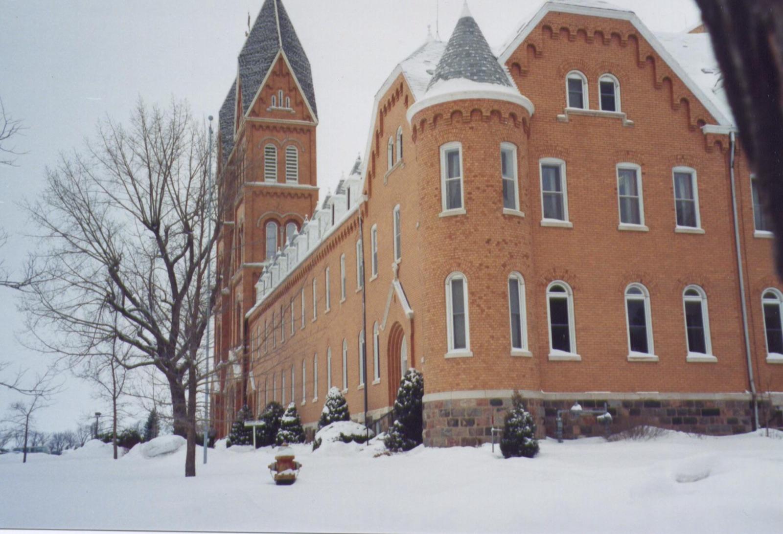 Best spotRichardtonStark County, North DakotaPublic access · Agate, Chalcedony, Agatized Wood +2
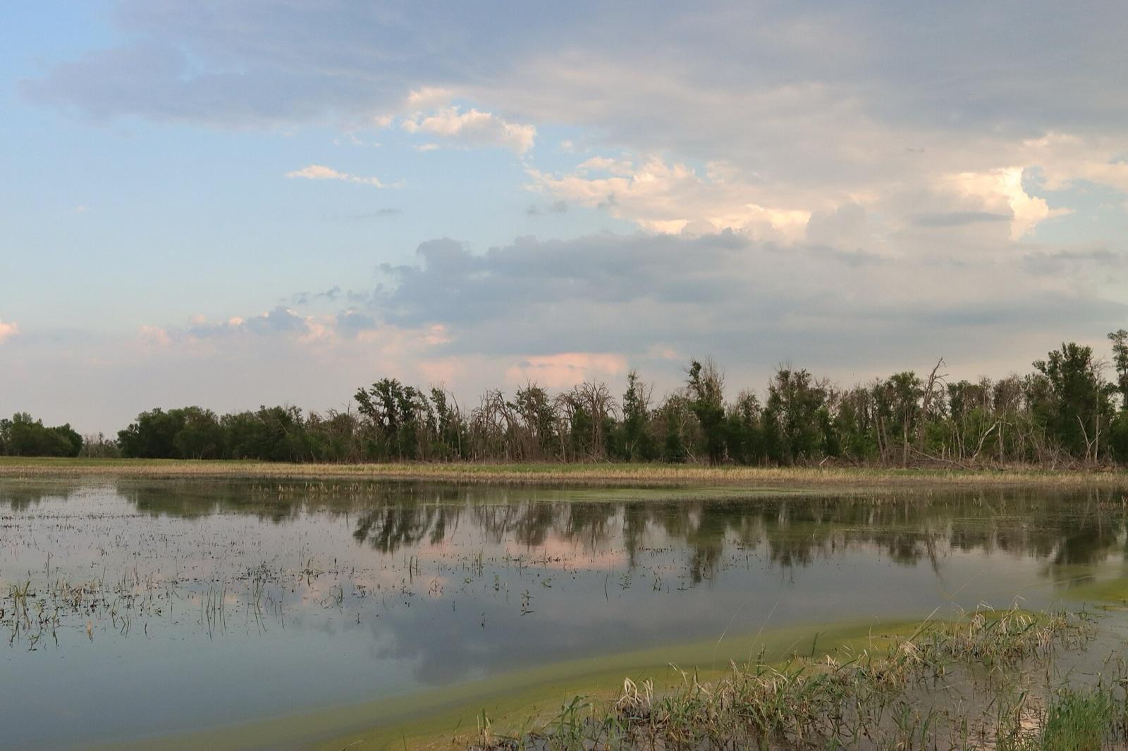 Best spotSouris RiverMcHenry County, North DakotaPublic access · Quartz, Agate, Chalcedony +2
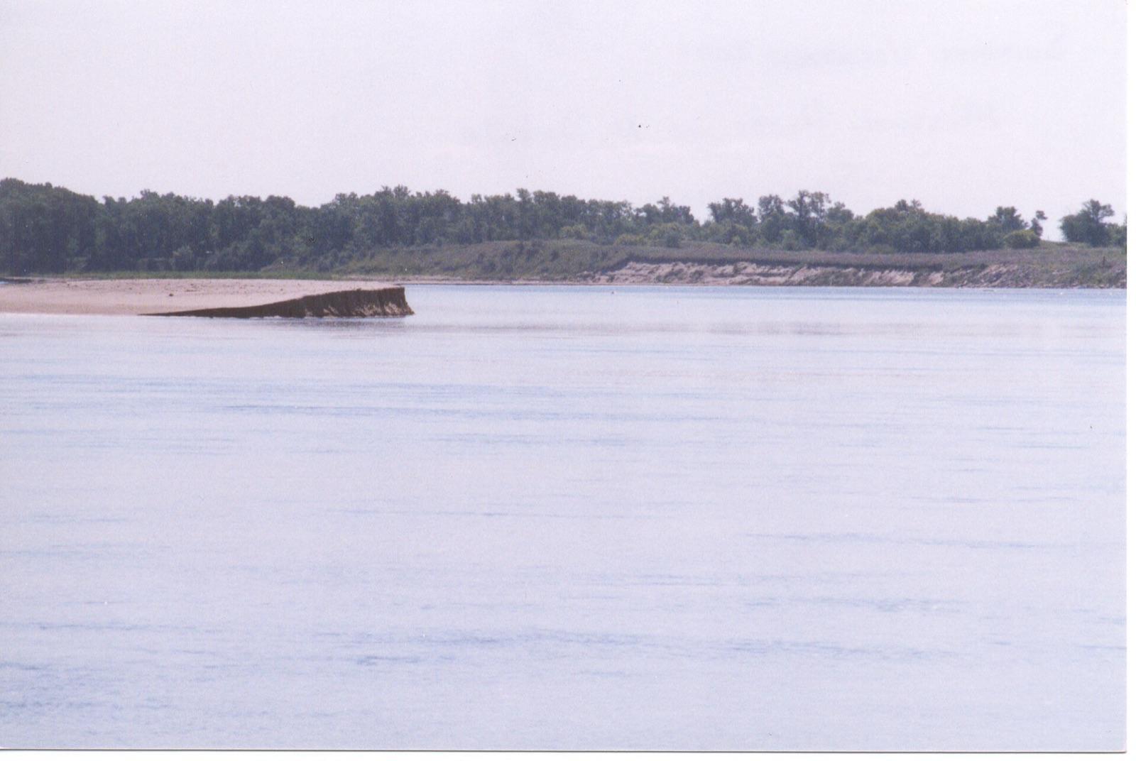 Best spotBismarckBurleigh County, North DakotaPublic access · Agate, Chalcedony, Silicified Wood +1
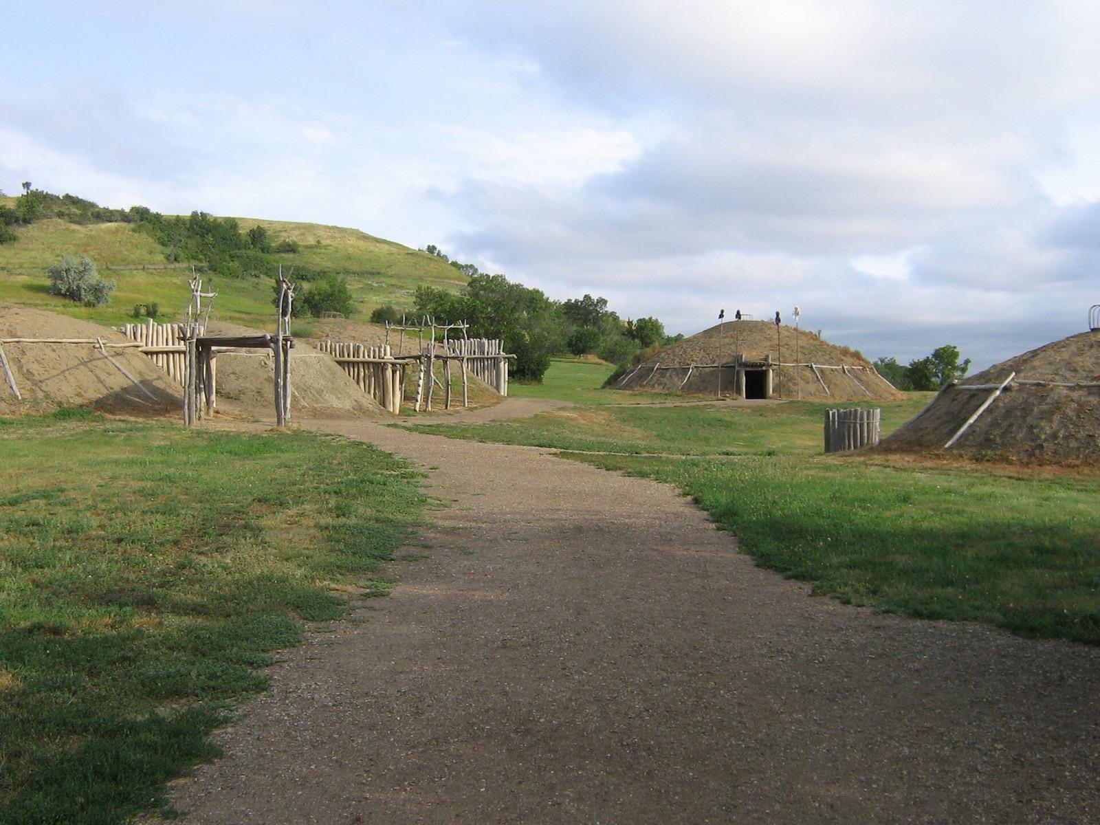 Best spotMandanMorton County, North DakotaPublic access · Agate, Chalcedony, Chert +1
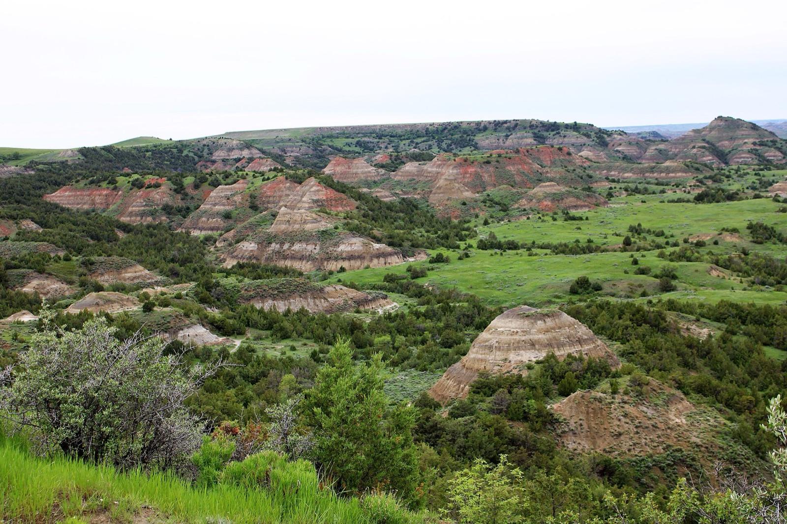 Best spotMedoraBillings County, North DakotaPermission required · Agate, Chalcedony, Silicified Wood
 Hettinger CountyHettinger County, North DakotaPublic access · Agate, Chalcedony, Silicified Wood +2
 Cannonball RiverSioux County, North DakotaPermission required · Agate, Chalcedony, Silicified Wood +1
- TappenKidder County, North DakotaPublic access · Agate, Chalcedony, Jasper +1
- Turtle MountainRolette County, North DakotaPermission required · Quartz, Agate, Chalcedony
- DickinsonStark County, North DakotaPublic access · Agate, Chalcedony
Standout agate spots in North Dakota
Hand-picked from the full list above, with the reason each one earns a trip.
Medora
Billings County
Medora sits in the badlands of Billings County, ringed by the Little Missouri National Grassland where the Forest Service permits casual collection of petrified wood, agate, and chalcedony.
Bismarck
Burleigh County
Bismarck fronts the Missouri River, the one North Dakota waterway the courts have held navigable, meaning the state owns the bed below the ordinary high water mark.
Souris River
McHenry County
The Souris, or Mouse, River loops through the drift prairie of north-central North Dakota, and its glacial gravels carry quartz, agate, chalcedony, and jasper eroded from Canadian bedrock and dropped by the ice sheets.
Mandan
Morton County
Mandan lies in the Cannonball Formation belt that produces Teredo-bored petrified wood, North Dakota's state fossil: ancient driftwood riddled by marine shipworms and later silicified.
Richardton
Stark County
Richardton sits in the gravels of Stark County at the eastern edge of the Little Missouri badlands collecting country, where the Bullion Creek and Sentinel Butte formations shed agate, chalcedony, agatized wood, jasper, and blades of selenite.
Best counties for agate in North Dakota
Ranked by the number of mapped agate spots. County links open the full rockhounding page for that county.
- Stark County2 spots
- Billings County1 spot
- Burleigh County1 spot
- Hettinger County1 spot
- Kidder County1 spot
- McHenry County1 spot
- Morton County1 spot
- Rolette County1 spot
- Sioux County1 spot
Before you go
Read the agate identification guide so you know what a keeper looks like in the field: Agate in the encyclopedia.
Agate in North Dakota FAQ
Where can you find agate in North Dakota?+
How many agate spots are mapped in North Dakota?+
Is it legal to collect agate in North Dakota?+
Where else to find agate
More minerals to hunt in North Dakota
Hunt agate in North Dakota with the map in your pocket
RockHoundR puts these spots on an offline map with BLM and Forest Service overlays, geology layers, and a log for your finds.

