
Where to Find Jasper in Nebraska
Nebraska jasper shares ground with the state's prairie agate and chalcedony. Sioux and Box Butte counties in the Pine Ridge country produce red, yellow, and brown jasper in Tertiary silica-cemented sediments, often with banded chalcedony rims. The Hat Creek and Indian Creek drainages in Sioux County yield surface jasper float on ranch country. Cheyenne County adds occasional dendritic jasper in the North Platte gravels. Nebraska jasper tends toward soft, earth-tone colors and modest size, but takes a good polish for cabbing. Most ground is private and access depends on ranch permission.
Every jasper spot we track in Nebraska
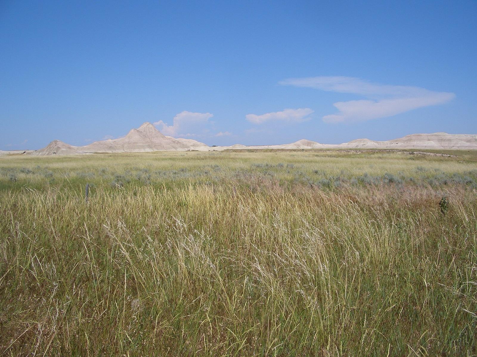 Best spotOrellaDawes County, NebraskaPublic access · Fairburn Agate, Jasper, Carnelian +4
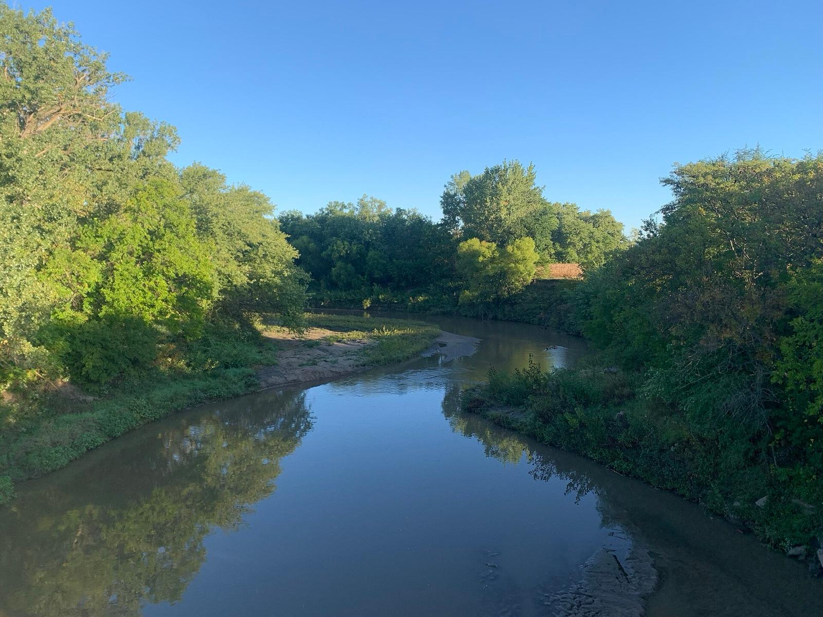 Best spotLittle Nemaha RiverNemaha County, NebraskaPublic access · Agate, Moss Agate, Chalcedony +2
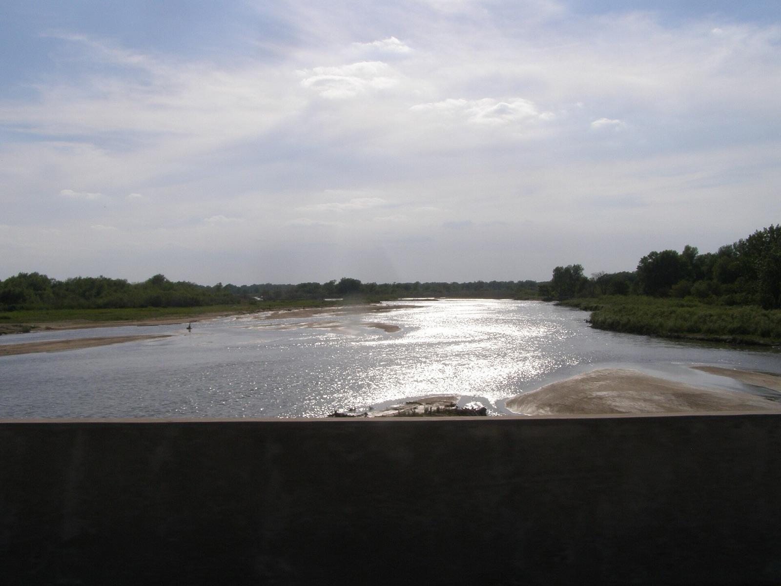 Best spotPlatte RiverBuffalo County, NebraskaPublic access · Agate, Chalcedony, Jasper +1
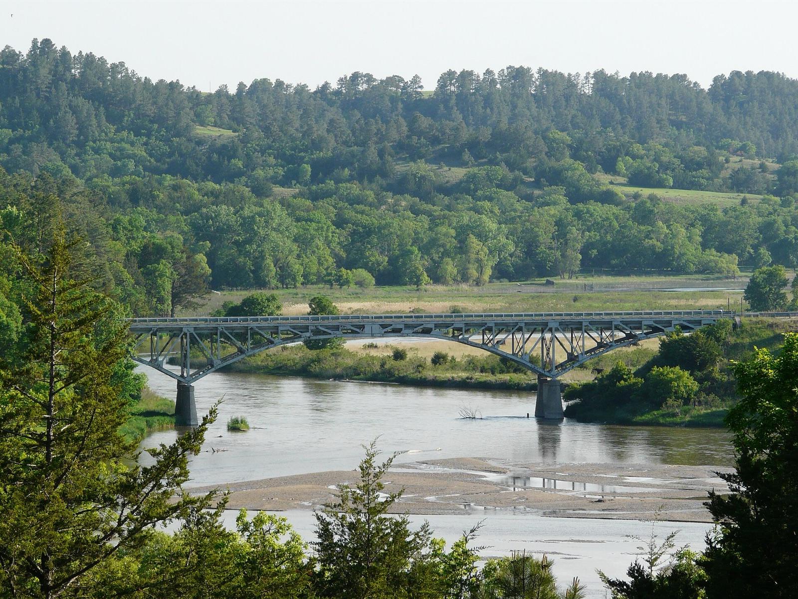 Best spotValentineCherry County, NebraskaPermission required · Agatized Wood, Opalized Wood, Agate +1
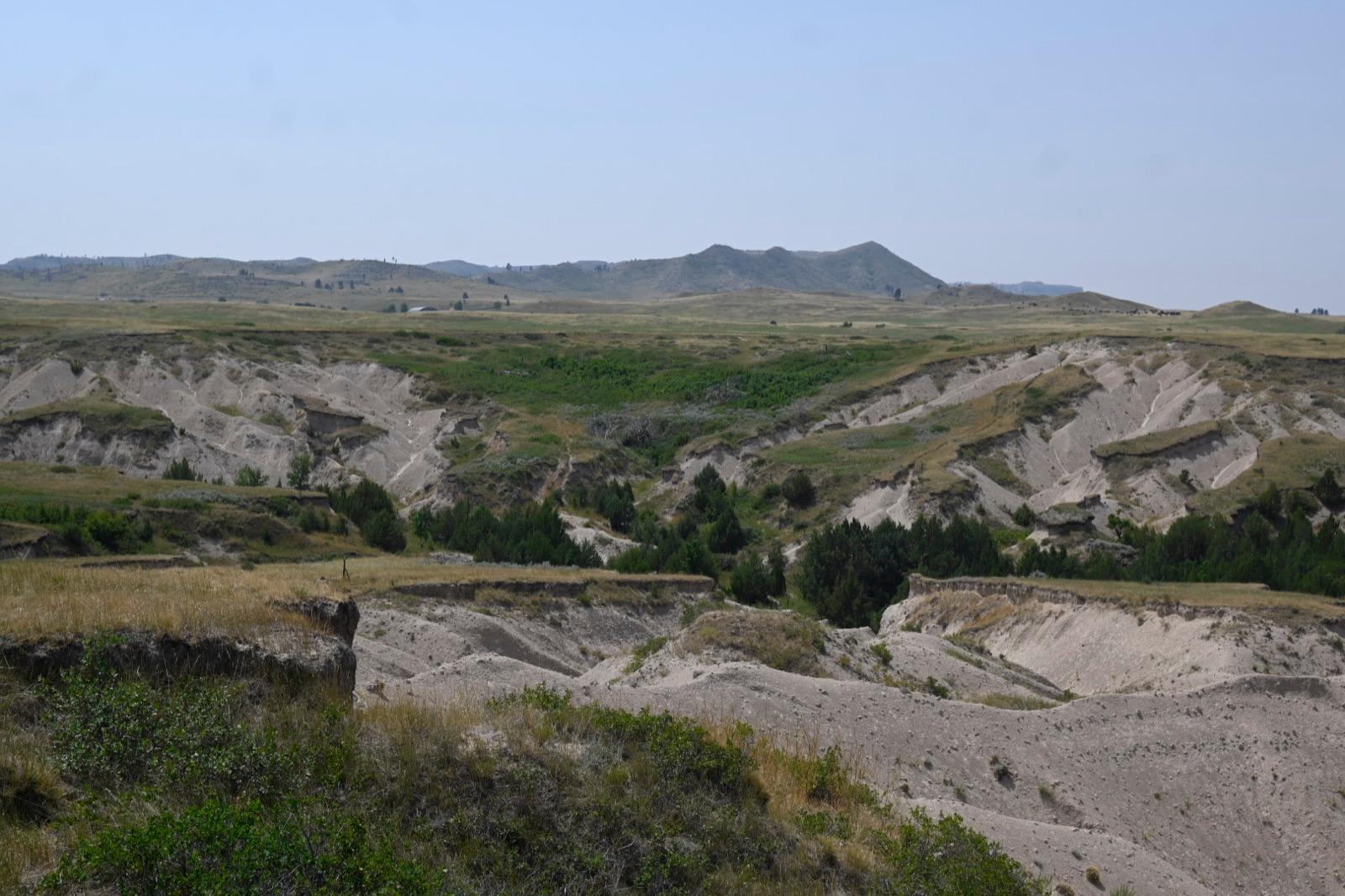 Best spotMontroseSioux County, NebraskaPublic access · Agate, Jasper, Fossil
 Agate Fossil BedsSioux County, NebraskaPublic access · Agate, Jasper, Chalcedony +3
- Whiteclay (Fairburn area)Sheridan County, NebraskaPublic access · Fairburn Agate, Jasper, Chalcedony +3
- ChappellDeuel County, NebraskaPublic access · Fairburn Agate, Jasper, Chalcedony +2
- FairburyJefferson County, NebraskaPublic access · Agate, Chalcedony, Jasper +1
- Platte CenterButler County, NebraskaPublic access · Agate, Chalcedony, Jasper +1
- Steel CityJefferson County, NebraskaPublic access · Agate, Chalcedony, Jasper +1
 WhiteclaySheridan County, NebraskaPermission required · Agate, Chalcedony, Jasper +1
- Crawford (jasper area)Dawes County, NebraskaPublic access · Fairburn Agate, Jasper, Petrified Wood
- Weeping WaterCass County, NebraskaPublic access · Chalcedony, Jasper, Fossil
- Republican RiverRed Willow County, NebraskaPublic access · Jasper
Standout jasper spots in Nebraska
Hand-picked from the full list above, with the reason each one earns a trip.
Platte River
Buffalo County
The braided Platte at Kearney concentrates agate, chalcedony, jasper, and petrified wood in its gravel bars, all tumbled east from the Rockies and the western Nebraska gravels.
Valentine
Cherry County
The Niobrara River country around Valentine, on the edge of the Nebraska Sandhills, carries agatized and opalized wood, agate, and jasper in its river and terrace gravels.
Orella
Dawes County
The heart of Nebraska rockhounding.
Little Nemaha River
Nemaha County
In far southeast Nemaha County the Little Nemaha River and the surrounding glacial drift carry moss agate, chalcedony, jasper, and petrified wood, giving the corn-country side of Nebraska its own honest rockhounding, far from the Panhandle.
Montrose
Sioux County
A classic Sioux County agate ground in the far northwest, on the Oglala National Grassland side of the Pine Ridge.
Best counties for jasper in Nebraska
Ranked by the number of mapped jasper spots. County links open the full rockhounding page for that county.
- Dawes County2 spots
- Jefferson County2 spots
- Sheridan County2 spots
- Sioux County2 spots
- Buffalo County1 spot
- Butler County1 spot
- Cass County1 spot
- Cherry County1 spot
- Deuel County1 spot
- Nemaha County1 spot
- Red Willow County1 spot
Before you go
Read the jasper identification guide so you know what a keeper looks like in the field: Jasper in the encyclopedia.
Jasper in Nebraska FAQ
Where can you find jasper in Nebraska?+
How many jasper spots are mapped in Nebraska?+
Is it legal to collect jasper in Nebraska?+
Where else to find jasper
More minerals to hunt in Nebraska
Hunt jasper in Nebraska with the map in your pocket
RockHoundR puts these spots on an offline map with BLM and Forest Service overlays, geology layers, and a log for your finds.

