
Rockhounding in Lower Connecticut River Valley Planning Region, Connecticut
16 mapped rockhounding spots in Lower Connecticut River Valley Planning Region. Most commonly produces beryl, aquamarine, albite, garnet.
Every rockhounding spot in Lower Connecticut River Valley Planning Region
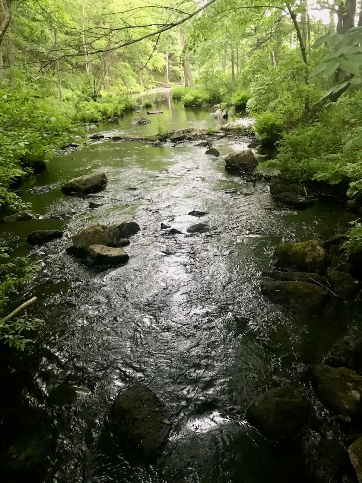 Best spotClark Hill QuarriesLower Connecticut River Valley Planning Region, ConnecticutPublic access · Beryl, Aquamarine, Garnet +7
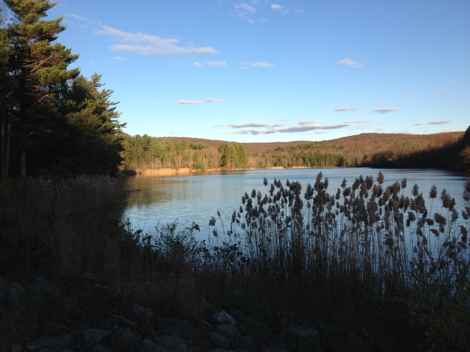 Best spotCase QuarriesLower Connecticut River Valley Planning Region, ConnecticutPublic access · Beryl, Aquamarine, Columbite +5
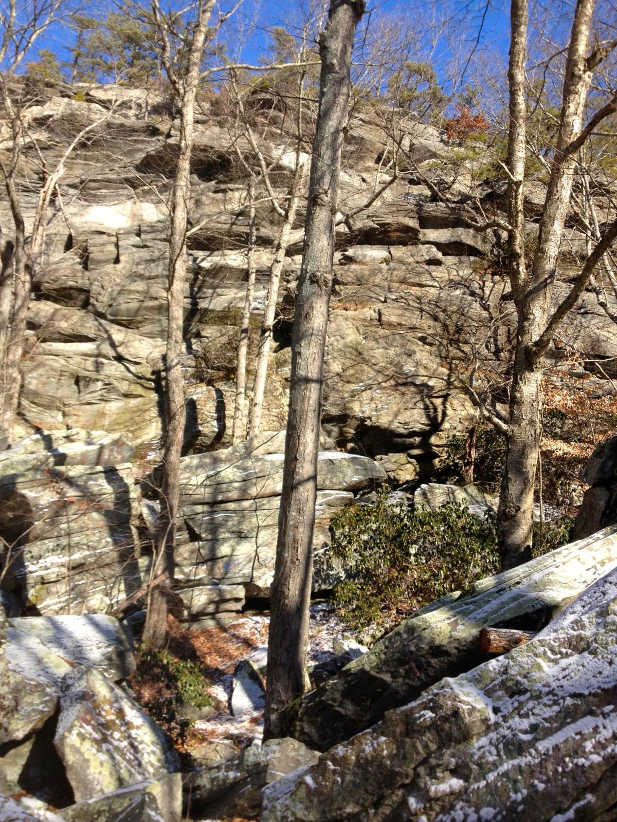 Best spotCCC QuarryLower Connecticut River Valley Planning Region, ConnecticutPublic access · Beryl, Aquamarine, Microcline +5
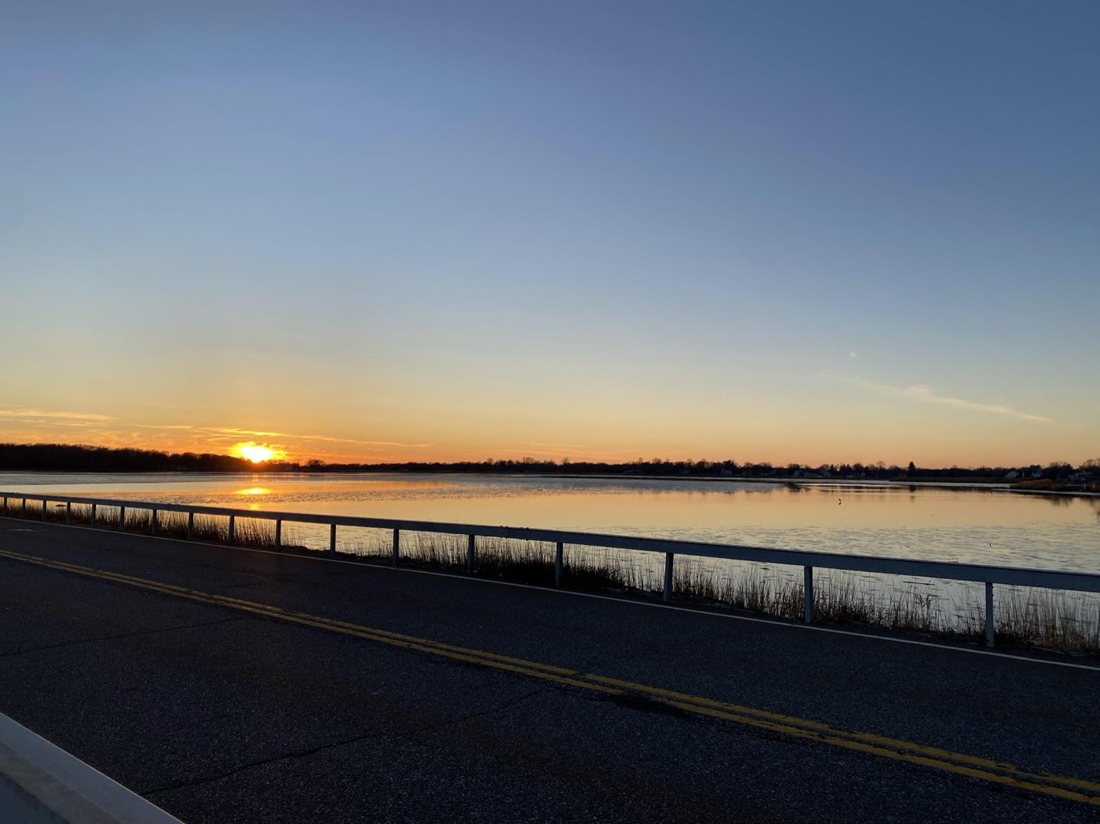 Best spotPlum Bank BeachLower Connecticut River Valley Planning Region, ConnecticutPublic access · Agate, Moonstone
 Collins HillLower Connecticut River Valley Planning Region, ConnecticutPublic access · Apatite, Aquamarine, Beryl +7
 Hewitt Gem QuarryLower Connecticut River Valley Planning Region, ConnecticutPermission required · Beryl, Aquamarine, Morganite +7
- Case QuarryLower Connecticut River Valley Planning Region, ConnecticutPermission required · Albite, Microcline, Quartz +6
- Gillette QuarryLower Connecticut River Valley Planning Region, ConnecticutPublic access · Amazonite, Aquamarine, Beryl +4
- Walden Gem QuarryLower Connecticut River Valley Planning Region, ConnecticutPublic access · Albite, Aquamarine, Beryl +4
- CCC PegmatiteLower Connecticut River Valley Planning Region, ConnecticutPermission required · Albite, Beryl, Columbite +1
- Pelton’s QuarryLower Connecticut River Valley Planning Region, ConnecticutPublic access · Citrine, Rose Quartz, Smoky Quartz +1
- MiddletownLower Connecticut River Valley Planning Region, ConnecticutPublic access · Galena, Chalcopyrite, Sphalerite
- Hale’s Brook QuarriesLower Connecticut River Valley Planning Region, ConnecticutPublic access · Beryl, Pegmatite
- Riverside QuarryLower Connecticut River Valley Planning Region, ConnecticutPublic access · Aquamarine, Beryl
- Slocum ProspectLower Connecticut River Valley Planning Region, ConnecticutPublic access · Beryl, Rose Quartz
- White Rocks QuarryLower Connecticut River Valley Planning Region, ConnecticutPublic access · Beryl, Tourmaline
Lower Connecticut River Valley Planning Region rockhounding photos
Representative spot and material photos from this county, shown where verified public image records are available.
Minerals reported in Lower Connecticut River Valley Planning Region
Standouts in Lower Connecticut River Valley Planning Region
Hand-picked spots in Lower Connecticut River Valley Planning Region, chosen for unusual mineralogy or documented public access. Each card opens the full coordinates and access notes.
- Top pick
Plum Bank Beach
Public accessLower Connecticut River Valley Planning Region
Plum Bank Beach is one of Connecticut's more reliable shoreline spots for surface agate and moonstone, tumbled from glacial outwash and concentrated in the beach gravel by Long Island Sound tides.
Agate, Moonstone
- Top pick
Case Quarries
Public accessLower Connecticut River Valley Planning Region
The Case Quarries are one of only three sites in Connecticut where mineral collecting on state land is legally sanctioned, set in the pegmatites of Meshomasic State Forest.
Beryl, Aquamarine, Columbite, Feldspar
- Top pick
Clark Hill Quarries
Public accessLower Connecticut River Valley Planning Region
Clark Hill in Meshomasic State Forest is a second DEEP-sanctioned collecting site and includes the well-known Nathan Hall Quarry.
Beryl, Aquamarine, Garnet, Muscovite
- Top pick
CCC Quarry
Public accessLower Connecticut River Valley Planning Region
The CCC Quarry, a 19th-century feldspar working near the old Civilian Conservation Corps camp in Cockaponset State Forest, is the third state-sanctioned collecting site in Connecticut.
Beryl, Aquamarine, Microcline, Albite
Neighboring counties in Connecticut
Adjacent rockhounding counties, ranked by how close their centroids sit to Lower Connecticut River Valley Planning Region. A natural extension if Lower Connecticut River Valley Planning Region is already on your trip plan.
- South Central Connecticut Planning Region~19 mi9 spotsTop: Amethyst, Calcite, Quartz
- Capitol Planning Region~19 mi9 spotsTop: Prehnite, Rose Quartz, Staurolite
- Southeastern Connecticut Planning Region~22 mi3 spotsTop: Apatite, Corundum, Iron Ore
- Northwest Hills Planning Region~39 mi8 spotsTop: Galena, Pyrite, Sphalerite
- Western Connecticut Planning Region~50 mi6 spotsTop: Graphite, Quartz, Aquamarine
Across the state line from Lower Connecticut River Valley Planning Region
Rockhounding counties in neighboring states within driving range. Geology rarely respects state borders. These are often the closest mapped spots you can reach without going deeper into Connecticut.
Lower Connecticut River Valley Planning Region FAQ
Where can I rockhound in Lower Connecticut River Valley Planning Region, Connecticut?+
What rocks and minerals are common in Lower Connecticut River Valley Planning Region?+
Are these Lower Connecticut River Valley Planning Region rockhounding spots on public land?+
Plan a Lower Connecticut River Valley Planning Region rockhounding trip
Open RockHoundR to see these spots on the map alongside land overlays, weather, geology, and your saved finds.

