
Rockhounding in Providence County, Rhode Island
9 mapped rockhounding spots in Providence County. Most commonly produces quartz, agate, amethyst, jasper.
Every rockhounding spot in Providence County
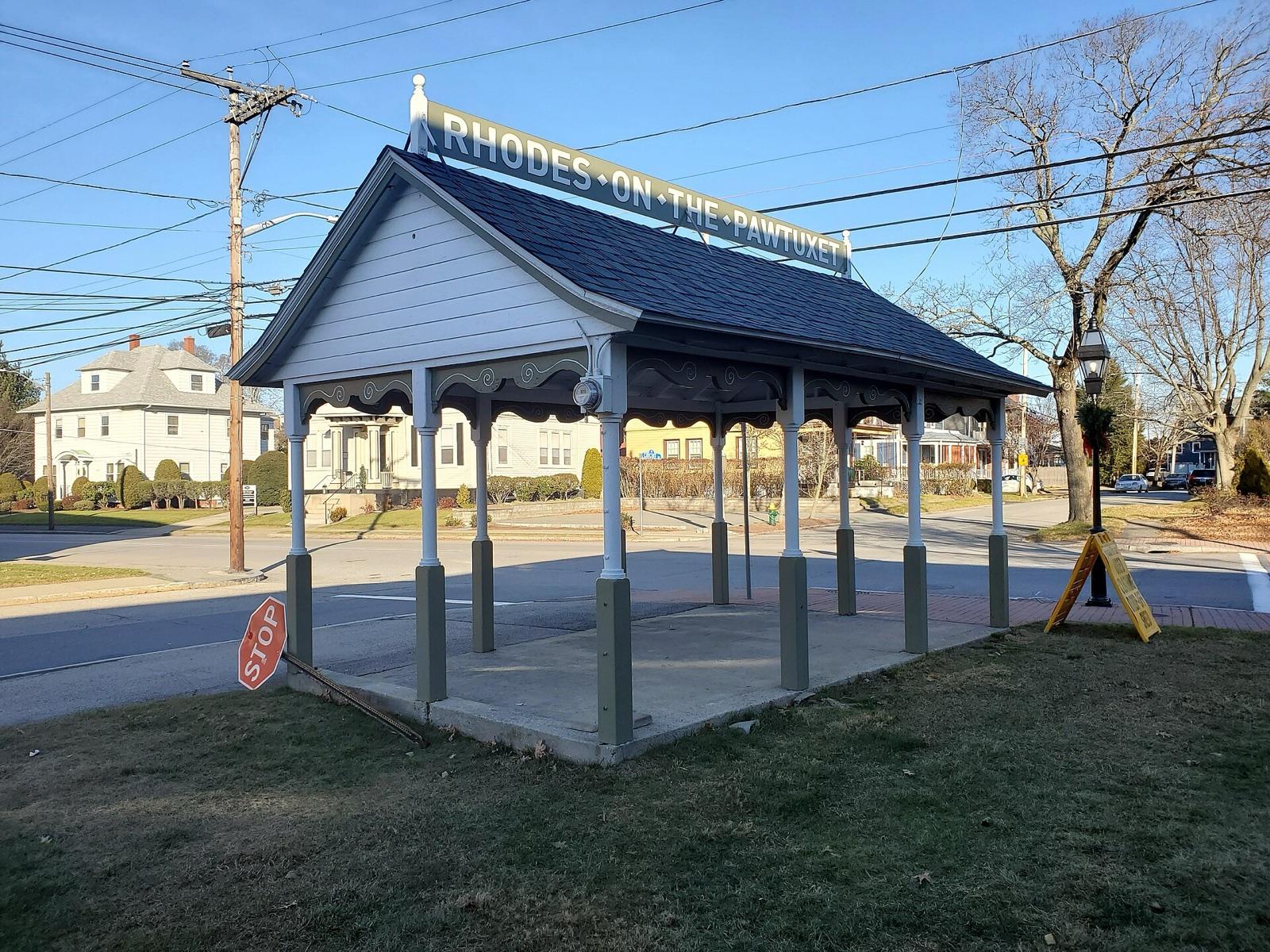 Best spotPawtuxetProvidence County, Rhode IslandPublic access · Agate, Carnelian, Amethyst +1
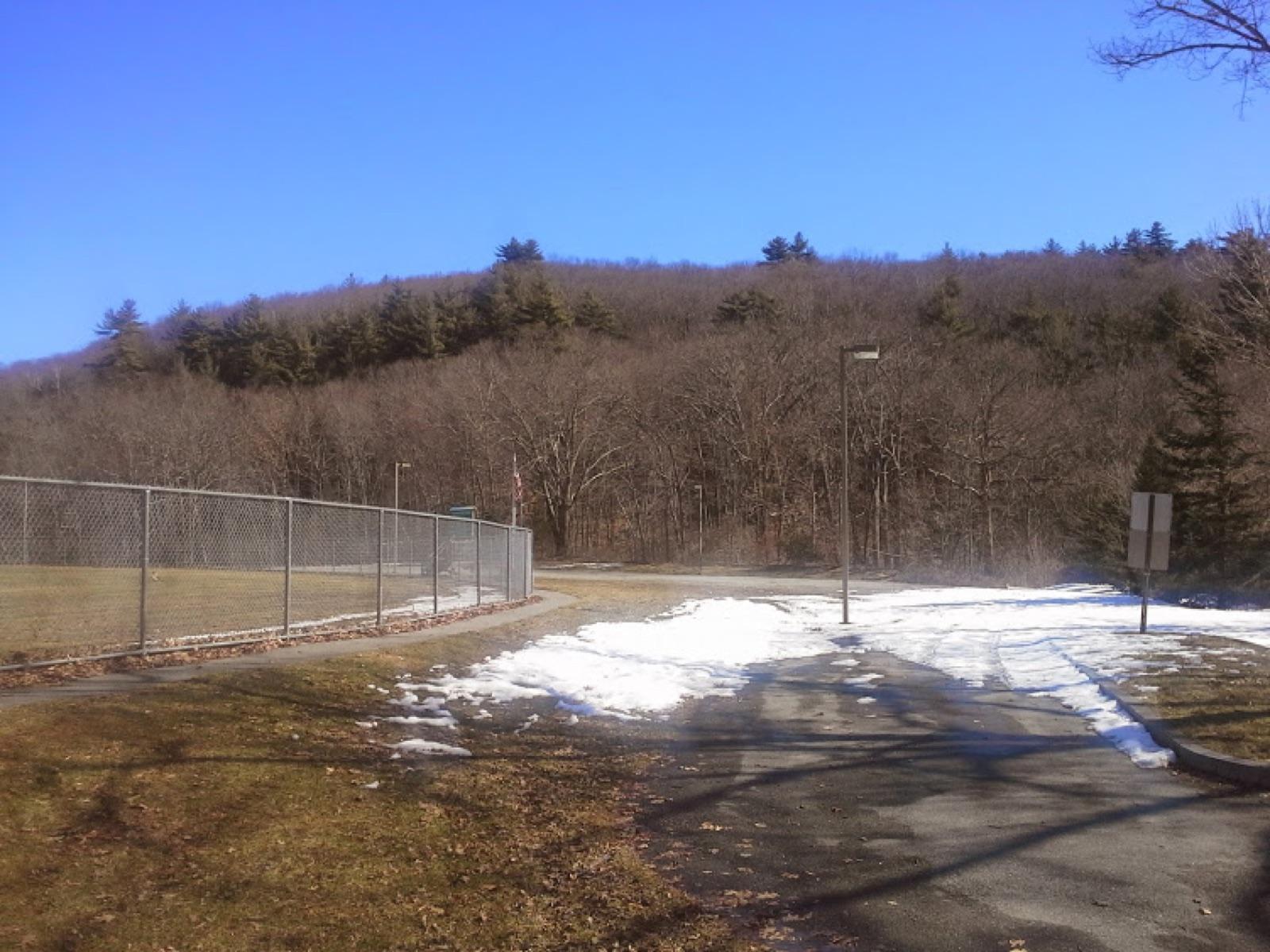 Best spotDiamond Hill Park, CumberlandProvidence County, Rhode IslandPublic access · Amethyst, Quartz, Smoky Quartz
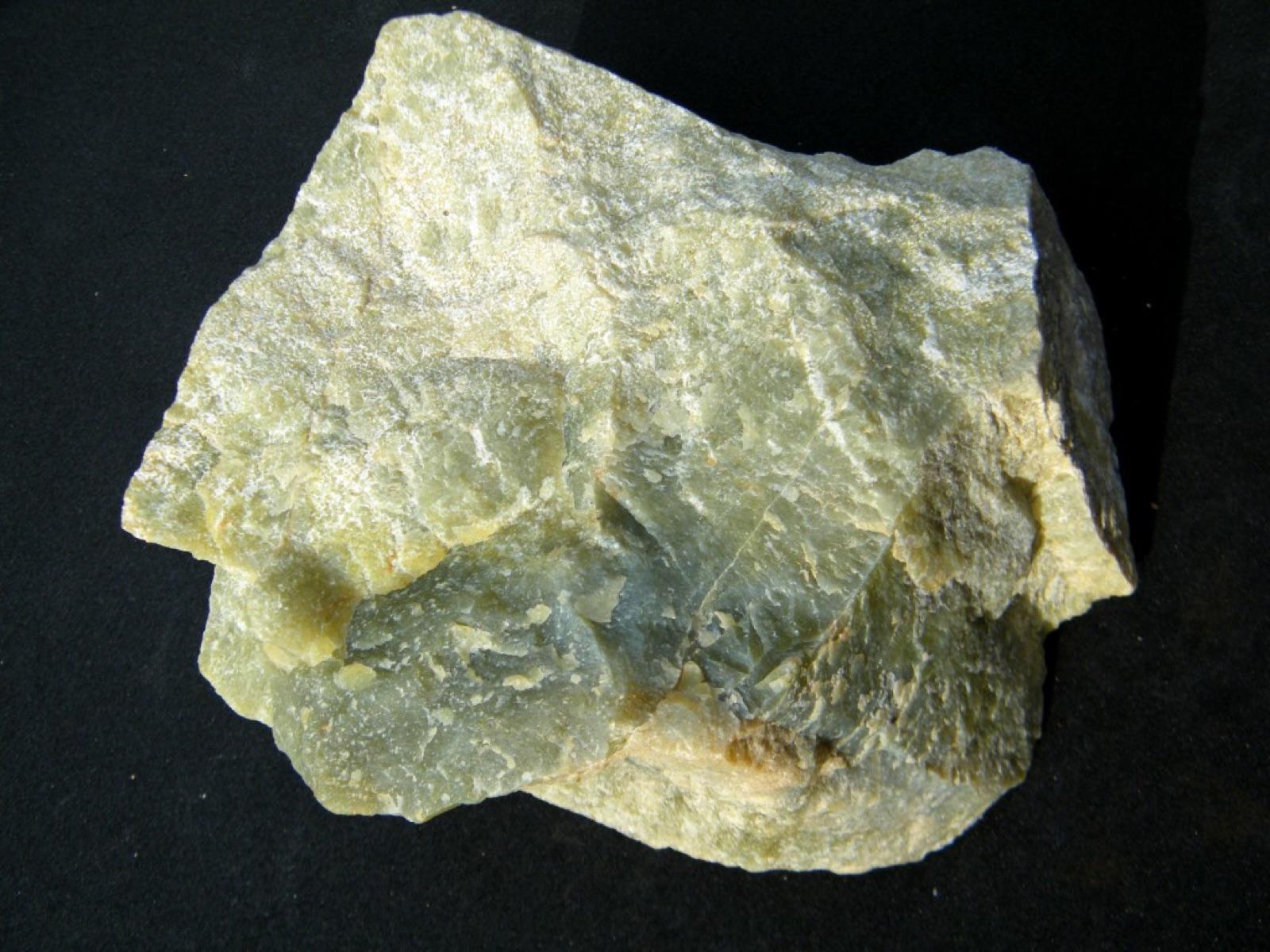 Best spotNorth ProvidenceProvidence County, Rhode IslandPublic access · Bowenite, Quartz, Serpentine
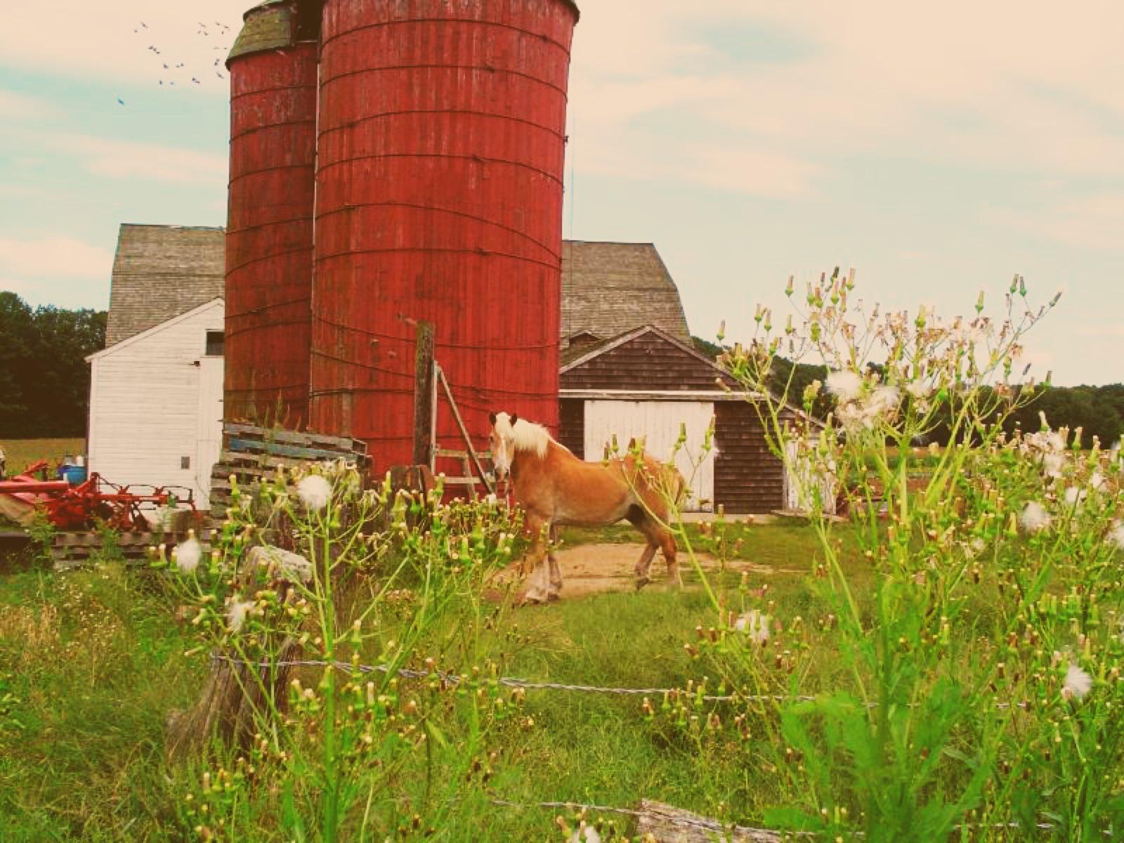 Best spotJohnstonProvidence County, Rhode IslandPublic access · Amethyst
 Moosup RiverProvidence County, Rhode IslandPublic access · Epidote, Hornblende, Orthoclase +7
- Sneech PondProvidence County, Rhode IslandPublic access · Chalcopyrite, Garnet, Magnetite +2
- Cumberland HillProvidence County, Rhode IslandPublic access · Agate, Chalcedony, Jasper +1
- ProvidenceProvidence County, Rhode IslandPublic access · Agate, Chalcedony, Jasper +1
- JohnstonProvidence County, Rhode IslandPublic access · Quartz
Providence County rockhounding photos
Representative spot and material photos from this county, shown where verified public image records are available.
Minerals reported in Providence County
Standouts in Providence County
Hand-picked spots in Providence County, chosen for unusual mineralogy or documented public access. Each card opens the full coordinates and access notes.
- Top pick
Johnston
Public accessProvidence County
The rock cuts and volcanic outcrops in Johnston, near the Route 6 and Interstate 295 corridor, have produced amethyst and clear to smoky quartz from vugs in the underlying felsic bedrock.
Amethyst
- Top pick
Pawtuxet
Public accessProvidence County
The Narragansett Bay beach gravels at Pawtuxet Village turn up agate, carnelian, amethyst, and jasper pebbles, the same chalcedony suite that washes out of the region's volcanic and glacial deposits.
Agate, Carnelian, Amethyst, Jasper
- Top pick
North Providence
Public accessProvidence County
The serpentine belt running through northern Rhode Island is the home of bowenite, the state mineral, a hard translucent green serpentine close enough to jade to be cut as a gemstone.
Bowenite, Quartz, Serpentine
- Top pick
Diamond Hill Park, Cumberland
Public accessProvidence County
Diamond Hill is a massive white quartz outcrop with a 350-foot vertical face, historically Rhode Island's most famous locality for milky and smoky quartz and the amethyst that gave the hill its name.
Amethyst, Quartz, Smoky Quartz
Neighboring counties in Rhode Island
Adjacent rockhounding counties, ranked by how close their centroids sit to Providence County. A natural extension if Providence County is already on your trip plan.
Across the state line from Providence County
Rockhounding counties in neighboring states within driving range. Geology rarely respects state borders. These are often the closest mapped spots you can reach without going deeper into Rhode Island.
- Plymouth County~37 miMassachusetts · 2 spotsTop: Agate, Chalcedony, Jasper
- Southeastern Connecticut Planning Region~43 miConnecticut · 3 spotsTop: Apatite, Corundum, Iron Ore
- Norfolk County~44 miMassachusetts · 1 spotTop: Epidote, Jasper
- Worcester County~49 miMassachusetts · 4 spotsTop: Beryl, Chalcopyrite, Muscovite
Providence County FAQ
Where can I rockhound in Providence County, Rhode Island?+
What rocks and minerals are common in Providence County?+
Are these Providence County rockhounding spots on public land?+
Plan a Providence County rockhounding trip
Open RockHoundR to see these spots on the map alongside land overlays, weather, geology, and your saved finds.

