Rockhounding in Connecticut

Updated August 2026

55 mapped spots for rock hunting and rock collecting across 9 counties. Connecticut rockhounding is pegmatite country along the lower Connecticut River, where the Middletown district around Portland, Haddam, and East Hampton produced beryl, aquamarine, golden beryl, rose quartz, and tourmaline, plus the traprock ridges of the Hartford Basin with their chalcedony, prehnite, and zeolites, garnet in the western hills, and quartz pebbles on the Long Island Sound beaches.

Where is the best rockhounding in Connecticut?

The best rockhounding in Connecticut is at Guilford & East Haven in South Central Connecticut Planning Region (agate), Hubbard Park in South Central Connecticut Planning Region (quartz), and Plum Bank Beach in Lower Connecticut River Valley Planning Region (agate, moonstone). In total, 55 mapped collecting spots across 9 counties produce beryl, quartz, and aquamarine, each listed below with its land access.

Open the full map

Every rockhounding spot in Connecticut

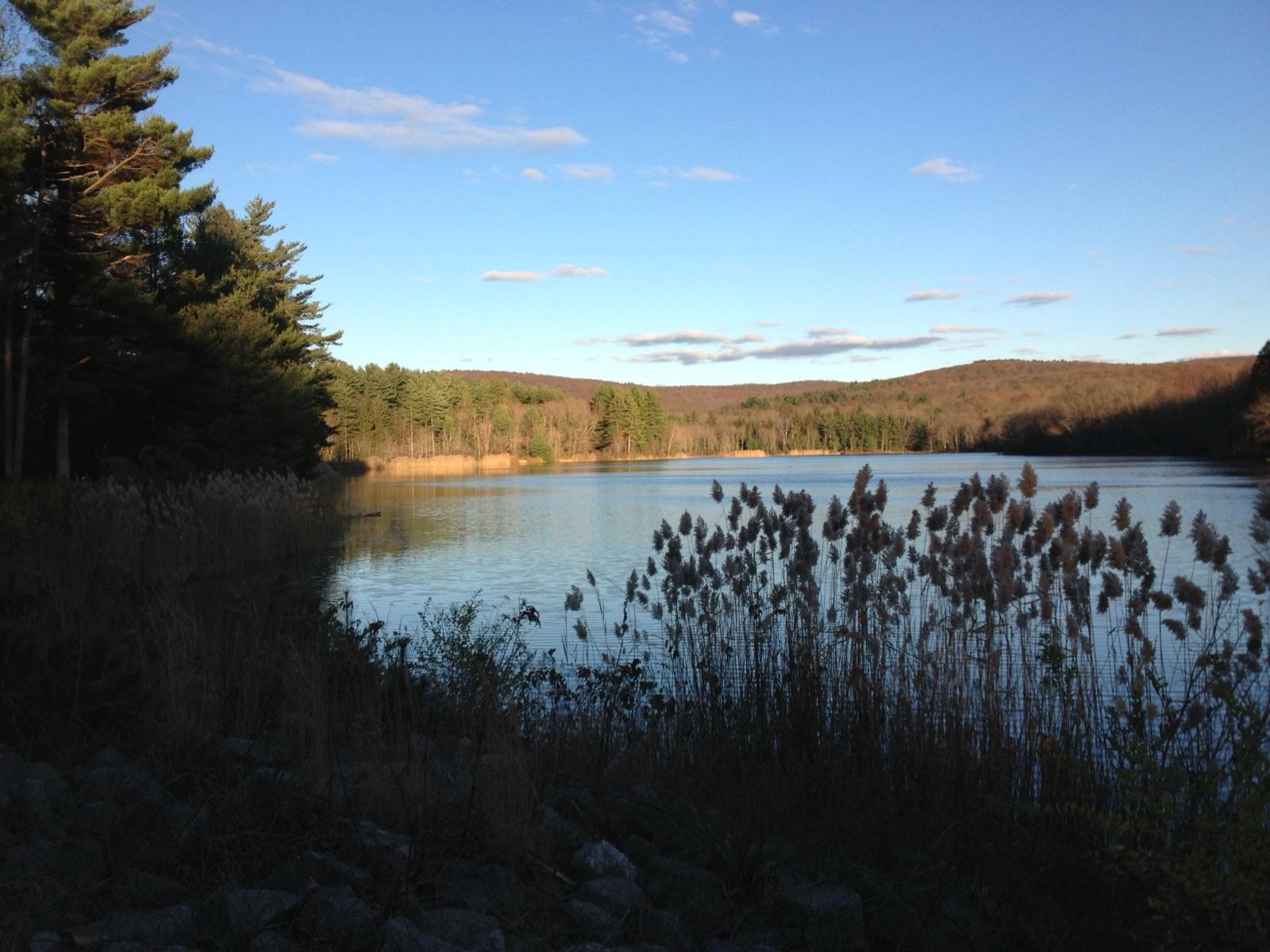
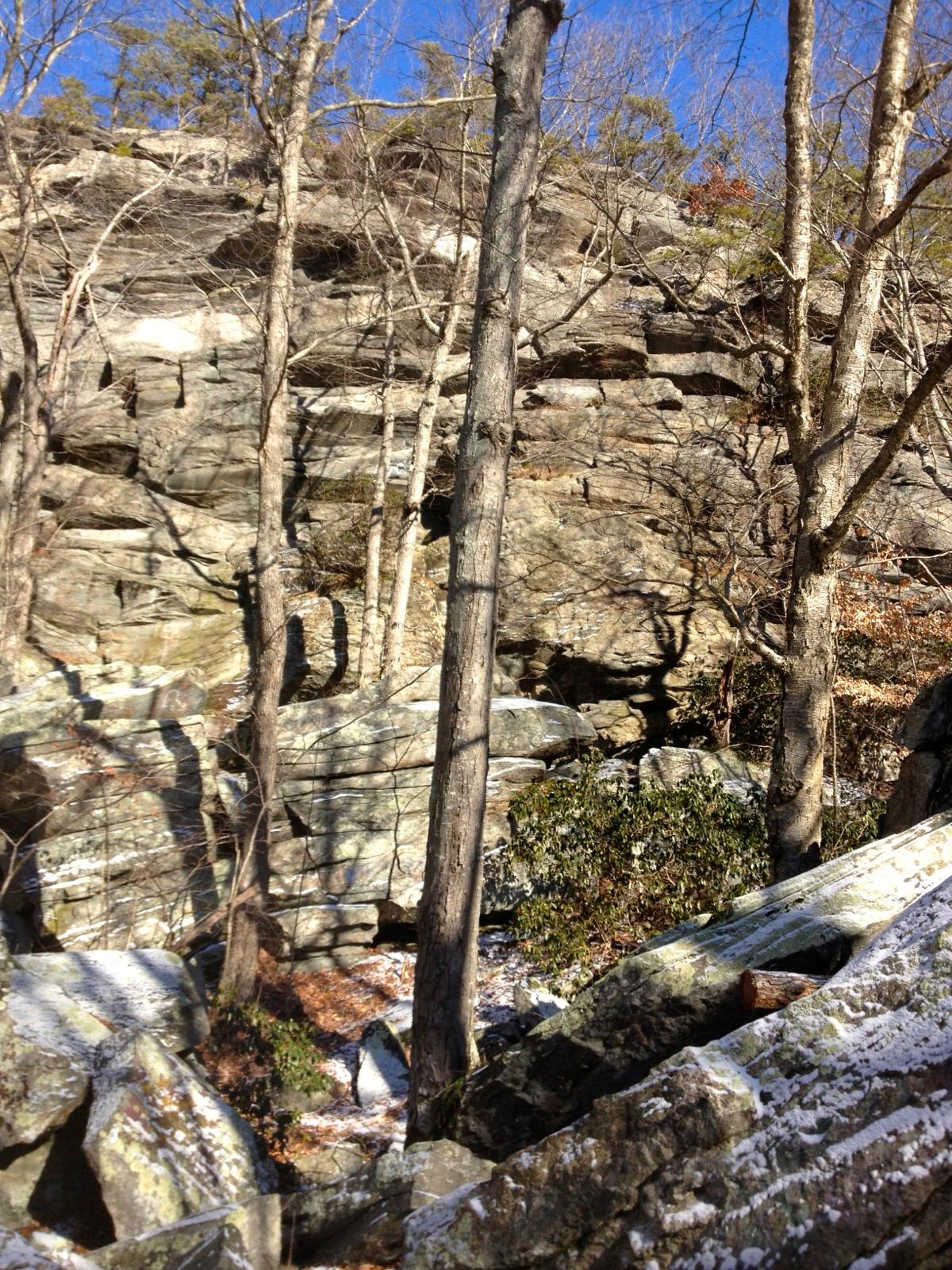
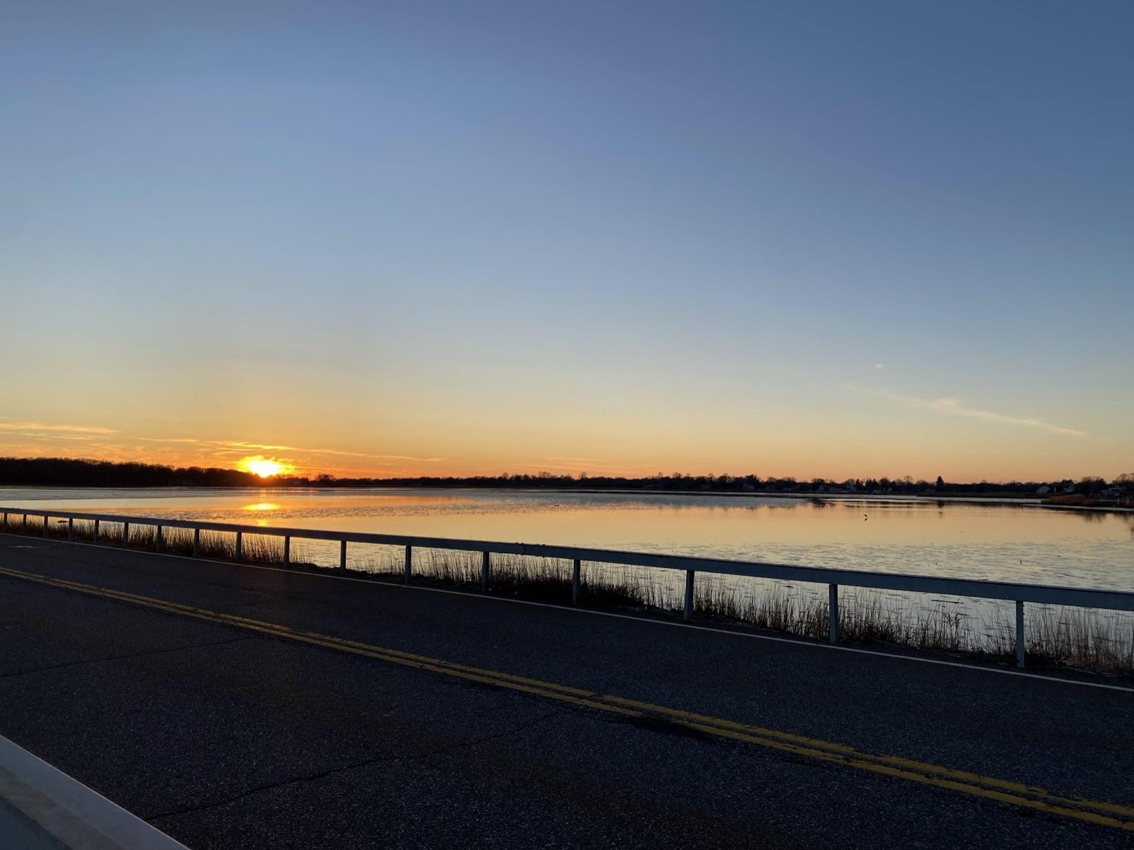
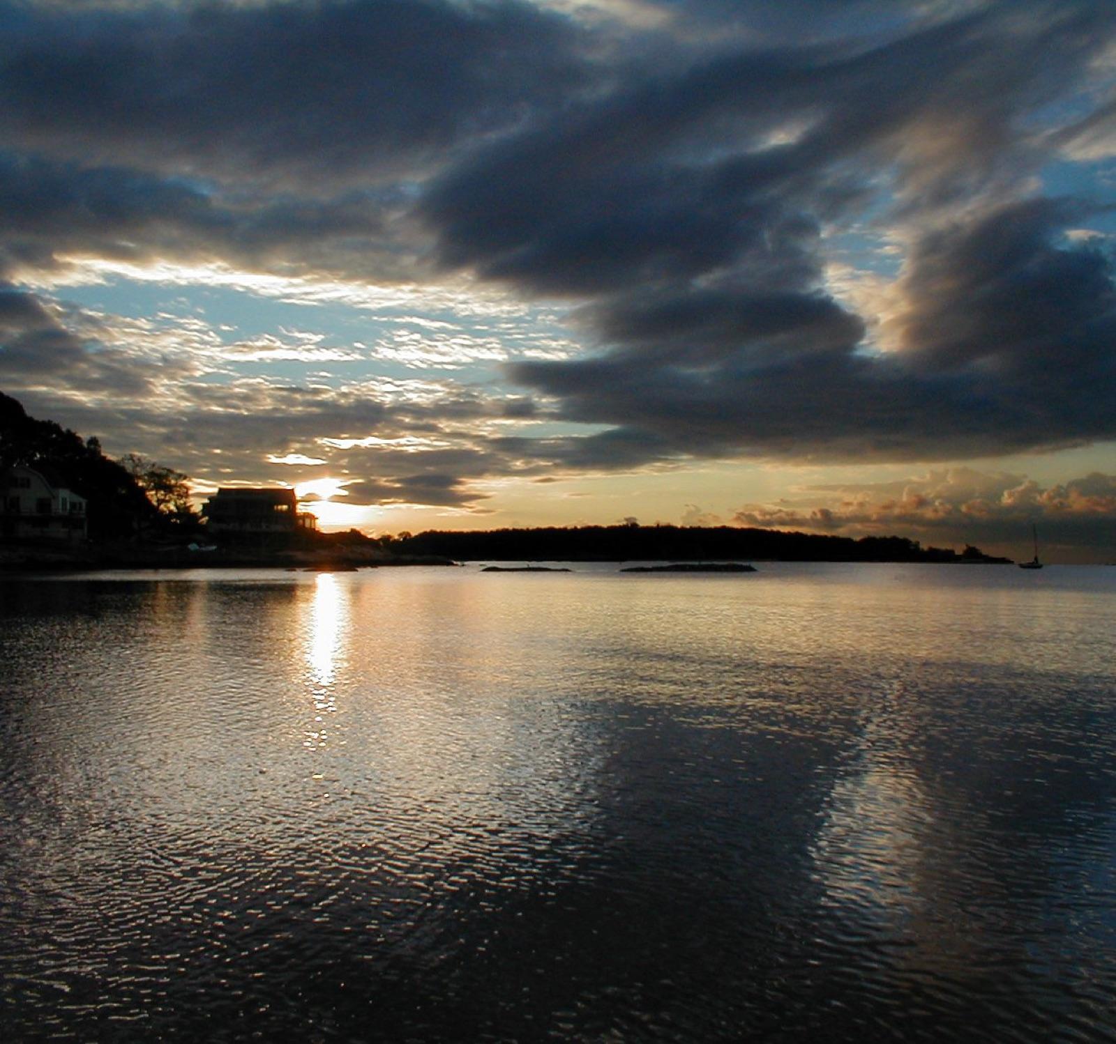
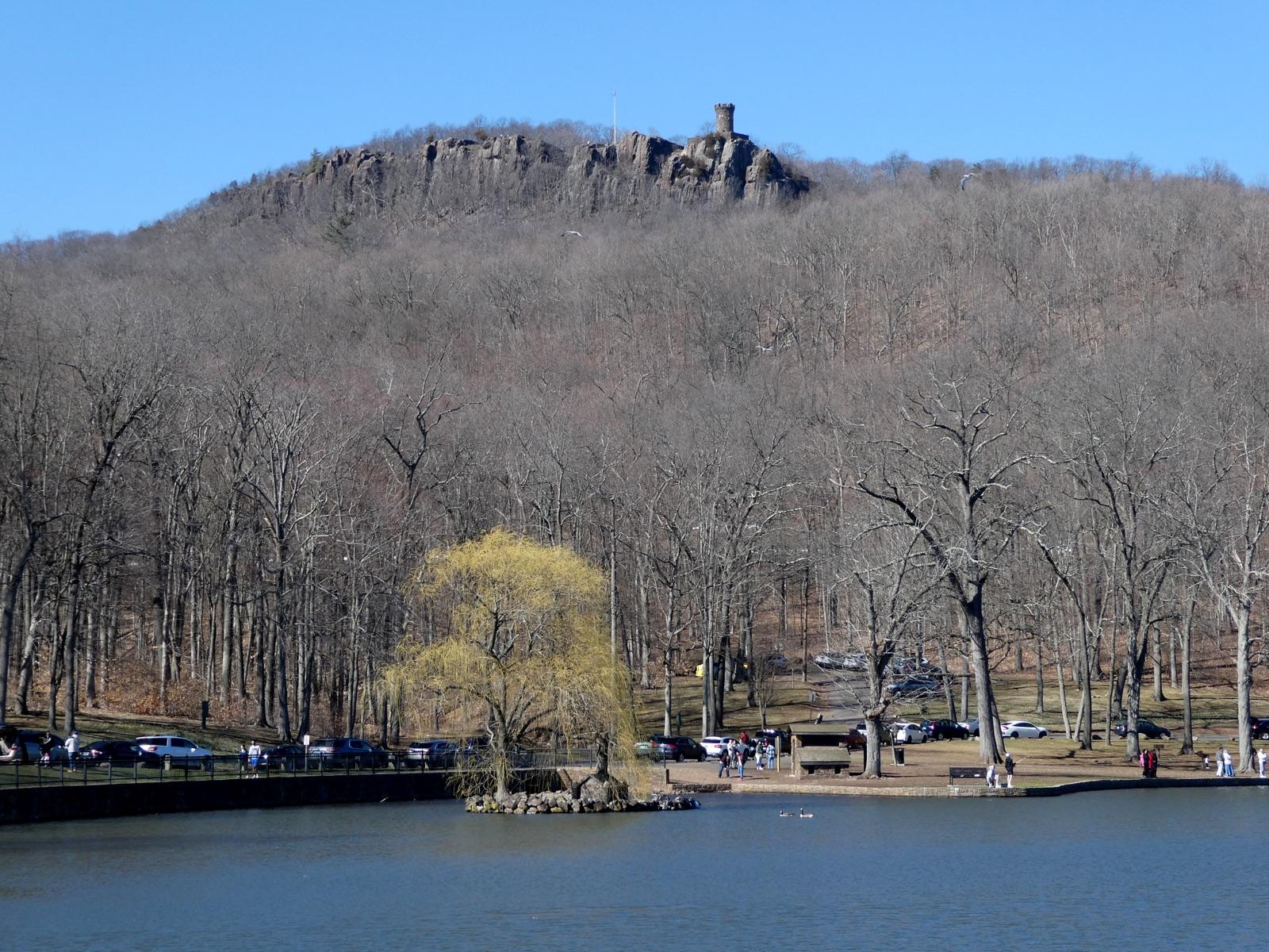
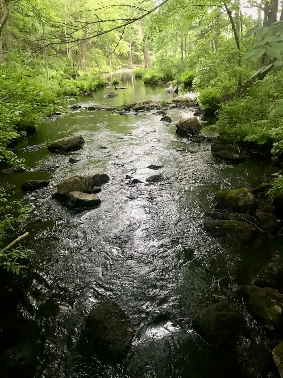
Connecticut rockhounding photos

Representative spot and material photos from locations in this state, shown where verified public image records are available.

5 photos

Top minerals found in Connecticut

Counts reflect how many spots in this list mention each mineral.

Notable areas: Middletown district beryl and aquamarine, Roxbury garnet, Haddam chrysoberyl, Farmington Valley traprock chalcedony and prehnite, and Long Island Sound beach jasper are the Connecticut targets collectors travel for.

Geology behind Connecticut rockhounding

The state is split by the Hartford Basin, a Triassic and Jurassic rift filled with red sandstone and shale and interlayered basalt flows. Those flows form the Hanging Hills at Meriden and the Talcott Range and carry chalcedony, agate, prehnite, datolite, and zeolites in old traprock quarries; the sandstone holds the Rocky Hill dinosaur tracks. East of the basin the Eastern Highlands are Devonian gneiss and schist intruded by the pegmatites of the Middletown district: Strickland, Case, Clark Hill, and the CCC quarries around Portland, East Hampton, and Haddam produced beryl in several colors, tourmaline, rose quartz, columbite, and Haddam's type-locality chrysoberyl. The Western Highlands are older gneiss and marble with almandine garnet in the schists around Roxbury, staurolite and kyanite in the Litchfield hills, graphite and pyrite in old prospects, and the Bristol copper mine's chalcocite. Glacial drift and the Sound beaches at Old Saybrook, Guilford, and East Haven collect quartz, jasper, and chalcedony pebbles.

Best regions to focus your search

Middletown pegmatite district (Portland, East Hampton, Haddam, Middletown)

Case, Clark Hill, and the CCC quarries are the classic dumps for beryl, aquamarine, rose quartz, and tourmaline. Some sit on state forest where removal needs DEEP permission; others are private and open only on club days.

Traprock ridges (Meriden, Southington, Farmington Valley)

Chalcedony, agate, prehnite, and zeolites from the basalt. Hubbard Park in Meriden is a look-but-check-first city park; the working quarries open only on arranged visits.

Western Highlands (Roxbury, Litchfield, Bristol)

Almandine garnet at the Roxbury garnet ground, staurolite and kyanite in Litchfield County schist, copper minerals around Bristol. Almost all private; ask the landowner.

Long Island Sound shore (Old Saybrook, Guilford, East Haven, Madison)

Quartz, jasper, and chalcedony pebbles on public beaches like Plum Bank, best after winter storms. Surface picking only.

Best season

April through November for the pegmatite dumps and highlands; spring after snowmelt exposes fresh talus and rain washes the dumps. Beach pebbles are best in winter and after storms. Frozen ground and mud close the inland sites from December to March.

What to bring

Rock hammer, chisels, safety glasses, gloves, a hand lens for spotting beryl in feldspar, a small pry bar for dump blocks, and a bucket. Poison ivy and ticks are the real hazards on old quarry dumps; wear long pants.

Local collecting history

The Middletown district's pegmatites were quarried for feldspar and mica from the early 1800s, with Strickland Quarry in Portland becoming one of the most famous mineral localities in the Northeast. Bristol's copper mine worked from 1836, and Rocky Hill's dinosaur tracks, found in 1966, became Dinosaur State Park. Almandine garnet was named the state mineral in 1977.

Rockhounding near major Connecticut cities

Day-trip range. Each section lists the closest mapped rockhounding spots within about 150 miles of the city. Most are inside a 2 to 3 hour drive.

Rockhounding near Hartford

See all →

6 closest spots to Hartford, CT.

Neighboring states with rockhounding

Geology rarely respects state borders. These states share mapped rockhounding country with Connecticut, useful when Connecticut is the start, not the whole trip. Each card links to the closest county across the line.

Rockhounding by county in Connecticut

County pages are linked once we have at least 3 mapped spots for a focused guide with coordinates, mineral notes, and nearby spots.

Top picks in Connecticut

6 best spots

Hand-picked standouts from the Connecticut list, chosen for unusual mineralogy, documented public access, or both. Each card links to coordinates, access notes, and what to look for.

Rock and mineral clubs in Connecticut

6 clubs in Connecticut. Clubs run field trips, shows and workshops, and many trips go to private claims you can't reach alone.

Full club directory →

Connecticut rockhounding FAQ

Is rockhounding legal in Connecticut?+
Yes, on private land with permission, on club field trips to quarries, and by surface picking on public beaches. State parks, state forests, and wildlife areas prohibit removing rocks and minerals without a permit, so the well-known pegmatite dumps on state land are not open collecting sites.
Where can I find beryl in Connecticut?+
The Middletown pegmatite district around Portland, East Hampton, and Haddam, where the Case, Clark Hill, CCC, and Strickland quarries produced blue, green, and golden beryl. Access depends on the quarry: some are on state forest, some private. Local clubs run trips that solve the access problem.
Where is the Roxbury garnet locality?+
Green's Farm in Roxbury, Litchfield County, is the historic source of Connecticut's dodecahedral almandine garnets in mica schist. It is private land; permission is required and the ground has been heavily worked. Garnet also weathers into nearby brooks.
Can I collect at Hubbard Park in Meriden?+
Hubbard Park is a city park on the Hanging Hills basalt. The traprock there carries chalcedony and zeolites, but it is a park, not a quarry, so treat it as a place to observe and check current city rules before removing anything.
What rocks and minerals can you find in Connecticut?+
Connecticut spots in this list most often produce beryl, aquamarine, quartz, rose quartz, calcite, graphite, pyrite, and staurolite, plus garnet in the western hills, chalcedony and prehnite from the traprock, and beach jasper on the Sound.
Where can I go rock hunting in Connecticut?+
Rock hunting, rock collecting and rockhounding are the same hobby under different names. 55 spots are mapped in Connecticut, 52 of them with public access. Lower Connecticut River Valley Planning Region, Capitol Planning Region, and South Central Connecticut Planning Region have the most.
Is there gem mining or pay-to-dig in Connecticut?+
No fee digs or pay-to-dig gem mines are mapped in Connecticut yet. 52 of the 55 spots here have public access, so you can collect without paying a dig fee.
Where can I dig for crystals in Connecticut?+
24 mapped spots in Connecticut report quartz, amethyst, or smoky quartz, mostly in Lower Connecticut River Valley Planning Region, Capitol Planning Region, and South Central Connecticut Planning Region. Each one is in the list on this page with its land access.
Can you find geodes in Connecticut?+
None of the 55 mapped spots in Connecticut report geodes. The nearest states with mapped geode spots are New York (1), New Jersey (1), and Pennsylvania (4).
Where can I go gold panning in Connecticut?+
1 mapped spot in Connecticut reports gold, mostly in Northwest Hills Planning Region. Check for mining claims before you pan: working someone else's claim is not allowed.

Map every Connecticut spot in the app

Open the RockHoundR app to see Connecticut on a real map with public land overlays, weather, geology, and your saved finds.

Download on the App StoreGet it on Google Play