
Hueston Woods State Park: Fossil Hunting in Preble County, Ohio
- Minerals reported
- 5
- Elevation
- 940 ft
- Best months
- March to November
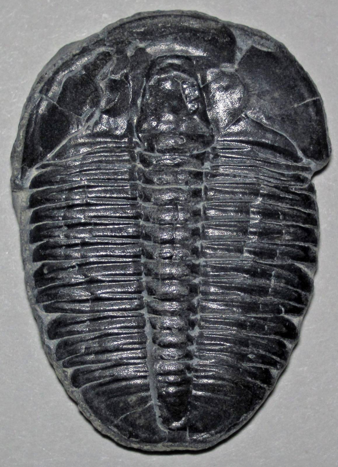
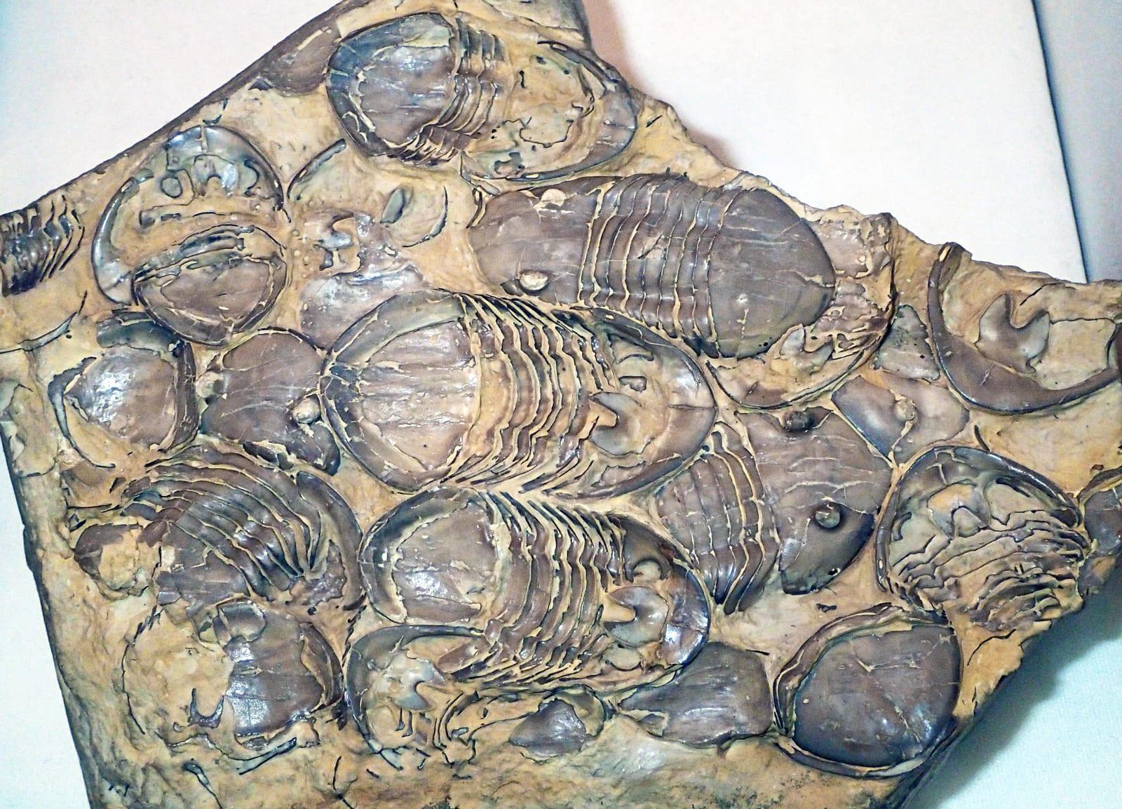
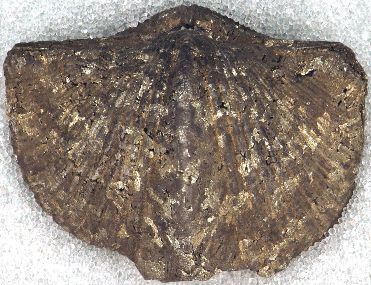
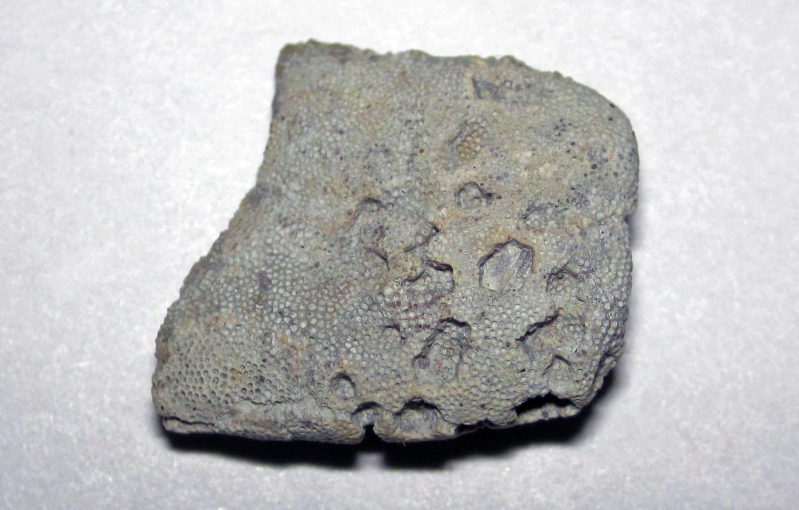
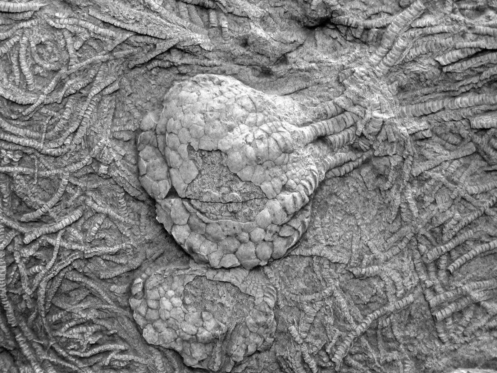
Hueston Woods is one of the few Ohio state parks that permits fossil collecting, and it is regarded as one of the best places in the world to find Upper Ordovician fossils. Stream cuts and shoreline exposures around Acton Lake produce brachiopods, bryozoans, crinoids, and trilobites weathered from the Cincinnatian bedrock. The most productive spots are the Four Mile Creek picnic area near the dam, the Covered Bridge area, and the stream cuts at the north end of the lake. Reported finds include fossil, trilobite, brachiopod, bryozoan, crinoid. Below: coordinates, access notes, nearby spots, and trip-planning links.
Plan your visit
Generally open to casual rockhounding
- County
- Preble County
- State
- Ohio
- Nearest road
- Four Mile Creek
- Postcode
- 45003
- Coordinates
- 39.58097, -84.74896
Coordinates are approximate. Confirm the exact ground in the RockHoundR app, where land overlays show which agency manages the area.
Land & collecting status
Generally open to casual rockhounding
Most public-tagged spots sit on BLM, U.S. Forest Service, or other federal land where reasonable hand collecting of common rocks and minerals is allowed. Confirm posted rules and active mining claims before you dig.
Access note: Free state park near College Corner. Surface collecting of loose material from creek beds and shorelines is permitted in the designated areas, but state parks otherwise restrict collecting, so check with a naturalist at the visitor center for current rules before collecting. No digging into banks.
Public-land rules vary by agency, season, and field office. The RockHoundR app pulls live BLM, USFS, NPS, and tribal overlays so you can see exactly which agency manages the ground at this spot.
Best time to visit Hueston Woods State Park
Comfortable months (45 to 90°F highs)
Best months: March to November. Typical highs run 85°F in midsummer and 36°F in midwinter, with winter lows near 18°F.
Climate normals: NOAA 1991-2020 monthlies, EATON station (12 mi away).
Geology at Hueston Woods State Park
This spot sits on Drakes, Whitewater and Liberty Formations, Undivided, mapped as shale and limestone that formed roughly 455 to 445 million years ago. Limestone like this typically forms in ancient seas, so marine fossils such as brachiopods, corals, and crinoids tend to weather out of fresh exposures.
- Mapped unit
- Drakes, Whitewater and Liberty Formations, Undivided
- Age
- 455–445 Ma (Late Ordovician)
- Rock types
- shale and limestone
- Elevation
- 940 ft
Geologic mapping via Macrostrat and the underlying state geological survey maps (CC BY 4.0). Bedrock at the surface can vary within a mapped unit.
Today's weather
Is today a good day to go?
The app shows live weather, recent rain, and a daily rockhounding score for Hueston Woods State Park.
Get the appSources & verification
Spot details combine the public RockHoundR location dataset, normalized mineral labels, agency land-status checks in the app, and community submissions. Coordinates are approximate until verified in the field.
- Ohio Geological Survey
- Ohio State Parks rules
- Wayne National Forest
- Community submissions reviewed against published agency rules
Found at Hueston Woods State Park
Each name opens all spots that produce that material; the encyclopedia link opens the full ID and field guide.
Nearby rockhounding spots
Other rockhounding spots within driving distance of Hueston Woods State Park.
- Trammel Fossil ParkHamilton County, Ohio · 28 mi awayFossil, Trilobite, Brachiopod
- MilfordHamilton County, Ohio · 37 mi awayDiamond
- Caesar Creek Lake SpillwayWarren County, Ohio · 37 mi awayFossil, Trilobite, Brachiopod
- Oakes Quarry ParkGreene County, Ohio · 43 mi awayFossil, Crinoid, Brachiopod
- Sinking SpringHighland County, Ohio · 81 mi awayHematite
- ChillicotheRoss County, Ohio · 90 mi awayPyrite
- ColumbusFranklin County, Ohio · 95 mi awayPyrite
- Delaware CountyDelaware County, Ohio · 99 mi awayPyrite
Across the state line from Hueston Woods State Park
Hueston Woods State Park is close enough to the Ohio border that the next-closest rockhounding spots are in a neighboring state. Worth knowing if you are already on the road.
- WeisburgDearborn County, Indiana · 29 mi awayTrilobite
- New PointDecatur County, Indiana · 36 mi awayChalcopyrite
- NorristownShelby County, Indiana · 57 mi awayFluorescent Calcite, Fluorite, Marcasite
- ElizabethtownBartholomew County, Indiana · 62 mi awayFluorescent Calcite, Fluorite, Marcasite
- Williams CreekMarion County, Indiana · 77 mi awayAmethyst, Quartz
- GratzOwen County, Kentucky · 77 mi awayBarite, Calcite, Fluorite
Hueston Woods State Park FAQ
Where is Hueston Woods State Park?+
What rocks and minerals can you find at Hueston Woods State Park?+
Is collecting allowed at Hueston Woods State Park?+
What tools should I bring to Hueston Woods State Park?+
When is the best time to visit Hueston Woods State Park?+
How do I get to Hueston Woods State Park?+
More rockhounding in Ohio
See all 42 Ohio spots →
Open Hueston Woods State Park on the map
Use the RockHoundR app for live land overlays, weather, geology, directions, and saved finds.


