Rockhounding in Ohio

Updated August 2026

38 mapped spots across 24 counties. Ohio produces a wide range of rockhounding-grade material: see the full list of spots, minerals, and access notes below.

Where is the best rockhounding in Ohio?

The best rockhounding in Ohio is at Conneaut in Ashtabula County (calcite), Coshocton County in Coshocton County (dark gray flint, black flint), and Lawrence County in Lawrence County (flint nodules). In total, 38 mapped collecting spots across 24 counties produce fossils, pyrite, and celestite, each listed below with coordinates and land access notes.

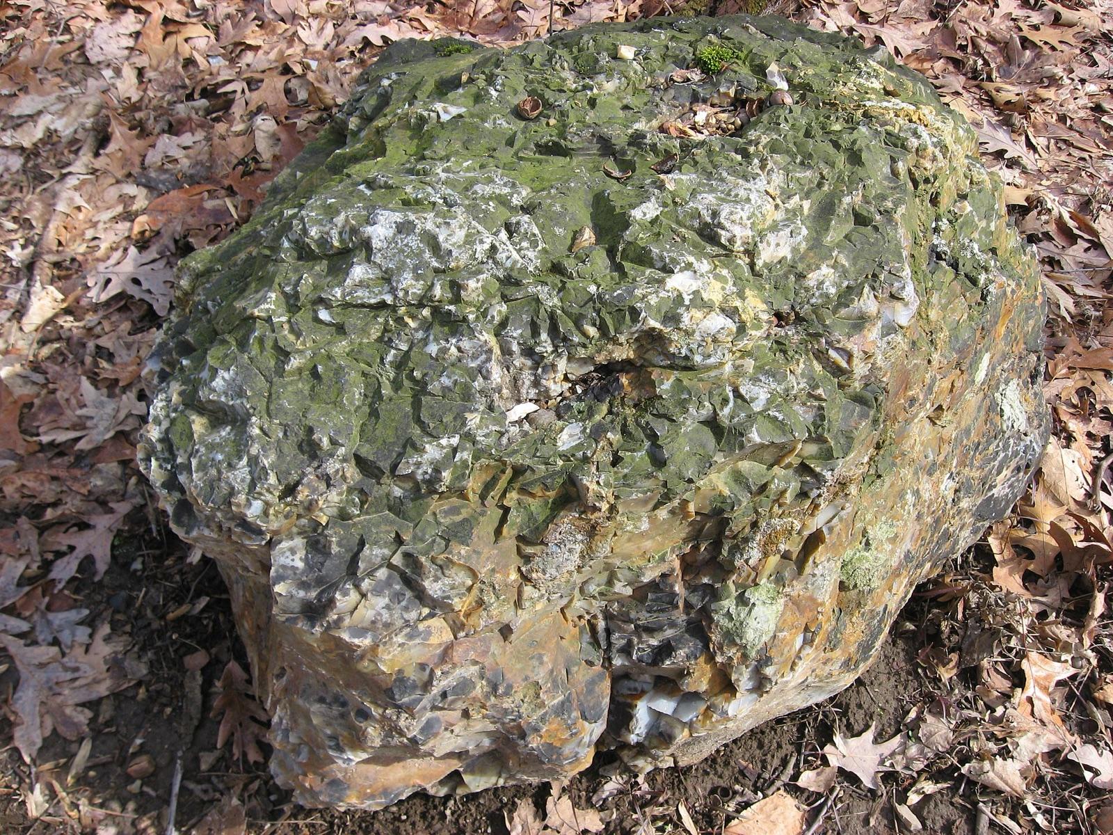
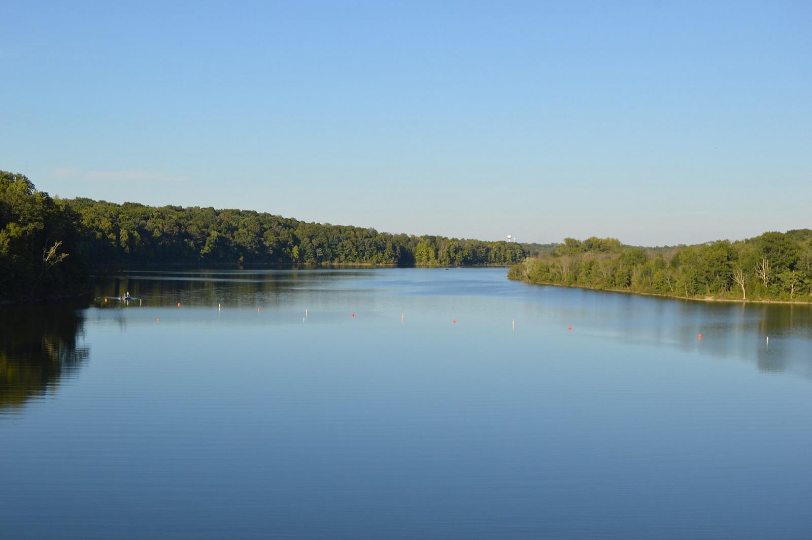
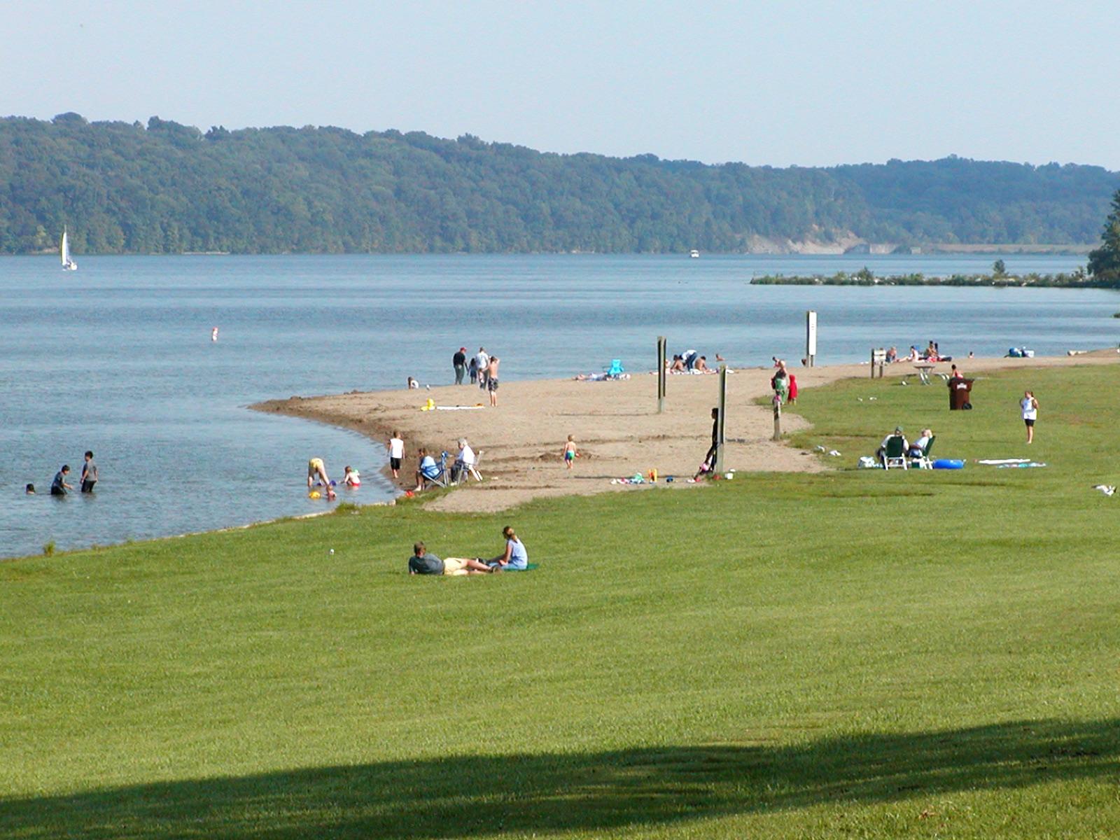
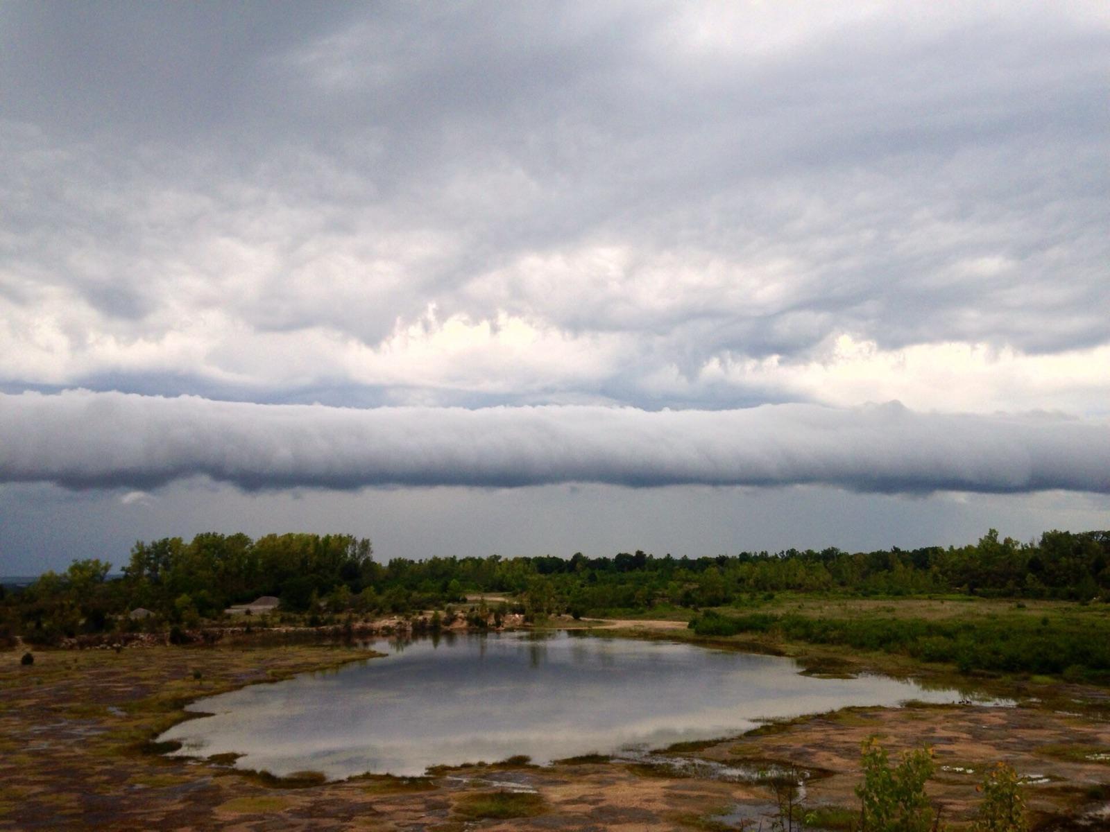
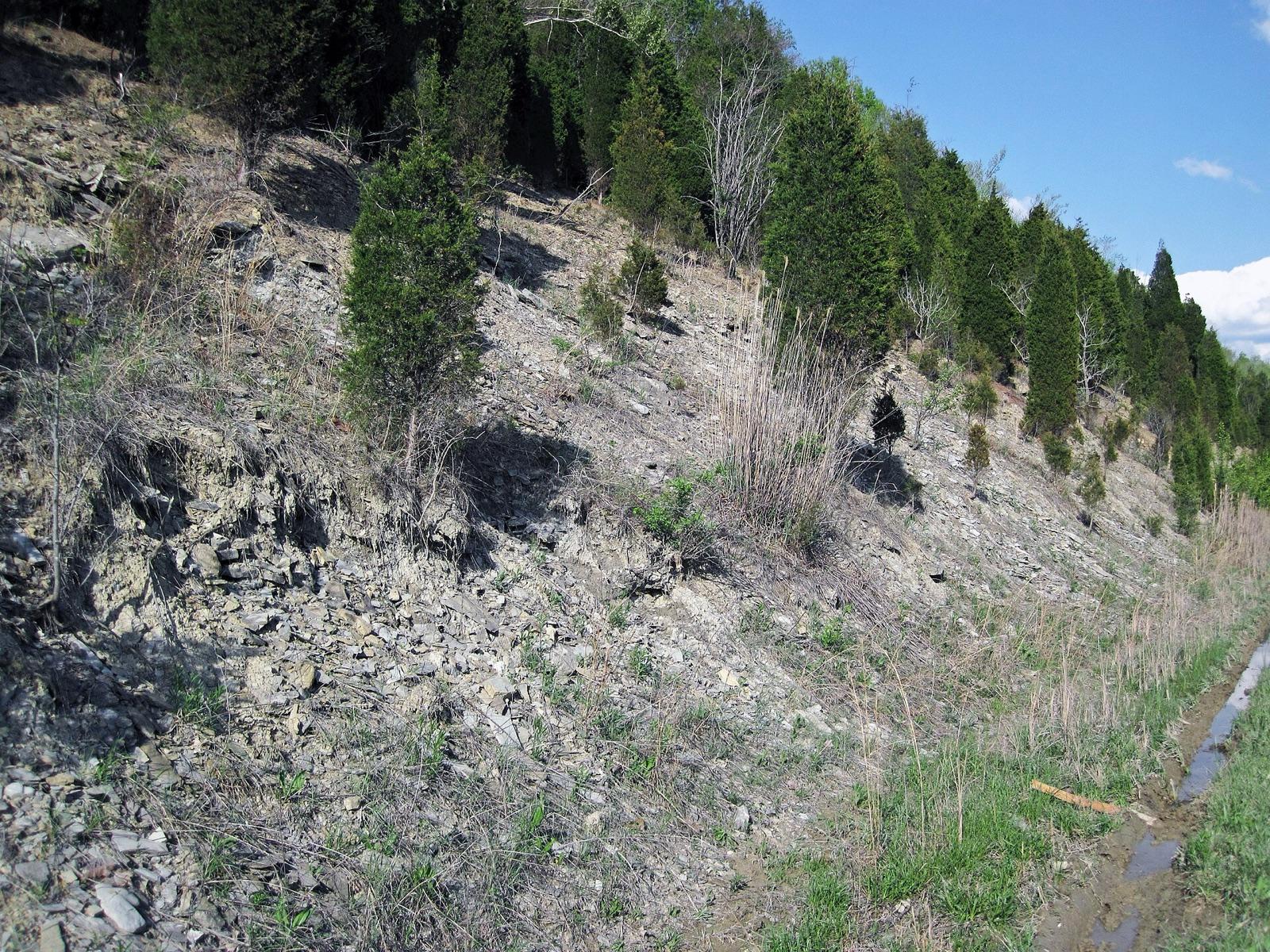
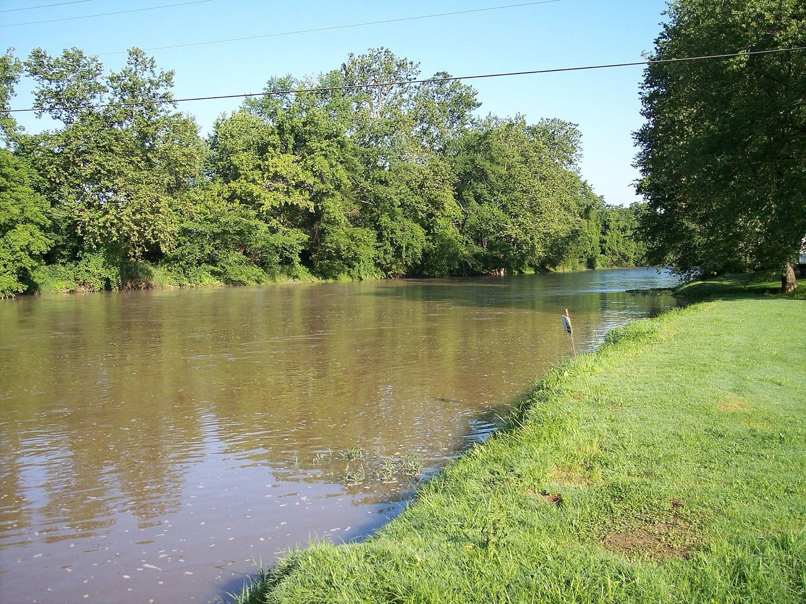
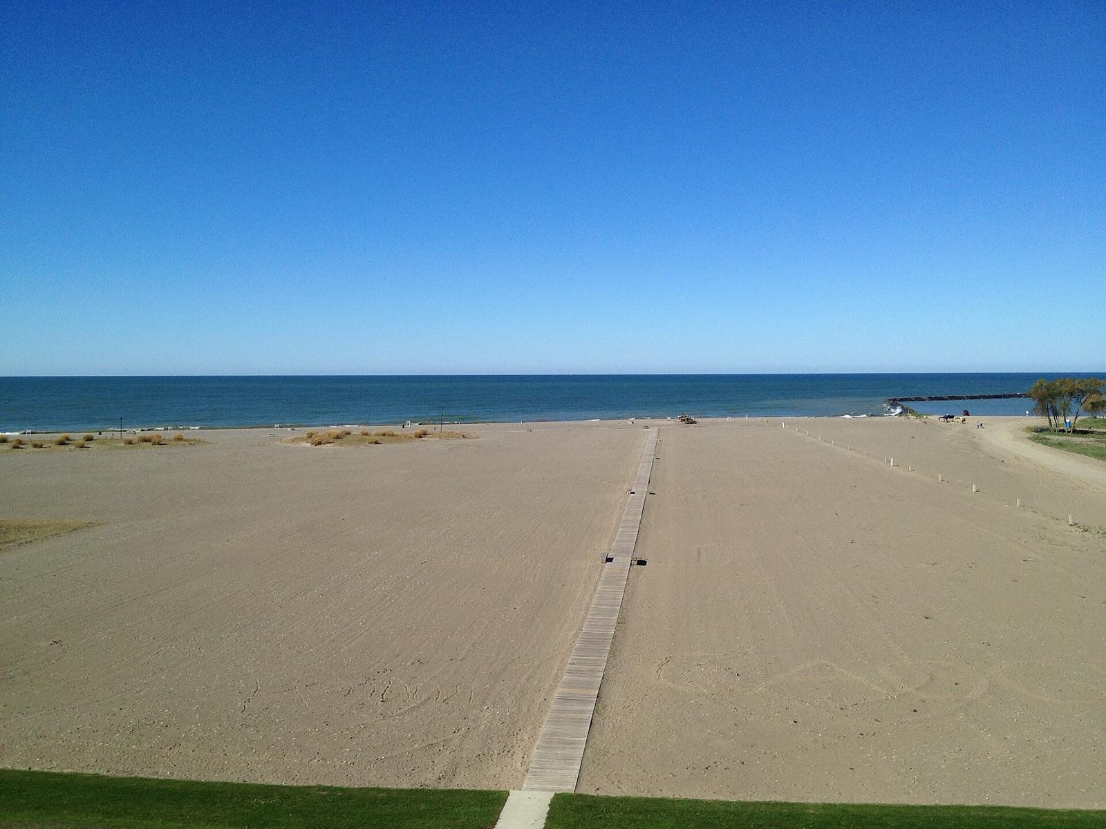
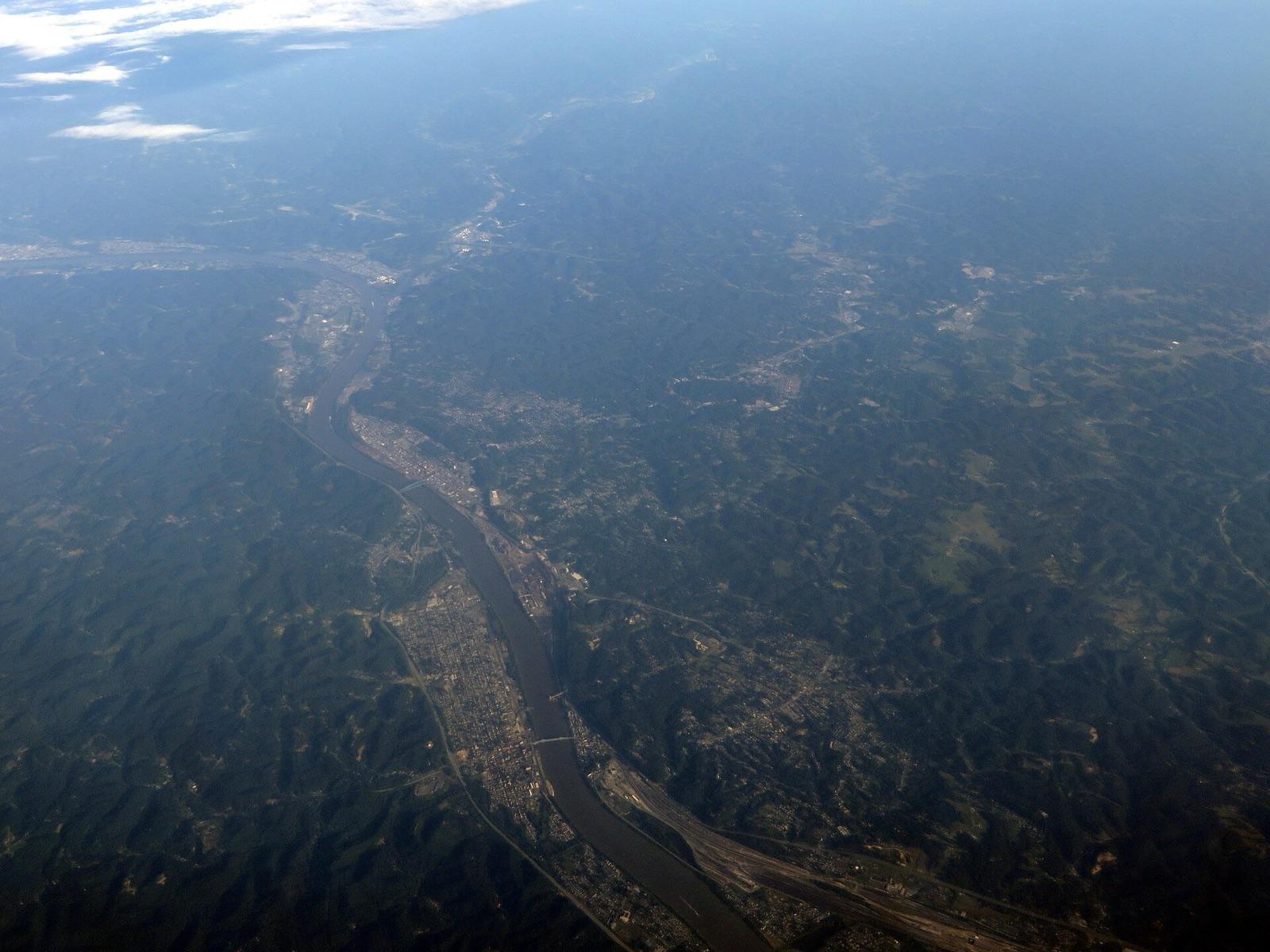
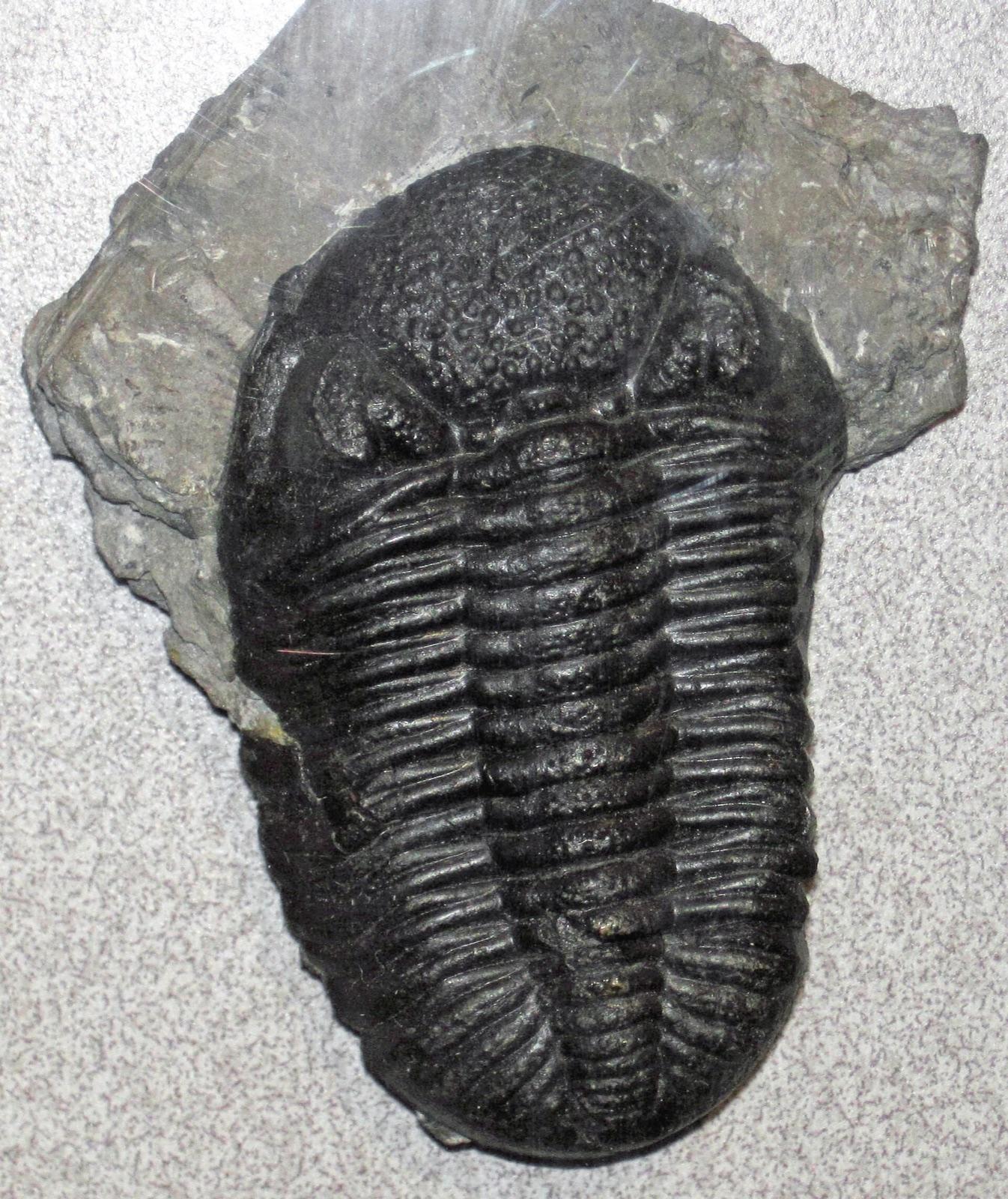
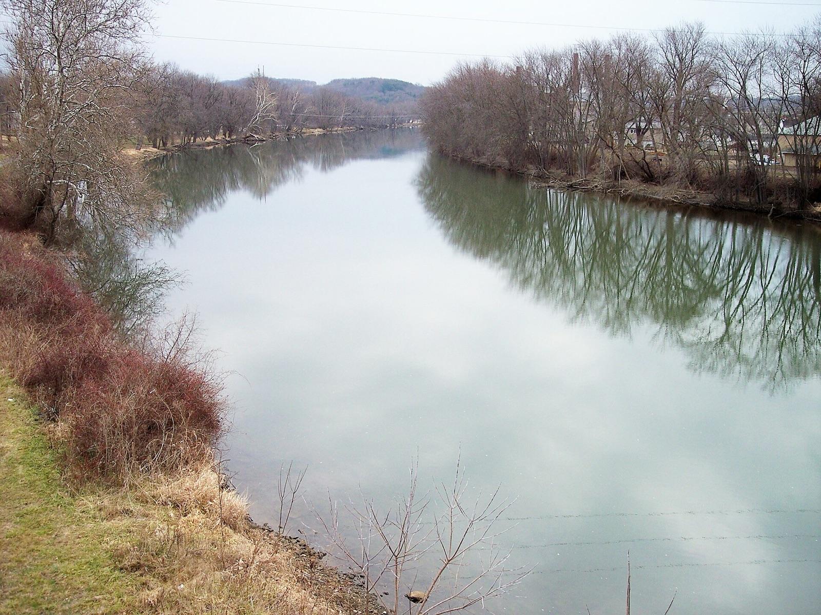
Ohio rockhounding photos

Representative spot and material photos from locations in this state, shown where verified public image records are available.

5 photos

Map showing 38 rockhounding spots in Ohio

Top minerals found in Ohio

Counts reflect how many spots in this list mention each mineral.

Rockhounding near major Ohio cities

Day-trip range. Each section lists the closest mapped rockhounding spots within about 150 miles of the city — most are inside a 2 to 3 hour drive.

Neighboring states with rockhounding

Geology rarely respects state borders. These states share mapped rockhounding country with Ohio — useful when Ohio is the start, not the whole trip. Each card links to the closest county across the line.

Rockhounding by county in Ohio

County pages are linked once we have at least 3 mapped spots for a focused guide with coordinates, mineral notes, and nearby spots.

Top picks in Ohio

10 best spots

Hand-picked standouts from the Ohio list, chosen for unusual mineralogy, documented public access, or both. Each card links to coordinates, access notes, and what to look for.

Every rockhounding spot in Ohio

Sorted by county. Tap coordinates to open in Google Maps, or open RockHoundR for the full map view with land overlays and weather.

SpotCountyMineralsCoordinatesAccess
ConneautI 90Ashtabula County41.8847, -80.6616Public
Conneaut Township ParkAshtabula County
    41.9633, -80.5633Check locally
    Walnut Beach ParkAshtabula County
      41.9003, -80.8080Check locally
      Coshocton CountyCounty Road 55Coshocton County40.2784, -81.9090Public
      Edgewater BeachCuyahoga County
        41.4880, -81.7414Check locally
        Euclid Beach ParkCuyahoga County
          41.5838, -81.5689Check locally
          Noble BeachCuyahoga County
            41.6148, -81.5277Check locally
            Perkins BeachCuyahoga County
              41.4892, -81.7396Public
              Sims BeachCuyahoga County
                41.6165, -81.5236Public
                Delaware CountySouth Section Line RoadDelaware County40.2914, -83.1305Public
                Main Street BeachErie County
                  41.4250, -82.3663Check locally
                  SanduskyEast Strub RoadErie County41.4170, -82.6803Public
                  ColumbusJackson PikeFranklin County39.9023, -83.0163Public
                  Oakes Quarry ParkEast Xenia DriveGreene County39.7901, -83.9821Public
                  MilfordGlendale Milford RoadHamilton County39.1850, -84.2885Public
                  Trammel Fossil ParkTramway DriveHamilton County39.2806, -84.4028Public
                  Sinking SpringWater StreetHighland County39.0727, -83.3868Public
                  Benton TownshipFairview RoadHocking County39.4064, -82.5238Public
                  Holmes CountyEast Jackson StreetHolmes County40.5542, -81.9173Public
                  Lake Erie BluffsLake County
                    41.7884, -81.1746Public
                    Lawrence CountyMain LoopLawrence County38.6150, -82.5376Public
                    Flint RidgeFlint Ridge Road SoutheastLicking County39.9897, -82.2652Public
                    Licking & Muskingum CountiesSummit Road SoutheastLicking County40.0504, -82.3879Public
                    Medusa Quarry in SylvaniaBrint RoadLucas County41.7005, -83.7474Public
                    WhitehouseNona France Park DriveLucas County41.5122, -83.8003Public
                    Muskingum CountyI 70Muskingum County39.9595, -81.9348Public
                    Clay Center limestone quarryNorth Bolander RoadOttawa County41.5744, -83.3635Public
                    GenoaMain StreetOttawa County41.5080, -83.3544Public
                    Green IslandOld Lighthouse WalkwayOttawa County41.6455, -82.8653Public
                    Perry CountyPerry County39.7326, -82.1505Public
                    Hueston Woods State ParkFour Mile CreekPreble County39.5810, -84.7490Public
                    ChillicotheState Route 28Ross County39.3511, -83.0967Public
                    Maple Grove QuarryCr42Seneca County41.2256, -83.2137Public
                    Tuscarawas CountyOverlookTuscarawas County40.5502, -81.4059Public
                    Tuscarawas River near ZoarOhio & Erie Canal Towpath Trail / Zoar Valley TrailTuscarawas County40.5972, -81.4129Public
                    Caesar Creek Lake SpillwayNorth Clarksville RoadWarren County39.4878, -84.0640Public
                    Bowling GreenSouth Dixie HighwayWood County41.3160, -83.6482Public
                    Lime CityBroadway StreetWood County41.5356, -83.5646Public

                    Ohio rockhounding FAQ

                    Is rockhounding legal in Ohio?+
                    Casual hand collecting is allowed on most BLM and U.S. Forest Service land in Ohio, with daily and annual limits set by the managing field office. National parks, most state parks, and tribal lands are off-limits. Always confirm rules with the local agency before a trip.
                    What rocks and minerals can you find in Ohio?+
                    Ohio spots in this list most commonly produce Fossils, Pyrite, Celestite, Calcite, Flint. The full list across all spots is broader.
                    How many rockhounding sites are in Ohio?+
                    RockHoundR currently lists 38 rockhounding spots in Ohio across 24 counties. Many more exist; the app keeps your private finds saved alongside the public ones.
                    Can I take rocks home from Ohio public land?+
                    On most BLM and Forest Service land, recreational hand collecting of common rocks and minerals is allowed in reasonable amounts. Vertebrate fossils, archaeological items, and posted mining-claim minerals are not. Check the field office for current limits.

                    Map every Ohio spot in the app

                    Open the RockHoundR app to see Ohio on a real map with public land overlays, weather, geology, and your saved finds.

                    Download on the App StoreGet it on Google Play