
Fossil Hunting near Huntsville, AL
7 of the mapped rockhounding spots within 150 miles of Huntsville report fossil. The closest is Bankhead National Forest, about 56 miles out (1 hr 10 min drive).
Fossil collecting spots cluster around exposed sedimentary rock: road cuts, creek banks, quarries, and badlands where erosion keeps bringing fresh material to the surface.
Every fossil spot within 150 miles of Huntsville
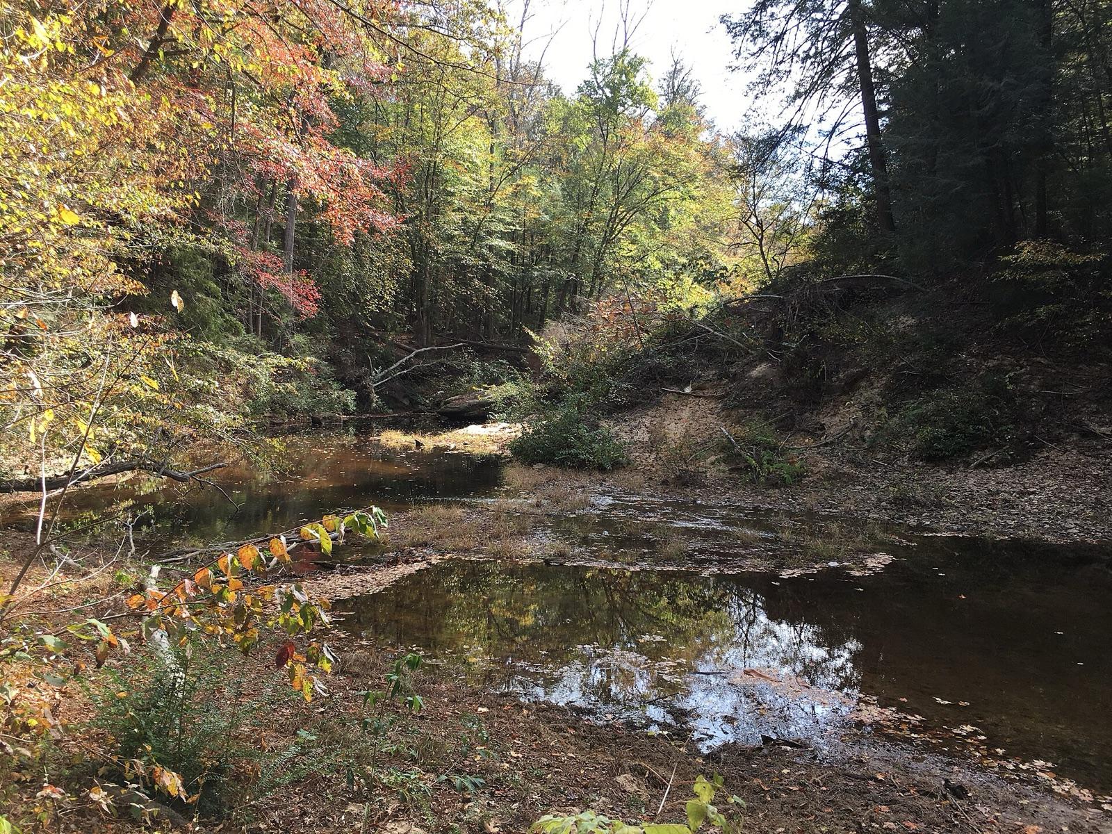 Best spotBankhead National ForestWinston County, Alabama · 56 mi awayPublic access · Quartz, Chert, Fossil +1
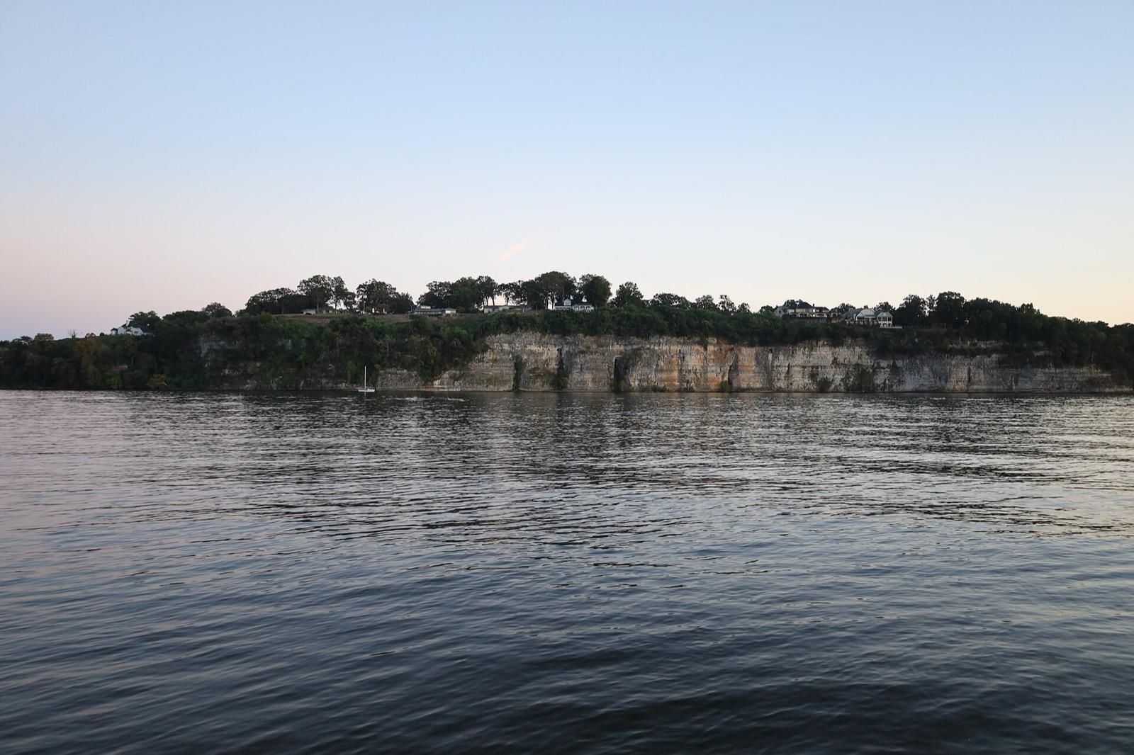 Best spotTennessee River (Muscle Shoals)Colbert County, Alabama · 61 mi awayPublic access · Chert, Fossil, Chalcedony +1
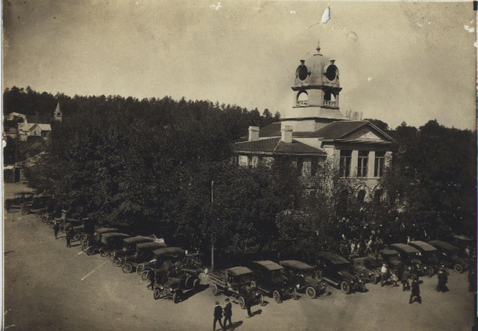 Best spotWayne CountyWayne County, Tennessee · 78 mi awayPublic access · Chert, Agatized Fossil, Flint +1
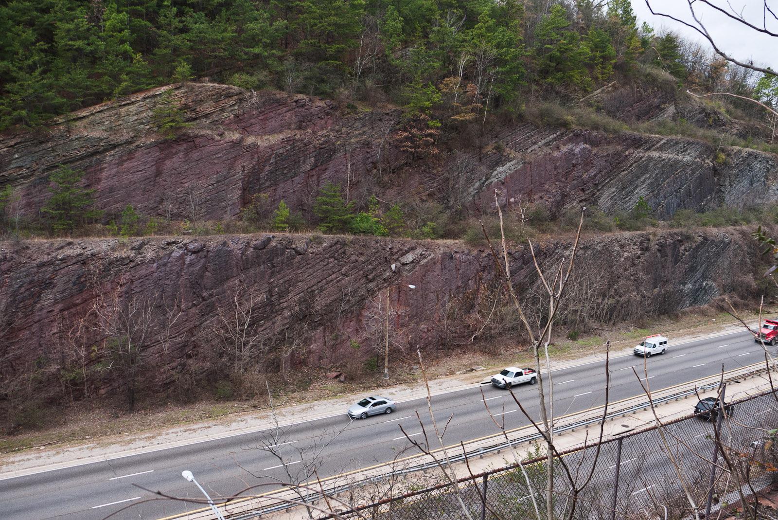 Best spotRed Mountain (Birmingham)Jefferson County, Alabama · 89 mi awayPublic access · Hematite, Fossil, Chert
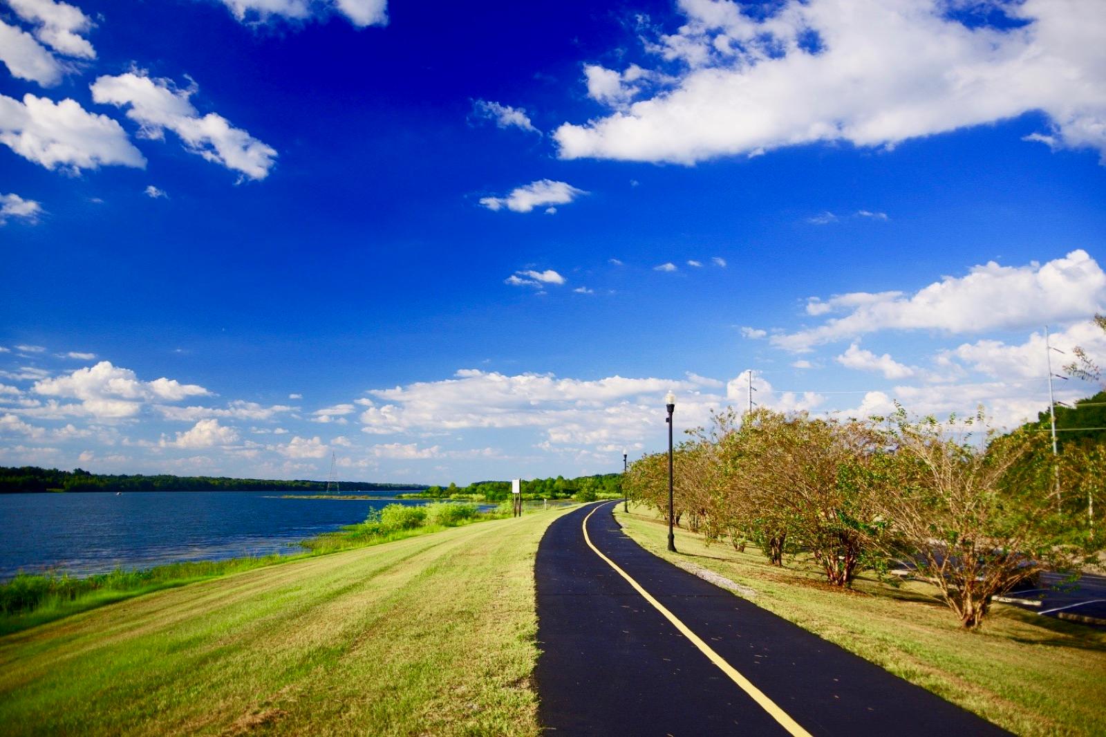 Best spotTombigbee RiverItawamba County, Mississippi · 110 mi awayPublic access · Shark Tooth
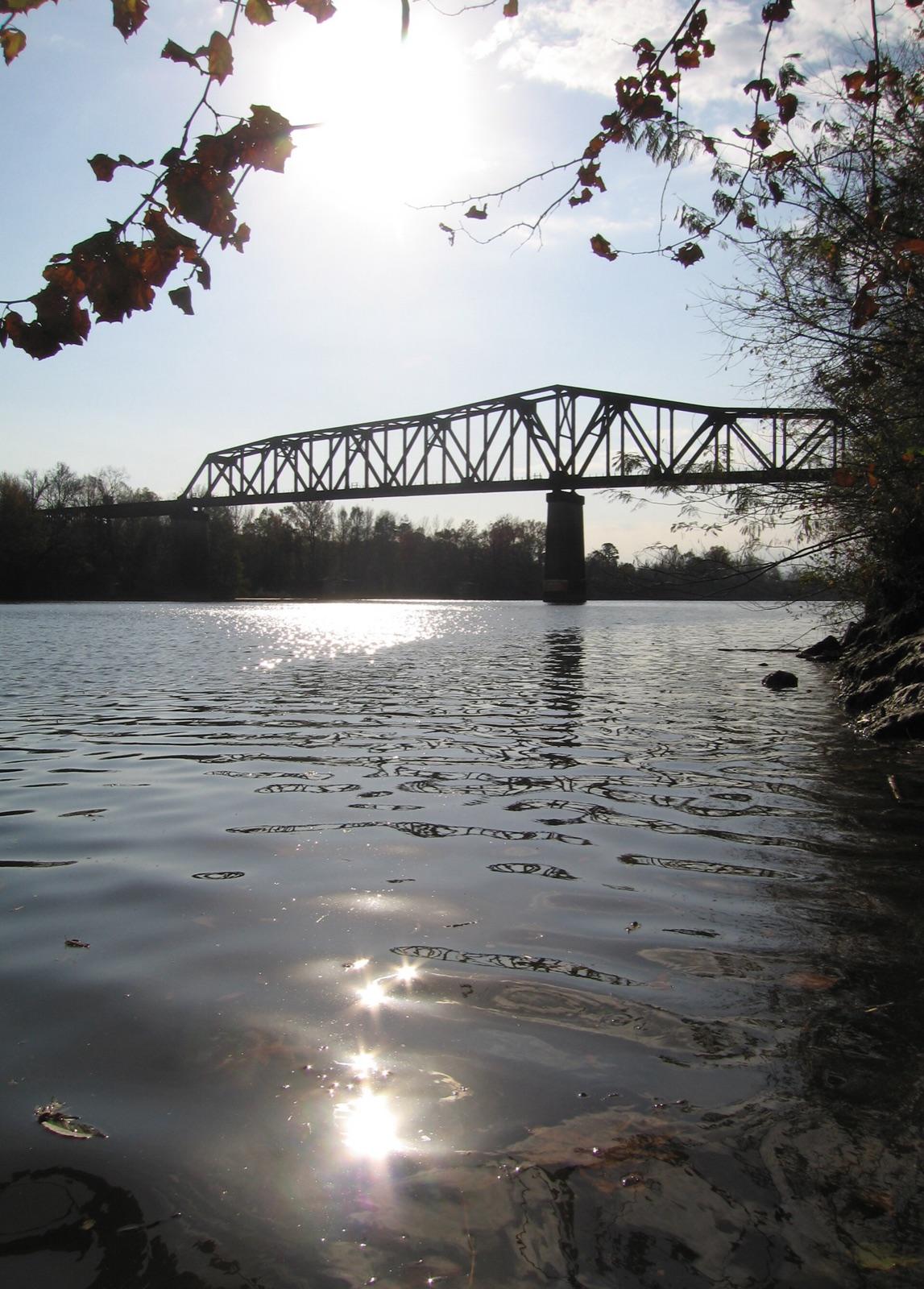 Best spotBlack Warrior River Mines & PitsTuscaloosa County, Alabama · 111 mi awayPublic access · Agate, Chalcedony, Fossil +4
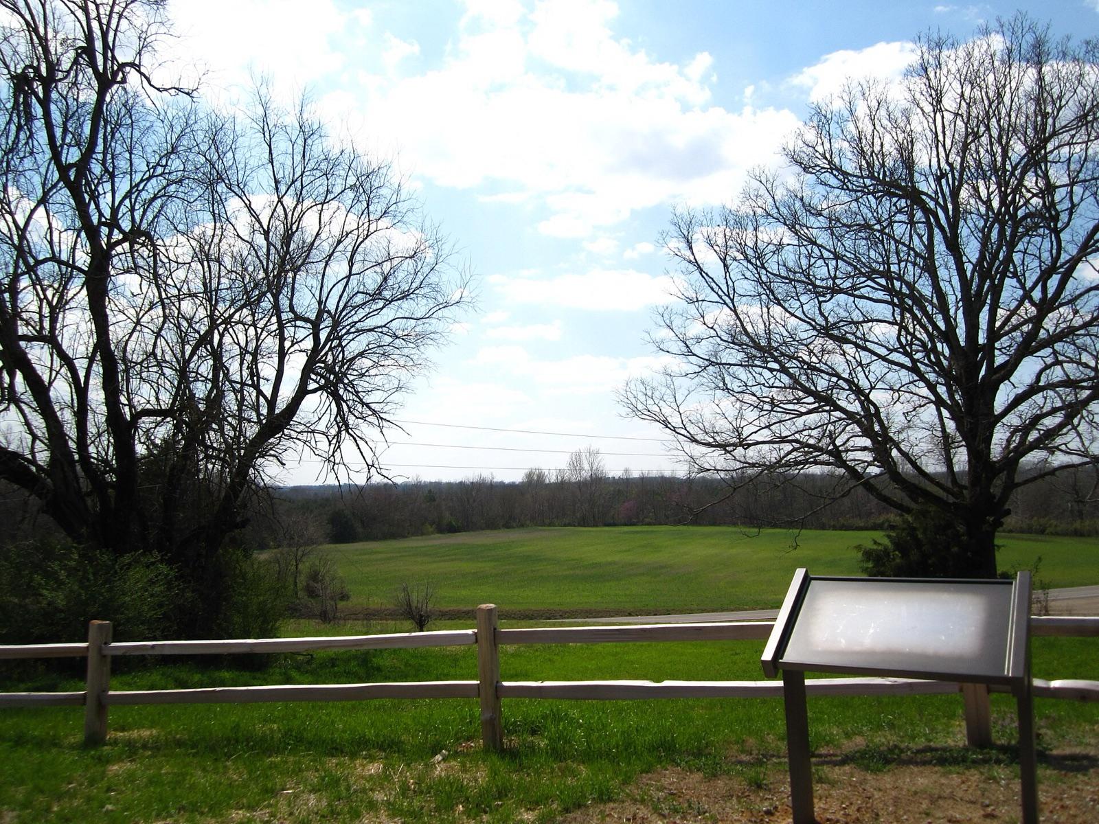 Best spotTwentymile CreekPrentiss County, Mississippi · 117 mi awayPublic access · Fossil, Petrified Wood
Types of fossils reported near Huntsville
Counts reflect how many spots in this radius mention each variety.
- Fossil5
- Agatized Fossil1
- Shark Tooth1
Fossils near Huntsville FAQ
Where can I find fossils near Huntsville?+
7 mapped spots within about 150 miles of Huntsville report fossil. The closest is Bankhead National Forest in Winston County, roughly 56 miles away (1 hr 10 min drive). The full list with coordinates is on this page.
Can I collect fossils on public land near Huntsville?+
7 of the 7 spots here sit on land mapped as publicly accessible. Casual hand collecting of common rocks and minerals is allowed on most BLM and Forest Service land with limits set by the local field office; national parks and most state parks are closed to collecting. Confirm current rules with the managing agency before a trip.
Is it legal to keep fossils I find?+
On federal land, common invertebrate and plant fossils (shells, corals, trilobites, leaf prints) may be collected casually for personal use. Vertebrate fossils (bone, teeth, anything with a backbone) are protected on federal land and need a research permit. Private land follows the landowner's permission. When in doubt, photograph it, note the location, and ask the managing agency.
How far from Huntsville do I need to drive?+
The nearest fossil spot is about 56 miles out, and the farthest on this list is 117 miles. Most fall inside a normal weekend day-trip radius.
Keep exploring from Huntsville
Fossil Hunting near other cities
Hunt fossils around Huntsville with the map in your pocket
RockHoundR shows these spots on an offline map with public land overlays, geology layers, weather, and a log for your finds.

