
Bankhead National Forest: Fossil Hunting in Winston County, Alabama
- Minerals reported
- 4
- Elevation
- 760 ft
- Best months
- Year-round
The William B. Bankhead National Forest spreads across about 181,000 acres of the Cumberland Plateau in northwest Alabama, where the Sipsey Fork cuts sandstone gorges that expose fresh rock. Collectors find small clear quartz points in sandstone vugs, chert, iron concretions, and Pennsylvanian plant fossils such as fern impressions and Calamites stem casts, along with crinoid columnals in limestone cobbles. Casual personal collecting is allowed on the forest under Forest Service rules, which makes it one of the few large blocks of legal public collecting ground in the state. Reported finds include quartz, chert, fossil, iron concretion. Below: coordinates, access notes, nearby spots, and trip-planning links.
Plan your visit
Generally open to casual rockhounding
- County
- Winston County
- State
- Alabama
- Coordinates
- 34.28000, -87.40000
Coordinates are approximate. Confirm the exact ground in the RockHoundR app, where land overlays show which agency manages the area.
Land & collecting status
Generally open to casual rockhounding
Most public-tagged spots sit on BLM, U.S. Forest Service, or other federal land where reasonable hand collecting of common rocks and minerals is allowed. Confirm posted rules and active mining claims before you dig.
Access note: Casual surface collecting of reasonable amounts of rocks, minerals, and invertebrate fossils is allowed for personal, noncommercial use on the William B. Bankhead National Forest under Forest Service rules (36 CFR 228.62): no digging, no mechanical equipment, and no disturbance of archaeological sites. The Sipsey Wilderness has stricter limits, so collecting is better done outside it; check with the Bankhead Ranger District. Take nothing from rock shelters or cultural sites.
Public-land rules vary by agency, season, and field office. The RockHoundR app pulls live BLM, USFS, NPS, and tribal overlays so you can see exactly which agency manages the ground at this spot.
Best time to visit Bankhead National Forest
Comfortable months (45 to 90°F highs)
Conditions here are workable year-round, with typical highs from 51°F in winter to 88°F in summer.
Climate normals: NOAA 1991-2020 monthlies, ADDISON station (14 mi away).
Geology at Bankhead National Forest
This spot sits on Pottsville Formation (lower part), mapped as sandstone that formed roughly 360 to 300 million years ago. Sedimentary layers like these are where fossils are typically preserved, and fresh exposures after rain or in active cuts tend to produce best.
- Mapped unit
- Pottsville Formation (lower part)
- Age
- 360–300 Ma (Carboniferous to Pennsylvanian)
- Rock types
- sandstone
- Elevation
- 760 ft
Geologic mapping via Macrostrat and the underlying state geological survey maps (CC BY 4.0). Bedrock at the surface can vary within a mapped unit.
Today's weather
Is today a good day to go?
The app shows live weather, recent rain, and a daily rockhounding score for Bankhead National Forest.
Get the appSources & verification
Spot details combine the public RockHoundR location dataset, normalized mineral labels, agency land-status checks in the app, and community submissions. Coordinates are approximate until verified in the field.
- Geological Survey of Alabama
- National Forests in Alabama
- Alabama State Parks rules
- Community submissions reviewed against published agency rules
Found at Bankhead National Forest
Each name opens all spots that produce that material; the encyclopedia link opens the full ID and field guide.
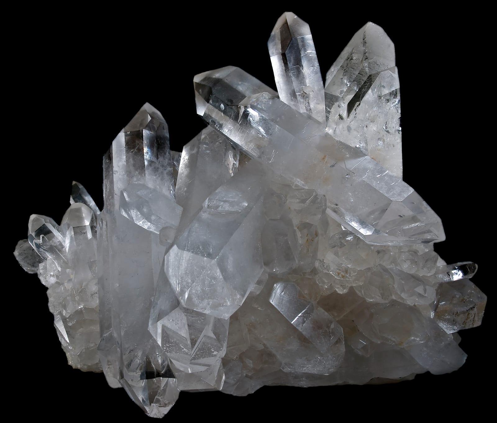
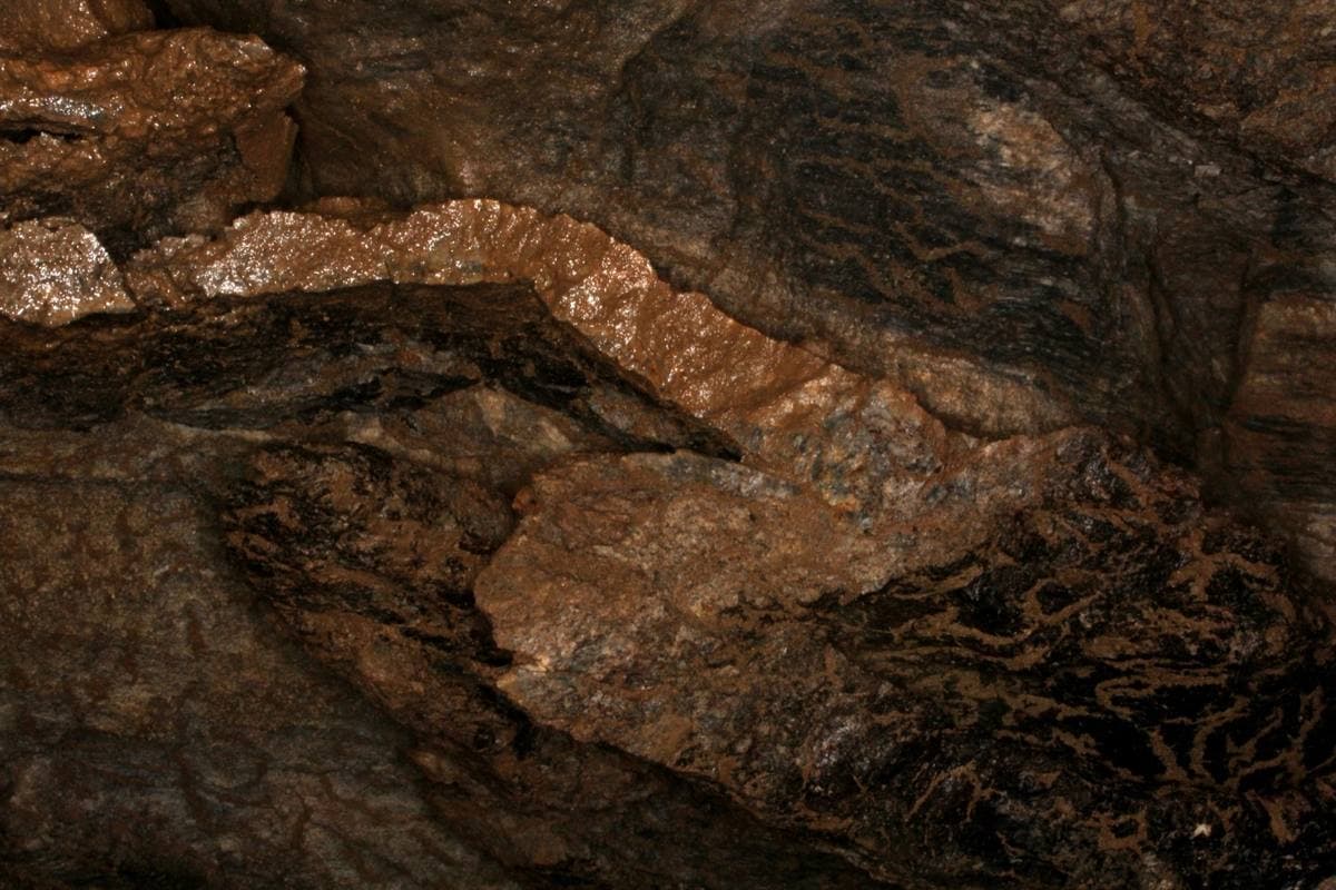
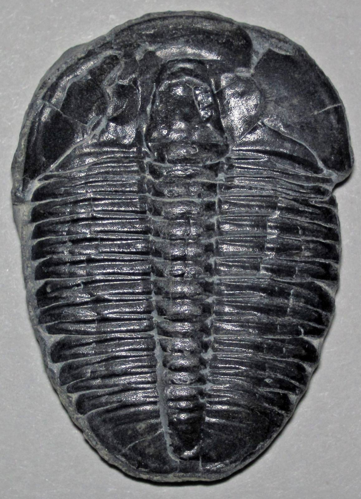
Nearby rockhounding spots
Other rockhounding spots within driving distance of Bankhead National Forest.
- BrilliantMarion County, Alabama · 27 mi awayPetrified Wood, Quartz
- Tennessee River (Muscle Shoals)Colbert County, Alabama · 36 mi awayChert, Fossil, Chalcedony
- Shirley MineBlount County, Alabama · 52 mi awayGarnet, Kyanite, Magnetite
- Red Mountain (Birmingham)Jefferson County, Alabama · 65 mi awayHematite, Fossil, Chert
- Black Warrior River Mines & PitsTuscaloosa County, Alabama · 69 mi awayAgate, Chalcedony, Fossil
- Brookwood Strip MinesTuscaloosa County, Alabama · 70 mi awayHematite, Quartz, Siderite
- Tuscaloosa Rockhounding Area (Petrified Wood)Tuscaloosa County, Alabama · 73 mi awayQuartz, Petrified Wood
- Tuscaloosa Rockhounding AreaTuscaloosa County, Alabama · 83 mi awaySilicified Wood
Across the state line from Bankhead National Forest
Bankhead National Forest is close enough to the Alabama border that the next-closest rockhounding spots are in a neighboring state. Worth knowing if you are already on the road.
- PadenTishomingo County, Mississippi · 56 mi awayAmber
- Tombigbee RiverItawamba County, Mississippi · 58 mi awayShark Tooth
- LukaTishomingo County, Mississippi · 58 mi awayRed Ocher, Yellow Ocher
- LawrenceburgLawrence County, Tennessee · 66 mi awayChert, Chalcedony, Geode
- Twentymile CreekPrentiss County, Mississippi · 73 mi awayFossil, Petrified Wood
- Wayne CountyWayne County, Tennessee · 75 mi awayChert, Agatized Fossil, Flint
Bankhead National Forest FAQ
Where is Bankhead National Forest?+
What rocks and minerals can you find at Bankhead National Forest?+
Is collecting allowed at Bankhead National Forest?+
What tools should I bring to Bankhead National Forest?+
When is the best time to visit Bankhead National Forest?+
How do I get to Bankhead National Forest?+
More rockhounding in Alabama
See all 30 Alabama spots →
Open Bankhead National Forest on the map
Use the RockHoundR app for live land overlays, weather, geology, directions, and saved finds.


