
Rockhounding in Iron County, Wisconsin
10 mapped rockhounding spots in Iron County. Most commonly produces kyanite, quartz, staurolite, almandite.
Every rockhounding spot in Iron County
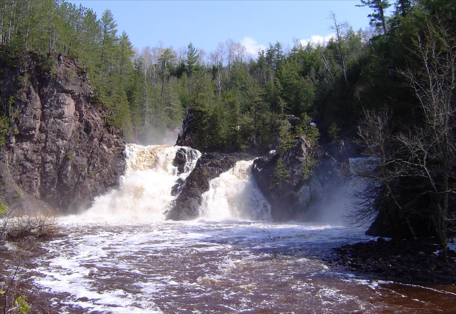 Best spotNear Saxon FallsIron County, WisconsinPublic access · Calcite, Chlorite, Epidote +3
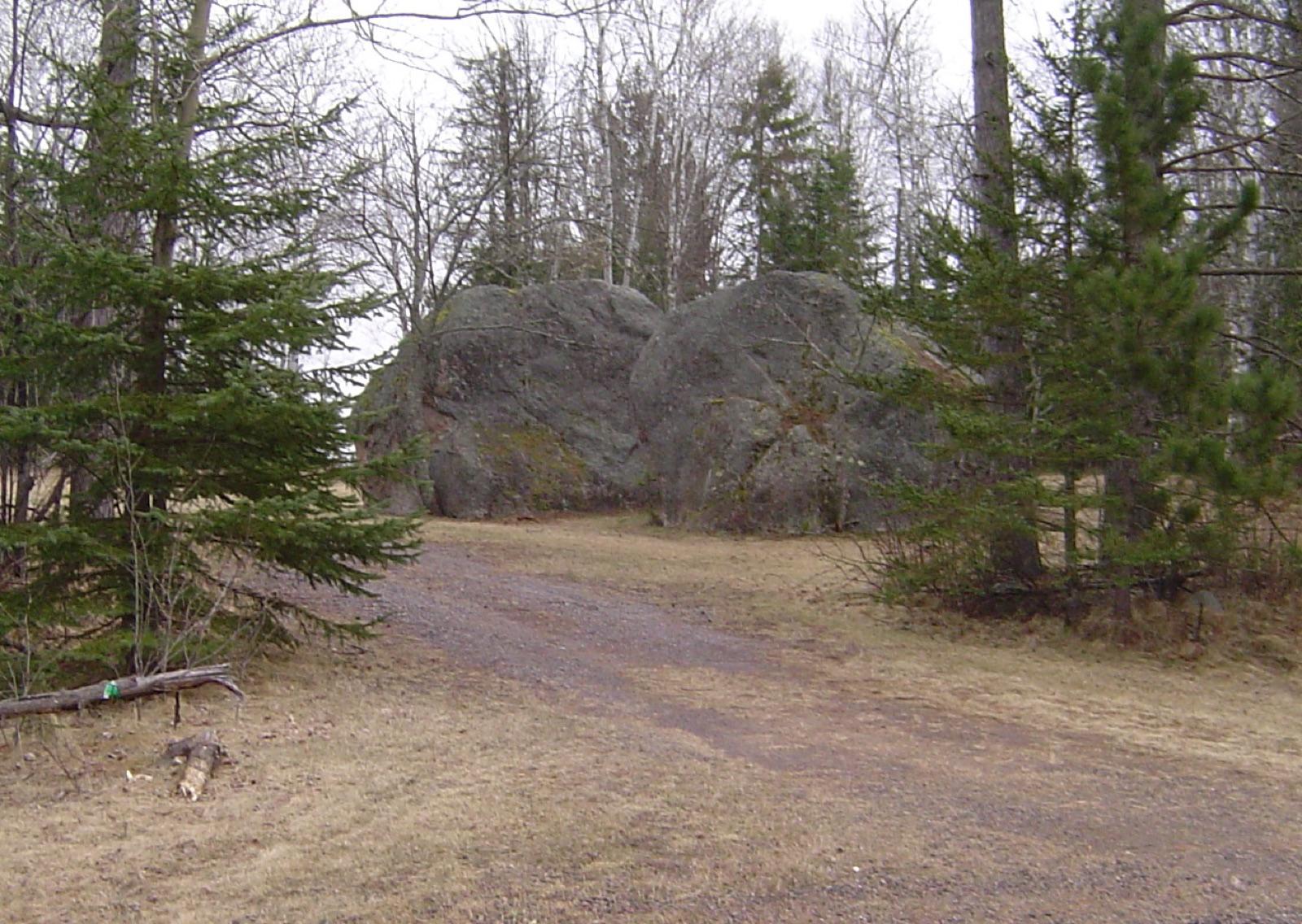 Best spotPowell KyaniteIron County, WisconsinPublic access · Kyanite, Staurolite, Almandine +2
 Best spotSaxon Harbor County ParkIron County, WisconsinPublic access · Lake Superior Agate, Jasper, Copper
 Montreal MineIron County, WisconsinPublic access · Actinolite, Barite, Selenite +15
- General AreaIron County, WisconsinPublic access · Almandite, Biotite, Kyanite +5
- Sandy Beach & Mud LakesIron County, WisconsinPublic access · Almandite, Kyanite, Staurolite
- Iron CountyIron County, WisconsinPublic access · Agate, Jasper
- Iron CountyIron County, WisconsinPublic access · Copper
- MercerIron County, WisconsinPublic access · Kyanite
- Robinson LandingIron County, WisconsinPublic access · Kyanite
Iron County rockhounding photos
Representative spot and material photos from this county, shown where verified public image records are available.
Minerals reported in Iron County
Standouts in Iron County
Hand-picked spots in Iron County, chosen for unusual mineralogy or documented public access. Each card opens the full coordinates and access notes.
- Top pick
Near Saxon Falls
Public accessIron County
The Montreal River gorge below Saxon Falls exposes Keweenawan basalt whose gas cavities are lined with zeolite minerals.
Calcite, Chlorite, Epidote, Laumontite
- No photoTop pick
Saxon Harbor County Park
Public accessIron County
Saxon Harbor is Wisconsin's only county park on Lake Superior, set on Oronto Bay near the Michigan border.
Lake Superior Agate, Jasper, Copper
- Top pick
Powell Kyanite
Public accessIron County
The schist exposures near Powell, on the Manitowish Range, form one of Wisconsin's few good kyanite and staurolite localities.
Kyanite, Staurolite, Almandine, Biotite
Neighboring counties in Wisconsin
Adjacent rockhounding counties, ranked by how close their centroids sit to Iron County. A natural extension if Iron County is already on your trip plan.
- Ashland County~26 mi3 spotsTop: Jasper, Agate, Basalt
- Sawyer County~50 mi3 spotsTop: Kyanite, Agate, Jasper
- Bayfield County~65 mi4 spotsTop: Agate, Banded Iron Formation, Granite
- Douglas County~77 mi4 spotsTop: Copper, Lake Superior Agate, Agate
- Marathon County~97 mi3 spotsTop: Epidote, Moonstone, Quartz
- Dunn County~130 mi3 spotsTop: Lake Superior Agate
Across the state line from Iron County
Rockhounding counties in neighboring states within driving range. Geology rarely respects state borders. These are often the closest mapped spots you can reach without going deeper into Wisconsin.
- Gogebic County~24 miMichigan · 3 spotsTop: Granite, Agate, Banded Iron Formation
- Ontonagon County~52 miMichigan · 5 spotsTop: Keweenaw Agate, Chalcedony, Charlevoix Stone
- Lake County~85 miMinnesota · 5 spotsTop: Lake Superior Agate, Thomsonite, Zeolite
- Houghton County~98 miMichigan · 5 spotsTop: Lake Superior Agate, Chert, Copper
Iron County FAQ
Where can I rockhound in Iron County, Wisconsin?+
What rocks and minerals are common in Iron County?+
Are these Iron County rockhounding spots on public land?+
Plan a Iron County rockhounding trip
Open RockHoundR to see these spots on the map alongside land overlays, weather, geology, and your saved finds.

