
Ducktown: Azurite & Chalcopyrite Rockhounding in Polk County, Tennessee
- Minerals reported
- 12
- Elevation
- 1,640 ft
- Best months
- Year-round
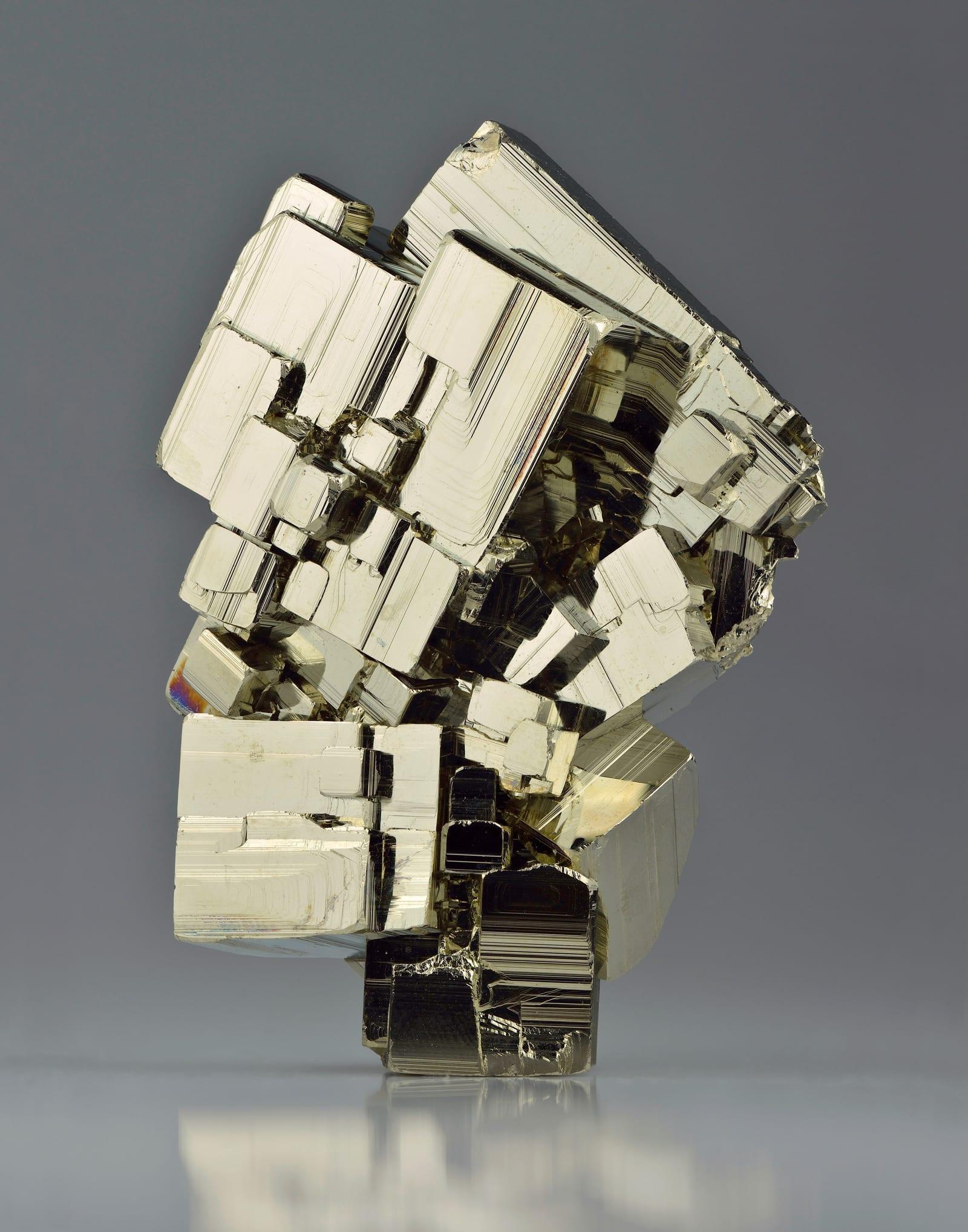
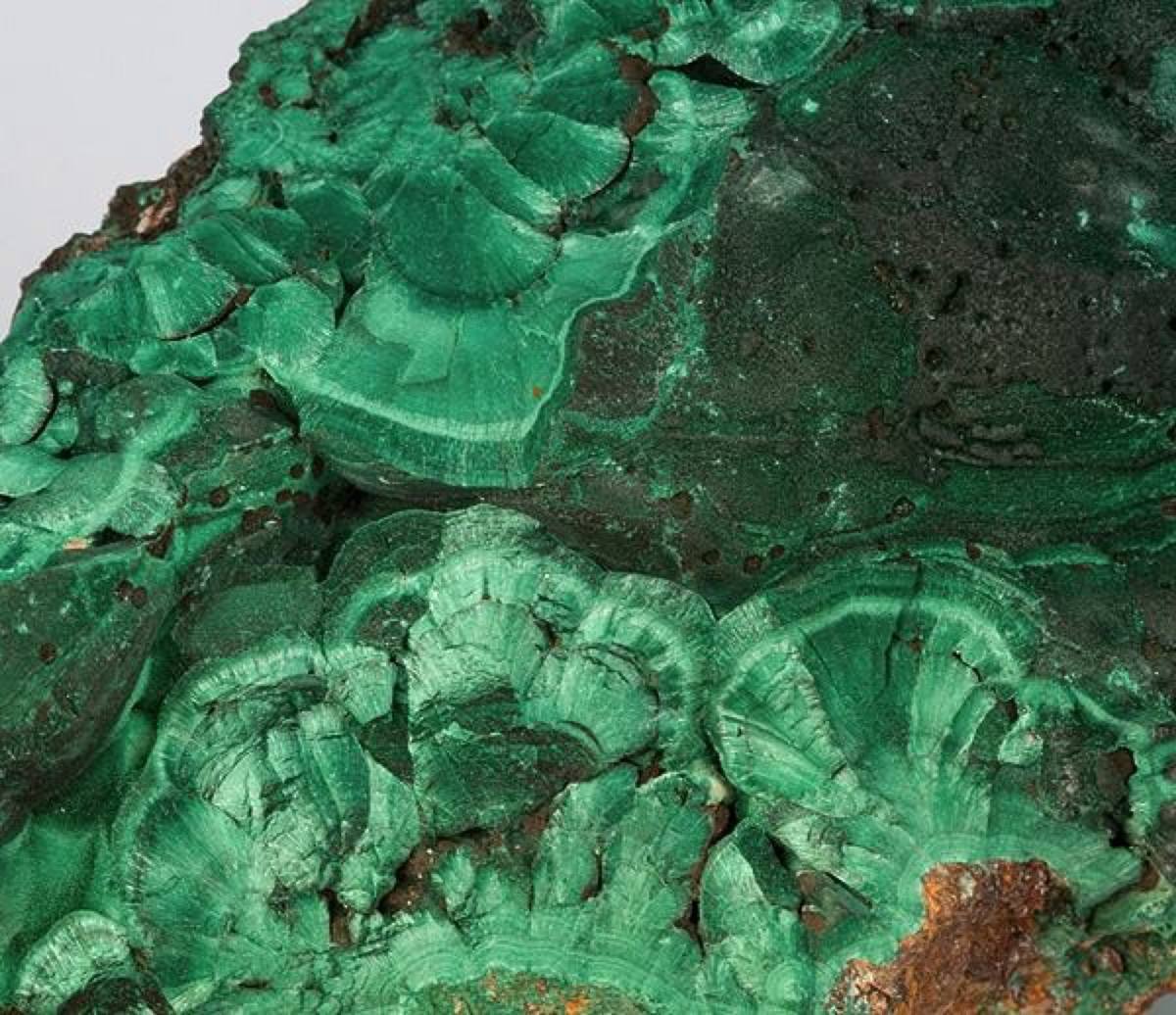
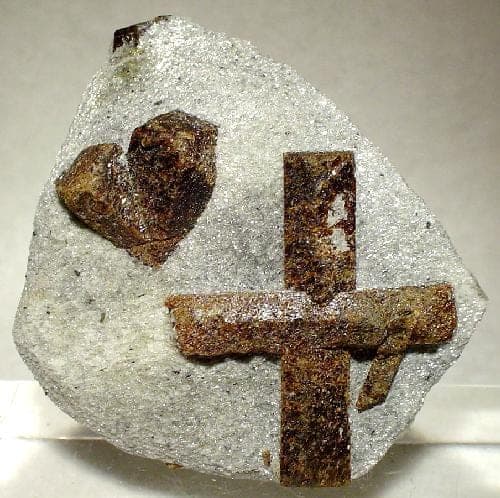
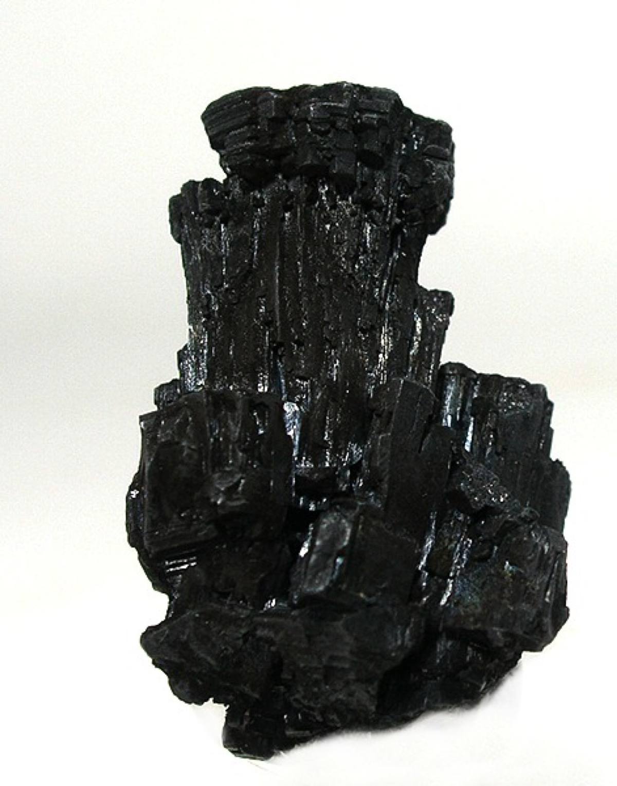
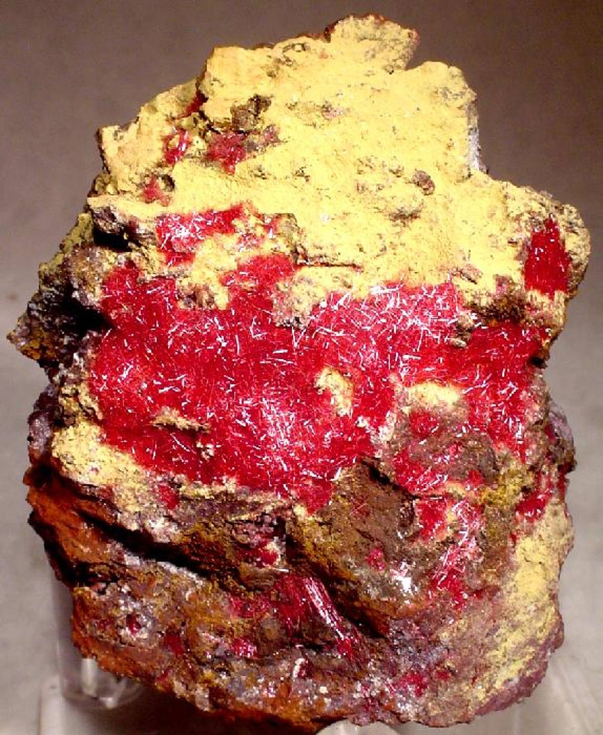
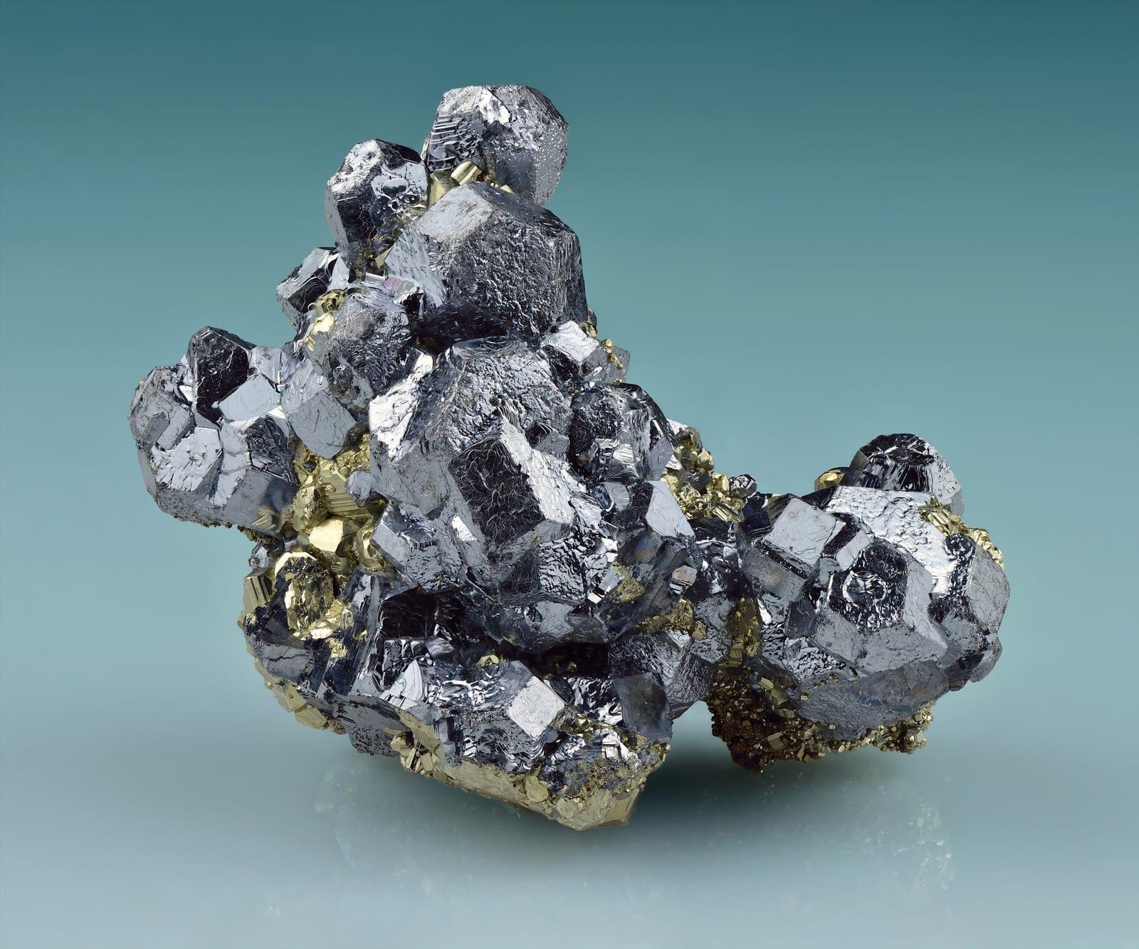
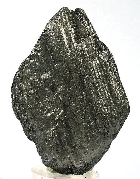
Ducktown sits on the Copper Basin, a Precambrian massive-sulfide deposit that made it one of the most important copper districts in the Southeast. The Burra Burra Mine worked ore below 2,400 feet from 1899 to 1959 and left dumps historically rich in chalcopyrite, pyrrhotite, magnetite, garnet, and staurolite. The reclaimed red-hills landscape and the Ducktown Basin Museum document a mining story with few equals in the state. Reported finds include azurite, chalcopyrite, garnet, gold, pyrite, and more. Below: coordinates, access notes, nearby spots, and trip-planning links.
Plan your visit
Generally open to casual rockhounding
- County
- Polk County
- State
- Tennessee
- Nearest road
- Stansbury Mountain Road
- Postcode
- 37317
- Coordinates
- 35.03255, -84.36551
Coordinates are approximate. Confirm the exact ground in the RockHoundR app, where land overlays show which agency manages the area.
Land & collecting status
Generally open to casual rockhounding
Most public-tagged spots sit on BLM, U.S. Forest Service, or other federal land where reasonable hand collecting of common rocks and minerals is allowed. Confirm posted rules and active mining claims before you dig.
Access note: The Burra Burra site is a Tennessee State Historic Site and museum rather than an open collecting area, and the mine dumps are private property. Visitors come for the museum and the industrial-heritage grounds, not to dig. Any specimen collecting requires explicit permission from the site or the surrounding landowners.
Public-land rules vary by agency, season, and field office. The RockHoundR app pulls live BLM, USFS, NPS, and tribal overlays so you can see exactly which agency manages the ground at this spot.
Best time to visit Ducktown
Comfortable months (45 to 90°F highs)
Conditions here are workable year-round, with typical highs from 48°F in winter to 87°F in summer.
Climate normals: NOAA 1991-2020 monthlies, TELLICO PLAINS station (22 mi away), adjusted for elevation.
Geology at Ducktown
This spot sits on Great Smoky Group, including Anakeesta Formation, Thunderhead Sandstone, and Elkmont Sandstone, mapped as graywacke that formed roughly 4600 to 540 million years ago. In sedimentary country like this, any placer gold is typically recycled from older gravels, concentrating again in modern stream beds.
- Mapped unit
- Great Smoky Group, including Anakeesta Formation, Thunderhead Sandstone, and Elkmont Sandstone
- Age
- 4600–540 Ma (Precambrian)
- Rock types
- graywacke
- Elevation
- 1,640 ft
Geologic mapping via Macrostrat and the underlying state geological survey maps (CC BY 4.0). Bedrock at the surface can vary within a mapped unit.
Today's weather
Is today a good day to go?
The app shows live weather, recent rain, and a daily rockhounding score for Ducktown.
Get the appSources & verification
Spot details combine the public RockHoundR location dataset, normalized mineral labels, agency land-status checks in the app, and community submissions. Coordinates are approximate until verified in the field.
- Tennessee Division of Geology
- Cherokee National Forest
- Tennessee State Parks rules
- Community submissions reviewed against published agency rules
Found at Ducktown
Each name opens all spots that produce that material; the encyclopedia link opens the full ID and field guide.
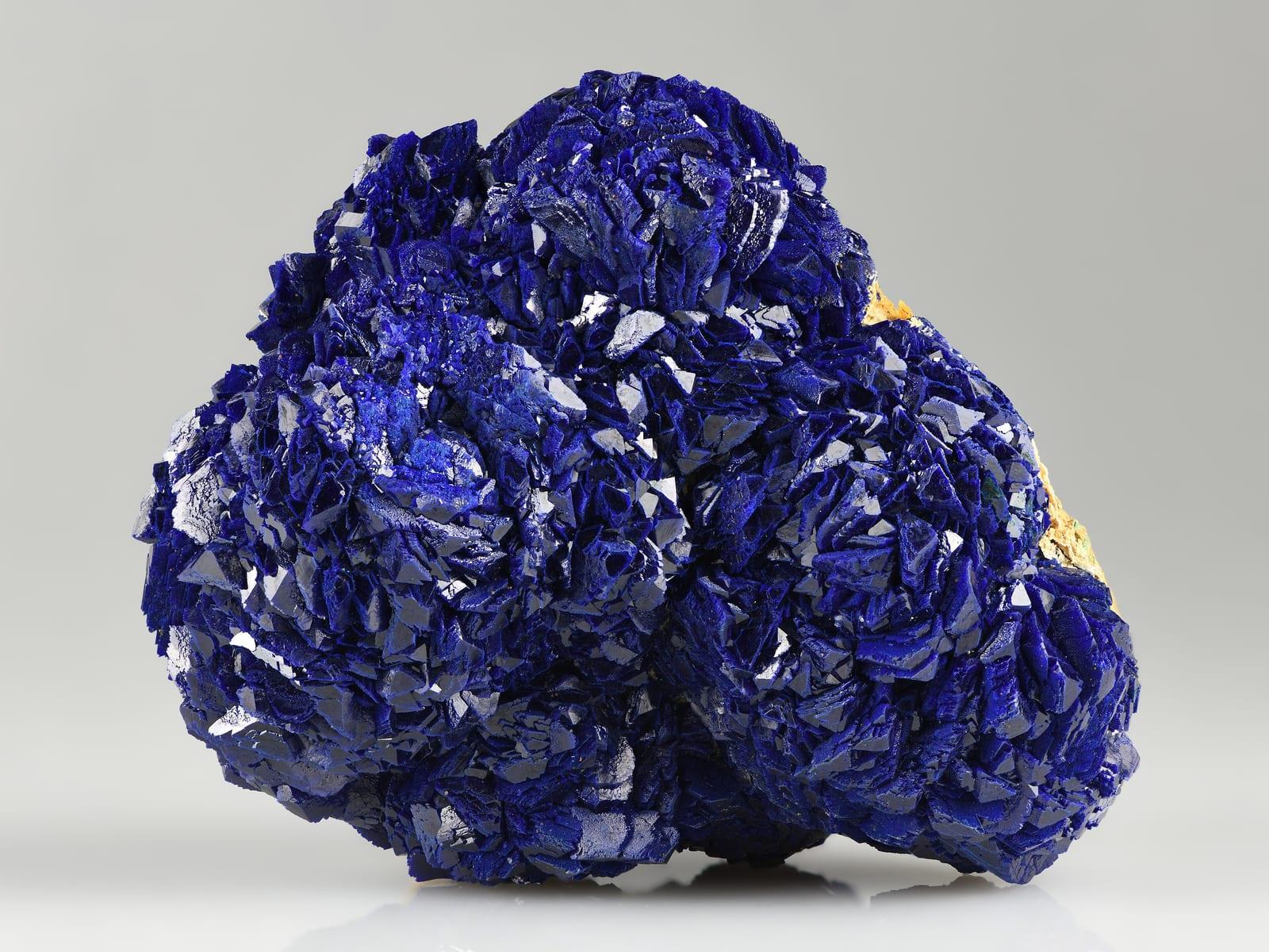
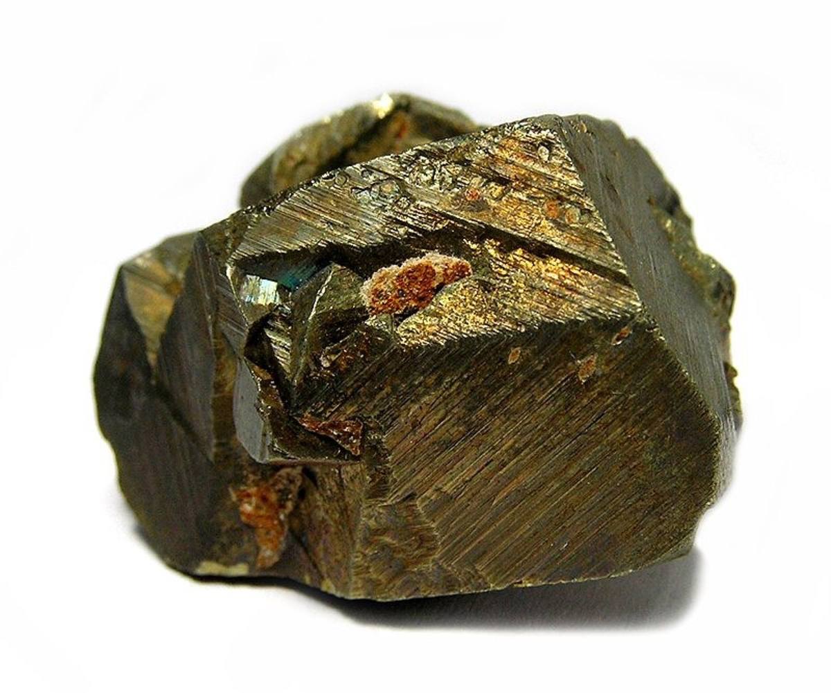
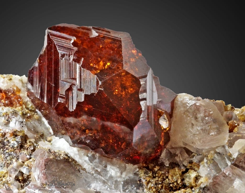
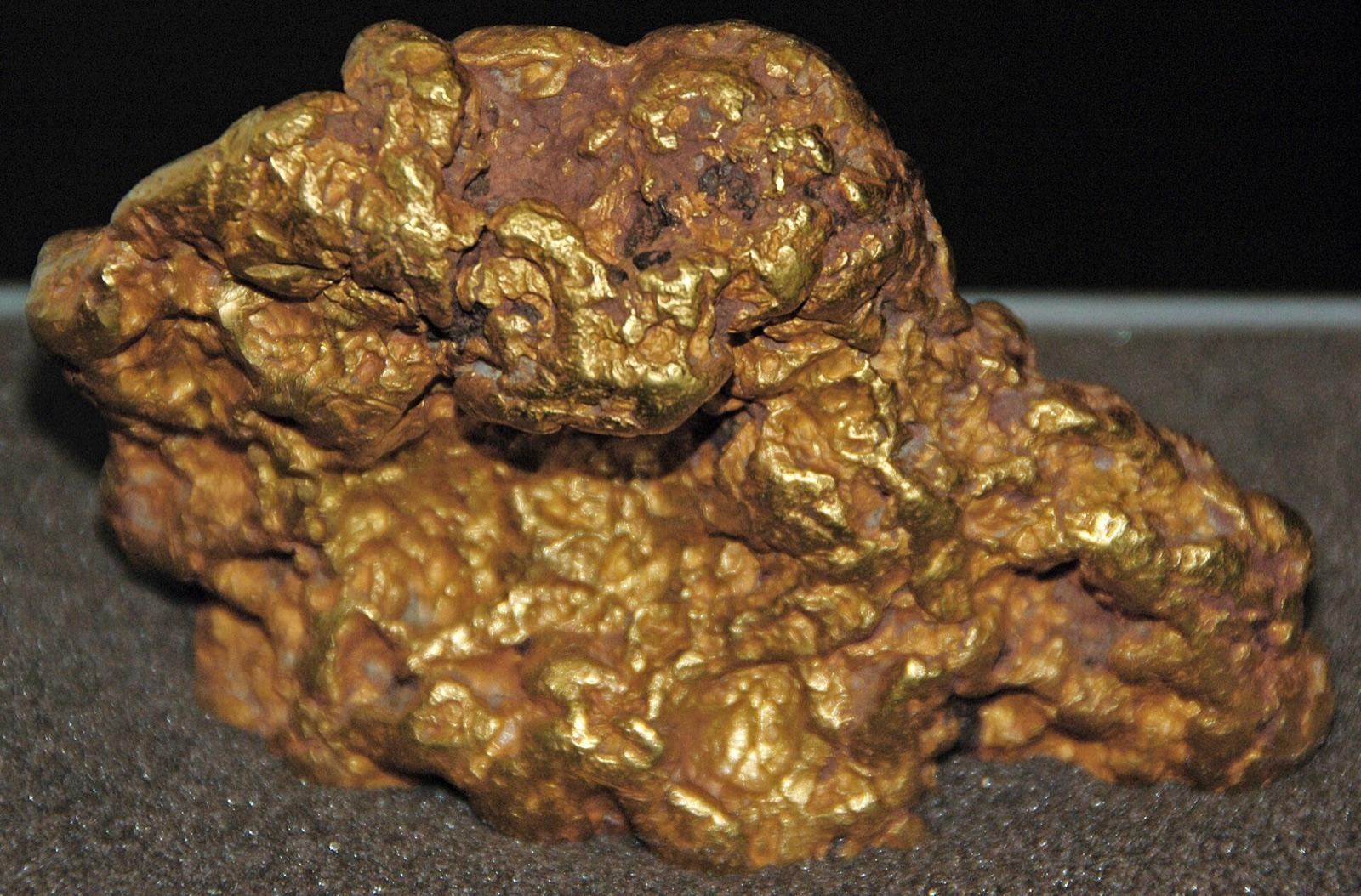
Nearby rockhounding spots
Other rockhounding spots within driving distance of Ducktown.
- CopperhillPolk County, Tennessee · 3 mi awayAzurite, Chalcopyrite, Garnet
- Blue SpringsBradley County, Tennessee · 31 mi awayGalena
- ClevelandBradley County, Tennessee · 32 mi awaySphalerite
- Little Tennessee RiverMonroe County, Tennessee · 38 mi awayQuartz
- SweetwaterMonroe County, Tennessee · 40 mi awayBarite, Fluorite, Sphalerite
- Montvale SpringsBlount County, Tennessee · 48 mi awayGold
- Missionary RidgeHamilton County, Tennessee · 50 mi awayBauxite
- FriendsvilleBlount County, Tennessee · 53 mi awayMarble
Across the state line from Ducktown
Ducktown is close enough to the Tennessee border that the next-closest rockhounding spots are in a neighboring state. Worth knowing if you are already on the road.
- Cole’s CrossingFannin County, Georgia · 8 mi awayStaurolite
- Windy Ridge and Mineral BluffFannin County, Georgia · 9 mi awayStaurolite
- Fannin CountyFannin County, Georgia · 10 mi awayStaurolite
- UnakaCherokee County, North Carolina · 16 mi awayStaurolite, Agate, Epidote
- BrasstownCherokee County, North Carolina · 21 mi awayGarnet
- Hanging Dog and Persimmon CreeksCherokee County, North Carolina · 24 mi awayStaurolite
Ducktown FAQ
Where is Ducktown?+
What rocks and minerals can you find at Ducktown?+
Is collecting allowed at Ducktown?+
What tools should I bring to Ducktown?+
When is the best time to visit Ducktown?+
How do I get to Ducktown?+
More rockhounding in Tennessee
See all 60 Tennessee spots →
Open Ducktown on the map
Use the RockHoundR app for live land overlays, weather, geology, directions, and saved finds.


