
Gold Panning and Prospecting near Manchester, NH
14 of the mapped rockhounding spots within 150 miles of Manchester report gold. The closest is Acton Lead Mines, about 43 miles out (54 min drive).
Recreational gold collecting means panning placer gravels where moving water has concentrated heavy flakes and the occasional nugget, or working the dumps of historic lode districts.
Every gold spot within 150 miles of Manchester
 Acton Lead MinesYork County, Maine · 43 mi awayPublic access · Andalusite, Arsenopyrite, Bornite +9
 Best spotCamp Plymouth State ParkWindsor County, Vermont · 71 mi awayPublic access · Gold
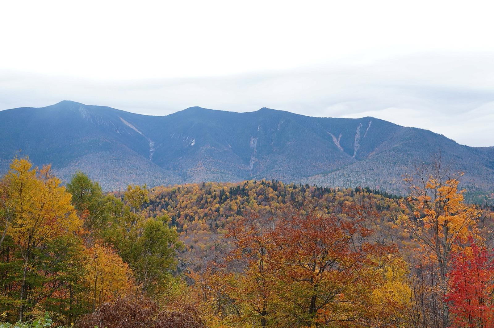 Best spotTunnel BrookGrafton County, New Hampshire · 79 mi awayPublic access · Gold Placer, Gold Nugget
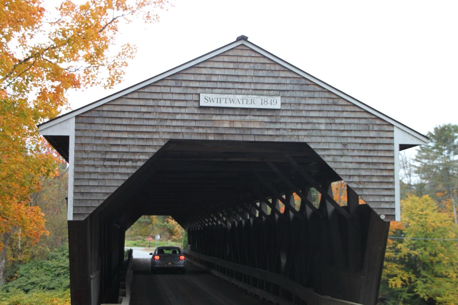 Best spotWild Ammonoosuc RiverGrafton County, New Hampshire · 83 mi awayPublic access · Gold Placer, Gold Nugget
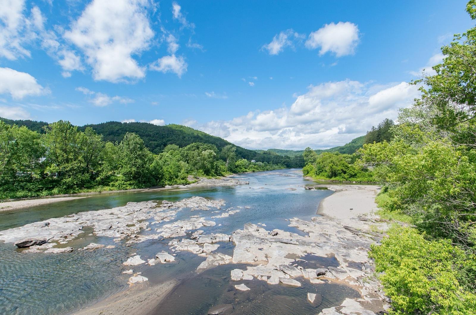 Best spotWhite RiverOrange County, Vermont · 91 mi awayPublic access · Gold
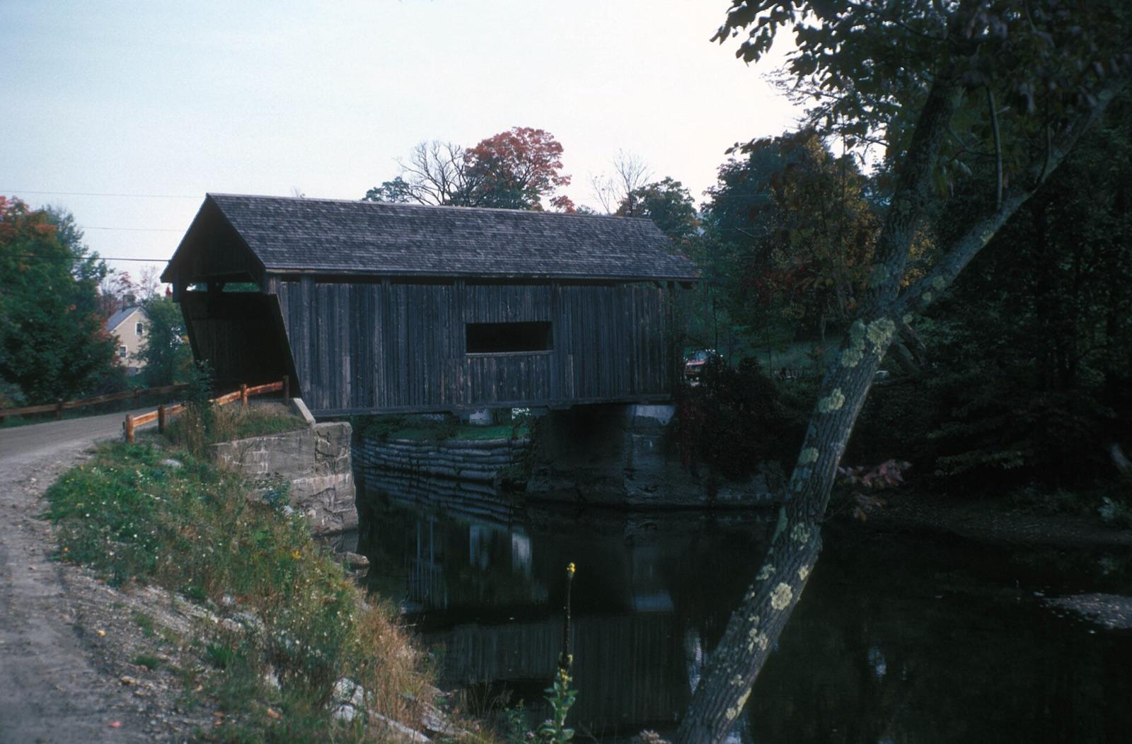 Best spotMad RiverWashington County, Vermont · 104 mi awayPublic access · Gold
- Gold BrookLamoille County, Vermont · 117 mi awayPublic access · Gold
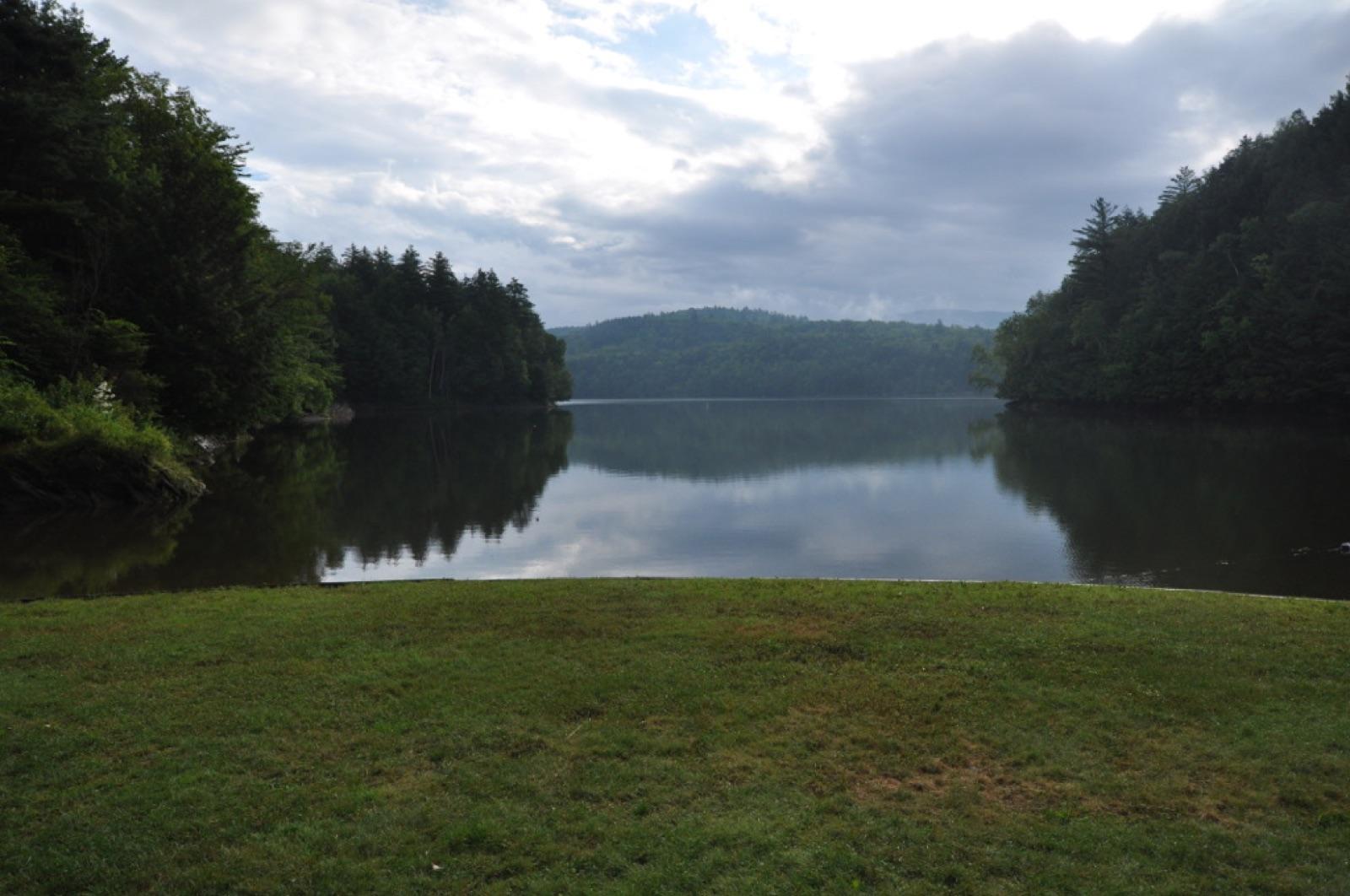 Best spotLittle RiverLamoille County, Vermont · 119 mi awayPublic access · Gold
 Best spotSwift River at Coos CanyonOxford County, Maine · 126 mi awayPublic access · Gold, Garnet, Magnetite +1
- Lamoille RiverLamoille County, Vermont · 128 mi awayPublic access · Gold
- Gihon RiverLamoille County, Vermont · 130 mi awayPublic access · Gold
 Best spotSandy River at New SharonFranklin County, Maine · 132 mi awayCheck locally · Gold, Garnet, Magnetite
- Missisquoi RiverOrleans County, Vermont · 138 mi awayPublic access · Gold
- Bulls BridgeNorthwest Hills Planning Region, Connecticut · 139 mi awayPublic access · Garnet, Gold
Types of gold reported near Manchester
Counts reflect how many spots in this radius mention each variety.
- Gold12
- Gold Nugget2
- Gold Placer2
Gold near Manchester FAQ
Where can I find gold near Manchester?+
14 mapped spots within about 150 miles of Manchester report gold. The closest is Acton Lead Mines in York County, roughly 43 miles away (54 min drive). The full list with coordinates is on this page.
Can I collect gold on public land near Manchester?+
13 of the 14 spots here sit on land mapped as publicly accessible. Casual hand collecting of common rocks and minerals is allowed on most BLM and Forest Service land with limits set by the local field office; national parks and most state parks are closed to collecting. Confirm current rules with the managing agency before a trip.
Do I need a permit to pan for gold?+
Hand panning is generally allowed on most BLM and Forest Service land that is not under an active mining claim, with no permit needed for pans and hand tools. Sluices and dredges fall under state rules and often do need permits. Check claim maps before working a creek: panning someone's claim is theft.
How far from Manchester do I need to drive?+
The nearest gold spot is about 43 miles out, and the farthest on this list is 139 miles. Most fall inside a normal weekend day-trip radius.
Keep exploring from Manchester
Gold Panning and Prospecting near other cities
Hunt gold around Manchester with the map in your pocket
RockHoundR shows these spots on an offline map with public land overlays, geology layers, weather, and a log for your finds.

