Rockhounding in Kentucky

Updated July 2026

37 mapped spots across 25 counties. Kentucky produces a wide range of rockhounding-grade material: see the full list of spots, minerals, and access notes below.

Where is the best rockhounding in Kentucky?

The best rockhounding in Kentucky is at Crittenden County in Crittenden County (galena, fluorite), Graves County in Graves County (agate, chalcedony), and Eddyville in Lyon County (agate, chalcedony). In total, 37 mapped collecting spots across 25 counties produce fluorite, geode, and quartz, each listed below with coordinates and land access notes.

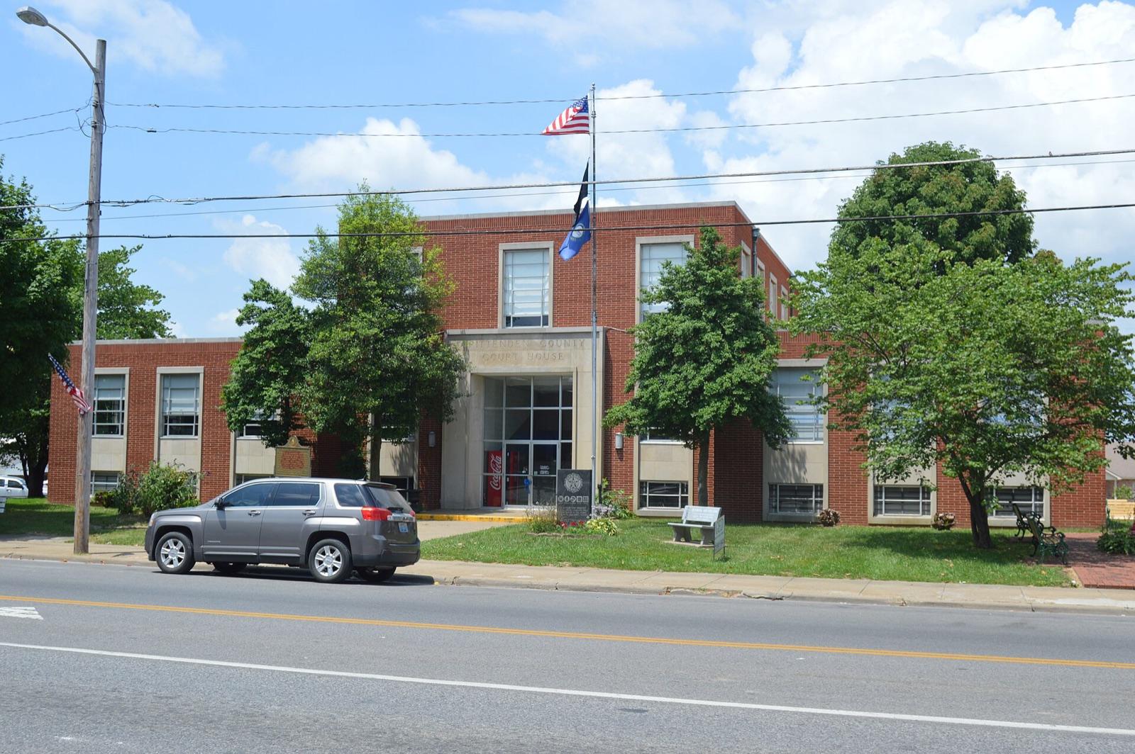
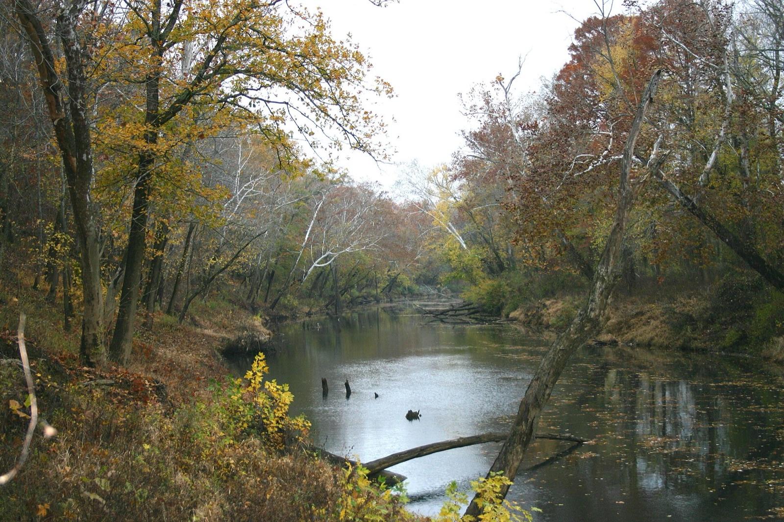
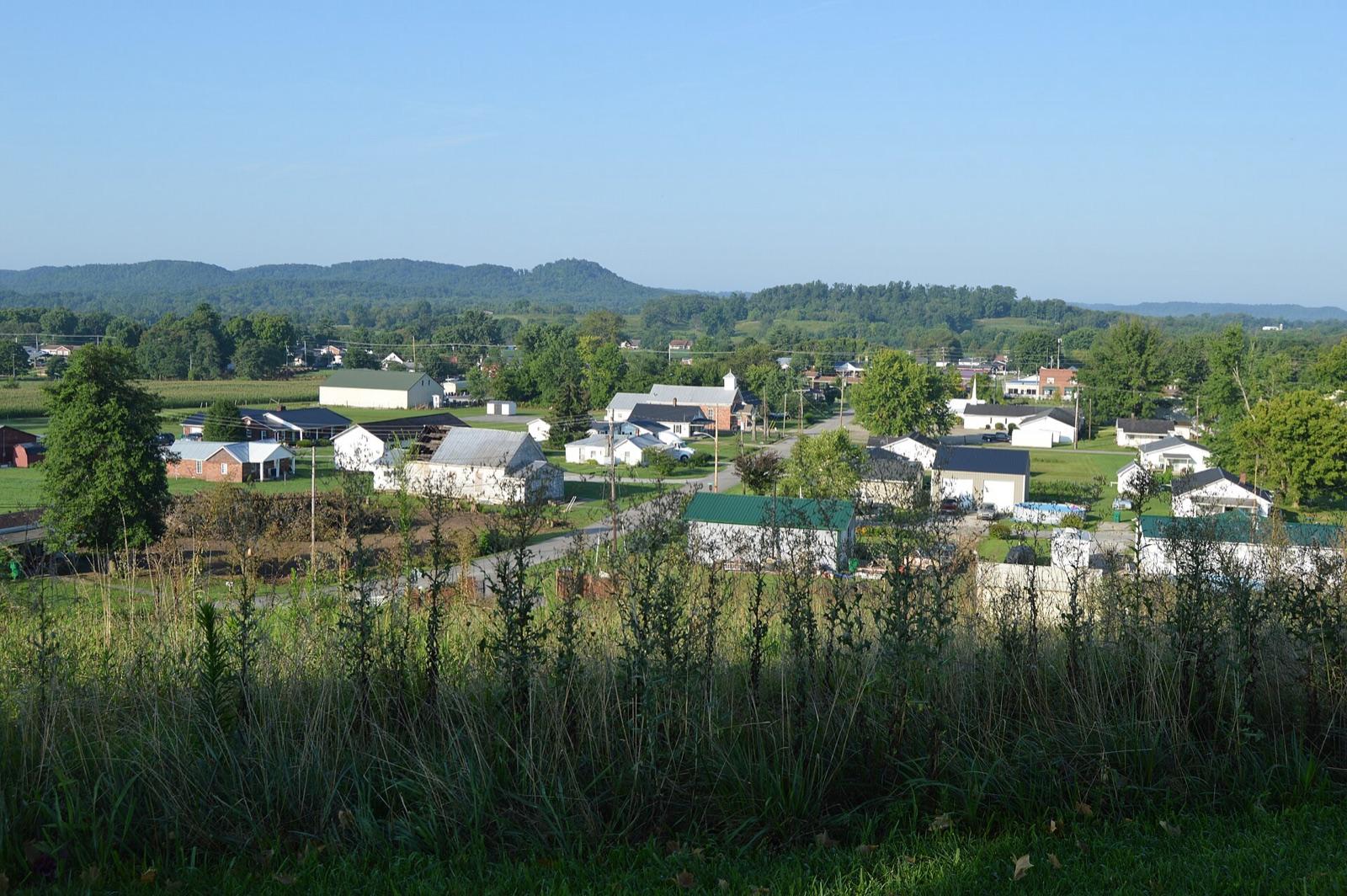
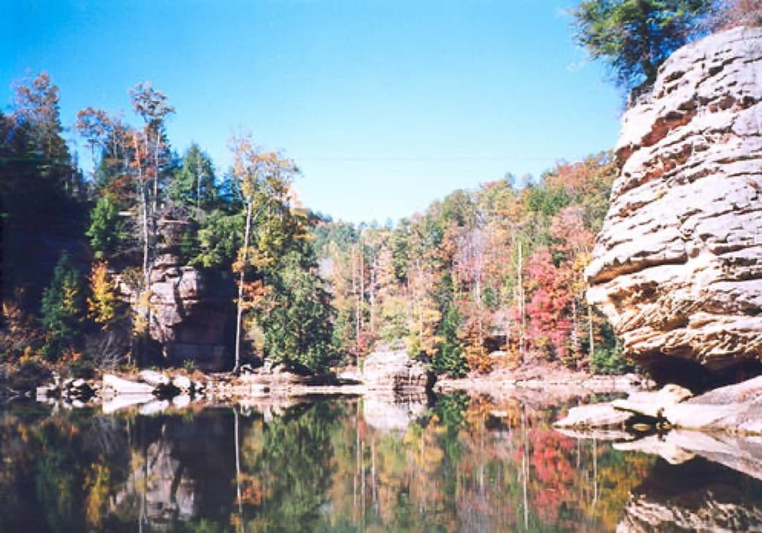
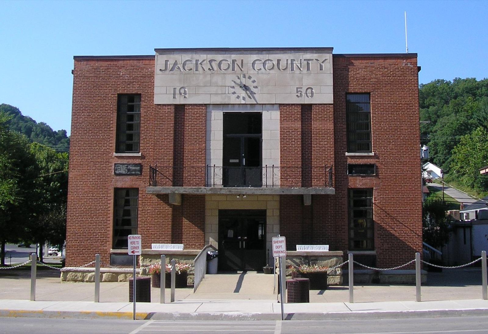
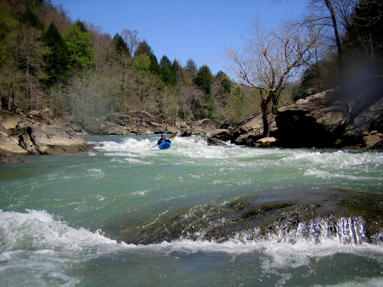
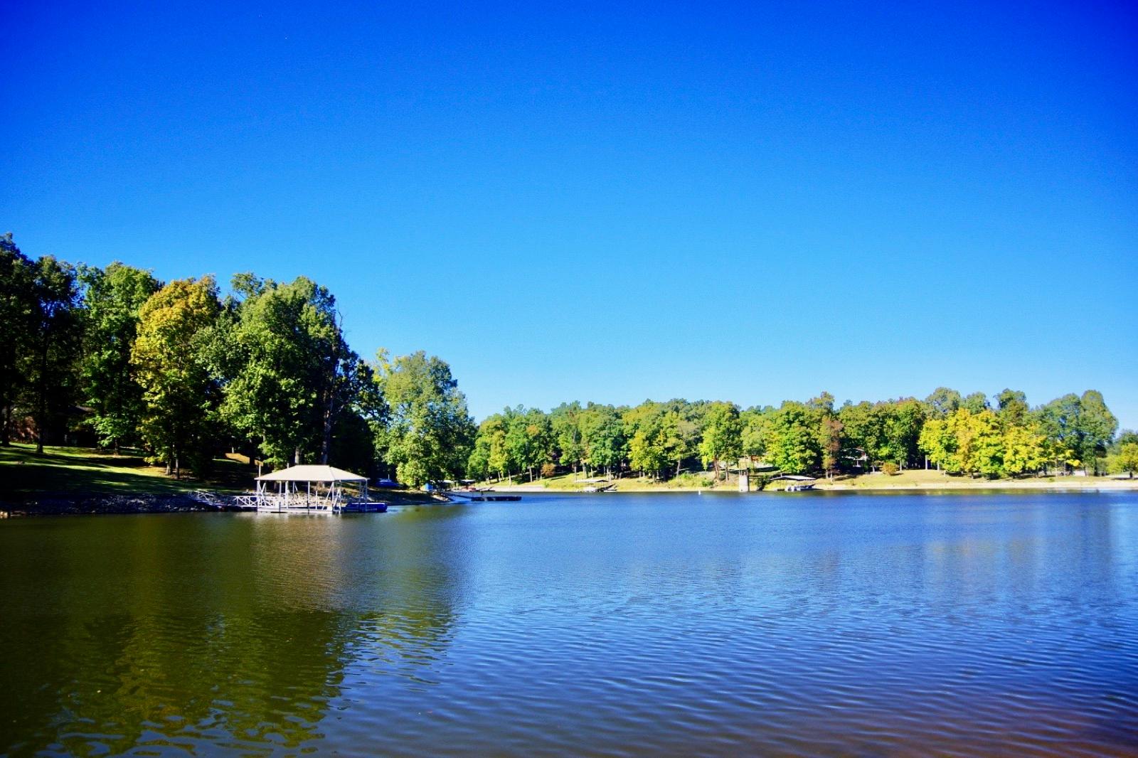
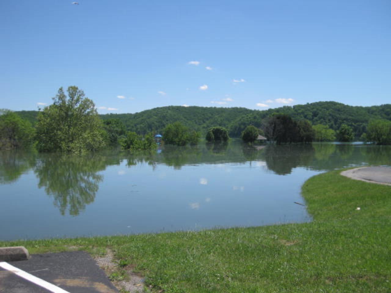
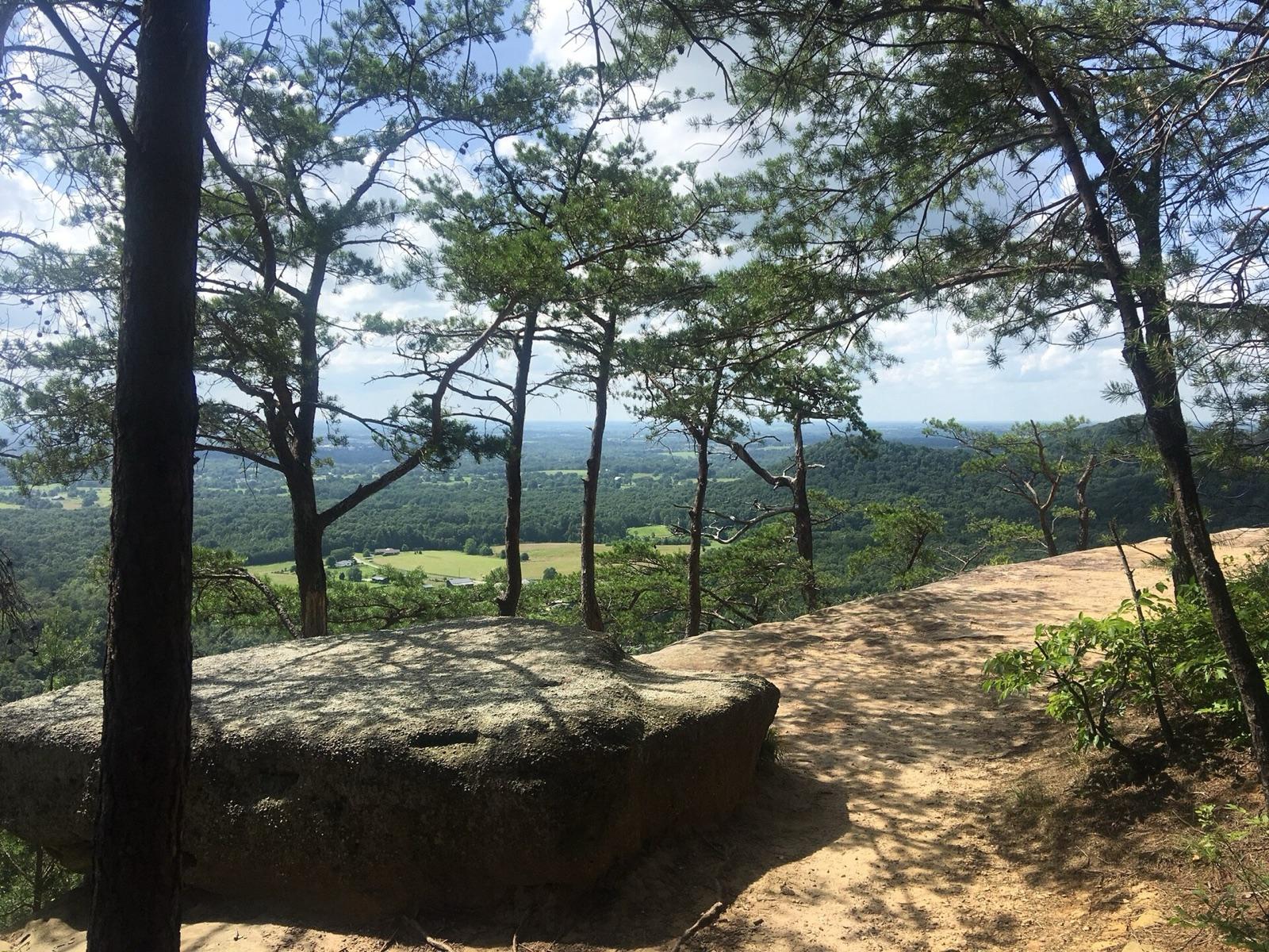
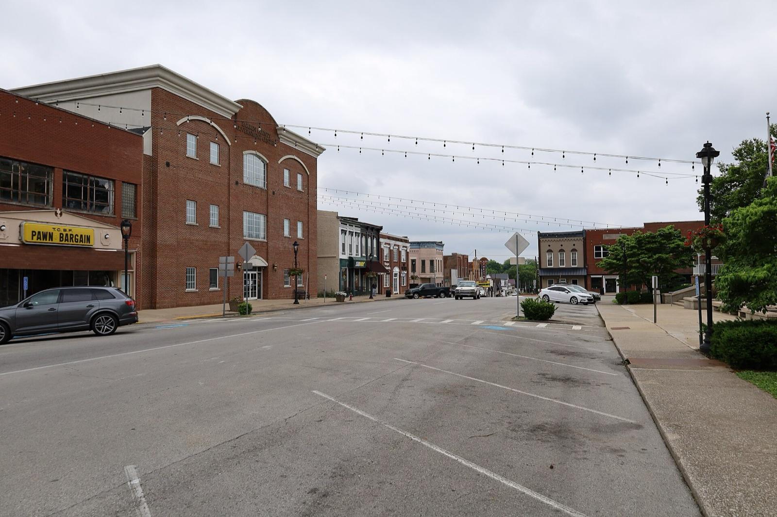
Kentucky rockhounding photos

Representative spot and material photos from locations in this state, shown where verified public image records are available.

5 photos

Map showing 37 rockhounding spots in Kentucky

Top minerals found in Kentucky

Counts reflect how many spots in this list mention each mineral.

Rockhounding near major Kentucky cities

Day-trip range. Each section lists the closest mapped rockhounding spots within about 150 miles of the city — most are inside a 2 to 3 hour drive.

Neighboring states with rockhounding

Geology rarely respects state borders. These states share mapped rockhounding country with Kentucky — useful when Kentucky is the start, not the whole trip. Each card links to the closest county across the line.

Rockhounding by county in Kentucky

County pages are linked once we have at least 3 mapped spots for a focused guide with coordinates, mineral notes, and nearby spots.

Top picks in Kentucky

10 best spots

Hand-picked standouts from the Kentucky list, chosen for unusual mineralogy, documented public access, or both. Each card links to coordinates, access notes, and what to look for.

Every rockhounding spot in Kentucky

Sorted by county. Tap coordinates to open in Google Maps, or open RockHoundR for the full map view with land overlays and weather.

SpotCountyMineralsCoordinatesAccess
Adair CountyG Russell RoadAdair County37.0776, -85.2661Public
ScottsvilleOld Hartsville RoadAllen County36.7410, -86.1905Public
Cave CityState Quarry RoadBarren County37.1041, -86.0125Public
GlasgowH Johnson RoadBarren County37.0334, -85.8436Public
AshlandBoyd County38.3733, -82.7438Public
Caldwell QuarryStanford RoadBoyle County37.6262, -84.7464Public
CriderCaldwell County37.1949, -87.9712Public
PrincetonCaldwell County37.0919, -87.8451Public
LaketonCarlisle County36.8751, -89.0966Public
Big Four FaultKY 297Crittenden County37.3497, -88.1926Public
Crittenden CountyIrma White RoadCrittenden County37.3677, -88.1750Public
FredoniaTruman Highfil RoadCrittenden County37.2204, -88.0929Public
Ison CreekKY 409Elliott County38.1357, -82.9787Public
Little Sandy RiverElliott County38.1175, -83.1100Public
Graves CountyKY 121Graves County36.6705, -88.5417Public
HardmoneyKY 1684Graves County36.9112, -88.5824Public
ElizabethtownReynolds RoadHardin County37.6350, -85.9517Public
Vine GroveRebecca Jane LaneHardin County37.8132, -85.9843Public
RowlettsCharlie Dowling RoadHart County37.2579, -85.8976Public
Kentucky Agate District (Jackson County)Jackson County37.4187, -83.9350Public
Louisville (oolites area)Gene Snyder FreewayJefferson County38.2611, -85.5030Public
Louisville (quarry area)Chickasaw Park RoadJefferson County38.2405, -85.8348Public
Green RiverRube Brown RoadLincoln County37.4298, -84.7421Public
Lincoln CountyNorth Fishing Creek RoadLincoln County37.3433, -84.6821Public
BirdsvilleBizzel Bluff RoadLivingston County37.2012, -88.3728Public
CarrsvilleTolu RoadLivingston County37.3959, -88.3528Public
EddyvillePort Authority RoadLyon County37.0725, -88.0574Public
Kentucky LakeForest Service Road 111-ALyon County36.9374, -88.1699Public
BereaWalker LaneMadison County37.5604, -84.3024Public
Kentucky Dam Village State ParkGilbertsville HighwayMarshall County37.0108, -88.2836Permission
TomkinsvilleDeckard StreetMonroe County36.7056, -85.7062Public
GratzKY 355Owen County38.4772, -84.9605Public
Mount VernonHansford RoadRockcastle County37.4449, -84.3227Public
Rowan CountyChristy Creek RoadRowan County38.1885, -83.3711Public
Cumberland FallsCumberland River Trail #2Whitley County36.8333, -84.3175Public
Kentucky River BendMundys Landing RoadWoodford County37.8473, -84.7663Public
TroyMundys Landing RoadWoodford County37.8515, -84.7664Public

Kentucky rockhounding FAQ

Is rockhounding legal in Kentucky?+
Casual hand collecting is allowed on most BLM and U.S. Forest Service land in Kentucky, with daily and annual limits set by the managing field office. National parks, most state parks, and tribal lands are off-limits. Always confirm rules with the local agency before a trip.
What rocks and minerals can you find in Kentucky?+
Kentucky spots in this list most commonly produce Fluorite, Geode, Quartz, Calcite, Barite. The full list across all spots is broader.
How many rockhounding sites are in Kentucky?+
RockHoundR currently lists 37 rockhounding spots in Kentucky across 25 counties. Many more exist; the app keeps your private finds saved alongside the public ones.
Can I take rocks home from Kentucky public land?+
On most BLM and Forest Service land, recreational hand collecting of common rocks and minerals is allowed in reasonable amounts. Vertebrate fossils, archaeological items, and posted mining-claim minerals are not. Check the field office for current limits.

Map every Kentucky spot in the app

Open the RockHoundR app to see Kentucky on a real map with public land overlays, weather, geology, and your saved finds.

Download on the App StoreGet it on Google Play