
Owyhee & southeast high desert
Plume agate, Owyhee picture jasper, common opal, and thundereggs. Long approach drives on dirt roads, high-clearance recommended outside of dry weather.
Updated October 2026
181 mapped spots for rock hunting and rock collecting across 28 counties. Oregon has a lot of good rockhounding in a compact area: high desert, Owyhee country, Cascade foothills, and the coast. Common finds include thundereggs, agate, jasper, obsidian, opal, and petrified wood, with many public BLM areas open to recreational collecting.
The best rockhounding in Oregon is at Opal Butte in Morrow County (hyalite opal), Warm Springs Reservoir in Harney County (agate, chalcedony), and Succor Creek General Area in Malheur County (agate, chalcedony). In total, 181 mapped collecting spots across 28 counties produce agate, jasper, and petrified wood, each listed below with its land access.
 Best spotBeach Area YachatsLincoln County, OregonPublic access · Agate, Chalcedony, Jasper +2Best spotSuccor Creek General AreaMalheur County, OregonPublic access · Agate, Chalcedony, Chert +2
 Best spotWarm Springs ReservoirHarney County, OregonPermission required · Agate, Chalcedony, Jasper +2Best spotAgate BeachLincoln County, OregonPublic access · Agate, Moonstone, Jasper +1Best spotGlass Butte Recreational Rockhound AreaLake County, OregonPublic access · Obsidian, Silver Sheen Obsidian, Lace Obsidian +1Best spotHampton ButteDeschutes County, OregonPublic access · Petrified Wood, Jasper, Agate +1Best spotQuartzville Recreational Mining CorridorLinn County, OregonPublic access · Gold, Agate, Jasper +1Best spotWilson RiverTillamook County, OregonPublic access · Agate, Carnelian, JasperBest spotWhite Fir SpringCrook County, OregonPublic access · Thunderegg, JasperBest spotMaury MountainsCrook County, OregonPublic access · Moss AgateBest spotOpal ButteMorrow County, OregonPermission required · Hyalite OpalBest spotOregon Sunstone Public Collection AreaLake County, OregonPublic access · Oregon SunstoneBest spotWhistler SpringCrook County, OregonPublic access · Thunderegg
 Quartzville Creek at Boulder Creek BridgeLinn County, OregonCheck locally · Gold, Quartz, Calcite +7Old MinesJosephine County, OregonPermission required · Arsenopyrite, Azurite, Calcite +6Althouse CreekJosephine County, OregonPermission required · Agate, Garnet, Gold Nugget +5Mt. PisgahLane County, OregonPermission required · Agate, Calcite, Heulandite +4RockvilleMalheur County, OregonCheck locally · Opalized Wood, Agatized Wood, Chalcedony +4
 N Umpqua RiverDouglas County, OregonPublic access · Agate, Chalcedony, Carnelian +3Pike CreekHarney County, OregonCheck locally · Thunderegg, Jasper, Agate +3S Umpqua RiverDouglas County, OregonPublic access · Agate, Chalcedony, Carnelian +3South Umpqua River - Rest AreaDouglas County, OregonCheck locally · Agate, Jasper, Carnelian +3South Umpqua River Gravel BarsDouglas County, OregonCheck locally · Agate, Jasper, Carnelian +3Streams around Oregon CavesJosephine County, OregonPermission required · Agate, Chalcedony, Gold +3Twin SpringsMalheur County, OregonCheck locally · Agate, Jasper, Petrified Wood +3West Side Warner PeakLake County, OregonPermission required · Agate, Chalcedony, Geode +3AntelopeWasco County, OregonPermission required · Agate, Chalcedony, Geode +2AshwoodJefferson County, OregonPermission required · Agate, Chalcedony, Geode +2Beach Area FlorenceLane County, OregonPublic access · Agate, Jasper, Petrified Wood +2BroganMalheur County, OregonPublic access · Agate, Chalcedony, Chert +2Coquille River Gravel BarsCoos County, OregonCheck locally · Petrified Wood, Jasper, Agate +2Crissey Field State Recreation SiteCurry County, OregonPublic access · Agate, Red Jasper, Jasper +2Dry CreekLake County, OregonCheck locally · Red Jasper, Jasper, Quartz +2Haystack ButteMalheur County, OregonCheck locally · Jellybean Jasper, Agate, Petrified Wood +2Ironside and Malheur ReservoirMalheur County, OregonPublic access · Agate, Chalcedony, Chert +2LakeviewLake County, OregonPublic access · Agate, Jasper, Geode +2North Beede ReservoirHarney County, OregonCheck locally · Agate, Plume Agate, Jasper +2North Beede ReservoirHarney County, OregonCheck locally · Agate, Plume Agate, Jasper +2Oceanside & Tunnel BeachesTillamook County, OregonCheck locally · Agate, Jasper, Calcite +2Pistol RiverCurry County, OregonCheck locally · Quartz, Jasper, Agate +2Priday Agate BedsJefferson County, OregonFee dig · Agate, Chalcedony, Jasper +2Shirttail CreekBaker County, OregonPublic access · Agate, Chalcedony, Jasper +2South Fork Umpqua River - Myrtle CreekDouglas County, OregonCheck locally · Agate, Jasper, Quartz +2South Umpqua BridgeDouglas County, OregonCheck locally · Quartz, Agate, Jasper +2Swiftwater ParkDouglas County, OregonCheck locally · Agate, Jasper, Quartz +2Warm Springs ReservoirHarney County, OregonCheck locally · Agate, Plume Agate, Jasper +2Warm Springs ReservoirHarney County, OregonCheck locally · Agate, Plume Agate, Jasper +2Warm Springs Reservoir - Site 3Malheur County, OregonCheck locally · Agate, Plume Agate, Jasper +2Warm Springs Reservoir - Site 4Malheur County, OregonCheck locally · Agate, Plume Agate, Jasper +2WillowdaleJefferson County, OregonPermission required · Agate, Chalcedony, Geode +2Agness BarCurry County, OregonCheck locally · Quartz, Chalcedony, Agate +1Bailey BeachCurry County, OregonPublic access · Quartz, Agate, Jasper +1Beach Area NewportLincoln County, OregonPublic access · Agate, Moonstone, Jasper +1Beverly Beach State ParkLincoln County, OregonPublic access · Agate, Jasper, Petrified Wood +1Bob Creek State Wayside (Bob's Creek)Lane County, OregonPublic access · Agate, Jasper, Petrified Wood +1Bob Straub State ParkTillamook County, OregonPermission required · Agate, Jasper, Bloodstone +1Clackamas RiverClackamas County, OregonCheck locally · Petrified Wood, Cinnabar, Agate +1Clackamas RiverClackamas County, OregonCheck locally · Petrified Wood, Cinnabar, Agate +1Clear CreekColumbia County, OregonPermission required · Plume Agate, Carnelian, Jasper +1Cow Creek Gold Panning & Rockhounding AreaDouglas County, OregonCheck locally · Gold, Agate, Jasper +1Elk RiverCurry County, OregonCheck locally · Quartz, Agate, Jasper +1Fischer CanyonCrook County, OregonCheck locally · Petrified Wood, Agate, Jasper +1Green Springs Mt.Jackson County, OregonPermission required · Agate Nodule, Carnelian, Chalcedony +1Harney LakeHarney County, OregonCheck locally · Agate, Jasper, Oolitic Agate +1Lobster BarCurry County, OregonCheck locally · Quartz, Agate, Jasper +1McVay Rock State Recreation SiteCurry County, OregonPublic access · Agate, Jasper, Jade +1Ocean beachTillamook County, OregonPublic access · Agate, Jasper, Bloodstone +1Ona State ParkLincoln County, OregonPublic access · Agate, Jasper, Petrified Wood +1Orchard BarCurry County, OregonCheck locally · Quartz, Agate, Jasper +1Otter Rock & Devils Punch Bowl State ParkLincoln County, OregonPublic access · Agate, Jasper, Petrified Wood +1Seal Rock State Recreation SiteLincoln County, OregonPublic access · Agate, Jasper, Petrified Wood +1Stinkingwater CreekHarney County, OregonCheck locally · Petrified Wood, Agate, Jasper +1Twin SpringsMalheur County, OregonCheck locally · Agate, Jasper, Geode +1Whiskey Run LaneCoos County, OregonCheck locally · Agate, Jasper, Quartz +1White RockCrook County, OregonPublic access · Thunderegg, Agate, Chalcedony +1Willamette RiverBenton County, OregonPublic access · Agate, Jasper, Bloodstone +1Alfred Loeb State ParkCurry County, OregonPublic access · Quartz, Jasper, AgateApplegate RiverJackson County, OregonPublic access · Bowenite, Jade, SerpentineBeaches Around Chetco RiverCurry County, OregonPublic access · Agate, Californite, JasperBeaches Around Rogue RiverCurry County, OregonPublic access · Agate, Californite, JasperBear CreekCrook County, OregonPublic access · Moss Agate, Chalcedony, Drusy QuartzBig Creek BridgeLane County, OregonCheck locally · Jasper, Agate, Petrified WoodBrookingsCurry County, OregonPublic access · Agate, Jasper, Nephrite JadeCalapooia River & Ames CreekLinn County, OregonPublic access · Banded Agate, Geode, Silicified WoodCarey Agate BedsCrook County, OregonPublic access · Agate, Chalcedony, JasperChandler Mt.Linn County, OregonPublic access · Purple Agate, Carnelian, Blue AgateCongleton HollowCrook County, OregonCheck locally · Petrified Wood, Limb Cast, Opalized WoodCrane MountainLake County, OregonPublic access · Agate, Jasper, ThundereggD River Wayside State ParkLincoln County, OregonPublic access · Agate, Jasper, Petrified WoodDendrite ButteCrook County, OregonCheck locally · Limb Cast, Opalized Wood, Petrified WoodEagle RockCrook County, OregonCheck locally · Plume Agate, Moss Agate, JasperFishermen's Bend SiteMarion County, OregonCheck locally · Agate, Jasper, Petrified WoodFogarty State ParkLincoln County, OregonPublic access · Agate, Jasper, Petrified WoodGleneden BeachLincoln County, OregonPublic access · Agate, Jasper, FossilGold BeachCurry County, OregonPublic access · Agate, Jasper, FossilHarris Beach State ParkCurry County, OregonPublic access · Agate, Jasper, Petrified WoodIllinois RiverJosephine County, OregonCheck locally · Agate, Jasper, JosephiniteJohn Day River at Cottonwood Canyon State ParkGilliam County, OregonPublic access · Agate, Jasper, Petrified WoodMerchants BeachCoos County, OregonPublic access · Agate, Jasper, Petrified WoodMill Beach at Chetco PointCurry County, OregonPublic access · Agate, Jasper, Petrified WoodMoolack BeachLincoln County, OregonPublic access · Agate, Jasper, FossilNehalem River gravelsClatsop County, OregonPublic access · Agate, Carnelian, JasperNelscott BeachLincoln County, OregonPublic access · Agate, Jasper, FossilNeptune Beach (Cummins Creek)Lane County, OregonPublic access · Agate, Jasper, Petrified WoodNeptune State Park (Gwynn Creek)Lane County, OregonPublic access · Agate, Jasper, Petrified WoodOrofino Mine areaGrant County, OregonPermission required · Agate, Jasper, GoldPacific Ocean beachesClatsop County, OregonPublic access · Bloodstone, Jasper, AgateQuartz Mountain PassLake County, OregonCheck locally · Agate, Chalcedony, JasperRoads End State ParkLincoln County, OregonPublic access · Agate, Jasper, Petrified WoodSiletz Bay Park - Taft BeachLincoln County, OregonPublic access · Agate, Jasper, Petrified WoodSixes River Recreation AreaCurry County, OregonCheck locally · Gold, Agate, JasperSocial Security Bar - Chetco RiverCurry County, OregonCheck locally · Quartz, Jasper, AgateSport Haven Beach - South Jetty of Chetco RiverCurry County, OregonPublic access · Agate, Jasper, FossilStayton Bridge - North Santiam RiverMarion County, OregonCheck locally · Agate, Jasper, Petrified WoodThomas CreekLinn County, OregonCheck locally · Agate, Jasper, Petrified WoodWhaleshead BeachCurry County, OregonPublic access · Agate, Jasper, Petrified WoodAgate BeachCurry County, OregonPublic access · Agate, JasperAgate FlatMalheur County, OregonCheck locally · Agate, JasperAgate HillMalheur County, OregonCheck locally · Agate, JasperBeulah ReservoirMalheur County, OregonCheck locally · Fossil, AgateCape Blanco State ParkCurry County, OregonPublic access · Agate, JasperCarl G. Washburne Memorial State ParkLane County, OregonPublic access · Agate, JasperCedar Springs Mt.Douglas County, OregonPublic access · Azurite, ChalcoliteDelintment LakeHarney County, OregonCheck locally · Ammonite Fossil, FossilEagle PointJackson County, OregonPublic access · Moss Agate, BloodstoneFlook LakeLake County, OregonCheck locally · Agate, JasperHolly BeachLincoln County, OregonPublic access · Agate, JasperJohn Day RiverGrant County, OregonPublic access · Fossil, Petrified WoodLower Inmaha RiverWallowa County, OregonPublic access · Agate, PraseMann Lake Recreation SiteHarney County, OregonPublic access · Agate, ThundereggMosierWasco County, OregonPermission required · Petrified Wood, Silicified Pine ConeMud RidgeHarney County, OregonCheck locally · Obsidian, Snowflake ObsidianMuriel O. Ponsler Memorial State ParkLane County, OregonPublic access · Agate, JasperNegro Rock Petrified WoodMalheur County, OregonPublic access · Petrified Wood, Common OpalNickel Mountain Mine - RiddleDouglas County, OregonCheck locally · Garnierite, ChrysoprasePolka Dot Agate MineJefferson County, OregonCheck locally · Polka Dot Agate, ThundereggShort BeachTillamook County, OregonPublic access · Agate, JasperSmelt Sands State ParkLincoln County, OregonPublic access · Agate, JasperStonefield Beach State Park (Tenmile Creek)Lane County, OregonPublic access · Agate, JasperStrawberry HillsLane County, OregonCheck locally · Agate, JasperSugarloaf Mt.Curry County, OregonPublic access · Nephrite, SerpentineSunflower FlatWasco County, OregonPermission required · Jasper, ThundereggWarner CanyonLake County, OregonPublic access · Petrified Wood, QuartzYachats Ocean Road State ParkLincoln County, OregonPublic access · Agate, JasperBeach Area Winchester BayDouglas County, OregonPublic access · AgateBear CreekCrook County, OregonCheck locally · Petrified WoodBear Creek - Site 1Crook County, OregonCheck locally · Petrified WoodBlue Mountain MineMalheur County, OregonFee dig · JasperBoulder CreekLinn County, OregonCheck locally · PyriteButte FallsJackson County, OregonPublic access · BloodstoneChenowith CreekWasco County, OregonPermission required · Opalized WoodColumbia River shoreColumbia County, OregonPublic access · ThomsoniteCottonwood SpringMalheur County, OregonCheck locally · Petrified WoodCrane CreekLake County, OregonCheck locally · ThundereggDesolation CanyonCrook County, OregonPermission required · ThundereggDouble Eagle MineLake County, OregonFee dig · SunstoneDurkeeBaker County, OregonPublic access · QuartzDust Devil MineLake County, OregonCheck locally · SunstoneForked Horn ButteCrook County, OregonPermission required · ThundereggGeneral AreaMorrow County, OregonPermission required · Nodules Filled With OpalGopher HolesMalheur County, OregonCheck locally · Petrified WoodHarvey CreekCrook County, OregonPublic access · ThundereggIsland Creek Day Use AreaDouglas County, OregonPublic access · GoldJohn Day River & StreamsWasco County, OregonPublic access · Fossilized FernLucky Strike MineCrook County, OregonFee dig · ThundereggPort OrfordCurry County, OregonPublic access · PlatinumPowder RiverBaker County, OregonPublic access · Chalcedony GeodeRichardson's Rock RanchJefferson County, OregonFee dig · ThundereggS Fork Crooked RiverCrook County, OregonPublic access · Agatized Limb CastSheep creekCrook County, OregonPublic access · Moss AgateShores of Ochoco ReservoirCrook County, OregonPublic access · Ochoco JasperSpectrum Sunstone MineKlamath County, OregonFee dig · Oregon SunstoneSpectrum Sunstone MineLake County, OregonFee dig · SunstoneSuccor Creek State Natural AreaMalheur County, OregonPublic access · ThundereggSylvies CanyonHarney County, OregonPublic access · Wood OpalUmpqua RiverDouglas County, OregonPublic access · Oregon JadeWheeler High School Fossil BedsWheeler County, OregonFee dig · FossilWhite HillMalheur County, OregonCheck locally · Petrified WoodElk River - Gravel BarsCurry County, OregonCheck locallyOutlaw Rocks Mining CompanyKlamath County, OregonFee digTwin Springs CampgroundMalheur County, OregonCheck locally
Representative spot and material photos from locations in this state, shown where verified public image records are available.
Counts reflect how many spots in this list mention each mineral.
Notable areas: Glass Buttes obsidian, Lake County thundereggs, Sweet Home petrified wood, and Owyhee jasper are common Oregon targets.
Oregon's rockhounding comes from three main settings: the Cascade volcanic arc, the Basin and Range high desert in the southeast, and the Coast Range and Klamath terranes. The Owyhee Plateau has Miocene rhyolite flows, ash beds, and lake deposits that produce thundereggs, plume agate, picture jasper, and common opal. The Cascades add basalt, obsidian at places like Glass Buttes and Burns Junction, and zeolites. Central and eastern Oregon lake beds preserve petrified wood, including material near Sweet Home and the John Day basin.
Plume agate, Owyhee picture jasper, common opal, and thundereggs. Long approach drives on dirt roads, high-clearance recommended outside of dry weather.
Obsidian in many color varieties at Glass Buttes, plus Priday Ranch and Richardson's thundereggs, jasper, and agate. Several established dig sites sit in this part of the state.
Zeolites, agate, jasper float in stream gravels, and quartz crystal pockets in volcanic flow rock. Heavily roaded by USFS, snowbound in winter.
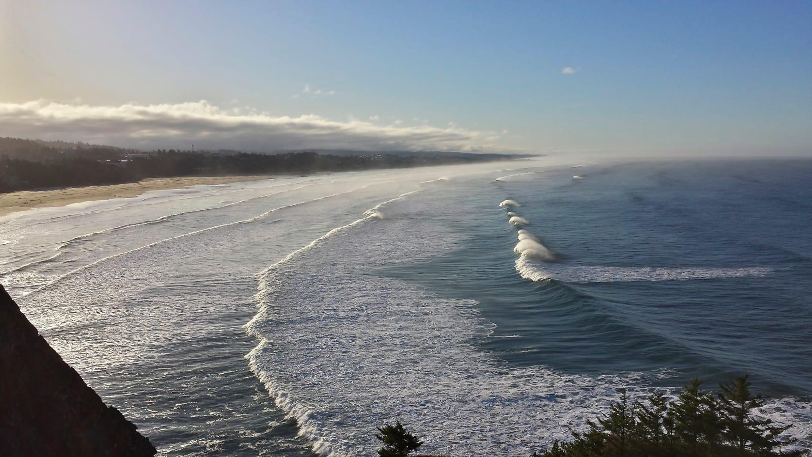
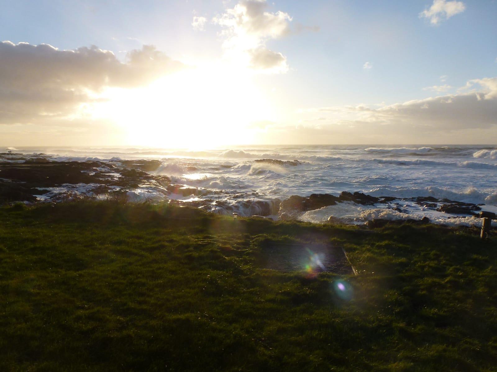
Petrified wood near Sweet Home (Holley Blue agate area), beach agates and jasper from the Pacific coast beaches. Coast collecting is by hand only and tide-dependent.
May through October is the usual window for the high desert and Owyhee. Winter can mean snow and muddy clay roads. Coast agate hunting is strongest after winter storms, roughly November through March, when fresh gravel is exposed.
Rock hammer and chisels, safety glasses, sturdy boots, gloves, sun protection, plenty of water, full-size spare tire and a jack rated for your vehicle, paper maps or offline maps, and a way to call out (cell coverage is spotty east of the Cascades). Long pants are worth it for sagebrush country.
Oregon rockhounding grew out of early-20th-century claim work in Owyhee and Lake counties. The thunderegg became the state rock in 1965, tied to the agate-filled rhyolite nodules found around Priday Ranch and nearby ground.
Day-trip range. Each section lists the closest mapped rockhounding spots within about 150 miles of the city. Most are inside a 2 to 3 hour drive.
6 closest spots to Portland, OR.
6 closest spots to Eugene, OR.
6 closest spots to Bend, OR.
Geology rarely respects state borders. These states share mapped rockhounding country with Oregon, useful when Oregon is the start, not the whole trip. Each card links to the closest county across the line.
County pages are linked once we have at least 3 mapped spots for a focused guide with coordinates, mineral notes, and nearby spots.
Hand-picked standouts from the Oregon list, chosen for unusual mineralogy, documented public access, or both. Each card links to coordinates, access notes, and what to look for.
 Top pick
Morrow County
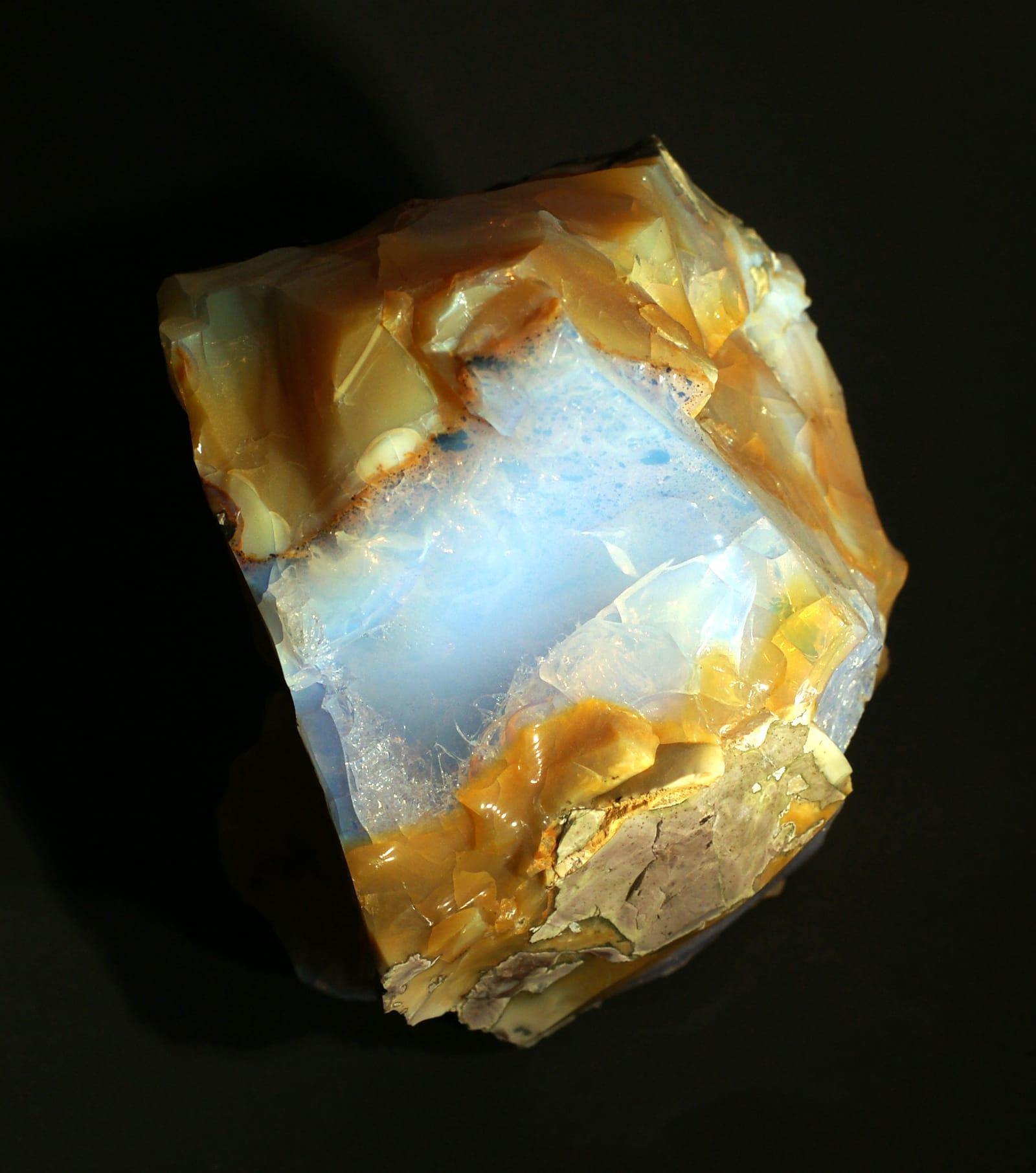
Opal Butte is noted for hyalite and several gem opal varieties, including rainbow, contra luz, hydrophane, crystal, fire, and blue opal.
Hyalite Opal
 Top pick
Harney County
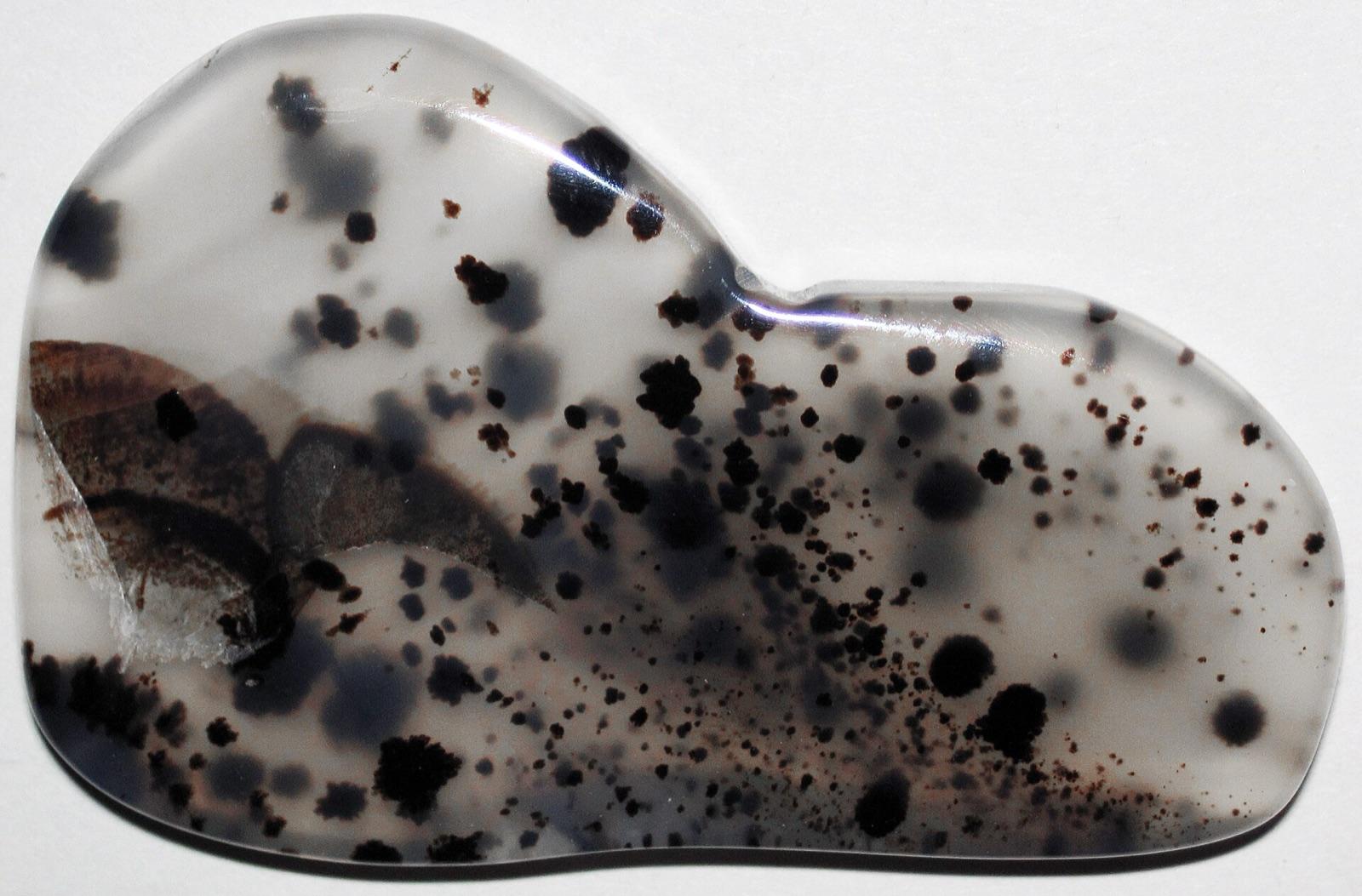
The high desert around Warm Springs Reservoir, on the Malheur River southeast of Burns, exposes weathered volcanic ground that yields agate, jasper, and petrified wood across public BLM land.
Agate, Chalcedony, Jasper, Petrified Wood
 Top pick
Malheur County
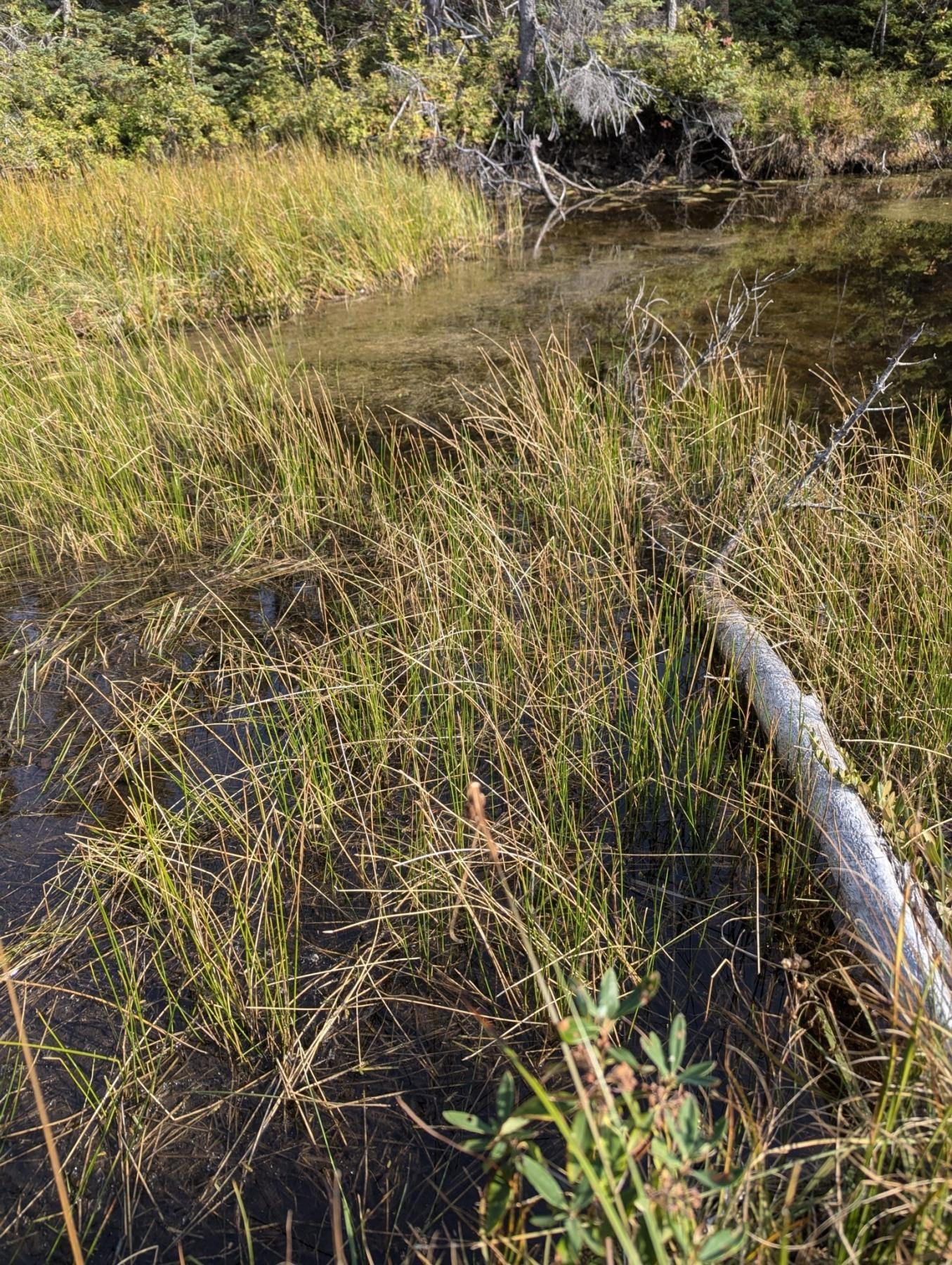
Succor Creek is a remote canyon locality where Oregon State Parks identifies a haven for rock hounds and DOGAMI lists agate, jasper, and related chalcedony-family material from the area.
Agate, Chalcedony, Chert, Jasper
 Top pick
Crook County
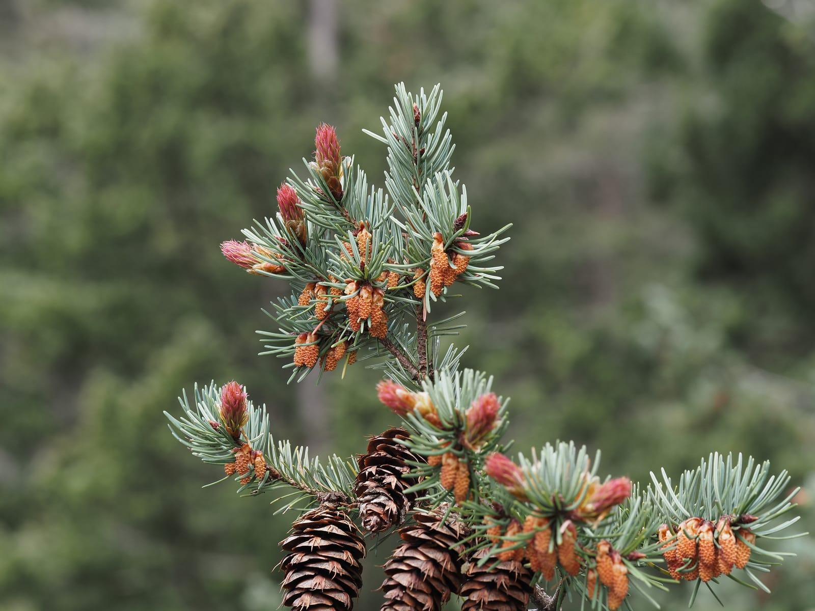
White Fir Spring is a public Ochoco National Forest thunderegg locality, with DOGAMI and Mindat records tying the site to agate- and jasper-filled nodules.
Thunderegg, Jasper
 Top pick
Crook County
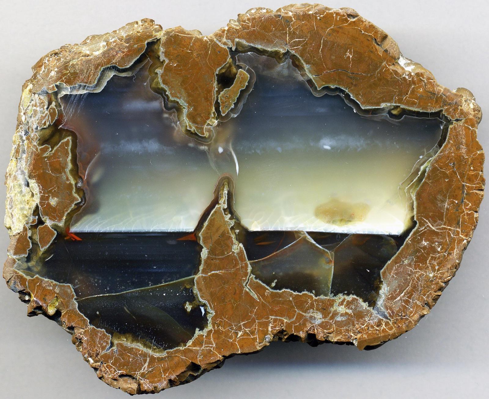
Whistler Spring is one of central Oregon's classic free National Forest thunderegg sites, listed by DOGAMI alongside White Fir in the Madras-Prineville rockhounding belt.
Thunderegg
 Top pick
Lake County
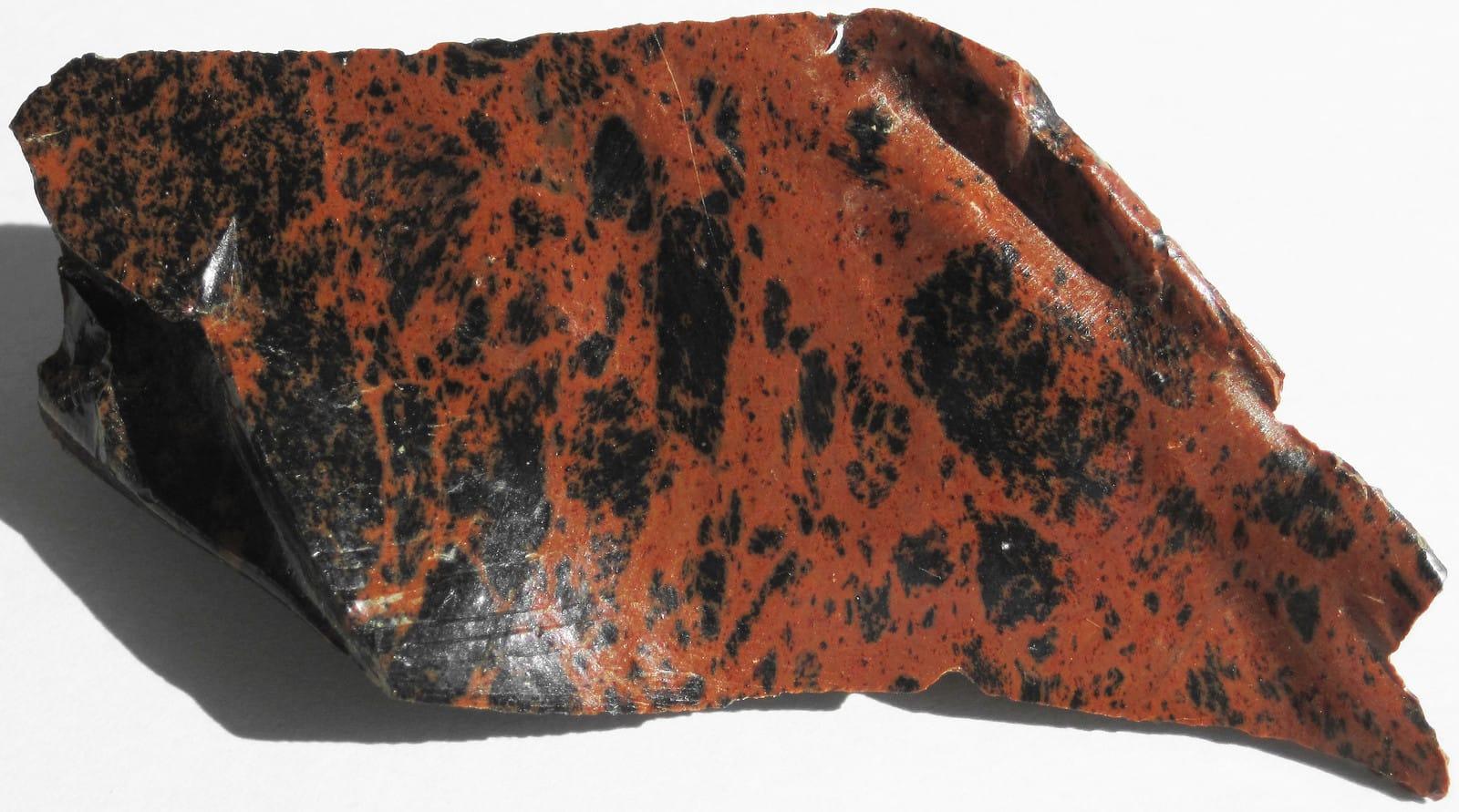
Glass Buttes is a rhyolite and obsidian complex with an unusually broad suite of gem-quality obsidian, including mahogany, rainbow, gold sheen, silver sheen, midnight lace, and other varieties documented by Oregon State University.
Obsidian, Silver Sheen Obsidian, Lace Obsidian, Mahogany Obsidian
 Top pick
Lincoln County
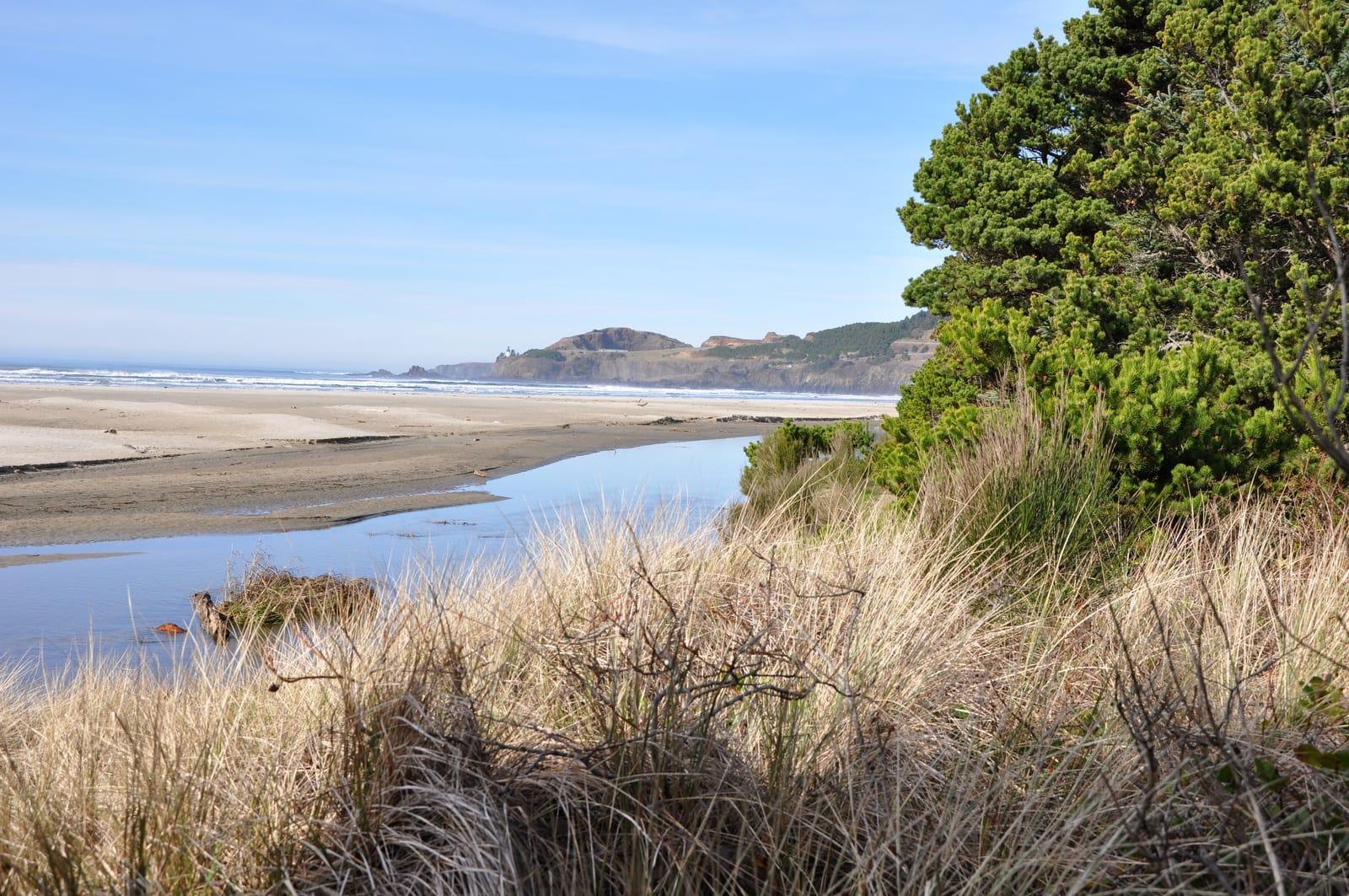
Agate Beach is named for the agates found along the Newport and Yaquina Head shoreline, and Oregon Sea Grant notes that winter storms expose the gravel beds that supply beach agates.
Agate, Moonstone, Jasper, Chalcedony
 Top pick
Lincoln County
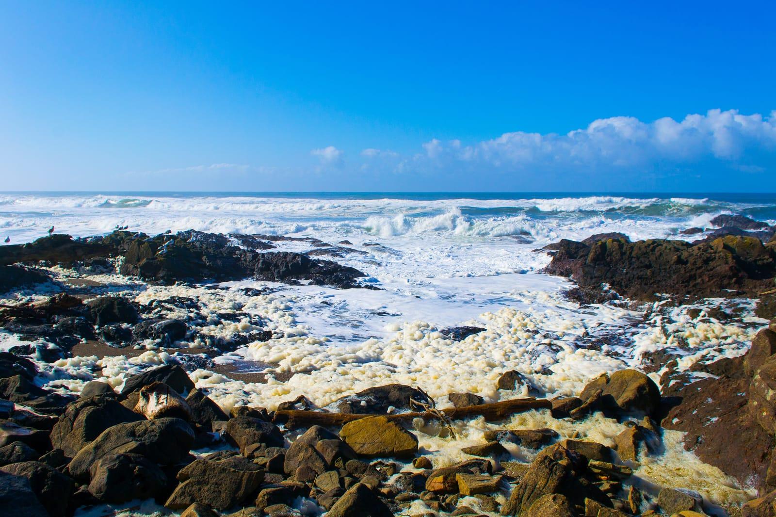
The Yachats beach area sits on Oregon's central coast, where storm-reworked gravel can expose agate, chalcedony, jasper, and related beach material.
Agate, Chalcedony, Jasper, Moonstone
 Top pick
Linn County
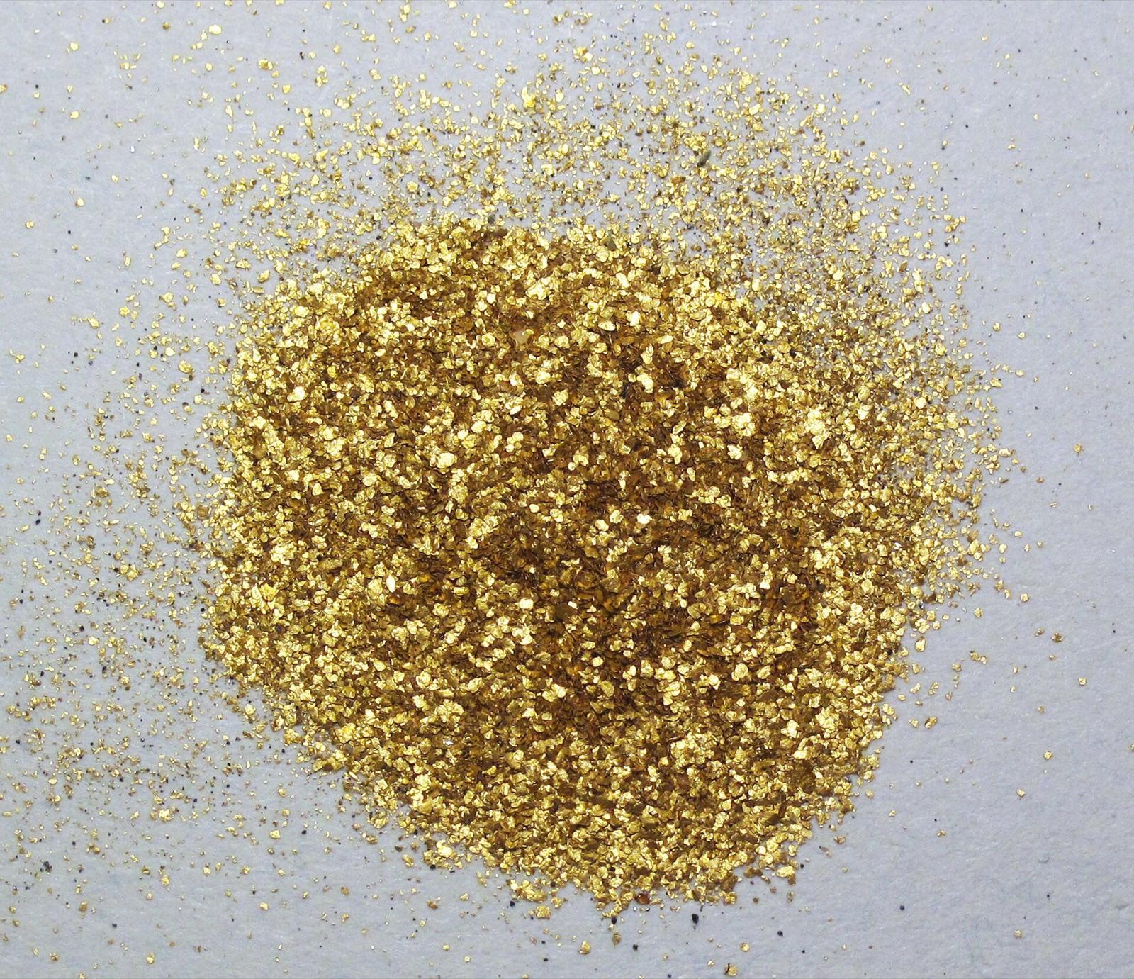
Quartzville Creek runs through a designated recreational mining corridor on BLM public land east of Sweet Home, where a stretch of the Wild and Scenic River is withdrawn from mineral entry but left open to casual prospecting.
Gold, Agate, Jasper, Quartz
 Top pick
Deschutes County
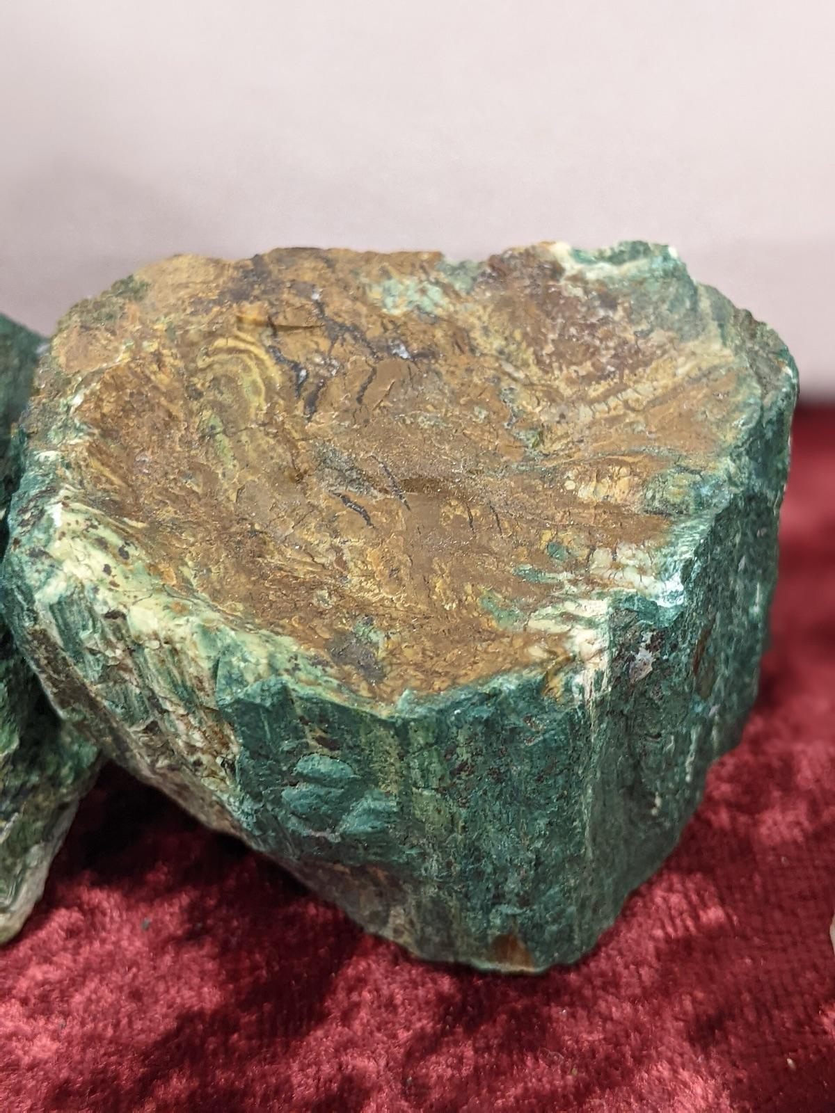
Hampton Butte, north of Brothers in central Oregon, is the classic source of green petrified wood, where Eocene wood was replaced by jasper and chalcedony and tinted by copper and iron minerals.
Petrified Wood, Jasper, Agate, Limb Cast
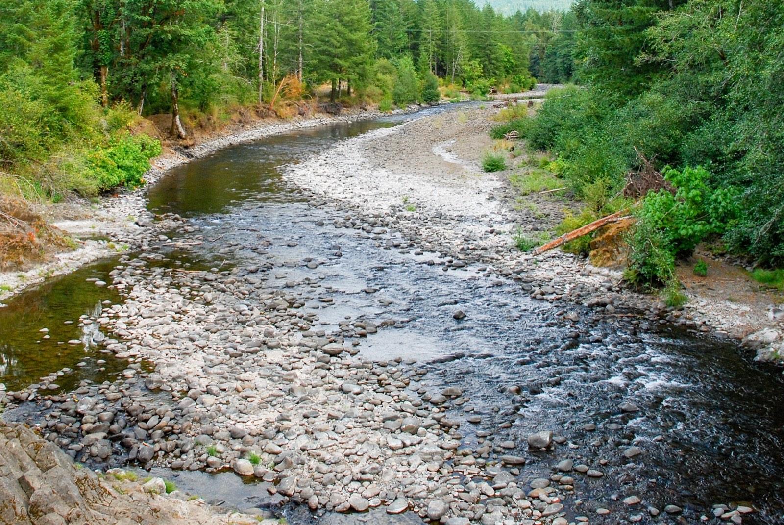 Top pick
Tillamook County
Gravel bars along the Wilson River carry the carnelian, agate, and jasper that the northern Oregon Coast Range is known for, restocked by every winter's high water.
Agate, Carnelian, Jasper
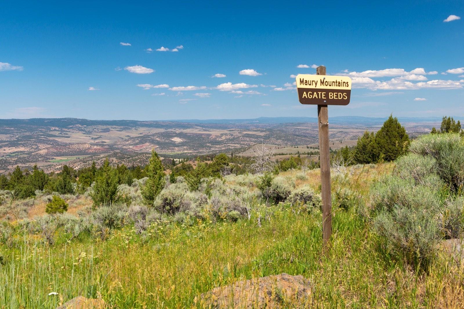 Top pick
Crook County
The Maury Mountains in the Ochoco National Forest hold a long-worked moss agate locality, signed by the Forest Service and open to casual collecting without a permit.
Moss Agate
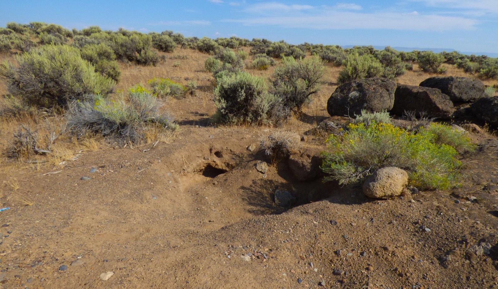 Top pick
Lake County
The Bureau of Land Management set aside this stretch of Rabbit Basin as a free public collection area for Oregon sunstone, the official state gemstone, with no claim, fee, or permit required.
Oregon Sunstone
9 places in Oregon where you pay to dig and keep what you find. Prices and seasons change, so check with the operator before you drive out.
15 clubs in Oregon. Clubs run field trips, shows and workshops, and many trips go to private claims you can't reach alone.
Open the RockHoundR app to see Oregon on a real map with public land overlays, weather, geology, and your saved finds.

