Rockhounding in Alabama

Updated July 2026

29 mapped spots across 12 counties. Alabama produces a wide range of rockhounding-grade material: see the full list of spots, minerals, and access notes below.

Where is the best rockhounding in Alabama?

The best rockhounding in Alabama is at Pegmatite Outcropings in Coosa County (cassiterite, feldspar), Hog Mountain in Tallapoosa County (arsenic, arsenopyrite), and Black Warrior River Mines & Pits in Tuscaloosa County (agate, chalcedony). In total, 29 mapped collecting spots across 12 counties produce quartz, garnet, and fossils, each listed below with coordinates and land access notes.

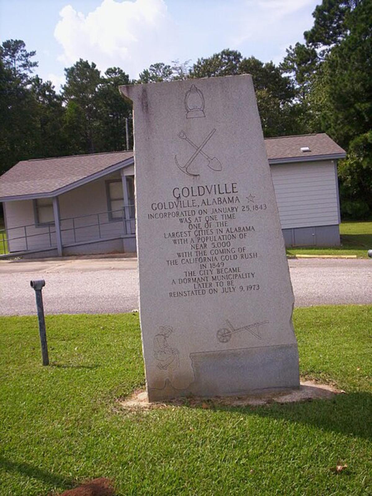
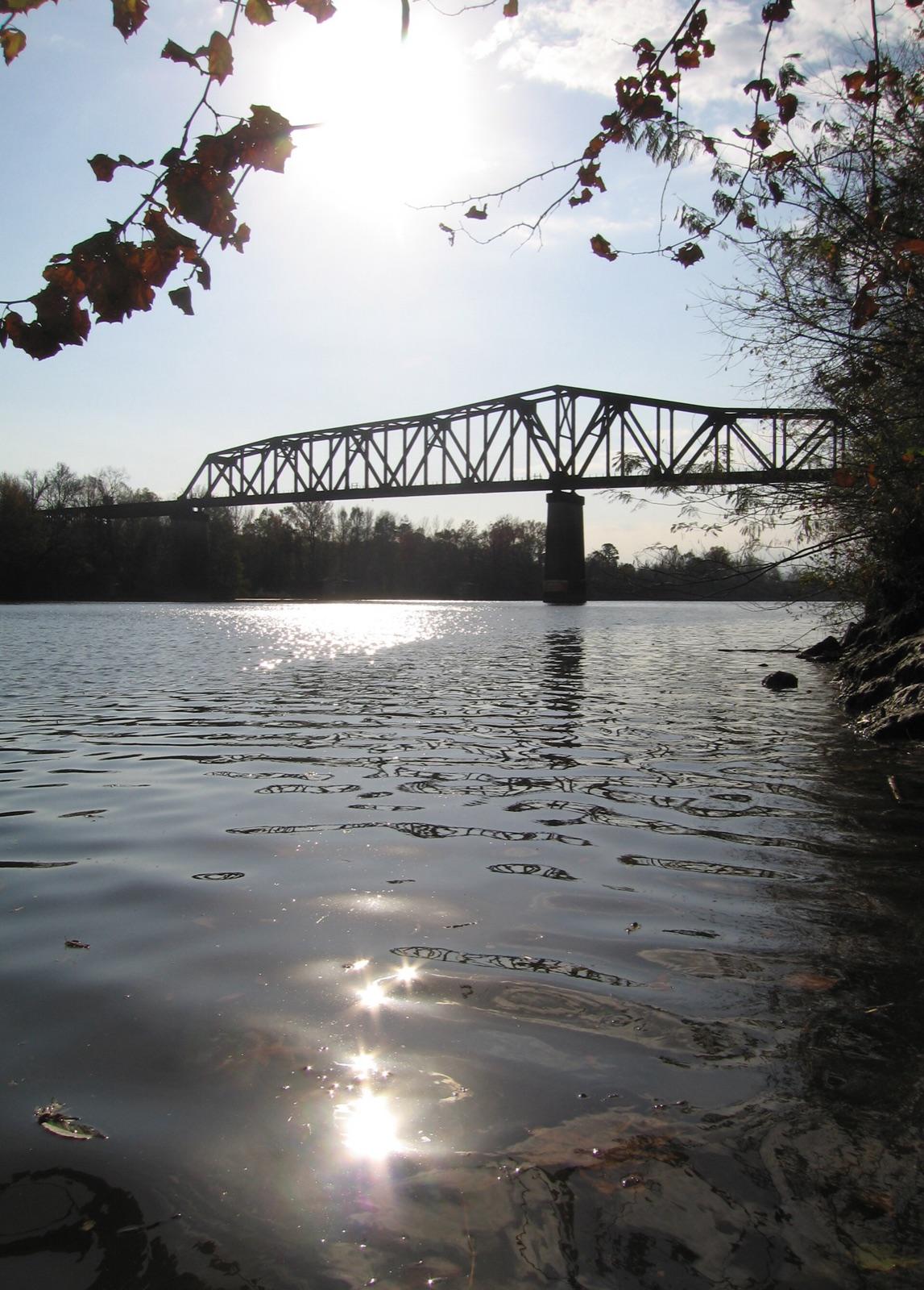
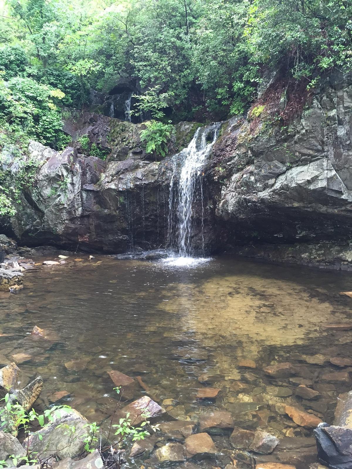
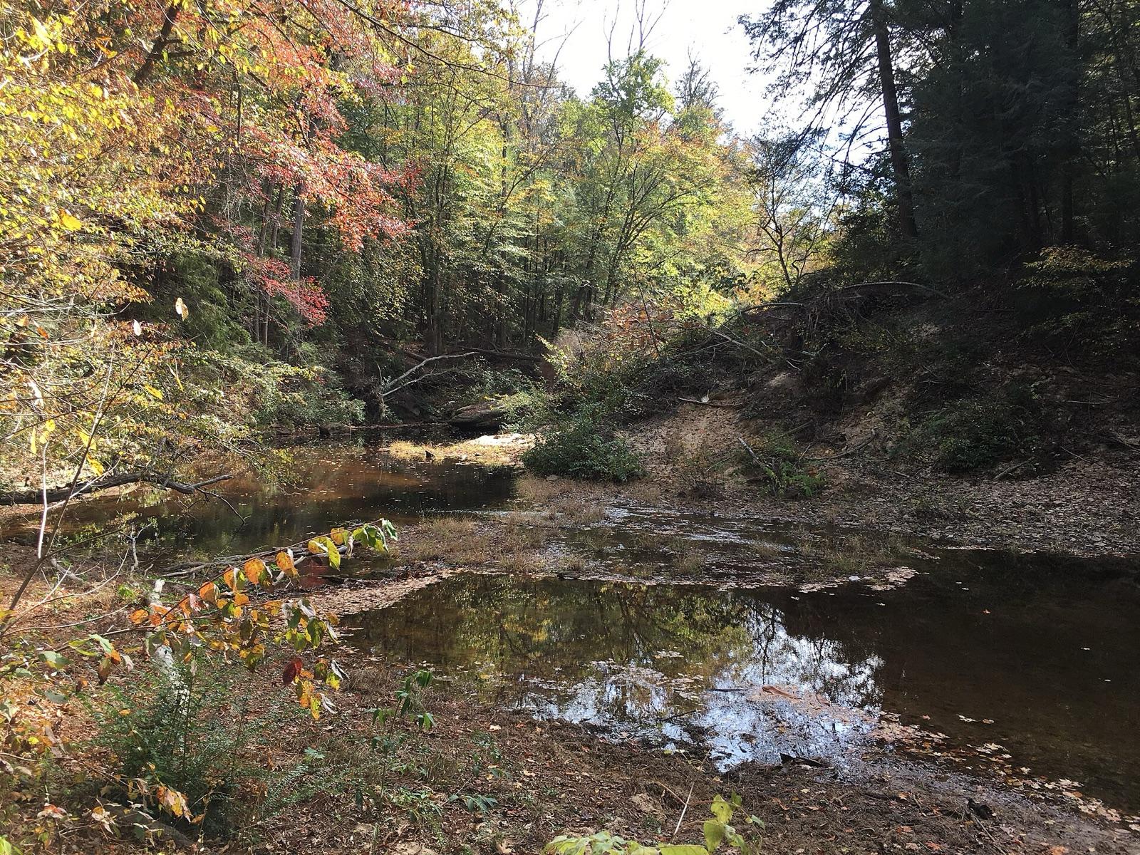
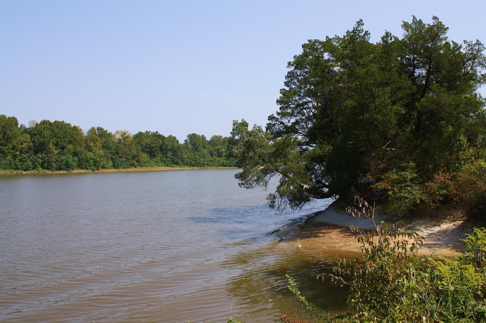
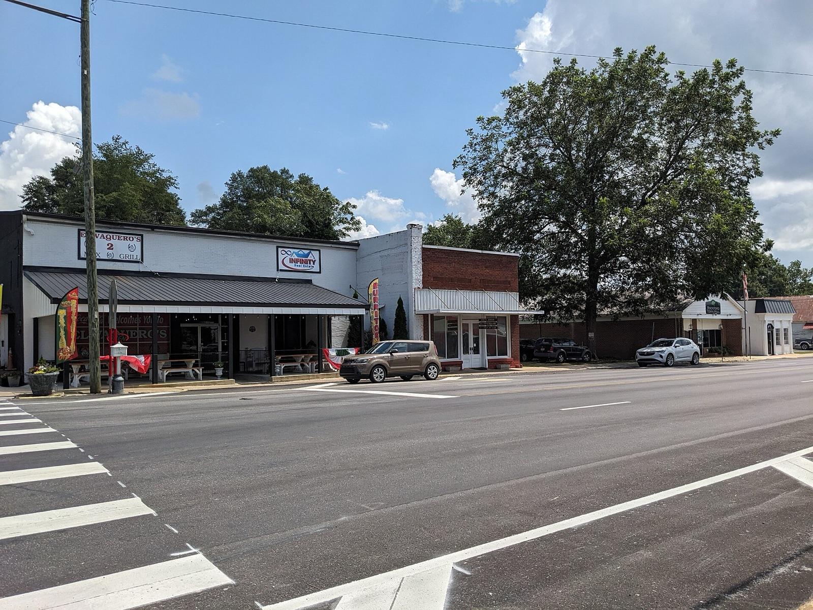
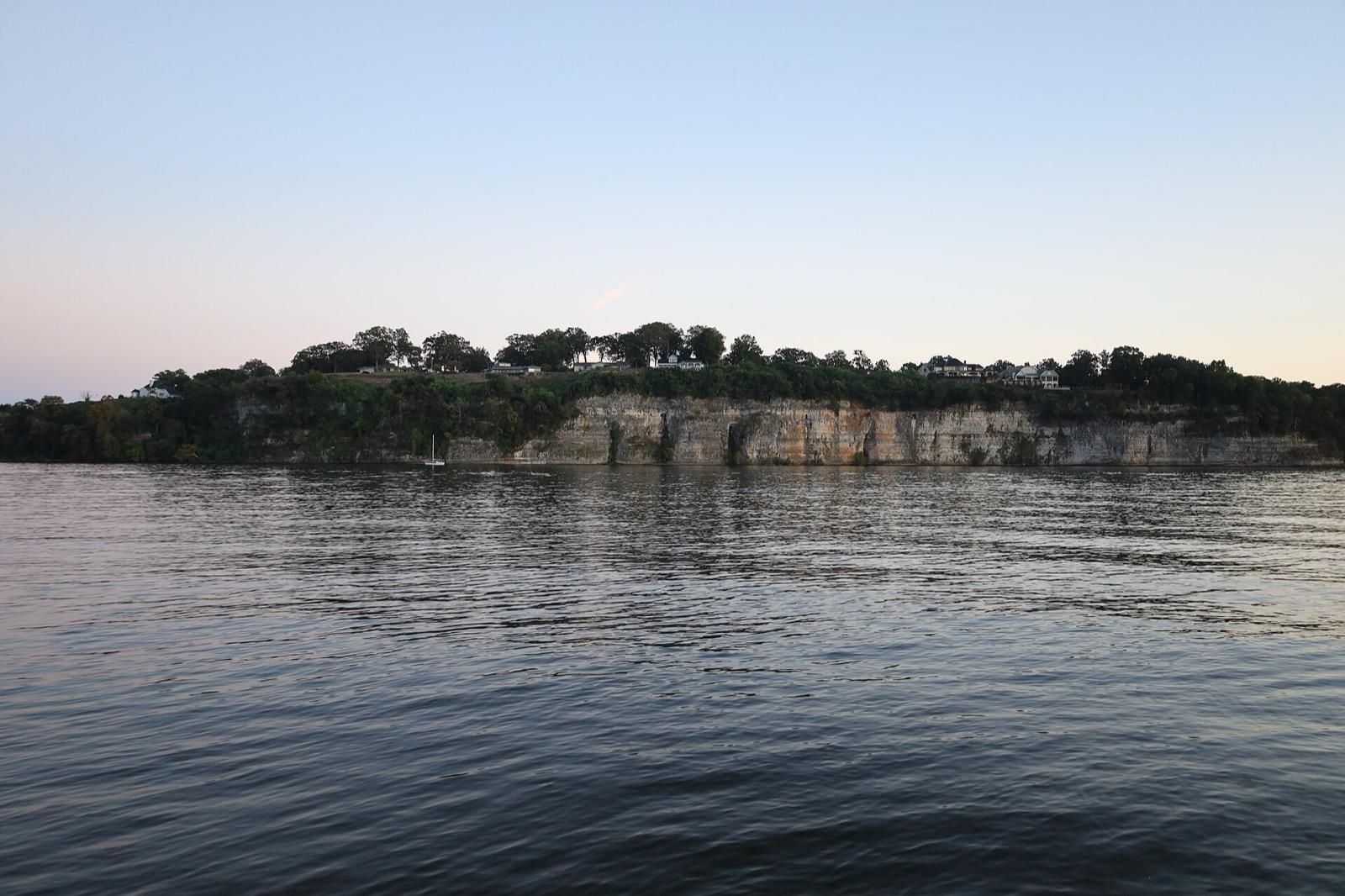
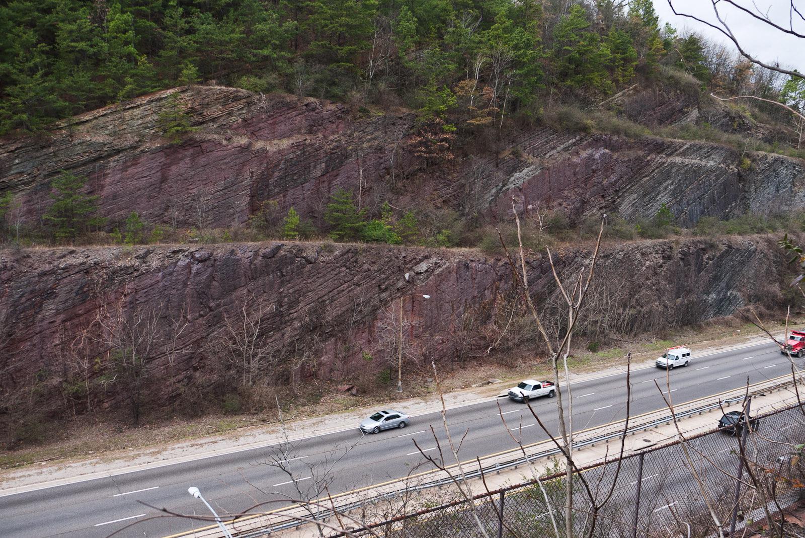
Alabama rockhounding photos

Representative spot and material photos from locations in this state, shown where verified public image records are available.

5 photos

Map showing 29 rockhounding spots in Alabama

Top minerals found in Alabama

Counts reflect how many spots in this list mention each mineral.

Rockhounding near major Alabama cities

Day-trip range. Each section lists the closest mapped rockhounding spots within about 150 miles of the city — most are inside a 2 to 3 hour drive.

Neighboring states with rockhounding

Geology rarely respects state borders. These states share mapped rockhounding country with Alabama — useful when Alabama is the start, not the whole trip. Each card links to the closest county across the line.

Rockhounding by county in Alabama

County pages are linked once we have at least 3 mapped spots for a focused guide with coordinates, mineral notes, and nearby spots.

Top picks in Alabama

10 best spots

Hand-picked standouts from the Alabama list, chosen for unusual mineralogy, documented public access, or both. Each card links to coordinates, access notes, and what to look for.

Every rockhounding spot in Alabama

Sorted by county. Tap coordinates to open in Google Maps, or open RockHoundR for the full map view with land overlays and weather.

SpotCountyMineralsCoordinatesAccess
Shirley MineHazelrig RoadBlount County33.9794, -86.5671Check locally
Bob Lee MineCaldwell RoadClay County33.3359, -85.8715Check locally
Buzzard CreekNewbury's RoadClay County33.3251, -85.9283Check locally
Gibson MineCaldwell RoadClay County33.3420, -85.8864Check locally
Gold Mines Creek (East)Watts Mill RoadClay County33.3547, -85.8820Check locally
Gold Mines Creek (West)Watts Mill RoadClay County33.3537, -85.8833Check locally
M & G MineOak Grove RoadClay County33.3799, -85.7969Check locally
Pleasant Grove ChurchMountain View RoadClay County33.3221, -85.9015Check locally
Pleasant Grove RoadPleasant Grove RoadClay County33.3236, -85.6860Check locally
Talladega National Forest (Shoal Creek)Cleburne County33.6600, -85.6200Public
Tennessee River (Muscle Shoals)Colbert County34.7450, -87.6670Public
Bently Tin MineCoosa County32.8914, -86.2466Check locally
Millsite Tin MineCoosa County32.8997, -86.2063Check locally
Near Pond MineCoosa County32.8891, -86.2378Check locally
Pegmatite OutcropingsCoosa County32.9262, -86.2174Permission
Pond MineCounty Road 18Coosa County32.8945, -86.2558Check locally
Rockford ExcavationsNixburg RoadCoosa County32.8763, -86.2135Check locally
Red Mountain (Birmingham)Jefferson County33.4557, -86.8497Public
Tuskegee National ForestMacon County32.4800, -85.6200Public
Demopolis (Black Belt)Marengo County32.5180, -87.8360Public
Sylacauga Marble BeltTalladega County33.1735, -86.2519Public
Hog MountainTallapoosa County33.0759, -85.8497Permission
Lake Martin OutcropsTallapoosa County32.8075, -85.8961Check locally
River Near Lake MartinTallapoosa County32.6252, -85.8914Check locally
Black Warrior River Mines & PitsRocky Branch RoadTuscaloosa County33.2784, -87.3994Public
Brookwood Strip MinesRocky Branch RoadTuscaloosa County33.2615, -87.3875Check locally
Tuscaloosa Rockhounding AreaEbenezer LaneTuscaloosa County33.0851, -87.5508Check locally
Tuscaloosa Rockhounding Area (Petrified Wood)AL 216Tuscaloosa County33.2267, -87.4265Check locally
Bankhead National ForestWinston County34.2800, -87.4000Public

Alabama rockhounding FAQ

Is rockhounding legal in Alabama?+
Casual hand collecting is allowed on most BLM and U.S. Forest Service land in Alabama, with daily and annual limits set by the managing field office. National parks, most state parks, and tribal lands are off-limits. Always confirm rules with the local agency before a trip.
What rocks and minerals can you find in Alabama?+
Alabama spots in this list most commonly produce Quartz, Garnet, Fossils, Tourmaline, Gold. The full list across all spots is broader.
How many rockhounding sites are in Alabama?+
RockHoundR currently lists 29 rockhounding spots in Alabama across 12 counties. Many more exist; the app keeps your private finds saved alongside the public ones.
Can I take rocks home from Alabama public land?+
On most BLM and Forest Service land, recreational hand collecting of common rocks and minerals is allowed in reasonable amounts. Vertebrate fossils, archaeological items, and posted mining-claim minerals are not. Check the field office for current limits.

Map every Alabama spot in the app

Open the RockHoundR app to see Alabama on a real map with public land overlays, weather, geology, and your saved finds.

Download on the App StoreGet it on Google Play