
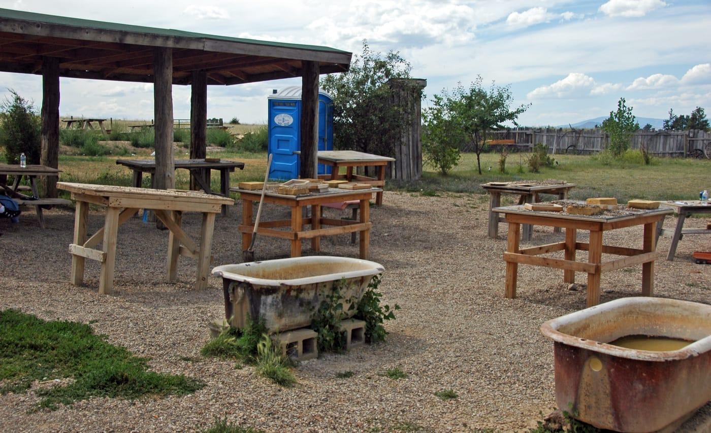
Sapphire country (Rock Creek, Gem Mountain, Eldorado Bar)
Pay-to-dig sapphire mines around Philipsburg and Helena. The Yogo dike near Utica is patented and closed to the public; surrounding gravels are sometimes open.
Updated October 2026
106 mapped spots for rock hunting and rock collecting across 32 counties. Montana is known for sapphires, Yogo and otherwise, and for Montana moss agate along the Yellowstone River. Fossils, garnet, quartz, and mine-dump minerals round out the main collecting list.
The best rockhounding in Montana is at Calvert Hill Mine in Beaverhead County (scheelite, garnet), Rock Creek in Granite County (quartz, sapphire), and Ruby River in Madison County (almandine garnet). In total, 106 mapped collecting spots across 32 counties produce gold, chalcedony, and jasper, each listed below with its land access.
 Best spotAmerican BarLewis and Clark County, MontanaPublic access · Sapphire, Cassiterite, Chalcedony +5
 Best spotPryor MountainsBig Horn County, MontanaPermission required · Fossil, Agate, Chalcedony +2Best spotButteSilver Bow County, MontanaPublic access · Bornite, Pisanite, Rhodochrosite +1Best spotCalvert Hill MineBeaverhead County, MontanaPublic access · Scheelite, Garnet, Aquamarine +1Best spotYellowstone River (Billings area)Yellowstone County, MontanaPublic access · Montana Agate, Chalcedony, Chert +1Best spotCrystal Mountain MineRavalli County, MontanaPublic access · White Fluorite, Green Fluorite, Purple FluoriteBest spotGlendiveDawson County, MontanaPublic access · Agate, Jasper, Moss OpalBest spotRock CreekGranite County, MontanaPublic access · Quartz, SapphireBest spotDry Cottonwood CreekDeer Lodge County, MontanaPublic access · SapphireBest spotRuby RiverMadison County, MontanaPublic access · Almandine Garnet
 Missouri RiverLewis and Clark County, MontanaPublic access · Cassiterite, Chalcedony, Garnet +5LibbyLincoln County, MontanaPublic access · Aegirine, Asbestos, Vermiculite +3
 Big Horn CanyonBig Horn County, MontanaPermission required · Agate, Chalcedony, Jasper +2PioneerPowell County, MontanaPublic access · Gold, Calcite, Chalcopyrite +2Pole CreekMadison County, MontanaPermission required · Garnet, Gold, Quartz +2Yellowstone RiverPark County, MontanaPublic access · Agate, Montana Agate, Moss Agate +2CarbellaPark County, MontanaPublic access · Agate, Jasper, Petrified Wood +1Jefferson RiverMadison County, MontanaPublic access · Agate, Chalcedony, Jasper +1MinerPark County, MontanaPublic access · Agate, Chalcedony, Jasper +1Mount BlackmoreGallatin County, MontanaPublic access · Agate, Chalcedony, Hyalite Opal +1NeihartCascade County, MontanaPublic access · Galena, Polybasite, Silver +1WhitehallJefferson County, MontanaPublic access · Galena, Gold, Sphalerite +1Yellowstone River - Black Bridge Boat LaunchDawson County, MontanaPublic access · Montana Moss Agate, Petrified Wood, Jasper +1Yellowstone River - Blue Creek AccessYellowstone County, MontanaPublic access · Montana Moss Agate, Petrified Wood, Jasper +1Yellowstone River - Bratten Fishing AccessSweet Grass County, MontanaPublic access · Montana Moss Agate, Petrified Wood, Jasper +1Yellowstone River - Bundy Bridge Fishing AccessYellowstone County, MontanaPublic access · Montana Moss Agate, Petrified Wood, Jasper +1Yellowstone River - Holmgren Fishing AccessStillwater County, MontanaPublic access · Montana Moss Agate, Petrified Wood, Jasper +1Yellowstone River - Laurel Sportsman AccessYellowstone County, MontanaPublic access · Montana Moss Agate, Petrified Wood, Jasper +1Yellowstone River - Myers Bridge AccessTreasure County, MontanaPublic access · Montana Moss Agate, Petrified Wood, Jasper +1Yellowstone River - Pelican Fishing AccessSweet Grass County, MontanaPublic access · Montana Moss Agate, Petrified Wood, Jasper +1Yellowstone River - Rosebud AccessRosebud County, MontanaPublic access · Montana Moss Agate, Petrified Wood, Jasper +1Bismark MineMadison County, MontanaPublic access · Molybdenite, Pyrite, ChalcopyriteBlack Pine MineGranite County, MontanaPublic access · Pyromorphite, Scheelite, StolziteEnnisMadison County, MontanaPublic access · Andalusite, Kyanite, SillimaniteFrying Pan BasinBeaverhead County, MontanaPublic access · Corundum, Opalized Wood, Silicified WoodJardinePark County, MontanaPublic access · Arsenic, Gold, TungstenLanduskyPhillips County, MontanaPublic access · Gold, Pyrolusite, MalachitePhillipsburgGranite County, MontanaPublic access · Chrysocolla, Rhodochrosite, OreTerryPrairie County, MontanaPublic access · Petrified Wood, Chalcedony, JasperWickes & ClancyJefferson County, MontanaPublic access · Arsenopyrite, Cerussite, GoldWinstonBroadwater County, MontanaPublic access · Lead, Silver, ZincYogo GulchJudith Basin County, MontanaPublic access · Gold, Ruby, SapphireBasinJefferson County, MontanaPublic access · Silver, GoldBear CanyonCarbon County, MontanaPublic access · Geode, AgateCable MountainLincoln County, MontanaPublic access · Scheelite, EpidoteCorbinJefferson County, MontanaPublic access · Arsenopyrite, CerussiteCrystal ParkBeaverhead County, MontanaFee dig · Amethyst, Smoky QuartzElkhorn MountainJefferson County, MontanaPublic access · Magnetite, HematiteFinnegan RidgeMadison County, MontanaPermission required · Chert, JasperFrombergCarbon County, MontanaPublic access · Coal, PyriteGardinerPark County, MontanaPublic access · Arsenopyrite, GoldGeorgetownDeer Lodge County, MontanaPublic access · Gold, ChrysocollaHorseshoe HillsGallatin County, MontanaPublic access · Shale, Trilobite FossilPipestoneJefferson County, MontanaPublic access · Amethyst, QuartzPipestone MineJefferson County, MontanaPermission required · Vesuvianite, Grossular GarnetRadersburgBroadwater County, MontanaPublic access · Gold, SilverSalesvilleGallatin County, MontanaPublic access · Emery, CorundumSpokane Bar Sapphire MineLewis and Clark County, MontanaPublic access · Gold, SapphireSylvaniteLincoln County, MontanaPublic access · Gold, PyriteVirginia CityMadison County, MontanaPublic access · Garnet, GoldAlzadaCarter County, MontanaPublic access · BentoniteArgentaBeaverhead County, MontanaCheck locally · SilverBakers HoleGallatin County, MontanaPermission required · AgateBear Paw MountainsHill County, MontanaPublic access · ColumbiteBlaze N GemsLewis and Clark County, MontanaFee dig · SapphireBrown’s GulchSilver Bow County, MontanaPublic access · SapphireBrown’s LakePowell County, MontanaPermission required · ScheeliteCedar Creek and Trout CreekMineral County, MontanaPublic access · GoldConfederate GulchBroadwater County, MontanaPublic access · GoldCracker Box CreekDawson County, MontanaPublic access · Montana AgateCuster CountyCuster County, MontanaPublic access · Montana AgateFallonPrairie County, MontanaPublic access · Montana AgateFrench CreekDeer Lodge County, MontanaPublic access · GoldGem MountainMadison County, MontanaFee dig · SapphireGem Mountain Sapphire MineGranite County, MontanaPublic access · SapphireGiltedgeFergus County, MontanaPublic access · GoldGoldcreekPowell County, MontanaPublic access · GoldGrasshopper CreekBeaverhead County, MontanaPublic access · DiamondGravelly RangeMadison County, MontanaPublic access · OnyxHatchet CreekPrairie County, MontanaPublic access · Montana AgateHelenaLewis and Clark County, MontanaPublic access · GoldHomestake PassJefferson County, MontanaPublic access · Smoky QuartzHyshamTreasure County, MontanaPublic access · Moss AgateIndian Creek RoadMadison County, MontanaPublic access · CalciteJack CreekJefferson County, MontanaPublic access · DumortieriteLivingstonPark County, MontanaPublic access · Agatized WoodLost CreekDeer Lodge County, MontanaPermission required · AmazoniteMagpie GulchLewis and Clark County, MontanaPublic access · Green SapphireManhattanGallatin County, MontanaPublic access · OnyxMill CanyonMadison County, MontanaPublic access · TourmalineMonarchCascade County, MontanaPublic access · BerylNarrow Gauge GulchCascade County, MontanaPublic access · PyromorphiteNinemile CreekMissoula County, MontanaPublic access · GoldOld Nye Picnic AreaStillwater County, MontanaCheck locally · SilverRader CreekJefferson County, MontanaPublic access · Smoky QuartzRed Rock Mine & Garnet GalleryMadison County, MontanaFee dig · GarnetRuby DamMadison County, MontanaPublic access · GarnetSand CreekDawson County, MontanaPublic access · Montana AgateSouth Boulder RiverMadison County, MontanaPublic access · QuartzSulaRavalli County, MontanaPublic access · Green BerylToll MountainJefferson County, MontanaPublic access · Limonite CubeVaughnCascade County, MontanaPublic access · Silicified WoodWhite Cloud MineRavalli County, MontanaPublic access · BerylWhite CreekMeagher County, MontanaPublic access · CopperWhitehouse CampgroundJefferson County, MontanaCheck locally · BariteGem Mountain Sapphire MineGranite County, MontanaFee dig
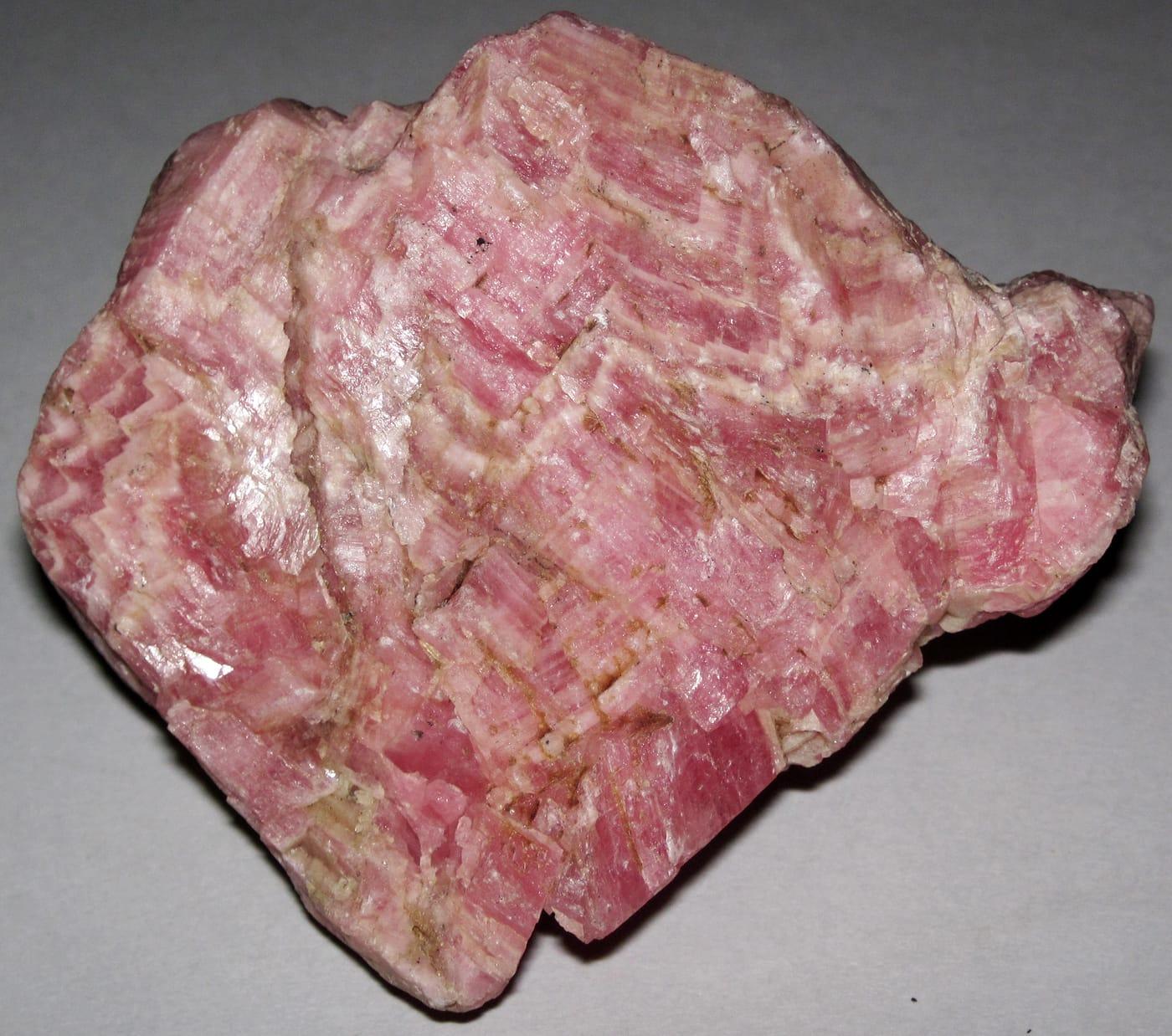
Representative spot and material photos from locations in this state, shown where verified public image records are available.
Counts reflect how many spots in this list mention each mineral.
Notable areas: Yellowstone moss agate, Rock Creek and Gem Mountain sapphires, Crazy Mountain agate, and Madison County garnet are common Montana targets.
Four big collecting stories shape Montana: the Yogo dike and surrounding sapphire-bearing alluvials (Rock Creek, Dry Cottonwood, Eldorado Bar), the Yellowstone River moss agate gravels east of Billings, the Crazy Mountains agate beds, and the Cretaceous fossil country of the Hell Creek Formation (vertebrate fossils are federally protected, invertebrates and plant fossils are mostly collectible).
Pay-to-dig sapphire mines around Philipsburg and Helena. The Yogo dike near Utica is patented and closed to the public; surrounding gravels are sometimes open.
Montana moss agate in gravel bars along the Yellowstone from Custer County to the North Dakota line. Surface collecting on BLM and unposted river bars.
Bridger Range fossils, Crazy Mountains banded agates, and quartz crystals in pockets. USFS land covers much of the higher country.
Cretaceous fossils, vertebrate finds are federal property and not collectible; ammonites, leaves, and petrified wood are legal in personal-use amounts on BLM.
May–October. The Yellowstone gravels are easiest in late summer when river levels drop and expose fresh bars. Sapphire mines open Memorial Day to late September.
Sapphire digs: the mines supply concentrates and screens; bring a tray and tweezers. Yellowstone moss agate: a small backpack and a stiff rake for working pebble bars. Eastern Montana: 4WD and full water, services are far apart.
Yogo sapphire was discovered in 1894 by prospectors who first thought the cornflower-blue stones were worthless. The Yogo dike has produced more than $25 million in sapphires; it is currently inactive but the deposit is patented private property and closed to public collecting.
Day-trip range. Each section lists the closest mapped rockhounding spots within about 150 miles of the city. Most are inside a 2 to 3 hour drive.
6 closest spots to Billings, MT.
6 closest spots to Missoula, MT.
6 closest spots to Great Falls, MT.
Geology rarely respects state borders. These states share mapped rockhounding country with Montana, useful when Montana is the start, not the whole trip. Each card links to the closest county across the line.
County pages are linked once we have at least 3 mapped spots for a focused guide with coordinates, mineral notes, and nearby spots.
Hand-picked standouts from the Montana list, chosen for unusual mineralogy, documented public access, or both. Each card links to coordinates, access notes, and what to look for.
 Top pick
Beaverhead County
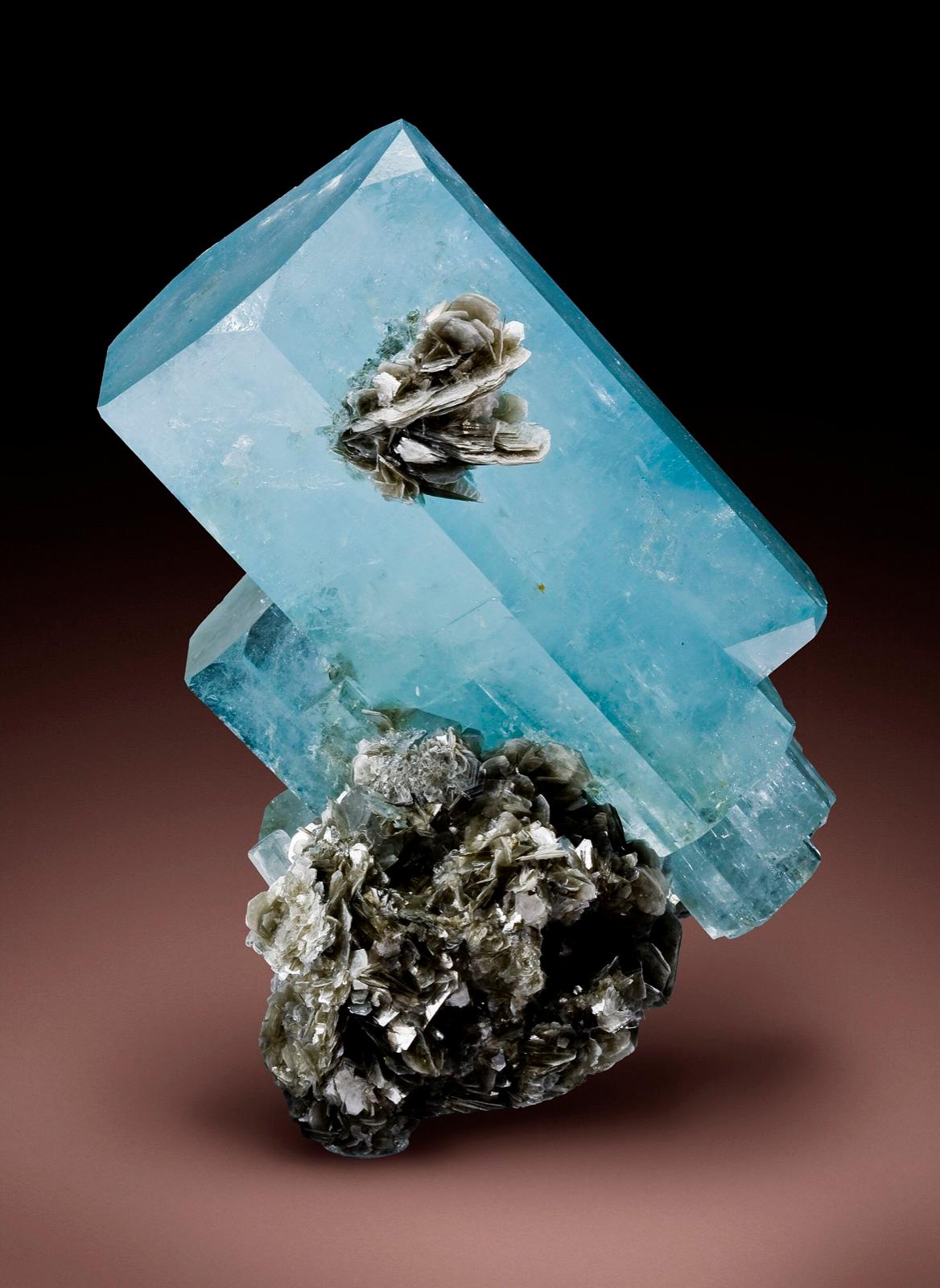
Calvert Hill Mine adds a tungsten-skarn flavor to the Montana list, with Mindat describing a surface mine in Cambrian Meagher Formation limestone and listing scheelite, garnet, beryl var.
Scheelite, Garnet, Aquamarine, Tungsten
 Top pick
Granite County
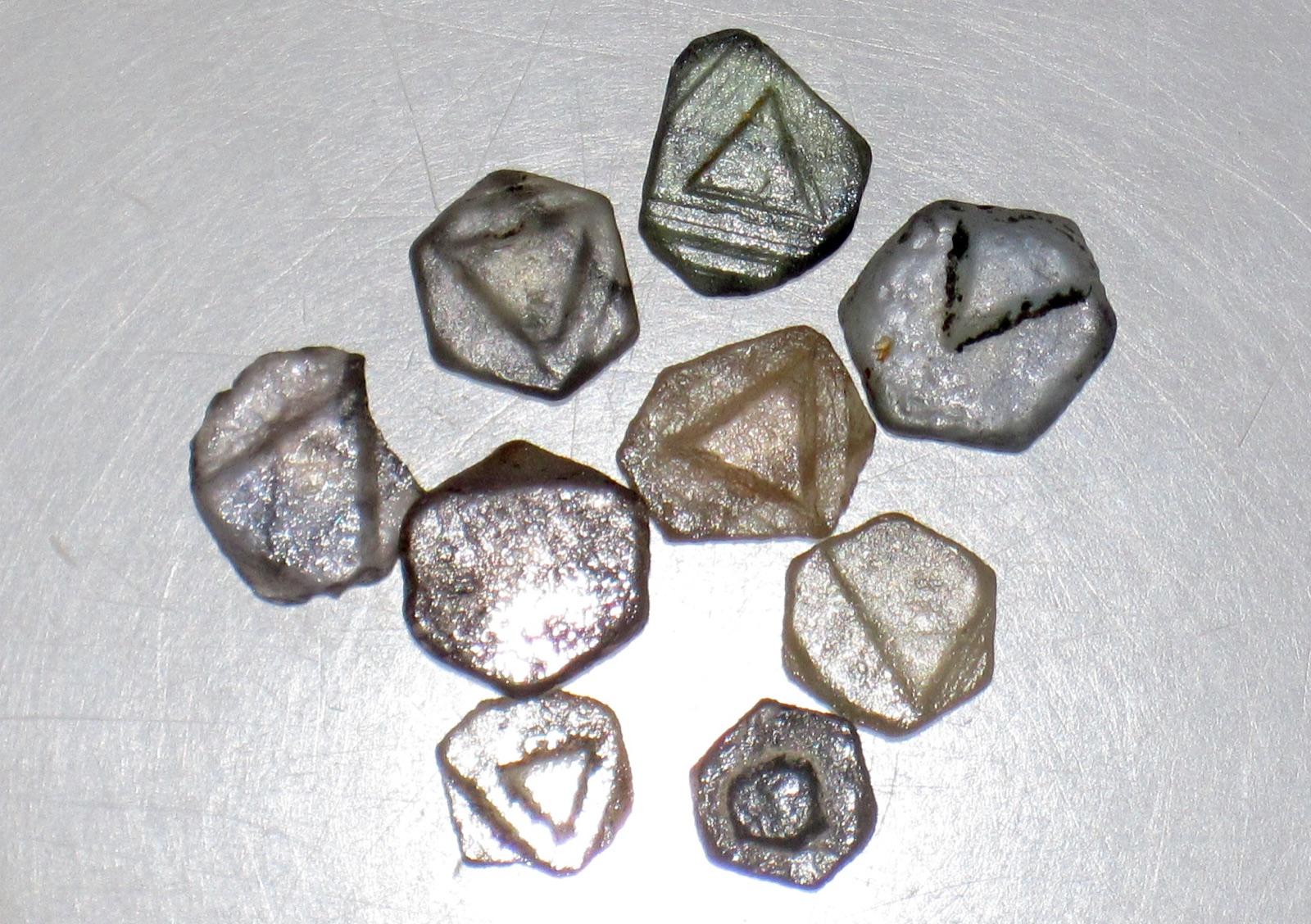
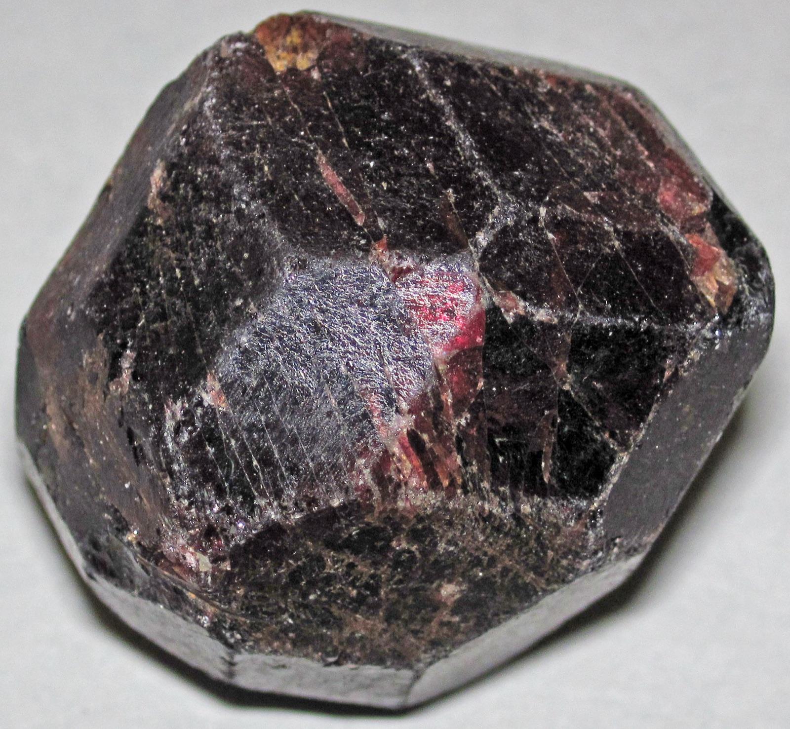
Rock Creek is one of Montana's four classic sapphire districts, documented by USGS and GIA alongside the Missouri River, Dry Cottonwood Creek, and Yogo Gulch.
Quartz, Sapphire
 Top pick
Madison County
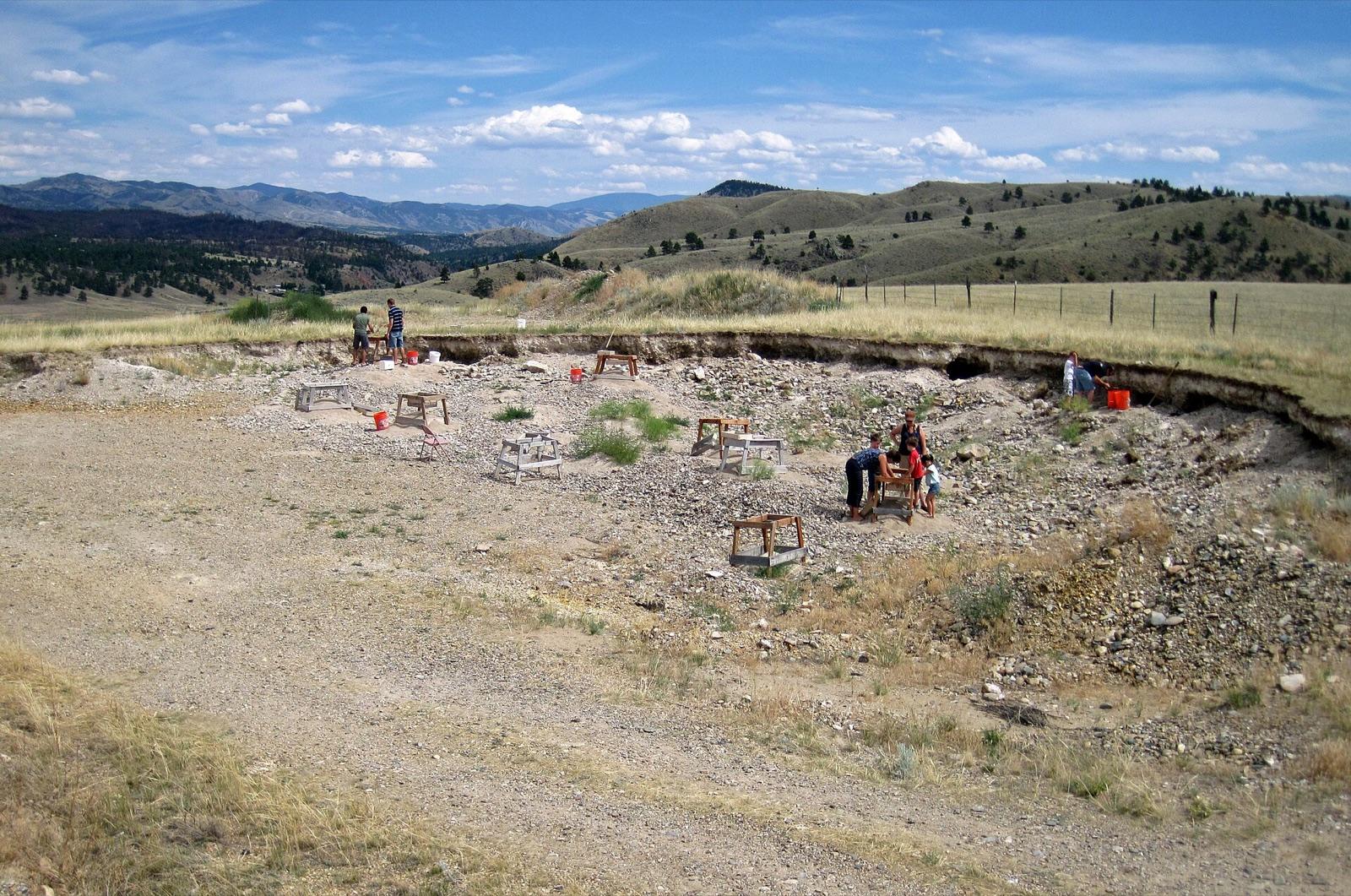
Ruby River is Montana's clearest garnet-focused pick in this candidate set, with nearby Mindat records listing almandine and broader Madison County garnet occurrences.
Almandine Garnet
 Top pick
Deer Lodge County
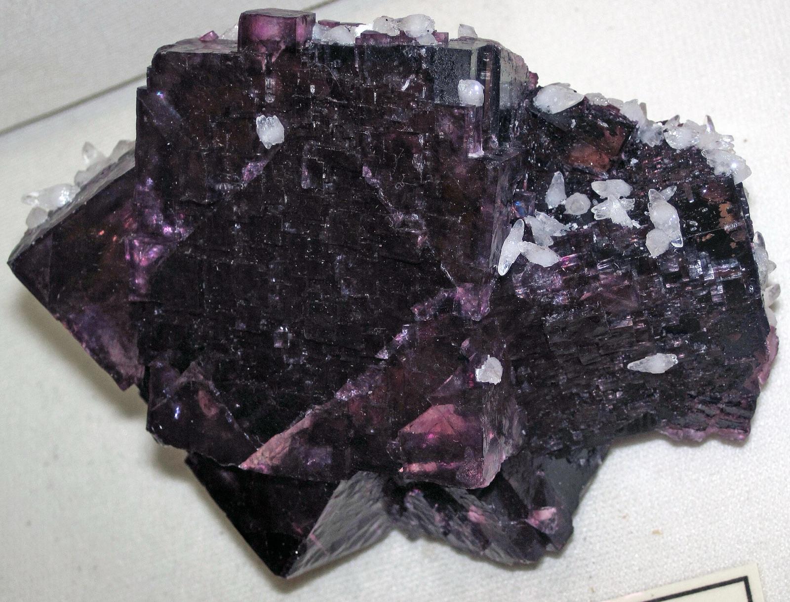
Dry Cottonwood Creek is one of the historic Montana sapphire fields named by USGS and GIA, discovered after the Missouri River bars and before Rock Creek and Yogo Gulch.
Sapphire
 Top pick
Ravalli County
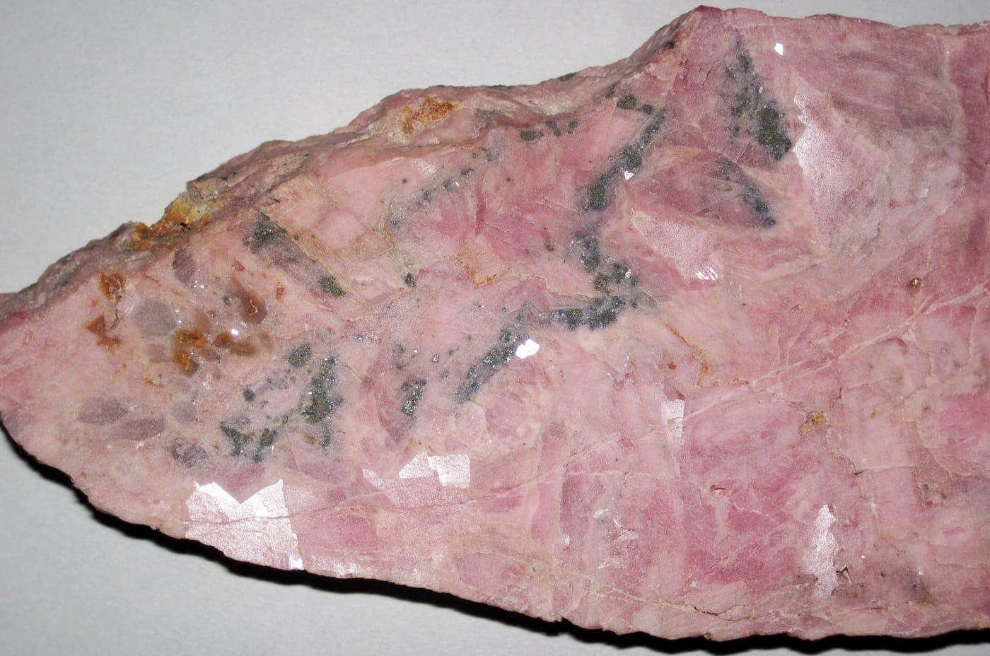
Crystal Mountain Mine is a focused fluorite locality, with Mindat tying the Ravalli County site to the Crystal Mountain Fluorspar Mine and listing fluorite with quartz and accessory phosphate and silicate minerals nearby.
White Fluorite, Green Fluorite, Purple Fluorite
 Top pick
Silver Bow County
Butte is Montana's heavyweight ore-mineral locality, with MBMG and USGS work documenting complex copper, silver, manganese, and related vein mineralogy in the district.
Bornite, Pisanite, Rhodochrosite, Rhodonite
 Top pick
Big Horn County
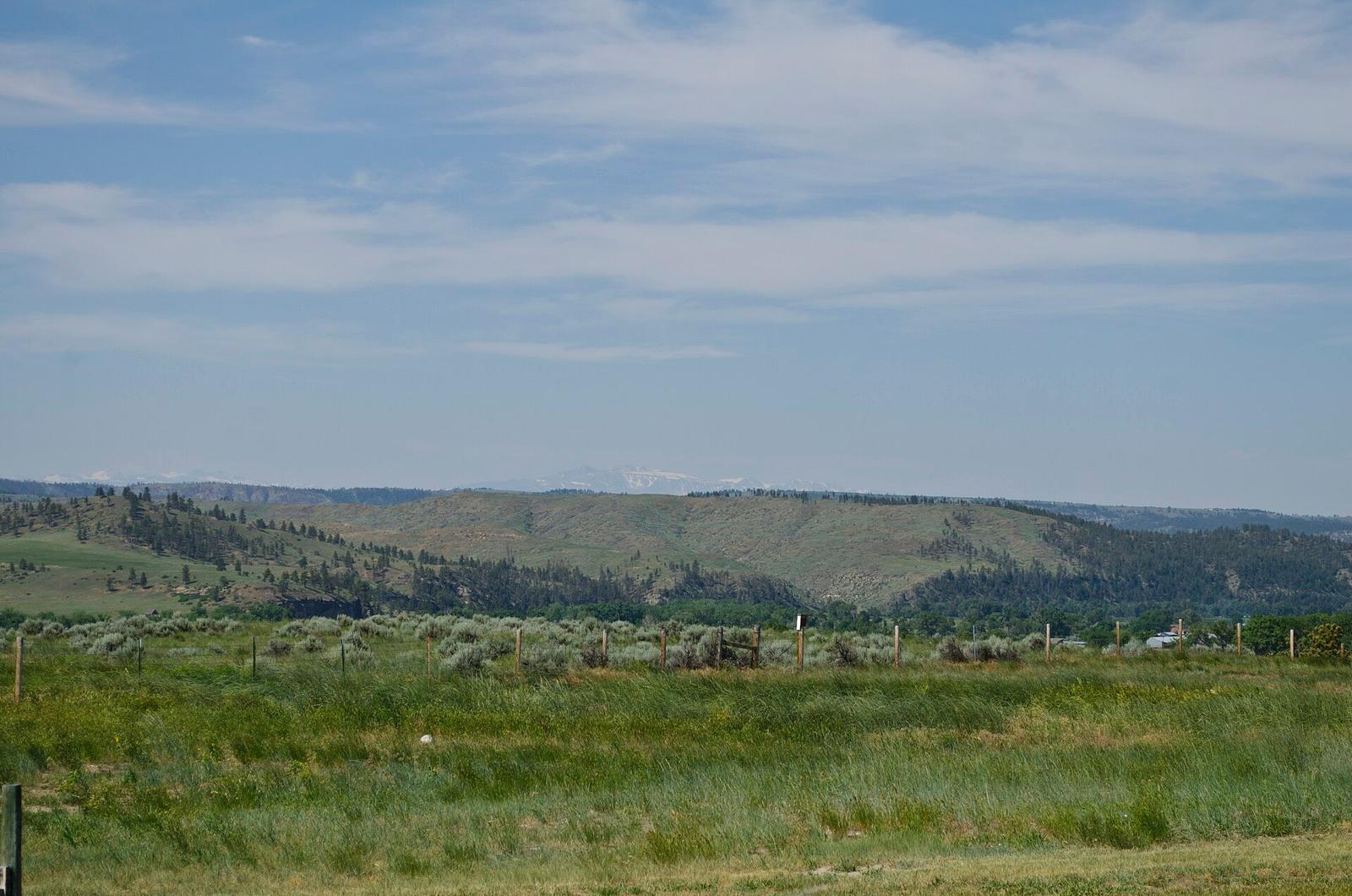
The Pryor Mountains stand out for Dryhead-style agate, with Mindat listing agate and chalcedony from the range and a named Dryhead Agate Mine in the Bighorn River area.
Fossil, Agate, Chalcedony, Jasper
 Top pick
Lewis and Clark County
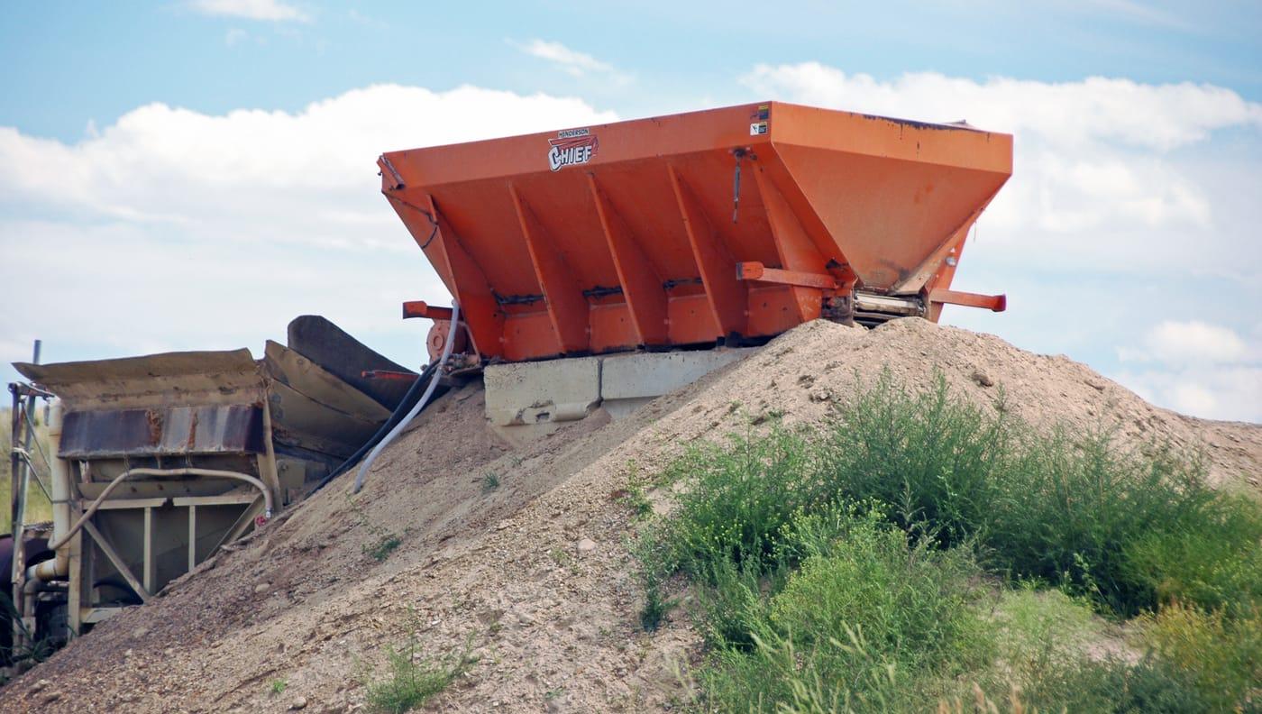
American Bar belongs to the upper Missouri River sapphire province, where GIA traces gem-quality sapphire mining back to 1865.
Sapphire, Cassiterite, Chalcedony, Garnet
 Top pick
Yellowstone County
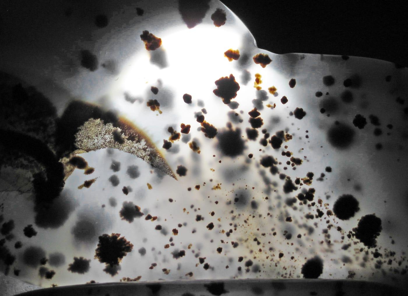
The Billings reach of the Yellowstone River is a benchmark Montana agate setting, where river gravels carry chalcedony, jasper, chert, and dendritic moss agate.
Montana Agate, Chalcedony, Chert, Jasper
 Top pick
Dawson County
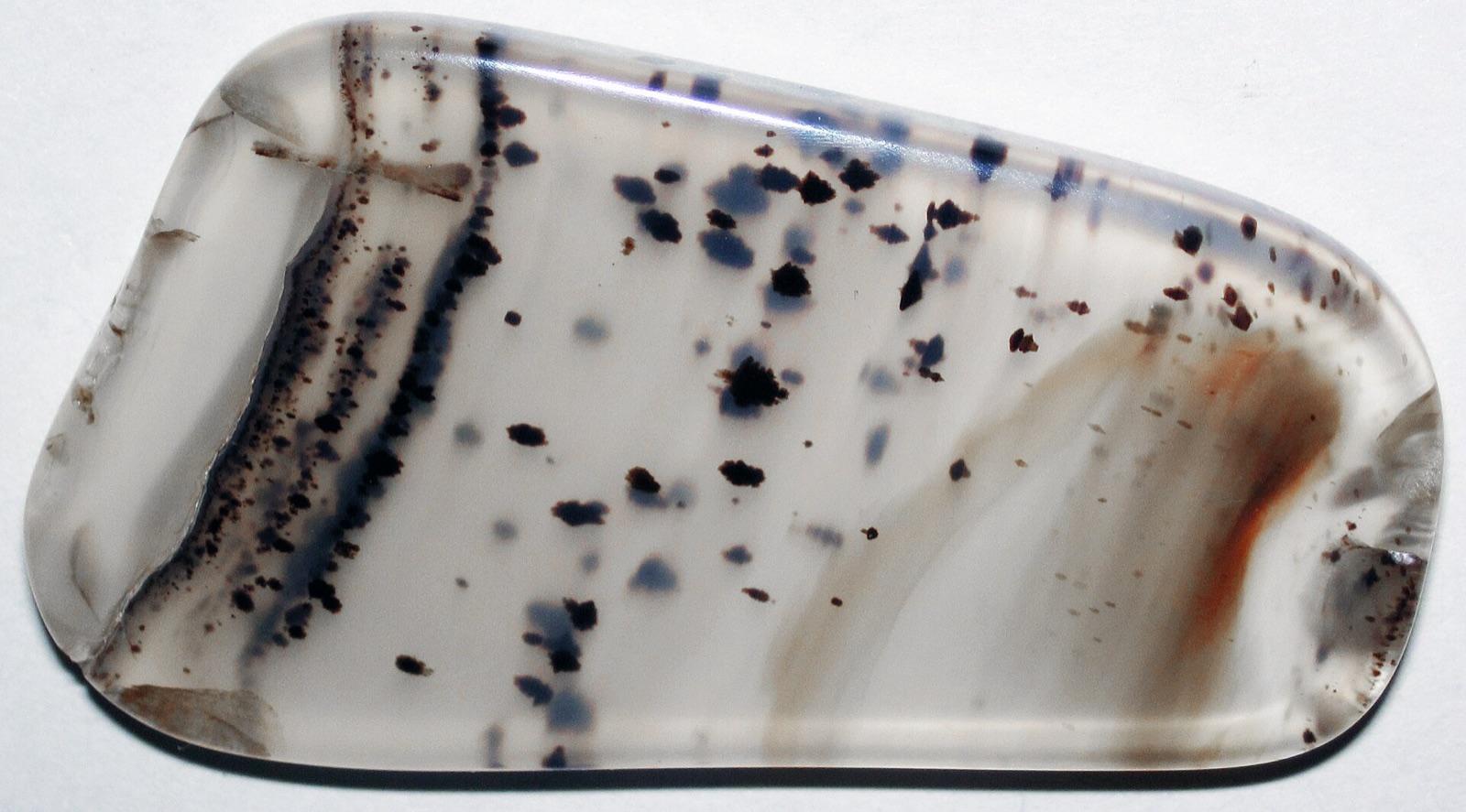
Glendive sits in eastern Montana's Yellowstone River agate belt, where gravel bars and nearby breaks are known for agate, jasper, and petrified-wood style silica material.
Agate, Jasper, Moss Opal
5 places in Montana where you pay to dig and keep what you find. Prices and seasons change, so check with the operator before you drive out.
5 clubs in Montana. Clubs run field trips, shows and workshops, and many trips go to private claims you can't reach alone.
Open the RockHoundR app to see Montana on a real map with public land overlays, weather, geology, and your saved finds.

