
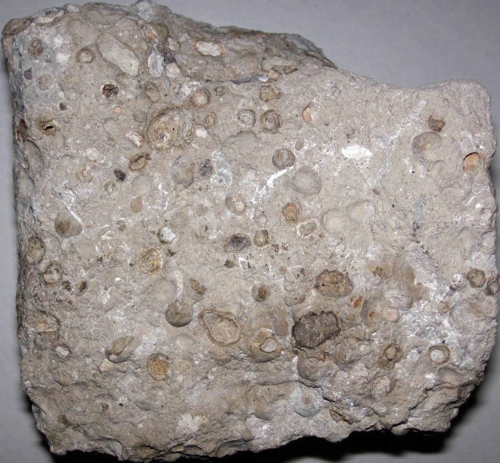
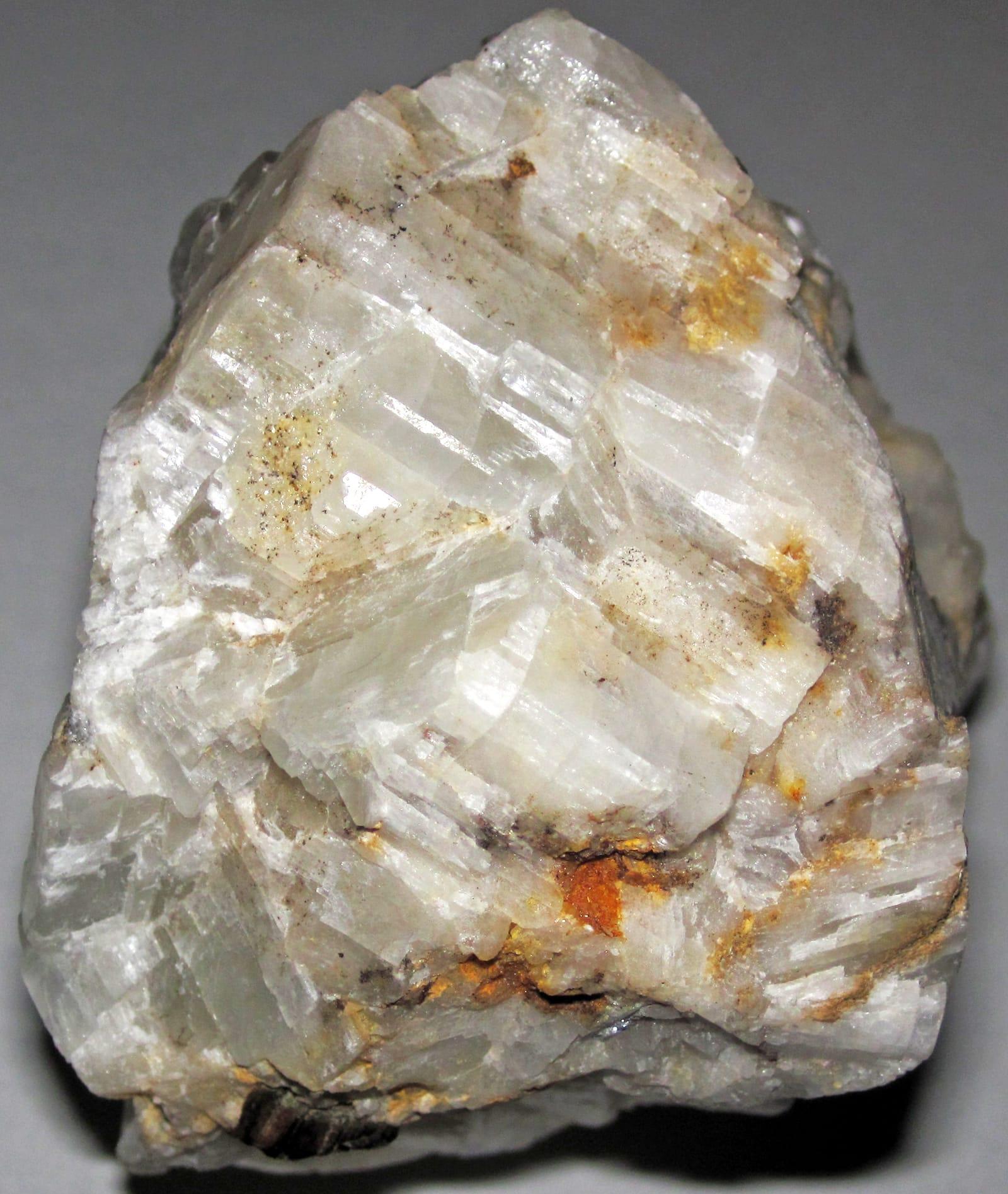
Ouachita Mountains (Mount Ida, Jessieville, Hot Springs)
Hundreds of quartz pockets along the Crystal Belt. Pay-to-dig mines (Ron Coleman, Wegner, Sweet Surrender) plus public collecting on Ouachita National Forest land.
Updated September 2026
37 mapped spots for rock hunting and rock collecting across 7 counties. Arkansas is known to rockhounds for quartz crystals in the Ouachita Mountains and public diamond digging at Crater of Diamonds State Park. Mount Ida, Jessieville, and Hot Springs are the main quartz areas.
The best rockhounding in Arkansas is at Unnamed Location (Magnet Cove area) in Hot Spring County (sphene, nepheline syenite), Cove Creek Bridge in Hot Spring County (apatite, monticellite), and Wegner Quartz Mines in Montgomery County (quartz). In total, 37 mapped collecting spots across 7 counties produce quartz, amethyst, and calcite, each listed below with its land access.
 Best spotCove Creek BridgeHot Spring County, ArkansasPublic access · Apatite, Monticellite, Magnetite +2
 Best spotCrater of Diamonds State ParkPike County, ArkansasFee dig · Diamond, Amethyst, Garnet +2Best spotPrairie CreekPike County, ArkansasPublic access · Amethyst, Diopside, Epidote +2Best spotYellville MinesMarion County, ArkansasCheck locally · Galena, Pyrite, Smithsonite +1Best spotBauxite QuarriesSaline County, ArkansasPublic access · Bauxite, Heliotrope BauxiteBest spotUnnamed Location (Magnet Cove area)Hot Spring County, ArkansasPublic access · Sphene, Nepheline SyeniteBest spotLake Catherine (South Side)Garland County, ArkansasPublic access · FluoriteBest spotMount IdaMontgomery County, ArkansasPublic access · QuartzBest spotWegner Quartz MinesMontgomery County, ArkansasPublic access · Quartz
 Abandoned Mines (Yellville area)Marion County, ArkansasCheck locally · Smithsonite, Calcite, Quartz +2
 Unnamed Location (Smoky Quartz & Calcite)Saline County, ArkansasPublic access · Smoky Quartz, Calcite, Chert +2Wegner Quartz Mines (Phantom Mine)Montgomery County, ArkansasFee dig · Quartz, Smoky Quartz, Amethyst +1Cove Creek Bridge BoulderHot Spring County, ArkansasPublic access · Eudialyte, Nepheline, SyeniteRon Coleman MiningGarland County, ArkansasFee dig · Quartz, Amethyst, Smoky QuartzUnnamed Location (Melanite)Hot Spring County, ArkansasPublic access · Melanite, Nepheline, BiotiteLake Gleason (South Side)Pike County, ArkansasPublic access · Antimony, CinnabarSweet Surrender Crystal MineMontgomery County, ArkansasFee dig · Quartz, CalciteUnnamed Location (Uranium/Columbium)Garland County, ArkansasPublic access · Uranium Ore, Columbium OreUnnamed Location (Wavellite/Variscite)Garland County, ArkansasPermission required · Wavellite, VarisciteUnnamed Location Near CemeteryHot Spring County, ArkansasPublic access · Smoky Quartz, BrookiteAvant MiningMontgomery County, ArkansasFee dig · QuartzAvatar Crystal MineMontgomery County, ArkansasFee dig · QuartzClabber CreekMarion County, ArkansasPublic access · AgateColeman's Crystal MineGarland County, ArkansasPublic access · QuartzCollier Creek MineMontgomery County, ArkansasFee dig · QuartzCove CreekHot Spring County, ArkansasPublic access · PyriteSilver Hollow Bluff MineMarion County, ArkansasPermission required · ZincTwin Creek MineMontgomery County, ArkansasFee dig · QuartzUnnamed Location (Cinnabar)Pike County, ArkansasPublic access · CinnabarUnnamed Location (Rock crystals)Garland County, ArkansasPublic access · QuartzUnnamed Location (Serpentine)Saline County, ArkansasPublic access · SerpentineUnnamed Location (Wavellite #2)Garland County, ArkansasPermission required · WavelliteUnnamed Quarry (Wavellite)Montgomery County, ArkansasPermission required · WavelliteWest MountGarland County, ArkansasPermission required · PyriteWillie Rickard Rock FarmSaline County, ArkansasFee dig · QuartzBoard Camp Crystal MinePolk County, ArkansasFee digWegner Crystal MinesMontgomery County, ArkansasFee dig
Representative spot and material photos from locations in this state, shown where verified public image records are available.
Counts reflect how many spots in this list mention each mineral.
Notable areas: Mount Ida quartz, Jessieville quartz, and Crater of Diamonds finds are the main Arkansas targets.
The Ouachita Mountains are a Paleozoic fold-and-thrust belt where quartz veins formed as silica-rich fluids moved through the Crystal Mountain sandstone. The main quartz belt runs roughly 30 miles around Mount Ida. Southwest Arkansas has a separate diamond source, the Prairie Creek lamproite, now exposed at Crater of Diamonds State Park.
Hundreds of quartz pockets along the Crystal Belt. Pay-to-dig mines (Ron Coleman, Wegner, Sweet Surrender) plus public collecting on Ouachita National Forest land.
The only diamond-producing site in the world open to public digging. Pay an entry fee, dig the plow zone, and you keep what you find, including diamonds.
Bauxite, Mississippian fossils such as crinoids and brachiopods, and minor barite. The Ouachitas get more attention, but the Ozarks are useful for fossil trips.
March through May and September through November. Summers are hot and humid; winters are workable. At Crater of Diamonds, heavy rain can expose fresh material in the plowed field.
Ouachita digs: a sturdy mattock, gads, gloves, and a sprayer to clean crystals on site. Crater of Diamonds: a shovel, bucket, two screen boxes (1/4-inch and window-screen), and patience, there's a rhythm to wet-sieving the lamproite gravels.
The Mount Ida area has been mined commercially for quartz since the early 1900s; many of today's pay-to-dig sites are former optical-grade mines from the World War II era. Crater of Diamonds was opened to public digging in 1972 and has produced more than 35,000 diamonds in that time.
Day-trip range. Each section lists the closest mapped rockhounding spots within about 150 miles of the city. Most are inside a 2 to 3 hour drive.
6 closest spots to Little Rock, AR.
6 closest spots to Fayetteville, AR.
6 closest spots to Fort Smith, AR.
Geology rarely respects state borders. These states share mapped rockhounding country with Arkansas, useful when Arkansas is the start, not the whole trip. Each card links to the closest county across the line.
County pages are linked once we have at least 3 mapped spots for a focused guide with coordinates, mineral notes, and nearby spots.
Hand-picked standouts from the Arkansas list, chosen for unusual mineralogy, documented public access, or both. Each card links to coordinates, access notes, and what to look for.
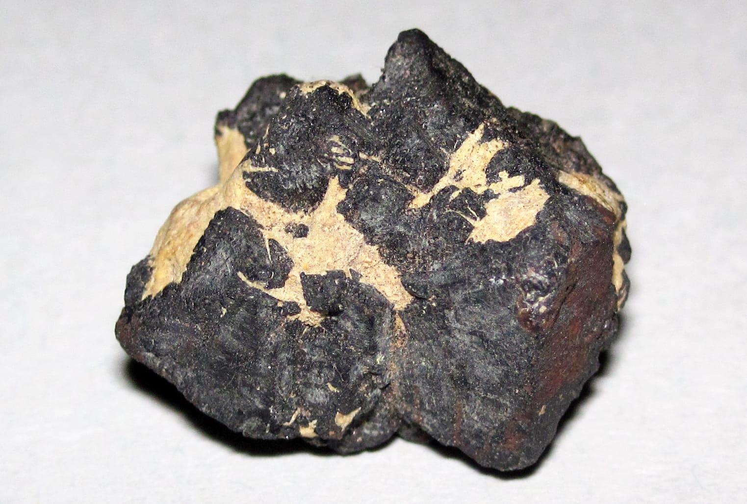 Top pick
Hot Spring County
Magnet Cove is a classic alkaline igneous complex, noted in USGS work for nepheline syenite, carbonatite, and titanium-bearing minerals such as perovskite and titanite.
Sphene, Nepheline Syenite
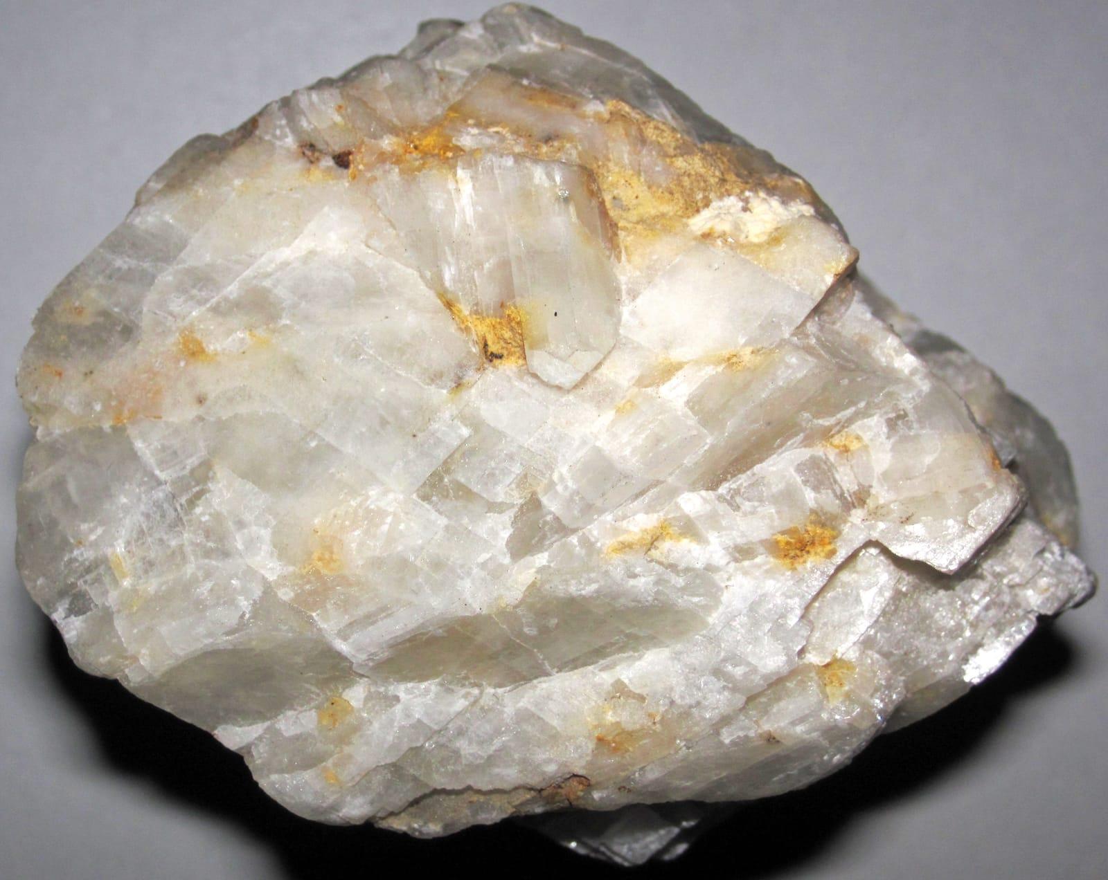 Top pick
Hot Spring County
Kimzeyite and perovskite give the Cove Creek Bridge area its weight: Perovskite Hill and the nearby Kimzey carbonatite localities are documented Magnet Cove occurrences rather than generic creek gravel.
Apatite, Monticellite, Magnetite, Perovskite
 Top pick
Montgomery County
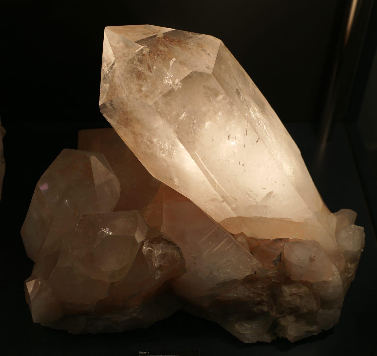
Clear hydrothermal quartz is the draw here, part of the Ouachita Mountain quartz belt that USGS and the Arkansas Geological Survey describe as one of western Arkansas's signature mineral resources.
Quartz
 Top pick
Montgomery County
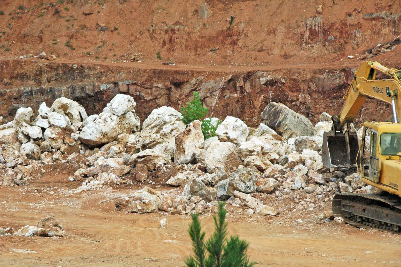
Mount Ida sits in the heart of Arkansas's Ouachita quartz province, where hot fluids moved through fractured Paleozoic sandstone, shale, and chert to form crystal-bearing veins.
Quartz
 Top pick
Pike County
Crater of Diamonds is exceptional because visitors search the eroded surface of a diamond-bearing Prairie Creek lamproite and may keep diamonds and other minerals they find.
Diamond, Amethyst, Garnet, Jasper
 Top pick
Pike County
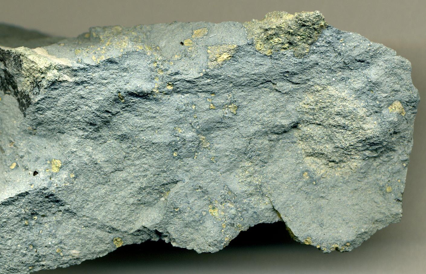
Prairie Creek is the geologic source behind the Crater of Diamonds field, a lamproite diatreme with diamonds plus mantle and alteration minerals such as chrome diopside, epidote, garnet, hematite, and amethyst.
Amethyst, Diopside, Epidote, Garnet
 Top pick
Marion County
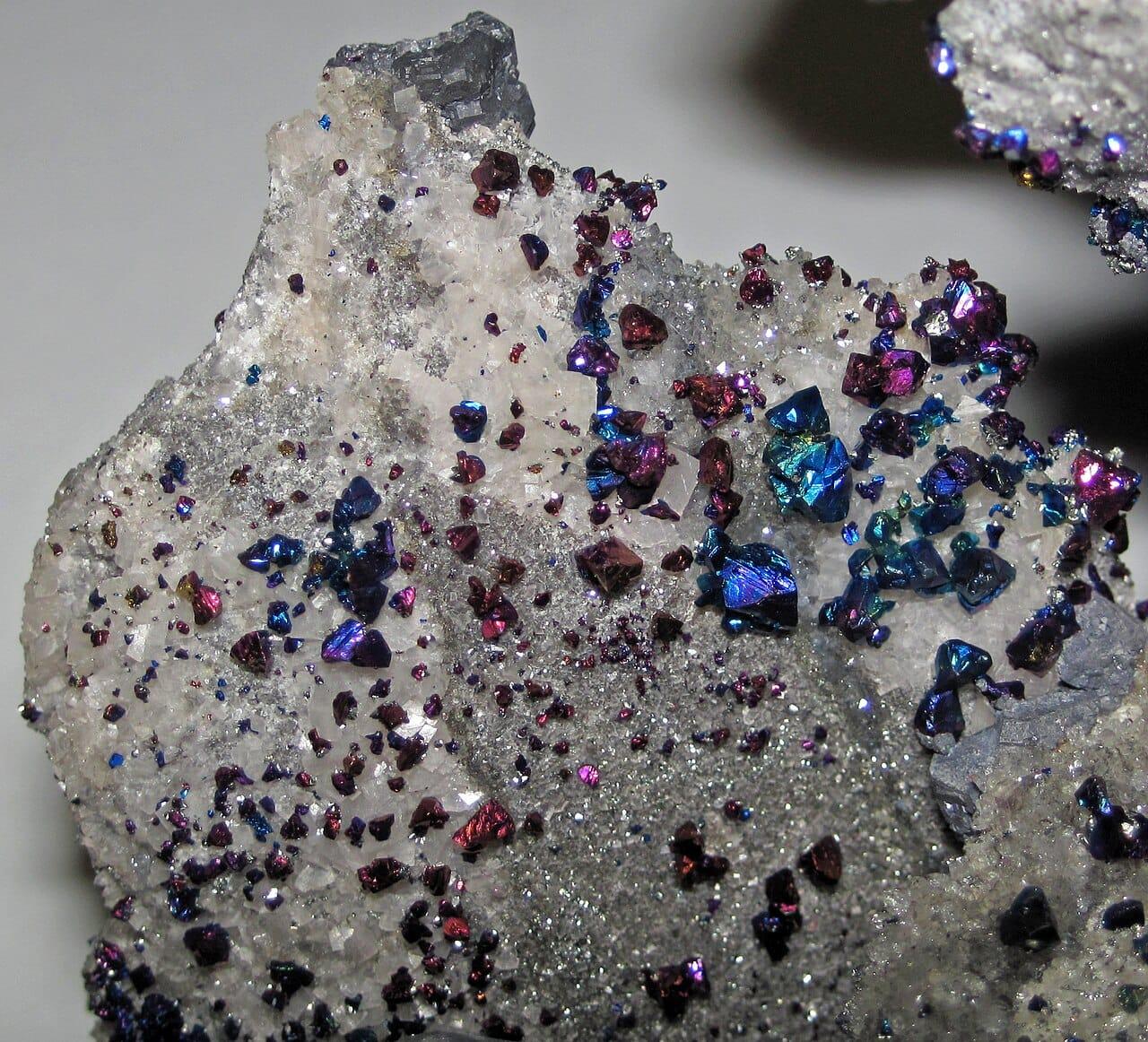
Yellville belongs to north Arkansas's historic lead-zinc belt, where Arkansas Geological Survey summaries record galena, sphalerite, and smithsonite production from Marion County and nearby Ozark districts.
Galena, Pyrite, Smithsonite, Sphalerite
 Top pick
Garland County
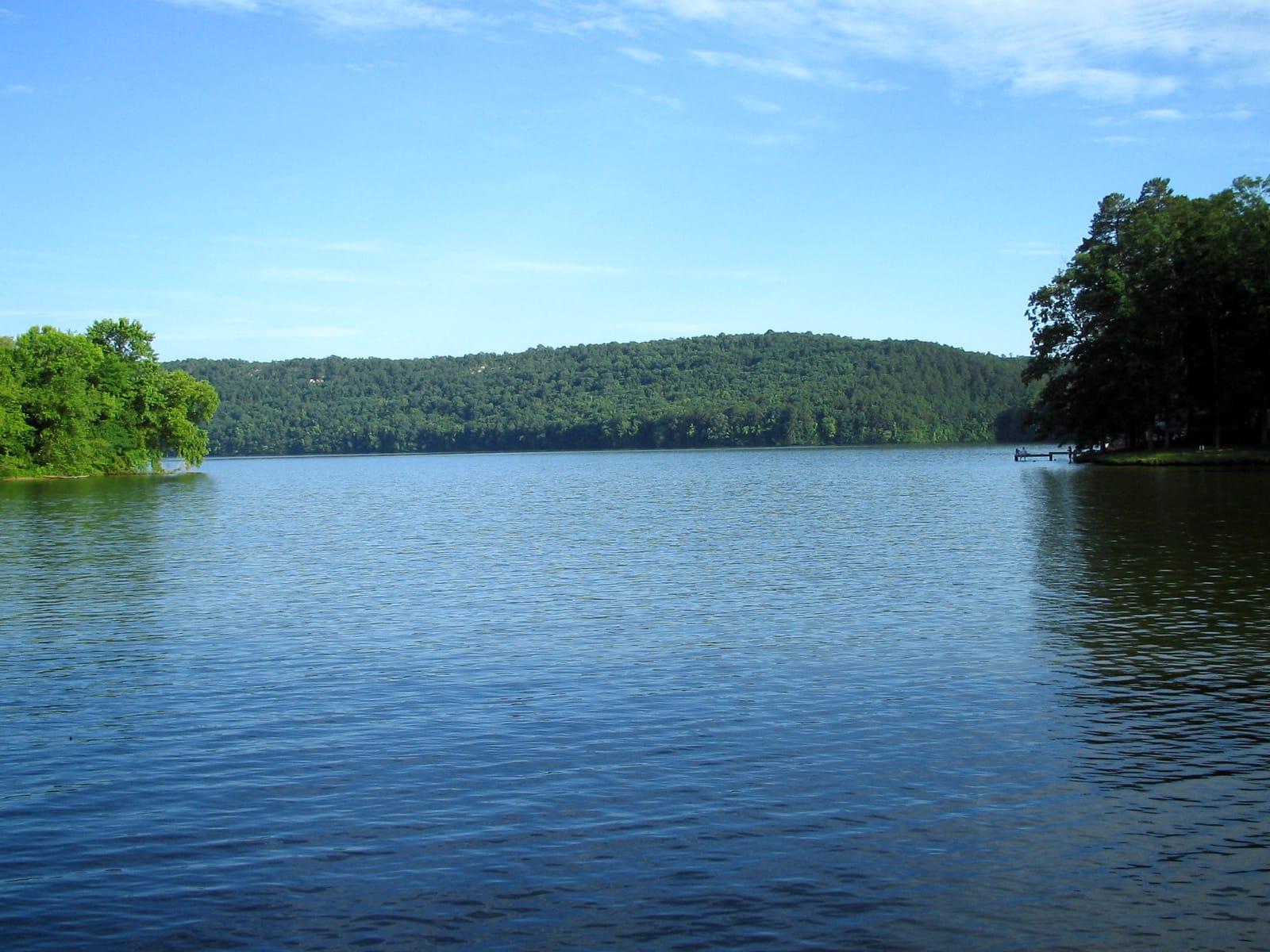
The south side of Lake Catherine is tied to Garland County fluorite occurrences noted in Arkansas Geological Survey mineral-deposit reports and Mindat locality records.
Fluorite
 Top pick
Saline County
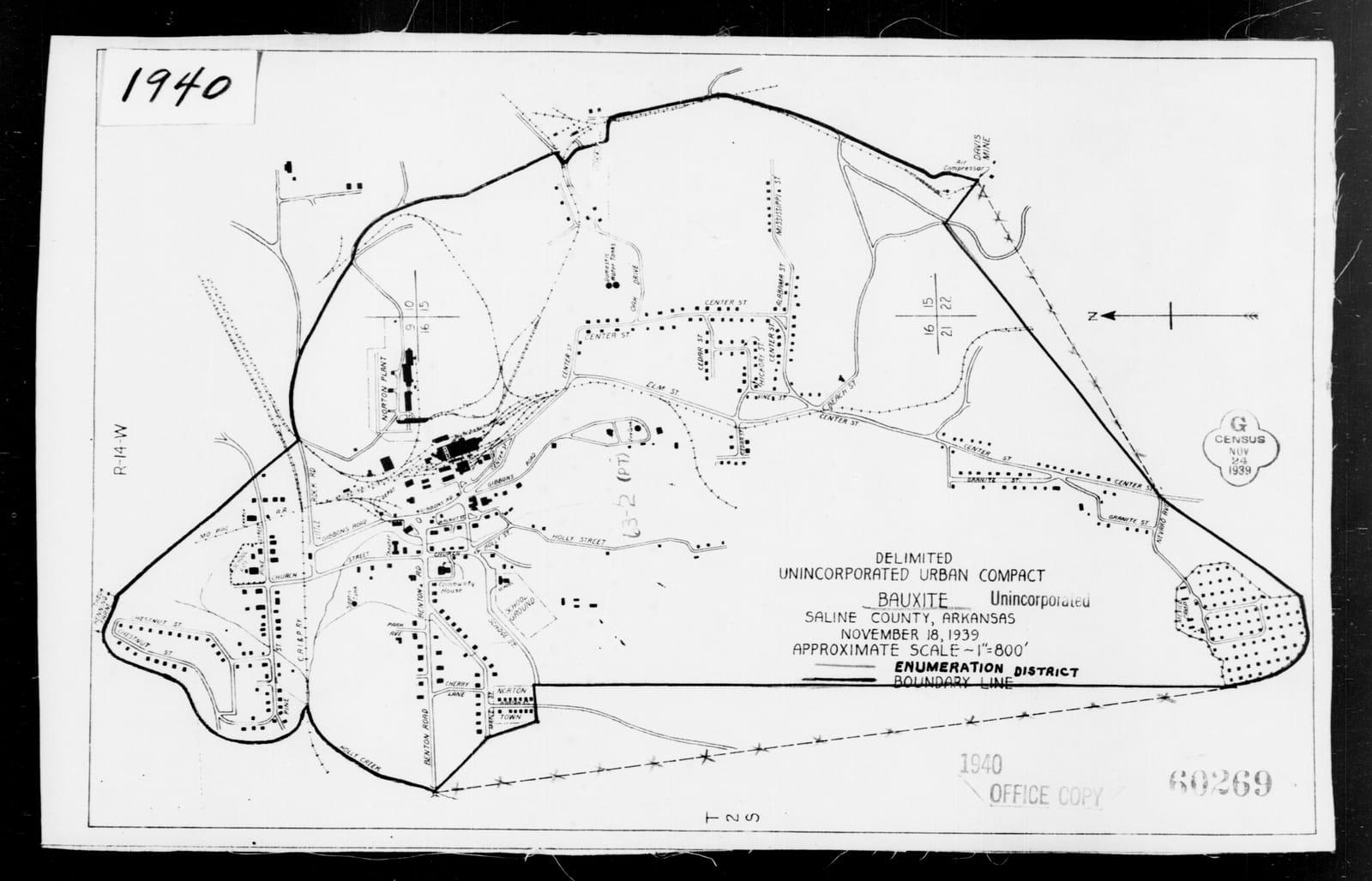
Saline County is one of the two districts in the Arkansas bauxite region, a roughly 275-square-mile belt described by the Arkansas Geological Survey and USGS as the state's historic aluminum-ore province.
Bauxite, Heliotrope Bauxite
11 places in Arkansas where you pay to dig and keep what you find. Prices and seasons change, so check with the operator before you drive out.
3 clubs in Arkansas. Clubs run field trips, shows and workshops, and many trips go to private claims you can't reach alone.
Open the RockHoundR app to see Arkansas on a real map with public land overlays, weather, geology, and your saved finds.

