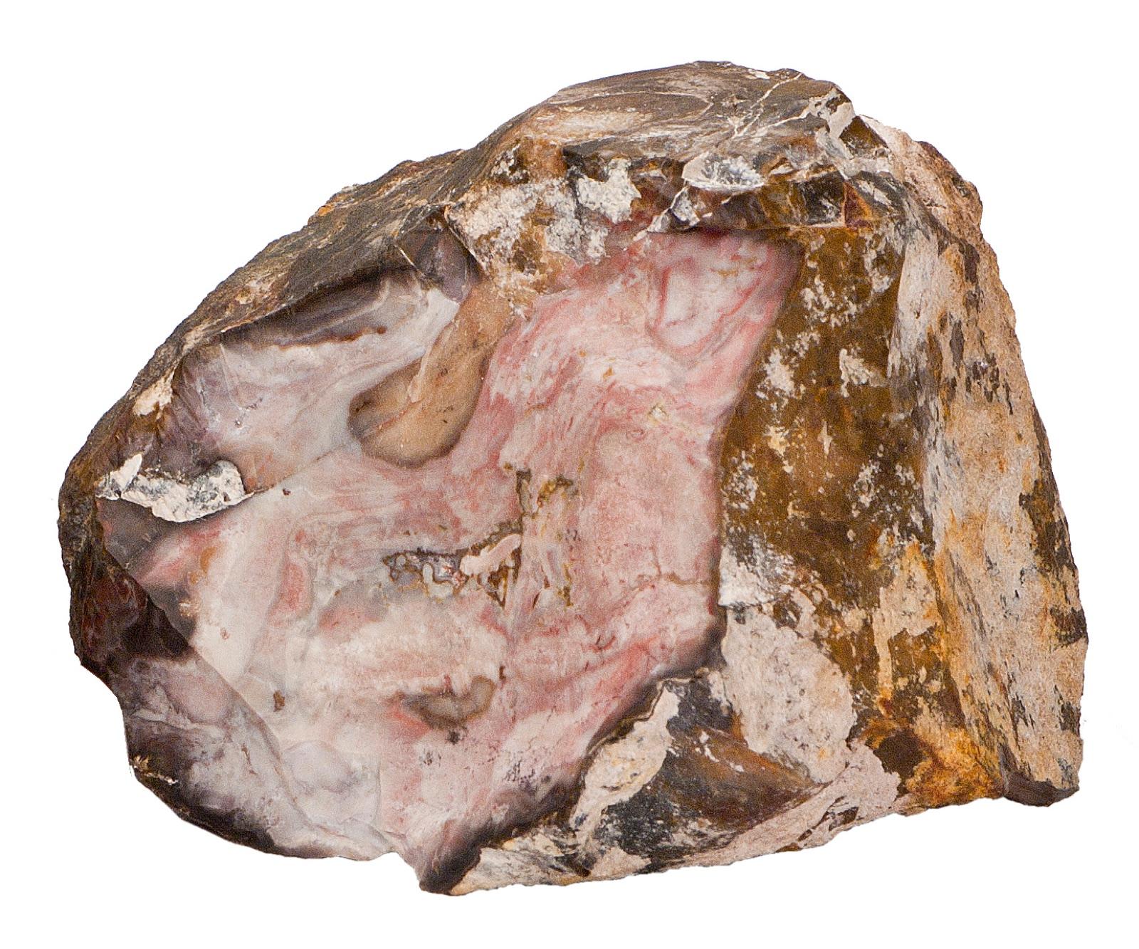
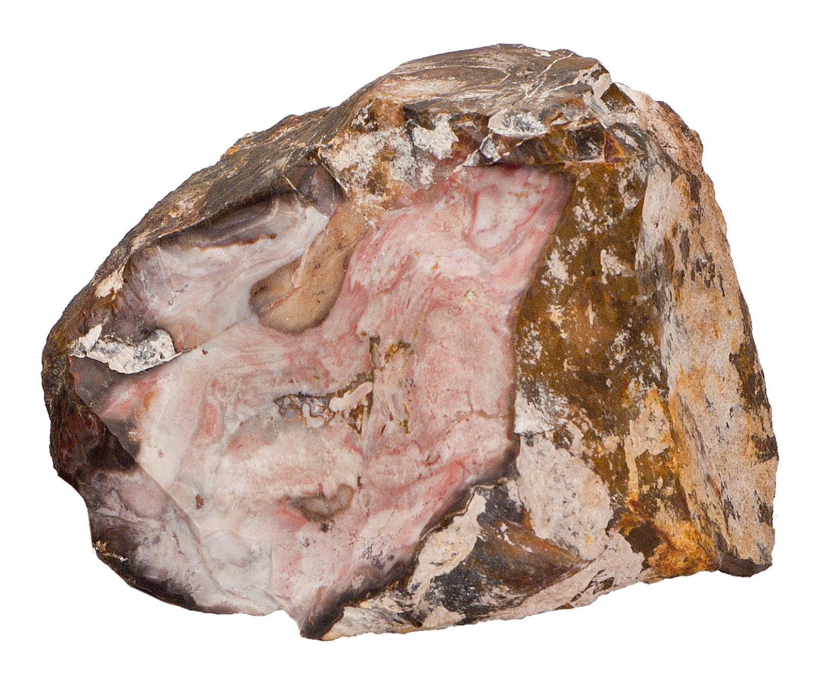
Rockhounding in Missouri

Updated October 2026

93 mapped spots for rock hunting and rock collecting across 52 counties. Missouri splits into two rockhounding worlds: the Ozarks, with lead-belt calcite, barite, galena, druzy quartz, and the state rock mozarkite, and the glaciated north, where river gravel bars carry Lake Superior agates, jasper, and petrified wood, with Keokuk geodes along the Mississippi bluffs in the northeast corner.

Where is the best rockhounding in Missouri?

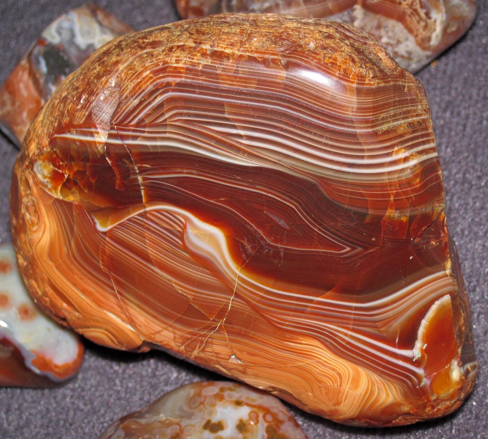
The best rockhounding in Missouri is at Gallatin in Daviess County (agate, chalcedony), Gentry County in Gentry County (lake superior agate, jasper), and Daviess County in Daviess County (lake superior agate, jasper). In total, 93 mapped collecting spots across 52 counties produce pyrite, calcite, and sphalerite, each listed below with its land access.

Open the full map

Every rockhounding spot in Missouri

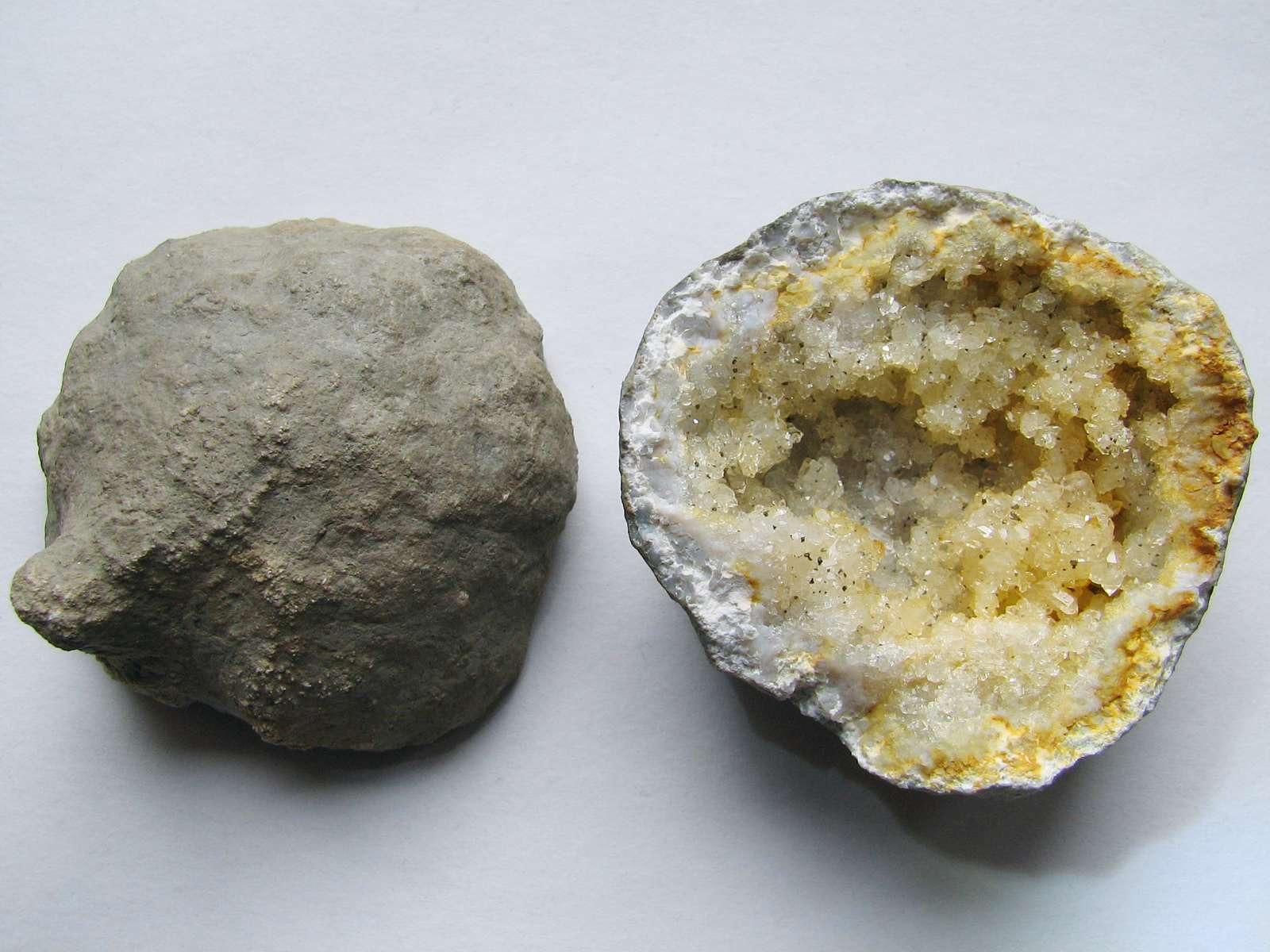
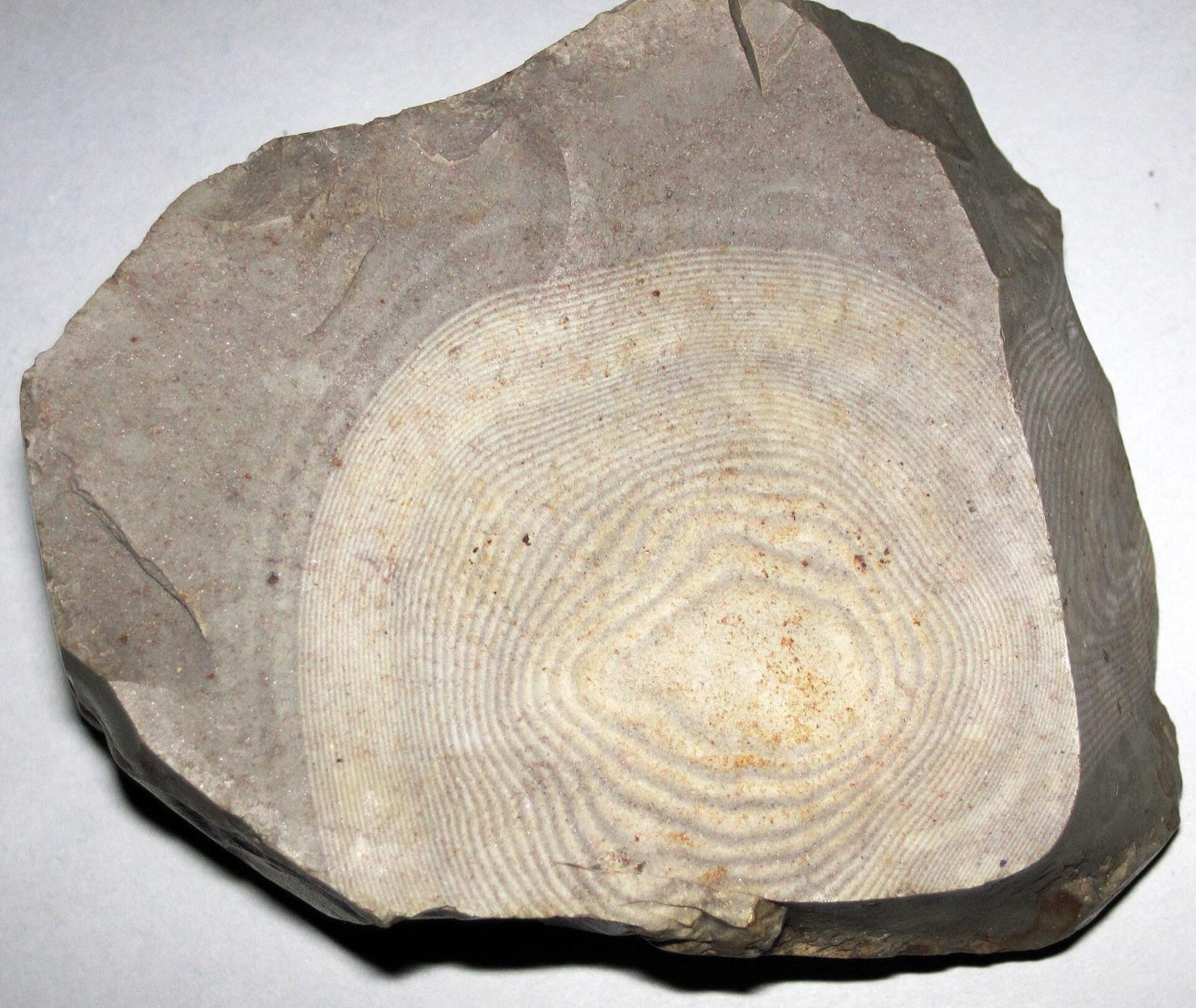
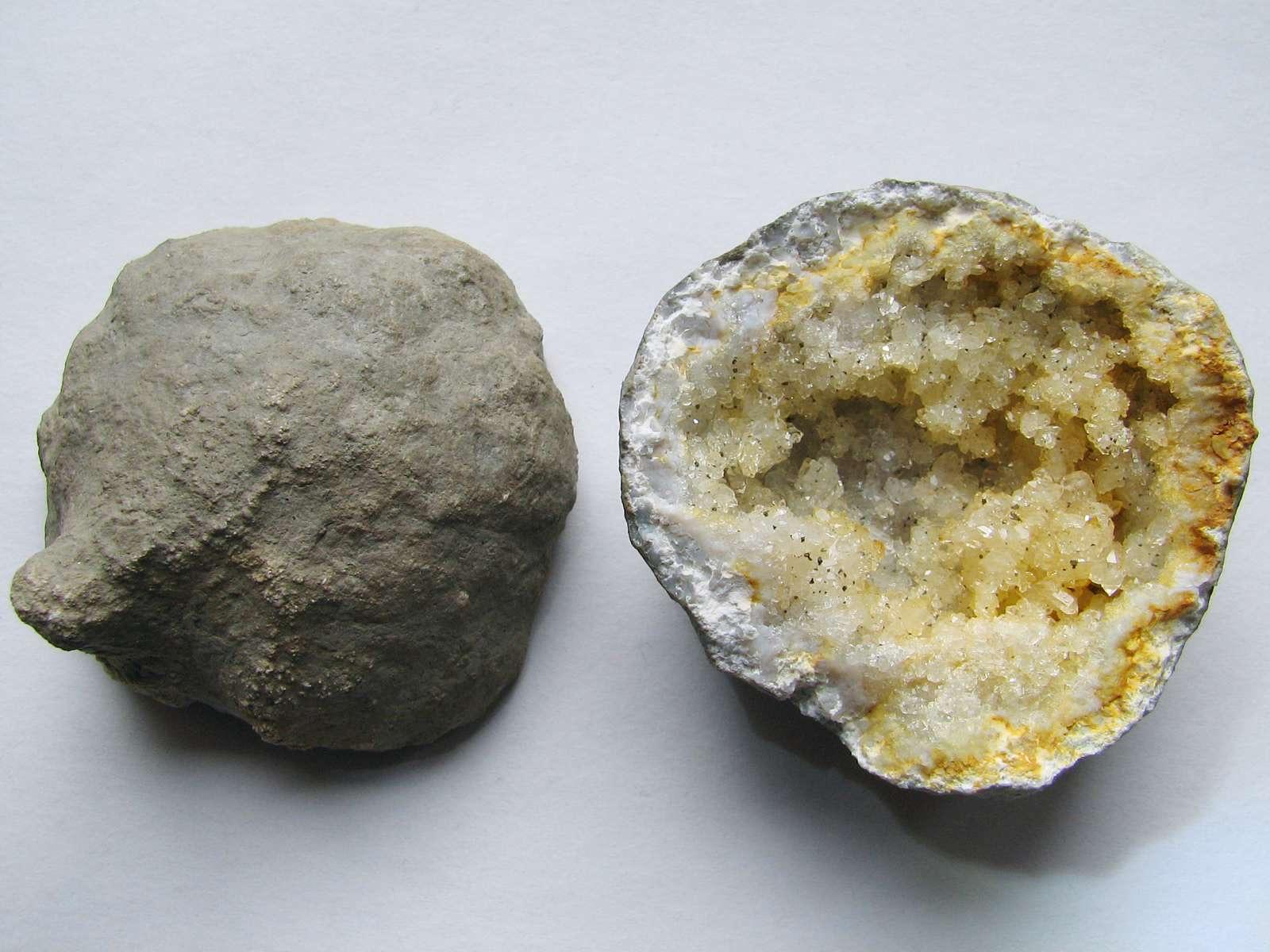
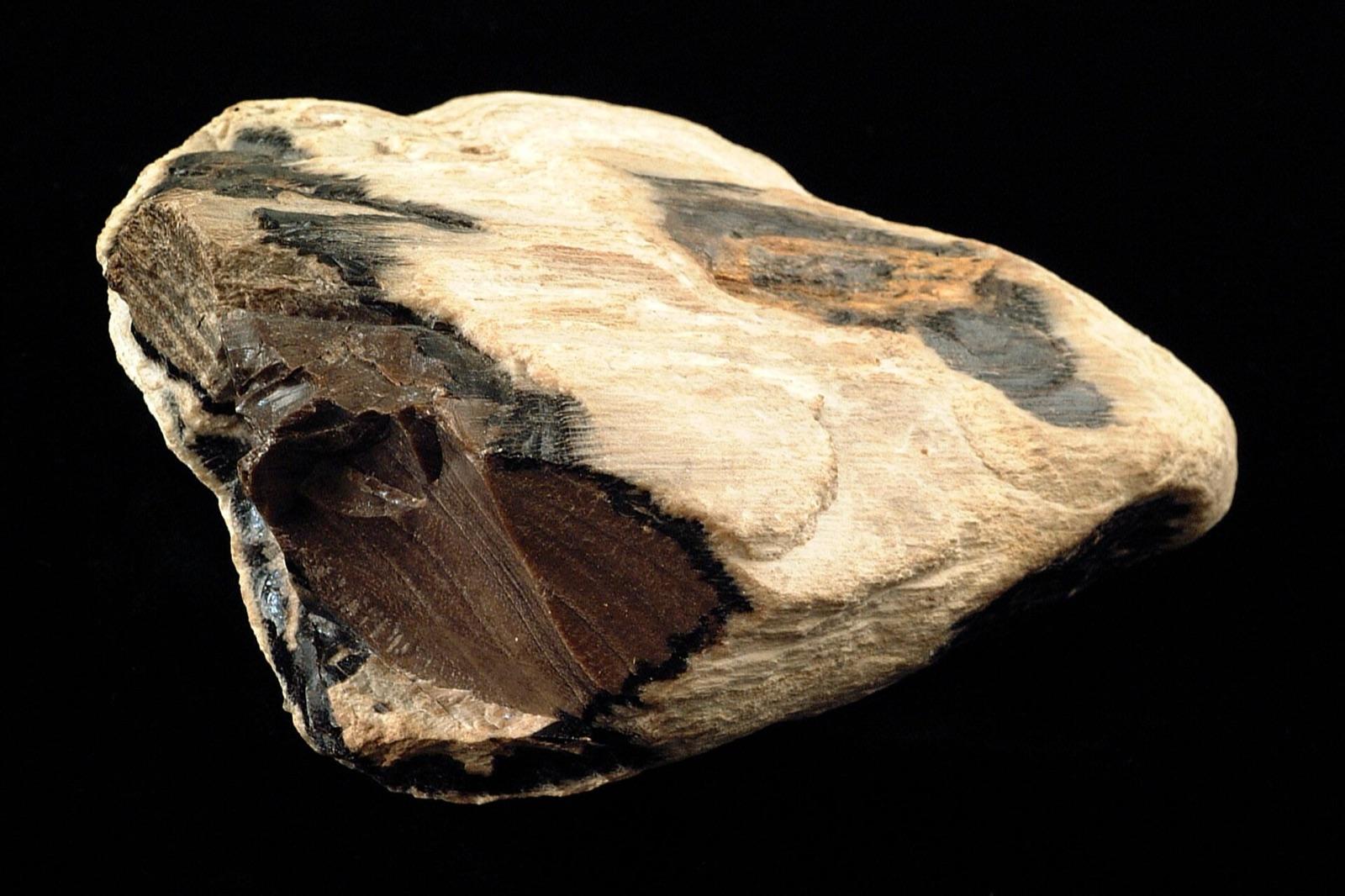
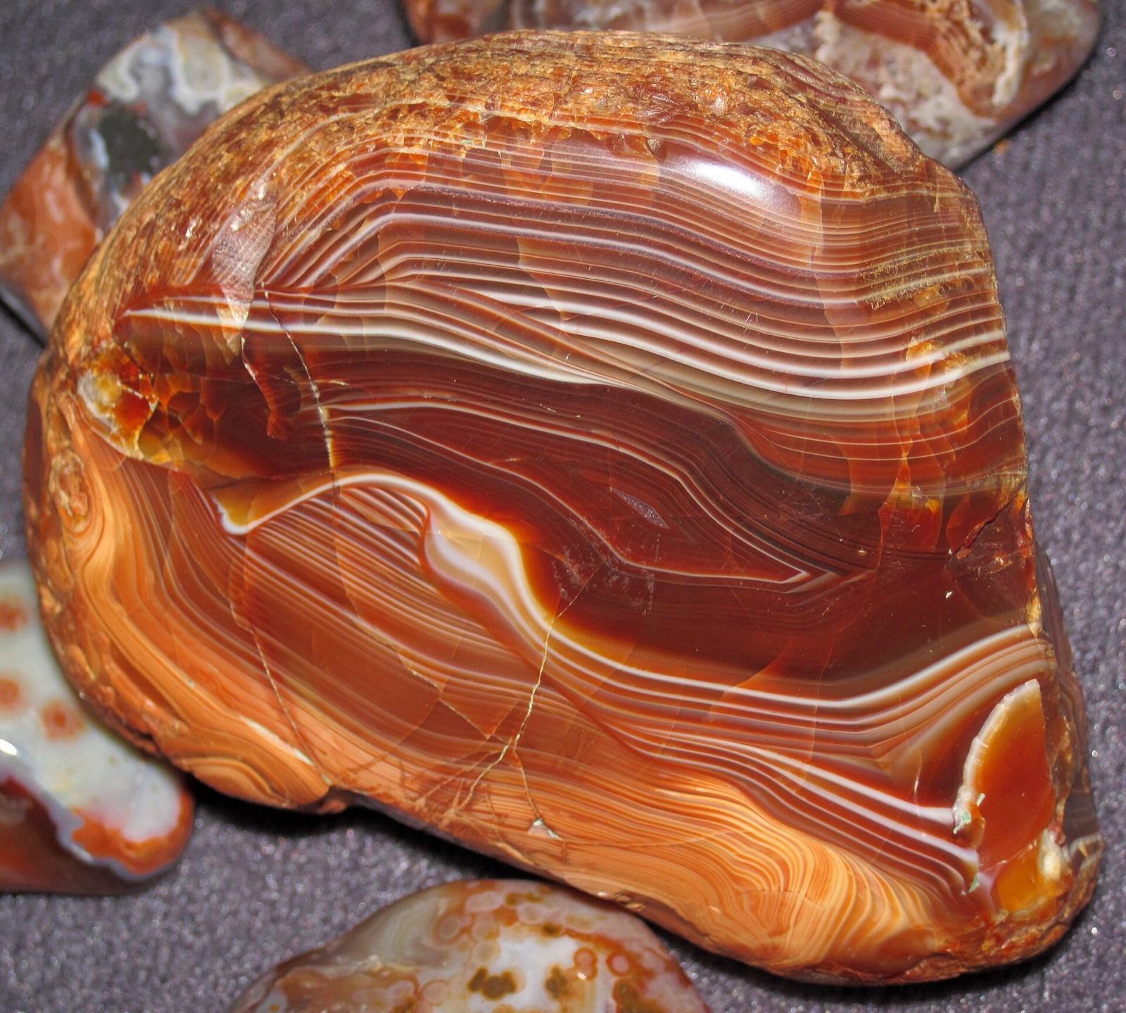
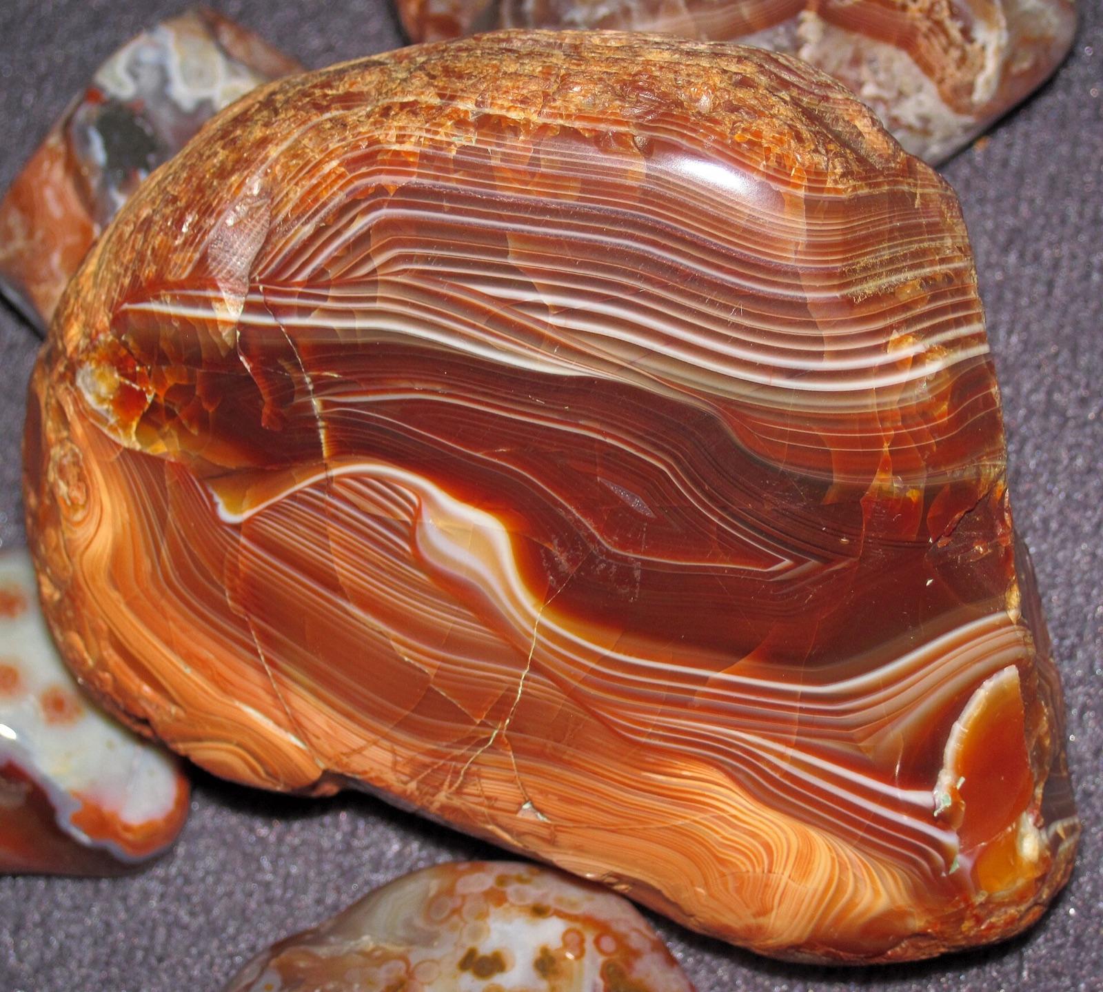
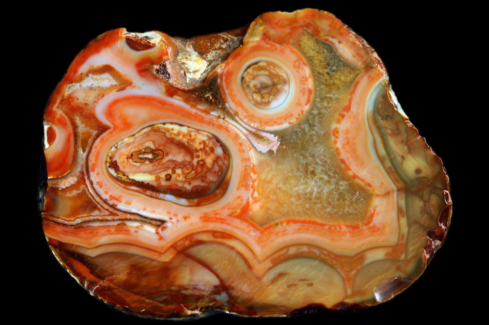
Missouri rockhounding photos

Representative spot and material photos from locations in this state, shown where verified public image records are available.

5 photos

Top minerals found in Missouri

Counts reflect how many spots in this list mention each mineral.

Notable areas: Keokuk geodes from Clark County, Benton County mozarkite, Washington County barite, Lead Belt calcite and galena, and Grand River agates are the Missouri targets collectors travel for.

Geology behind Missouri rockhounding

The Ozark dome is a broad uplift of Cambrian and Ordovician dolomite and chert wrapped around the Precambrian granite and rhyolite of the St. Francois Mountains. Mississippi Valley-type ore deposits in that dolomite built the Old Lead Belt and the Viburnum Trend (galena, sphalerite, chalcopyrite, calcite, marcasite) and the Washington County barite district, and the same chert makes druzy quartz vugs and the banded Ordovician chert sold as mozarkite around Lincoln in Benton County. Crawford and Iron counties carry the old iron mines (hematite, goethite) and Iron County the rhyolite knobs. Northern Missouri was glaciated, so the Grand, Thompson, and Chariton river gravels hold Lake Superior agates, jasper, petrified wood, and Canadian Shield erratics. In the northeast, the Mississippian Warsaw Formation along the Mississippi and Des Moines rivers produces the Keokuk geodes shared with Iowa and Illinois.

Best regions to focus your search

Northeast corner: Keokuk geodes (Clark, Lewis, Marion)

Alexandria, Wayland, the Fabius River, and La Grange sit on the geode beds. The classic access is fee digs at commercial geode operations near Alexandria; creek exposures on private ground need permission.

Benton County mozarkite (Lincoln, Warsaw, Truman Lake)

Banded Ordovician chert in pink, red, green, and brown. Road cuts, hillsides, and the Truman Lake shoreline near Warsaw; Lincoln hosts the annual Mozarkite Festival.

Ozark mineral belts (Washington, Crawford, Iron, St. Francois)

Barite roses and calcite from the old tiff diggings, galena and chalcopyrite on lead-belt dumps, hematite and goethite around the iron mines, and druzy quartz in chert float. Nearly all mine property is private or reclaimed; Mark Twain National Forest ground in between is open to hand collecting.

Glacial north (Daviess, Gentry, Grundy, and the river gravels)

Lake Superior agates, jasper, and petrified wood in gravel bars of the Grand and Thompson rivers and in county gravel pits. Low water and post-flood bars are best.

Best season

Spring and fall. March through May and October through November give cool weather and, after rains, freshly washed float and gravel. Late-summer low water exposes the most gravel bar in the north. Ozark ticks and chiggers peak June through September.

What to bring

Rock hammer and chisel, safety glasses, gloves, a garden rake and screen for gravel bars, knee boots, a spray bottle to wet chert and agate, and a sturdy bucket. For geode digs bring a long-handled pick, a pry bar, and rags to wrap unbroken geodes.

Local collecting history

Missouri led U.S. lead production for most of the 20th century out of the Old Lead Belt and, later, the Viburnum Trend, and the Washington County barite district was hand-dug for tiff for generations. Mozarkite was named the state rock in 1967 and the crinoid the state fossil in 1989.

Rockhounding near major Missouri cities

Day-trip range. Each section lists the closest mapped rockhounding spots within about 150 miles of the city. Most are inside a 2 to 3 hour drive.

Rockhounding near Kansas City

See all →

6 closest spots to Kansas City, MO.

Rockhounding near St. Louis

See all →

6 closest spots to St. Louis, MO.

Rockhounding near Springfield

See all →

6 closest spots to Springfield, MO.

  • SpringfieldGreene County · Barite, Calcite4 mi5 min drive
  • GreenfieldDade County · Agate, Chert33 mi41 min drive
  • MansfieldWright County · Galena, Smithsonite42 mi52 min drive
  • WentworthNewton County · Zinc, Pyrite46 mi58 min drive
  • Peterson MineHickory County · Sphalerite50 mi1 hr 2 min drive
  • HermitageHickory County · Chalcedony, Chert51 mi1 hr 3 min drive

Neighboring states with rockhounding

Geology rarely respects state borders. These states share mapped rockhounding country with Missouri, useful when Missouri is the start, not the whole trip. Each card links to the closest county across the line.

Rockhounding by county in Missouri

County pages are linked once we have at least 3 mapped spots for a focused guide with coordinates, mineral notes, and nearby spots.

Top picks in Missouri

10 best spots

Hand-picked standouts from the Missouri list, chosen for unusual mineralogy, documented public access, or both. Each card links to coordinates, access notes, and what to look for.

Fee digs and gem mining in Missouri

2 places in Missouri where you pay to dig and keep what you find. Prices and seasons change, so check with the operator before you drive out.

  • Haunted Ridge RocksWashington County
  • Hawks Bluff Farm Rocks and DrusyWashington County

Rock and mineral clubs in Missouri

10 clubs in Missouri. Clubs run field trips, shows and workshops, and many trips go to private claims you can't reach alone.

Full club directory →

Missouri rockhounding FAQ

Is rockhounding legal in Missouri?+
Yes, on Mark Twain National Forest land for personal-use hand collecting, on Corps of Engineers lake shores unless posted, at fee digs, and on private land with permission. Missouri State Parks, Conservation areas, and the Ozark National Scenic Riverways are closed to collecting.
Where can I dig Keokuk geodes in Missouri?+
Clark County, around Alexandria and Wayland, and the Fabius River area in Lewis County. Commercial fee digs near Alexandria let you dig fresh Warsaw Formation clay for a per-bucket or per-pound price; creek banks on private farms need the owner's permission. Bring a pick and a pry bar and wrap unbroken geodes.
Where do you find mozarkite?+
Benton County, especially around Lincoln and Warsaw and along the Truman Lake shore. It is Ordovician chert banded in pink, red, green, and brown, and it takes a good polish. Road cuts and hillsides are the usual sources; Lincoln's Mozarkite Festival each fall is the easiest introduction.
Can I collect on the old lead mine dumps?+
Generally no. Old Lead Belt and Viburnum Trend property is private, much of it reclaimed or still hazardous, and posted. Club field trips occasionally get access. Washington County barite ground is likewise private; ask first.
What rocks and minerals can you find in Missouri?+
Missouri spots in this list most often produce calcite, pyrite, barite, chalcopyrite, dolomite, goethite, petrified wood, and jasper, with Keokuk geodes in the northeast, mozarkite in Benton County, and Lake Superior agates in the northern river gravels.
Where can I go rock hunting in Missouri?+
Rock hunting, rock collecting and rockhounding are the same hobby under different names. 93 spots are mapped in Missouri, 88 of them with public access. Crawford County, Iron County, and Clark County have the most.
Is there gem mining or pay-to-dig in Missouri?+
Yes. 2 fee digs are mapped in Missouri, where you pay to dig and keep what you find: Haunted Ridge Rocks and Hawks Bluff Farm Rocks and Drusy. Prices and seasons change, so check with the operator before you drive out.
Where can I dig for crystals in Missouri?+
23 mapped spots in Missouri report quartz, amethyst, or smoky quartz, mostly in Crawford County, Iron County, and Saint Francois County. Each one is in the list on this page with its land access.
Where can I go gold panning in Missouri?+
1 mapped spot in Missouri reports gold, mostly in Macon County. Check for mining claims before you pan: working someone else's claim is not allowed.
Where can I go fossil hunting in Missouri?+
7 mapped spots in Missouri report fossils, mostly in Daviess County, Saint Charles County, and Gentry County. On federal land you may keep common shells, corals and plant fossils. Bones and teeth of animals with a backbone are protected.

Map every Missouri spot in the app

Open the RockHoundR app to see Missouri on a real map with public land overlays, weather, geology, and your saved finds.

Download on the App StoreGet it on Google Play