
Great Salt Plains (Alfalfa)
The Salt Plains National Wildlife Refuge opens a designated digging area for hourglass selenite from April 1 through October 15. Free, no permit, dig with your hands and a shovel, and bring water to wash the crystals.
Updated July 2026
36 mapped spots for rock hunting and rock collecting across 25 counties. Oklahoma rockhounding means the Great Salt Plains, where you dig hourglass selenite in a designated area of the national wildlife refuge every summer, rose rocks around Noble and Lake Stanley Draper, quartz crystals in the Ouachita Mountains, and agate, jasper, and petrified wood across the western plains from Alva to the Black Mesa country of Cimarron County.
The best rockhounding in Oklahoma is at Great Salt Plains in Alfalfa County (selenite, halite), Carrizozo Creek in Cimarron County (rose agate, agatized algae), and Seiling & Taloga in Dewey County (agate, jasper). In total, 36 mapped collecting spots across 25 counties produce barite, chert, and jasper, each listed below with its land access.
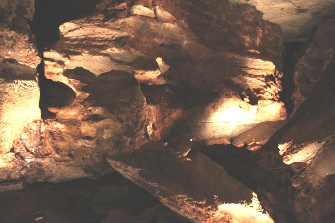 Best spotAlvaWoods County, OklahomaPermission required · Banded Agate, Moss Agate, Chalcedony +2
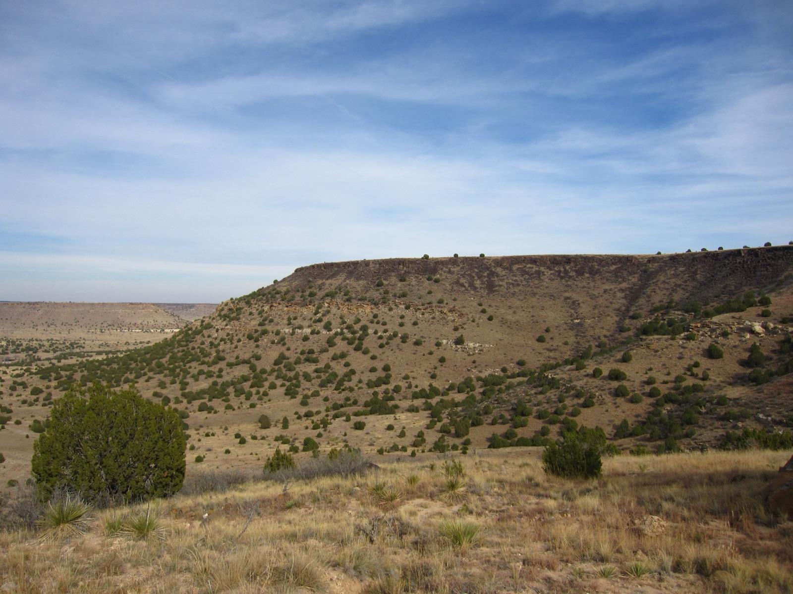 Best spotCarrizozo CreekCimarron County, OklahomaPermission required · Rose Agate, Agatized Algae, Agatized Cyad Wood
 Best spotOuachita National ForestLe Flore County, OklahomaPublic access · Quartz, Novaculite, Chalcedony
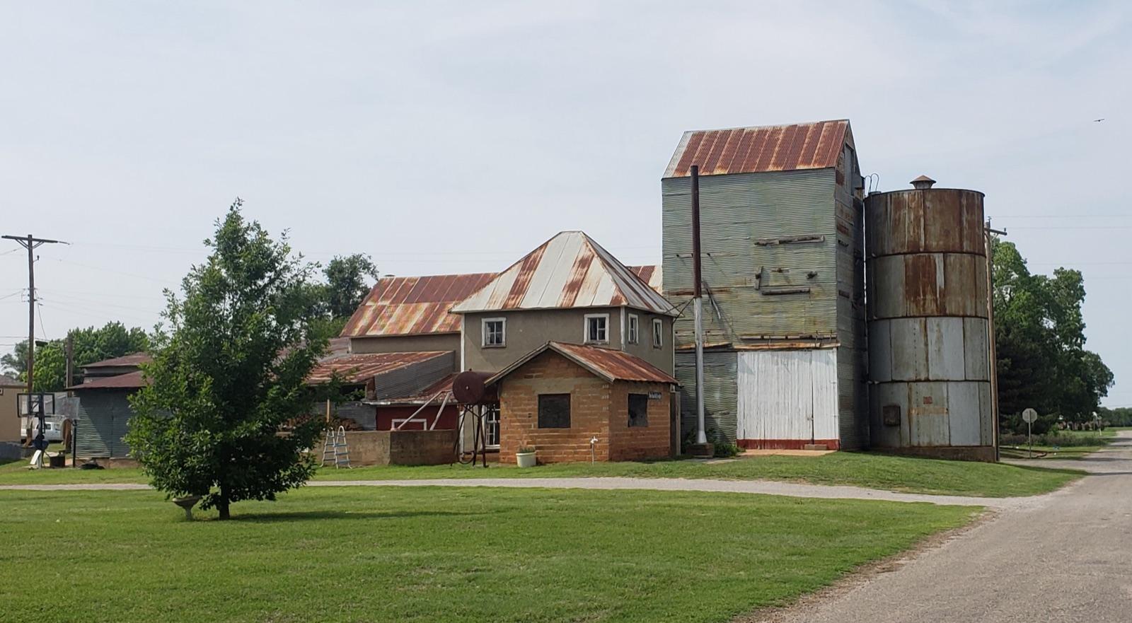 Best spotSeiling & TalogaDewey County, OklahomaPermission required · Agate, Jasper, Petrified Wood
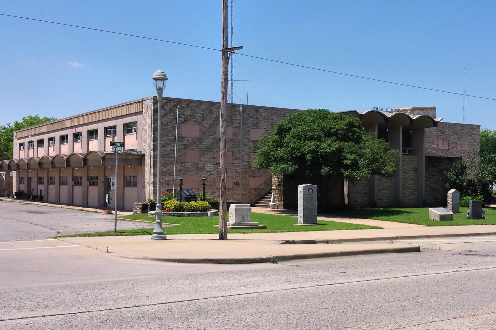 Best spotAtokaAtoka County, OklahomaPermission required · Novaculite, Chert
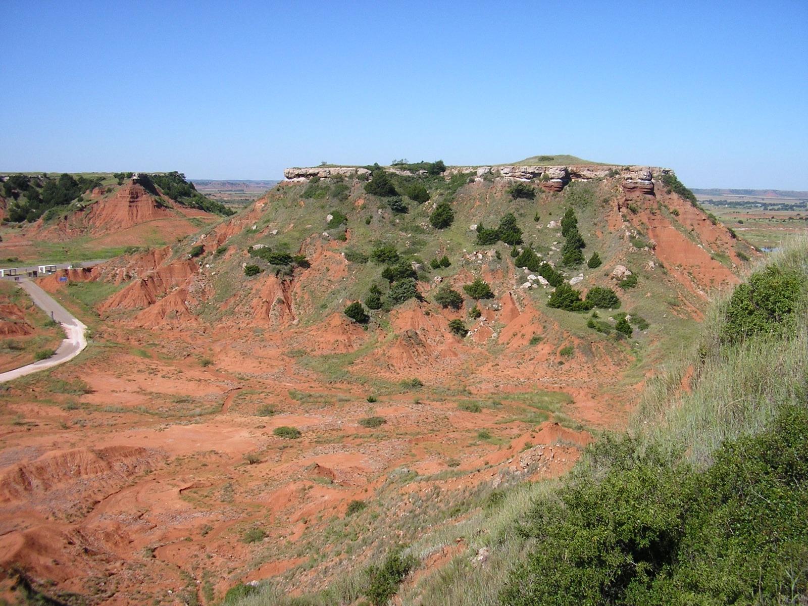 Best spotGloss Mountain State ParkMajor County, OklahomaCheck locally · Selenite, Gypsum
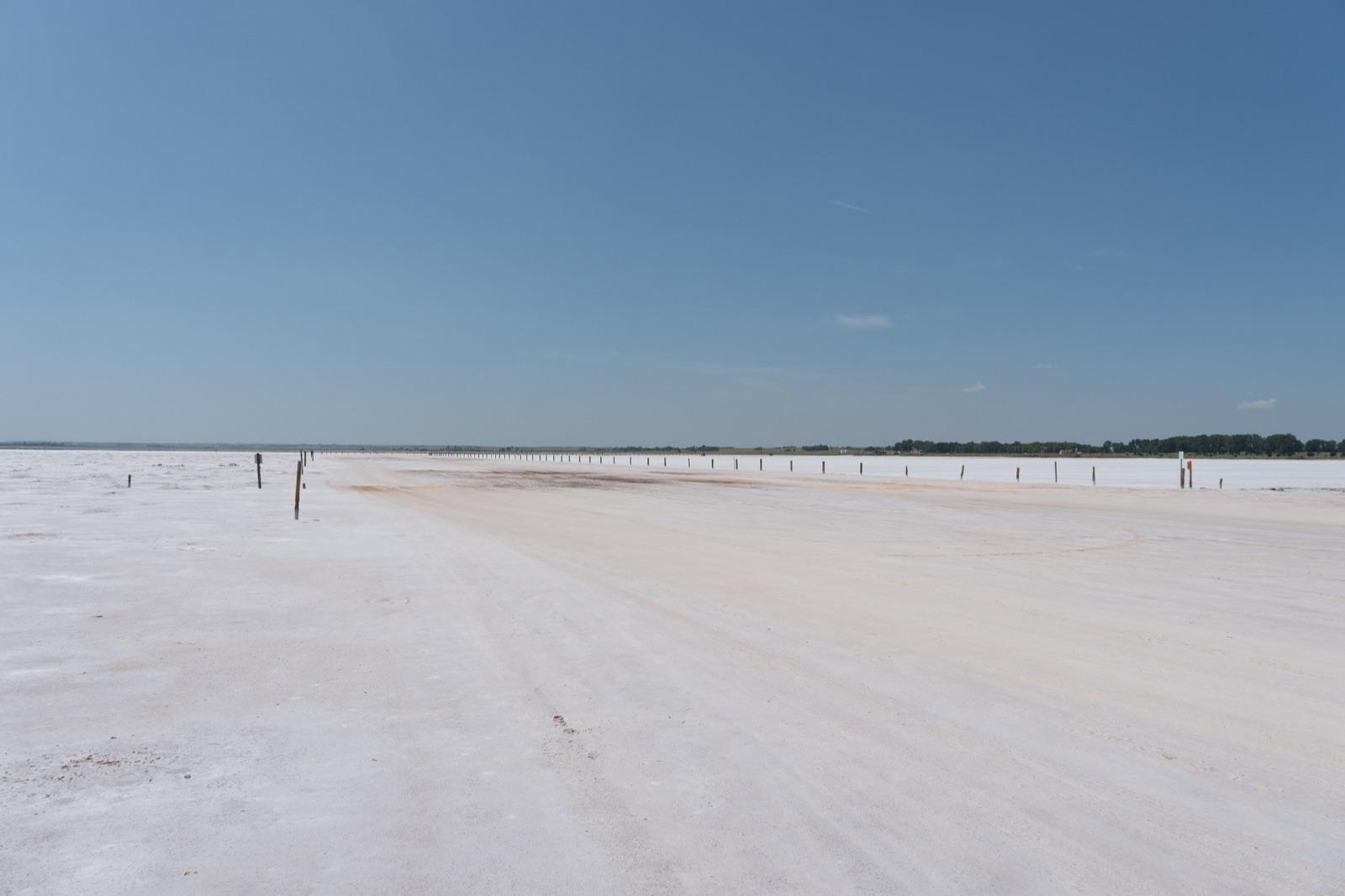 Best spotGreat Salt PlainsAlfalfa County, OklahomaPublic access · Selenite, Halite
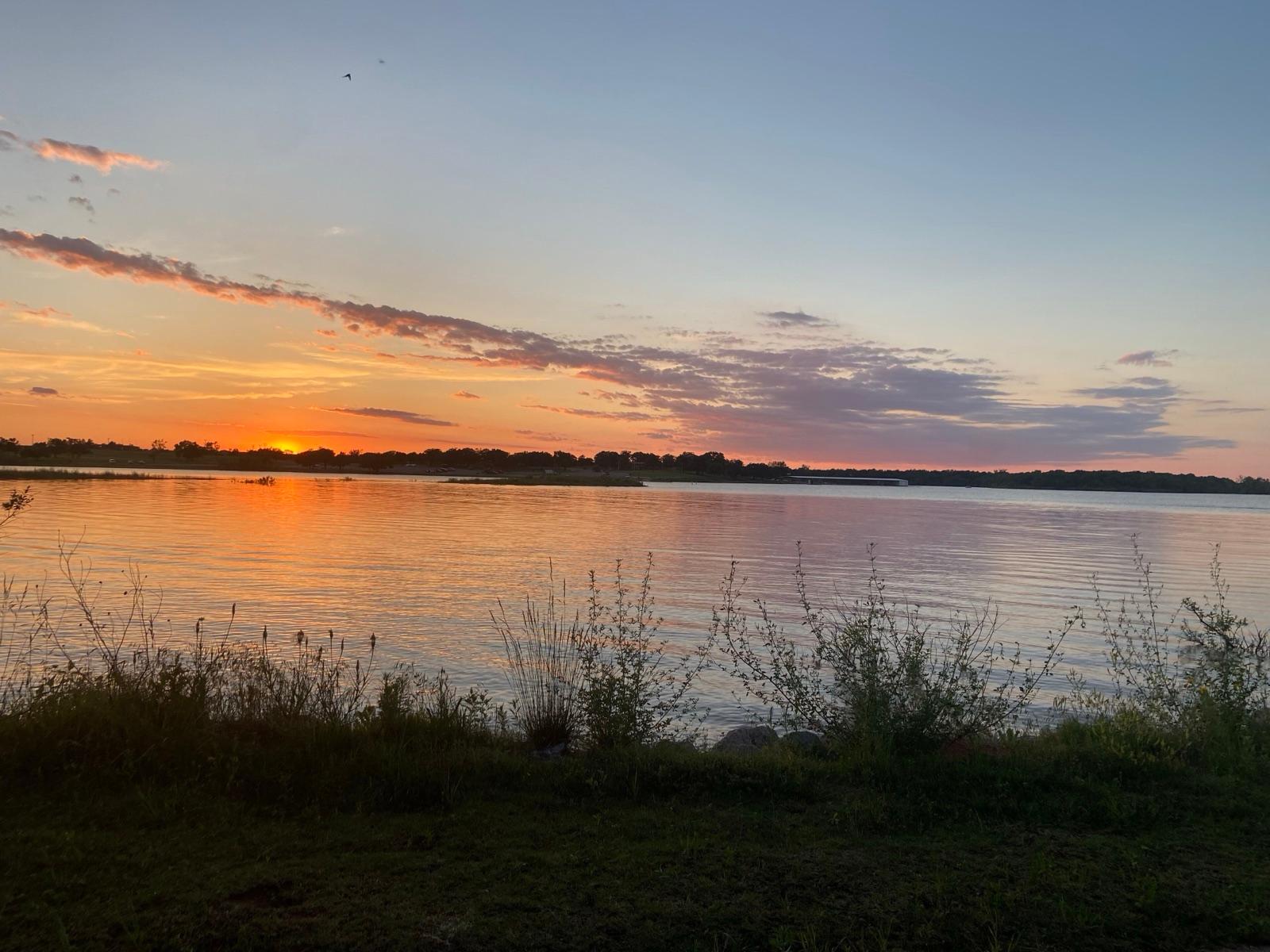 Best spotLake Stanley DraperCleveland County, OklahomaPublic access · Barite, Rose Rock
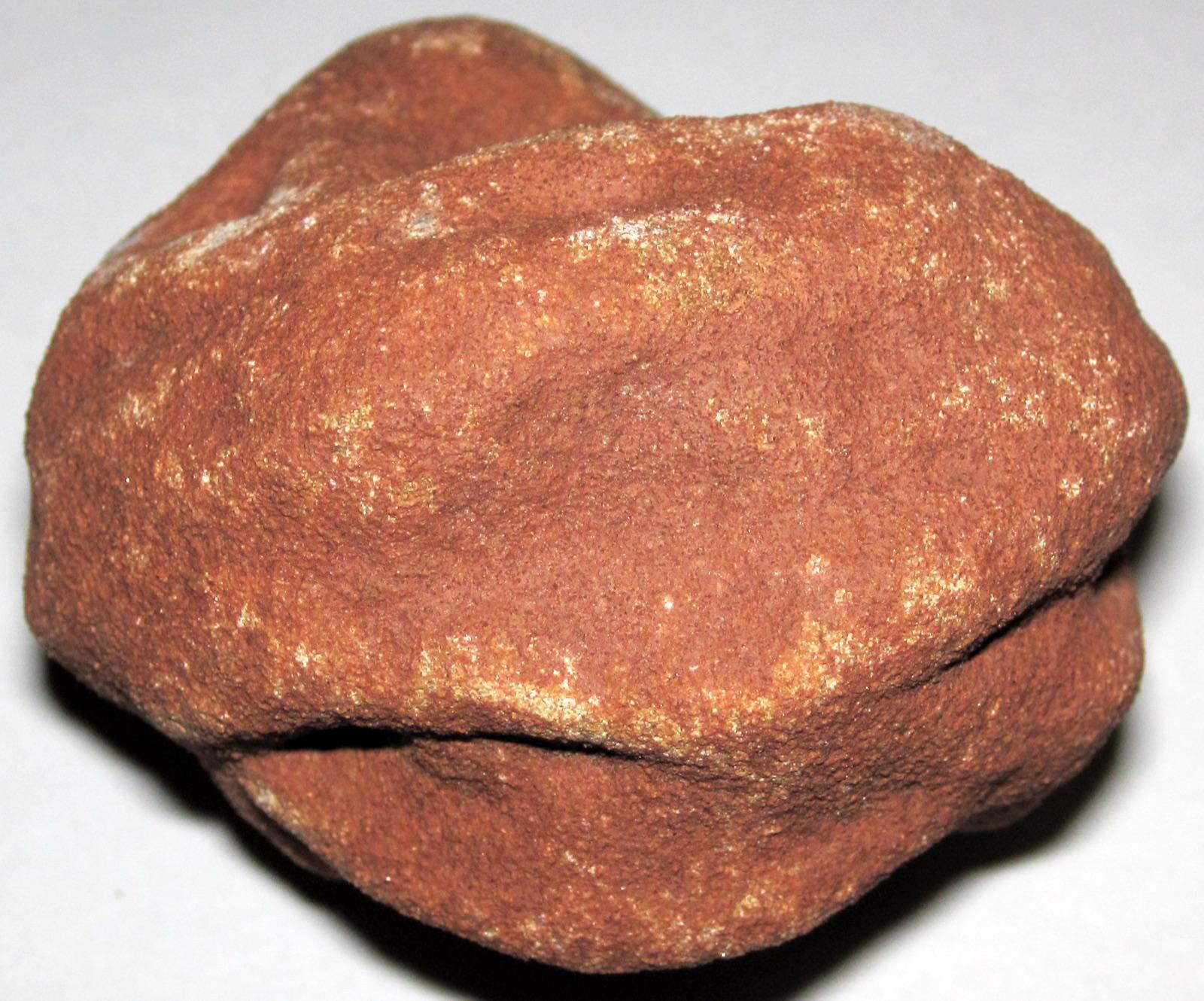 Best spotNobleCleveland County, OklahomaPermission required · Barite, Rose Rock
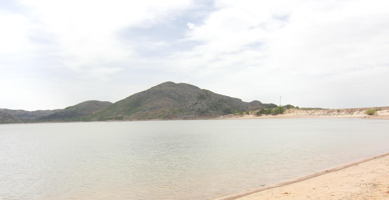 Best spotMangumGreer County, OklahomaPermission required · Agatized Wood
 MiamiOttawa County, OklahomaCheck locally · Aragonite, Barite, Calcite +9Lake SpavinawMayes County, OklahomaCheck locally · Cerussite, Galena, Magnetite +4Blaine CountyBlaine County, OklahomaCheck locally · Priceite, Proberite, Ulexite +1BuffaloHarper County, OklahomaCheck locally · Agate, Chalcedony, Chert +1SouthardBlaine County, OklahomaCheck locally · Priceite, Proberite, Ulexite +1Beckham CountyGreer County, OklahomaCheck locally · Alabaster, Selenite, Petrified WoodEl RenoCanadian County, OklahomaCheck locally · Agate, Jasper, Petrified WoodPeoriaOttawa County, OklahomaCheck locally · Calamine, Cerussite, GalenaLake ThunderbirdCleveland County, OklahomaCheck locally · Barite, Rose RockMangumGreer County, OklahomaCheck locally · Alabaster, QuartzOklahoma CityOklahoma County, OklahomaCheck locally · Barite, Rose RockOld Thompson RanchJohnston County, OklahomaCheck locally · Barite, IronWichita MountainsComanche County, OklahomaPermission required · Amphibole, ZirconAltusJackson County, OklahomaCheck locally · Smoky QuartzAntlersPushmataha County, OklahomaCheck locally · Green QuartzApacheCaddo County, OklahomaCheck locally · Fluorescent CalciteHoldenvilleHughes County, OklahomaCheck locally · BariteLehighCoal County, OklahomaCheck locally · ManganeseMill CreekJohnston County, OklahomaCheck locally · ManganesePaoliGarvin County, OklahomaCheck locally · Malachite
 Racine & SenecaOttawa County, OklahomaPublic access · TripoliRandlettCotton County, OklahomaCheck locally · MalachiteRosstonHarper County, OklahomaCheck locally · AragoniteTahlequahCherokee County, OklahomaCheck locally · PyriteTenmile CreekPushmataha County, OklahomaCheck locally · GrahamiteTri-State MarkerCimarron County, OklahomaCheck locally · Rose Agate
Representative spot and material photos from locations in this state, shown where verified public image records are available.
Counts reflect how many spots in this list mention each mineral.
Notable areas: Salt Plains hourglass selenite, Noble rose rocks, Ouachita quartz crystals, Alva petrified wood, and Black Mesa agate are the Oklahoma targets collectors travel for.
Oklahoma's plains are Permian red beds. Gypsum and salt in those beds produce the Gloss Mountains, the Alabaster Caverns, and the Salt Plains, where brine evaporating through sand grows the hourglass selenite crystals unique to Alfalfa County. Barite cementing the Permian Garber sandstone in Cleveland, Noble, and Lincoln counties crystallizes as the rose rocks that are the state rock. The Ouachita Mountains in the southeast are folded Paleozoic sandstone and shale cut by quartz veins, the Oklahoma end of the Arkansas quartz belt, with crystals around Atoka, Pushmataha, and Le Flore counties. The Arbuckle and Wichita mountains expose Precambrian granite and Cambrian limestone with calcite, fossils, and the Wichita granite quarried at Mangum and Granite. The Ogallala Formation and Tertiary gravels of the northwest and Panhandle carry agate, jasper, chalcedony, and petrified wood around Alva, Seiling, and Taloga, and the Black Mesa country of Cimarron County adds Jurassic and Cretaceous rock with agate and petrified wood. The Tri-State district at Picher in Ottawa County is a closed Superfund site.
The Salt Plains National Wildlife Refuge opens a designated digging area for hourglass selenite from April 1 through October 15. Free, no permit, dig with your hands and a shovel, and bring water to wash the crystals.
Barite roses around Noble, home of the Rose Rock Museum, and on the shores of Lake Stanley Draper, plus private fields with permission. Roses weather out of red sandstone after rain.
Quartz crystals in veins and float on Ouachita National Forest ground, which allows hand collecting, and on private timberland with permission.
Agate, jasper, petrified wood, and chalcedony in Ogallala gravels around Alva, Seiling, and Taloga, along the Carrizozo Creek and Black Mesa country, and granite around Mangum. Mostly private ranch land; ask first.
The selenite dig area is open April through mid-October, and late spring after rains is best because water carries dissolved salt to grow crystals. Rose rocks show best after spring and fall rains. The Ouachitas are pleasant from October to April; the western plains are hot from June to August and best in spring and fall.
For the Salt Plains a shovel, a bucket of water and a spray bottle to wash crystals free of brine, sun protection, and old clothes; the crust is blinding and the crystals are fragile. For the Ouachitas a rock hammer, chisels, safety glasses, and gloves. For rose rocks a trowel and a spray bottle.
The Salt Plains crystals have been dug by visitors since the refuge opened the area in the 1930s, and hourglass selenite became the state crystal in 2005; the rose rock became the state rock in 1968. The Picher lead-zinc field was one of the largest in the world before it closed and became a Superfund site.
Day-trip range. Each section lists the closest mapped rockhounding spots within about 150 miles of the city. Most are inside a 2 to 3 hour drive.
6 closest spots to Oklahoma City, OK.
6 closest spots to Tulsa, OK.
6 closest spots to Lawton, OK.
Geology rarely respects state borders. These states share mapped rockhounding country with Oklahoma, useful when Oklahoma is the start, not the whole trip. Each card links to the closest county across the line.
County pages are linked once we have at least 3 mapped spots for a focused guide with coordinates, mineral notes, and nearby spots.
Hand-picked standouts from the Oklahoma list, chosen for unusual mineralogy, documented public access, or both. Each card links to coordinates, access notes, and what to look for.
Top pickAlfalfa County
The Salt Plains are the only place on Earth where selenite crystals grow with a natural hourglass of reddish-brown sand sealed inside them, and selenite is Oklahoma's state crystal.
Selenite, Halite
Top pickCimarron County
The Black Mesa country at the far tip of the Oklahoma panhandle produces the state's most distinctive agate, including rose-colored agate, agatized algae, and agatized wood eroded from Tertiary gravels.
Rose Agate, Agatized Algae, Agatized Cyad Wood
Top pickDewey County
West-central Oklahoma along the Canadian and North Canadian river systems, around Seiling and Taloga in Dewey County, is known for agate, jasper, and petrified wood weathered from red-bed and gravel deposits.
Agate, Jasper, Petrified Wood
Top pickGreer County
Greer County in southwestern Oklahoma, around Mangum, produces agatized and petrified wood along with alabaster and selenite from the region's Permian gypsum and red beds.
Agatized Wood
Top pickWoods County
The gypsum hills and stream gravels of Woods County around Alva yield banded agate, moss agate, chalcedony, and jasper reworked from western Oklahoma formations.
Banded Agate, Moss Agate, Chalcedony, Chert
Top pickCleveland County
Noble calls itself the Rose Rock Capital of the World, a title the Oklahoma Legislature recognized in 1983, and the barite roses in the surrounding Garber Sandstone are the reference locality for the state rock.
Barite, Rose Rock
Top pickCleveland County
Rose rocks, clusters of barite crystals shaped like a blooming rose, are Oklahoma's state rock, and they weather out of the red Garber Sandstone across the Oklahoma City area.
Barite, Rose Rock
Top pickAtoka County
Atoka County sits along the western Ouachita foldbelt, where the Arkansas Novaculite forms ridges of dense, fine-grained silica rock long prized for whetstones.
Novaculite, Chert
Top pickLe Flore County
The Ouachita Mountains carry a belt of clear and milky quartz crystals that runs west from the famous Arkansas crystal district into southeastern Oklahoma.
Quartz, Novaculite, Chalcedony
Top pickMajor County
The Gloss Mountains, also spelled Glass Mountains, are flat-topped mesas capped by beds of selenite gypsum that catch the light and give the range its sparkle.
Selenite, Gypsum
5 clubs in Oklahoma. Clubs run field trips, shows and workshops, and many trips go to private claims you can't reach alone.
Open the RockHoundR app to see Oklahoma on a real map with public land overlays, weather, geology, and your saved finds.

