Rockhounding in New Hampshire

Updated July 2026

38 mapped spots across 9 counties. New Hampshire produces a wide range of rockhounding-grade material: see the full list of spots, minerals, and access notes below.

Where is the best rockhounding in New Hampshire?

The best rockhounding in New Hampshire is at Conway in Carroll County (feldspar, smoky quartz), Redstone in Carroll County (amethyst, apatite), and Indian Stream in Coös County (gold nugget, gold placer). In total, 38 mapped collecting spots across 9 counties produce beryl, amethyst, and smoky quartz, each listed below with coordinates and land access notes.

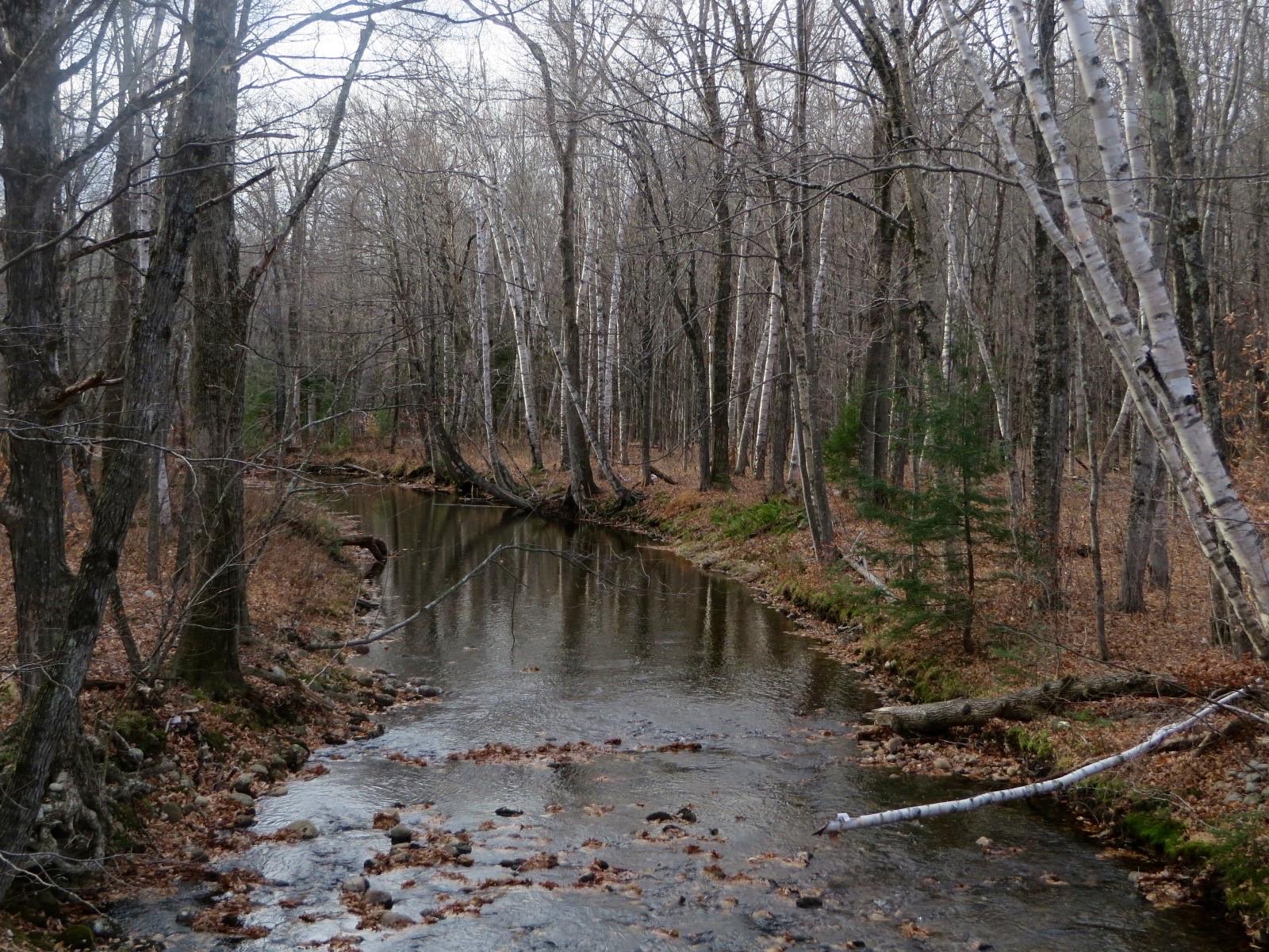
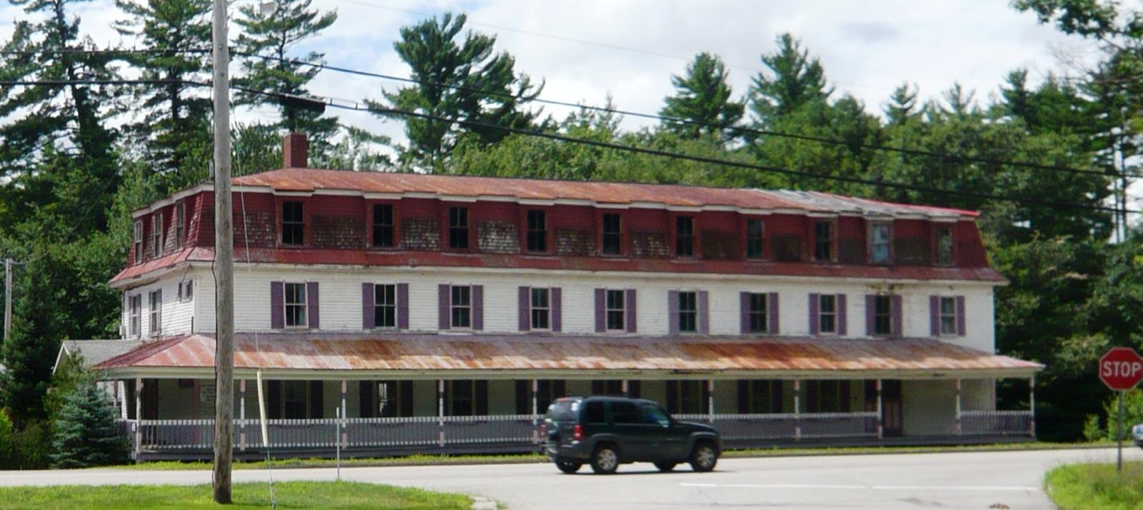
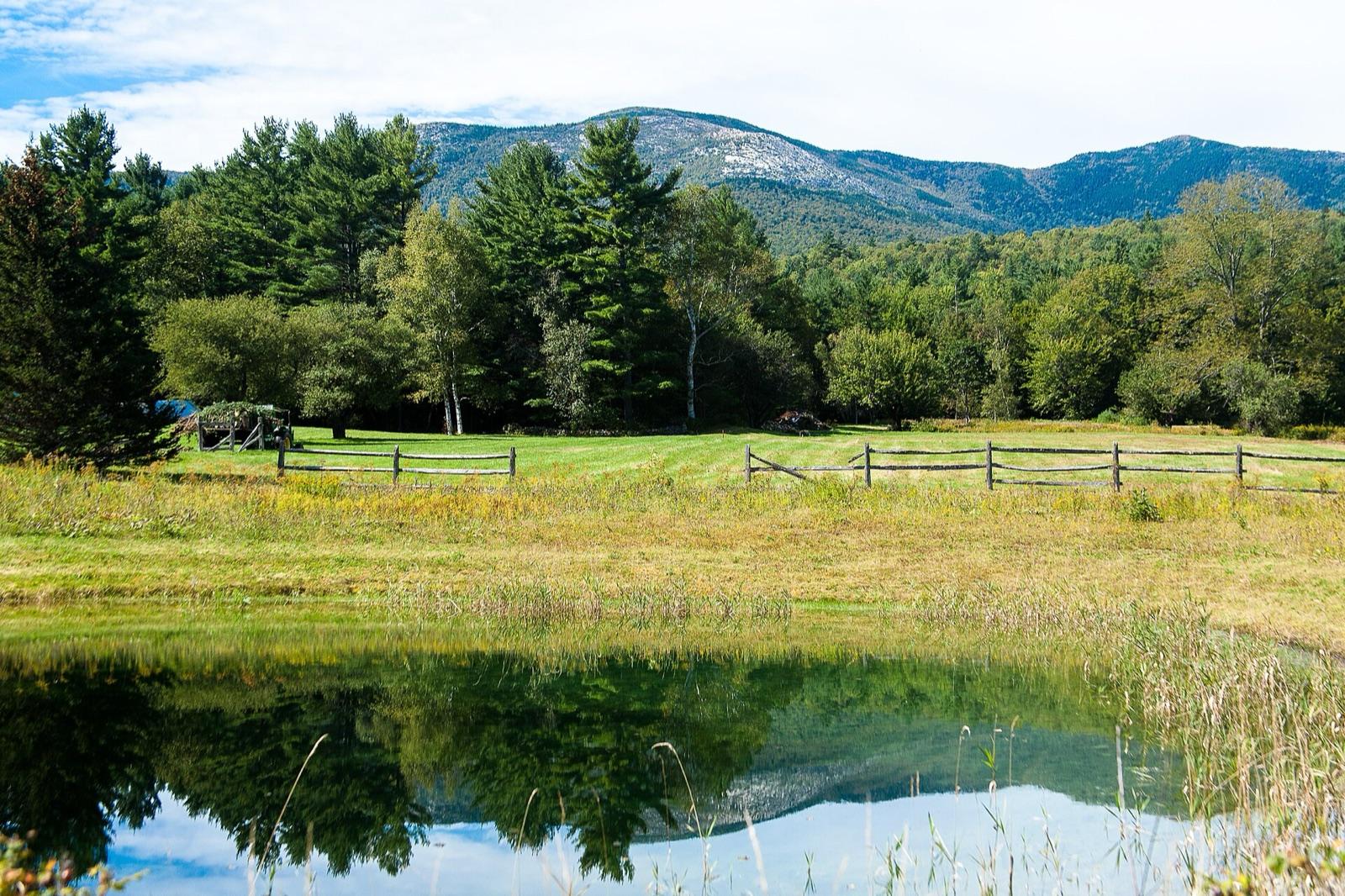
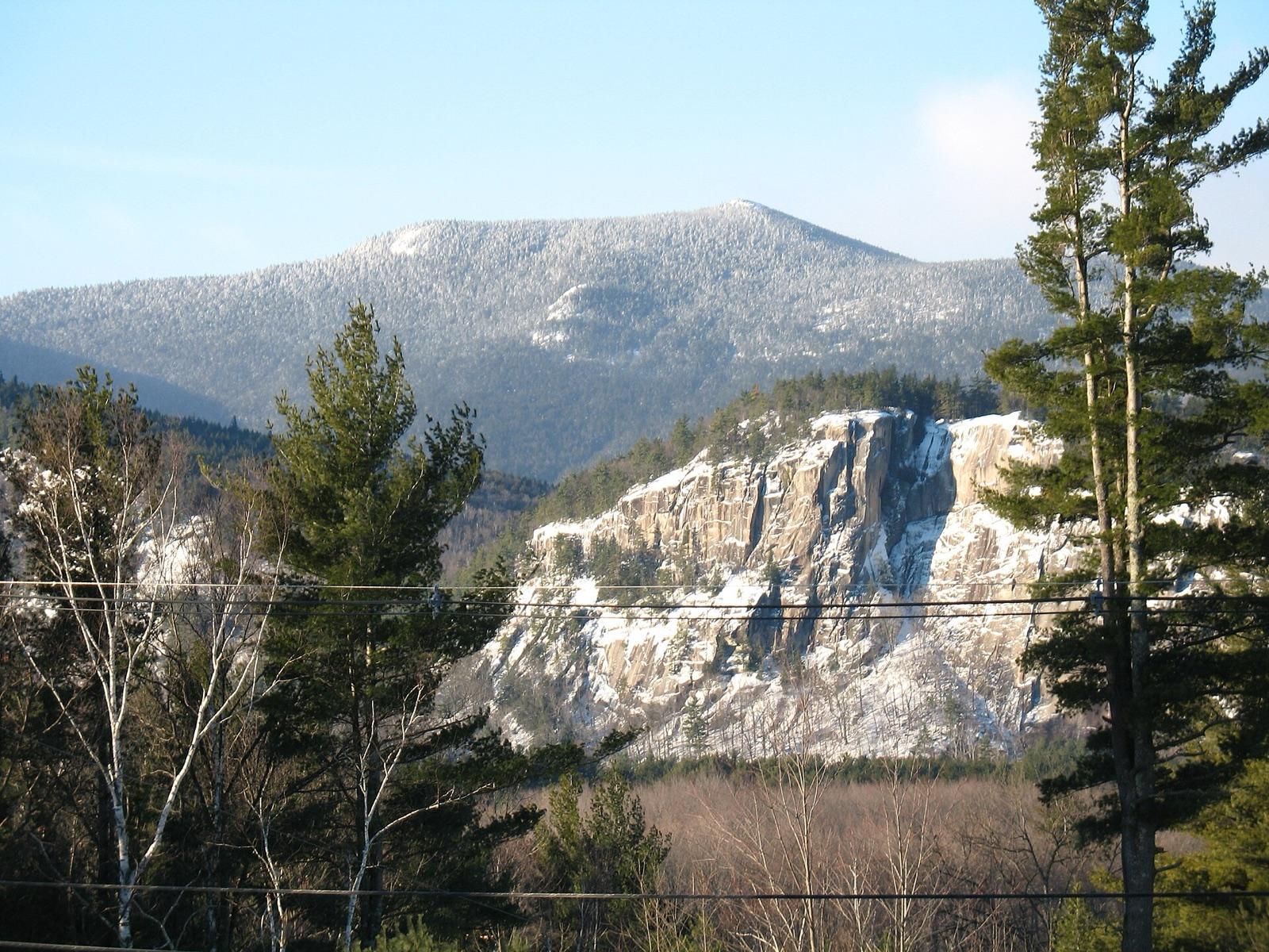
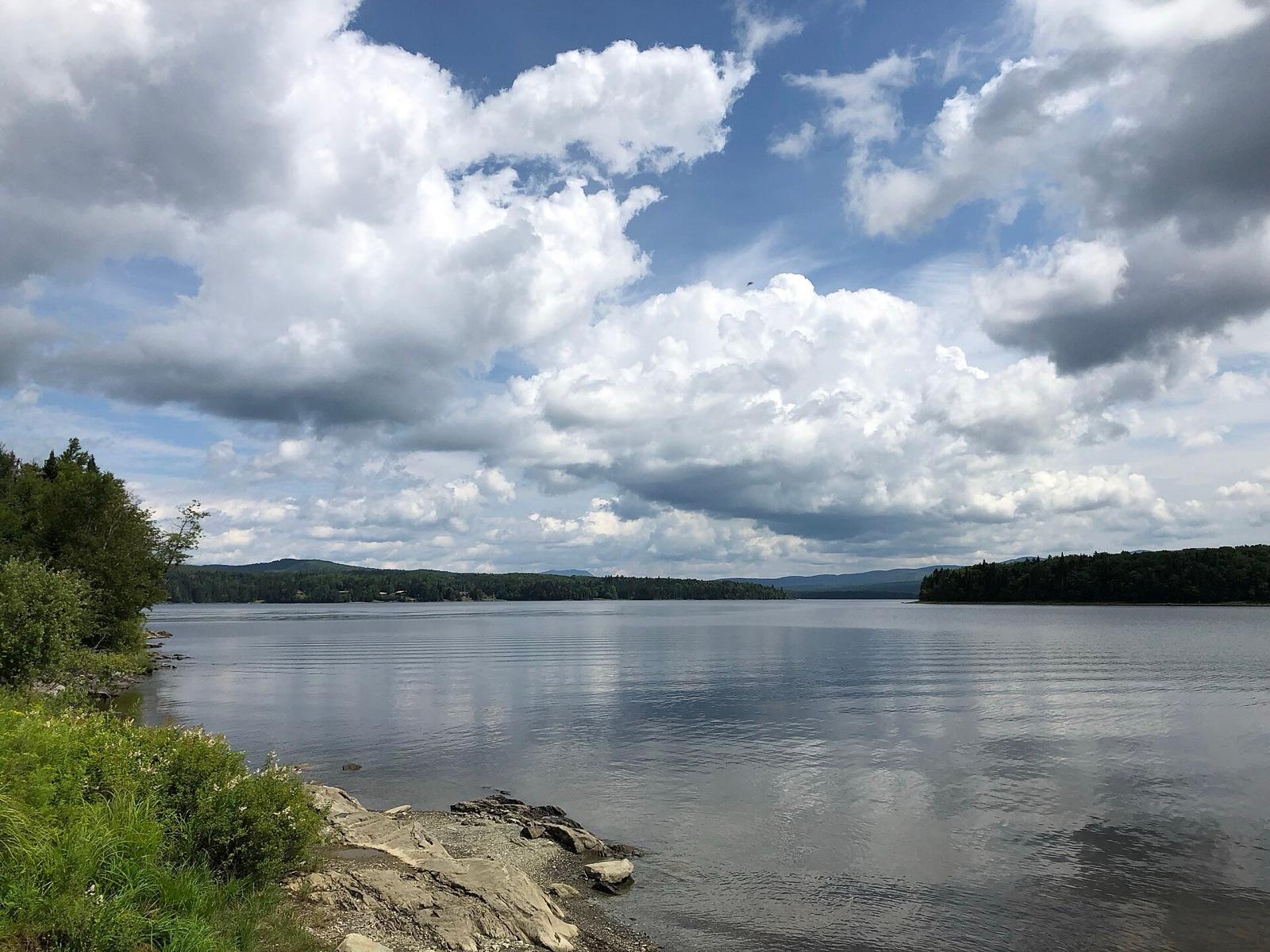
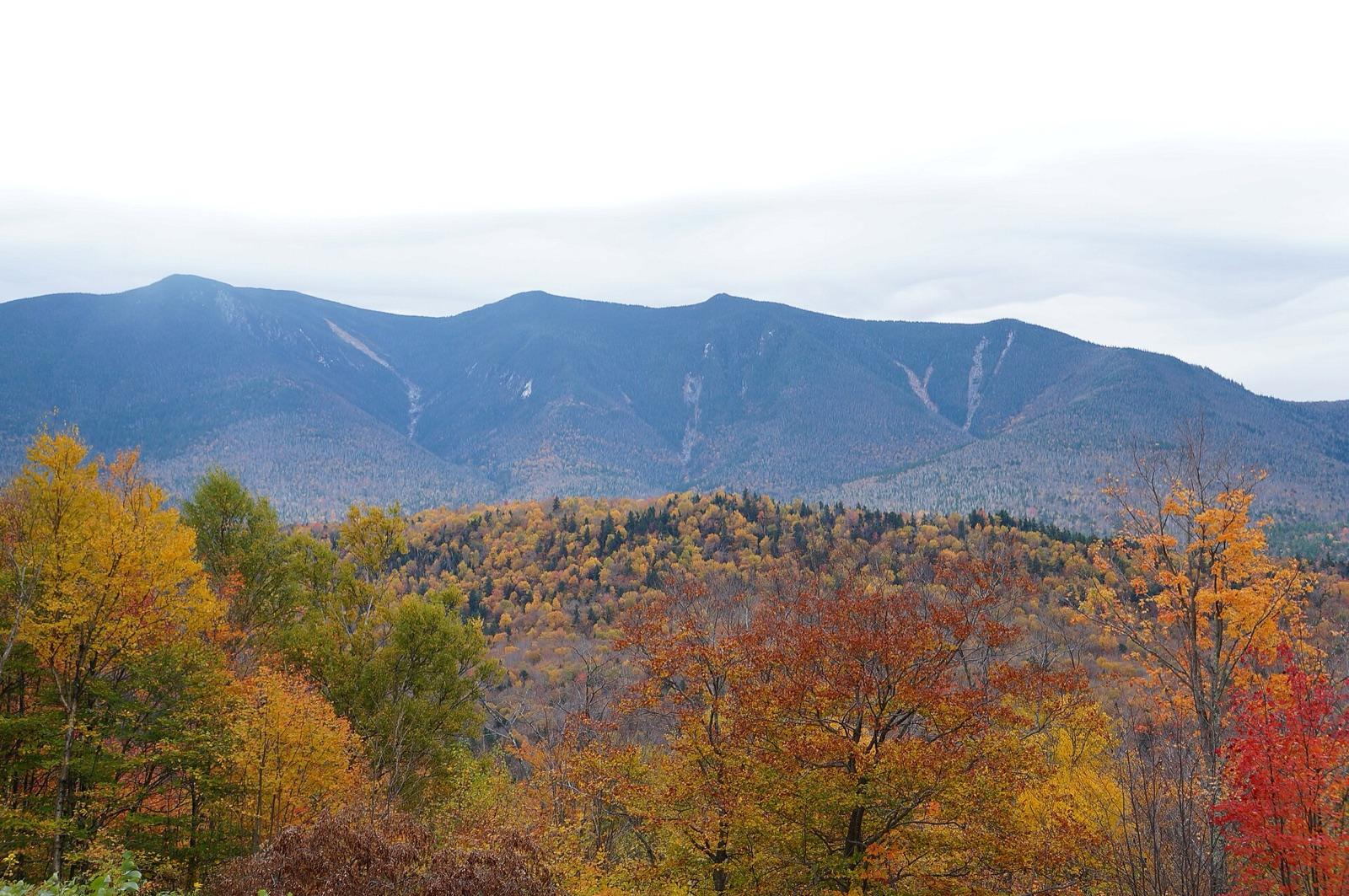
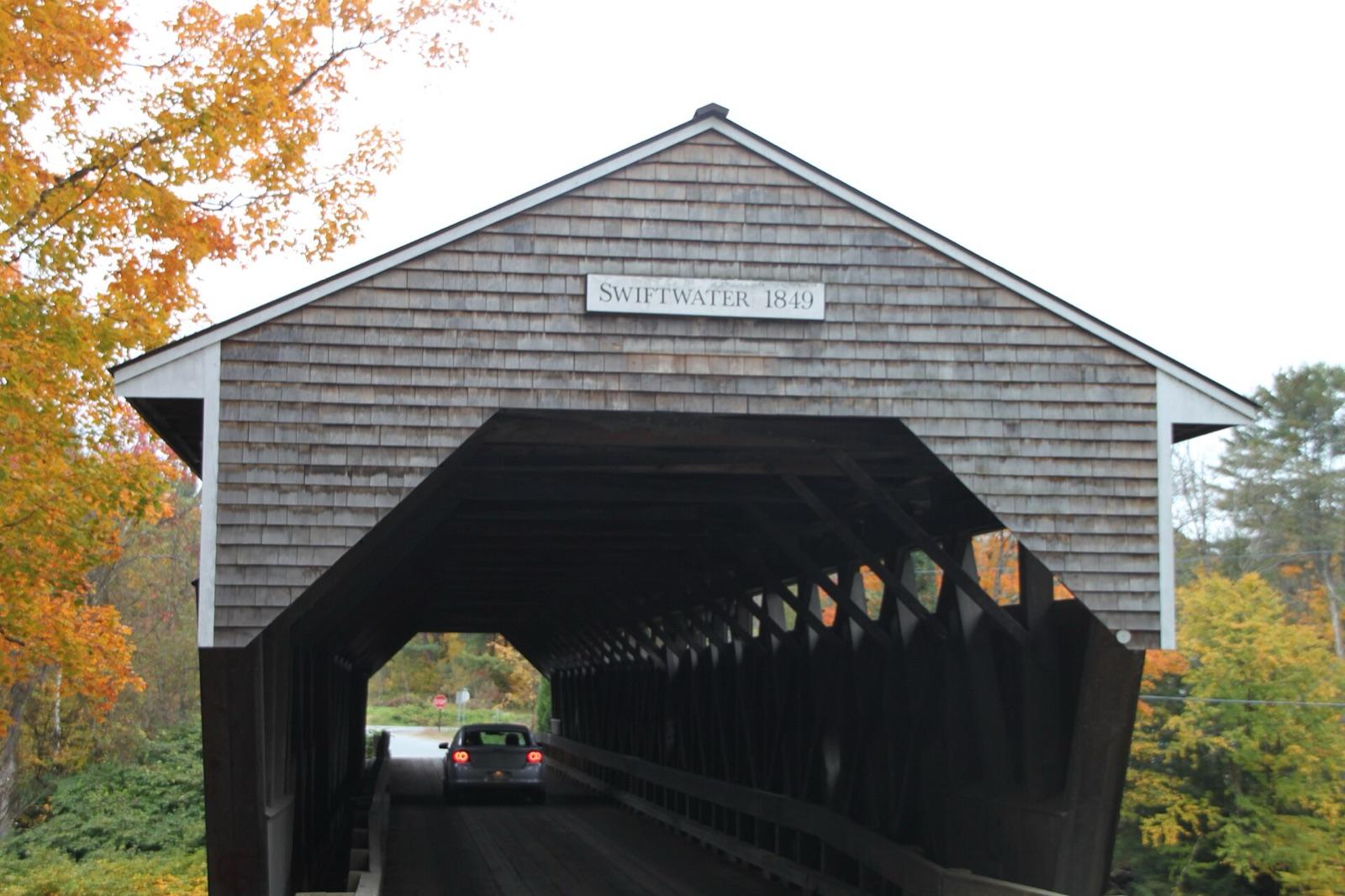
New Hampshire rockhounding photos

Representative spot and material photos from locations in this state, shown where verified public image records are available.

5 photos

Map showing 38 rockhounding spots in New Hampshire

Top minerals found in New Hampshire

Counts reflect how many spots in this list mention each mineral.

Rockhounding near major New Hampshire cities

Day-trip range. Each section lists the closest mapped rockhounding spots within about 150 miles of the city — most are inside a 2 to 3 hour drive.

Neighboring states with rockhounding

Geology rarely respects state borders. These states share mapped rockhounding country with New Hampshire — useful when New Hampshire is the start, not the whole trip. Each card links to the closest county across the line.

Rockhounding by county in New Hampshire

County pages are linked once we have at least 3 mapped spots for a focused guide with coordinates, mineral notes, and nearby spots.

Top picks in New Hampshire

7 best spots

Hand-picked standouts from the New Hampshire list, chosen for unusual mineralogy, documented public access, or both. Each card links to coordinates, access notes, and what to look for.

Every rockhounding spot in New Hampshire

Sorted by county. Tap coordinates to open in Google Maps, or open RockHoundR for the full map view with land overlays and weather.

SpotCountyMineralsCoordinatesAccess
GilmantonMeadow Pond RoadBelknap County43.4171, -71.4128Public
ConwayCarroll County44.0043, -71.1622Public
Deer Hill Mineral Collecting AreaDeer Hill Road (FR 9)Carroll County44.2025, -70.9770Public
Hurricane MountainHurricane Mountain RoadCarroll County44.0712, -71.0741Public
Province LakeRemick RoadCarroll County43.6920, -71.0153Public
RedstoneOuter LimitsCarroll County44.0195, -71.0968Public
South Baldface MountainBaldface Circle TrailCarroll County44.2103, -71.0517Public
Bald HillDavis RoadCheshire County42.9589, -72.2221Public
Bassett HillScholtz RoadCheshire County42.9580, -72.1910Public
Derry HillCochran RoadCheshire County43.0448, -72.3717Public
HinsdaleAshuelot Rail TrailCheshire County42.7862, -72.4658Public
Park HillPartridge Brook RoadCheshire County42.9712, -72.4597Public
Spofford LakeRoute 63Cheshire County42.9136, -72.4541Public
WinchesterCheshire County42.7873, -72.3307Public
Indian StreamIndian Stream RoadCoös County45.2811, -71.2916Public
Mount JasperWillard StreetCoös County44.4852, -71.1934Public
StratfordSugarloaf Mountain TrailCoös County44.7359, -71.4411Permission
Victor HeadOld Summer Club TrailCoös County44.6435, -71.4102Permission
Beech HillGrafton County43.9105, -71.9165Public
Grafton CountyMain StreetGrafton County44.2685, -71.6074Public
HanoverHolts Ledge TrailGrafton County43.7354, -72.1427Check locally
LisbonValley View DriveGrafton County44.2205, -71.9050Public
Melvin Hill (Grafton)Palmer RoadGrafton County43.5581, -72.0715Public
North GrotonPalermo Mine RoadGrafton County43.7513, -71.8891Public
Ore HillSunset Hill RoadGrafton County44.2002, -71.7910Public
OrfordMud Turtle Pond RoadGrafton County43.8811, -72.1165Public
Pearl LakeScotland RoadGrafton County44.1967, -71.8682Public
Ruggles MineRuggles Mine RoadGrafton County43.5895, -71.9924Public
Ruggles MineRuggles Mine RoadGrafton County
    43.5896, -71.9939Paid / fee
    Tunnel BrookTunnel Brook RoadGrafton County44.0930, -71.9000Public
    Wild Ammonoosuc RiverRoute 112Grafton County44.1487, -71.9375Public
    FrancestownNew Boston RoadHillsborough County42.9891, -71.8063Public
    Mount KearsageWinslow TrailMerrimack County43.3840, -71.8575Public
    Severance HillMerrimack County43.5237, -71.8994Public
    RaymondRockingham County43.0037, -71.2082Public
    Beryl MountainBeryl Mountain RoadSullivan County43.1810, -72.2941Public
    Melvin HillLogging RoadSullivan County43.5130, -71.9871Public
    Pillsbury RidgeOld Grafton RoadSullivan County43.5350, -71.9944Public

    New Hampshire rockhounding FAQ

    Is rockhounding legal in New Hampshire?+
    Casual hand collecting is allowed on most BLM and U.S. Forest Service land in New Hampshire, with daily and annual limits set by the managing field office. National parks, most state parks, and tribal lands are off-limits. Always confirm rules with the local agency before a trip.
    What rocks and minerals can you find in New Hampshire?+
    New Hampshire spots in this list most commonly produce Beryl, Amethyst, Smoky Quartz, Feldspar, Staurolite. The full list across all spots is broader.
    How many rockhounding sites are in New Hampshire?+
    RockHoundR currently lists 38 rockhounding spots in New Hampshire across 9 counties. Many more exist; the app keeps your private finds saved alongside the public ones.
    Can I take rocks home from New Hampshire public land?+
    On most BLM and Forest Service land, recreational hand collecting of common rocks and minerals is allowed in reasonable amounts. Vertebrate fossils, archaeological items, and posted mining-claim minerals are not. Check the field office for current limits.

    Map every New Hampshire spot in the app

    Open the RockHoundR app to see New Hampshire on a real map with public land overlays, weather, geology, and your saved finds.

    Download on the App StoreGet it on Google Play