
West desert / Thomas Range
Topaz Mountain topaz, red beryl float (display only, claims are tight), bertrandite, opal, and bixbyite. Topaz Mountain has a permanent public collecting area.
Updated October 2026
270 mapped spots for rock hunting and rock collecting across 29 counties. Utah has several well-known rockhounding areas close enough to build a trip around: Topaz Mountain, the Dugway geode beds, the San Rafael Swell, and the trilobite beds near Delta. Common targets include topaz, red beryl, geodes, trilobites, and septarian nodules.
The best rockhounding in Utah is at Frisco in Beaver County (azurite, barite), San Rafael Swell in Emery County (agatized wood, amethyst), and Dugway Range in Juab County (beryl, chalcedony). In total, 270 mapped collecting spots across 29 counties produce pyrite, galena, and malachite, each listed below with its land access.
 Best spotFriscoBeaver County, UtahPublic access · Azurite, Barite, Calamine +12Best spotGold HillTooele County, UtahPublic access · Azurite, Cerussite, Chalcopyrite +11Best spotMarysvillePiute County, UtahPublic access · Cinnabar, Alunite, Albite +11
 Best spotTopaz Dome QuarryJuab County, UtahPermission required · Beryl, Calcite, Bixbyite +10Best spotSan Rafael SwellEmery County, UtahPublic access · Agatized Wood, Amethyst, Carnotite +6Best spotSpor MountainJuab County, UtahCheck locally · Fluorite, Bertrandite, Carnotite +6Best spotGreat Salt LakeTooele County, UtahPublic access · Aragonite, Bloedite, Gypsum +3Best spotDugway RangeJuab County, UtahPublic access · Beryl, Chalcedony, Fluorite +2Best spotHanksvilleWayne County, UtahPublic access · Agate, Jasper, Petrified WoodBest spotBlack RockMillard County, UtahPublic access · Snowflake Obsidian
 AltaSalt Lake County, UtahPublic access · Apatite, Biotite, Barite +14Henry mining districtSevier County, UtahPublic access · Hematite, Limonite, Pyrolusite +13Dugway mining districtTooele County, UtahPublic access · Agate, Amethyst, Apatite +12Lincoln GulchBeaver County, UtahPublic access · Amethyst, Azurite, Calcite +12Park City mining districtSummit County, UtahPublic access · Barite, Calcite, Chlorite +12San Francisco MountainsBeaver County, UtahPublic access · Diopside, Fluorite, Galena +12Vipont MineBox Elder County, UtahPublic access · Azurite, Cerussite, Copper +12
 Big Indian WashSan Juan County, UtahCheck locally · Coffinite, Doloresite, Uraninite +11Bullion CanyonPiute County, UtahCheck locally · Azurite, Barite, Cerussite +11Cactus MineBeaver County, UtahPublic access · Azurite, Barite, Chalcopyrite +11Clifton mining districtTooele County, UtahPublic access · Agate, Azurite, Dolomite +11Desert MountainJuab County, UtahPublic access · Antlerite, Bornite, Fluorite +11Drum MountainsJuab County, UtahPublic access · Agate, Jasper, Pyrolusite +11Pilot RangeBox Elder County, UtahPublic access · Alunite, Azurite, Barite +11Star RangeBeaver County, UtahPublic access · Bismutite, Rhodochrosite, Fluorite +11Big Cottonwood mining districtSalt Lake County, UtahPublic access · Actinolite, Barite, Orthoclase +10Granite MountainIron County, UtahPublic access · Actinolite, Albite, Amethyst +10Little CottonwoodSalt Lake County, UtahPermission required · Apatite, Alunite, Biotite +10Tintic MountainsJuab County, UtahPublic access · Pyrolusite, Siderite, Cerussite +10Amasa ValleyMillard County, UtahCheck locally · Albite, Biotite, Diopside +9Antelope IslandDavis County, UtahPermission required · Garnet, Azurite, Biotite +9Monticello mining districtSan Juan County, UtahPublic access · Anhydrite, Carnotite, Gypsum +9Santaquin & Silver Lake mining districtsUtah County, UtahPublic access · Actinolite, Andradite, Argentite +9Bingham CanyonSalt Lake County, UtahPublic access · Actinolite, Barite, Bismuth +8Bradshaw MountainsBeaver County, UtahPublic access · Amethyst, Tourmaline, Tremolite +8Copper Globe and other mines in San Rafael districtEmery County, UtahPublic access · Anglesite, Azurite, Cerussite +8East Erickson mining districtTooele County, UtahPublic access · Galena, Pyrite, Quartz +8Fish SpringsJuab County, UtahPublic access · Gold, Lead, Silver +8Miner's BasinGrand County, UtahPublic access · Actinolite, Calcite, Chalcedony +8Wah Wah MountainsBeaver County, UtahPermission required · Cerussite, Galena, Pyrite +8Duchesne CountyDuchesne County, UtahPermission required · Analcite, Anhydrite, Crocidolite +7East Tintic MountainsUtah County, UtahPublic access · Albite, Alunite, Bornite +7Rocky RangeBeaver County, UtahPublic access · Magnetite, Wulfenite, Azurite +7Yellow Canary Uranium DepositDaggett County, UtahPublic access · Azurite, Bornite, Brochantite +7Deep Creek MountainsJuab County, UtahPermission required · Beryl, Fluorite, Scheelite +6La Sal MountainsSan Juan County, UtahPublic access · Amethyst, Azurite, Bornite +6Little Drum MountainsMillard County, UtahPublic access · Azurite, Cuprite, Chalcedony +6Promontory MountainsBox Elder County, UtahPublic access · Cerussite, Bornite, Calamine +6Salt ValleyGrand County, UtahPermission required · Azurite, Carnallite, Gold +6Carbonate Gem MinesSalt Lake County, UtahPublic access · Anglesite, Barite, Cerussite +5MercurTooele County, UtahPublic access · Cinnabar, Gold, Orpiment +5ModenaIron County, UtahPermission required · Argentite, Gold, Limonite +5San Rafael RiverEmery County, UtahPublic access · Agate, Anhydrite, Carnotite +5Thomas RangeJuab County, UtahPublic access · Agate, Beryl, Chalcedony +5Thompson SpringsGrand County, UtahPublic access · Agate, Agatized Clam, Anhydrite +5Thompson SpringsGrand County, UtahPublic access · Agate, Agatized Clam, Jasper +5WillardBox Elder County, UtahPublic access · Stibnite, Galena, Hematite +5AgateGrand County, UtahPublic access · Agate, Chalcedony, Chert +4Cedar Mountain areaEmery County, UtahPublic access · Agate, Anhydrite, Carnotite +4Colorado RiverGrand County, UtahPublic access · Agate, Chalcedony, Chert +4FairfieldUtah County, UtahPublic access · Chalcedony, Chert, Limonite +4Lucky Strick and other mines in San Rafael districtEmery County, UtahPublic access · Bieberite, Chalcopyrite, Galena +4Painter SpringMillard County, UtahPublic access · Garnet, Idocrase, Microcline +4Silver Island MountainsTooele County, UtahPublic access · Azurite, Barite, Cerussite +4Temple MountainEmery County, UtahPublic access · Ankerite, Carnotite, Dolomite +4Thomas RangeJuab County, UtahPermission required · Beryl, Calcite, Fluorite +4WoodsideEmery County, UtahPublic access · Agate, Carnotite, Chalcedony +4Brumley RidgeSan Juan County, UtahPublic access · Apatite, Augite, Magnetite +3Dutch MountainTooele County, UtahPublic access · Augite, Azurite, Cerussite +3Great Salt LakeSalt Lake County, UtahPublic access · Aragonite, Bloedite, Gypsum +3La Sal mining districtSan Juan County, UtahPublic access · Azurite, Malachite, Carnotite +3Moab ValleySan Juan County, UtahPermission required · Anhydrite, Carnallite, Gypsum +3Monument ValleySan Juan County, UtahPermission required · Corvusite, Uraninite, Autunite +3OphirTooele County, UtahPublic access · Galena, Gold, Pyrite +3OrdervilleKane County, UtahPublic access · Septarian Nodule, Agate, Anhydrite +3Raft River MountainsBox Elder County, UtahPublic access · Gold, Arsenopyrite, Chalcopyrite +3SalduroTooele County, UtahPublic access · Carnallite, Halite, Kainite +3San Juan RiverSan Juan County, UtahPermission required · Anhydrite, Chalcopyrite, Copper +3Sevenmile CanyonGrand County, UtahPermission required · Bornite, Carnotite, Chalcocite +3Arthur's ForkMorgan County, UtahPublic access · Biotite, Monazite, Molybdenite +2Beaver Lake MountainsBeaver County, UtahPublic access · Azurite, Malachite, Andalusite +2Cedar CityIron County, UtahPublic access · Agate, Moss Agate, Chalcedony +2Circle CliffsGarfield County, UtahPermission required · Agate, Chalcedony, Jasper +2Farmington mining districtDavis County, UtahPublic access · Azurite, Chalcopyrite, Gold +2GlenwoodSevier County, UtahPublic access · Anhydrite, Geode, Gypsum +2Great Salt LakeBox Elder County, UtahPublic access · Aragonite, Bloedite, Glauberite +2Great Salt LakeDavis County, UtahPublic access · Aragonite, Bloedite, Glauberite +2Iron PeakIron County, UtahPublic access · Andesite, Augite, Biotite +2Kitchen Corral WashKane County, UtahPermission required · Barite, Calcite, Chalcedony +2Little Bear RiverCache County, UtahPublic access · Anglesite, Azurite, Cerussite +2Moses RockSan Juan County, UtahPermission required · Arizona Ruby Garnet, Chlorite, Corundum +2Rock Candy MountainSevier County, UtahPublic access · Alunite, Jarosite, Limonite +2Salina CreekSevier County, UtahPublic access · Azurite, Chalcopyrite, Galena +2SE Grand CountyGrand County, UtahPermission required · Agate, Chalcedony, Chert +2Swan CreekRich County, UtahPublic access · Azurite, Barite, Cerussite +2The NeedlesGrand County, UtahPublic access · Barite, Calcite, Manganite +2Twin PeakMillard County, UtahPublic access · Andesine, Apatite, Augite +2Uinta MountainsDaggett County, UtahPublic access · Glauconite, Collophane, Apatite +2Uinta MountainsDuchesne County, UtahPermission required · Apatite, Collophane, Fluorapatite +2Uteland Knoll mining districtUintah County, UtahPermission required · Azurite, Chalcocite, Gypsum +2AxtellSanpete County, UtahPublic access · Galena, Marcasite, Pyrite +1Brush CreekUintah County, UtahPublic access · Apatite, Fluorapatite, Francolite +1Cedar CanyonIron County, UtahPublic access · Anhydrite, Carnotite, Gypsum +1Centennial Eureka MineJuab County, UtahPermission required · Quartz, Copper, Malachite +1CoalvilleSummit County, UtahPublic access · Manganite, Psilomelane, Pyrolusite +1ColtonCarbon County, UtahPublic access · Albertite, Ingramite, Nitrite +1Courthouse WashGrand County, UtahPermission required · Barite, Calcite, Limonite +1Crater IslandBox Elder County, UtahPermission required · Bornite, Calcite, Chalcopyrite +1EscalanteGarfield County, UtahPermission required · Petrified Dinosaur Bone, Agate, Monazite +1FillmoreMillard County, UtahPublic access · Anhydrite, Gypsite, Gypsum +1Gold MountainPiute County, UtahPublic access · Alunite, Barite, Garnet +1Goshute ReservationJuab County, UtahPermission required · Beryl, Muscovite, Quartz +1Hills by Colorado RiverGrand County, UtahPublic access · Agatized Clam, Agatized Dinosaur Bone, Jasperized Dinosaur Bone +1House RangeMillard County, UtahPublic access · Diopside, Garnet, Idocrase +1Ibapah MountainsTooele County, UtahPublic access · Aquamarine, Barite, Beryl +1La Plata area claims and minesWeber County, UtahPublic access · Galena, Malachite, Cerussite +1Mineral PointCache County, UtahPublic access · Hematite, Quartz, Siderite +1Monroe CanyonSevier County, UtahPublic access · Brockite, Jarosite, Monazite +1Poison StripGrand County, UtahCheck locally · Carnotite, Agate, Petrified Wood +1San Rafael SwellEmery County, UtahPublic access · Jasper, Agate, Nodule +1Sevier CanyonSevier County, UtahPublic access · Alunite, Anhydrite, Gypsum +1Sevier LakeMillard County, UtahPublic access · Chalcedony, Galena, Garnet +1SigurdSevier County, UtahPermission required · Anhydrite, Gypsum, Halite +1South Temple WashEmery County, UtahPublic access · Autunite, Carnotite, Corvusite +1Stansbury MountainsTooele County, UtahPermission required · Cerussite, Galena, Gold +1Sweet Water CanyonUintah County, UtahPublic access · Agate, Chalcedony, Jasper +1Three PeaksIron County, UtahPublic access · Apatite, Hematite, Lodestone +1TorreyWayne County, UtahPublic access · Agate, Jasper, Petrified Dinosaur Bone +1West SpringBeaver County, UtahCheck locally · Brucite, Clinohumite, Ludwigite +1Antelope RangePiute County, UtahPublic access · Limonite, Pyrolusite, TorberniteCastle DaleEmery County, UtahPublic access · Agate, Agatized Dinosaur Bone, Petrified WoodClayton PeakWasatch County, UtahPublic access · Spinel, Vesuvianite, ChabaziteDuchesneDuchesne County, UtahPermission required · Albertite, Sepiolite, WurtziliteFool CreekMillard County, UtahPermission required · Azurite, Limonite, MalachiteGrouse Creek MountainsBox Elder County, UtahPublic access · Epidote, Stolzite, ScheeliteGunnisonSanpete County, UtahPublic access · Anhydrite, Gypsum, HaliteHanksvilleWayne County, UtahPublic access · Agate, Jasper, Petrified WoodHenry MountainsGarfield County, UtahPublic access · Ilmenite, Monazite, ZirconHurricaneWashington County, UtahPublic access · Aragonite, Calcite, HydrozinciteIndian PeakBeaver County, UtahPublic access · Calcite, Fluorite, QuartzJohnson PassTooele County, UtahPublic access · Onyx, Calcite, GalenaKaiparowits PlateauKane County, UtahPermission required · Ilmenite, Monazite, ZirconKanab CreekKane County, UtahPublic access · Silicified Wood, Anhydrite, GypsumKanarravilleIron County, UtahPublic access · Anhydrite, Autunite, GypsumLake MountainUtah County, UtahPermission required · Endellite, Halloysite, OlivineLakeside MountainsTooele County, UtahPublic access · Anglesite, Cerussite, GalenaLisbon ValleySan Juan County, UtahCheck locally · Azurite, Cuprite, MalachiteMayfieldSanpete County, UtahPublic access · Anhydrite, Gypsum, HaliteNewton DistrictBeaver County, UtahPublic access · Gold, Pyrite, QuartzPariaKane County, UtahPermission required · Azurite, Cuprite, MalachiteSevier CanyonSevier County, UtahPublic access · Azurite, Copalite, MalachiteSimpson SpringsTooele County, UtahPublic access · Geode, Nodule, MorganiteSoldier SummitWasatch County, UtahPublic access · Albertite, Ingramite, OzokeriteStrawberry MineMorgan County, UtahPublic access · Gold, Silver, CopperTenmile WashGrand County, UtahPublic access · Barite, Calcite, PyrolusiteThorpe HillsUtah County, UtahPublic access · Azurite, Malachite, SylvaniteTintic Prince MineTooele County, UtahPublic access · Galena, Quartz, PyriteTopaz Mountain Rockhound Recreation AreaJuab County, UtahPublic access · Topaz, Trilobite Fossil, GeodeTopliff HillTooele County, UtahPublic access · Cerussite, Malachite, PyriteWells CanyonUtah County, UtahPublic access · Calcite, Quartz, SmithsoniteAgate HillGarfield County, UtahPublic access · Agate, ChalcedonyAntelope SpringsJuab County, UtahPublic access · Limonite, PyriteBald MesaGrand County, UtahPublic access · Gold, PyrolusiteBear River RangeCache County, UtahPublic access · Galena, MalachiteBeaver CanyonMorgan County, UtahPublic access · Psilomelane, PyrolusiteBeaver Dam WashWashington County, UtahPublic access · Agate, JasperBig Cottonwood CanyonSalt Lake County, UtahPublic access · Azurite, MalachiteBrian Head AgatesIron County, UtahPublic access · Dendritic Agate, ChalcedonyCannonvilleGarfield County, UtahPublic access · Anhydrite, GypsumColorado RiverGarfield County, UtahPermission required · Gold, MagnetiteColorado RiverGrand County, UtahPublic access · Chromite, GoldColorado RiverKane County, UtahPermission required · Gold, MagnetiteColorado RiverSan Juan County, UtahPermission required · Chromite, GoldCopper GulchBeaver County, UtahPublic access · Garnet, TourmalineCove FortMillard County, UtahPermission required · Fluorite, SulfurCricket MountainsMillard County, UtahPublic access · Dolomite, HematiteDog ValleyMillard County, UtahPublic access · Chalcedony, FluoriteDragonUintah County, UtahPermission required · Gilsonite, UintaiteDugway Geode BedsJuab County, UtahPublic access · Dendritic Agate, ChalcedonyDugway Geode BedsJuab County, UtahPublic access · Dendritic Agate, ChalcedonyDugway RangeTooele County, UtahPermission required · Amethyst, QuartzDyer MineUintah County, UtahPublic access · Azurite, MalachiteEmerySevier County, UtahPublic access · Agate, Jasperized Dinosaur BoneFountain GreenSanpete County, UtahPublic access · Jasper, PyrolusiteGlendaleKane County, UtahPublic access · Anhydrite, GypsumGreat Salt FlatsTooele County, UtahPublic access · Halite, SylviteGypsum CreekSan Juan County, UtahPermission required · Anhydrite, GypsumHells Hole CanyonUintah County, UtahPublic access · Analcite, ApophylliteHenry MountainsGarfield County, UtahPublic access · Carnotite, BentoriteHiteGarfield County, UtahPermission required · Gold, PlatinumKanoshMillard County, UtahPublic access · Anhydrite, GypsumKimball ValleyKane County, UtahPermission required · Anhydrite, GypsumLittle ValleyGrand County, UtahPublic access · Limonite, PyrolusiteLogan CanyonCache County, UtahPublic access · Cacotrichite, GalenaOgdenWeber County, UtahPublic access · Azurite, MalachitePromontory PointBox Elder County, UtahPublic access · Obsidian, VarisciteSilver ReefWashington County, UtahPublic access · Lead, SilverSmithfieldCache County, UtahPublic access · Cerussite, SmithsoniteTwelve Mile CanyonSanpete County, UtahPublic access · Autunite, TorberniteWonderstone QuarryTooele County, UtahPublic access · Wonderstone, RhyoliteWood CanyonMillard County, UtahPublic access · Galena, SphaleriteAlunite RidgePiute County, UtahCheck locally · AluniteAntelope CanyonDuchesne County, UtahPermission required · WurtziliteAzurite BlueberriesSan Juan County, UtahFee dig · AzuriteBair CanyonDavis County, UtahPublic access · TremoliteBartlett WashGrand County, UtahPublic access · ChertBartlett WashGrand County, UtahPublic access · ChertBear GulchSalt Lake County, UtahPublic access · GoldBig Pinto SpringBeaver County, UtahPublic access · AluniteBirch CreekBox Elder County, UtahPublic access · KyaniteBlawn MountainBeaver County, UtahPublic access · AluniteBlue ValleyBeaver County, UtahPublic access · Black AgateBluffSan Juan County, UtahPermission required · GoldBonanza FlatWasatch County, UtahPermission required · Grossularite GarnetBoulder MountainsGarfield County, UtahPublic access · PyrolusiteBrowns HoleSan Juan County, UtahPublic access · CarnotiteCentralWashington County, UtahPublic access · GeodeChess RidgeSan Juan County, UtahPublic access · CarnotiteChinle WashSan Juan County, UtahPermission required · PyropeCircleville MountainPiute County, UtahPublic access · StelleriteCoaly WashWayne County, UtahPublic access · JetComb RidgeSan Juan County, UtahPermission required · Arizona Ruby GarnetCrawford MountainsRich County, UtahPublic access · PhosphoriteDeer Trail MountainPiute County, UtahCheck locally · AluniteDewey Bridge AgateGrand County, UtahPublic access · AgateDry Lake WashEmery County, UtahPublic access · PyrolusiteEphraimSanpete County, UtahPublic access · LimoniteFairviewSanpete County, UtahPublic access · BeidelliteFish LakeSevier County, UtahPublic access · OpalHenry MountainsWayne County, UtahPublic access · CarnotiteHurricaneWashington County, UtahPermission required · FossilIbapah PeakJuab County, UtahPublic access · BerylIndian CanyonSan Juan County, UtahPermission required · CarnotiteJensenUintah County, UtahPublic access · GoldJerichoJuab County, UtahPermission required · Plume AgateLaketown CanyonRich County, UtahPublic access · PhosphoriteMammoth CreekGarfield County, UtahPublic access · OnyxMantiSanpete County, UtahPublic access · EpsomiteMexican HatSan Juan County, UtahPublic access · UraniumMonitor ButteGrand County, UtahPublic access · AgateMontezuma CanyonSan Juan County, UtahPublic access · CarnotiteMount BelknapBeaver County, UtahPublic access · PyrolusiteMule EarSan Juan County, UtahPermission required · Pyrope GarnetNewcastleIron County, UtahPublic access · GeodeOwl Draw AgateGrand County, UtahPublic access · AgatePanguitchGarfield County, UtahPublic access · PyrolusiteParia RiverKane County, UtahPublic access · GoldPelican PointUtah County, UtahPublic access · OnyxPigeon Blood AgatesGrand County, UtahPublic access · AgateRat Hole CanyonUintah County, UtahPermission required · WurtziliteSams CanyonWasatch County, UtahPublic access · Lode GoldSan Rafael RiverEmery County, UtahPublic access · SulfurSan Rafael Swell CelestiteEmery County, UtahPublic access · CelestiteSan Rafael Swell CelestiteEmery County, UtahPublic access · CelestiteSevier LakeMillard County, UtahPublic access · CorundumSnake Creek near Heber CityWasatch County, UtahPermission required · GoldSnowvilleBox Elder County, UtahPublic access · VarisciteStrongs CanyonWeber County, UtahPublic access · GarnetSulphurdaleBeaver County, UtahPublic access · SulfurTabby CreekDuchesne County, UtahCheck locally · TabbyiteTable ButteIron County, UtahPublic access · ThundereggTable MountainEmery County, UtahPermission required · CarnotiteTrilobyte Me! QuarryMillard County, UtahFee dig · Trilobite FossilTushar MountainsPiute County, UtahPublic access · Fluorescent CalciteUpper Enterprise DamWashington County, UtahPublic access · AgateWah Wah Green GarnetsBeaver County, UtahPublic access · Green GarnetWonderstoneSevier County, UtahPublic access · WonderstoneWoodruff CreekRich County, UtahPublic access · PhosphoriteYellow Cat FlatGrand County, UtahPublic access · CarnotiteTopaz Dome QuarryJuab County, UtahFee dig
Representative spot and material photos from locations in this state, shown where verified public image records are available.
Counts reflect how many spots in this list mention each mineral.
Notable areas: Dugway geodes, Topaz Mountain topaz, Brian Head agate, and the trilobite quarries near Delta are common Utah trip targets.
Utah collecting breaks into three broad regions: the Basin and Range west of I-15, the Colorado Plateau in the east and southeast, and the Uinta-Wasatch mountain belt. Topaz Mountain, Dugway, the Thomas Range, and the House Range sit in the west desert. The San Rafael Swell is known for septarian nodules, agatized dinosaur bone, and picture sandstone. The House Range Cambrian shales produce trilobites at U-Dig and Antelope Springs.
Topaz Mountain topaz, red beryl float (display only, claims are tight), bertrandite, opal, and bixbyite. Topaz Mountain has a permanent public collecting area.
Trilobites at U-Dig and Antelope Springs, brachiopods, snail-shell fossils. Pay-to-dig and remote BLM ground.
Septarian nodules, agatized dinosaur bone (gem-quality bone may require permits, check rules), Moqui marbles, picture sandstones.
Garnet schist, hot-springs travertine, mine dump material above Park City and Alta. Heavy snow into June.
April through June and September through October are the easiest months. July and August in the west desert often clear 100°F with no shade. Mountain locations can stay snowbound through May.
Topaz Mountain in particular needs a 5-gallon bucket, 1/4-inch screen, geology pick, and patience for the heat. Trilobite digs supply hammers but bring safety glasses. Carry well more water than you think you'll need in the west desert.
Topaz Mountain has been a public collecting area since the 1970s, when BLM designated parts of it for recreational rockhounding. Red beryl, also called bixbite, was first described from the Thomas Range and remains a rare Utah gemstone.
Day-trip range. Each section lists the closest mapped rockhounding spots within about 150 miles of the city. Most are inside a 2 to 3 hour drive.
6 closest spots to Salt Lake City, UT.
6 closest spots to St. George, UT.
6 closest spots to Logan, UT.
Geology rarely respects state borders. These states share mapped rockhounding country with Utah, useful when Utah is the start, not the whole trip. Each card links to the closest county across the line.
County pages are linked once we have at least 3 mapped spots for a focused guide with coordinates, mineral notes, and nearby spots.
Hand-picked standouts from the Utah list, chosen for unusual mineralogy, documented public access, or both. Each card links to coordinates, access notes, and what to look for.
 Top pick
Beaver County
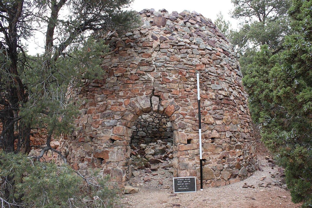
Frisco combines a major historic silver-lead camp with a long mineral list that includes copper carbonates, galena, sphalerite, pyrite, opal, and wulfenite.
Azurite, Barite, Calamine, Chalcocite
 Top pick
Emery County
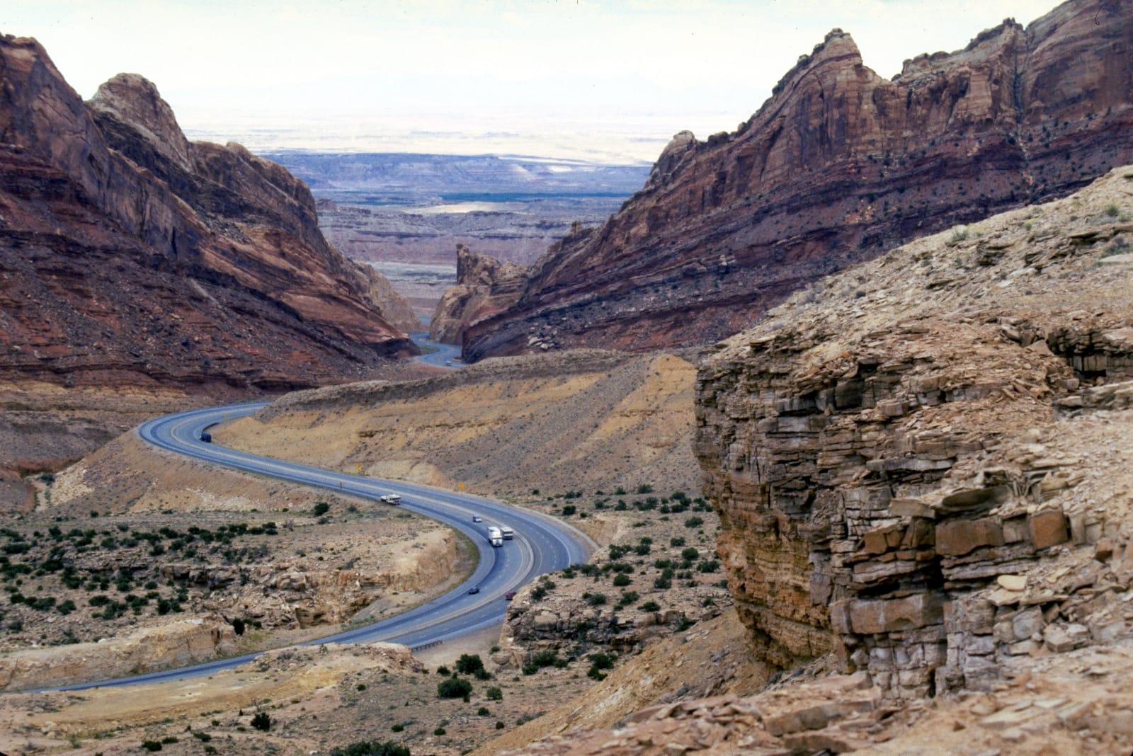
The San Rafael Swell is a broad exposed anticline where Morrison, Curtis, and Cedar Mountain strata carry local agate, jasper, chalcedony, petrified wood, and dinosaur-bone material.
Agatized Wood, Amethyst, Carnotite, Petrified Wood
 Top pick
Juab County
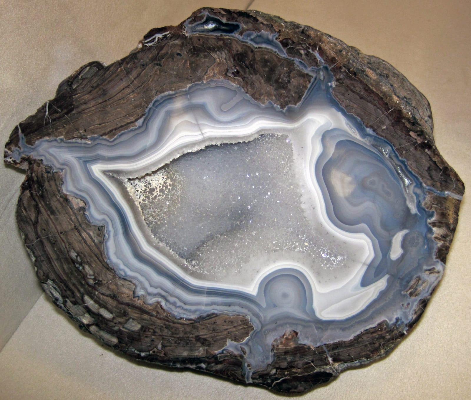
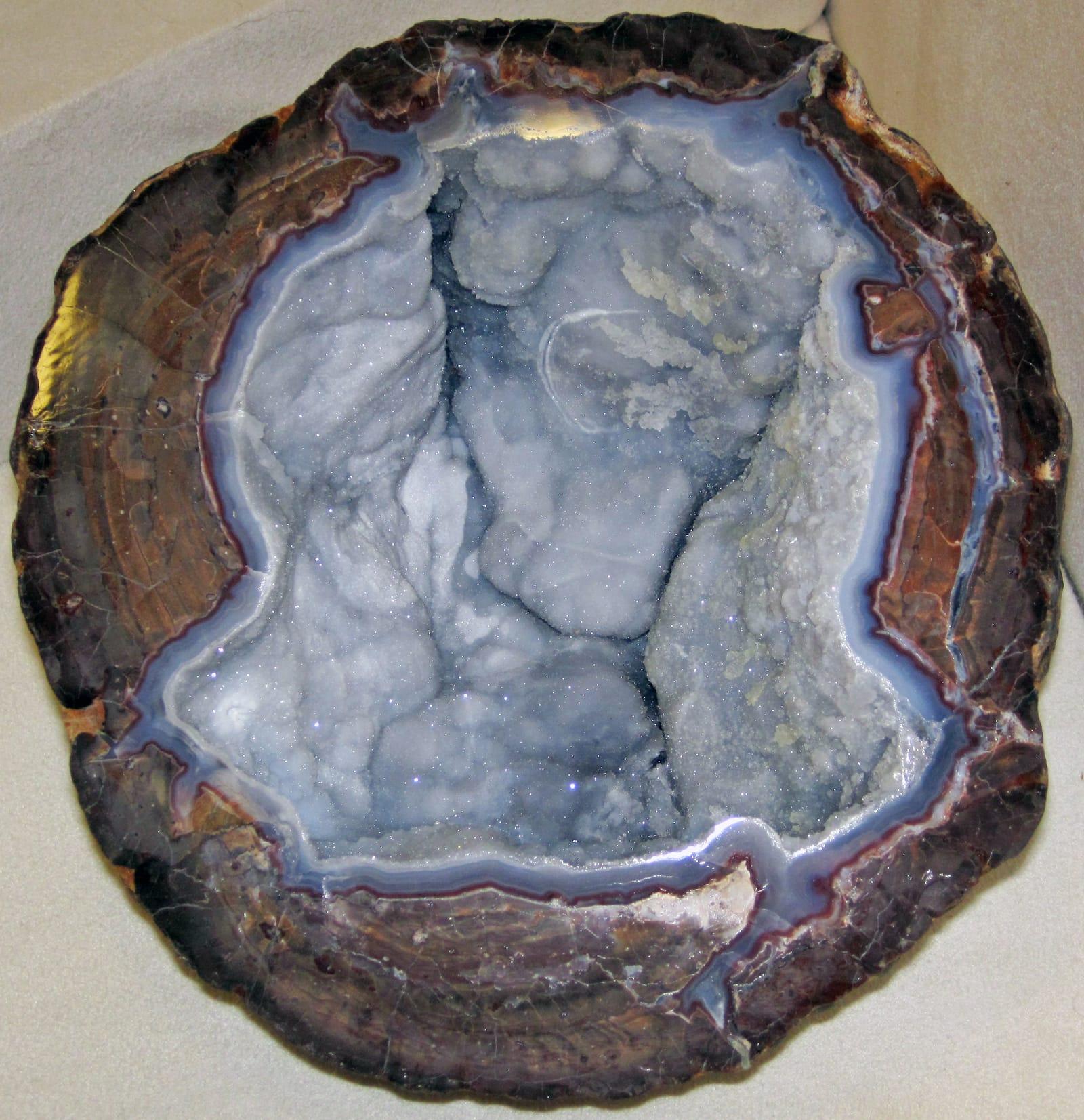
The Dugway Geode Beds are one of Utah's clearest geology-to-specimen localities: Miocene rhyolite cavities were eroded by Lake Bonneville and redeposited as diggable geodes in lake sediments.
Beryl, Chalcedony, Fluorite, Garnet
 Top pick
Juab County
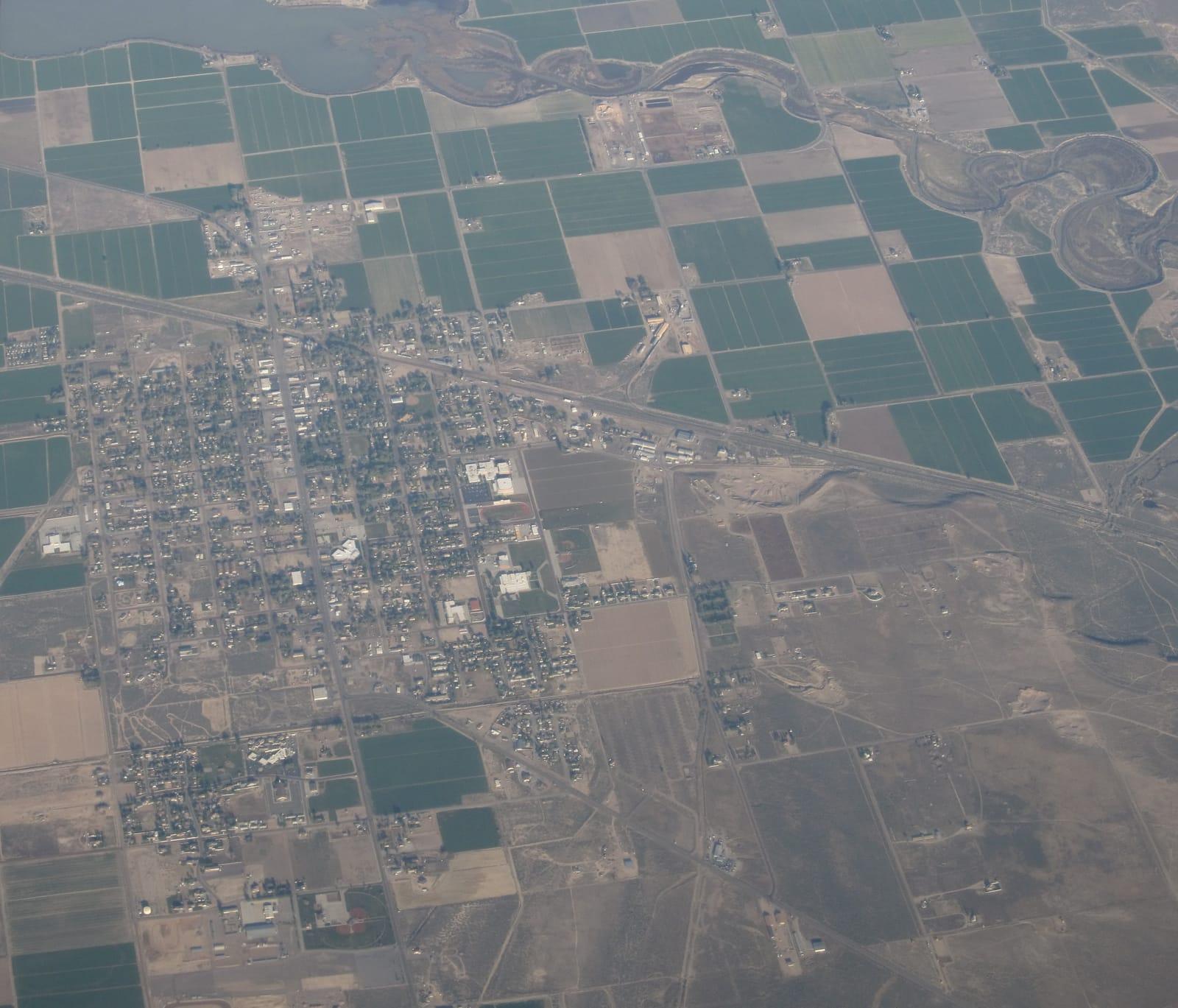
Spor Mountain stands out because its topaz-rhyolite-related deposits made it the world's premier beryllium district and Utah's largest fluorite producer.
Fluorite, Bertrandite, Carnotite, Chalcedony
 Top pick
Juab County
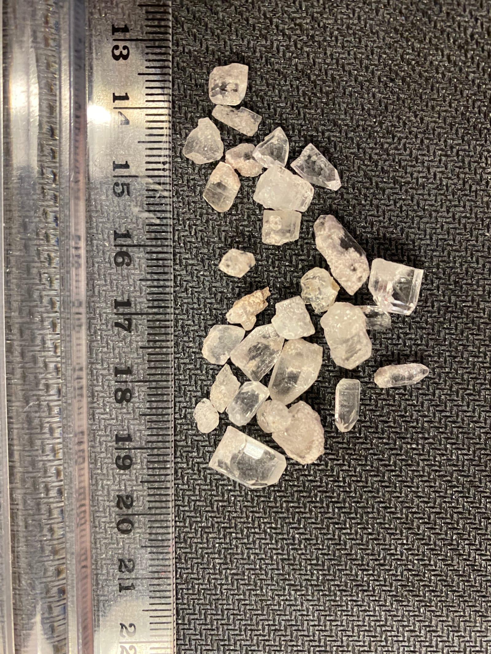
Topaz Mountain is Utah's defining gem locality, where amber topaz crystals formed in cavities of the Topaz Mountain Rhyolite and commonly bleach colorless in sunlight.
Beryl, Calcite, Bixbyite, Carnelian
 Top pick
Millard County
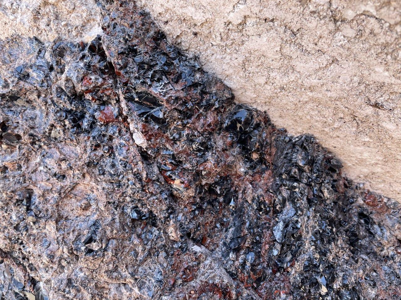
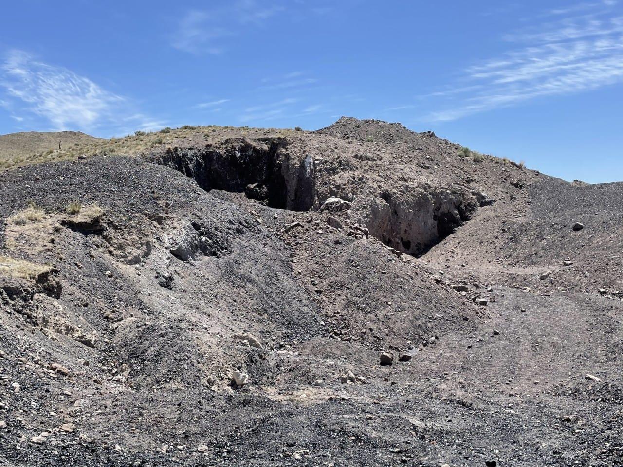
Black Rock is Utah's standout obsidian stop, with black, reddish-brown, and snowflake obsidian weathering from young rhyolitic volcanic rocks in the Black Rock Desert.
Snowflake Obsidian
 Top pick
Piute County
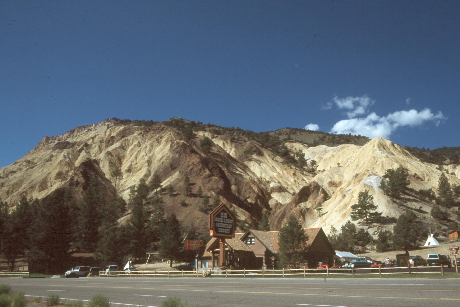
Marysvale earns a top spot for small but well-formed crystals in rhyolite cavities, especially bixbyite, amethyst, and reported rutile or pseudobrookite.
Cinnabar, Alunite, Albite, Biotite
 Top pick
Tooele County
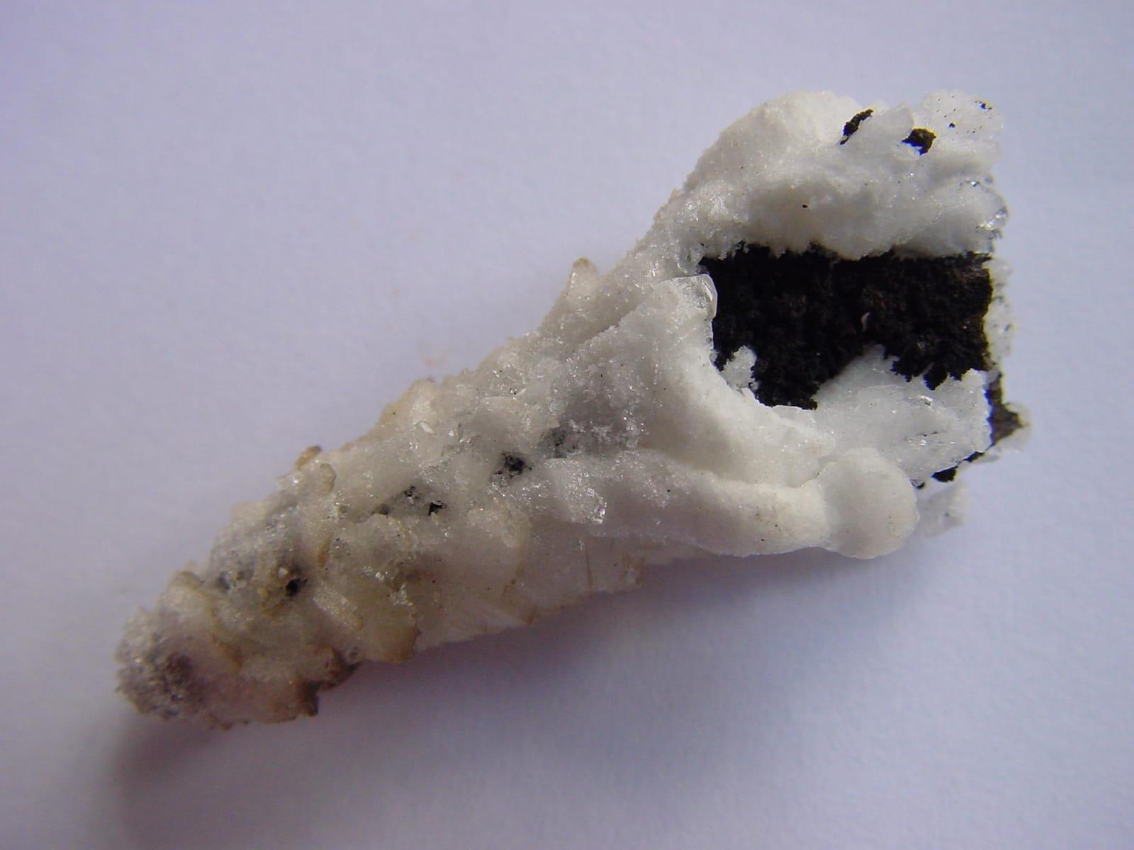
Gold Hill is one of Utah's most mineralogically varied old districts, with arsenic, gold, copper, lead, silver, tungsten, and zinc production tied to skarn, vein, and replacement deposits.
Azurite, Cerussite, Chalcopyrite, Chlorite
 Top pick
Tooele County
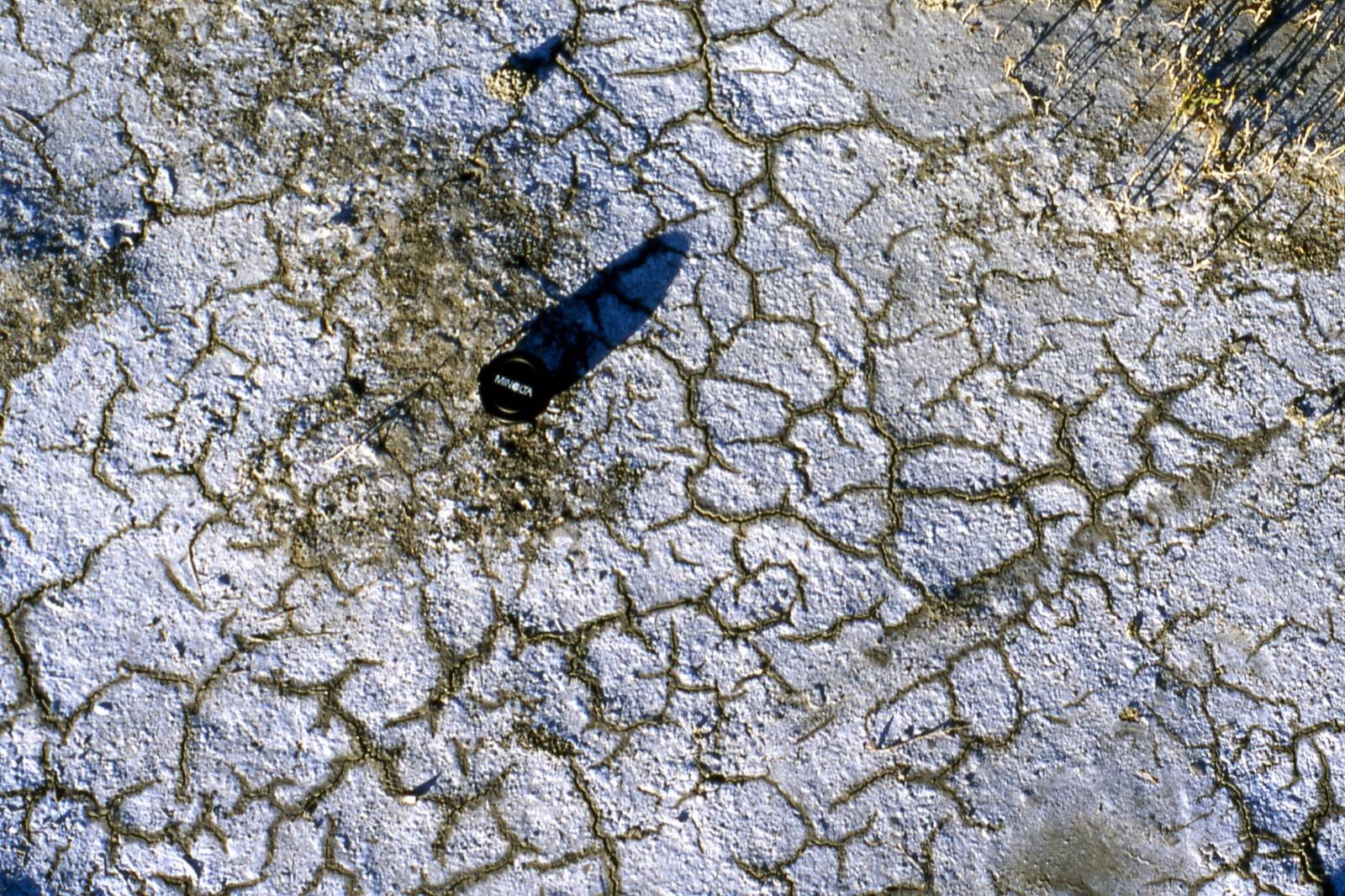
The Tooele side of Great Salt Lake offers an unusual sediment specimen rather than a hard-rock target: oolitic sand made of calcium-carbonate coats around tiny nuclei in shallow, wave-agitated brine.
Aragonite, Bloedite, Gypsum, Halite
 Top pick
Wayne County
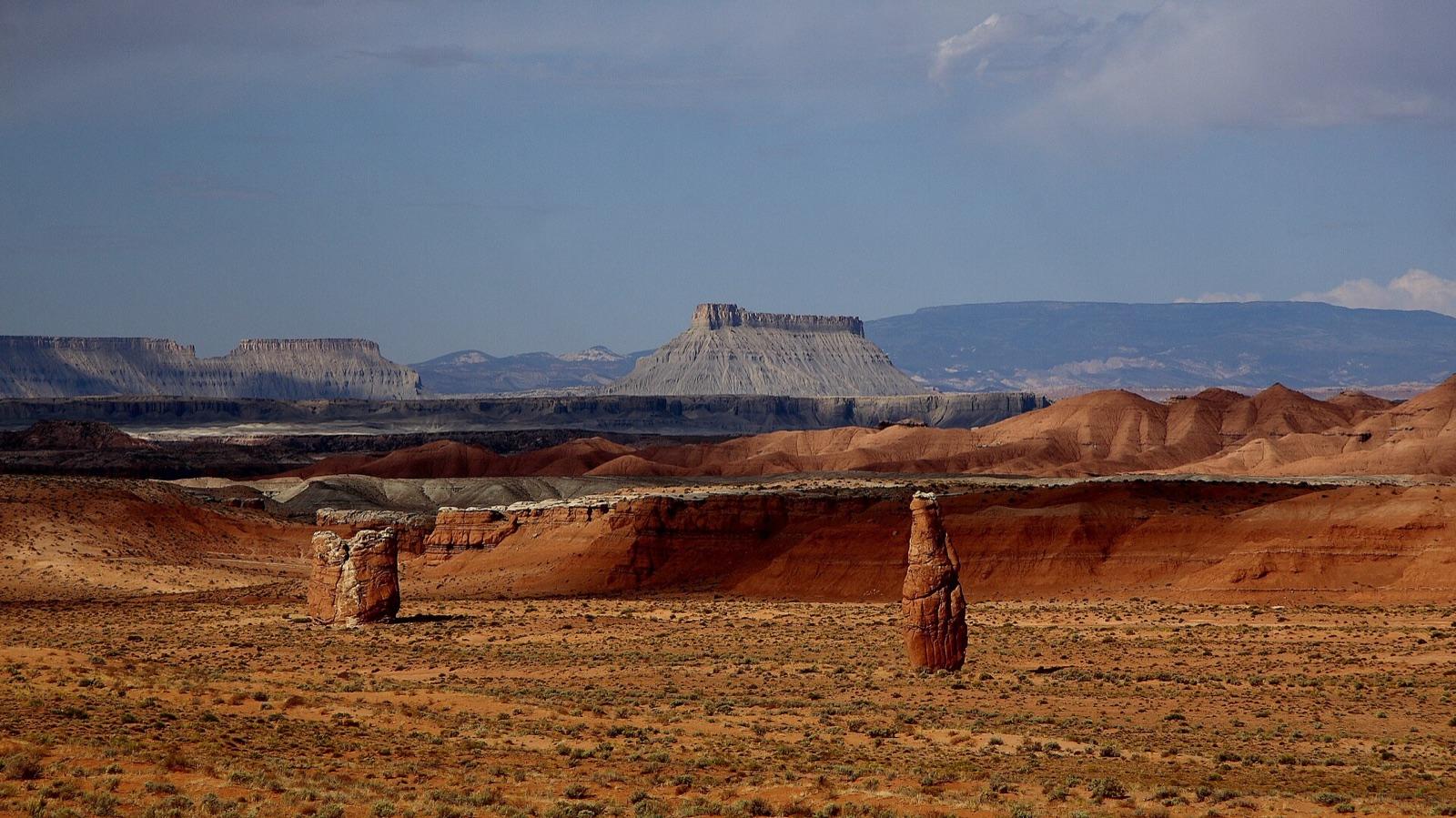
The Hanksville and Caineville stretch of Wayne County is a strong public-land agate and petrified-wood area because weathering has released chalcedony, chert, jasper, and silicified wood from Mesozoic sedimentary rocks.
Agate, Jasper, Petrified Wood
3 places in Utah where you pay to dig and keep what you find. Prices and seasons change, so check with the operator before you drive out.
11 clubs in Utah. Clubs run field trips, shows and workshops, and many trips go to private claims you can't reach alone.
Open the RockHoundR app to see Utah on a real map with public land overlays, weather, geology, and your saved finds.

