Rockhounding in Vermont

Updated August 2026

30 mapped spots for rock hunting and rock collecting across 11 counties. Vermont rockhounding is gold panning first, on Buffalo Brook at Camp Plymouth State Park, the White River, the Mad River, and the Little River, then the garnet, kyanite, and staurolite of the Gassetts and Ludlow schists, the pyrite and chalcopyrite of the old Orange County copper belt, and the calcite, quartz, and feldspar of the marble and granite country.

Where is the best rockhounding in Vermont?

The best rockhounding in Vermont is at Bennington in Bennington County (blue quartz, garnet), Little River in Lamoille County (gold), and White River in Orange County (gold). In total, 30 mapped collecting spots across 11 counties produce gold, calcite, and pyrite, each listed below with its land access.

Open the full map

Every rockhounding spot in Vermont

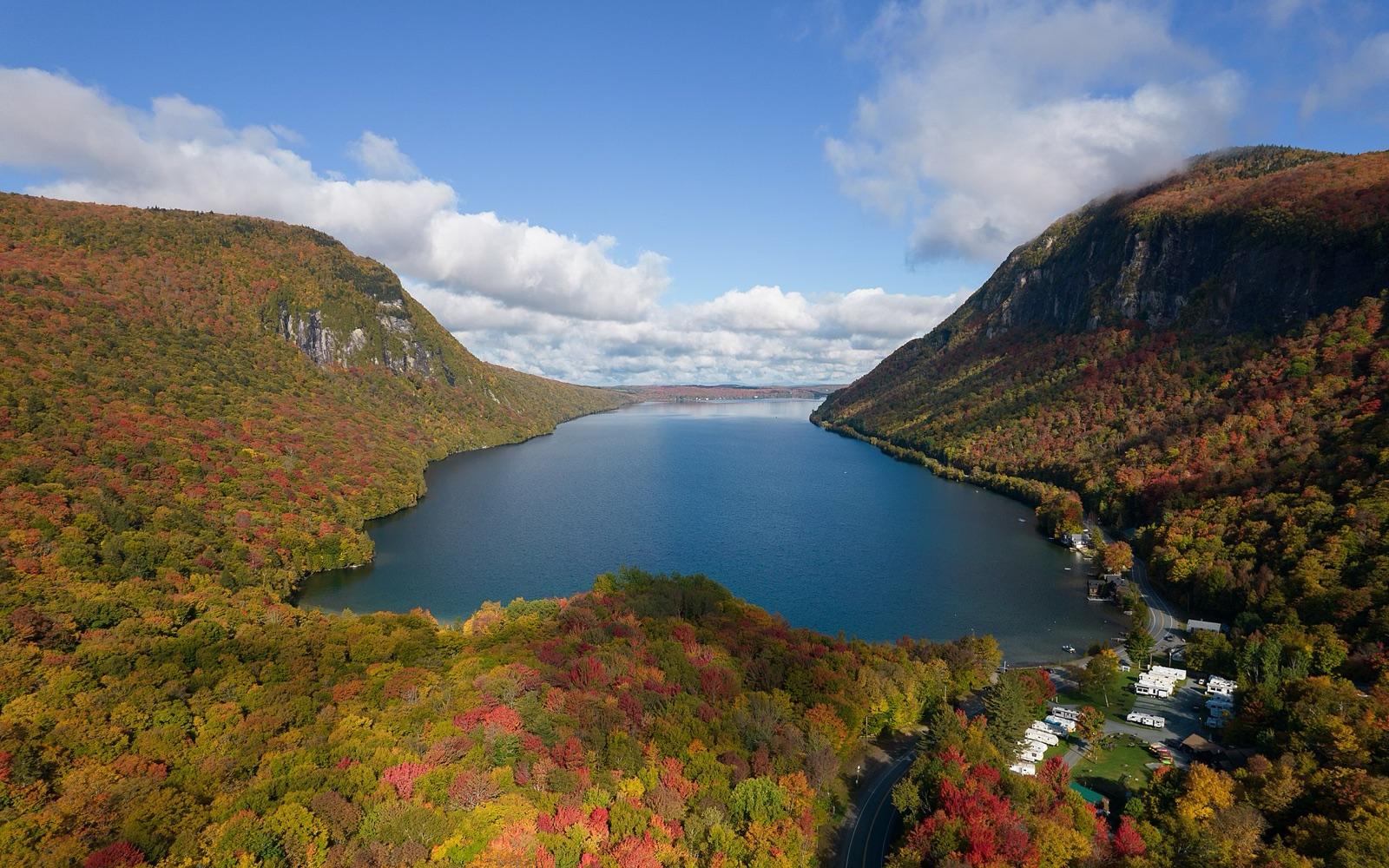
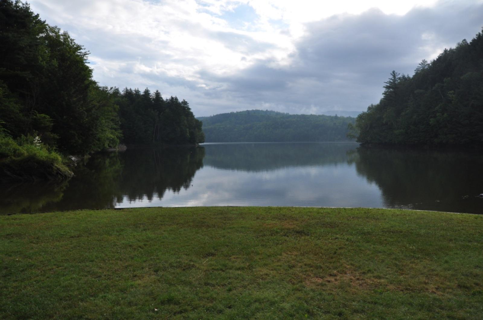
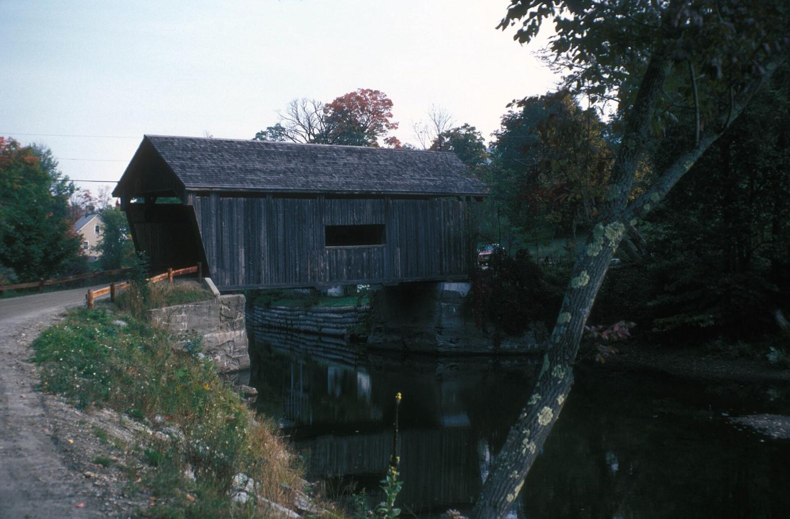
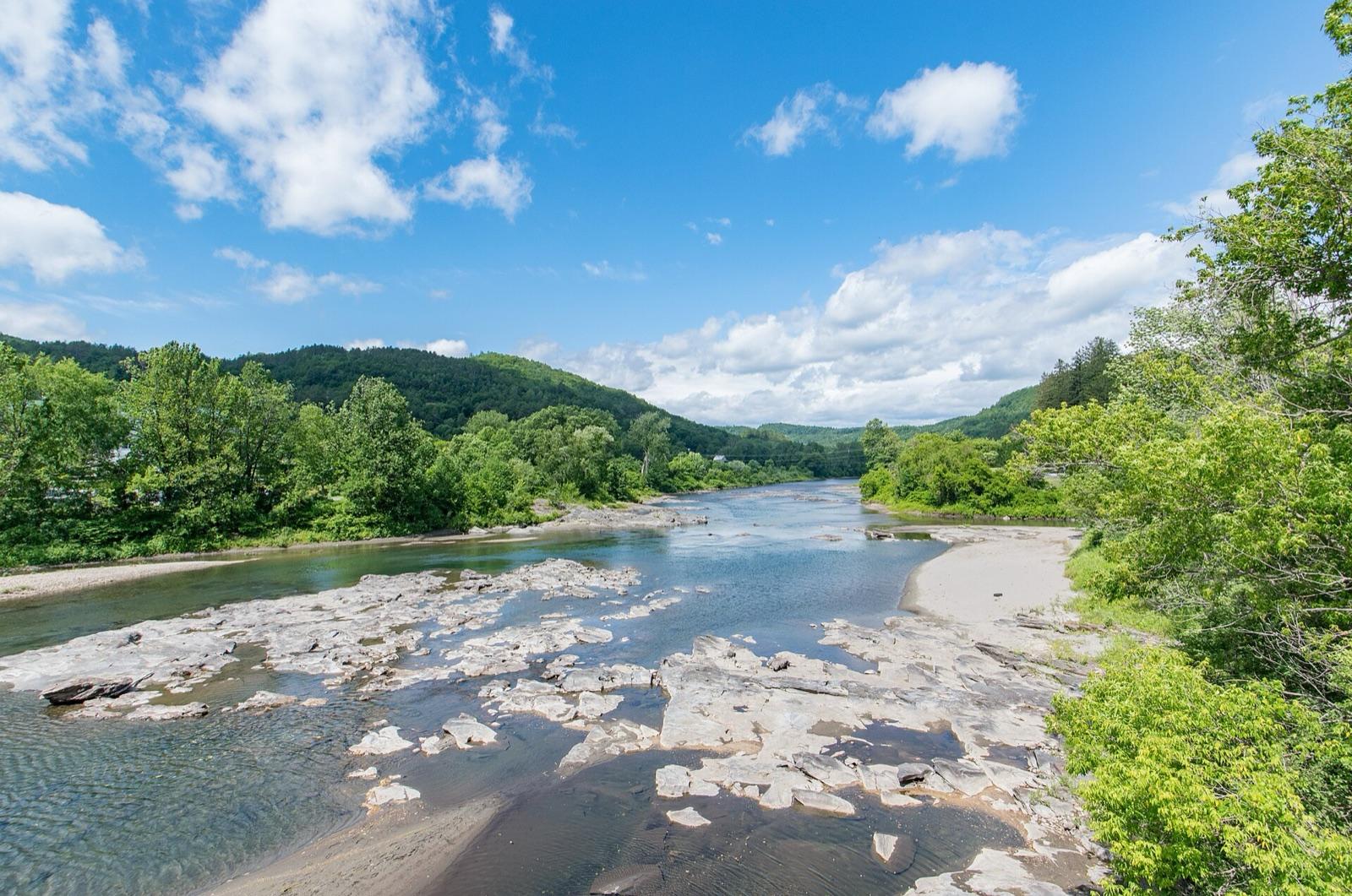
Vermont rockhounding photos

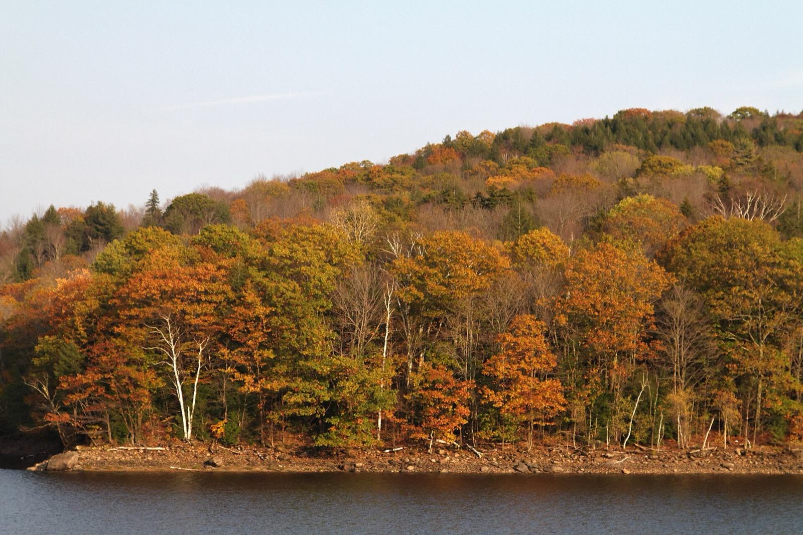
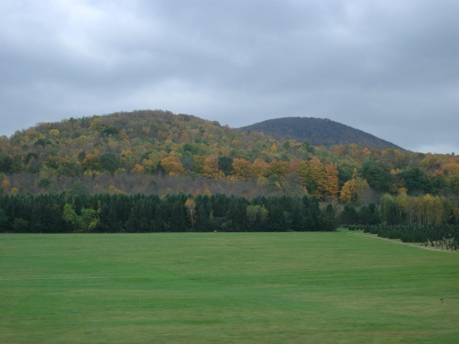
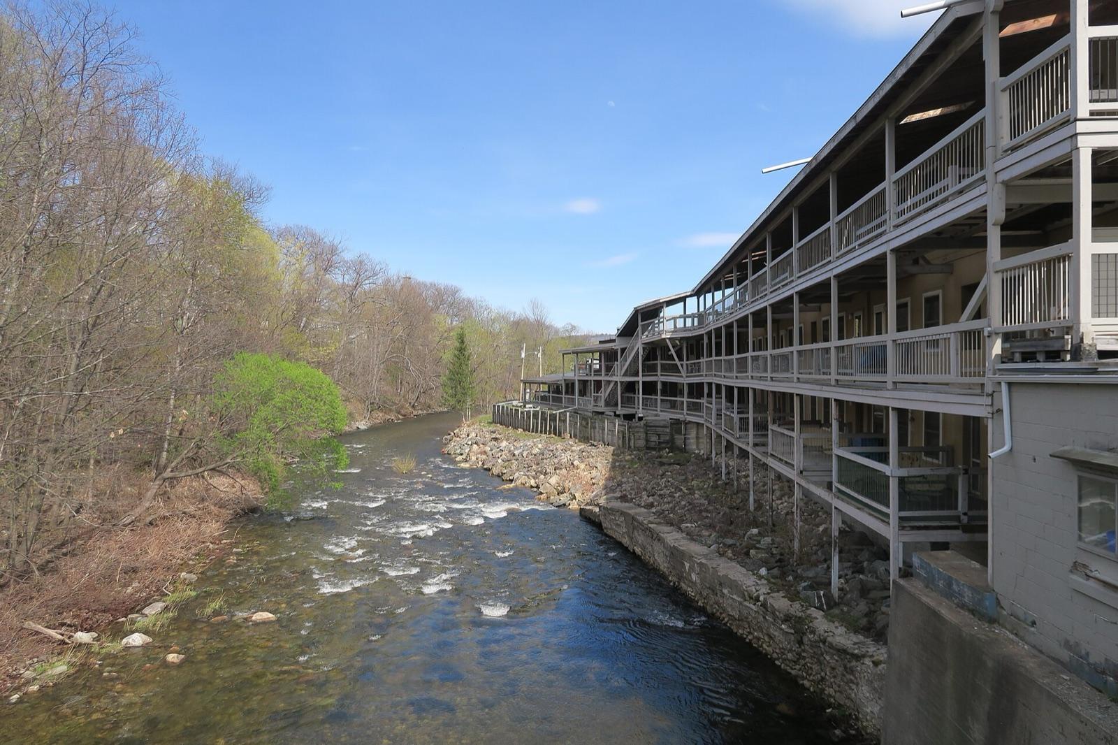
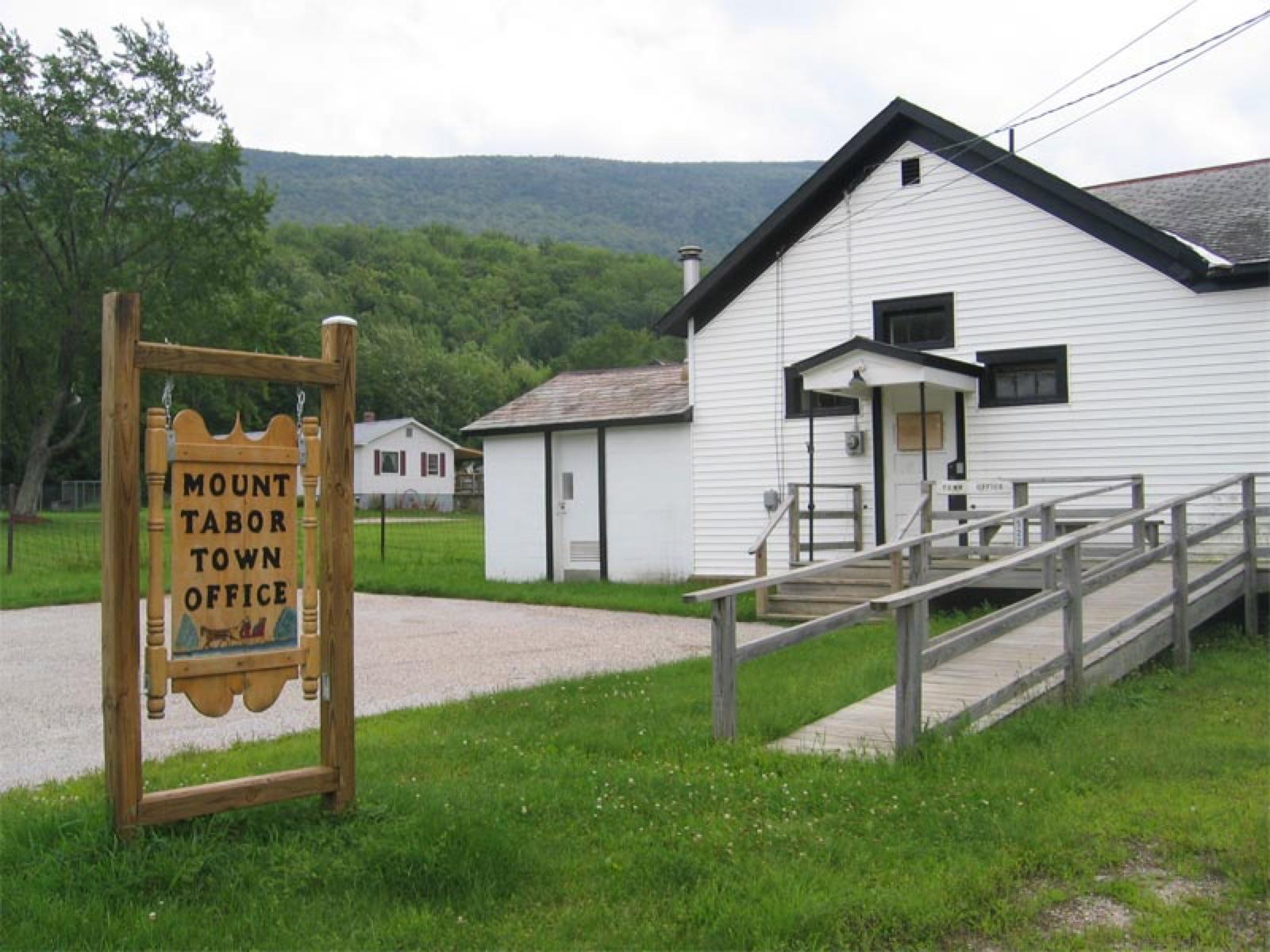
Representative spot and material photos from locations in this state, shown where verified public image records are available.

5 photos

Top minerals found in Vermont

Counts reflect how many spots in this list mention each mineral.

Notable areas: Buffalo Brook gold, Gassetts garnet and kyanite, Ludlow talc-belt minerals, Proctor marble calcite, and White River placer gold are the Vermont targets collectors travel for.

Geology behind Vermont rockhounding

Vermont is the Green Mountain anticlinorium, a belt of Precambrian and early Paleozoic metamorphic rock flanked by marble and slate belts. The schists and phyllites east of the Green Mountains carry the Gassetts schist's garnet, kyanite, and staurolite around Chester and Ludlow, and the Orange County copper belt's Elizabeth and Ely mines at Strafford and Vershire left pyrite, chalcopyrite, and pyrrhotite on now-remediated ground. Quartz veins in the same rocks shed gold into the streams, which is why Buffalo Brook at Plymouth, the White River, the Mad River, and the Little River pan color. The talc and serpentine belt from Ludlow north to Eden Mills produced the state mineral, talc, and the grossular garnet that is the state gem at Belvidere Mountain. Western Vermont's Ordovician marble around Proctor and Rutland and the Chazy reef limestone of Isle La Motte in Grand Isle County carry calcite and fossils, and the Barre and Bethel granites supply quartz and feldspar. Lake Willoughby and the Northeast Kingdom are granite and hornfels.

Best regions to focus your search

Gold streams (Windsor, Orange, Washington, Lamoille)

Buffalo Brook at Camp Plymouth State Park, where the park allows recreational panning, plus the White River, Mad River, and Little River on public frontage and Green Mountain National Forest stretches.

Gassetts and Ludlow schist (Windsor)

Garnet, kyanite, and staurolite in road cuts and creek gravel around Gassetts, Chester, and Ludlow. Rights-of-way are tolerated with care; farms need permission.

Copper belt (Orange)

Pyrite, chalcopyrite, and pyrrhotite around Strafford and Vershire on remediated mine ground, largely closed; the surrounding schist and the White River gravels are the practical alternative.

Marble, granite, and the Northeast Kingdom (Rutland, Grand Isle, Orleans, Bennington)

Calcite and marble around Proctor on quarry days, Chazy fossils on Isle La Motte where the preserves are view-only, quartz and feldspar around Lake Willoughby and Bennington.

Best season

June through October. Spring runoff is too high to pan; late summer low water is best for gold. Road cuts and dumps are best in spring after snowmelt and in October after leaf-off. Snow closes most sites from November to May.

What to bring

A gold pan, small shovel, snuffer bottle, and knee boots; a rock hammer, chisels, safety glasses, gloves, and a hand lens for the schist; layers and bug protection for the Green Mountains.

Local collecting history

Vermont's gold rush centered on Plymouth in the 1850s, and the Elizabeth Mine at Strafford produced copper from 1809 to 1958 before becoming a Superfund cleanup. Talc became the state mineral and grossular garnet the state gem in 1991, with marble, granite, and slate sharing the title of state rock.

Rockhounding near major Vermont cities

Day-trip range. Each section lists the closest mapped rockhounding spots within about 150 miles of the city. Most are inside a 2 to 3 hour drive.

Rockhounding near Burlington

See all →

6 closest spots to Burlington, VT.

  • Niquette BayChittenden County · Agate, Chert8 mi10 min drive
  • Lamoille RiverChittenden County · Dolomite, Chalcopyrite9 mi11 min drive
  • Port KentEssex County · Labradorite10 mi12 min drive
  • Buttermilk FallsEssex County · Serpentine11 mi14 min drive
  • Grand IsleGrand Isle County · Quartz, Calcite11 mi14 min drive
  • KeesevilleClinton County · Labradorite15 mi18 min drive

Neighboring states with rockhounding

Geology rarely respects state borders. These states share mapped rockhounding country with Vermont, useful when Vermont is the start, not the whole trip. Each card links to the closest county across the line.

Rockhounding by county in Vermont

County pages are linked once we have at least 3 mapped spots for a focused guide with coordinates, mineral notes, and nearby spots.

Top picks in Vermont

10 best spots

Hand-picked standouts from the Vermont list, chosen for unusual mineralogy, documented public access, or both. Each card links to coordinates, access notes, and what to look for.

Rock and mineral clubs in Vermont

2 clubs in Vermont. Clubs run field trips, shows and workshops, and many trips go to private claims you can't reach alone.

Full club directory →

Vermont rockhounding FAQ

Is rockhounding legal in Vermont?+
Yes, on Green Mountain National Forest land for hand collecting and pan gold panning, at Camp Plymouth State Park for panning, on club field trips to quarries, and on private land with permission. Vermont State Parks otherwise prohibit collecting.
Where can I pan for gold in Vermont?+
Buffalo Brook in Camp Plymouth State Park, which allows recreational panning under park rules, and the White River, Mad River, Little River, and other Green Mountain streams on public frontage. Late summer low water is best. Pans and hand tools only.
Where do you find garnet in Vermont?+
The Gassetts schist around Gassetts, Chester, and Ludlow in Windsor County, in road cuts and creek gravel, with kyanite and staurolite in the same rock. Grossular garnet, the state gem, comes from Belvidere Mountain at Eden Mills, an asbestos mine site that is closed.
Can I collect at the Elizabeth Mine?+
No. The Elizabeth Mine at Strafford and the Ely Mine at Vershire were remediated as Superfund sites and are closed. Pyrite and chalcopyrite still show in the surrounding schist and the White River gravels on public frontage.
What rocks and minerals can you find in Vermont?+
Vermont spots in this list most often produce gold, pyrite, quartz, garnet, chalcopyrite, calcite, pyrrhotite, and feldspar, plus kyanite, staurolite, talc, and marble.
Where can I go rock hunting in Vermont?+
Rock hunting, rock collecting and rockhounding are the same hobby under different names. 30 spots are mapped in Vermont, 28 of them with public access. Lamoille County, Windsor County, and Franklin County have the most.
Is there gem mining or pay-to-dig in Vermont?+
No fee digs or pay-to-dig gem mines are mapped in Vermont yet. 28 of the 30 spots here have public access, so you can collect without paying a dig fee.
Where can I dig for crystals in Vermont?+
7 mapped spots in Vermont report quartz, amethyst, or smoky quartz, mostly in Grand Isle County, Windsor County, and Bennington County. Each one is in the list on this page with its land access.
Can you find geodes in Vermont?+
None of the 30 mapped spots in Vermont report geodes. The nearest states with mapped geode spots are New York (1), New Jersey (1), and Pennsylvania (4).
Where can I go fossil hunting in Vermont?+
1 mapped spot in Vermont reports fossils, mostly in Grand Isle County. On federal land you may keep common shells, corals and plant fossils. Bones and teeth of animals with a backbone are protected.

Map every Vermont spot in the app

Open the RockHoundR app to see Vermont on a real map with public land overlays, weather, geology, and your saved finds.

Download on the App StoreGet it on Google Play