Rockhounding in South Dakota

Updated October 2026

47 mapped spots for rock hunting and rock collecting across 16 counties. South Dakota is Fairburn agate country. The state gemstone weathers out of the White River beds on the Buffalo Gap National Grassland southeast of Fairburn and toward Oelrichs and Ardmore, and its source rock crops out at Tepee Canyon in the Black Hills. Around it the Black Hills add rose quartz, pegmatite minerals, and placer gold in Spearfish Canyon and Whitewood Creek, and the Missouri River bars at Mobridge and Mound City carry agate and petrified wood.

Where is the best rockhounding in South Dakota?

The best rockhounding in South Dakota is at Mound City in Campbell County (petrified wood, opal), Tepee Canyon in Custer County (agate, beryl), and Fairburn in Custer County (fairburn agate, agatized wood). In total, 47 mapped collecting spots across 16 counties produce agate, chalcedony, and jasper, each listed below with its land access.

Open the full map

Every rockhounding spot in South Dakota

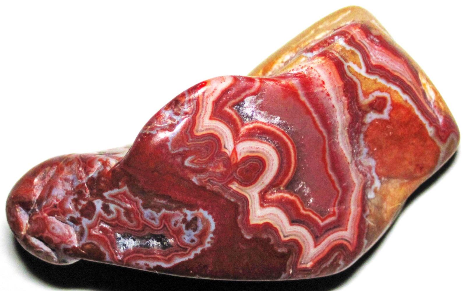
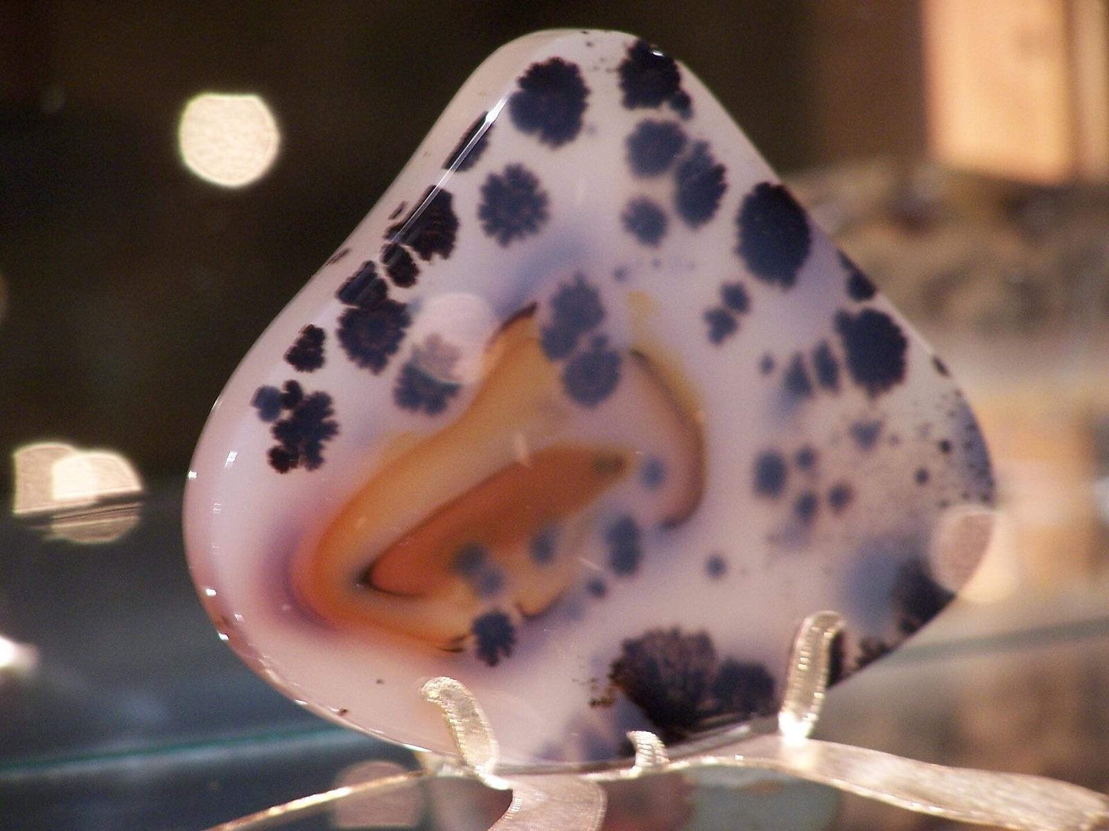
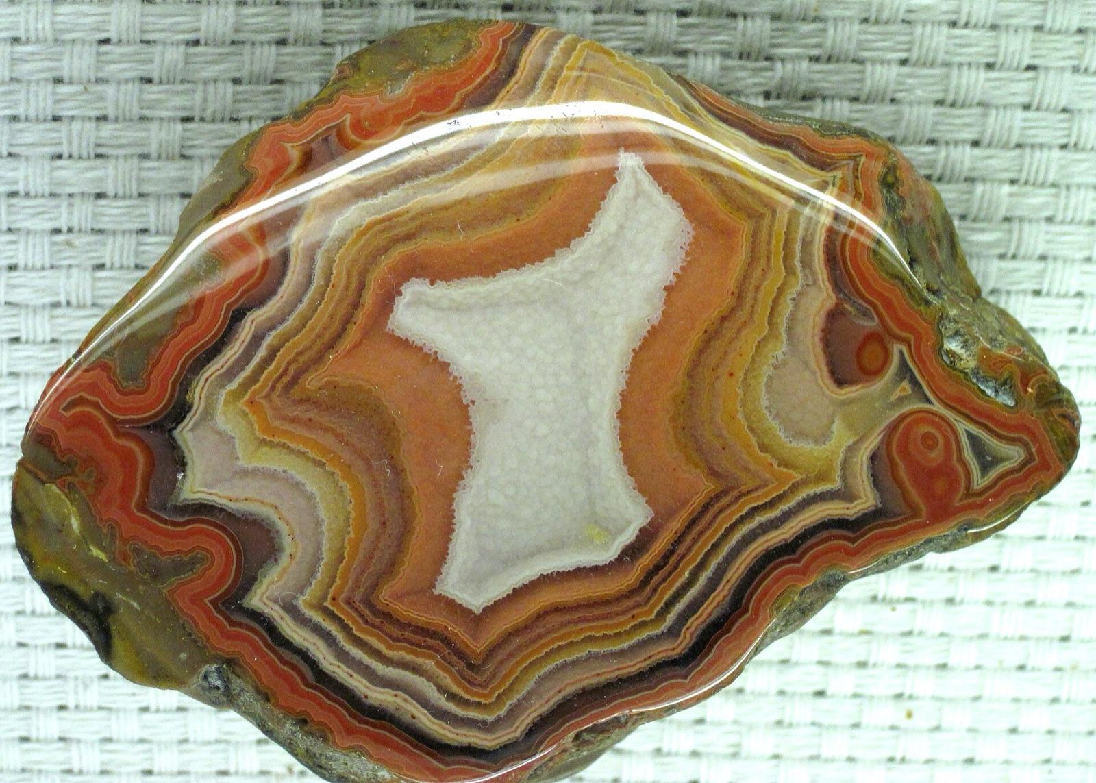
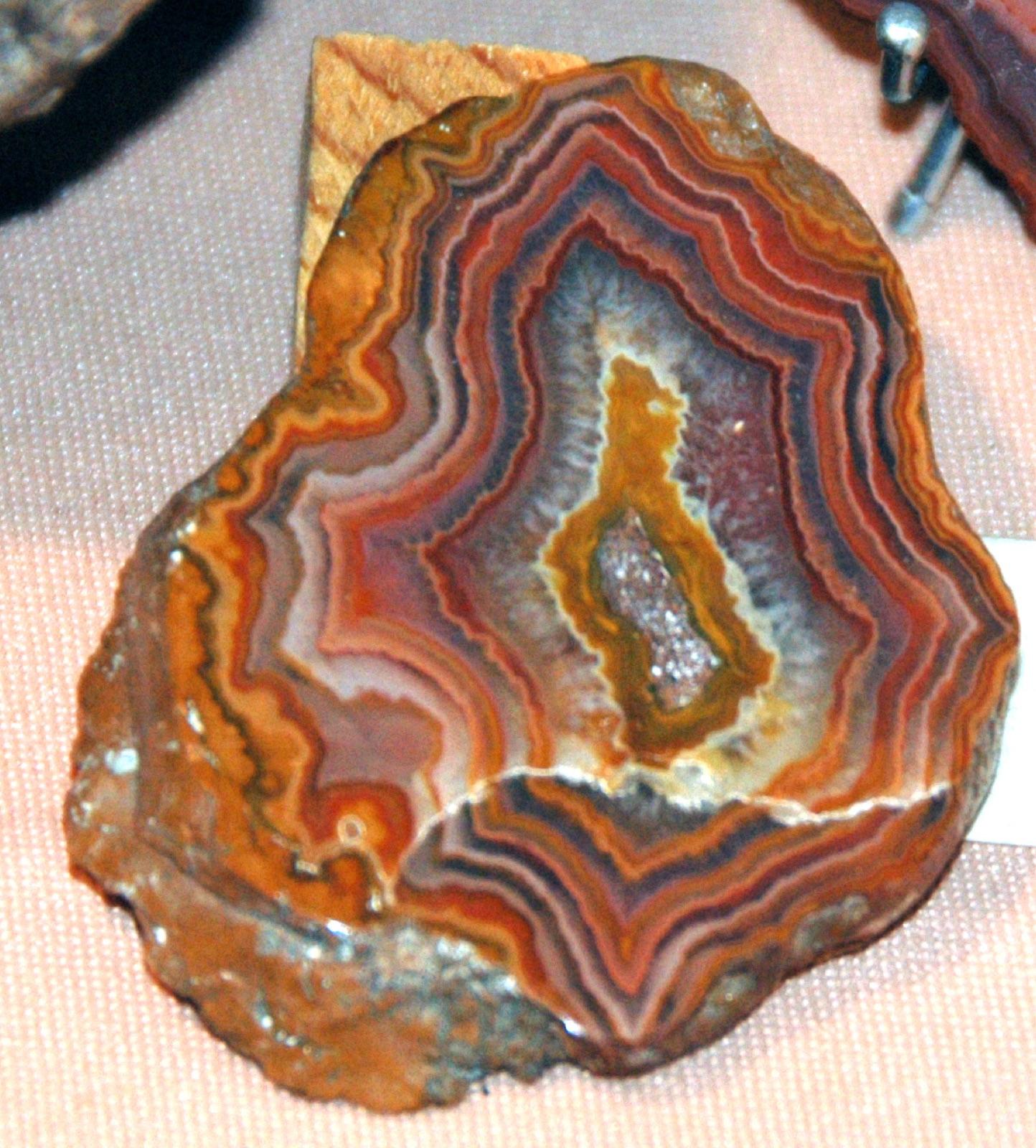
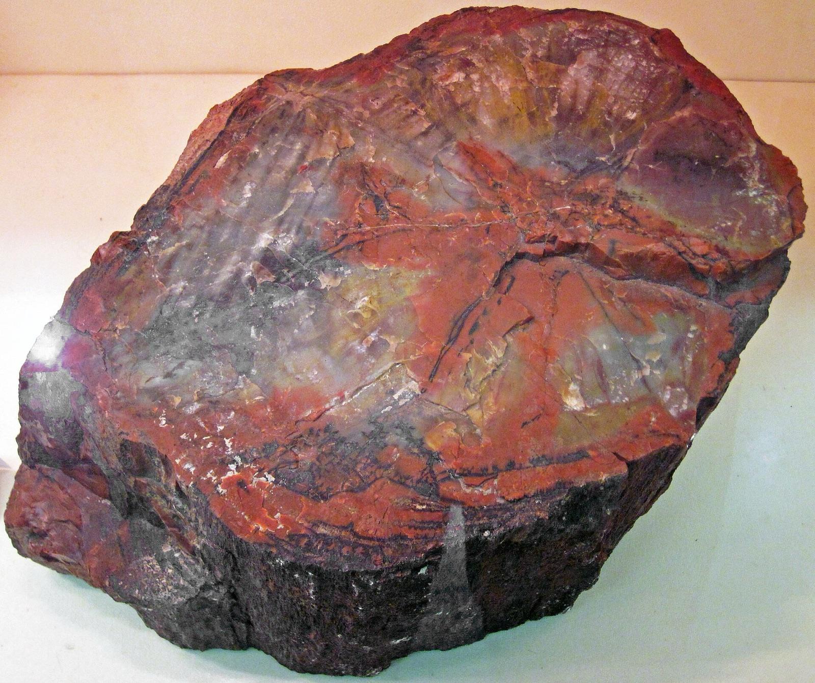
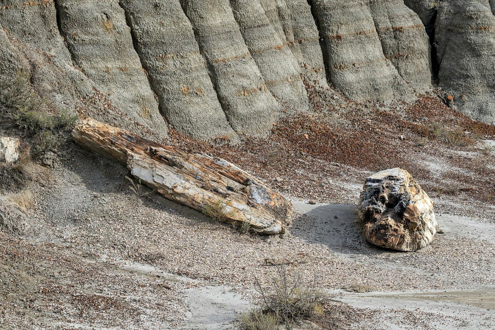
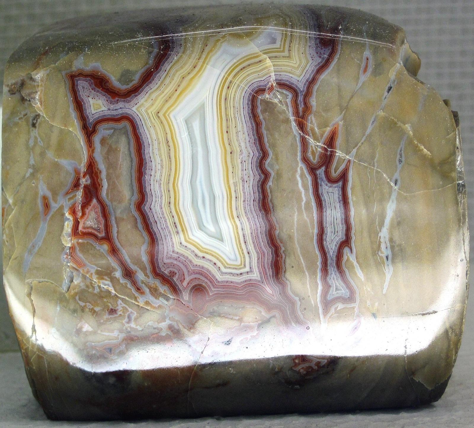
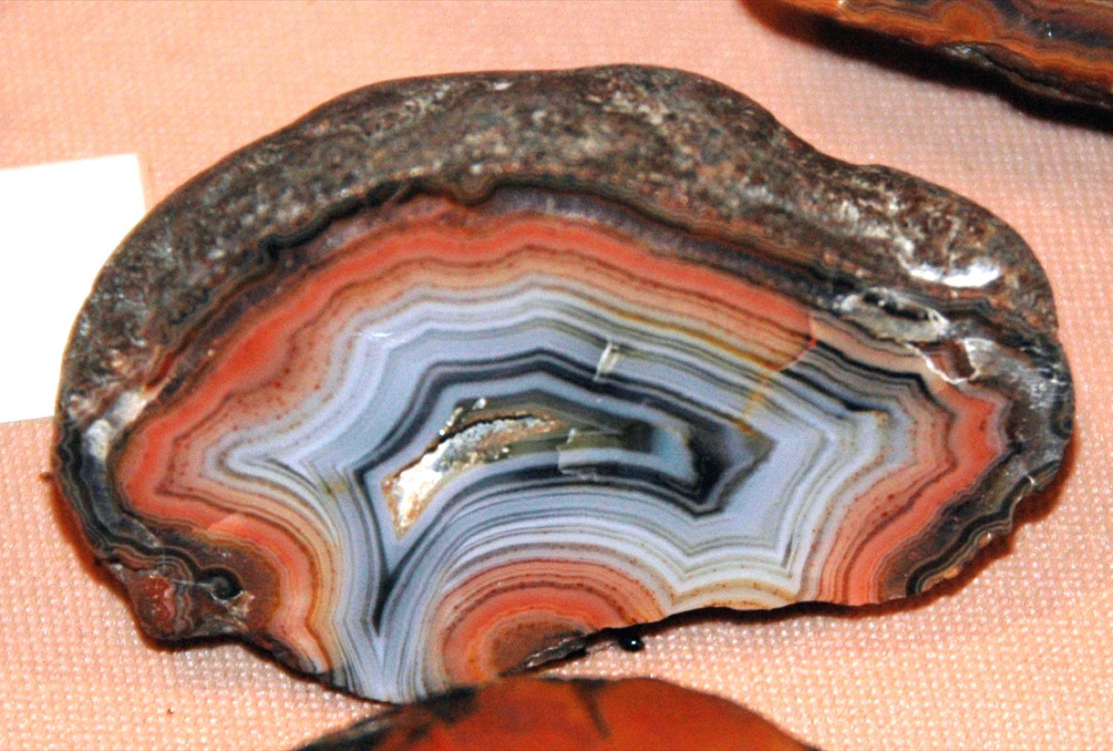
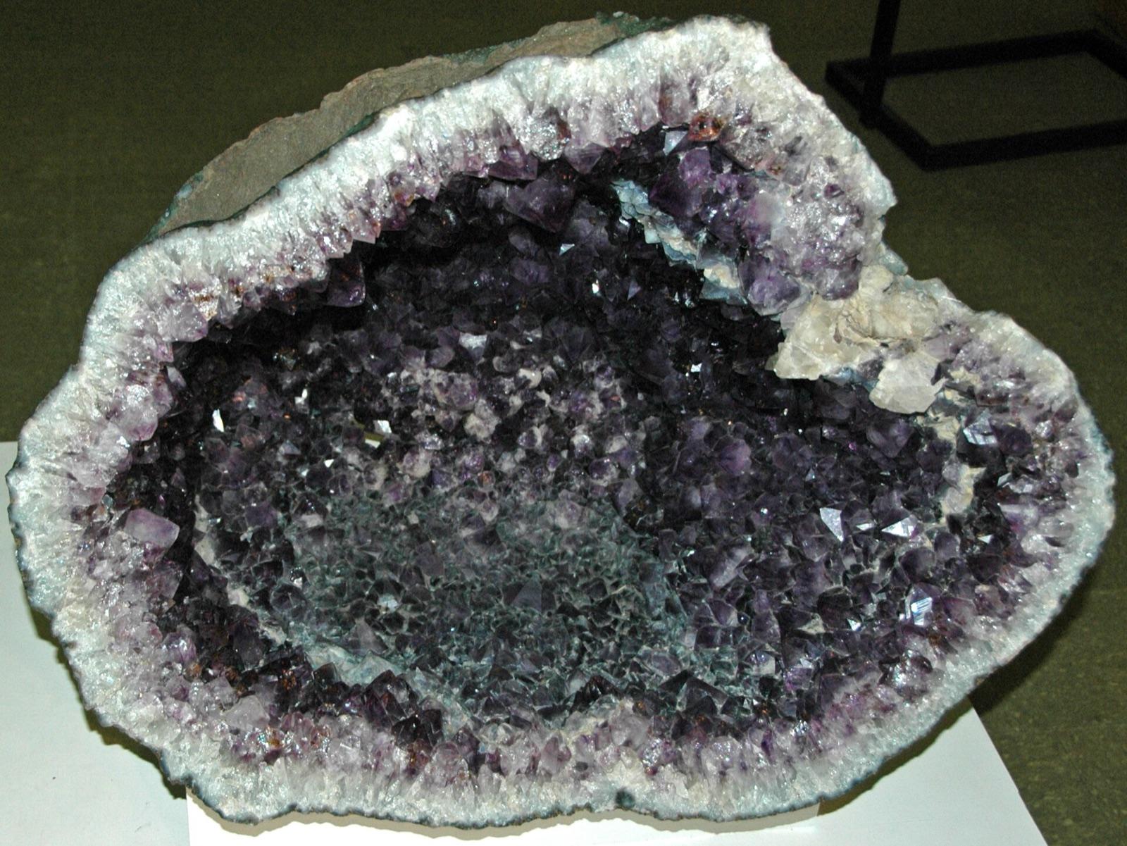
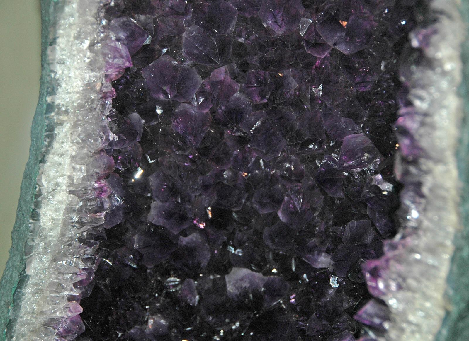
South Dakota rockhounding photos

Representative spot and material photos from locations in this state, shown where verified public image records are available.

5 photos

Top minerals found in South Dakota

Counts reflect how many spots in this list mention each mineral.

Notable areas: Fairburn agate, Tepee Canyon agate, Custer rose quartz, Black Hills placer gold, and Missouri River petrified wood are the South Dakota targets collectors travel for.

Geology behind South Dakota rockhounding

The Black Hills are a Laramide dome with a Precambrian core of schist and the Harney Peak granite, whose pegmatites around Custer and Keystone carry rose quartz, beryl, spodumene, lepidolite, tourmaline, and mica. Gold veins in the Lead district were mined at Homestake for 125 years, and placer gold still moves in Whitewood, Spearfish, French, and Rapid creeks. The Paleozoic rim around the core includes the Minnelusa Formation, which holds the Tepee Canyon agate beds west of Custer; erosion of that rock fed the Oligocene White River Group on the plains to the east, where the Chadron Formation gravels concentrate Fairburn agate, prairie agate, bubblegum agate, and petrified wood on the Buffalo Gap National Grassland. The Badlands to the east are the same White River beds carved into cliffs, protected inside Badlands National Park. Missouri River gravels from Mobridge to Pierre carry agate, jasper, and petrified wood, and the Slim Buttes country around Camp Crook in the northwest produces petrified wood and agate on Custer Gallatin National Forest ground.

Best regions to focus your search

Fairburn agate beds (Custer, Fall River, Oglala Lakota)

The classic beds southeast of Fairburn on the Buffalo Gap National Grassland, and more toward Oelrichs and Ardmore along the Cheyenne River. Grassland ground is open to hand collecting; Pine Ridge Reservation land needs tribal permission.

Black Hills (Custer, Pennington, Lawrence)

Tepee Canyon agate on Black Hills National Forest ground west of Custer, rose quartz and pegmatite minerals around Custer and Keystone (mostly on claims and private dumps), and gold panning in Spearfish Canyon and Whitewood Creek.

Missouri River (Walworth, Campbell, Hughes)

Agate, jasper, petrified wood, and Knife River flint on the bars and shorelines around Mobridge, Mound City, and Pierre. Corps and state boat ramps are the access; lake drawdowns expose the most gravel.

Northwest buttes (Harding, Perkins)

Petrified wood and agate around Camp Crook and the Slim Buttes on Custer Gallatin National Forest land and private ranches.

Best season

May through October. Spring rains wash the agate beds and expose fresh stones, and fall is cool and dry. Summer afternoons on the grassland are hot with little shade; start at dawn. Black Hills creeks run high with snowmelt in May and June and are easiest to pan in late summer. Winter closes the Hills.

What to bring

A spray bottle and a hand lens for reading agate in dry gravel, a small rake, a gold pan and shovel for the creeks, a rock hammer and safety glasses for Tepee Canyon, sturdy boots, sun protection, and several gallons of water on the grassland. High-clearance helps on grassland two-tracks after rain.

Local collecting history

The Custer expedition found gold on French Creek in 1874, setting off the Black Hills gold rush that built Deadwood and Lead; Homestake ran from 1876 to 2001 as the largest gold mine in the United States. Fairburn agate became the state gemstone and rose quartz the state mineral in 1966.

Rockhounding near major South Dakota cities

Day-trip range. Each section lists the closest mapped rockhounding spots within about 150 miles of the city. Most are inside a 2 to 3 hour drive.

Rockhounding near Sioux Falls

See all →

6 closest spots to Sioux Falls, SD.

  • Sioux FallsMinnehaha County · Agate, Catlinite4 mi5 min drive
  • WagnerBon Homme County · Selenite Rose75 mi1 hr 34 min drive
  • GraettingerPalo Alto County · Agate, Jasper102 mi2 hr 8 min drive
  • EmmetsburgPalo Alto County · Agate, Jasper106 mi2 hr 12 min drive
  • MontevideoChippewa County · Lake Superior Agate108 mi2 hr 15 min drive
  • AppletonSwift County · Lake Superior Agate121 mi2 hr 31 min drive

Rockhounding near Pierre

See all →

6 closest spots to Pierre, SD.

  • Elm CreekBrule County · Gray Barite76 mi1 hr 35 min drive
  • MissionTodd County · Opalized Wood, Agatized Wood78 mi1 hr 37 min drive
  • MobridgeWalworth County · Opalized Wood, Agatized Wood80 mi1 hr 40 min drive
  • Rattlesnake ButteZiebach County · Calcite84 mi1 hr 45 min drive
  • InteriorJackson County · Jasper, Chalcedony91 mi1 hr 53 min drive
  • Little EagleCorson County · Petrified Wood, Opal93 mi1 hr 56 min drive

Neighboring states with rockhounding

Geology rarely respects state borders. These states share mapped rockhounding country with South Dakota, useful when South Dakota is the start, not the whole trip. Each card links to the closest county across the line.

Rockhounding by county in South Dakota

County pages are linked once we have at least 3 mapped spots for a focused guide with coordinates, mineral notes, and nearby spots.

Top picks in South Dakota

10 best spots

Hand-picked standouts from the South Dakota list, chosen for unusual mineralogy, documented public access, or both. Each card links to coordinates, access notes, and what to look for.

Rock and mineral clubs in South Dakota

2 clubs in South Dakota. Clubs run field trips, shows and workshops, and many trips go to private claims you can't reach alone.

Full club directory →

South Dakota rockhounding FAQ

Is rockhounding legal in South Dakota?+
Yes. Casual hand collecting is allowed on the Buffalo Gap National Grassland, Black Hills National Forest, and BLM land under the recreational limits. Badlands and Wind Cave national parks, Custer State Park, and reservation lands are closed to collecting.
Where can I find Fairburn agates?+
The Fairburn agate beds on the Buffalo Gap National Grassland southeast of Fairburn in Custer County, and similar beds toward Oelrichs and Ardmore in Fall River County. Walk the gravel-capped ridges after rain, wet the stones, and look for the tight fortification banding. Tepee Canyon west of Custer produces the same agate in its source limestone.
What are the rockhounding limits on public land in South Dakota?+
On BLM land you may collect up to 25 pounds of rock, mineral specimens, or invertebrate fossils per day, plus one piece, with an annual cap of 250 pounds per person. National forest and grassland collecting is small quantities by hand for personal use. Vertebrate fossils are off limits everywhere on federal land.
Can I pan for gold in the Black Hills?+
Yes, with a pan and hand tools on unclaimed national forest streams such as parts of Spearfish Canyon, Whitewood Creek, and French Creek. Much of the good ground carries active claims, so honor markers. Fee panning is available at several Black Hills attractions.
What rocks and minerals can you find in South Dakota?+
South Dakota spots in this list most often produce agate, chalcedony, Fairburn agate, jasper, agatized wood, gold, fossils, and arsenopyrite, plus rose quartz and pegmatite minerals in the Black Hills.
Where can I go rock hunting in South Dakota?+
Rock hunting, rock collecting and rockhounding are the same hobby under different names. 47 spots are mapped in South Dakota, 31 of them with public access. Custer County, Pennington County, and Meade County have the most.
Is there gem mining or pay-to-dig in South Dakota?+
No fee digs or pay-to-dig gem mines are mapped in South Dakota yet. 31 of the 47 spots here have public access, so you can collect without paying a dig fee.
Where can I dig for crystals in South Dakota?+
10 mapped spots in South Dakota report quartz, amethyst, or smoky quartz, mostly in Pennington County, Custer County, and Lawrence County. Each one is in the list on this page with its land access.
Can you find geodes in South Dakota?+
Yes. 4 mapped spots in South Dakota report geodes, mostly in Custer County and Lawrence County.
Where can I go fossil hunting in South Dakota?+
5 mapped spots in South Dakota report fossils, mostly in Custer County, Meade County, and Pennington County. On federal land you may keep common shells, corals and plant fossils. Bones and teeth of animals with a backbone are protected.

Map every South Dakota spot in the app

Open the RockHoundR app to see South Dakota on a real map with public land overlays, weather, geology, and your saved finds.

Download on the App StoreGet it on Google Play