
Rockhounding near Milwaukee, WI
68 mapped rockhounding spots within 150 miles of Milwaukee, most inside a 2 to 3 hour drive, 51 of them on public land. Below: every place to go rock hunting, closest first, with what each one produces and its land access.
Covering parts of Wisconsin, Illinois, Michigan, Indiana, Iowa.
Every rock collecting spot within 150 miles of Milwaukee
 South Shore ParkMilwaukee County, Wisconsin · 3 mi awayCheck locally
 Estabrook ParkMilwaukee County, Wisconsin · 4 mi awayPublic access · Geode, Millerite
- Grant ParkMilwaukee County, Wisconsin · 9 mi awayPublic access · Fossilized Coral, Beach Glass, Sodalite +2
- Doctors ParkMilwaukee County, Wisconsin · 9 mi awayCheck locally
- Grant Park BeachMilwaukee County, Wisconsin · 10 mi awayCheck locally
 Best spotRacineRacine County, Wisconsin · 19 mi awayPublic access · Fossil, Calcite, Marcasite
- Windpoint LighthouseRacine County, Wisconsin · 19 mi awayPublic access · Fossilized Coral, Beach Glass, Sodalite +2
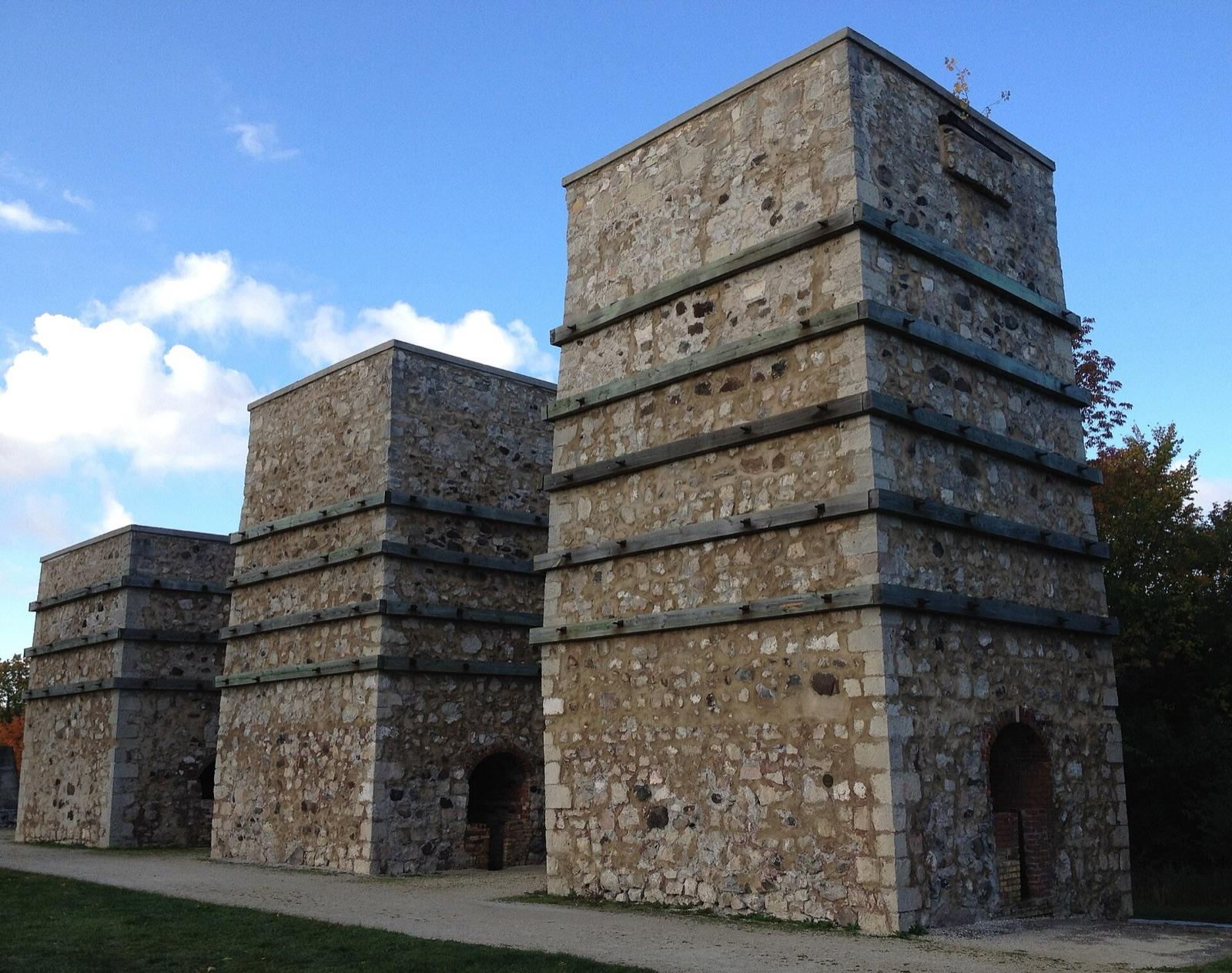 Best spotLime Kiln ParkOzaukee County, Wisconsin · 20 mi awayPublic access · Fossil, Coral, Crinoid +1
- Racine North BeachRacine County, Wisconsin · 22 mi awayCheck locally
- SaukvilleOzaukee County, Wisconsin · 22 mi awayPublic access · Diamond
- Port Washington North Beach ParkOzaukee County, Wisconsin · 25 mi awayCheck locally
- General Area QuarriesRacine County, Wisconsin · 25 mi awayPublic access · Crinoid, Trilobite
- Alford ParkKenosha County, Wisconsin · 30 mi awayCheck locally
- Pennoyer ParkKenosha County, Wisconsin · 30 mi awayPublic access
- EagleWaukesha County, Wisconsin · 33 mi awayPublic access · Diamond
- Mayville & Iron RidgeDodge County, Wisconsin · 42 mi awayPublic access · Limestone, Hematite
- Hika ParkManitowoc County, Wisconsin · 61 mi awayPublic access · Fossilized Coral, Beach Glass, Sodalite +2
- Fischer Creek ParkManitowoc County, Wisconsin · 63 mi awayPublic access · Beach Glass
- Glencoe BeachCook County, Illinois · 64 mi awayPublic access · Granite, Coral, Brachiopod +1
- Red Arrow BeachManitowoc County, Wisconsin · 73 mi awayPublic access · Honeycomb Coral, Favosites, Chain Coral +3
- Gravels of Kettle MoraineDane County, Wisconsin · 77 mi awayPublic access · Diamond
- Neshotah BeachManitowoc County, Wisconsin · 79 mi awayPublic access · Syringopora, Coral, Jasper +3
- Berlin & UtleyGreen Lake County, Wisconsin · 83 mi awayPublic access · Rhyolite
- Best spotCharles Mears State Park BeachOceana County, Michigan · 87 mi awayPublic access · Petoskey Stone, Agate, Fossil
- North AuroraKane County, Illinois · 88 mi awayPublic access · Bornite, Calcite, Chalcopyrite +1
- Pier Cove ParkAllegan County, Michigan · 91 mi awayPublic access · Lightning Stone, Quartz, Unakite +5
- West Side County ParkAllegan County, Michigan · 91 mi awayCheck locally
- OshkoshWaushara County, Wisconsin · 92 mi awayPublic access · Calcite, Galena, Marcasite +3
- Outgamie CountyBrown County, Wisconsin · 93 mi awayPublic access · Ruby, Sapphire
- Summit ParkMason County, Michigan · 93 mi awayPublic access · Petoskey Stone, Charlevoix Stone, Agate +1
- MonroeGreen County, Wisconsin · 93 mi awayPublic access · Galena
- Deerlick Creek ParkVan Buren County, Michigan · 94 mi awayPublic access · Fossil, Lightning Stone, Unakite +9
- Pilgrim Haven Natural AreaVan Buren County, Michigan · 94 mi awayPublic access · Lightning Stone, Quartz, Unakite +7
- Devil's LakeSauk County, Wisconsin · 95 mi awayPermission required · Lake Superior Agate
- Van Buren State ParkVan Buren County, Michigan · 95 mi awayFee dig · Yooperlite
- Rocky Gap ParkBerrien County, Michigan · 96 mi awayPublic access · Petoskey Stone, Unakite, Quartz +9
- Grand Mere State ParkBerrien County, Michigan · 100 mi awayFee dig
- Selner ParkKewaunee County, Wisconsin · 100 mi awayPublic access
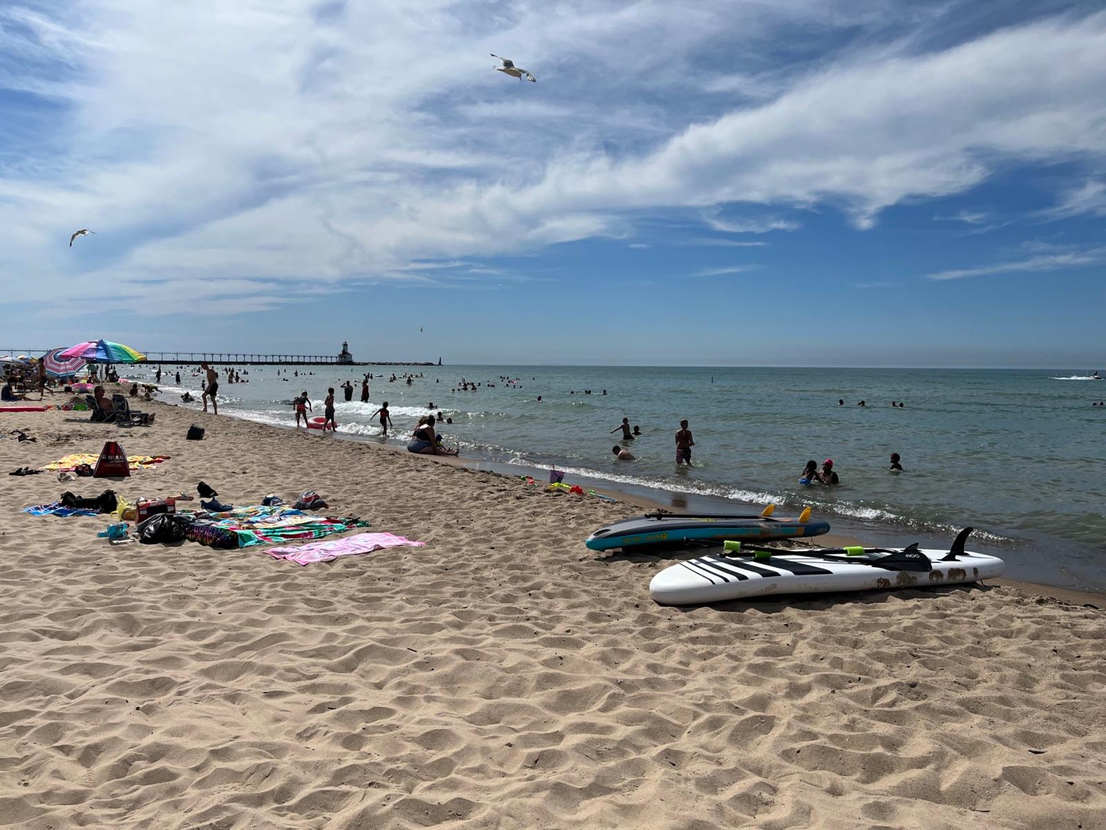 Best spotWashington Park BeachLaPorte County, Indiana · 104 mi awayPublic access · Agate, Beach Glass, Leland Blue +2
- Abelman's Gorge areaSauk County, Wisconsin · 106 mi awayPublic access · Quartz, Quartzite
- DodgevilleIowa County, Wisconsin · 110 mi awayPublic access · Barite, Calcite, Galena +4
- Magoon Creek Natural AreaManistee County, Michigan · 111 mi awayCheck locally · Yooperlite
- Sundling ParkManistee County, Michigan · 112 mi awayPublic access
- Fifth Avenue BeachManistee County, Michigan · 115 mi awayCheck locally
- Orchard Beach State ParkManistee County, Michigan · 117 mi awayFee dig
- Coal CityWill County, Illinois · 123 mi awayPublic access · Concretion With Fossil
- Mazon RiverGrundy County, Illinois · 123 mi awayPublic access · Fossil
- Cobb & MifflinIowa County, Wisconsin · 126 mi awayPublic access · Azurite, Barite, Chalcopyrite +3
- Old FacefullManistee County, Michigan · 127 mi awayPublic access · Quartz, Unakite, Petoskey Stone +1
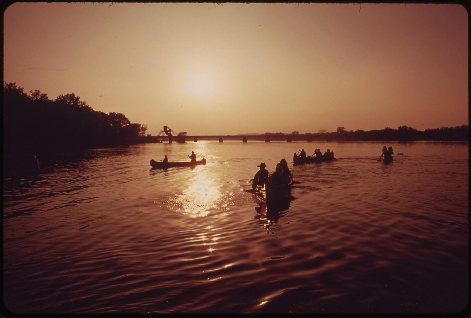 Best spotMuscodaIowa County, Wisconsin · 127 mi awayPublic access · Agate
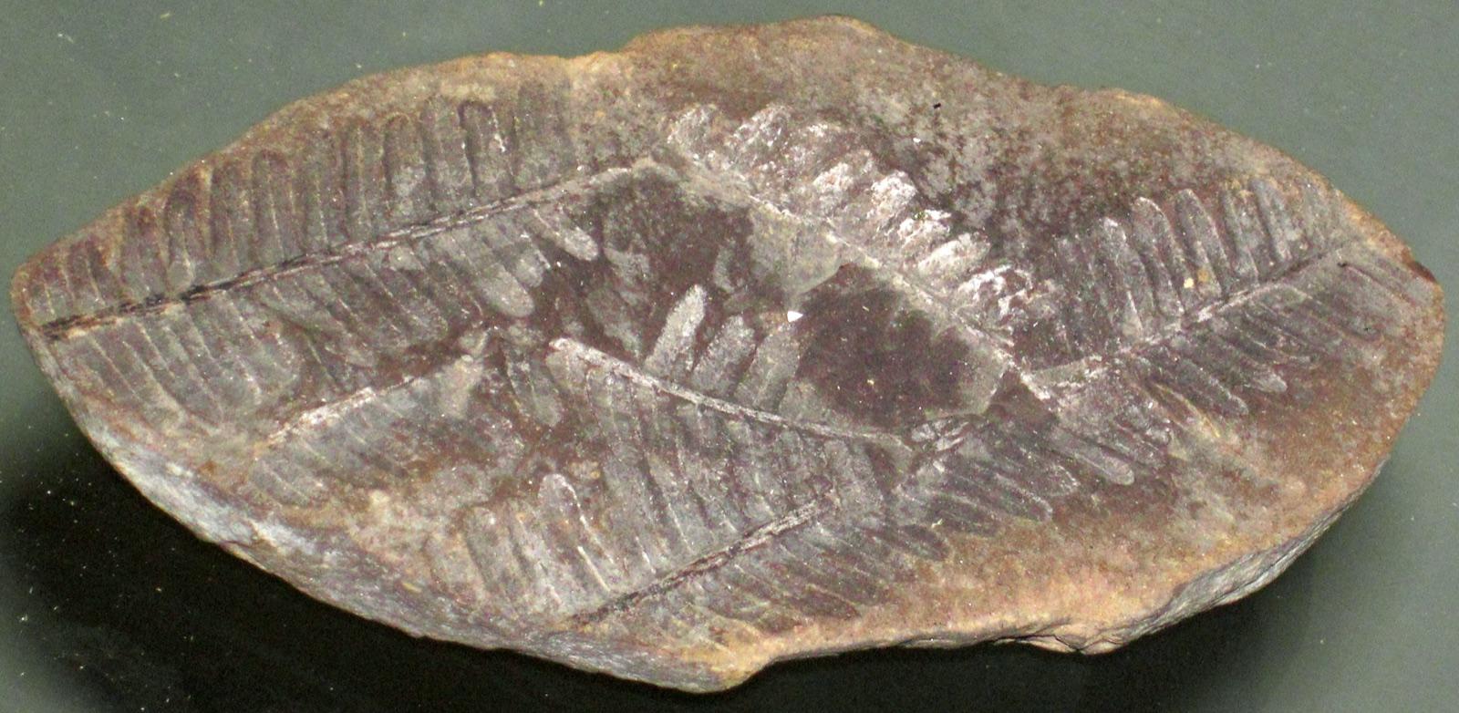 Best spotMazonia-Braidwood State Fish & Wildlife Area (Pit 11)Grundy County, Illinois · 129 mi awayPublic access · Concretion With Fossil, Siderite, Tully Monster +1
- Arcadia Beach Natural AreaManistee County, Michigan · 130 mi awayPublic access · Petoskey Stone, Charlevoix Stone, Coral +1
- East BrooklynGrundy County, Illinois · 131 mi awayPublic access · Marcasite, Pyrite
- TigertonShawano County, Wisconsin · 131 mi awayPublic access · Bertrandite, Beryl, Quartz +1
- Howard City Gem MineKent County, Michigan · 131 mi awayFee dig
- PlattevilleGrant County, Wisconsin · 132 mi awayPublic access · Barite, Calcite, Galena +4
- Hazel GreenGrant County, Wisconsin · 133 mi awayPublic access · Barite, Calcite, Galena +4
- GalenaJo Daviess County, Illinois · 135 mi awayPublic access · Cerussite, Galena
- Grace Road BeachBenzie County, Michigan · 137 mi awayPublic access · Petoskey Stone, Charlevoix Stone
- Frankfort Public Beach And PlaygroundBenzie County, Michigan · 138 mi awayCheck locally · Granite, Chert, Quartz +5
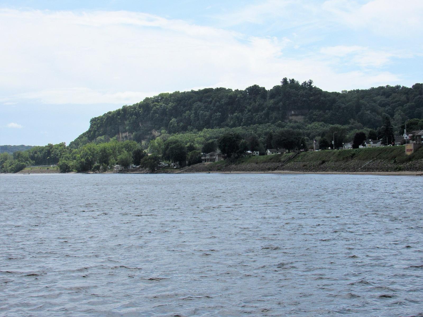 Best spotBellevueJackson County, Iowa · 139 mi awayPublic access · Lake Superior Agate, Moss Agate, Carnelian +3
- Point Betsie LighthouseBenzie County, Michigan · 141 mi awayPublic access · Petoskey Stone, Chert, Chain Coral +10
- BoscobelCrawford County, Wisconsin · 142 mi awayPublic access · Pearl
- Central Wood CountyWood County, Wisconsin · 143 mi awayPublic access · Agate, Aventurine, Quartzite
- DubuqueDubuque County, Iowa · 144 mi awayPermission required · Lake Superior Agate, Moss Agate, Oolitic Agate +4
- WerleyGrant County, Wisconsin · 144 mi awayPublic access · Barite, Dogtooth Calcite, Galena +4
- Grant River bedsGrant County, Wisconsin · 146 mi awayCheck locally · Pearl
- Farr Lake S.E. AreaOconto County, Wisconsin · 148 mi awayPublic access · Beryl, Quartz, Spodumene +1
Most-reported finds near Milwaukee
Counts reflect how many spots in this radius mention each material.
Hunting something specific near Milwaukee?
These materials have enough dedicated spots around Milwaukee to earn their own page, with distances and a separate map.
Milwaukee rockhounding FAQ
Where can I go rockhounding near Milwaukee?+
There are 68 mapped rockhounding spots within about 150 miles of Milwaukee, Wisconsin. The closest is South Shore Park in Milwaukee County, roughly 3 miles away. Every one is listed on this page, closest first.
What rocks and minerals can you find near Milwaukee?+
Spots within driving distance of Milwaukee most commonly produce fossil, unakite, petoskey stone, quartz, beach glass, cold water agate.
Is rockhounding legal near Milwaukee?+
Casual hand collecting of common rocks and minerals is allowed on most BLM and U.S. Forest Service land, with limits set by the local field office. National parks, most state parks, and tribal land are off-limits. Each spot page on this site lists access status; always confirm current rules with the managing agency before a trip.
Are there free places to rockhound near Milwaukee?+
51 of the 68 spots here are mapped as public access, with no dig fee. Some sit in parks or forests that charge for parking or day use, so check with the land manager first. 1 is a fee dig, where you pay and keep what you find.
Where can I go gem hunting or crystal digging near Milwaukee?+
8 of the mapped spots near Milwaukee report quartz or amethyst. The closest is Pier Cove Park, about 91 miles out. For pay-to-dig, the nearest fee dig is Howard City Gem Mine, about 131 miles away.
How far do most rockhounders drive from Milwaukee?+
Most weekend trips from Milwaukee fall inside a 2 to 3 hour drive, which is roughly the 150-mile radius shown on this page. Closer spots are good for half-day outings; the outer ones are better as overnight trips.
More state coverage
The spots above span 5 states. Open the state page for the full county-by-county view.
Pack Milwaukee's rockhounding map in your pocket
Open RockHoundR for live land overlays, weather, geology, directions, and saved finds, wherever the drive takes you.

