
Where to Find Geodes near Richmond, VA
4 of the mapped rockhounding spots within 150 miles of Richmond report geode. The closest is Smoke Hole, about 135 miles out (2 hr 49 min drive).
Geodes are hollow, roughly spherical rocks lined with crystals, most often quartz, amethyst, or calcite. They weather out of limestone and volcanic host rock and concentrate in creek gravels and hillside float.
Every geode spot within 150 miles of Richmond
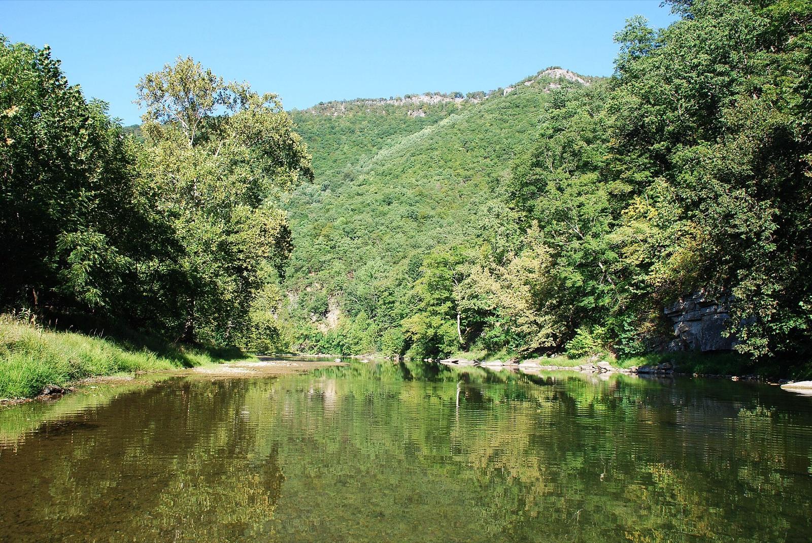 Best spotSmoke HolePendleton County, West Virginia · 135 mi awayPublic access · Geode, Gypsum, Pyrite +1
 Knapp CreekPocahontas County, West Virginia · 143 mi awayPublic access · Geode
- Sitlington CreekPocahontas County, West Virginia · 146 mi awayPublic access · Geode
- Deer CreekPocahontas County, West Virginia · 147 mi awayPublic access · Geode
Geodes near Richmond FAQ
Where can I find geodes near Richmond?+
4 mapped spots within about 150 miles of Richmond report geode. The closest is Smoke Hole in Pendleton County, roughly 135 miles away (2 hr 49 min drive). The full list with coordinates is on this page.
Can I collect geodes on public land near Richmond?+
4 of the 4 spots here sit on land mapped as publicly accessible. Casual hand collecting of common rocks and minerals is allowed on most BLM and Forest Service land with limits set by the local field office; national parks and most state parks are closed to collecting. Confirm current rules with the managing agency before a trip.
How do I know if a rock is a geode before cracking it open?+
Candidates are rounder and lighter than solid rocks of the same size, with a bumpy cauliflower surface. Shake one next to your ear: loose crystals sometimes rattle. The only sure test is opening it with a cross-peen hammer or a soil pipe cutter, which gives cleaner halves than a flat smash.
How far from Richmond do I need to drive?+
The nearest geode spot is about 135 miles out, and the farthest on this list is 147 miles. Most fall inside a normal weekend day-trip radius.
Keep exploring from Richmond
Where to Find Geodes near other cities
Hunt geodes around Richmond with the map in your pocket
RockHoundR shows these spots on an offline map with public land overlays, geology layers, weather, and a log for your finds.

