
Crystal Hunting near State College, PA
62 of the mapped rockhounding spots within 150 miles of State College report crystal. The closest is Lemont, about 4 miles out (6 min drive).
Most collectable crystals in the field are quartz family: clear rock crystal, amethyst, smoky quartz, and rose quartz from pegmatites, veins, and vugs in host rock.
Every crystal spot within 150 miles of State College
 LemontCentre County, Pennsylvania · 4 mi awayPublic access · Quartz
- MapletonHuntingdon County, Pennsylvania · 29 mi awayPublic access · Quartz
- ClaysburgBlair County, Pennsylvania · 43 mi awayPublic access · Chert, Quartz
 National Limestone Quarry No. 2Snyder County, Pennsylvania · 44 mi awayPermission required · Calcite, Quartz, Wavellite
- Aughwick CreekHuntingdon County, Pennsylvania · 45 mi awayPublic access · Barite, Calcite, Chalcopyrite +2
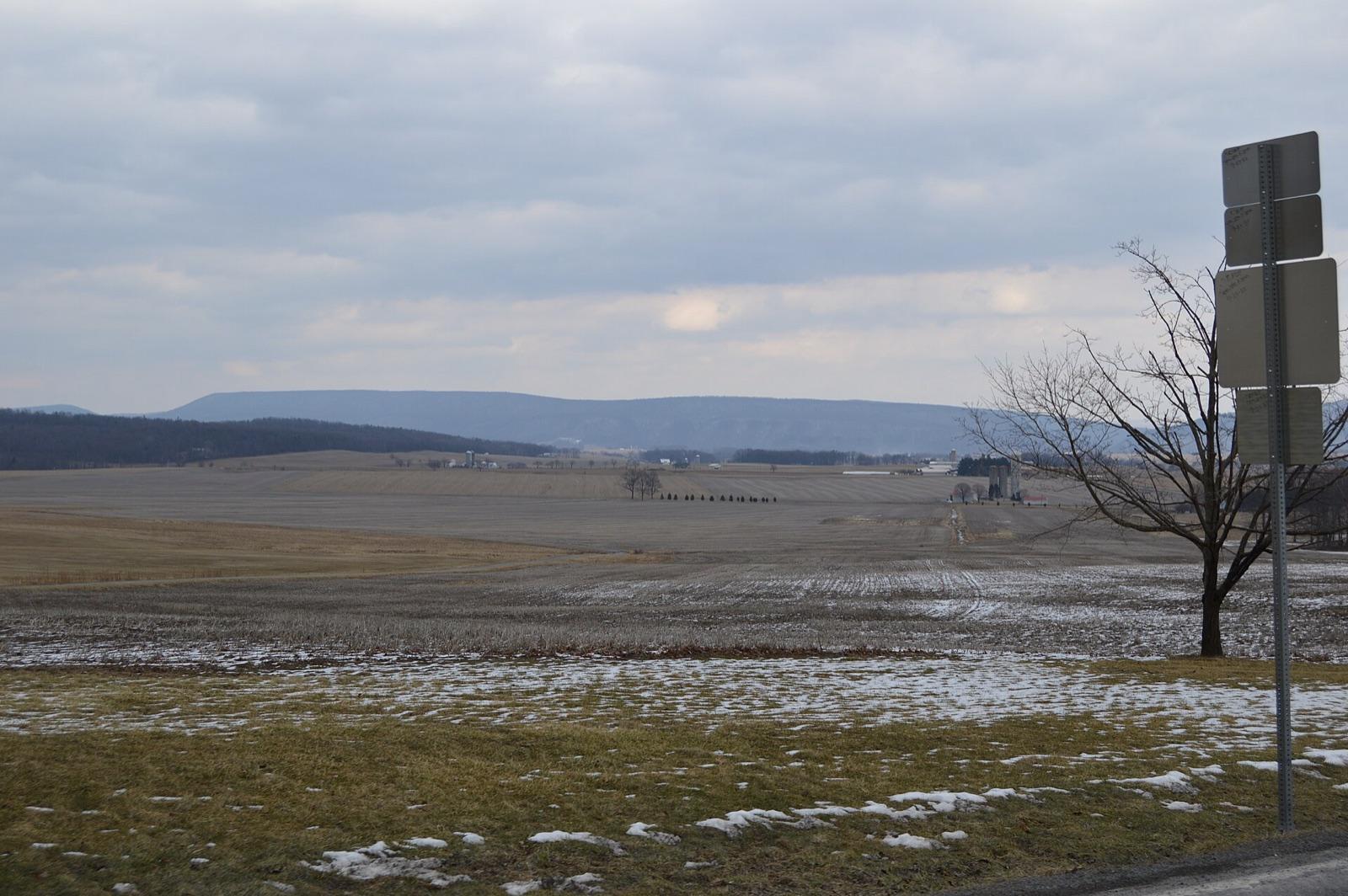 Best spotMorrison CoveBedford County, Pennsylvania · 47 mi awayPublic access · Quartz, Amethyst, Calcite +1
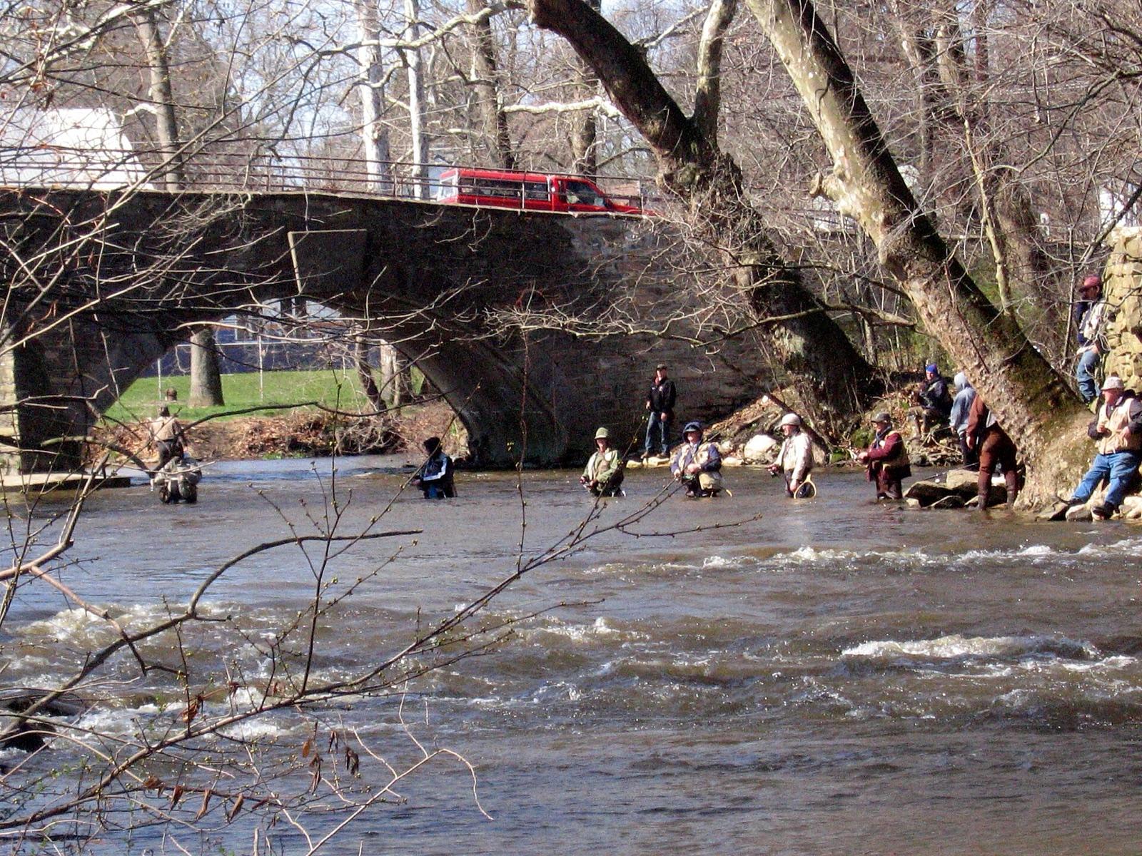 Best spotCarlisleCumberland County, Pennsylvania · 52 mi awayPublic access · Banded Agate, Quartz, Jasper +1
- Sherman ValleyBedford County, Pennsylvania · 54 mi awayPublic access · Calcite, Chlorite, Orthoclase +4
- Little Rocky RidgeCumberland County, Pennsylvania · 60 mi awayPublic access · Hematite, Quartz
- White RocksCumberland County, Pennsylvania · 61 mi awayCheck locally · Cryptomelane, Goethite, Fluorite +3
- HarrisburgYork County, Pennsylvania · 69 mi awayPublic access · Agate, Amethyst, Chalcedony +4
- GettysburgAdams County, Pennsylvania · 76 mi awayPublic access · Copper, Chabazite, Epidote +5
- HancockWashington County, Maryland · 76 mi awayPublic access · Fossil, Quartz
- DerryWestmoreland County, Pennsylvania · 80 mi awayPublic access · Quartz, Chalcedony, Jasper
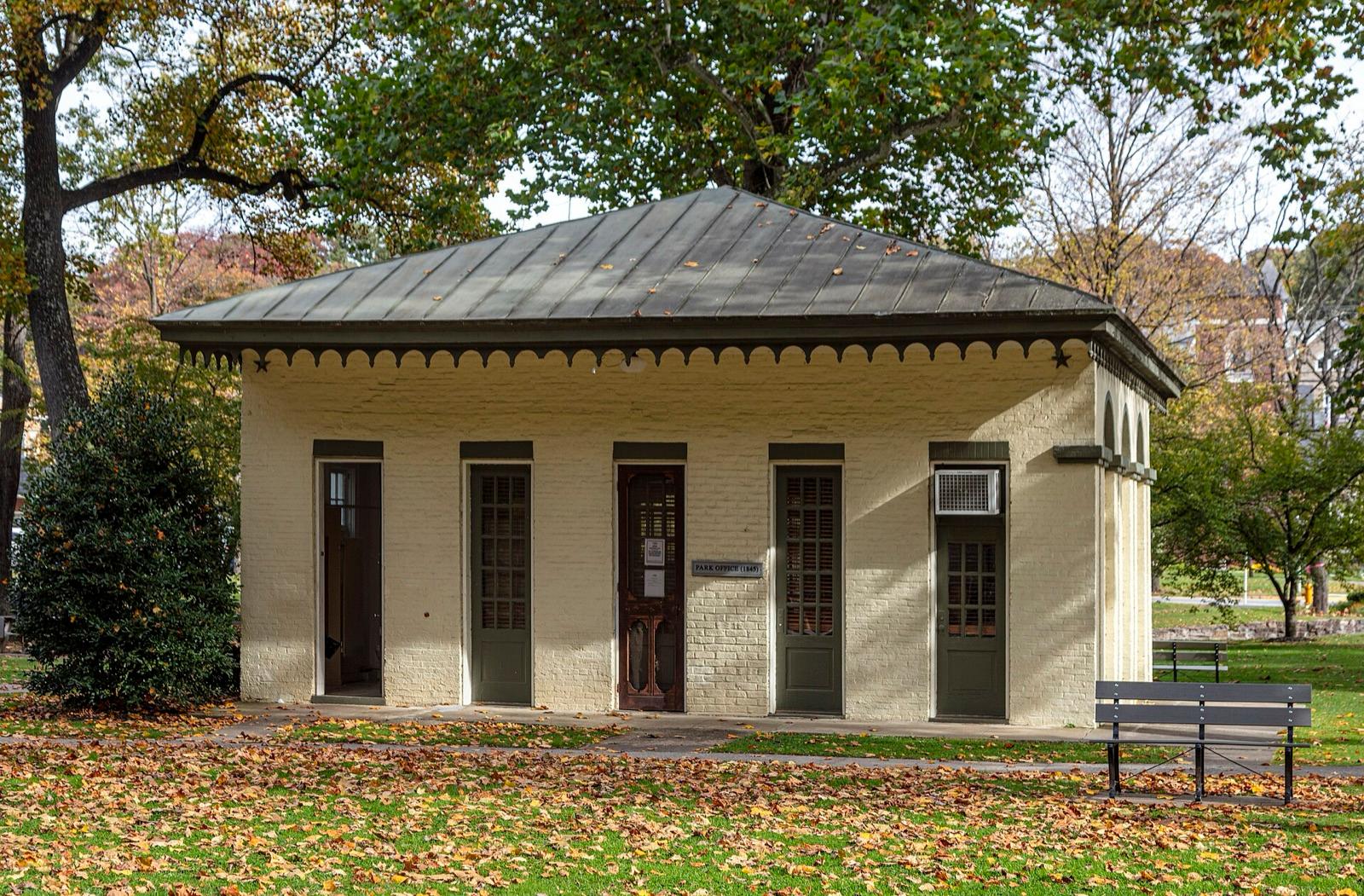 Best spotBerkeley SpringsMorgan County, West Virginia · 81 mi awayPublic access · Calcite, Jasper, Pyrite Cube +2
- LigonierWestmoreland County, Pennsylvania · 84 mi awayPublic access · Quartz, Fossil
- Berkeley CountyBerkeley County, West Virginia · 91 mi awayPublic access · Calcite, Dolomite, Quartz
- Dollyhyde CreekFrederick County, Maryland · 97 mi awayPublic access · Bornite, Pink Calcite, Covellite +2
- McAdooSchuylkill County, Pennsylvania · 99 mi awayPublic access · Quartz
- Mt. PleasantWestmoreland County, Pennsylvania · 99 mi awayPermission required · Amethyst
- HautoCarbon County, Pennsylvania · 103 mi awayPublic access · Quartz
- LancasterLancaster County, Pennsylvania · 105 mi awayPublic access · Dogtooth Calcite, Fluorite, Hematite +2
- Crystal CaveBerks County, Pennsylvania · 107 mi awayPublic access · Geode, Quartz, Gemstone
- Reed Mine & Walkens MineHarford County, Maryland · 110 mi awayPublic access · Chromite, Brucite, Quartz +2
- Mt. PisgahCarbon County, Pennsylvania · 111 mi awayPublic access · Allanite, Autunite, Carnotite +5
- Chrome HillHarford County, Maryland · 111 mi awayPublic access · Smoky Quartz, Actinolite, Bronzite +3
- Baltimore CountyBaltimore County, Maryland · 112 mi awayPublic access · Copper, Quartz, Garnet +4
- MarriottsvilleHoward County, Maryland · 112 mi awayPublic access · Quartz
- Snickers GapJefferson County, West Virginia · 113 mi awayPermission required · Blue Amphibole, Green Amphibole, Quartz +1
- GraniteBaltimore County, Maryland · 113 mi awayPublic access · Quartz, Garnet, Tourmaline +1
- FlintvilleHarford County, Maryland · 113 mi awayPermission required · Feldspar, Garnet, Mica +1
- CastletonHarford County, Maryland · 116 mi awayPublic access · Quartz, Tourmaline
- Bare Hills mining districtBaltimore County, Maryland · 116 mi awayPublic access · Actinolite, Malachite, Epidote +8
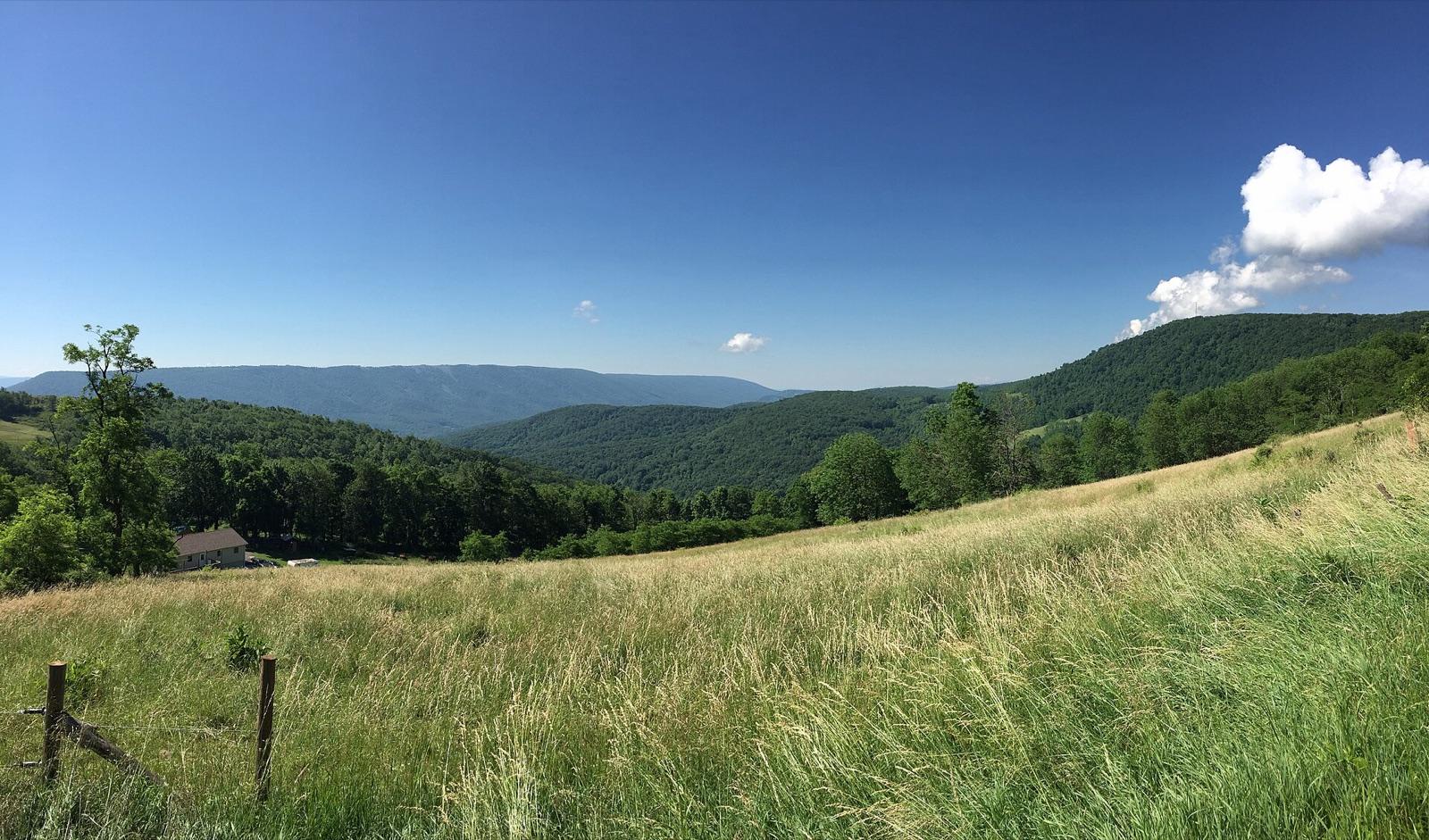 Best spotKnobly MountainMineral County, West Virginia · 117 mi awayPublic access · Chalcedony, Calcite, Dolomite +4
- CoatsvilleChester County, Pennsylvania · 119 mi awayPublic access · Amethyst, Beryl, Epidote +2
- KnauertownChester County, Pennsylvania · 120 mi awayPublic access · Apatite, Apophyllite, Azurite +7
 Best spotLoudon CountyLoudoun County, Virginia · 120 mi awayPublic access · Calcite, Datolite, Epidote +6
- White MarshBaltimore County, Maryland · 122 mi awayPublic access · Amethyst
- KunkeltownMonroe County, Pennsylvania · 126 mi awayPublic access · Quartz, Azurite
- RivertonWarren County, Virginia · 129 mi awayPublic access · Calcite, Quartz
- AvondaleChester County, Pennsylvania · 129 mi awayPublic access · Quartz, Smoky Quartz, Rutile
- WillowdaleChester County, Pennsylvania · 129 mi awayPermission required · Quartz
- BeltsvillePrince George's County, Maryland · 129 mi awayPublic access · Hyalite Opal, Quartz, Silicified Wood
- Front RoyalWarren County, Virginia · 131 mi awayPublic access · Biotite, Quartz, Unakite +1
- East BradfordChester County, Pennsylvania · 131 mi awayPublic access · Quartz
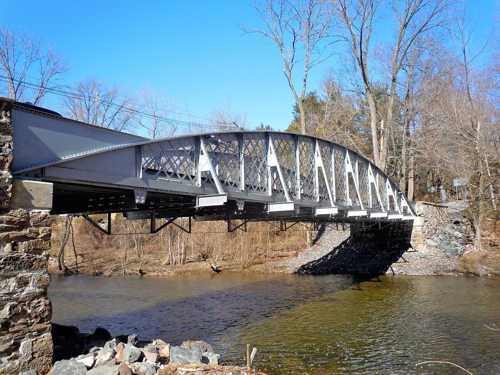 Best spotBrookdale MineChester County, Pennsylvania · 132 mi awayPublic access · Quartz, Pyromorphite, Azurite +4
- EastonNorthampton County, Pennsylvania · 135 mi awayPublic access · Chert, Flint, Apatite +6
- Brandywine CreekChester County, Pennsylvania · 136 mi awayPermission required · Amethyst
- CentrevilleFairfax County, Virginia · 138 mi awayPublic access · Amethyst
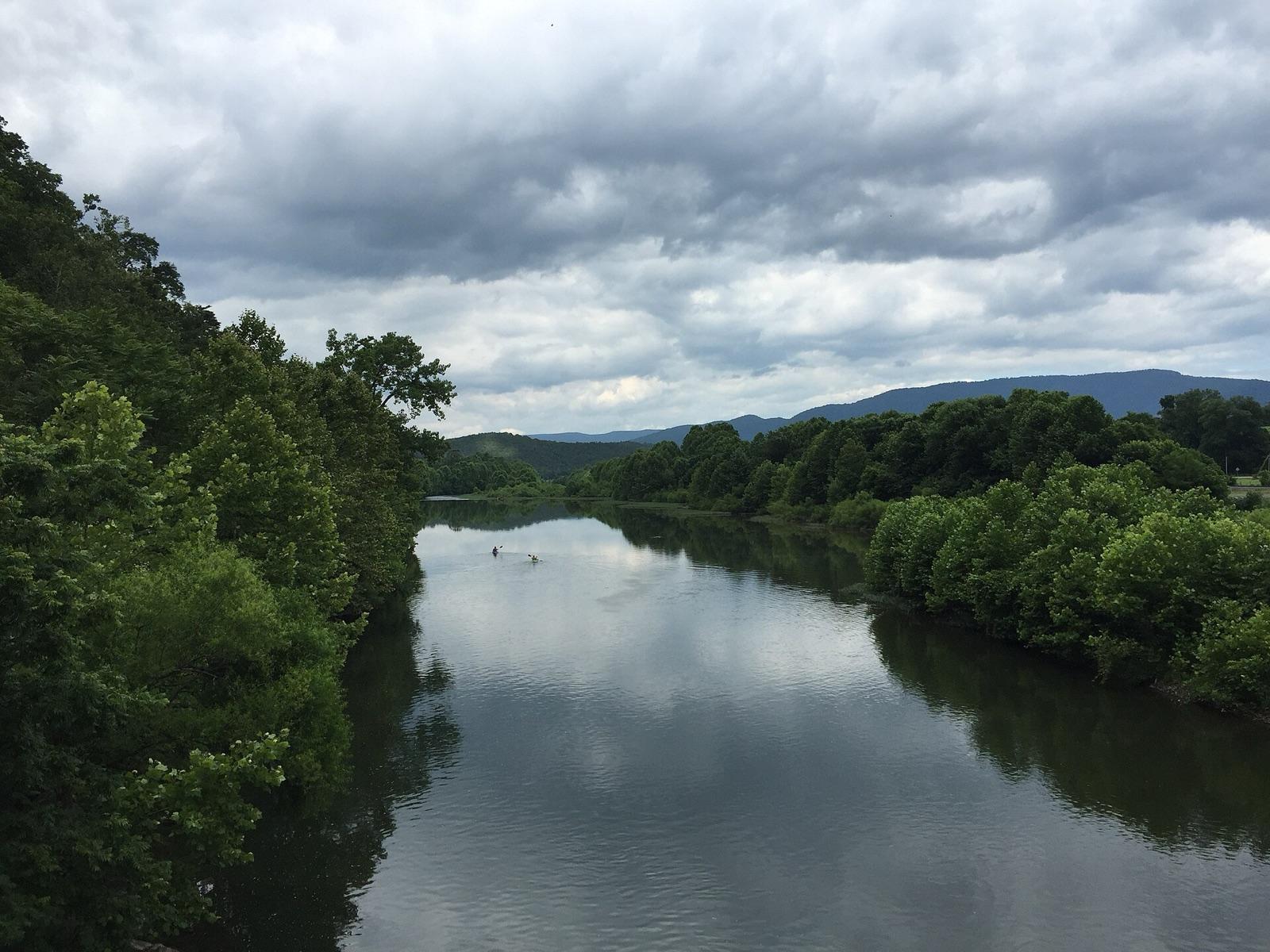 Best spotPetersburgGrant County, West Virginia · 140 mi awayPublic access · Calcite, Dolomite, Quartz
- ArlingtonArlington County, Virginia · 140 mi awayPublic access · Blue Quartz
- PhiladelphiaDelaware County, Pennsylvania · 141 mi awayPublic access · Agate, Petrified Wood, Chalcedony +3
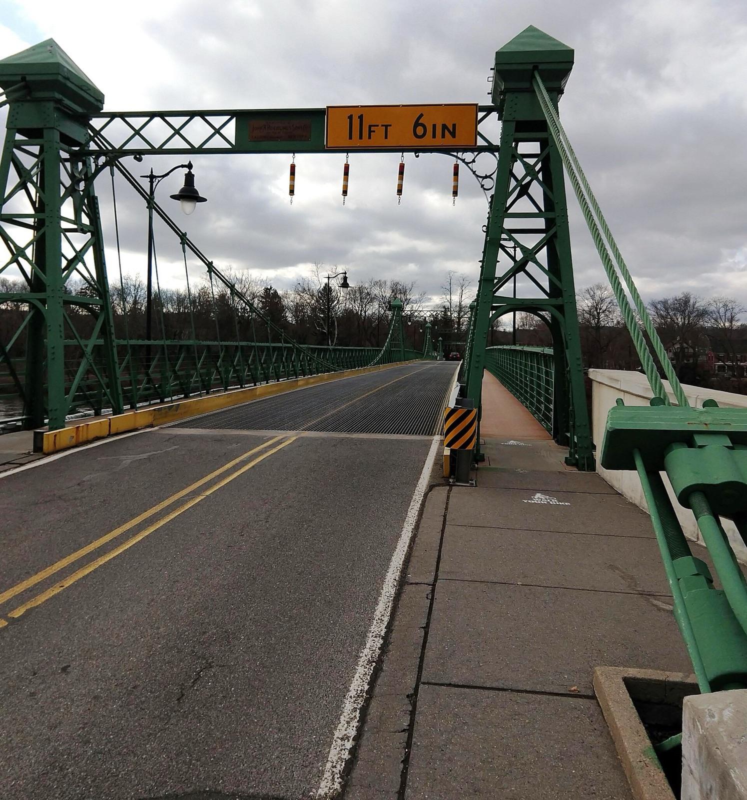 Best spotRiegelsvilleHunterdon County, New Jersey · 141 mi awayPublic access · Jasper, Quartz
- Blue HillDelaware County, Pennsylvania · 141 mi awayPermission required · Albite, Amazonite, Beryl +3
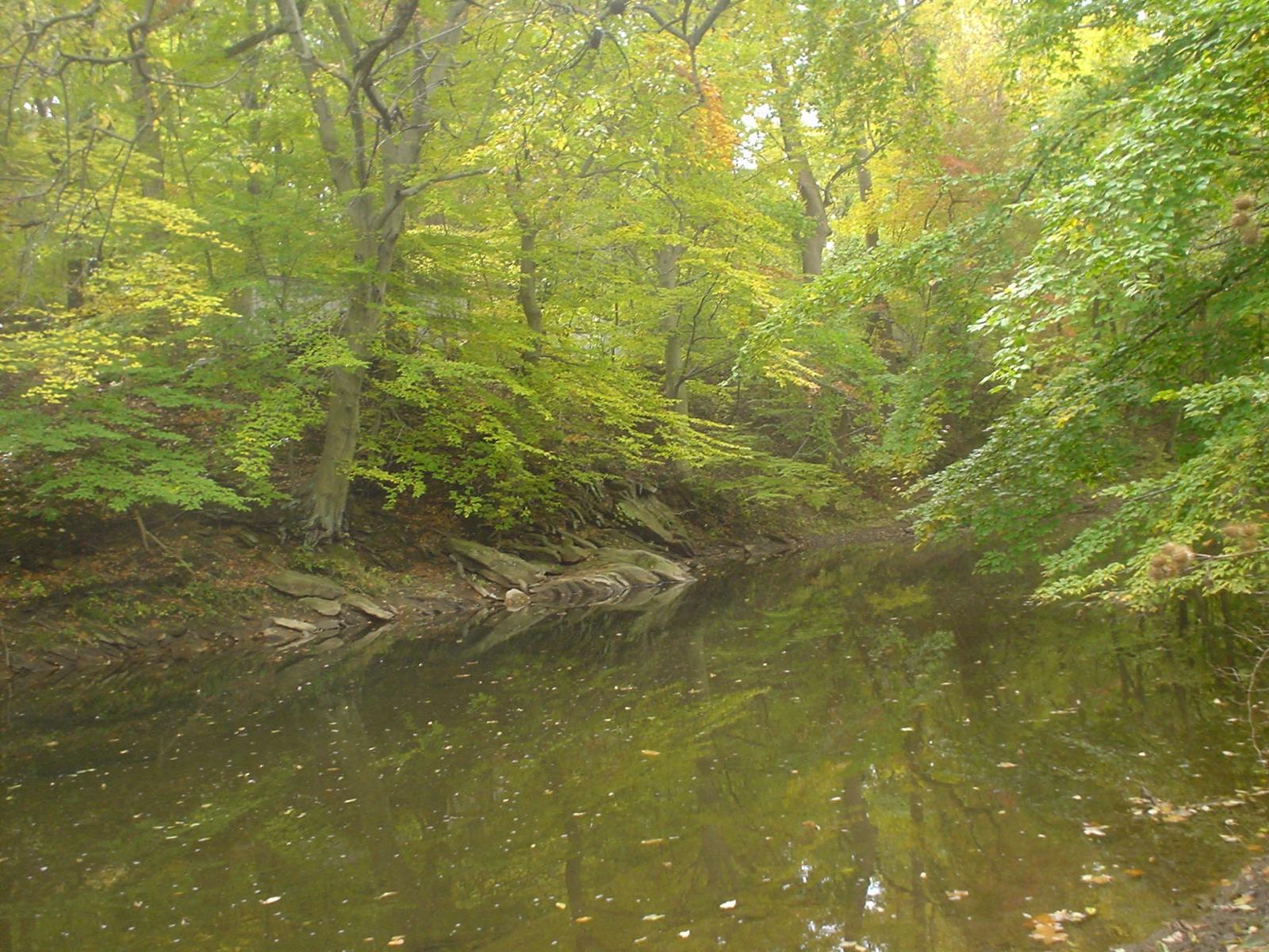 Best spotChester CreekDelaware County, Pennsylvania · 141 mi awayPublic access · Amethyst, Smoky Quartz
- BridgeportMontgomery County, Pennsylvania · 142 mi awayPublic access · Calcite, Chalcedony, Dolomite +5
- MarpleDelaware County, Pennsylvania · 142 mi awayPublic access · Amethyst, Quartz
- StroudsbrugMonroe County, Pennsylvania · 143 mi awayPublic access · Agatized Coral, Quartz
- East Branch Naamanm CreekDelaware County, Pennsylvania · 144 mi awayPublic access · Sphene, Quartz, Garnet
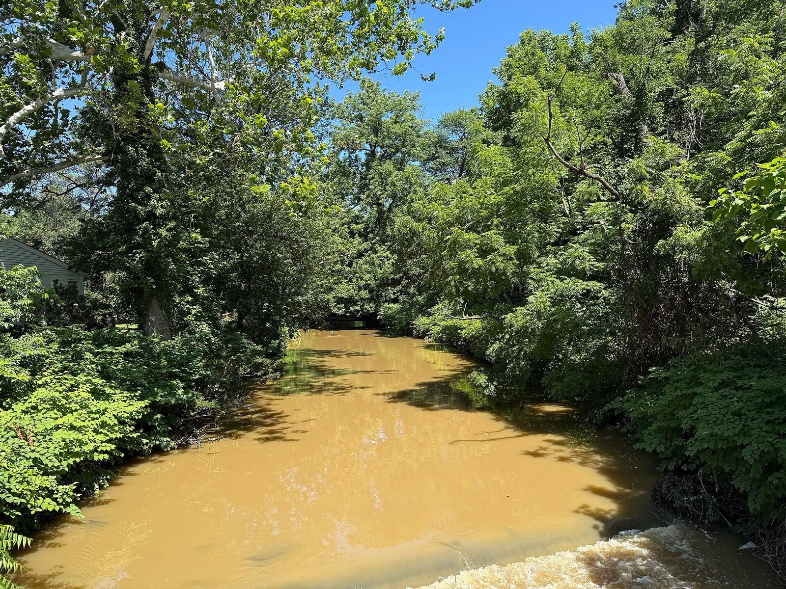 Best spotCrum CreekDelaware County, Pennsylvania · 145 mi awayPublic access · Golden Beryl, Amethyst, Garnet +1
- EurekaBucks County, Pennsylvania · 145 mi awayPublic access · Smoky Quartz
- UplandDelaware County, Pennsylvania · 145 mi awayPublic access · Geode, Amethyst
Types of crystals reported near State College
Counts reflect how many spots in this radius mention each variety.
- Quartz52
- Amethyst12
- Smoky Quartz5
- Blue Quartz1
- Herkimer Diamond1
Crystals near State College FAQ
Where can I find crystals near State College?+
62 mapped spots within about 150 miles of State College report crystal. The closest is Lemont in Centre County, roughly 4 miles away (6 min drive). The full list with coordinates is on this page.
Can I collect crystals on public land near State College?+
54 of the 62 spots here sit on land mapped as publicly accessible. Casual hand collecting of common rocks and minerals is allowed on most BLM and Forest Service land with limits set by the local field office; national parks and most state parks are closed to collecting. Confirm current rules with the managing agency before a trip.
Where do quartz crystals actually form?+
In open pockets: vugs in limestone, gas cavities in volcanic rock, and pockets inside pegmatites. That is why digging productive crystal ground means following a vein or a pocket zone rather than sifting random soil. Loose points in creek beds are pocket material that erosion already freed.
How far from State College do I need to drive?+
The nearest crystal spot is about 4 miles out, and the farthest on this list is 145 miles. Most fall inside a normal weekend day-trip radius.
Keep exploring from State College
Crystal Hunting near other cities
Hunt crystals around State College with the map in your pocket
RockHoundR shows these spots on an offline map with public land overlays, geology layers, weather, and a log for your finds.

