
Rockhounding in Esmeralda County, Nevada
15 mapped rockhounding spots in Esmeralda County. Most commonly produces gold, lead, silver, copper.
Every rockhounding spot in Esmeralda County
 Best spotGoldfieldEsmeralda County, NevadaPublic access · Alum, Pyrite, Quartz +6
- Best spotCoaldaleEsmeralda County, NevadaPublic access · Agate, Chert, Hyalite Opal +2
- Best spotFish Lake ValleyEsmeralda County, NevadaPublic access · Cinnabar, Opalite
 Montezuma PeakEsmeralda County, NevadaCheck locally · Chalcedony, Chert, Jasper +3
 BasaltEsmeralda County, NevadaPublic access · Copper, Gold, Lead +2
- Esmerelda CountyEsmeralda County, NevadaPublic access · Gold, Lead, Platinum +2
- Lone MountainEsmeralda County, NevadaPublic access · Copper, Gold, Lead +2
- TokopEsmeralda County, NevadaPublic access · Copper, Gold, Lead +2
- Alkali Flat Hot SpringEsmeralda County, NevadaPublic access · Calcium, Magnesium Carbonate, Halite
- Veterans Memorial HighwayEsmeralda County, NevadaPublic access · Agate, Petrified Wood, Chalcedony
- Gold MountainEsmeralda County, NevadaPublic access · Citrine, Quartz
- Fish LakeEsmeralda County, NevadaPublic access · Apache Tear
- GemfieldEsmeralda County, NevadaFee dig · Chalcedony
- Monte Cristo RangeEsmeralda County, NevadaCheck locally · Variscite
- Rock HillEsmeralda County, NevadaPublic access · Variscite
Esmeralda County rockhounding photos
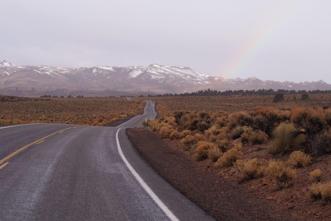
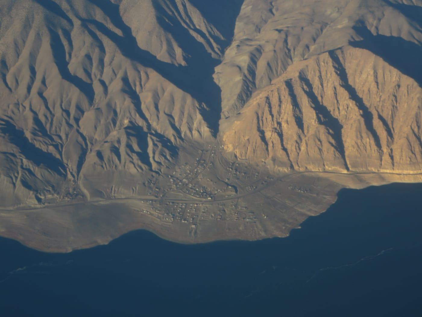
Representative spot and material photos from this county, shown where verified public image records are available.
Standouts in Esmeralda County
Hand-picked spots in Esmeralda County, chosen for unusual mineralogy or documented public access. Each card opens the full coordinates and access notes.
 Top pick
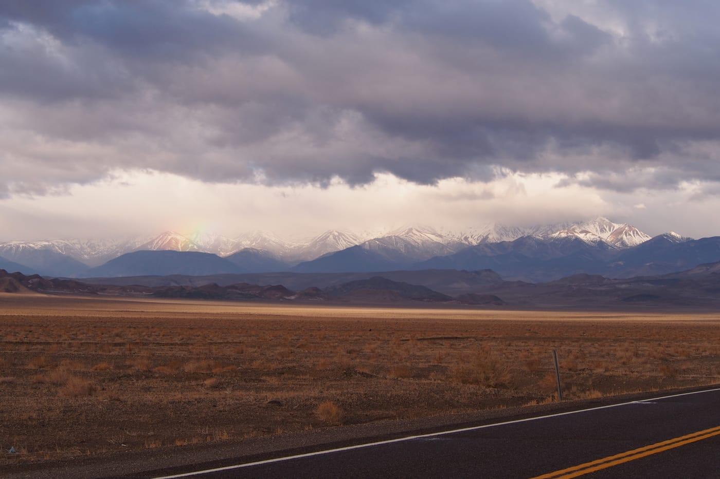
Coaldale
Public accessEsmeralda County
Coaldale is a useful Esmeralda County silica locality because the candidate data points to agate, chert, hyalite opal, jasper, and turquoise in a compact desert area.
Agate, Chert, Hyalite Opal, Jasper
 Top pick
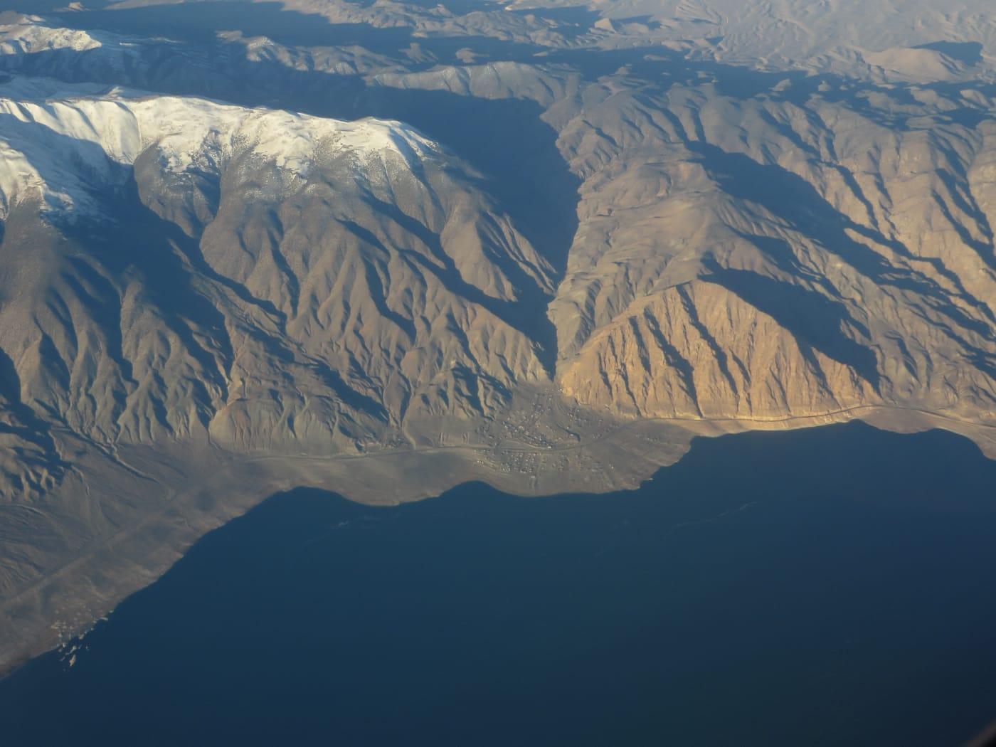
Fish Lake Valley
Public accessEsmeralda County
Fish Lake Valley is notable for hot-spring mercury mineralization rather than ordinary desert float, with Mindat records describing opalized and silicified rhyolite-hosted rock carrying cinnabar and opal.
Cinnabar, Opalite
 Top pick
Goldfield
Public accessEsmeralda County
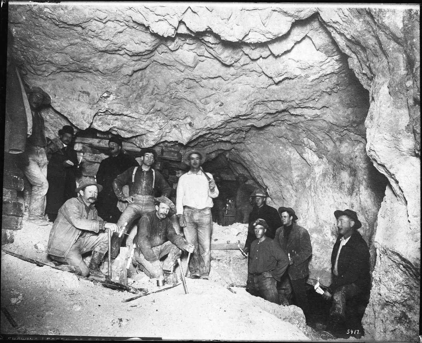
Goldfield is one of Nevada's strongest mineralogical districts because Mindat documents a high-sulfidation quartz-alunite gold system with native gold, native silver, pyrite, alunite, tellurides, and several type-locality minerals.
Alum, Pyrite, Quartz, Copper
Neighboring counties in Nevada
Adjacent rockhounding counties, ranked by how close their centroids sit to Esmeralda County. A natural extension if Esmeralda County is already on your trip plan.
Esmeralda County FAQ
Where can I rockhound in Esmeralda County, Nevada?+
What rocks and minerals are common in Esmeralda County?+
Are these Esmeralda County rockhounding spots on public land?+
Plan a Esmeralda County rockhounding trip
Open RockHoundR to see these spots on the map alongside land overlays, weather, geology, and your saved finds.

