
Where to Find Chalcedony in Kansas
Kansas has 6 mapped collecting spots that report chalcedony, spread across 6 counties. 5 of the spots are on land mapped as publicly accessible.
Every chalcedony spot we track in Kansas
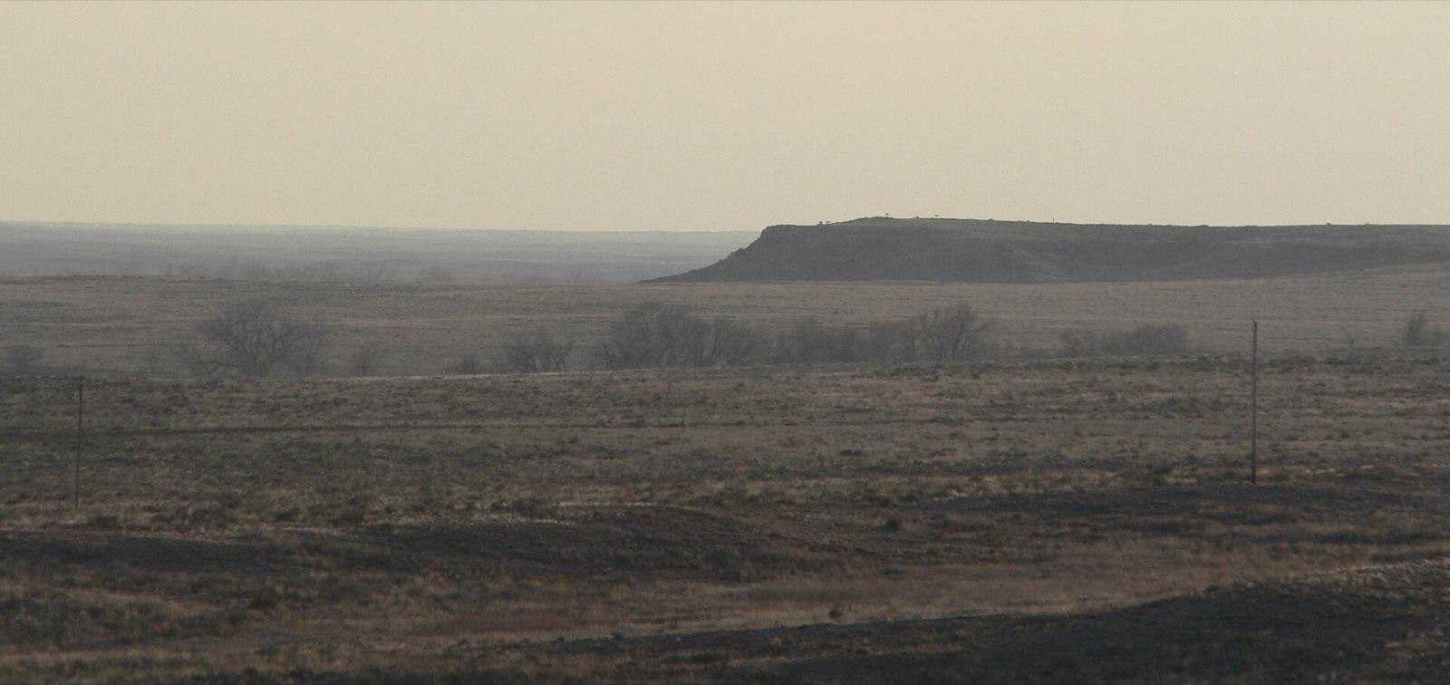 Best spotCimarron National GrasslandMorton County, KansasPublic access · Agate, Jasper, Chalcedony +2
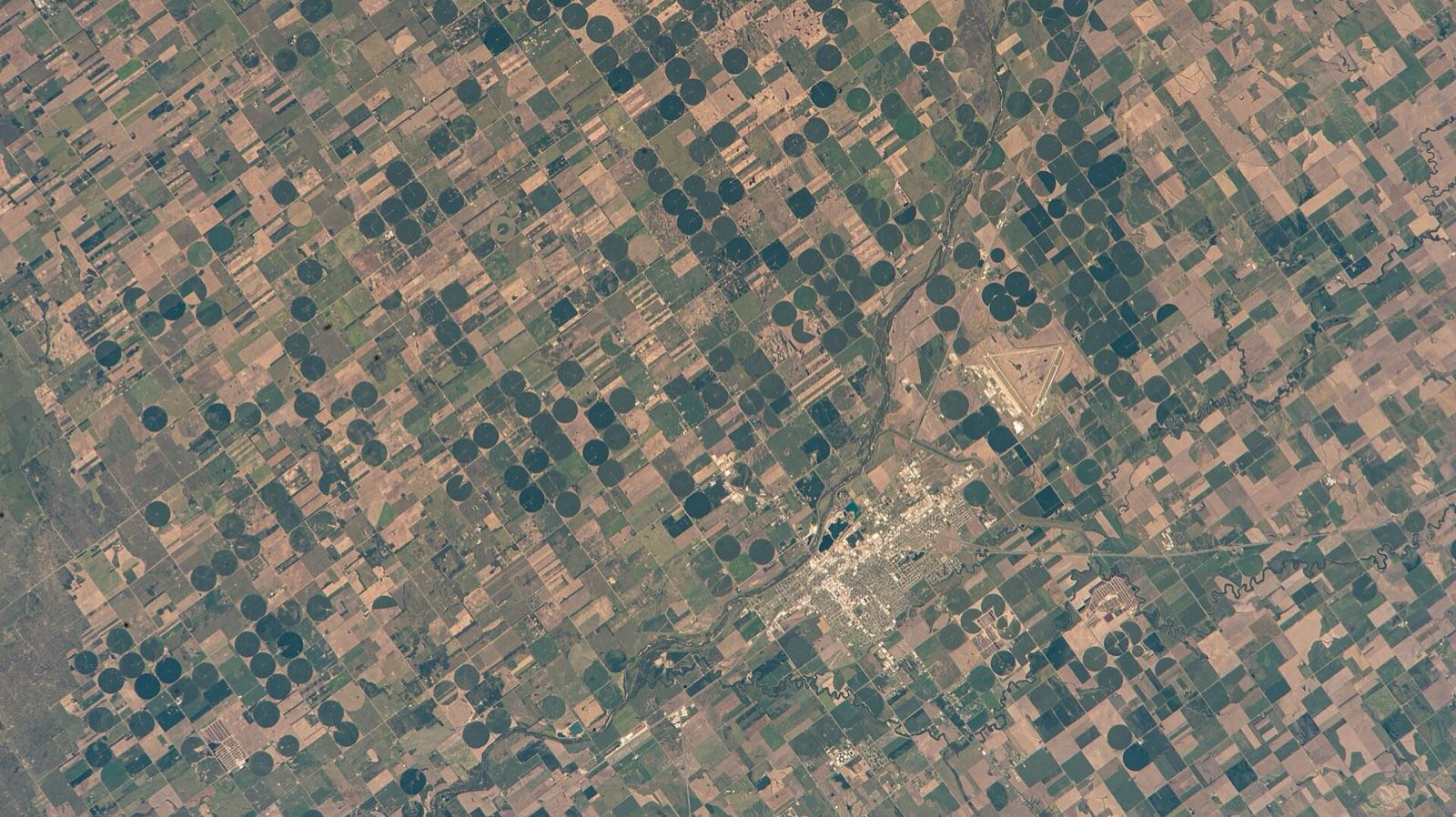 Best spotArkansas River at Great BendBarton County, KansasPublic access · Agate, Jasper, Chalcedony +1
 Medicine Lodge RiverBarber County, KansasPublic access · Agate, Jasper, Agatized Wood +3
 Big Blue RiverMarshall County, KansasPermission required · Agate, Chalcedony, Chert +1
- McLouthJefferson County, KansasPublic access · Lake Superior Agate, Chalcedony, Jasper +1
- Verdigris RiverWilson County, KansasPublic access · Agate, Jasper, Chalcedony +1
Standout chalcedony spots in Kansas
Hand-picked from the full list above, with the reason each one earns a trip.
Arkansas River at Great Bend
Barton County
At Great Bend the Arkansas River swings east and begins its 192-mile National Water Trail run to the Oklahoma line, a designation that gives the public access to sandbars and gravel islands along the route.
Cimarron National Grassland
Morton County
Cimarron National Grassland covers about 108,000 acres in the far southwest corner of Kansas and is the largest tract of public land in the state, managed by the U.S. Forest Service.
Best counties for chalcedony in Kansas
Ranked by the number of mapped chalcedony spots. County links open the full rockhounding page for that county.
- Barber County1 spot
- Barton County1 spot
- Jefferson County1 spot
- Marshall County1 spot
- Morton County1 spot
- Wilson County1 spot
Before you go
Read the chalcedony identification guide so you know what a keeper looks like in the field: Chalcedony in the encyclopedia.
Chalcedony in Kansas FAQ
Where can you find chalcedony in Kansas?+
How many chalcedony spots are mapped in Kansas?+
Is it legal to collect chalcedony in Kansas?+
Where else to find chalcedony
More minerals to hunt in Kansas
Hunt chalcedony in Kansas with the map in your pocket
RockHoundR puts these spots on an offline map with BLM and Forest Service overlays, geology layers, and a log for your finds.

