
Where to Find Geodes in Indiana
Indiana has 6 mapped collecting spots that report geodes, spread across 3 counties. The largest share sits in Lawrence County with 3 spots. 6 of the spots are on land mapped as publicly accessible.
Every geode spot we track in Indiana
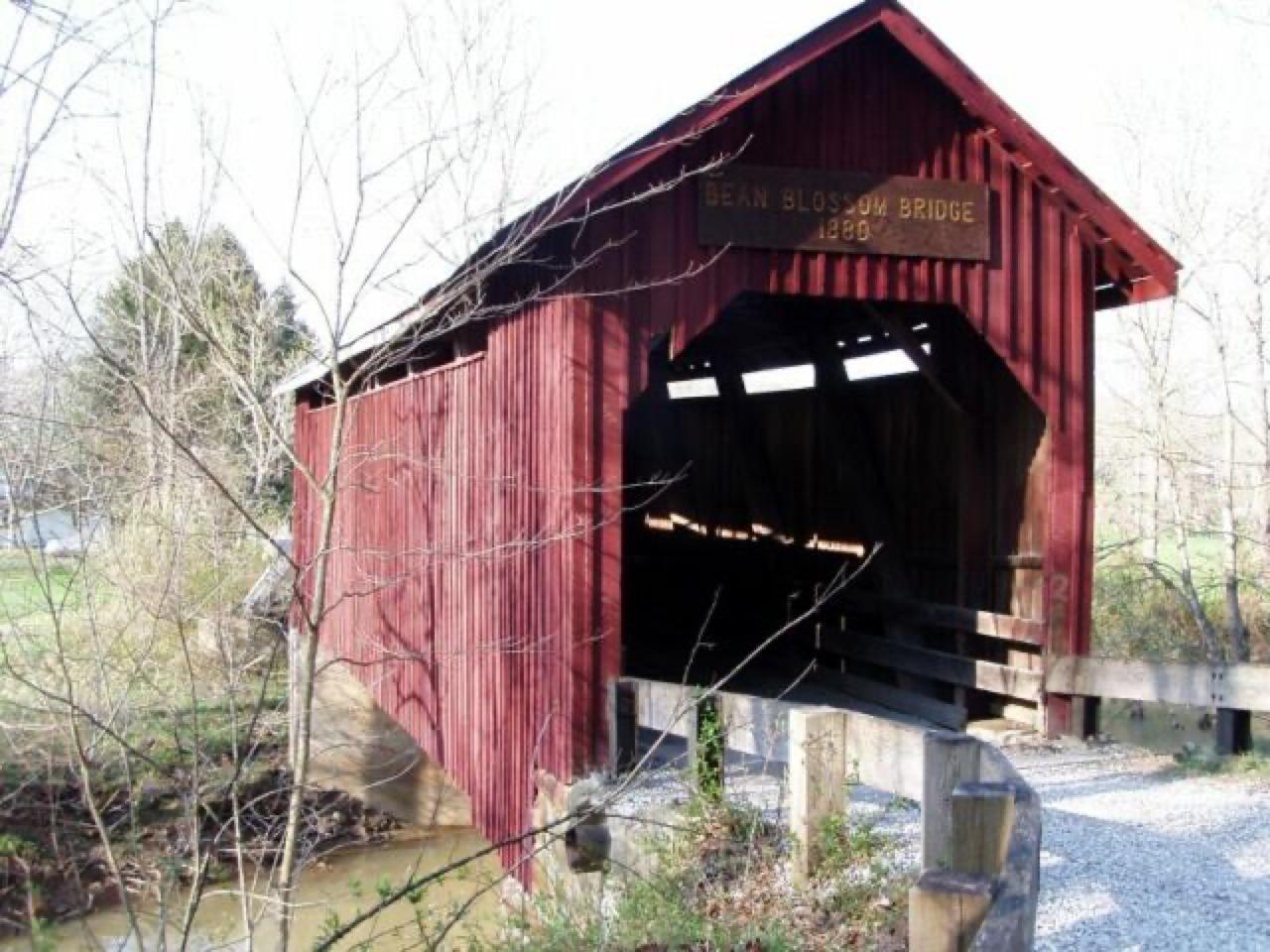 Best spotBeanblossomBrown County, IndianaPublic access · Geode
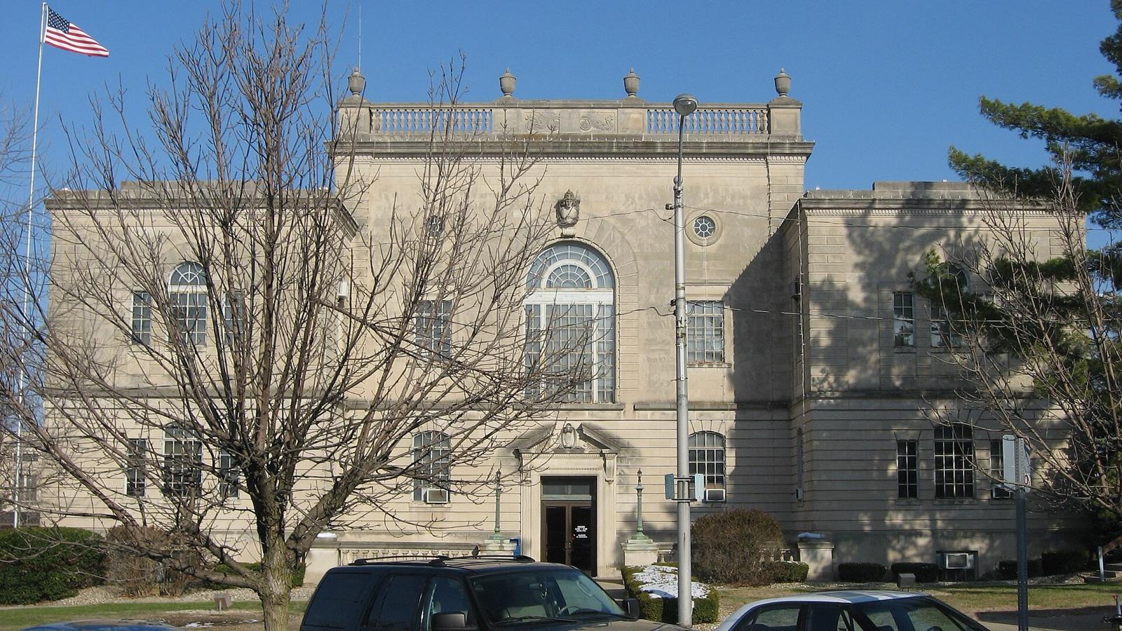 Best spotBedfordLawrence County, IndianaPublic access · Geode
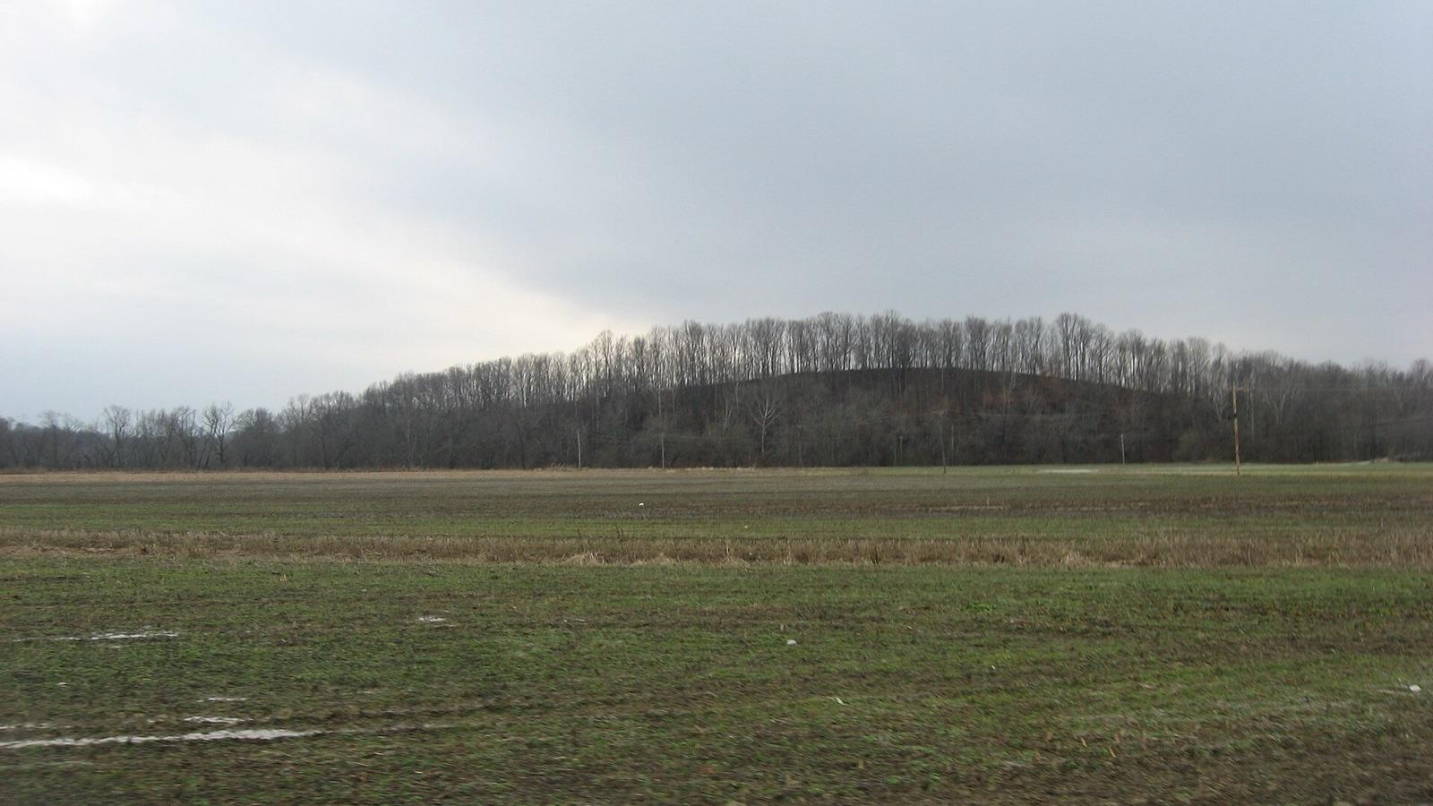 Best spotSalt CreekLawrence County, IndianaPublic access · Geode
 Lawrence CountyLawrence County, IndianaPublic access · Geode, Calcite, Sphalerite +3
- Brown County State ParkBrown County, IndianaPublic access · Geode, Marcasite, Aragonite +1
- ErieWabash County, IndianaPublic access · Geode
Standout geode spots in Indiana
Hand-picked from the full list above, with the reason each one earns a trip.
Beanblossom
Brown County
Beanblossom Creek cuts through the Harrodsburg and Salem limestones in Brown County, freeing quartz- and calcite-lined geodes that collect in the stream gravel.
Bedford
Lawrence County
Bedford is the "Limestone Capital of the World," center of the Salem Limestone (Indiana Limestone) district that supplied the Empire State Building and the Pentagon and became the official state stone in 1971.
Salt Creek
Lawrence County
Salt Creek drains the heart of Indiana's Mississippian geode belt, where quartz- and calcite-lined geodes weather out of the Harrodsburg and Salem limestones into the streambed gravel.
Best counties for geodes in Indiana
Ranked by the number of mapped geode spots. County links open the full rockhounding page for that county.
- Lawrence County3 spots
- Brown County2 spots
- Wabash County1 spot
Before you go
Read the geodes identification guide so you know what a keeper looks like in the field: Geode in the encyclopedia.
Geodes in Indiana FAQ
Where can you find geodes in Indiana?+
How many geode spots are mapped in Indiana?+
Is it legal to collect geodes in Indiana?+
Where else to find geodes
More minerals to hunt in Indiana
Hunt geodes in Indiana with the map in your pocket
RockHoundR puts these spots on an offline map with BLM and Forest Service overlays, geology layers, and a log for your finds.

