
Barnes Creek Panning Reserve: Rockhounding in Regional District of Central Kootenay, British Columbia
- Mineral reported
- 1
Barnes Creek Panning Reserve is a mapped rockhounding spot in Regional District of Central Kootenay, British Columbia, Canada. Reported finds include gold. Below: coordinates, access notes, and nearby spots.
About Barnes Creek Panning Reserve
Provincial recreational panning reserve of 188 ha on Barnes Creek, near Whatshan Lake. Anyone can hand pan on the Crown land inside the boundary. You do not need a Free Miner Certificate. Use a hand pan and hand shovel only: no metal detectors, sluices or dredges. The province's map shows a lot of private land inside the boundary, and you need the owner's permission there.
Plan your visit
Generally open to casual rockhounding
- County
- Regional District of Central Kootenay
- Province
- British Columbia
- Nearest road
- Whatshan Lake Road
- Postal code
- V0G 1K0
- Coordinates
- 49.90753, -118.12767
Coordinates are approximate. Confirm the exact ground and access before you head out.
Land & collecting status
Generally open to casual rockhounding
Most public-tagged spots in Canada sit on Crown land or public foreshore where casual hand collecting is generally allowed in reasonable amounts for personal use. Confirm posted rules and local bylaws before you dig.
Access note: Provincial recreational panning reserve of 188 ha on Barnes Creek, near Whatshan Lake. Anyone can hand pan on the Crown land inside the boundary. You do not need a Free Miner Certificate. Use a hand pan and hand shovel only: no metal detectors, sluices or dredges. The province's map shows a lot of private land inside the boundary, and you need the owner's permission there.
Collecting rules in Canada are set provincially and by land owner. Crown land and many public beaches allow casual hand collecting, while provincial and national parks are off-limits. Confirm the rules for this site before you dig.
Today's weather
Is today a good day to go?
The app shows live weather, recent rain, and a daily rockhounding score for Barnes Creek Panning Reserve.
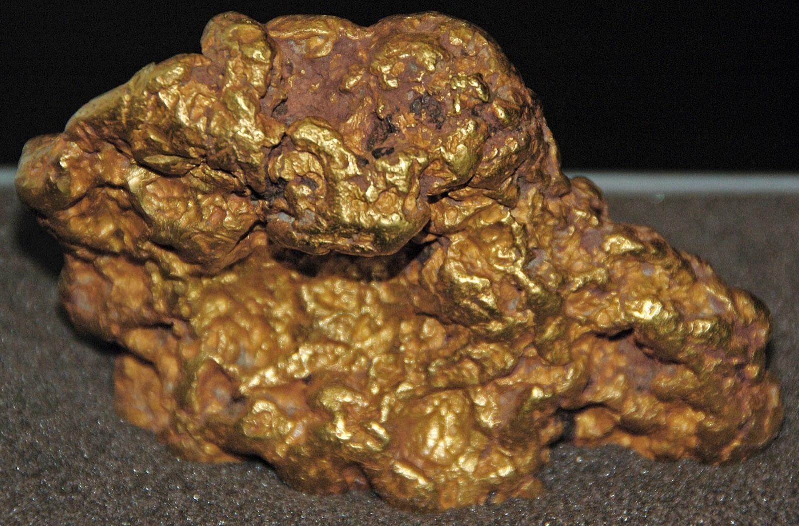
Get the appFound at Barnes Creek Panning Reserve
Nearby rockhounding spots
Other rockhounding spots in British Columbia within driving distance of Barnes Creek Panning Reserve.
- Kettle River Panning ReserveRegional District of North Okanagan, British Columbia · 32 km awayGold
- Rock Candy MineRegional District of Kootenay Boundary, British Columbia · 77 km awayFluorite, Baryte, Quartz
- Okanagan OpalRegional District of North Okanagan, British Columbia · 114 km awayOpal, Precious Opal, Agate
- Monte LakeThompson-Nicola Regional District, British Columbia · 137 km awayChalcedony, Stilbite Subgroup, Heulandite Subgroup
- Squilax MountainThompson-Nicola Regional District, British Columbia · 145 km awayAgate, Geode
- Erickson Gold Panning AreaRegional District of Central Kootenay, British Columbia · 151 km awayGold
Barnes Creek Panning Reserve FAQ
Where is Barnes Creek Panning Reserve?+
What rocks and minerals can you find at Barnes Creek Panning Reserve?+
Is collecting allowed at Barnes Creek Panning Reserve?+
More rockhounding in British Columbia
See all 42 British Columbia spots →
Open Barnes Creek Panning Reserve on the map
Use the RockHoundR app for land overlays, weather, geology, directions, and saved finds.


