
Rockhounding in Benton County, Missouri
2 mapped rockhounding spots in Benton County. Most commonly produces chert, mozarkite, agate, chalcedony.
Every rockhounding spot in Benton County

Benton County rockhounding photos
Representative spot and material photos from this county, shown where verified public image records are available.
Minerals reported in Benton County
Standouts in Benton County
Hand-picked spots in Benton County, chosen for unusual mineralogy or documented public access. Each card opens the full coordinates and access notes.
 Top pick
Lincoln
Public accessBenton County
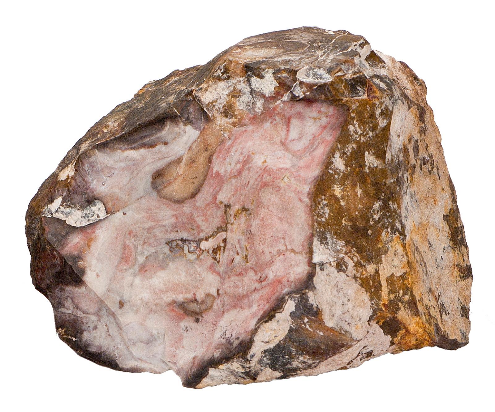
Lincoln sits at the heart of the mozarkite country in Benton County, the source of Missouri's official state rock, a multicolored gem chert that weathers out of the Mississippian Burlington and Warsaw limestones.
Chalcedony, Chert, Mozarkite, Galena
 Top pick
Warsaw
Public accessBenton County
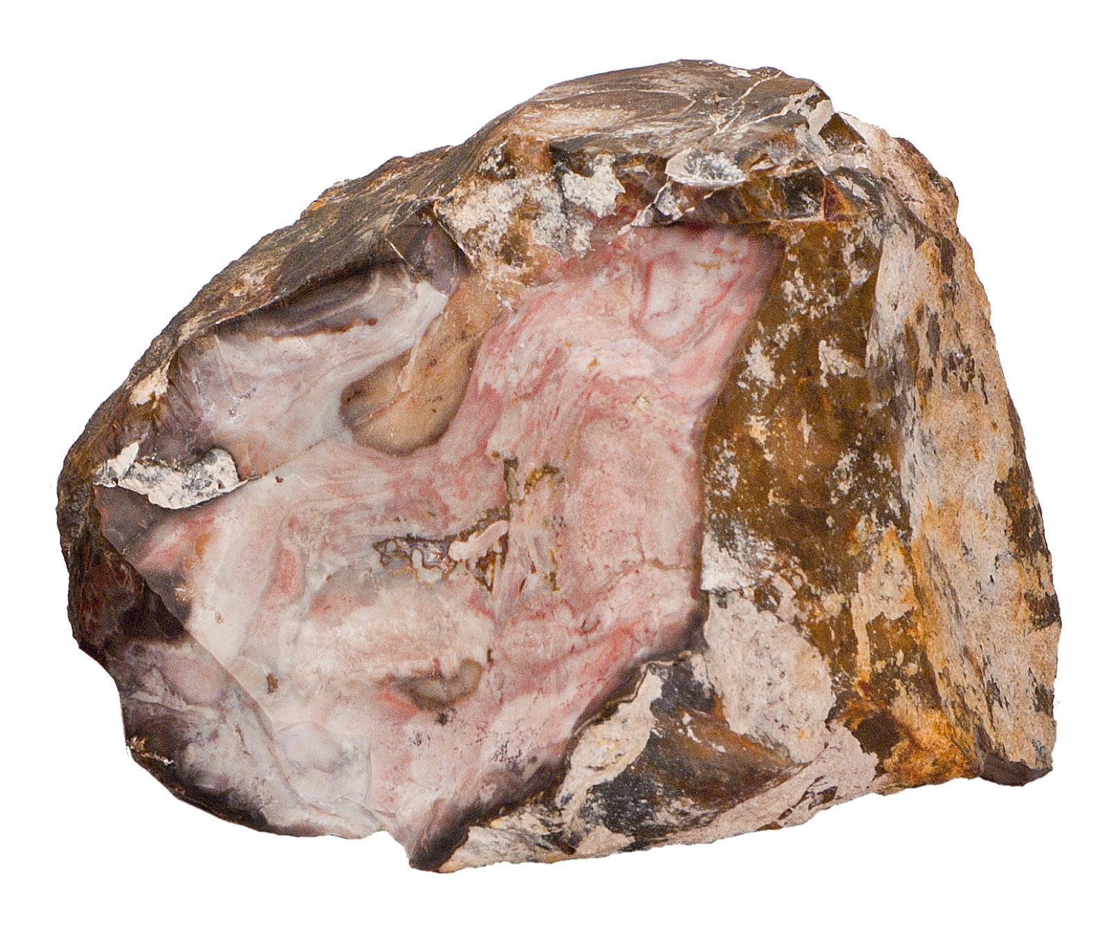
Warsaw anchors the southern end of the Benton County mozarkite belt and sits on the Harry S. Truman Reservoir, where falling lake levels expose chert and mozarkite cobbles along the shoreline.
Agate, Chert, Mozarkite
Neighboring counties in Missouri
Adjacent rockhounding counties, ranked by how close their centroids sit to Benton County. A natural extension if Benton County is already on your trip plan.
- Boone County~73 mi3 spotsTop: Gypsum, Marcasite, Pyrite
- Crawford County~115 mi7 spotsTop: Pyrite, Hematite, Malachite
- Daviess County~120 mi3 spotsTop: Fossil, Jasper, Petrified Wood
- McDonald County~124 mi1 spotTop: Blue Chert, Chert
- Grundy County~127 mi1 spotTop: Fossil, Jasper, Lake Superior Agate
- Washington County~140 mi4 spotsTop: Calcite, Galena, Goethite
Benton County FAQ
Where can I rockhound in Benton County, Missouri?+
What rocks and minerals are common in Benton County?+
Are these Benton County rockhounding spots on public land?+
Plan a Benton County rockhounding trip
Open RockHoundR to see these spots on the map alongside land overlays, weather, geology, and your saved finds.

