
Rockhounding near Cleveland, OH
52 mapped rockhounding spots within 150 miles of Cleveland, most inside a 2 to 3 hour drive, 37 of them on public land. Below: every place to go rock hunting, closest first, with what each one produces and its land access.
Covering parts of Ohio, Michigan, Pennsylvania, West Virginia.
Every rock collecting spot within 150 miles of Cleveland
 Perkins BeachCuyahoga County, Ohio · 2 mi awayPublic access
 Edgewater BeachCuyahoga County, Ohio · 3 mi awayCheck locally
- Euclid Beach ParkCuyahoga County, Ohio · 9 mi awayCheck locally
- Noble BeachCuyahoga County, Ohio · 12 mi awayCheck locally
- Sims BeachCuyahoga County, Ohio · 12 mi awayPublic access
- Headlands BeachLake County, Ohio · 27 mi awayPublic access · Slag, Crinoid, Fossil +1
- Lake Erie BluffsLake County, Ohio · 33 mi awayPublic access
- Main Street BeachErie County, Ohio · 35 mi awayCheck locally
- Arcola Creek ParkLake County, Ohio · 43 mi awayPublic access · Slag, Crinoid, Fossil +1
- Breakwater BeachAshtabula County, Ohio · 44 mi awayPublic access · Slag, Crinoid, Fossil +1
- SanduskyErie County, Ohio · 51 mi awayPublic access · Calcite, Celestite, Dolomite +5
- Walnut Beach ParkAshtabula County, Ohio · 53 mi awayCheck locally
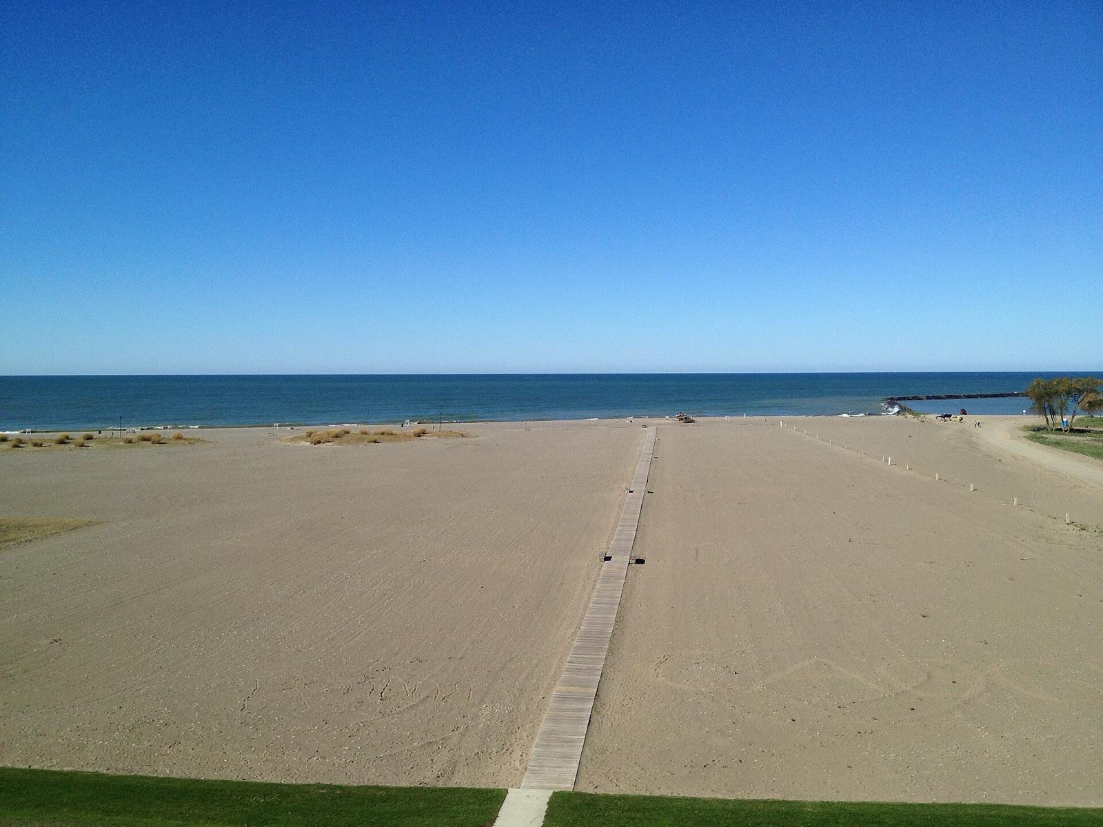 Best spotConneautAshtabula County, Ohio · 60 mi awayPublic access · Calcite
- Green IslandOttawa County, Ohio · 61 mi awayPublic access · Celestite
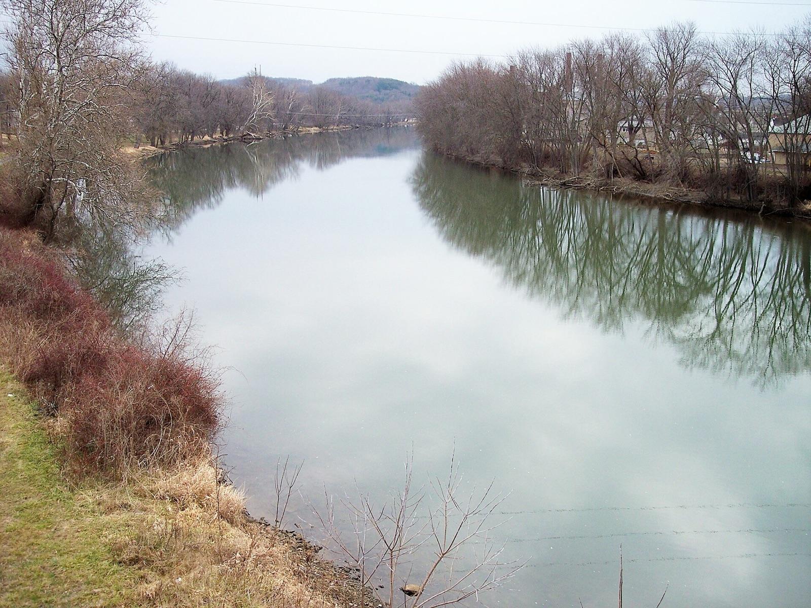 Best spotTuscarawas River near ZoarTuscarawas County, Ohio · 64 mi awayPublic access · Flint
- Holmes CountyHolmes County, Ohio · 66 mi awayPublic access · Flint
- Conneaut Township ParkAshtabula County, Ohio · 67 mi awayCheck locally
- Tuscarawas CountyTuscarawas County, Ohio · 67 mi awayPublic access · Pyrite
- Maple Grove QuarrySeneca County, Ohio · 81 mi awayPublic access · Calcite, Celestite, Dolomite +4
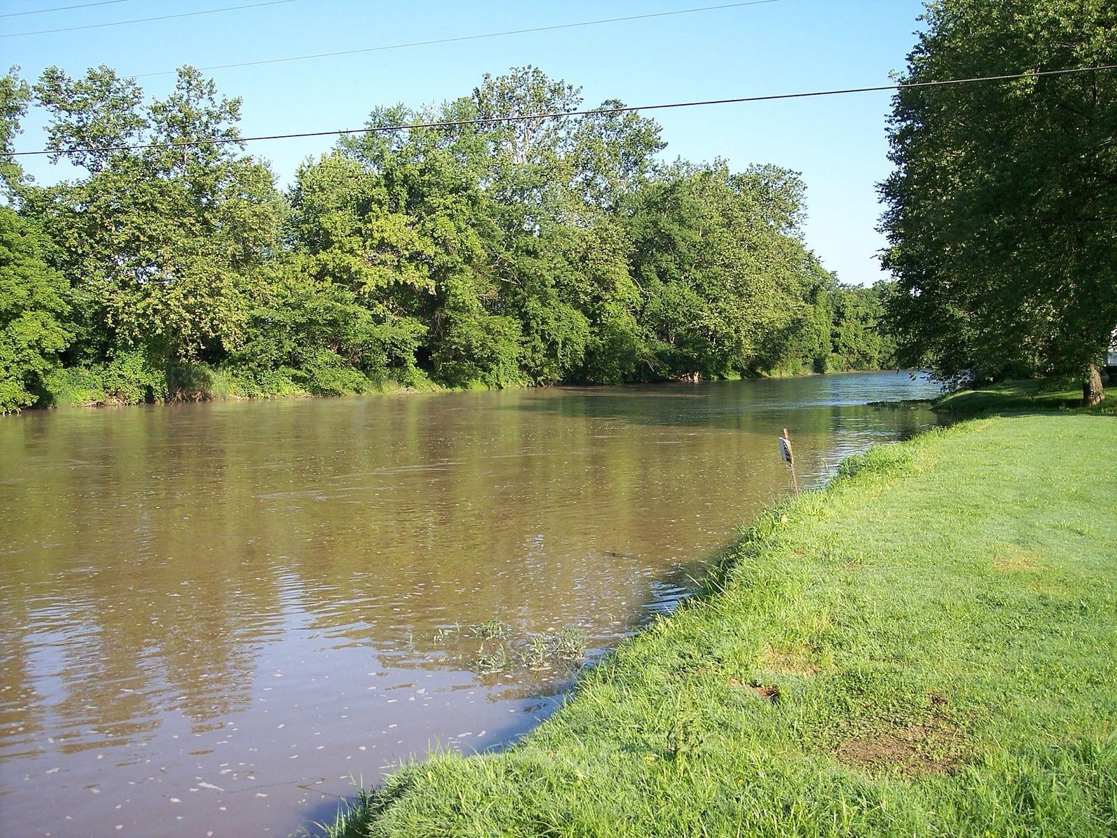 Best spotCoshocton CountyCoshocton County, Ohio · 85 mi awayPublic access · Dark Gray Flint, Black Flint
- GenoaOttawa County, Ohio · 86 mi awayPublic access · Calcite, Celestite, Dolomite +4
- Clay Center limestone quarryOttawa County, Ohio · 86 mi awayPublic access · Calcite, Celestite, Dolomite +3
- William C. Sterling State ParkMonroe County, Michigan · 90 mi awayFee dig
- Presque Isle State ParkErie County, Pennsylvania · 93 mi awayFee dig
- Lime CityWood County, Ohio · 97 mi awayPublic access · Celestite
- Bowling GreenWood County, Ohio · 102 mi awayPublic access · Barite, Calcite, Celestite +2
- Licking & Muskingum CountiesLicking County, Ohio · 106 mi awayPublic access · Flint, Chalcedony, Quartz
- Nether's Flint FarmMuskingum County, Ohio · 107 mi awayFee dig · Flint
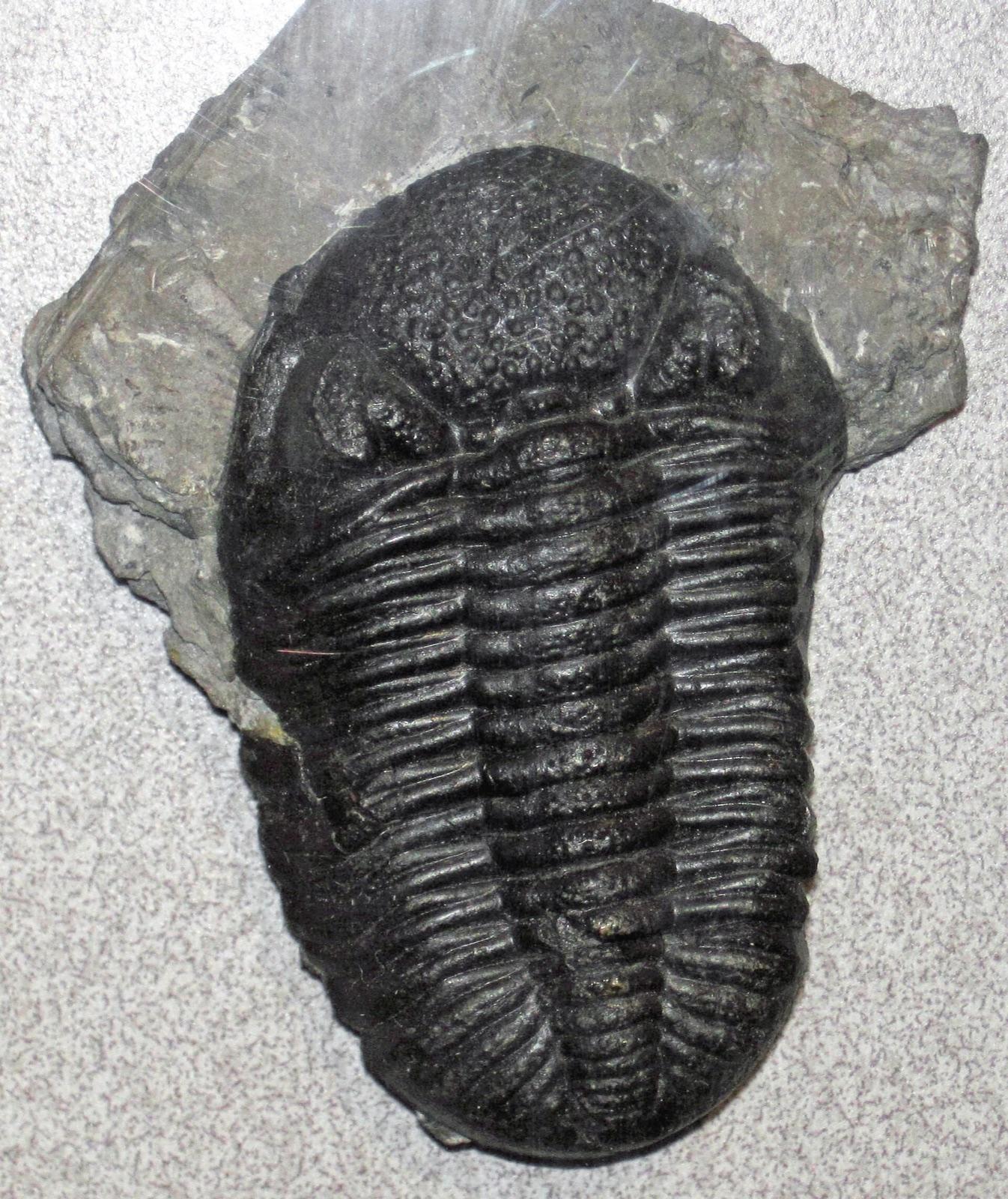 Best spotMedusa Quarry in SylvaniaLucas County, Ohio · 107 mi awayPublic access · Fossil
- Muskingum CountyMuskingum County, Ohio · 107 mi awayPublic access · Agate, Amethyst, Carnelian +7
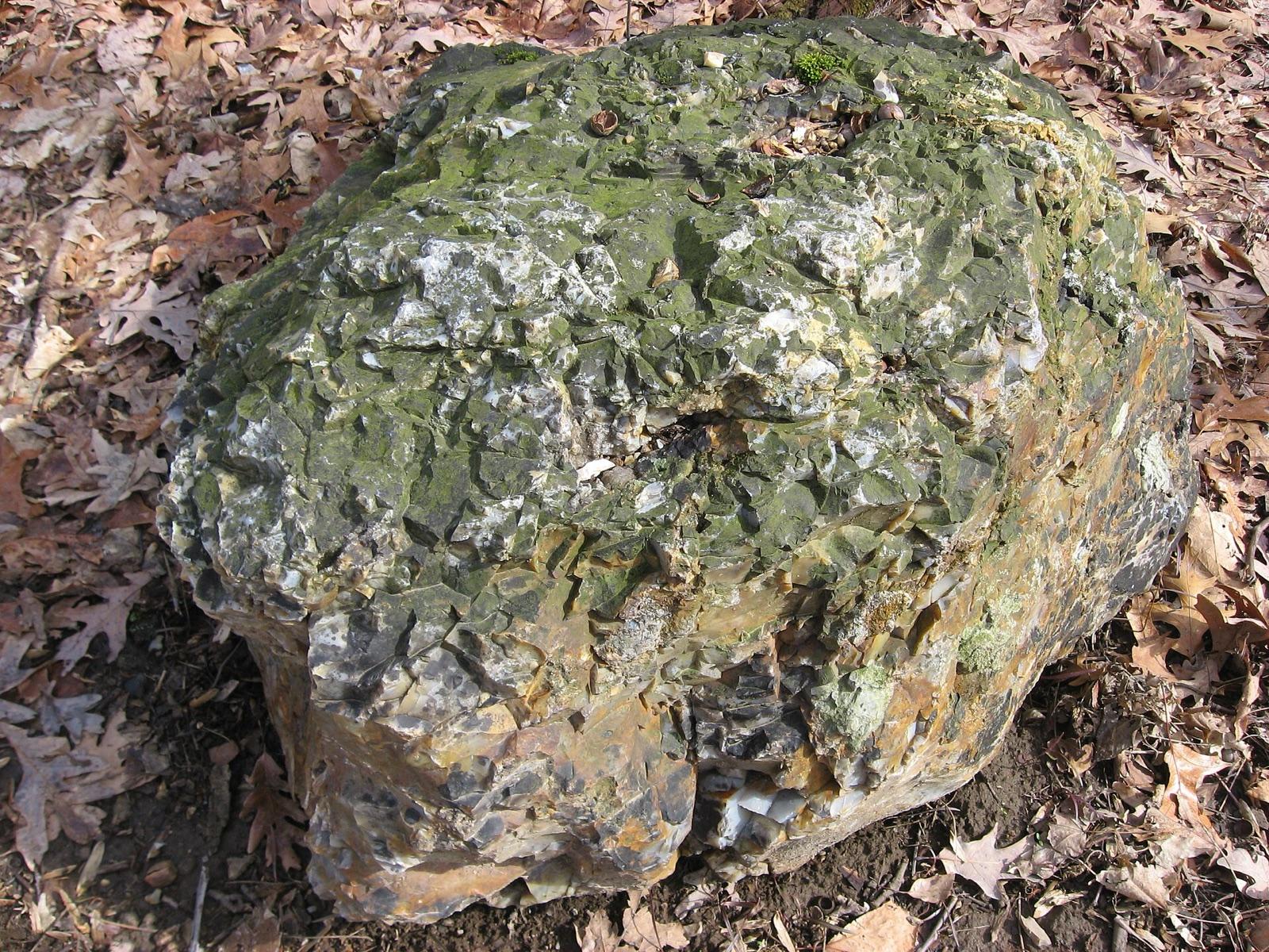 Best spotFlint RidgeLicking County, Ohio · 108 mi awayPublic access · Agate, Amethyst, Carnelian +7
- WhitehouseLucas County, Ohio · 109 mi awayPublic access · Celestite, Gypsum
- Lighthouse BeachSaint Clair County, Michigan · 111 mi awayPublic access
- North East Conservation ParkErie County, Pennsylvania · 112 mi awayCheck locally
- Lakeside ParkSaint Clair County, Michigan · 112 mi awayPublic access · Petoskey Stone, Unakite, Puddingstone +1
- Delaware CountyDelaware County, Ohio · 112 mi awayPublic access · Pyrite
- EtnaAllegheny County, Pennsylvania · 112 mi awayPublic access · Barite, Calcite, Pyrite +2
- Keewahdhin BeachSaint Clair County, Michigan · 113 mi awayCheck locally
- Fort Gratiot County ParkSaint Clair County, Michigan · 116 mi awayCheck locally
- Lakeport State Park CampgroundSaint Clair County, Michigan · 120 mi awayFee dig
- Burtchville Twp. ParkSaint Clair County, Michigan · 121 mi awayCheck locally
- Perry CountyPerry County, Ohio · 124 mi awayPublic access · Flint Nodule
- South BethlehemArmstrong County, Pennsylvania · 127 mi awayPublic access · Jasper, Petrified Wood
- North VandergriftArmstrong County, Pennsylvania · 128 mi awayPublic access · Galena, Calcite, Barite +2
- ColumbusFranklin County, Ohio · 130 mi awayPublic access · Pyrite
- Sanilac County Lexington ParkSanilac County, Michigan · 133 mi awayPublic access
- GirtyArmstrong County, Pennsylvania · 133 mi awayPublic access · Hematite, Magnetite, Calcite +2
- New MartinsvilleWetzel County, West Virginia · 137 mi awayPublic access · Muscovite
- Lake Huron Roadside ParkSanilac County, Michigan · 138 mi awayPublic access · Puddingstone, Gowganda Tillite, Stinkstone +5
- GreensburgWestmoreland County, Pennsylvania · 141 mi awayPublic access · Petrified Wood
- Mt. PleasantWestmoreland County, Pennsylvania · 145 mi awayPermission required · Amethyst
- DerryWestmoreland County, Pennsylvania · 150 mi awayPublic access · Quartz, Chalcedony, Jasper
Most-reported finds near Cleveland
Counts reflect how many spots in this radius mention each material.
Hunting something specific near Cleveland?
These materials have enough dedicated spots around Cleveland to earn their own page, with distances and a separate map.
Cleveland rockhounding FAQ
Where can I go rockhounding near Cleveland?+
There are 52 mapped rockhounding spots within about 150 miles of Cleveland, Ohio. The closest is Perkins Beach in Cuyahoga County, roughly 2 miles away. Every one is listed on this page, closest first.
What rocks and minerals can you find near Cleveland?+
Spots within driving distance of Cleveland most commonly produce pyrite, calcite, celestite, fossil, flint, fluorite.
Is rockhounding legal near Cleveland?+
Casual hand collecting of common rocks and minerals is allowed on most BLM and U.S. Forest Service land, with limits set by the local field office. National parks, most state parks, and tribal land are off-limits. Each spot page on this site lists access status; always confirm current rules with the managing agency before a trip.
Are there free places to rockhound near Cleveland?+
37 of the 52 spots here are mapped as public access, with no dig fee. Some sit in parks or forests that charge for parking or day use, so check with the land manager first. 1 is a fee dig, where you pay and keep what you find.
Where can I go gem hunting or crystal digging near Cleveland?+
6 of the mapped spots near Cleveland report quartz or amethyst. The closest is Licking & Muskingum Counties, about 106 miles out. For pay-to-dig, the nearest fee dig is Nether's Flint Farm, about 107 miles away.
How far do most rockhounders drive from Cleveland?+
Most weekend trips from Cleveland fall inside a 2 to 3 hour drive, which is roughly the 150-mile radius shown on this page. Closer spots are good for half-day outings; the outer ones are better as overnight trips.
More state coverage
The spots above span 4 states. Open the state page for the full county-by-county view.
Pack Cleveland's rockhounding map in your pocket
Open RockHoundR for live land overlays, weather, geology, directions, and saved finds, wherever the drive takes you.

