
Harding Pegmatite Mine: Blue Apatite & Bityite Rockhounding in Taos County, New Mexico
- Minerals reported
- 8
- Elevation
- 7,410 ft
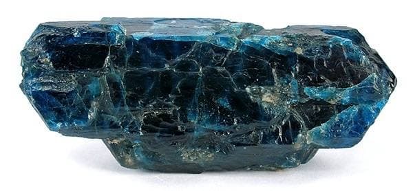
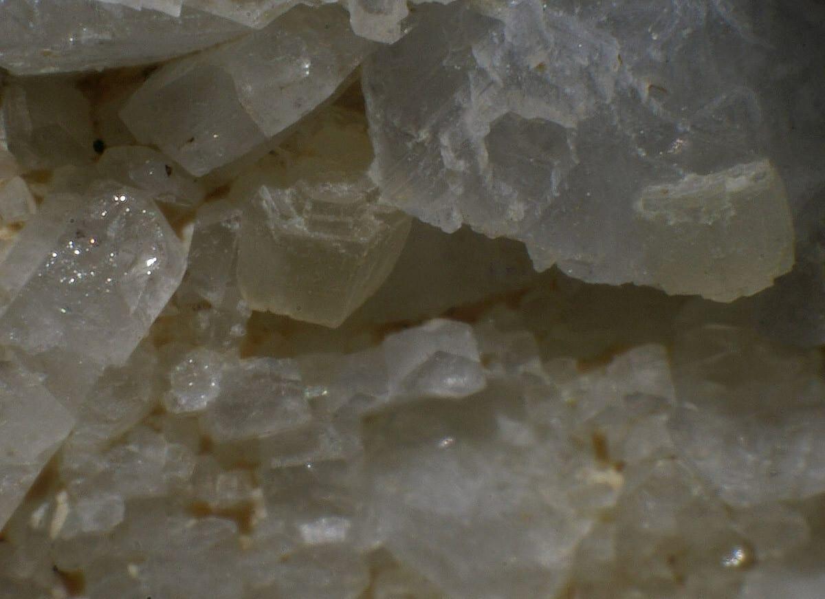
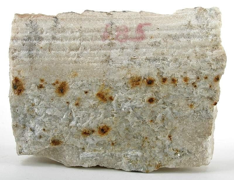
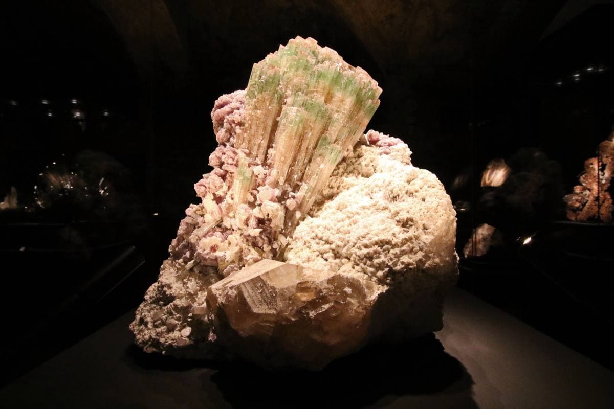
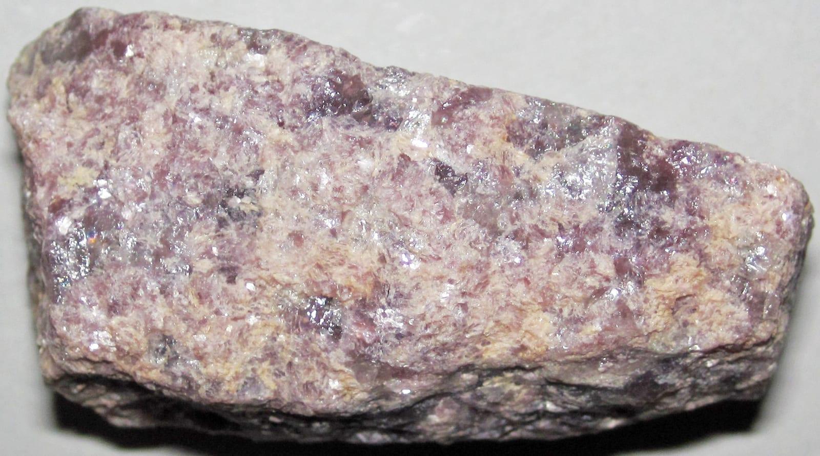
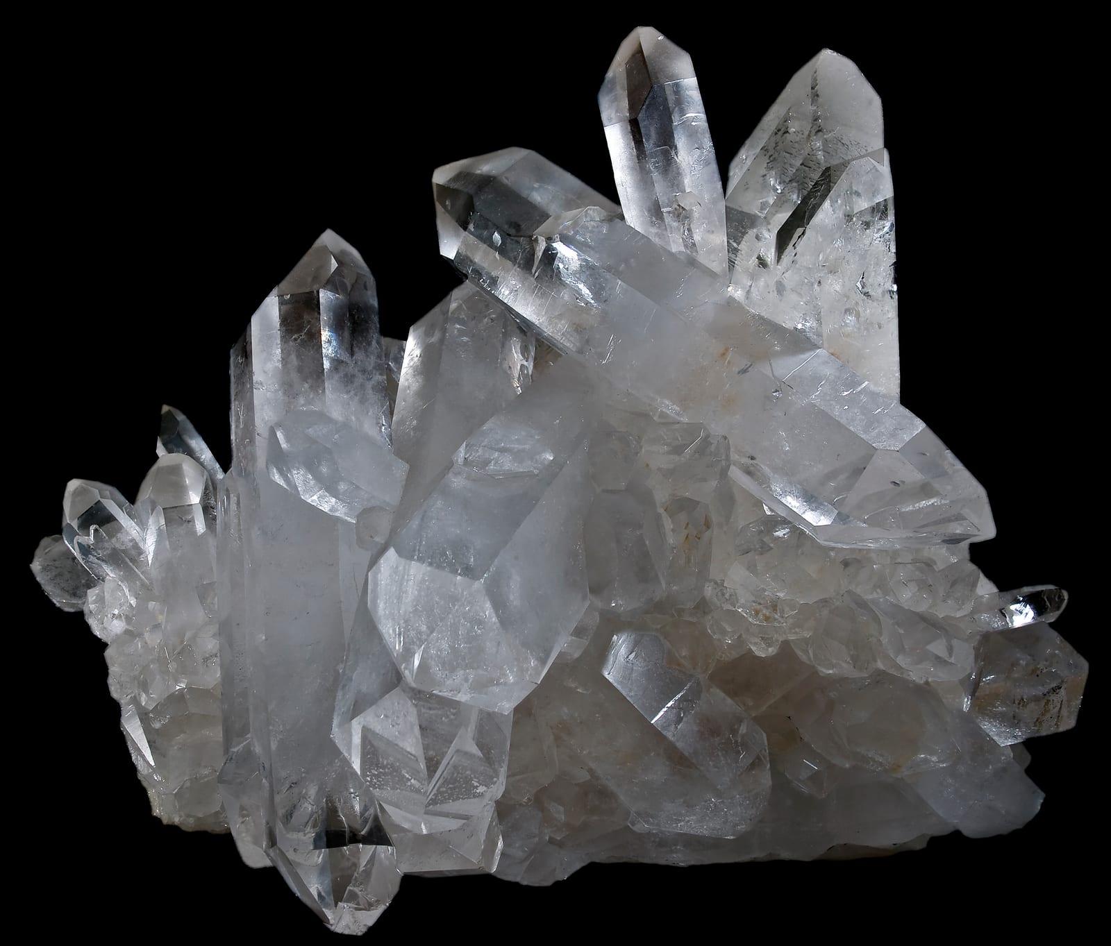
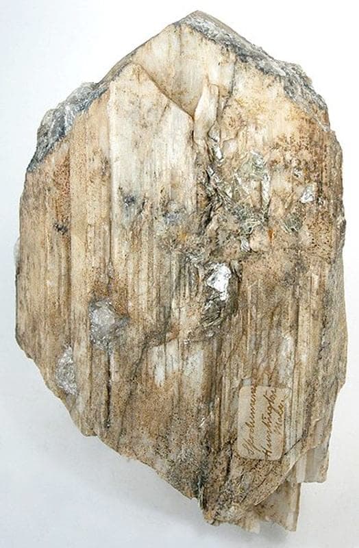
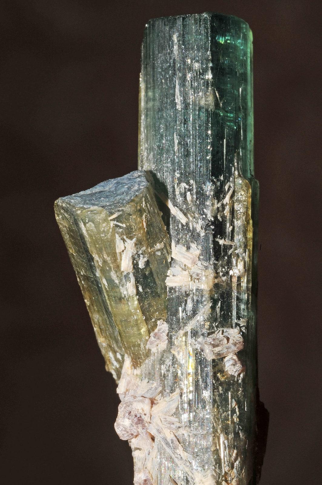
Harding Pegmatite Mine is a preserved lithium-beryllium-tantalum pegmatite where UNM still allows small personal collecting under posted rules. New Mexico Geological Society and USGS-derived records document lepidolite, spodumene, beryl, microlite, apatite, muscovite, quartz, and related rare-element pegmatite minerals, making it the state's clearest public window into a classic complex pegmatite. Reported finds include blue apatite, bityite, eucryptite, purple lepidolite, rose muscovite, and more. Below: coordinates, access notes, nearby spots, and trip-planning links.
Plan your visit
Generally open to casual rockhounding
- County
- Taos County
- State
- New Mexico
- Coordinates
- 36.19326, -105.79499
Coordinates are approximate. Confirm the exact ground in the RockHoundR app, where land overlays show which agency manages the area.
Land & collecting status
Generally open to casual rockhounding
Most public-tagged spots sit on BLM, U.S. Forest Service, or other federal land where reasonable hand collecting of common rocks and minerals is allowed. Confirm posted rules and active mining claims before you dig.
Access note: University of New Mexico outdoor geology laboratory. Small personal collecting is allowed under the current UNM visitor rules.
Public-land rules vary by agency, season, and field office. The RockHoundR app pulls live BLM, USFS, NPS, and tribal overlays so you can see exactly which agency manages the ground at this spot.
Geology at Harding Pegmatite Mine
This spot sits on metasedimentary rocks, mapped as pelitic schist, muscovite schist, and quartzite that formed roughly 2500 to 1600 million years ago. Metamorphic terrain like this typically carries quartz veins and sweats, and weathered crystals tend to end up in the soils and streams below.
- Mapped unit
- metasedimentary rocks
- Age
- 2500–1600 Ma (Paleoproterozoic)
- Rock types
- pelitic schist, muscovite schist, and quartzite
- Elevation
- 7,410 ft
Geologic mapping via Macrostrat and the underlying state geological survey maps (CC BY 4.0). Bedrock at the surface can vary within a mapped unit.
Today's weather
Is today a good day to go?
The app shows live weather, recent rain, and a daily rockhounding score for Harding Pegmatite Mine.
Get the appSources & verification
Spot details combine the public RockHoundR location dataset, normalized mineral labels, agency land-status checks in the app, and community submissions. Coordinates are approximate until verified in the field.
State guidance last verified:
- Rockhound State Park, Collection rules
- BLM New Mexico
- New Mexico Bureau of Geology and Mineral Resources
- Community submissions reviewed against published agency rules
Found at Harding Pegmatite Mine
Each name opens all spots that produce that material; the encyclopedia link opens the full ID and field guide.
Nearby rockhounding spots
Other rockhounding spots within driving distance of Harding Pegmatite Mine.
- Harding Pegmatite outcropsTaos County, New Mexico · 0 mi awayApatite, Bityite, Eucryptite
- Pilar (garnet)Taos County, New Mexico · 4 mi awayGarnet, Staurolite
- Pilar (thulite)Taos County, New Mexico · 5 mi awayThulite
- PicurisTaos County, New Mexico · 5 mi awayStaurolite
- La Madera (dumortierite area)Rio Arriba County, New Mexico · 19 mi awayDumortierite, Specularite, Chert
- La MaderaRio Arriba County, New Mexico · 19 mi awayCalcite, Limonite, Geode
- La Madera MineRio Arriba County, New Mexico · 19 mi awayMica
- Small Fry ProspectRio Arriba County, New Mexico · 22 mi awayFluorite
Harding Pegmatite Mine FAQ
Where is Harding Pegmatite Mine?+
What rocks and minerals can you find at Harding Pegmatite Mine?+
Is collecting allowed at Harding Pegmatite Mine?+
What tools should I bring to Harding Pegmatite Mine?+
How do I get to Harding Pegmatite Mine?+
More rockhounding in New Mexico
See all 143 New Mexico spots →
Open Harding Pegmatite Mine on the map
Use the RockHoundR app for live land overlays, weather, geology, directions, and saved finds.


