
Rockhounding in Licking County, Ohio
2 mapped rockhounding spots in Licking County. Most commonly produces chalcedony, flint, quartz, agate.
Every rockhounding spot in Licking County

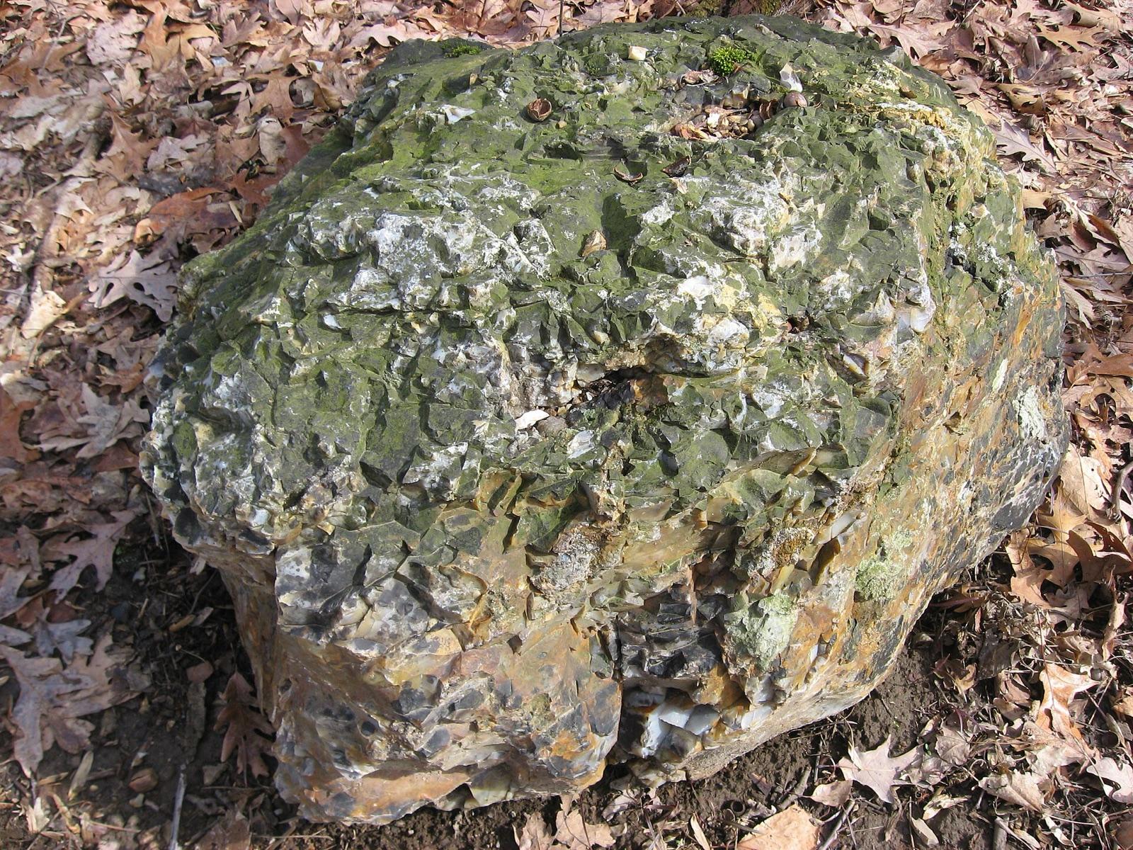
Licking County rockhounding photos
Representative spot and material photos from this county, shown where verified public image records are available.
Minerals reported in Licking County
Standout in Licking County
Hand-picked spot in Licking County, chosen for unusual mineralogy or documented public access. Each card opens the full coordinates and access notes.
Neighboring counties in Ohio
Adjacent rockhounding counties, ranked by how close their centroids sit to Licking County. A natural extension if Licking County is already on your trip plan.
Licking County FAQ
Where can I rockhound in Licking County, Ohio?+
RockHoundR tracks 2 rockhounding spots in Licking County. Each entry below has coordinates, mineral notes, and access type. Always confirm local rules before collecting.
What rocks and minerals are common in Licking County?+
Spots in Licking County most often produce Chalcedony, Flint, Quartz, Agate, Amethyst. Individual spots can vary widely.
Are these Licking County rockhounding spots on public land?+
Most spots in this list are tagged public, but access can change with seasons, claims, and local closures. Always verify before driving out, links in the app open the right BLM, USFS, or county pages.
Plan a Licking County rockhounding trip
Open RockHoundR to see these spots on the map alongside land overlays, weather, geology, and your saved finds.

