
Rockhounding in Crook County, Oregon
19 mapped rockhounding spots in Crook County. Most commonly produces thunderegg, petrified wood, jasper, moss agate.
Every rockhounding spot in Crook County
 Best spotWhite Fir SpringCrook County, OregonPublic access · Thunderegg, Jasper
- Best spotMaury MountainsCrook County, OregonPublic access · Moss Agate
- Best spotWhistler SpringCrook County, OregonPublic access · Thunderegg
 Fischer CanyonCrook County, OregonCheck locally · Petrified Wood, Agate, Jasper +1
 White RockCrook County, OregonPublic access · Thunderegg, Agate, Chalcedony +1
- Bear CreekCrook County, OregonPublic access · Moss Agate, Chalcedony, Drusy Quartz
- Carey Agate BedsCrook County, OregonPublic access · Agate, Chalcedony, Jasper
- Congleton HollowCrook County, OregonCheck locally · Petrified Wood, Limb Cast, Opalized Wood
- Dendrite ButteCrook County, OregonCheck locally · Limb Cast, Opalized Wood, Petrified Wood
- Eagle RockCrook County, OregonCheck locally · Plume Agate, Moss Agate, Jasper
- Bear CreekCrook County, OregonCheck locally · Petrified Wood
- Bear Creek - Site 1Crook County, OregonCheck locally · Petrified Wood
- Desolation CanyonCrook County, OregonPermission required · Thunderegg
- Forked Horn ButteCrook County, OregonPermission required · Thunderegg
- Harvey CreekCrook County, OregonPublic access · Thunderegg
- Lucky Strike MineCrook County, OregonFee dig · Thunderegg
- S Fork Crooked RiverCrook County, OregonPublic access · Agatized Limb Cast
- Sheep creekCrook County, OregonPublic access · Moss Agate
- Shores of Ochoco ReservoirCrook County, OregonPublic access · Ochoco Jasper
Crook County rockhounding photos
Representative spot and material photos from this county, shown where verified public image records are available.
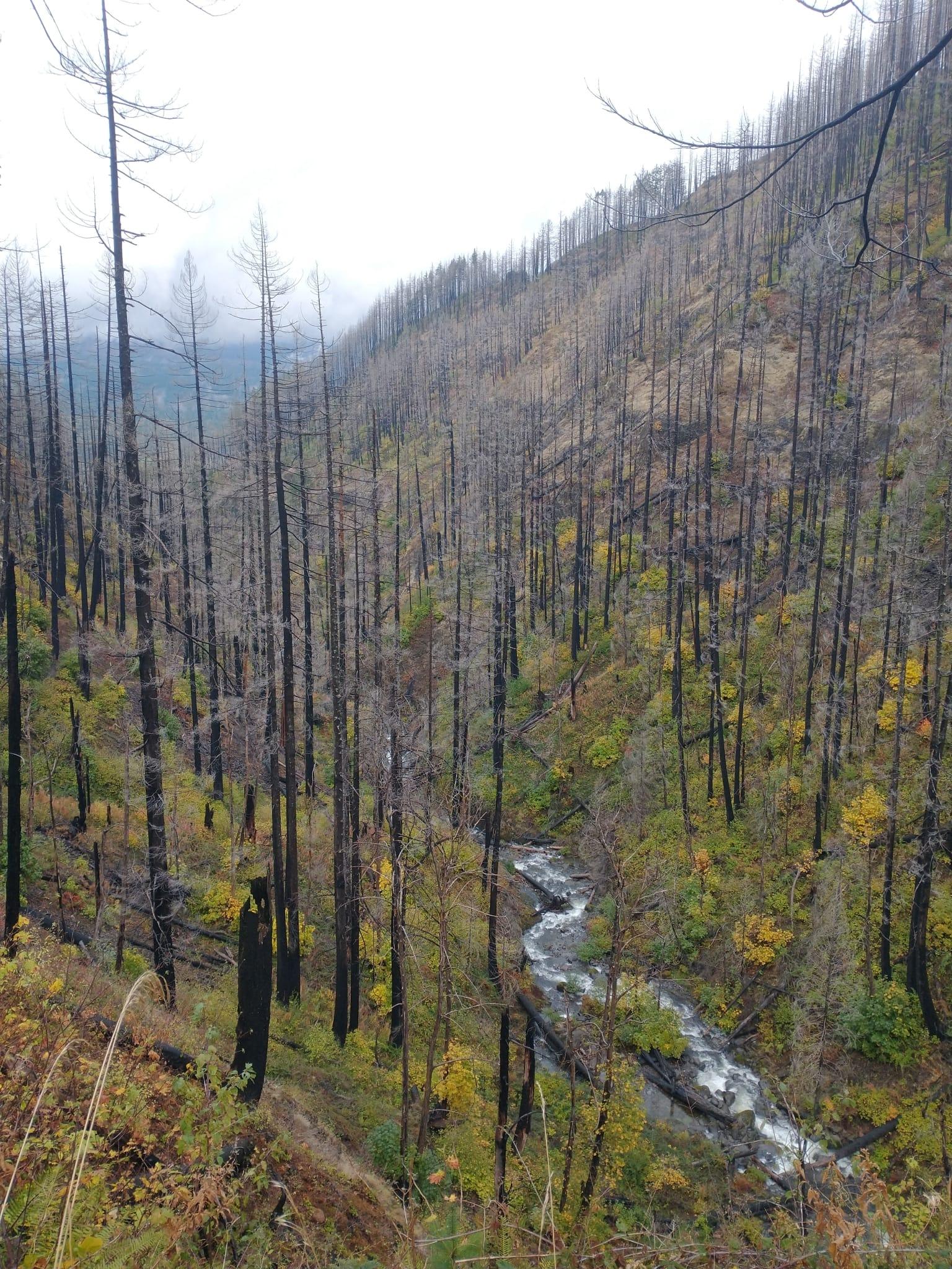
Minerals reported in Crook County
Standouts in Crook County
Hand-picked spots in Crook County, chosen for unusual mineralogy or documented public access. Each card opens the full coordinates and access notes.
 Top pick
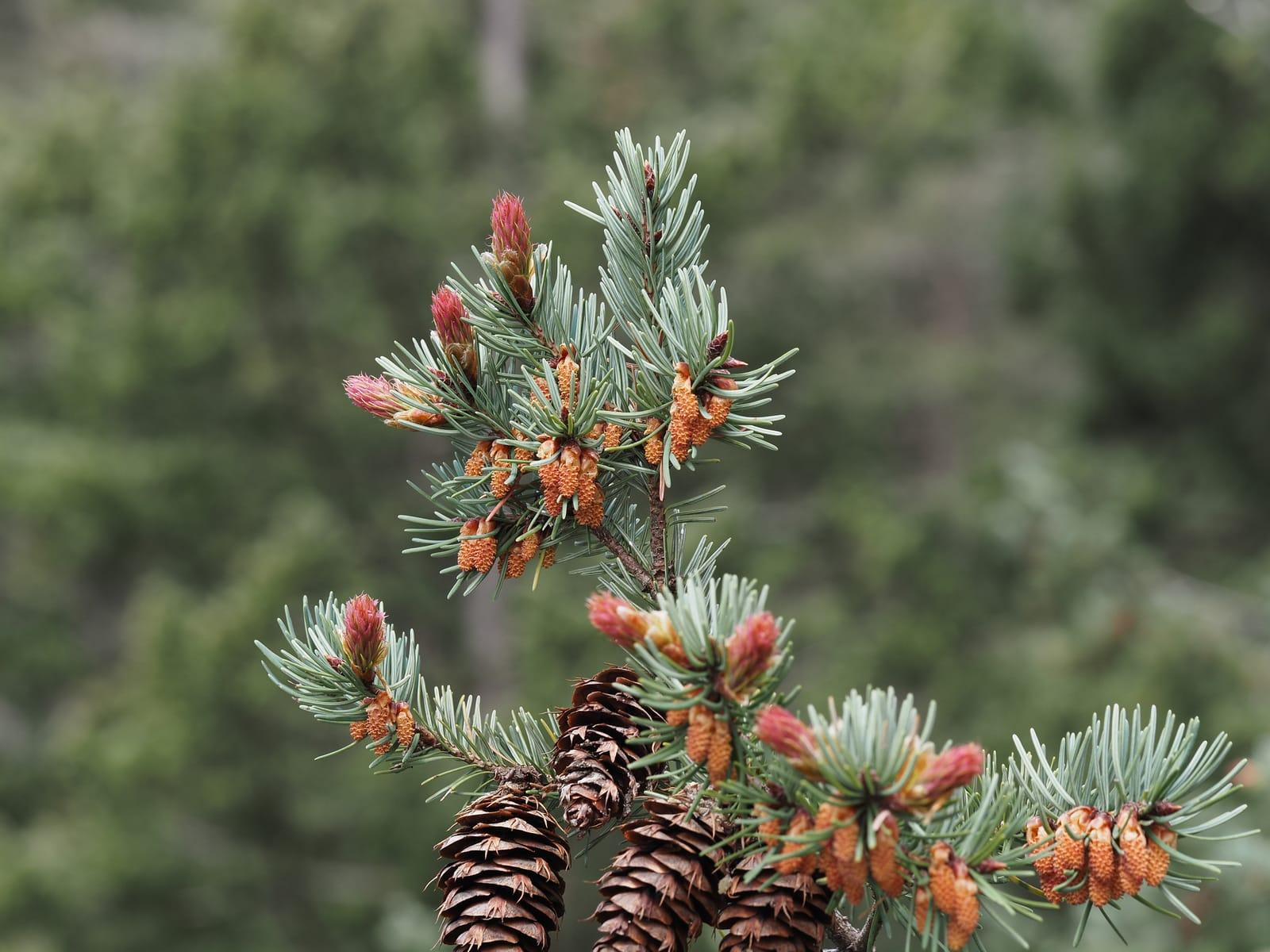
White Fir Spring
Public accessCrook County
White Fir Spring is a public Ochoco National Forest thunderegg locality, with DOGAMI and Mindat records tying the site to agate- and jasper-filled nodules.
Thunderegg, Jasper
 Top pick
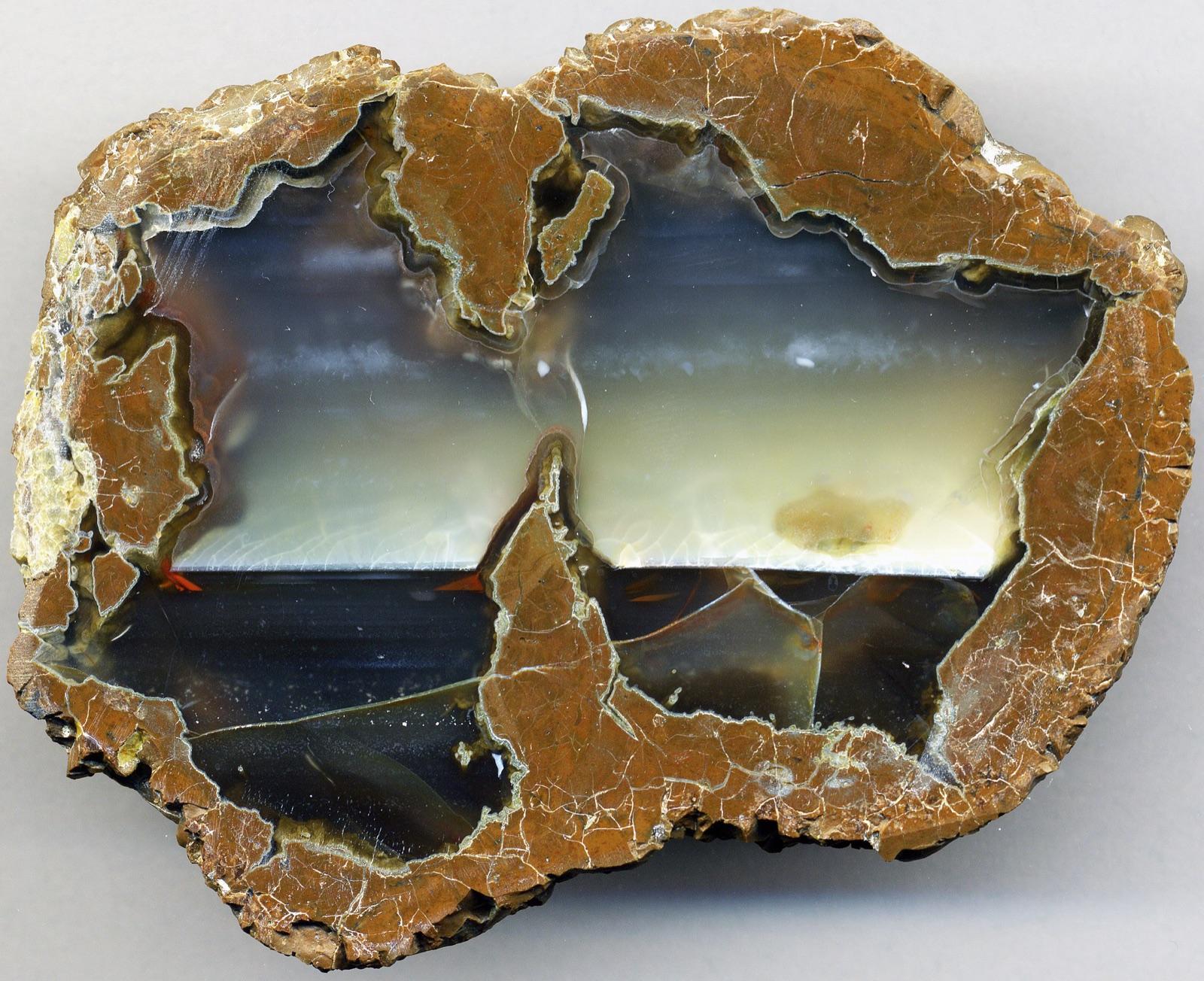
Whistler Spring
Public accessCrook County
Whistler Spring is one of central Oregon's classic free National Forest thunderegg sites, listed by DOGAMI alongside White Fir in the Madras-Prineville rockhounding belt.
Thunderegg
 Top pick
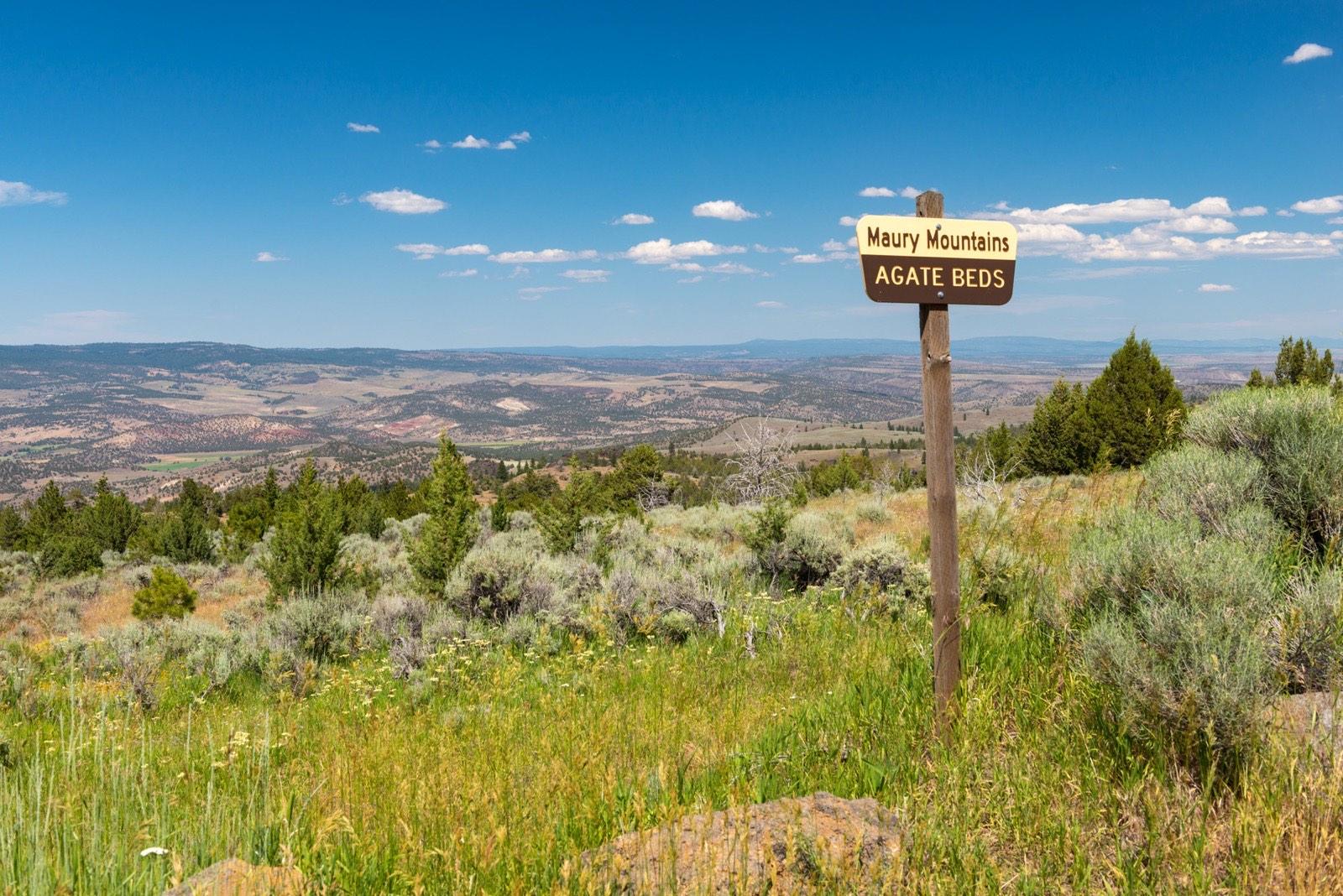
Maury Mountains
Public accessCrook County
The Maury Mountains in the Ochoco National Forest hold a long-worked moss agate locality, signed by the Forest Service and open to casual collecting without a permit.
Moss Agate
Neighboring counties in Oregon
Adjacent rockhounding counties, ranked by how close their centroids sit to Crook County. A natural extension if Crook County is already on your trip plan.
- Deschutes County~28 mi1 spotTop: Agate, Jasper, Limb Cast
- Jefferson County~41 mi5 spotsTop: Thunderegg, Agate, Chalcedony
- Wasco County~74 mi5 spotsTop: Jasper, Agate, Chalcedony
- Morrow County~80 mi2 spotsTop: Hyalite Opal, Nodules Filled With Opal
- Harney County~103 mi12 spotsTop: Agate, Jasper, Petrified Wood
- Linn County~104 mi6 spotsTop: Agate, Jasper, Gold
Crook County FAQ
Where can I rockhound in Crook County, Oregon?+
What rocks and minerals are common in Crook County?+
Are these Crook County rockhounding spots on public land?+
Plan a Crook County rockhounding trip
Open RockHoundR to see these spots on the map alongside land overlays, weather, geology, and your saved finds.

