
Opal Butte: Hyalite Opal Rockhounding in Morrow County, Oregon
- Mineral reported
- 1
- Elevation
- 5,020 ft
- Best months
- March to October
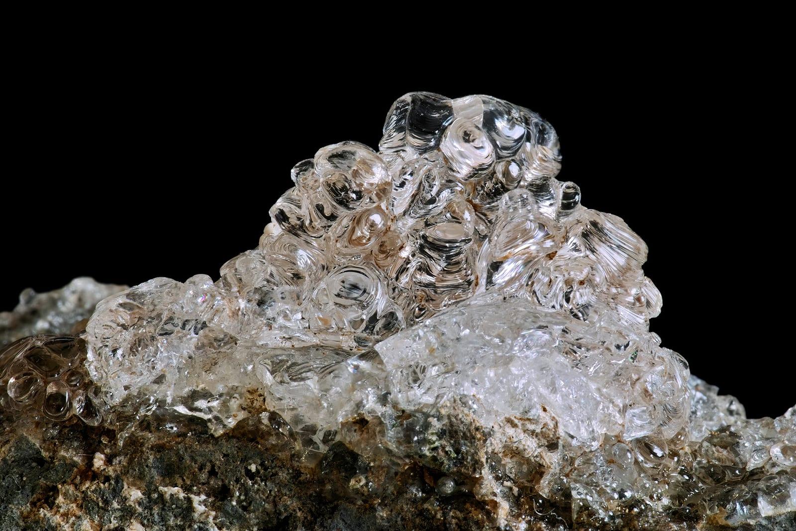
Opal Butte is noted for hyalite and several gem opal varieties, including rainbow, contra luz, hydrophane, crystal, fire, and blue opal. That range, documented in gemological literature and Mindat locality records, makes the permission-required Morrow County site one of Oregon's more distinctive opal occurrences. Reported finds include hyalite opal. Below: coordinates, access notes, nearby spots, and trip-planning links.
Plan your visit
Permission required before collecting
- County
- Morrow County
- State
- Oregon
- Coordinates
- 45.04372, -119.61342
Coordinates are approximate. Confirm the exact ground in the RockHoundR app, where land overlays show which agency manages the area.
Land & collecting status
Permission required before collecting
Requires landowner or agency permission before any collecting. Do not enter without explicit authorization.
Public-land rules vary by agency, season, and field office. The RockHoundR app pulls live BLM, USFS, NPS, and tribal overlays so you can see exactly which agency manages the ground at this spot.
Best time to visit Opal Butte
Comfortable months (45 to 90°F highs)
Best months: March to October. Typical highs run 83°F in midsummer and 33°F in midwinter, with winter lows near 12°F.
Climate normals: NOAA 1991-2020 monthlies, MONUMENT 2 station (18 mi away), adjusted for elevation.
Geology at Opal Butte
This spot sits on John Day/Clarno Group, mapped as tuff, white, grayish yellow, very pale orange, pinkish gray, ash-flow tuff, tuffaceous sediment, and lapilli tuff that formed roughly 56 to 23 million years ago. Volcanic ground like this is where agate, jasper, and other chalcedony typically form, filling old gas pockets and fracture seams in the flow rock.
- Mapped unit
- John Day/Clarno Group
- Age
- 56–23 Ma (Eocene to Oligocene)
- Rock types
- tuff, white, grayish yellow, very pale orange, pinkish gray, ash-flow tuff, tuffaceous sediment, and lapilli tuff
- Elevation
- 5,020 ft
Geologic mapping via Macrostrat and the underlying state geological survey maps (CC BY 4.0). Bedrock at the surface can vary within a mapped unit.
Today's weather
Is today a good day to go?
The app shows live weather, recent rain, and a daily rockhounding score for Opal Butte.
Get the appSources & verification
Spot details combine the public RockHoundR location dataset, normalized mineral labels, agency land-status checks in the app, and community submissions. Coordinates are approximate until verified in the field.
State guidance last verified:
- BLM Oregon/Washington, Rockhounding & mineral material
- Oregon Department of Geology and Mineral Industries (DOGAMI)
- Oregon Parks and Recreation Department, beach collecting rules
- Community submissions reviewed against published agency rules
Found at Opal Butte
Each name opens all spots that produce that material; the encyclopedia link opens the full ID and field guide.
Nearby rockhounding spots
Other rockhounding spots within driving distance of Opal Butte.
- General AreaMorrow County, Oregon · 20 mi awayNodules Filled With Opal
- Wheeler High School Fossil BedsWheeler County, Oregon · 29 mi awayFossil
- John Day RiverGrant County, Oregon · 38 mi awayFossil, Petrified Wood
- John Day River & StreamsWasco County, Oregon · 43 mi awayFossilized Fern
- John Day River at Cottonwood Canyon State ParkGilliam County, Oregon · 49 mi awayAgate, Jasper, Petrified Wood
- AntelopeWasco County, Oregon · 56 mi awayAgate, Chalcedony, Geode
- Lucky Strike MineCrook County, Oregon · 57 mi awayThunderegg
- Whistler SpringCrook County, Oregon · 57 mi awayThunderegg
Across the state line from Opal Butte
Opal Butte is close enough to the Oregon border that the next-closest rockhounding spots are in a neighboring state. Worth knowing if you are already on the road.
- Horse Heaven HillsBenton County, Washington · 76 mi awayOpalized Wood
- MabtonYakima County, Washington · 79 mi awayPetrified Wood, Opalized Wood
Opal Butte FAQ
Where is Opal Butte?+
What rocks and minerals can you find at Opal Butte?+
Is collecting allowed at Opal Butte?+
What tools should I bring to Opal Butte?+
When is the best time to visit Opal Butte?+
How do I get to Opal Butte?+
More rockhounding in Oregon
See all 181 Oregon spots →
Open Opal Butte on the map
Use the RockHoundR app for live land overlays, weather, geology, directions, and saved finds.


