
Rockhounding in Tooele County, Utah
20 mapped rockhounding spots in Tooele County. Most commonly produces galena, pyrite, cerussite, malachite.
Every rockhounding spot in Tooele County
 Best spotGold HillTooele County, UtahPublic access · Azurite, Cerussite, Chalcopyrite +11
- Best spotGreat Salt LakeTooele County, UtahPublic access · Aragonite, Bloedite, Gypsum +3
 Dugway mining districtTooele County, UtahPublic access · Agate, Amethyst, Apatite +12
- Clifton mining districtTooele County, UtahPublic access · Agate, Azurite, Dolomite +11
- East Erickson mining districtTooele County, UtahPublic access · Galena, Pyrite, Quartz +8
- MercurTooele County, UtahPublic access · Cinnabar, Gold, Orpiment +5
- Silver Island MountainsTooele County, UtahPublic access · Azurite, Barite, Cerussite +4
- Dutch MountainTooele County, UtahPublic access · Augite, Azurite, Cerussite +3
- OphirTooele County, UtahPublic access · Galena, Gold, Pyrite +3
- SalduroTooele County, UtahPublic access · Carnallite, Halite, Kainite +3
- Ibapah MountainsTooele County, UtahPublic access · Aquamarine, Barite, Beryl +1
 Stansbury MountainsTooele County, UtahPermission required · Cerussite, Galena, Gold +1
- Johnson PassTooele County, UtahPublic access · Onyx, Calcite, Galena
- Lakeside MountainsTooele County, UtahPublic access · Anglesite, Cerussite, Galena
- Simpson SpringsTooele County, UtahPublic access · Geode, Nodule, Morganite
- Tintic Prince MineTooele County, UtahPublic access · Galena, Quartz, Pyrite
- Topliff HillTooele County, UtahPublic access · Cerussite, Malachite, Pyrite
- Dugway RangeTooele County, UtahPermission required · Amethyst, Quartz
- Great Salt FlatsTooele County, UtahPublic access · Halite, Sylvite
- Wonderstone QuarryTooele County, UtahPublic access · Wonderstone, Rhyolite
Tooele County rockhounding photos
Representative spot and material photos from this county, shown where verified public image records are available.
Minerals reported in Tooele County
Standouts in Tooele County
Hand-picked spots in Tooele County, chosen for unusual mineralogy or documented public access. Each card opens the full coordinates and access notes.
 Top pick
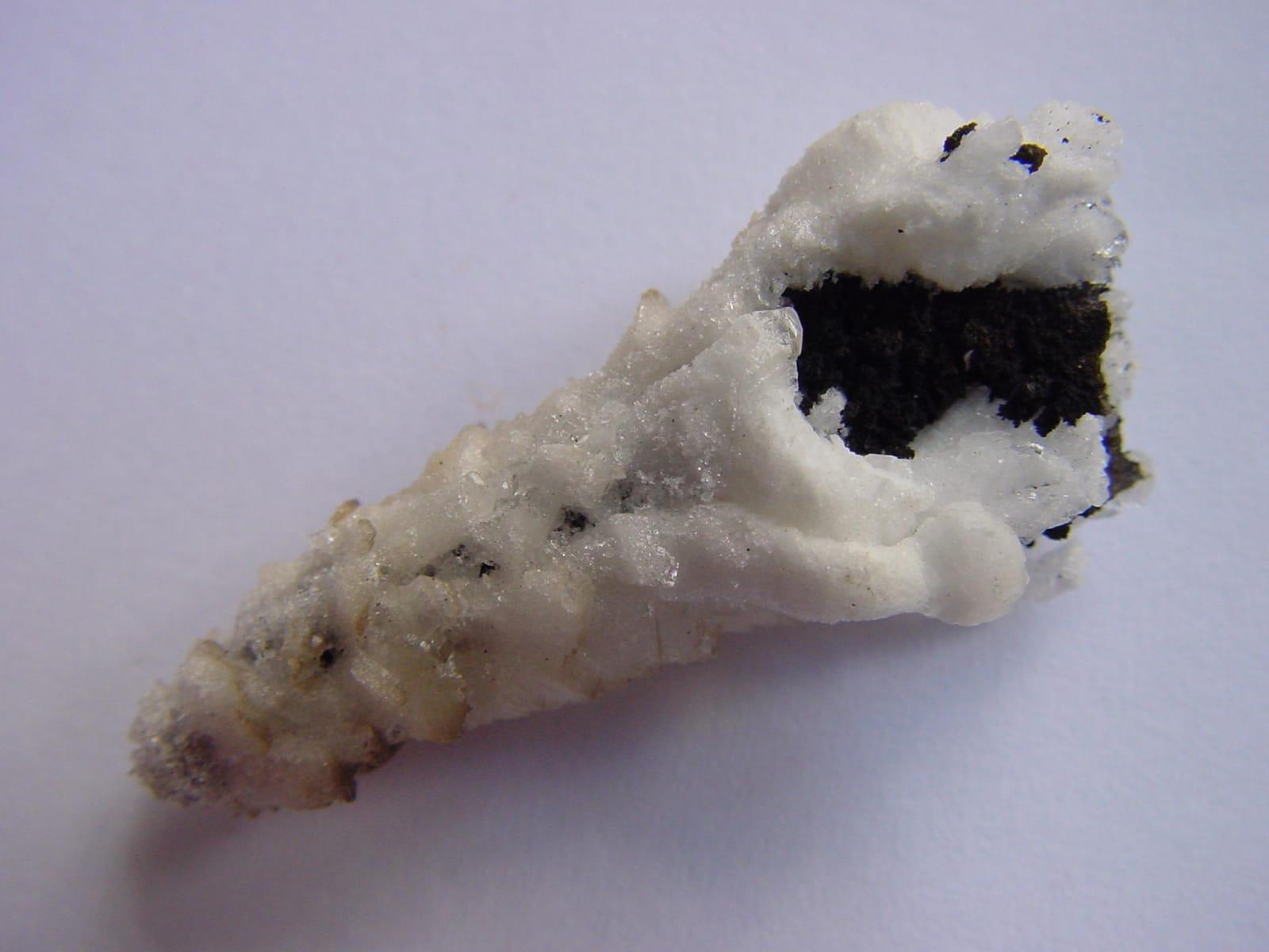
Gold Hill
Public accessTooele County
Gold Hill is one of Utah's most mineralogically varied old districts, with arsenic, gold, copper, lead, silver, tungsten, and zinc production tied to skarn, vein, and replacement deposits.
Azurite, Cerussite, Chalcopyrite, Chlorite
 Top pick
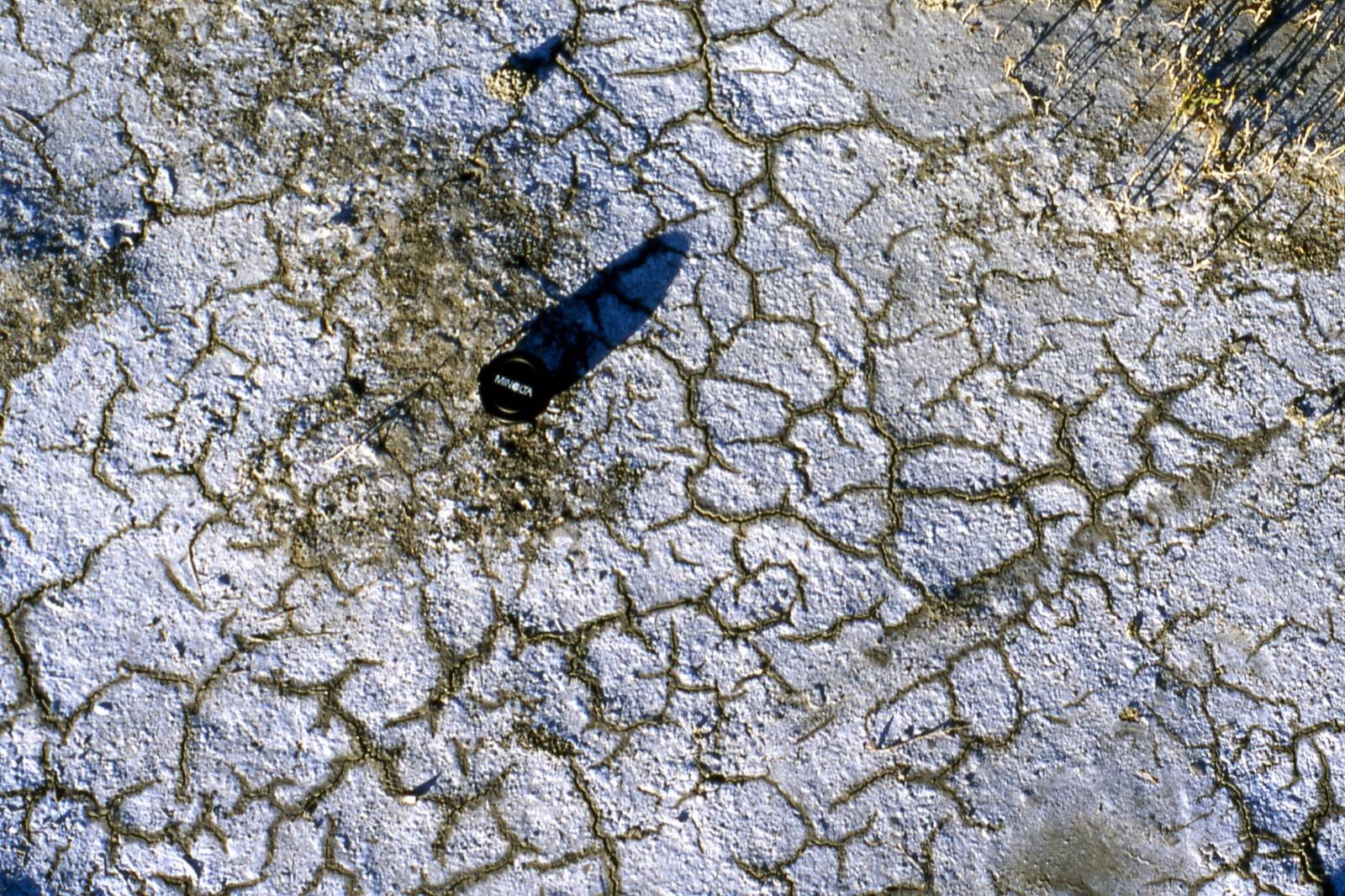
Great Salt Lake
Public accessTooele County
The Tooele side of Great Salt Lake offers an unusual sediment specimen rather than a hard-rock target: oolitic sand made of calcium-carbonate coats around tiny nuclei in shallow, wave-agitated brine.
Aragonite, Bloedite, Gypsum, Halite
Neighboring counties in Utah
Adjacent rockhounding counties, ranked by how close their centroids sit to Tooele County. A natural extension if Tooele County is already on your trip plan.
- Juab County~37 mi19 spotsTop: Fluorite, Beryl, Chalcedony
- Utah County~54 mi7 spotsTop: Calcite, Quartz, Sylvanite
- Salt Lake County~64 mi8 spotsTop: Barite, Galena, Magnetite
- Davis County~67 mi4 spotsTop: Azurite, Malachite, Aragonite
- Morgan County~82 mi3 spotsTop: Biotite, Copper, Gold
- Wasatch County~83 mi5 spotsTop: Albertite, Chabazite, Gold
Tooele County FAQ
Where can I rockhound in Tooele County, Utah?+
What rocks and minerals are common in Tooele County?+
Are these Tooele County rockhounding spots on public land?+
Plan a Tooele County rockhounding trip
Open RockHoundR to see these spots on the map alongside land overlays, weather, geology, and your saved finds.

