
Where to Find Columbite in Connecticut
Connecticut has 5 mapped collecting spots that report columbite, spread across 2 counties. The largest share sits in Lower Connecticut River Valley Planning Region with 4 spots. 4 of the spots are on land mapped as publicly accessible.
Every columbite spot we track in Connecticut
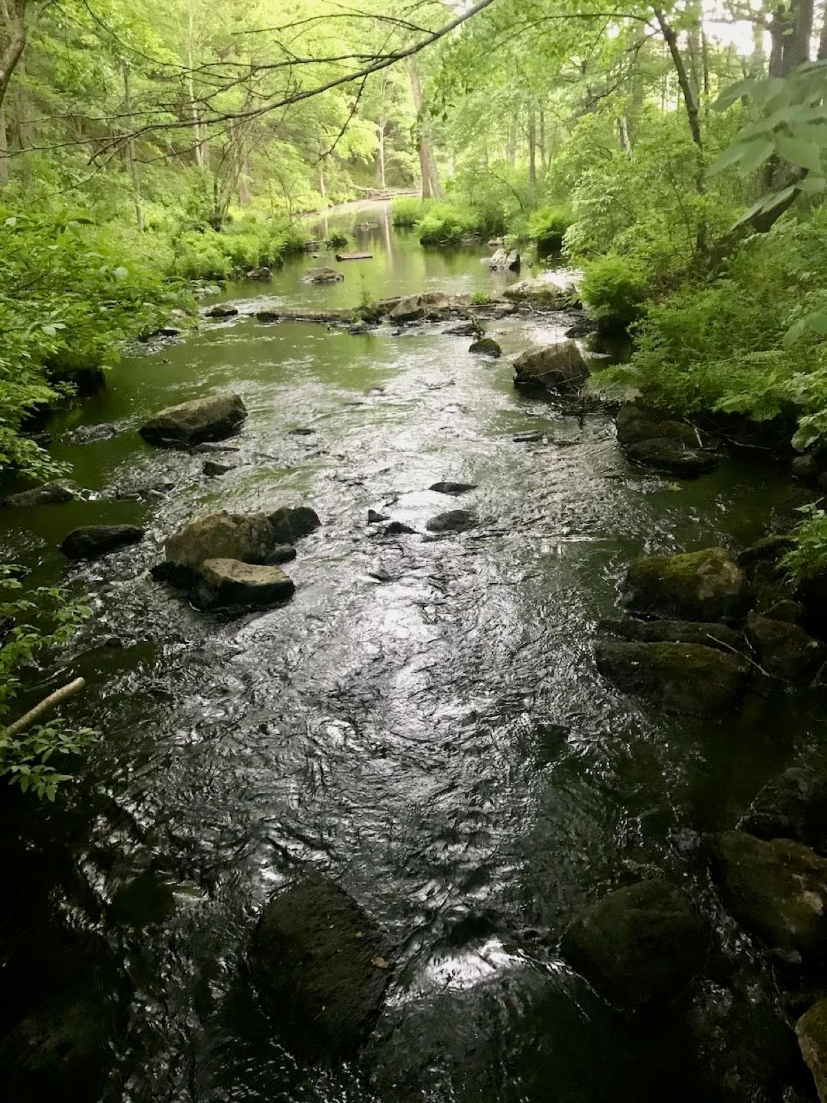 Best spotClark Hill QuarriesLower Connecticut River Valley Planning Region, ConnecticutPublic access · Beryl, Aquamarine, Garnet +7
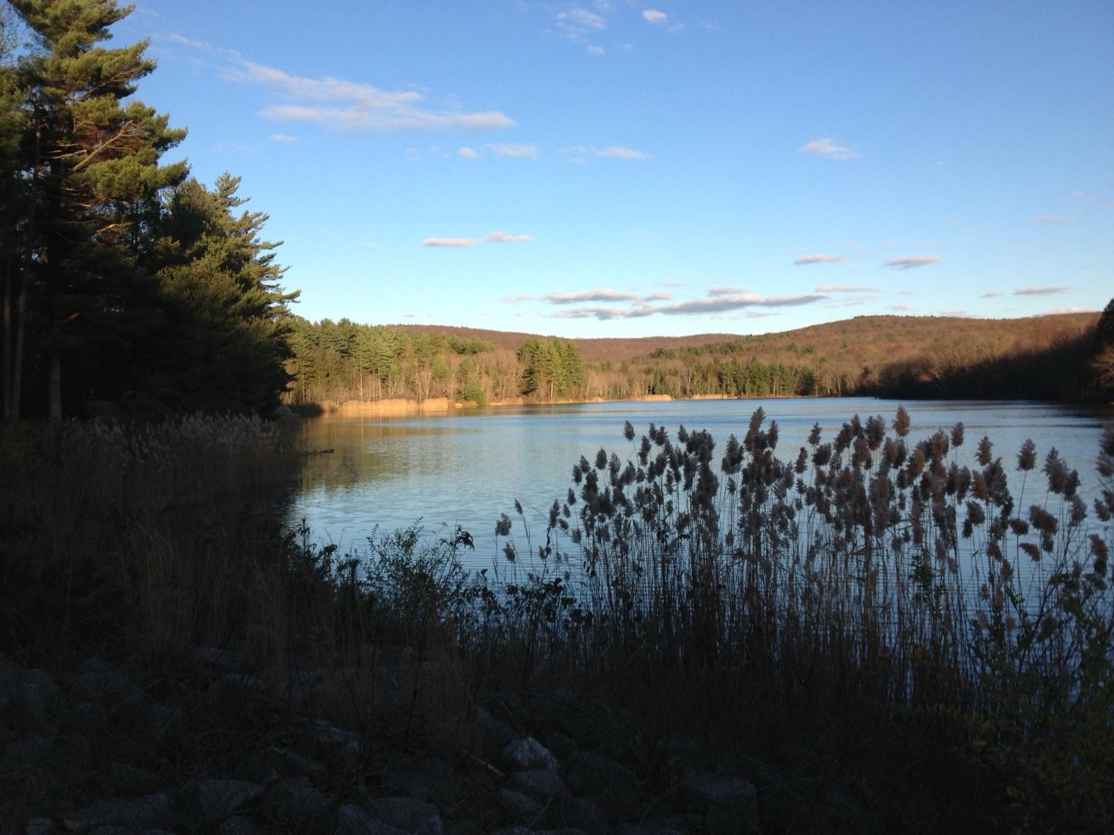 Best spotCase QuarriesLower Connecticut River Valley Planning Region, ConnecticutPublic access · Beryl, Aquamarine, Columbite +5
 Collins HillLower Connecticut River Valley Planning Region, ConnecticutPublic access · Apatite, Aquamarine, Beryl +7
 CCC PegmatiteLower Connecticut River Valley Planning Region, ConnecticutPermission required · Albite, Beryl, Columbite +1
- GlastonburyCapitol Planning Region, ConnecticutPublic access · Columbite, Feldspar
Standout columbite spots in Connecticut
Hand-picked from the full list above, with the reason each one earns a trip.
Case Quarries
Lower Connecticut River Valley Planning Region
The Case Quarries are one of only three sites in Connecticut where mineral collecting on state land is legally sanctioned, set in the pegmatites of Meshomasic State Forest.
Clark Hill Quarries
Lower Connecticut River Valley Planning Region
Clark Hill in Meshomasic State Forest is a second DEEP-sanctioned collecting site and includes the well-known Nathan Hall Quarry.
Best counties for columbite in Connecticut
Ranked by the number of mapped columbite spots. County links open the full rockhounding page for that county.
Columbite in Connecticut FAQ
Where can you find columbite in Connecticut?+
How many columbite spots are mapped in Connecticut?+
Is it legal to collect columbite in Connecticut?+
Where else to find columbite
More minerals to hunt in Connecticut
Hunt columbite in Connecticut with the map in your pocket
RockHoundR puts these spots on an offline map with BLM and Forest Service overlays, geology layers, and a log for your finds.

