
Where to Find Fossils in Illinois
Illinois has 5 mapped collecting spots that report fossils, spread across 5 counties. 5 of the spots are on land mapped as publicly accessible.
Every fossil spot we track in Illinois
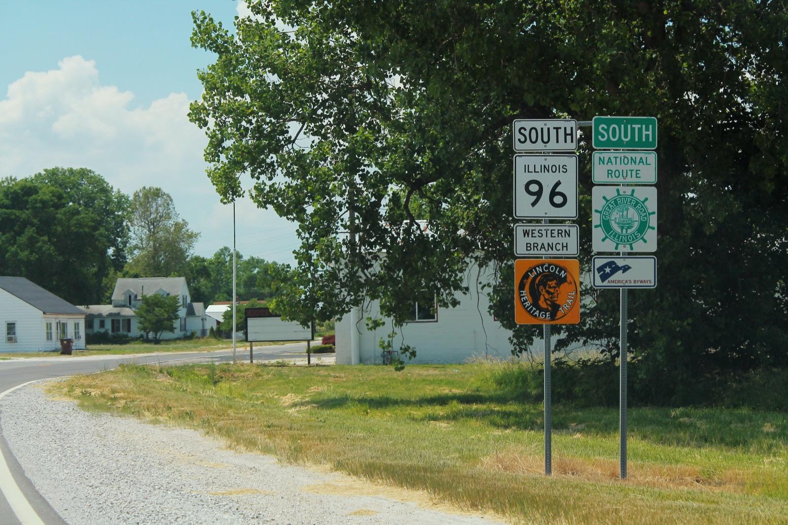 Best spotNiotaHancock County, IllinoisPublic access · Fossil, Geode
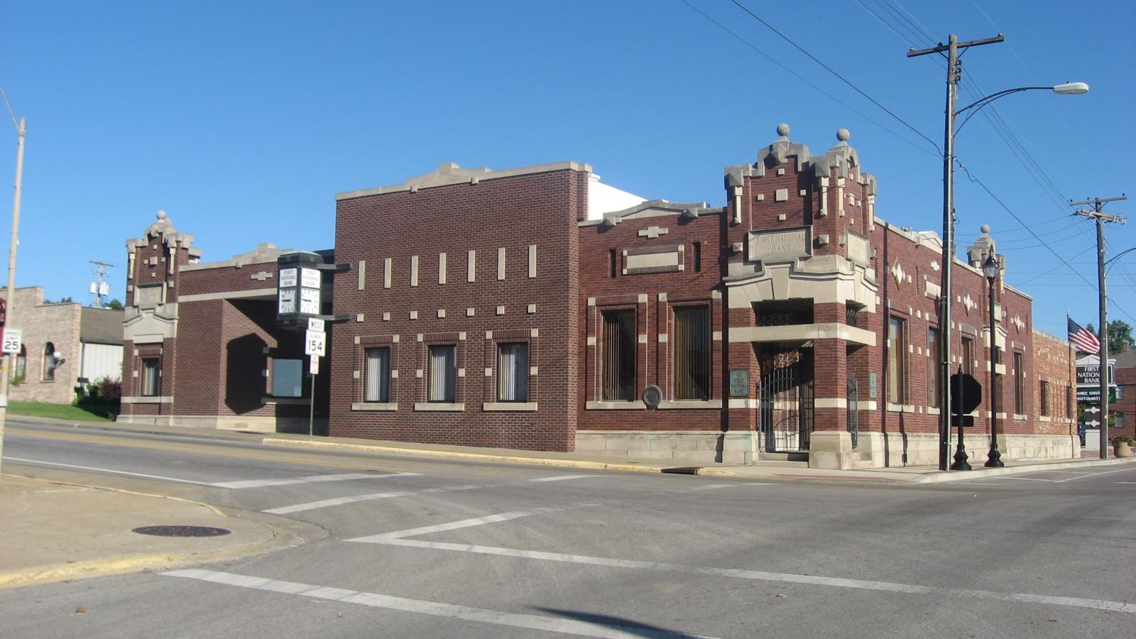 Best spotSpartaRandolph County, IllinoisPublic access · Pyrite, Fossil
 Glencoe BeachCook County, IllinoisPublic access · Granite, Coral, Brachiopod +1
- Mazon RiverGrundy County, IllinoisPublic access · Fossil
- Terre HauteHenderson County, IllinoisPublic access · Fossil
Standout fossil spots in Illinois
Hand-picked from the full list above, with the reason each one earns a trip.
Niota
Hancock County
Niota anchors the eastern edge of the Hancock County geode country, where creeks cross county roads and expose Warsaw Formation geodes weathering out of the outcrop.
Sparta
Randolph County
The coal-measure exposures around Sparta in Randolph County yield well-preserved Pennsylvanian plant fossils along with pyritized and marcasite-replaced material from the Carbondale Formation and associated beds.
Best counties for fossils in Illinois
Ranked by the number of mapped fossil spots. County links open the full rockhounding page for that county.
- Cook County1 spot
- Grundy County1 spot
- Hancock County1 spot
- Henderson County1 spot
- Randolph County1 spot
Fossils in Illinois FAQ
Where can you find fossils in Illinois?+
How many fossil spots are mapped in Illinois?+
Is it legal to collect fossils in Illinois?+
Where else to find fossils
More minerals to hunt in Illinois
Hunt fossils in Illinois with the map in your pocket
RockHoundR puts these spots on an offline map with BLM and Forest Service overlays, geology layers, and a log for your finds.

