
Flatbed Creek Dinosaur Tracks: Rockhounding in Peace River Regional District, British Columbia
- Minerals reported
- 2
Flatbed Creek Dinosaur Tracks is a mapped rockhounding spot in Peace River Regional District, British Columbia, Canada. Reported finds include dinosaur tracks, fossil. Below: coordinates, access notes, and nearby spots.
About Flatbed Creek Dinosaur Tracks
Dinosaur footprints in the bedrock of Flatbed Creek near Tumbler Ridge, reached by a hike of about 4 km return from the Flatbed Falls parking area on Highway 29. Look and photograph only, and do not walk on the prints. The Tumbler Ridge Museum runs paid guided trackway tours in summer.
Plan your visit
Confirm rules before collecting
- County
- Peace River Regional District
- Province
- British Columbia
- Nearest road
- Highway 29
- Postal code
- V0C 2W0
- Coordinates
- 55.10493, -120.97401
Coordinates are approximate. Confirm the exact ground and access before you head out.
Land & collecting status
Confirm rules before collecting
Land status here is not confirmed. National and provincial parks prohibit collecting, while Crown land and many beaches allow it. Verify with the managing agency before you collect.
Access note: Dinosaur footprints in the bedrock of Flatbed Creek near Tumbler Ridge, reached by a hike of about 4 km return from the Flatbed Falls parking area on Highway 29. Look and photograph only, and do not walk on the prints. The Tumbler Ridge Museum runs paid guided trackway tours in summer.
Collecting rules in Canada are set provincially and by land owner. Crown land and many public beaches allow casual hand collecting, while provincial and national parks are off-limits. Confirm the rules for this site before you dig.
Today's weather
Is today a good day to go?
The app shows live weather, recent rain, and a daily rockhounding score for Flatbed Creek Dinosaur Tracks.
Get the appFound at Flatbed Creek Dinosaur Tracks
- Dinosaur Tracks
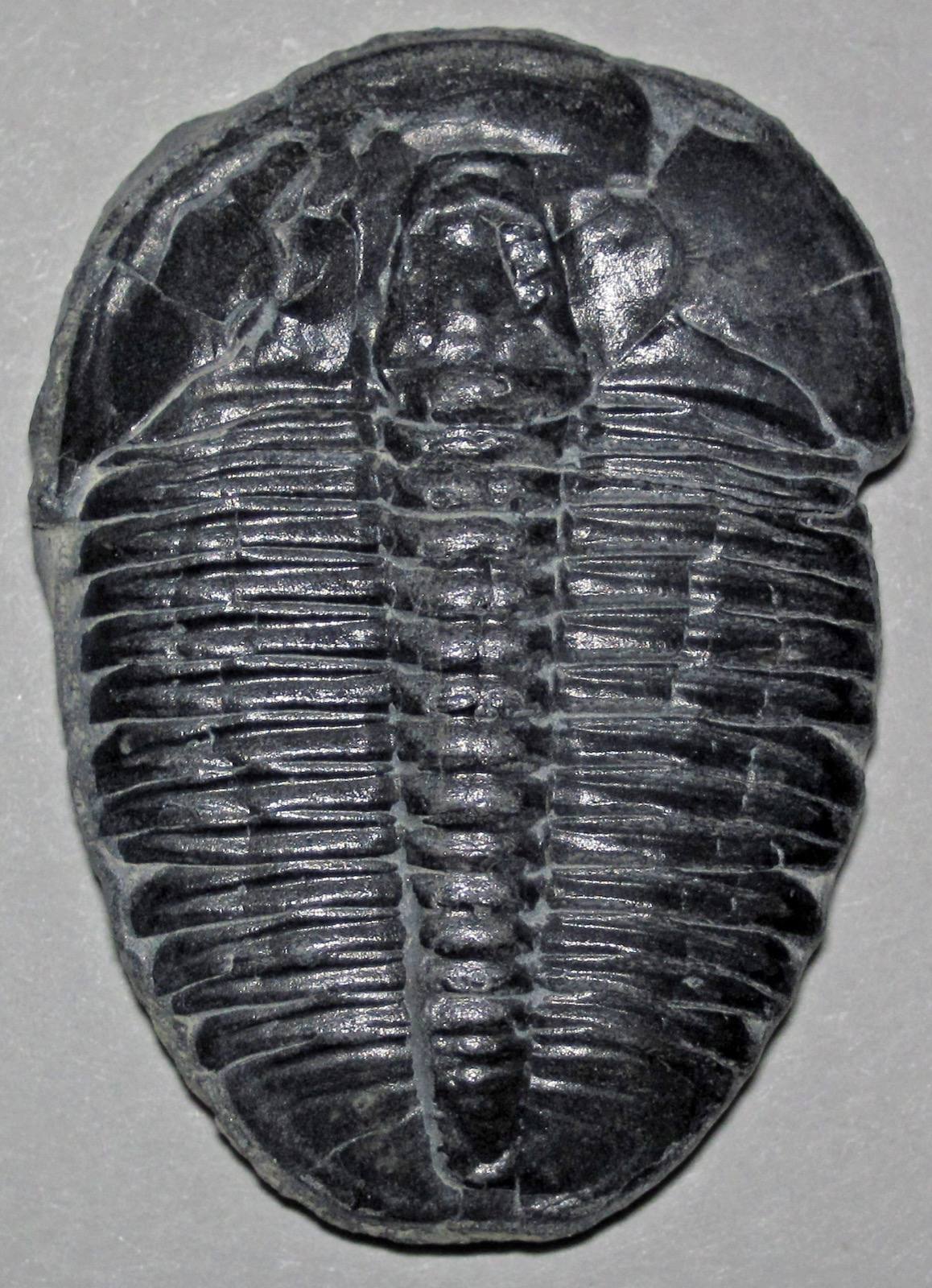 Fossil
Nearby rockhounding spots
Other rockhounding spots in British Columbia within driving distance of Flatbed Creek Dinosaur Tracks.
- Barkerville (Eldorado Gold Panning)Cariboo Regional District, British Columbia · 229 km awayGold
- Quesnel Panning ReserveCariboo Regional District, British Columbia · 257 km awayGold
- Agate Point (Tchesinkut Lake)Regional District of Bulkley-Nechako, British Columbia · 320 km awayAgate, Jasper, Obsidian
- Eagle Creek Opal BedsRegional District of Bulkley-Nechako, British Columbia · 326 km awayOpal, Agate, Fire Opal
- Driftwood Canyon Provincial ParkRegional District of Bulkley-Nechako, British Columbia · 387 km awayFossil, Fossil Plants, Fossil Insects
- Goldstream River Panning ReserveColumbia-Shuswap Regional District, British Columbia · 414 km awayGold
Flatbed Creek Dinosaur Tracks FAQ
Where is Flatbed Creek Dinosaur Tracks?+
What rocks and minerals can you find at Flatbed Creek Dinosaur Tracks?+
Is collecting allowed at Flatbed Creek Dinosaur Tracks?+
More rockhounding in British Columbia
See all 42 British Columbia spots →
Open Flatbed Creek Dinosaur Tracks on the map
Use the RockHoundR app for land overlays, weather, geology, directions, and saved finds.


