
Kakabeka Falls Provincial Park: Rockhounding in Thunder Bay District, Ontario
- Minerals reported
- 3
Kakabeka Falls Provincial Park is a mapped rockhounding spot in Thunder Bay District, Ontario, Canada. Reported finds include fossil, stromatolite, chert. Below: coordinates, access notes, and nearby spots.
About Kakabeka Falls Provincial Park
Provincial park on the Trans-Canada Highway (Highway 11/17), 27 km west of Thunder Bay. The rock under the falls is the 1.8 billion year old Gunflint Formation. Fossil stromatolites found in it in the 1950s were, for a time, the oldest known life on Earth, and the visitor centre has displays of them. Removing natural objects from the park is prohibited, so look but do not take. Day use is open all year, with a parking fee.
Plan your visit
Confirm rules before collecting
- County
- Thunder Bay District
- Province
- Ontario
- Nearest road
- Highway 11/17
- Postal code
- P0T 1W0
- Coordinates
- 48.40283, -89.62357
Coordinates are approximate. Confirm the exact ground and access before you head out.
Land & collecting status
Confirm rules before collecting
Land status here is not confirmed. National and provincial parks prohibit collecting, while Crown land and many beaches allow it. Verify with the managing agency before you collect.
Access note: Provincial park on the Trans-Canada Highway (Highway 11/17), 27 km west of Thunder Bay. The rock under the falls is the 1.8 billion year old Gunflint Formation. Fossil stromatolites found in it in the 1950s were, for a time, the oldest known life on Earth, and the visitor centre has displays of them. Removing natural objects from the park is prohibited, so look but do not take. Day use is open all year, with a parking fee.
Collecting rules in Canada are set provincially and by land owner. Crown land and many public beaches allow casual hand collecting, while provincial and national parks are off-limits. Confirm the rules for this site before you dig.
Today's weather
Is today a good day to go?
The app shows live weather, recent rain, and a daily rockhounding score for Kakabeka Falls Provincial Park.
Get the appFound at Kakabeka Falls Provincial Park
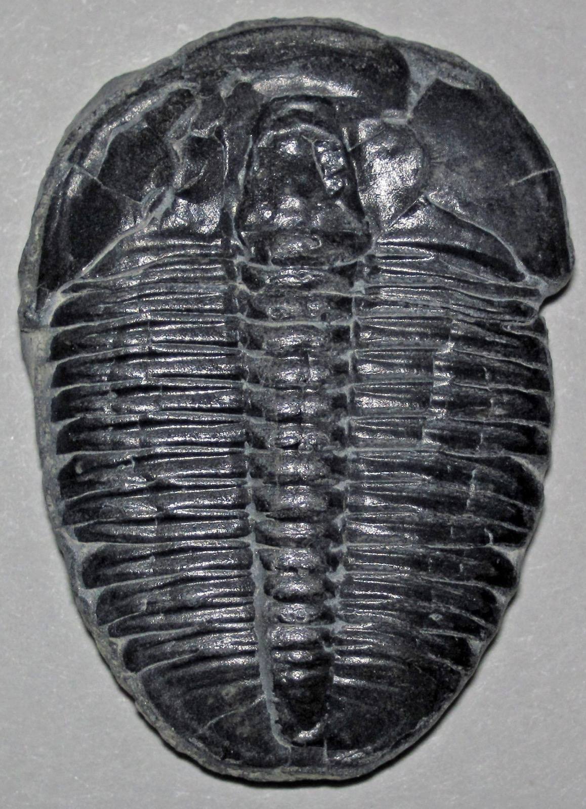 Fossil
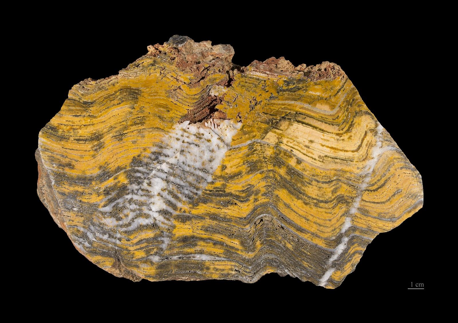 StromatoliteEncyclopedia →
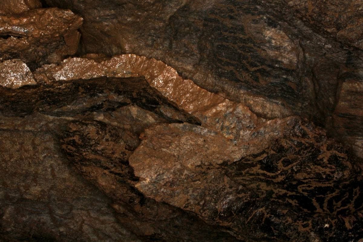 ChertEncyclopedia →
Nearby rockhounding spots
Other rockhounding spots in Ontario within driving distance of Kakabeka Falls Provincial Park.
- Amethyst Mine PanoramaThunder Bay District, Ontario · 73 km awayAmethyst
- Diamond Willow MineThunder Bay District, Ontario · 77 km awayAmethyst
- Blue Point Amethyst MineThunder Bay District, Ontario · 77 km awayAmethyst
- Agate IslandsThunder Bay District, Ontario · 125 km awayGranite, Hematite, Magnetite
- Steel RiverThunder Bay District, Ontario · 205 km awayGranite, Hematite, Magnetite
- Pebble Beach, MarathonThunder Bay District, Ontario · 241 km awayAgate, Quartz, Sodalite
Kakabeka Falls Provincial Park FAQ
Where is Kakabeka Falls Provincial Park?+
What rocks and minerals can you find at Kakabeka Falls Provincial Park?+
Is collecting allowed at Kakabeka Falls Provincial Park?+
More rockhounding in Ontario
See all 36 Ontario spots →
Open Kakabeka Falls Provincial Park on the map
Use the RockHoundR app for land overlays, weather, geology, directions, and saved finds.


