
Chesapeake & Delaware Canal: Fossil Hunting in New Castle County, Delaware
- Mineral reported
- 1
- Elevation
- 30 ft
- Best months
- March to December
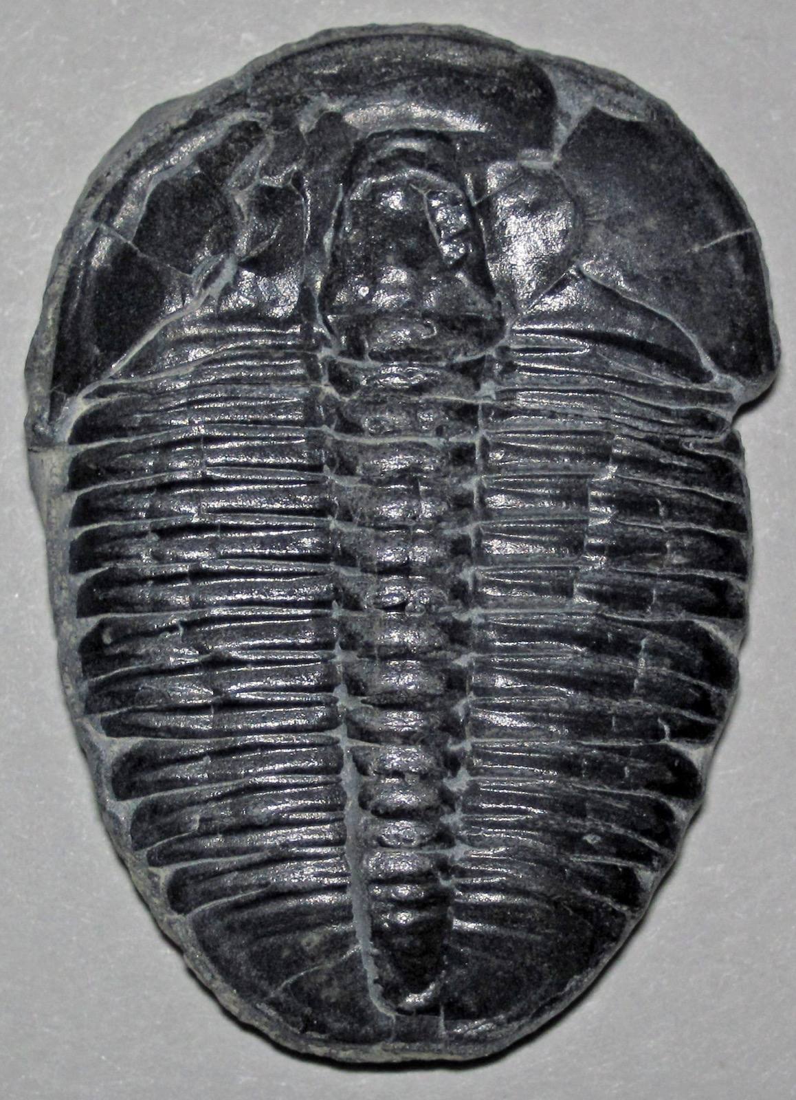
The dredge spoil banks along the north side of the Chesapeake and Delaware Canal are Delaware's most famous fossil ground, cutting into roughly 70-million-year-old Cretaceous marl of the Mount Laurel and Merchantville formations. This is where the state fossil, the belemnite Belemnitella americana, weathers out alongside Exogyra oysters, clam and snail molds, and the occasional shark tooth or marine reptile fragment. Nothing else in Delaware matches its scientific pedigree, documented by the Delaware Geological Survey for generations. The public Michael N. Castle Trail runs the length of the north bank, with trailheads at St. Georges and Delaware City. Reported finds include fossil. Below: coordinates, access notes, nearby spots, and trip-planning links.
Plan your visit
Generally open to casual rockhounding
- County
- New Castle County
- State
- Delaware
- Postcode
- 19706
- Coordinates
- 39.55845, -75.58981
Coordinates are approximate. Confirm the exact ground in the RockHoundR app, where land overlays show which agency manages the area.
Land & collecting status
Generally open to casual rockhounding
Most public-tagged spots sit on BLM, U.S. Forest Service, or other federal land where reasonable hand collecting of common rocks and minerals is allowed. Confirm posted rules and active mining claims before you dig.
Access note: The canal lands are U.S. Army Corps of Engineers property, and DNREC manages the Castle Trail. Small-scale, non-commercial surface collecting of loose fossils from spoil material has long been tolerated, but selling fossils from federal land is a federal crime, and the richest historic piles near Reedy Point are now fenced, buried under riprap and the bike path, or closed during active dredging. Do not dig into or climb the canal slopes below the riprap. Check current access with the Army Corps Philadelphia District before relying on it, and treat it as a surface-only, look-first site.
Public-land rules vary by agency, season, and field office. The RockHoundR app pulls live BLM, USFS, NPS, and tribal overlays so you can see exactly which agency manages the ground at this spot.
Best time to visit Chesapeake & Delaware Canal
Comfortable months (45 to 90°F highs)
Best months: March to December. Typical highs run 87°F in midsummer and 42°F in midwinter, with winter lows near 26°F.
Climate normals: NOAA 1991-2020 monthlies, WILMINGTON NEW CASTLE CO AP station (8 mi away).
Geology at Chesapeake & Delaware Canal
This spot sits on Mt. Laurel-Navesink Formation, mapped as silt and sand that formed roughly 145 to 66 million years ago. Reworked sediments like these can carry fossils eroded from older beds upstream, typically as rolled bone fragments, teeth, and shell material.
- Mapped unit
- Mt. Laurel-Navesink Formation
- Age
- 145–66 Ma (Cretaceous)
- Rock types
- silt and sand
- Elevation
- 30 ft
Geologic mapping via Macrostrat and the underlying state geological survey maps (CC BY 4.0). Bedrock at the surface can vary within a mapped unit.
Today's weather
Is today a good day to go?
The app shows live weather, recent rain, and a daily rockhounding score for Chesapeake & Delaware Canal.
Get the appSources & verification
Spot details combine the public RockHoundR location dataset, normalized mineral labels, agency land-status checks in the app, and community submissions. Coordinates are approximate until verified in the field.
- Delaware Geological Survey
- Delaware State Parks rules
- Community submissions reviewed against published agency rules
Found at Chesapeake & Delaware Canal
Each name opens all spots that produce that material; the encyclopedia link opens the full ID and field guide.
Nearby rockhounding spots
Other rockhounding spots within driving distance of Chesapeake & Delaware Canal.
- Hoopes ReservoirNew Castle County, Delaware · 16 mi awaySillimanite
- Near Brandywine Springs State ParkNew Castle County, Delaware · 17 mi awaySillimanite
- Pickering BeachKent County, Delaware · 22 mi awayQuartz
- Bowers BeachKent County, Delaware · 36 mi awayQuartz
- Coursey PondKent County, Delaware · 40 mi awayFossil
- Killen PondKent County, Delaware · 40 mi awayFossil
- Slaughter BeachSussex County, Delaware · 48 mi awayQuartz, Jasper
- Fowler BeachSussex County, Delaware · 50 mi awayQuartz
Across the state line from Chesapeake & Delaware Canal
Chesapeake & Delaware Canal is close enough to the Delaware border that the next-closest rockhounding spots are in a neighboring state. Worth knowing if you are already on the road.
- Salem CountySalem County, New Jersey · 8 mi awayAmber
- Elk MillsCecil County, Maryland · 14 mi awayBeryl, Garnet
- Oldman’s CreekSalem County, New Jersey · 18 mi awayAmber
- HarrisonvilleGloucester County, New Jersey · 19 mi awayAmber
- East Branch Naamanm CreekDelaware County, Pennsylvania · 20 mi awaySphene, Quartz, Garnet
- Brandywine CreekChester County, Pennsylvania · 20 mi awayAmethyst
Chesapeake & Delaware Canal FAQ
Where is Chesapeake & Delaware Canal?+
What rocks and minerals can you find at Chesapeake & Delaware Canal?+
Is collecting allowed at Chesapeake & Delaware Canal?+
What tools should I bring to Chesapeake & Delaware Canal?+
When is the best time to visit Chesapeake & Delaware Canal?+
How do I get to Chesapeake & Delaware Canal?+
More rockhounding in Delaware
See all 13 Delaware spots →
Open Chesapeake & Delaware Canal on the map
Use the RockHoundR app for live land overlays, weather, geology, directions, and saved finds.


