
Rockhounding in Oxford County, Maine
16 mapped rockhounding spots in Oxford County. Most commonly produces feldspar, quartz, beryl, schorl.
Every rockhounding spot in Oxford County
 Best spotHarvard Quarry (Noyes Mountain)Oxford County, MainePublic access · Green Tourmaline, Schorl, Beryl +3
- Best spotDeer Hill (White Mountain National Forest)Oxford County, MainePublic access · Amethyst, Beryl, Feldspar +2
- Best spotLord Hill (White Mountain National Forest)Oxford County, MainePublic access · Topaz, Phenakite, Smoky Quartz +2
- Best spotSwift River at Coos CanyonOxford County, MainePublic access · Gold, Garnet, Magnetite +1
 Bumpus QuarryOxford County, MainePublic access · Albite, Almandine Garnet, Autunite +11
- Scribner Ledge Quarry & Crocker Hill MinesOxford County, MainePublic access · Graphite, Molybdenite, Pyrite +9
- Hedgehog Hill QuarryOxford County, MainePublic access · Albite, Almandine Garnet, Beryl +7
- Deer Hill MineralOxford County, MainePublic access · Amethyst, Quartz, Feldspar +5
- Singepole Mountain QuarryOxford County, MainePublic access · Almandine Garnet, Beryl, Biotite +5
- Ragged Jack MountainOxford County, MainePublic access · Almandine Garnet, Chrysoberyl, Fluorapatite +4
- Lord Hill MineralOxford County, MainePublic access · Feldspar, Quartz, Topaz +1
 Mount Mica QuarryOxford County, MaineFee dig · Tourmaline, Rose Quartz
- Baldpate MountainOxford County, MainePublic access · Aquamarine
- Colton HillOxford County, MaineFee dig · Amethyst
- Frank C Perham Mineral ParkOxford County, MainePublic access · Tourmaline
- Dig Maine GemsOxford County, MaineFee dig
Oxford County rockhounding photos
Representative spot and material photos from this county, shown where verified public image records are available.
Minerals reported in Oxford County
Standouts in Oxford County
Hand-picked spots in Oxford County, chosen for unusual mineralogy or documented public access. Each card opens the full coordinates and access notes.
 Top pick
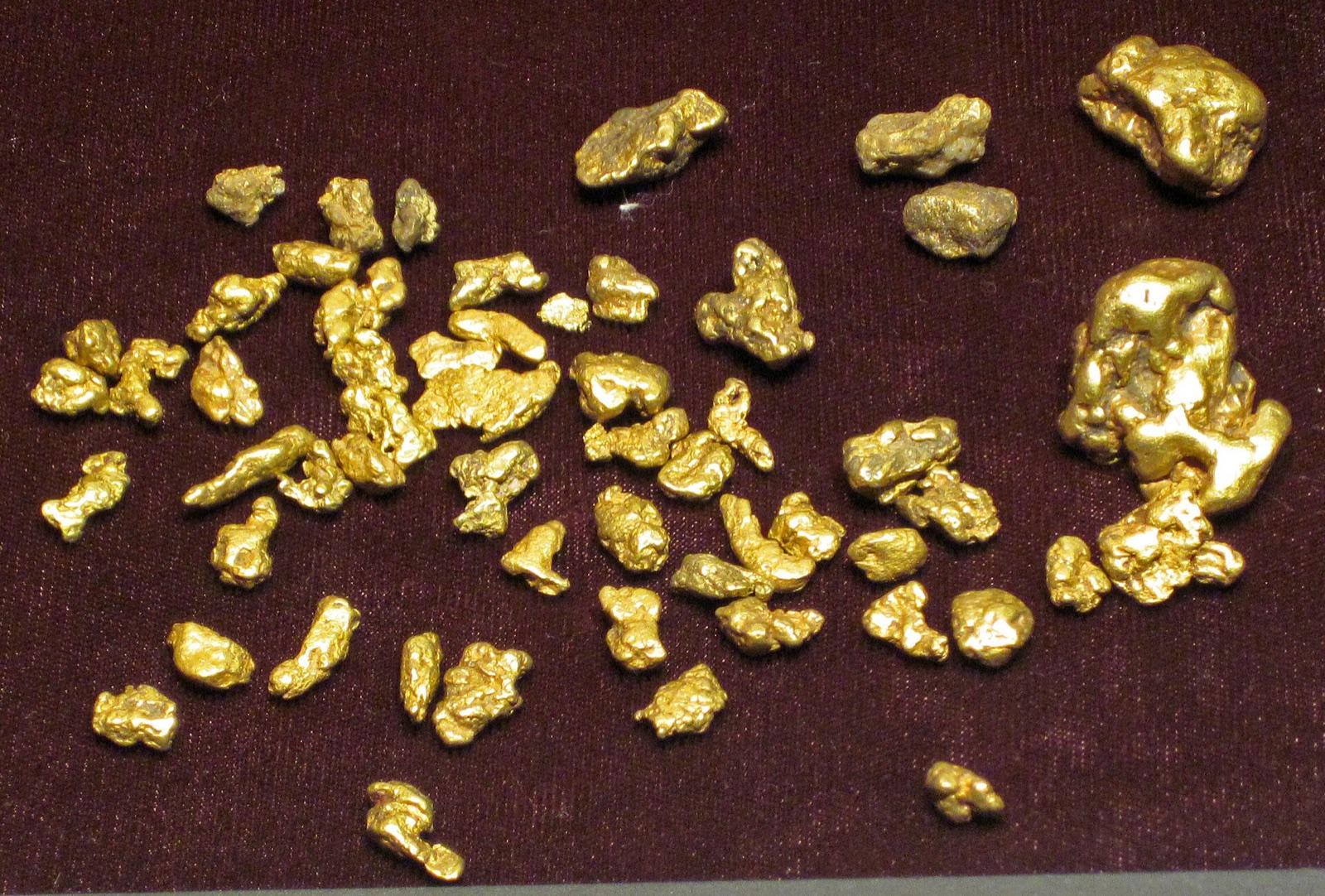
Swift River at Coos Canyon
Public accessOxford County
The Swift River at Coos Canyon in Byron carries fine glacial gold and is the most famous recreational gold-panning spot in New England, with flakes recoverable from bedrock crevices in the roadside gorge.
Gold, Garnet, Magnetite, Staurolite
 Top pick
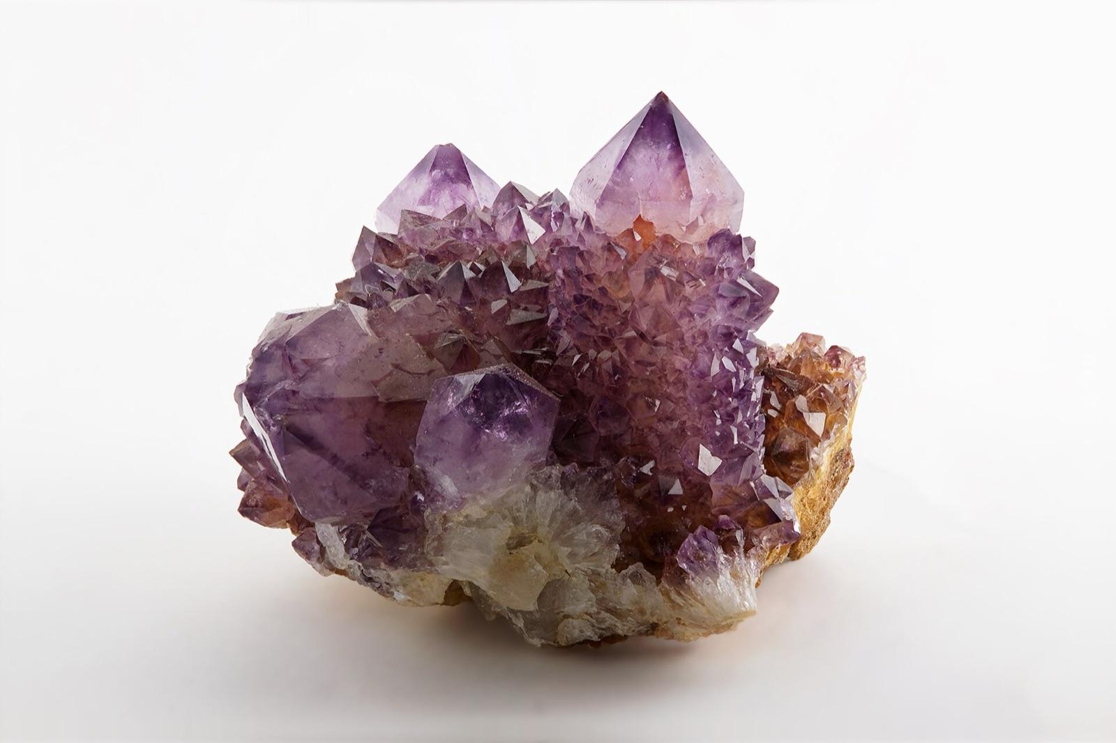
Deer Hill (White Mountain National Forest)
Public accessOxford County
Deer Hill is a US Forest Service designated mineral collecting area in the White Mountain National Forest, known for amethyst recovered by screening the sandy soil.
Amethyst, Beryl, Feldspar, Garnet
 Top pick
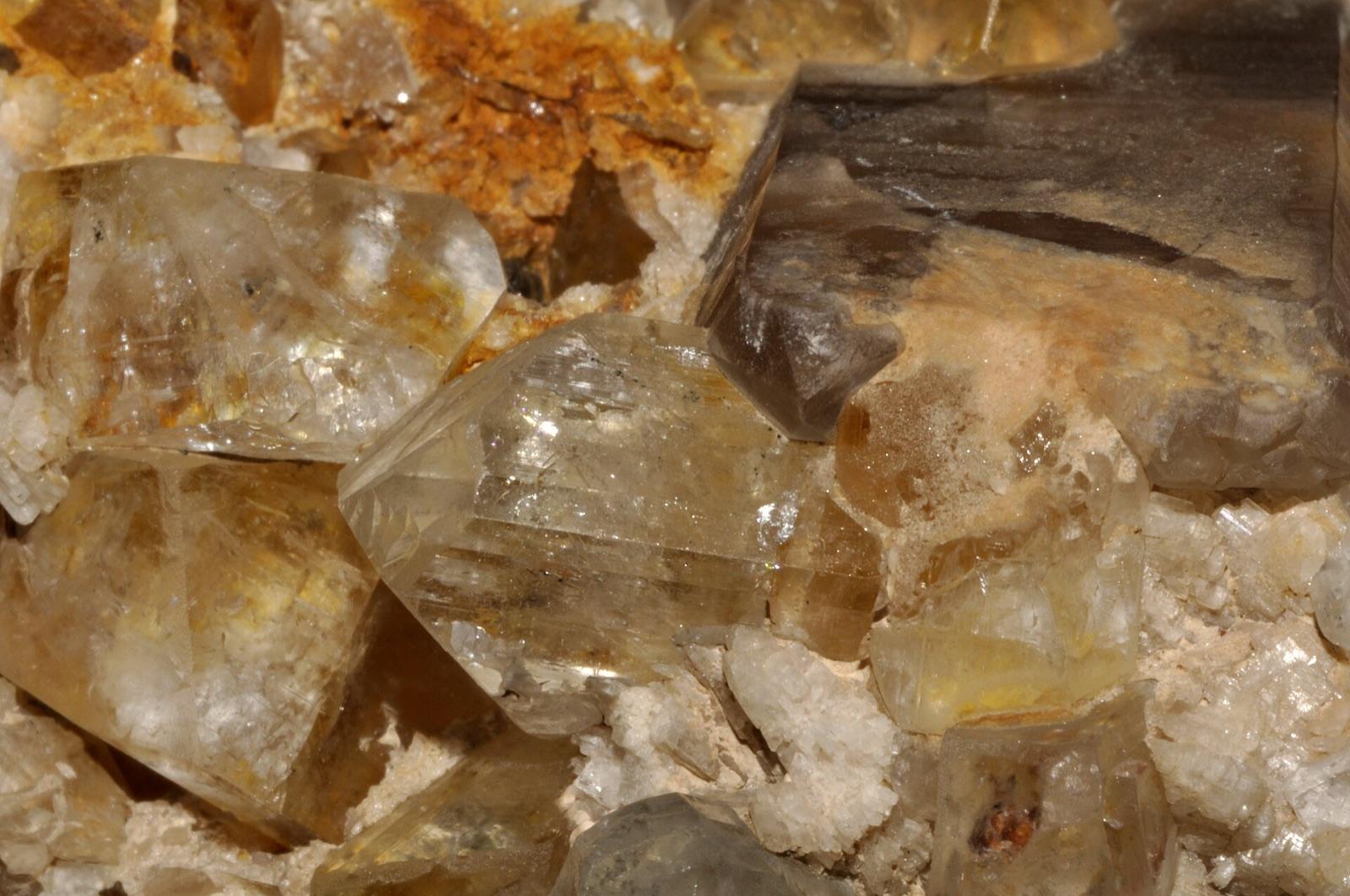
Lord Hill (White Mountain National Forest)
Public accessOxford County
Lord Hill is a granite pegmatite in the White Mountain National Forest where more than 50 minerals have been recorded, most famously large white topaz and smoky quartz crystals encrusted with rare phenakite.
Topaz, Phenakite, Smoky Quartz, Feldspar
 Top pick
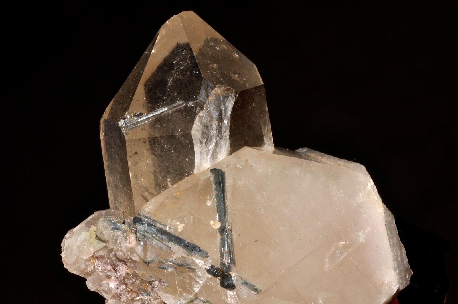
Harvard Quarry (Noyes Mountain)
Public accessOxford County
The historic Harvard Quarry on Noyes Mountain produced the gem green tourmaline that gave the Harvard green color its name, and its dumps still yield schorl, beryl, smoky quartz, rose quartz, and purple apatite.
Green Tourmaline, Schorl, Beryl, Rose Quartz
Neighboring counties in Maine
Adjacent rockhounding counties, ranked by how close their centroids sit to Oxford County. A natural extension if Oxford County is already on your trip plan.
Across the state line from Oxford County
Rockhounding counties in neighboring states within driving range. Geology rarely respects state borders. These are often the closest mapped spots you can reach without going deeper into Maine.
Oxford County FAQ
Where can I rockhound in Oxford County, Maine?+
What rocks and minerals are common in Oxford County?+
Are these Oxford County rockhounding spots on public land?+
Plan a Oxford County rockhounding trip
Open RockHoundR to see these spots on the map alongside land overlays, weather, geology, and your saved finds.

