
Rockhounding in Coös County, New Hampshire
4 mapped rockhounding spots in Coös County. Most commonly produces amethyst, albite, beryl, chlorite.
Every rockhounding spot in Coös County
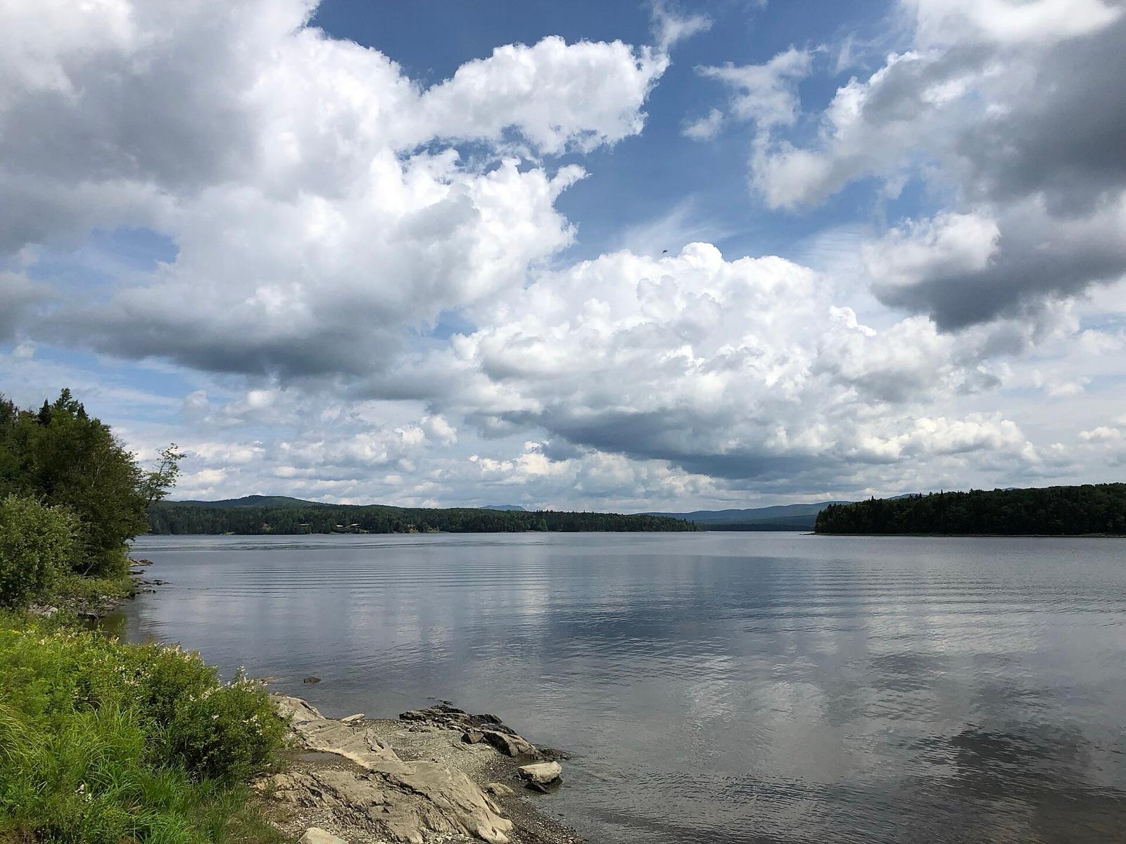 Best spotIndian StreamCoös County, New HampshirePublic access · Gold Nugget, Gold Placer
 Victor HeadCoös County, New HampshirePermission required · Albite, Amethyst, Beryl +9
 Mount JasperCoös County, New HampshirePublic access · Jasper
- StratfordCoös County, New HampshirePermission required · Amethyst
Coös County rockhounding photos
Representative spot and material photos from this county, shown where verified public image records are available.
Minerals reported in Coös County
Standout in Coös County
Hand-picked spot in Coös County, chosen for unusual mineralogy or documented public access. Each card opens the full coordinates and access notes.
Neighboring counties in New Hampshire
Adjacent rockhounding counties, ranked by how close their centroids sit to Coös County. A natural extension if Coös County is already on your trip plan.
Across the state line from Coös County
Rockhounding counties in neighboring states within driving range. Geology rarely respects state borders. These are often the closest mapped spots you can reach without going deeper into New Hampshire.
Coös County FAQ
Where can I rockhound in Coös County, New Hampshire?+
What rocks and minerals are common in Coös County?+
Are these Coös County rockhounding spots on public land?+
Plan a Coös County rockhounding trip
Open RockHoundR to see these spots on the map alongside land overlays, weather, geology, and your saved finds.

