
Rockhounding in Carroll County, New Hampshire
6 mapped rockhounding spots in Carroll County. Most commonly produces smoky quartz, amethyst, feldspar, topaz.
Every rockhounding spot in Carroll County
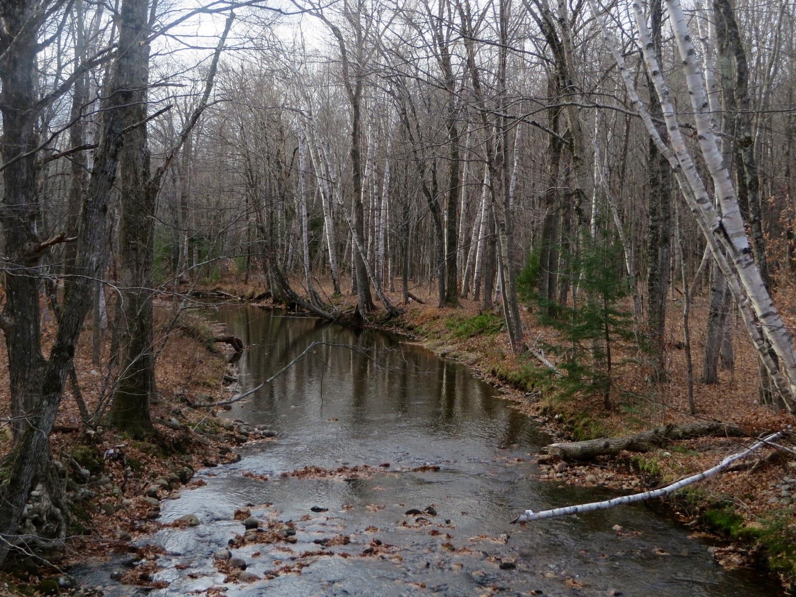 Best spotDeer Hill Mineral Collecting AreaCarroll County, New HampshirePublic access · Amethyst, Beryl, Garnet +3
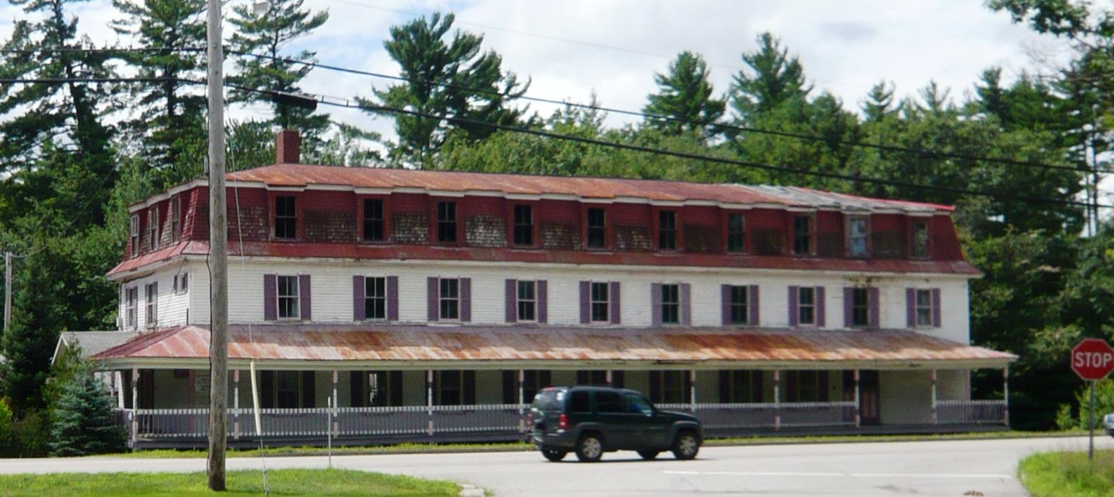 Best spotRedstoneCarroll County, New HampshirePublic access · Amethyst, Apatite, Quartz +2
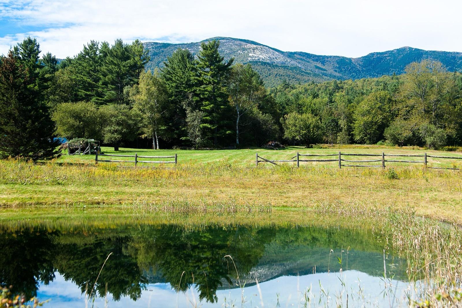 Best spotSouth Baldface MountainCarroll County, New HampshirePublic access · Smoky Quartz, Topaz, Phenakite +1
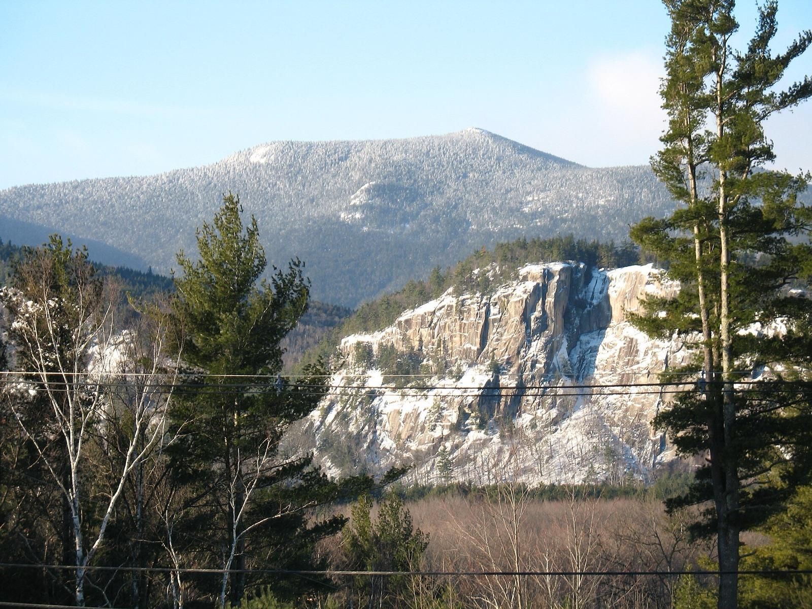 Best spotConwayCarroll County, New HampshirePublic access · Feldspar, Smoky Quartz, Topaz
 Hurricane MountainCarroll County, New HampshirePublic access · Amethyst, Smoky Quartz
- Province LakeCarroll County, New HampshirePublic access · Blue Beryl, Feldspar
Carroll County rockhounding photos
Representative spot and material photos from this county, shown where verified public image records are available.
Minerals reported in Carroll County
Standouts in Carroll County
Hand-picked spots in Carroll County, chosen for unusual mineralogy or documented public access. Each card opens the full coordinates and access notes.
- Top pick
Conway
Public accessCarroll County
Moat Mountain is one of only a handful of White Mountain National Forest sites where the public may dig for minerals, and it is the classic New Hampshire locality for smoky quartz and green amazonite feldspar weathered out of the Conway granite.
Feldspar, Smoky Quartz, Topaz
- Top pick
Redstone
Public accessCarroll County
The Redstone quarries worked the Conway granite from the 1880s to the 1940s for its prized red and green building stone, and the waste piles still yield smoky quartz and the green potassium feldspar that tints the granite.
Amethyst, Apatite, Quartz, Smoky Quartz
- Top pick
Deer Hill Mineral Collecting Area
Public accessCarroll County
Deer Hill is one of the White Mountain National Forest's designated mineral sites and is best known for amethyst, which weathers loose into the sandy soil and can be recovered with a screen.
Amethyst, Beryl, Garnet, Columbite
- Top pick
South Baldface Mountain
Public accessCarroll County
The pegmatite ledges high on South Baldface Mountain carry smoky quartz, feldspar and biotite in the Conway granite, and the site is historically important as the source of a rare phenakite and topaz find first described in 1923.
Smoky Quartz, Topaz, Phenakite, Feldspar
Neighboring counties in New Hampshire
Adjacent rockhounding counties, ranked by how close their centroids sit to Carroll County. A natural extension if Carroll County is already on your trip plan.
Across the state line from Carroll County
Rockhounding counties in neighboring states within driving range. Geology rarely respects state borders. These are often the closest mapped spots you can reach without going deeper into New Hampshire.
Carroll County FAQ
Where can I rockhound in Carroll County, New Hampshire?+
What rocks and minerals are common in Carroll County?+
Are these Carroll County rockhounding spots on public land?+
Plan a Carroll County rockhounding trip
Open RockHoundR to see these spots on the map alongside land overlays, weather, geology, and your saved finds.

