
Rockport Recreation Area: Fossil Hunting in Alpena County, Michigan
- Minerals reported
- 13
- Elevation
- 600 ft
- Best months
- April to October
Rockport State Recreation Area opens a 300-acre former limestone quarry whose floor is scattered with Devonian fossils about 400 million years old, including Petoskey stones, Favosites honeycomb coral, brachiopods, and crinoids. It is one of the few Michigan state sites where the DNR openly invites visitors to keep up to 25 pounds of fossils per person each year. Pyrite also occurs in the quarry beds. Reported finds include petoskey stone, fossilized coral, brachiopod, crinoid stem, pyrite, and more. Below: coordinates, access notes, nearby spots, and trip-planning links.
Plan your visit
Generally open to casual rockhounding
- County
- Alpena County
- State
- Michigan
- Nearest road
- Old Grade Road
- Coordinates
- 45.20126, -83.39488
Coordinates are approximate. Confirm the exact ground in the RockHoundR app, where land overlays show which agency manages the area.
Land & collecting status
Generally open to casual rockhounding
Most public-tagged spots sit on BLM, U.S. Forest Service, or other federal land where reasonable hand collecting of common rocks and minerals is allowed. Confirm posted rules and active mining claims before you dig.
Access note: The quarry sits on Lake Huron just north of Alpena and is day-use only, with a Recreation Passport required for vehicle entry. Collect loose surface fossils up to 25 pounds per person per year, and watch for uneven footing and standing water on the quarry floor.
Public-land rules vary by agency, season, and field office. The RockHoundR app pulls live BLM, USFS, NPS, and tribal overlays so you can see exactly which agency manages the ground at this spot.
Best time to visit Rockport Recreation Area
Comfortable months (45 to 90°F highs)
Best months: April to October. Typical highs run 77°F in midsummer and 27°F in midwinter, with winter lows near 13°F.
Climate normals: NOAA 1991-2020 monthlies, ALPENA WWTP station (10 mi away).
Geology at Rockport Recreation Area
This spot sits on Traverse Group, mapped as limestone that formed roughly 395 to 385 million years ago. Limestone like this typically forms in ancient seas, so marine fossils such as brachiopods, corals, and crinoids tend to weather out of fresh exposures.
- Mapped unit
- Traverse Group
- Age
- 395–385 Ma (Middle Devonian)
- Rock types
- limestone
- Elevation
- 600 ft
Geologic mapping via Macrostrat and the underlying state geological survey maps (CC BY 4.0). Bedrock at the surface can vary within a mapped unit.
Today's weather
Is today a good day to go?
The app shows live weather, recent rain, and a daily rockhounding score for Rockport Recreation Area.
Get the appSources & verification
Spot details combine the public RockHoundR location dataset, normalized mineral labels, agency land-status checks in the app, and community submissions. Coordinates are approximate until verified in the field.
State guidance last verified:
- Michigan DNR, Rockhounding rules
- Michigan Geological Survey
- Isle Royale National Park, Rules
- Community submissions reviewed against published agency rules
Found at Rockport Recreation Area
Each name opens all spots that produce that material; the encyclopedia link opens the full ID and field guide.
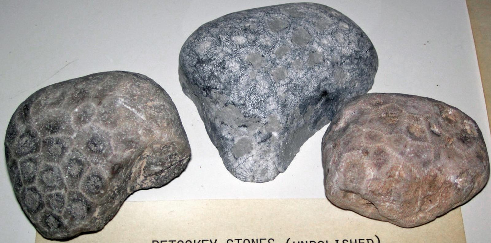 Petoskey StoneEncyclopedia →
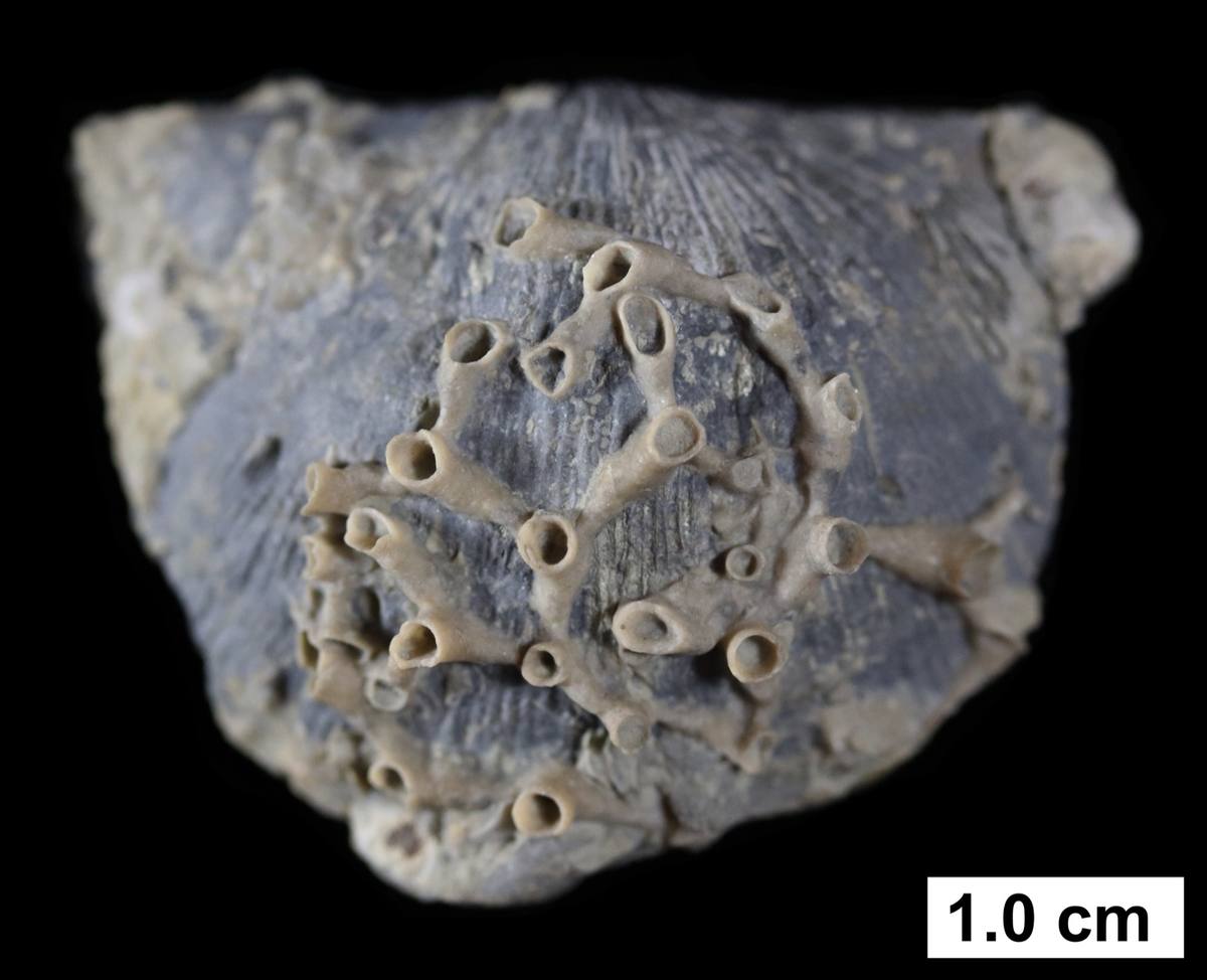 Fossilized Coral
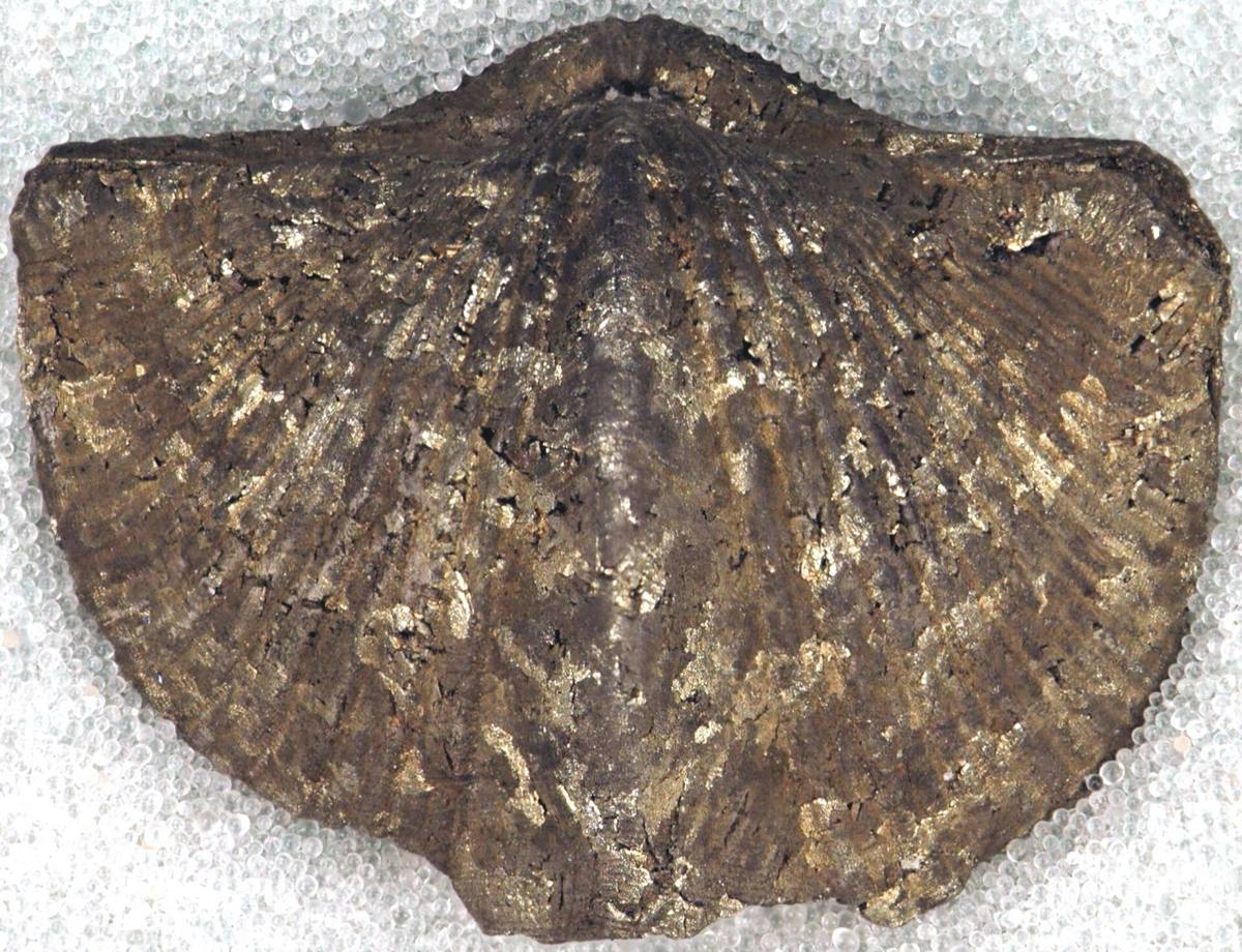 BrachiopodEncyclopedia →
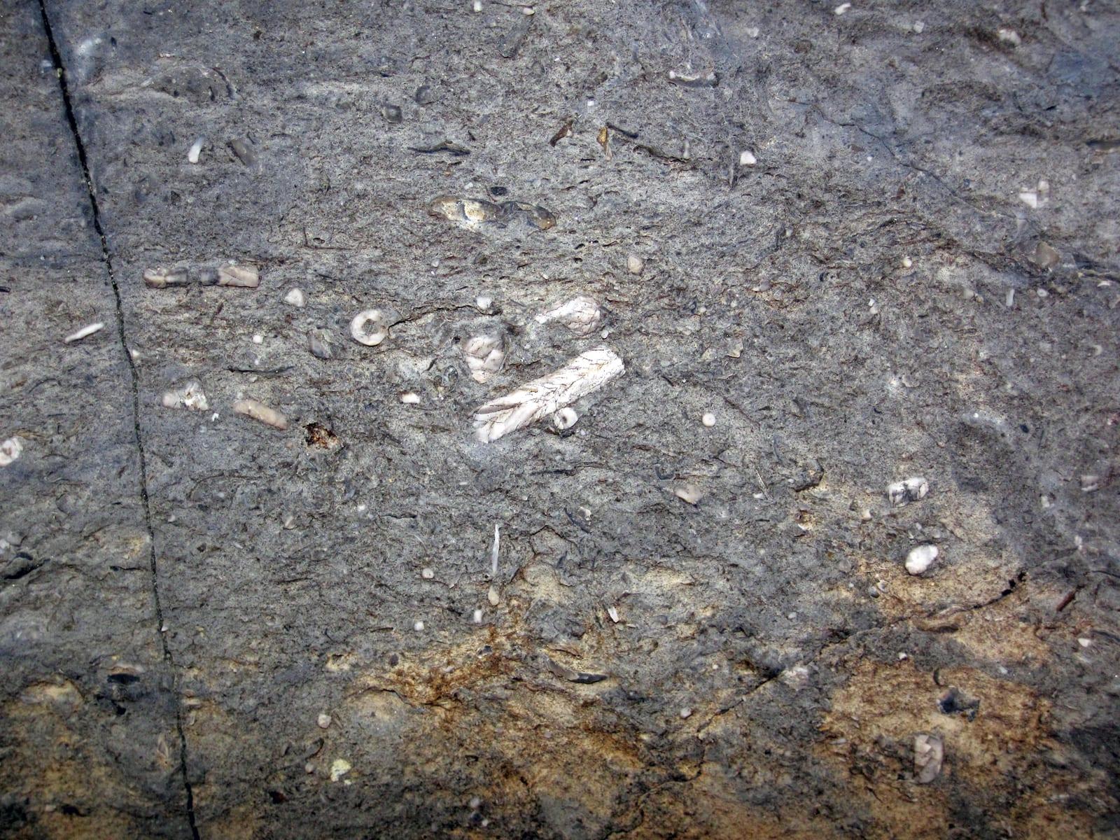 Crinoid StemEncyclopedia →
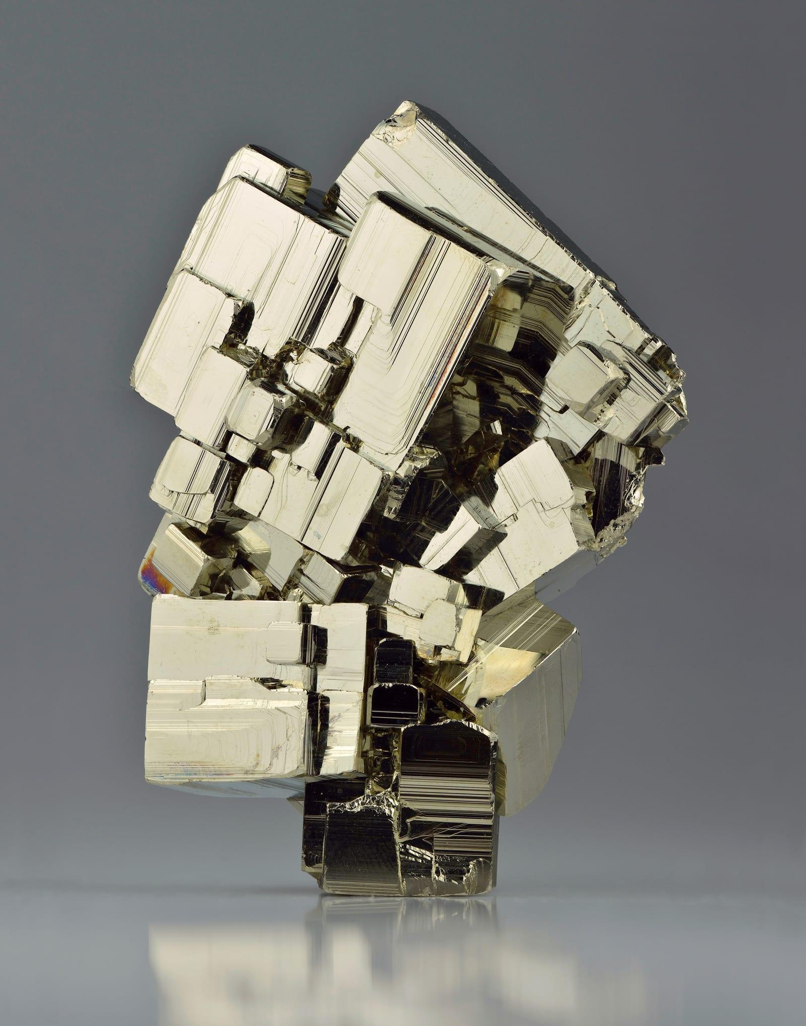 PyriteEncyclopedia →
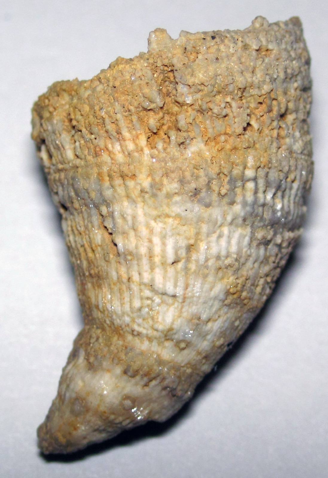 Horn CoralEncyclopedia →
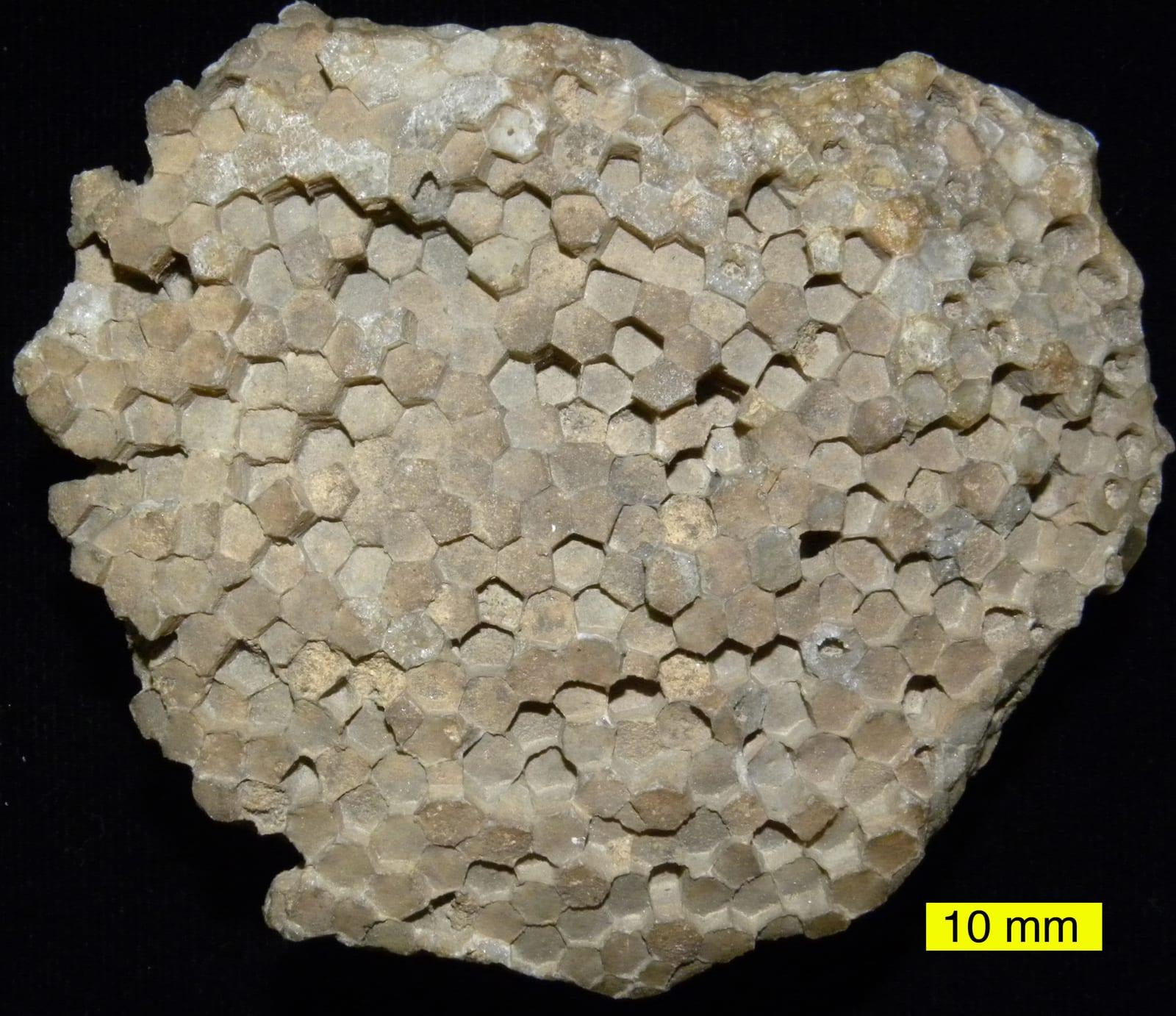 Favosites
- Cladopora
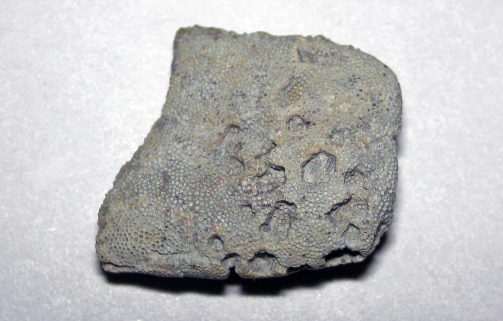 Bryozoan
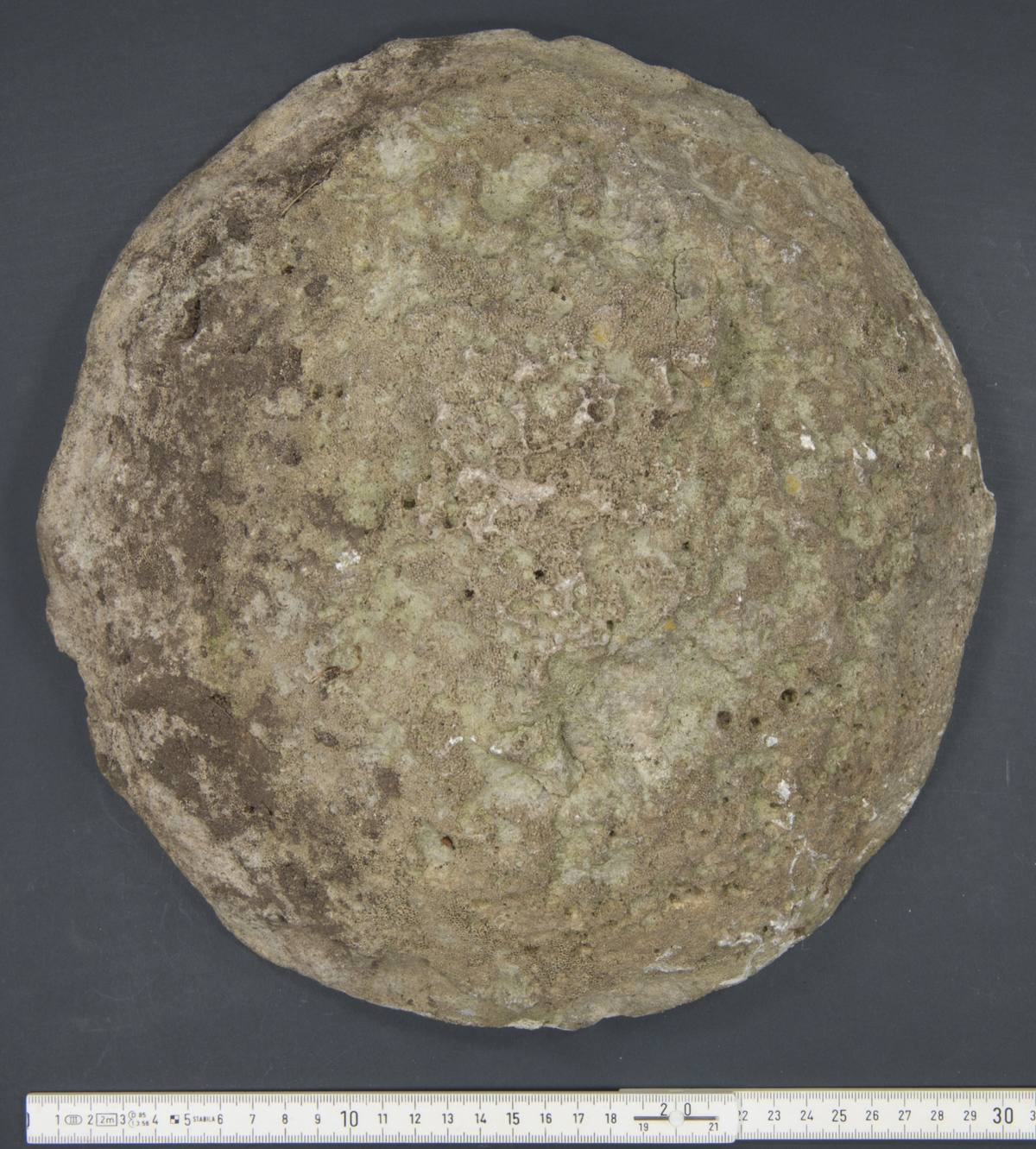 Stromatoporoid
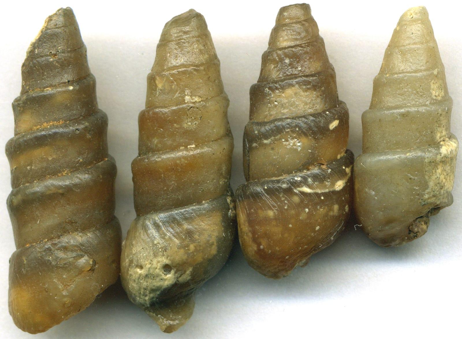 Gastropod
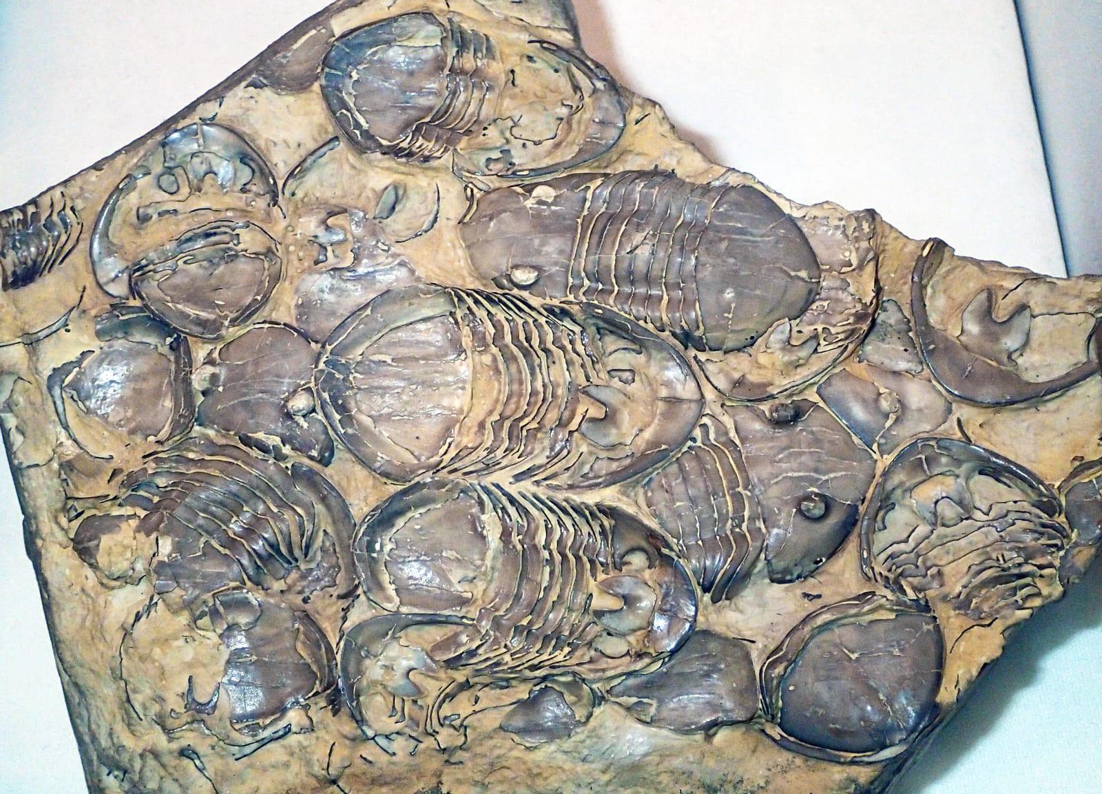 Trilobite
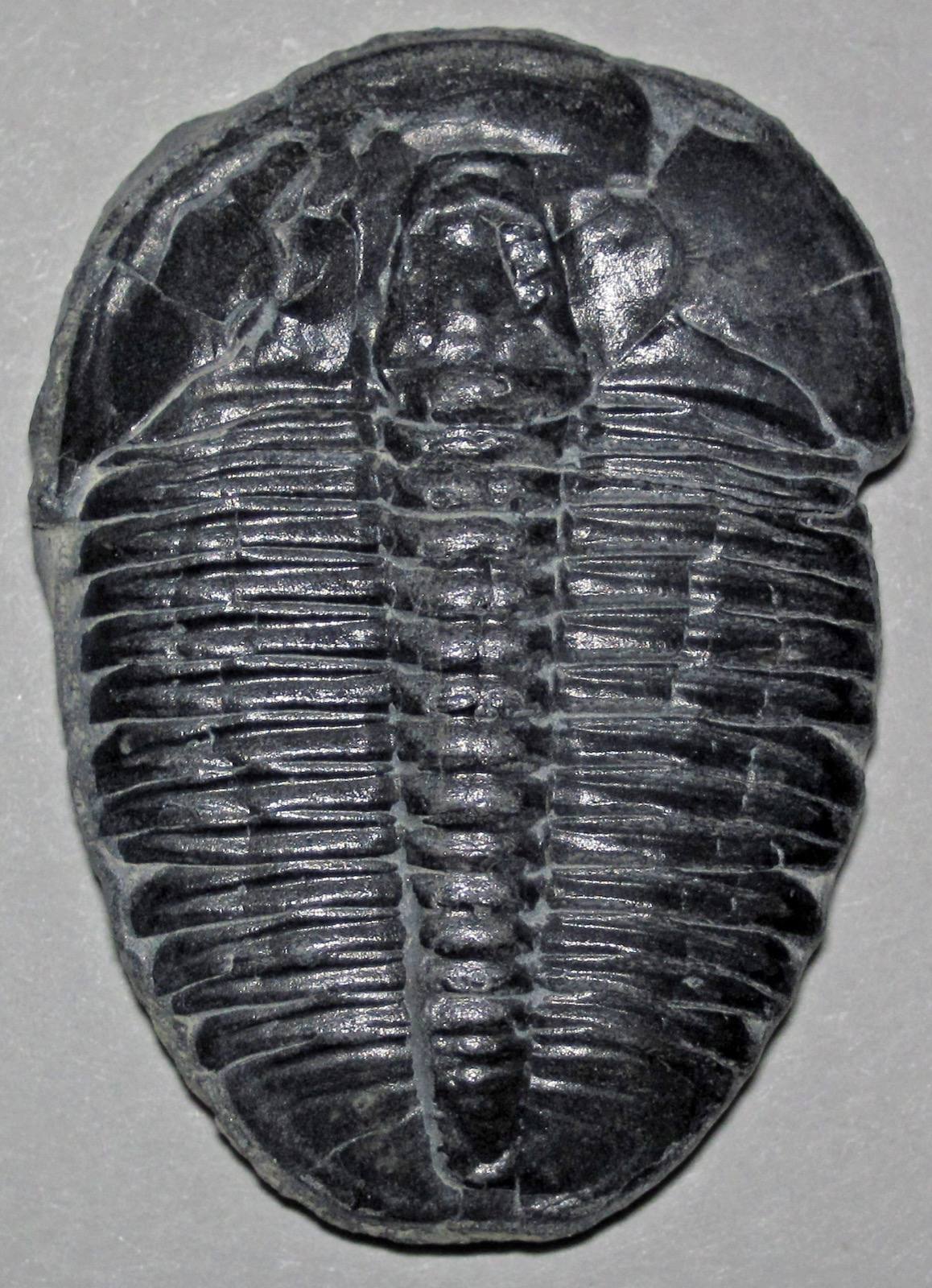 Fossil
Nearby rockhounding spots
Other rockhounding spots within driving distance of Rockport Recreation Area.
- Besser Natural AreaPresque Isle County, Michigan · 3 mi away
- Presque Isle ShorelinePresque Isle County, Michigan · 13 mi awayAgate, Chalcedony Geode, Sandstone With Calcite Vein
- Partridge PointAlpena County, Michigan · 13 mi awayCrinoid, Brachiopod, Horn Coral
- Thompson's Harbor State ParkPresque Isle County, Michigan · 15 mi awayGranite, Gneiss, Quartz
- Negwegon State ParkAlcona County, Michigan · 24 mi awayPuddingstone, Petoskey Stone, Granite
- Seagull Point ParkPresque Isle County, Michigan · 27 mi away
- Hoeft State ParkPresque Isle County, Michigan · 30 mi awayPuddingstone, Granite, Quartz
- Sturgeon Point LighthouseAlcona County, Michigan · 34 mi awayGranite, Chert, Fossil
Rockport Recreation Area FAQ
Where is Rockport Recreation Area?+
What rocks and minerals can you find at Rockport Recreation Area?+
Is collecting allowed at Rockport Recreation Area?+
What tools should I bring to Rockport Recreation Area?+
When is the best time to visit Rockport Recreation Area?+
How do I get to Rockport Recreation Area?+
More rockhounding in Michigan
See all 119 Michigan spots →
Open Rockport Recreation Area on the map
Use the RockHoundR app for live land overlays, weather, geology, directions, and saved finds.


