
Where to Find Crinoid in Ohio
Ohio has 7 mapped collecting spots that report crinoid, spread across 6 counties. The largest share sits in Lake County with 2 spots. 7 of the spots are on land mapped as publicly accessible.
Every crinoid spot we track in Ohio
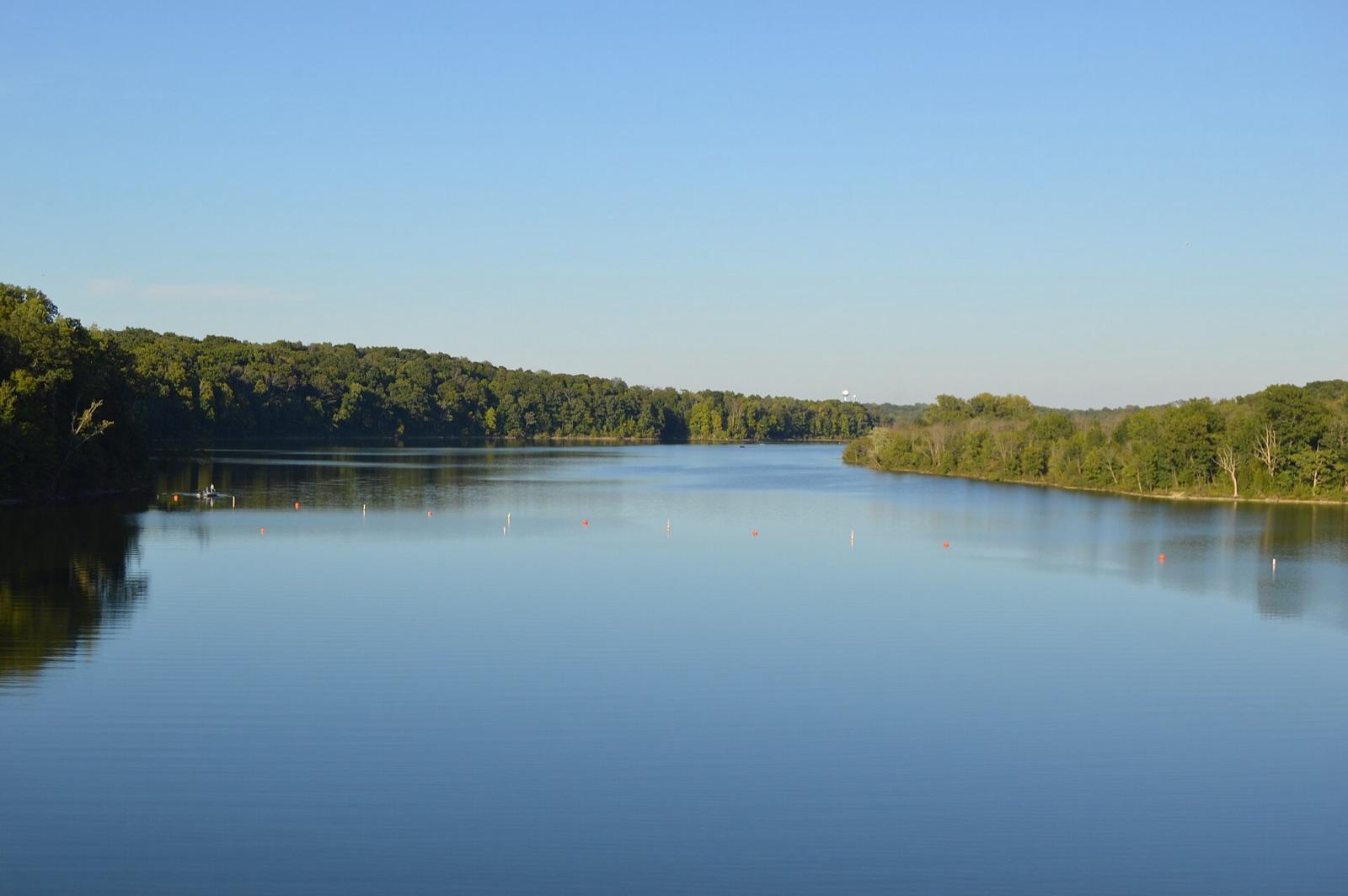 Best spotCaesar Creek Lake SpillwayWarren County, OhioPublic access · Fossil, Trilobite, Brachiopod +2
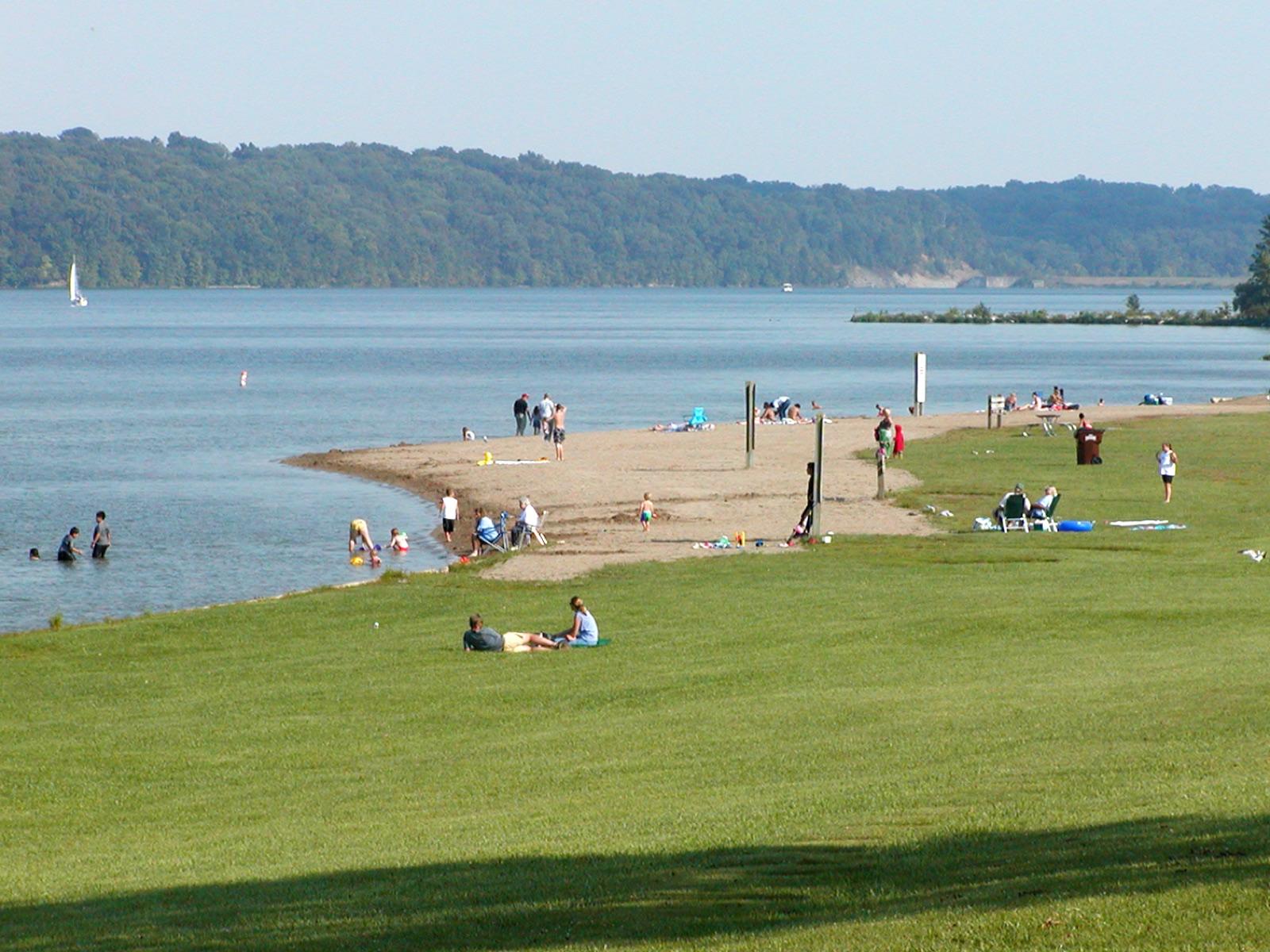 Best spotHueston Woods State ParkPreble County, OhioPublic access · Fossil, Trilobite, Brachiopod +2
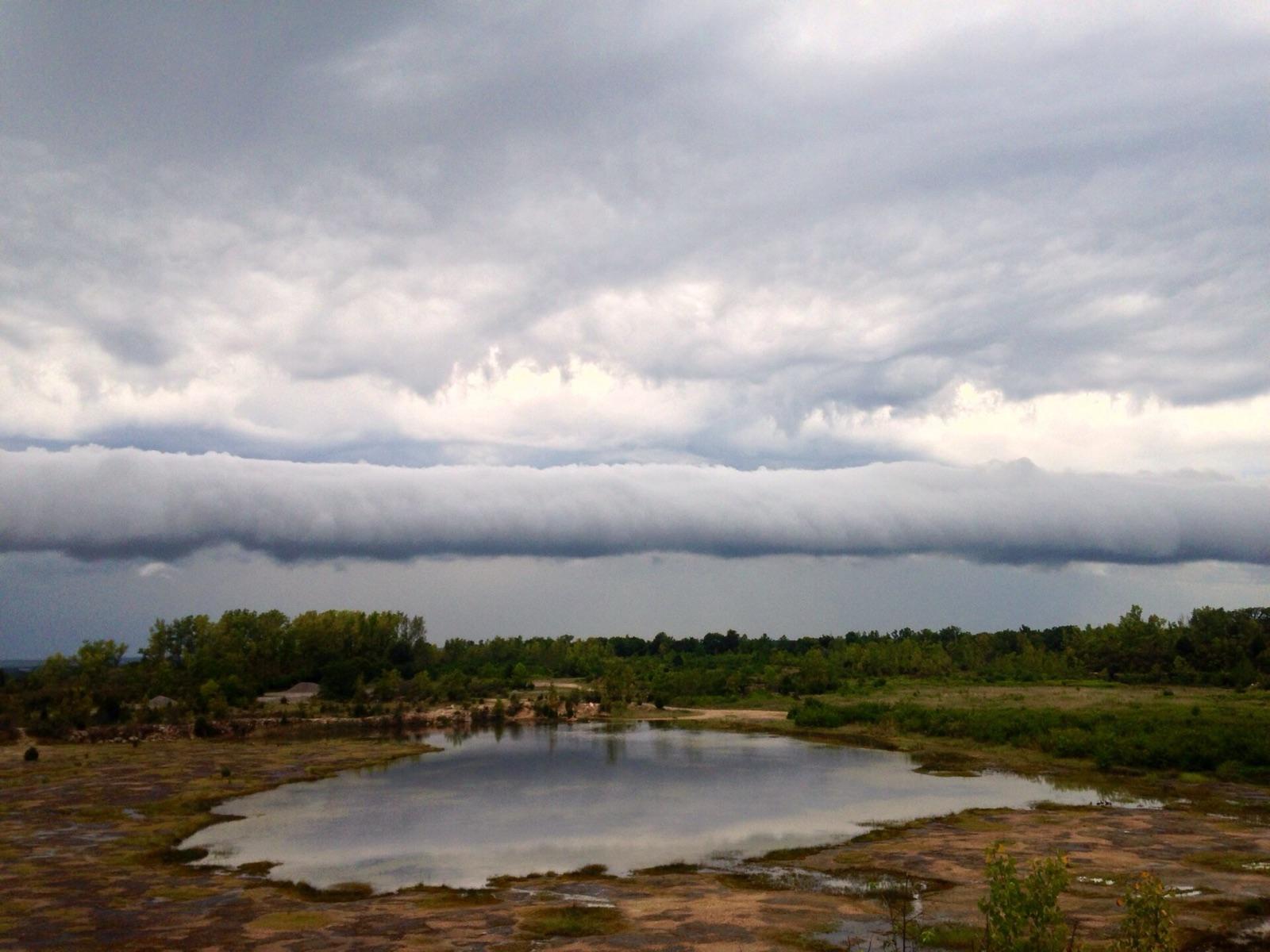 Best spotOakes Quarry ParkGreene County, OhioPublic access · Fossil, Crinoid, Brachiopod +2
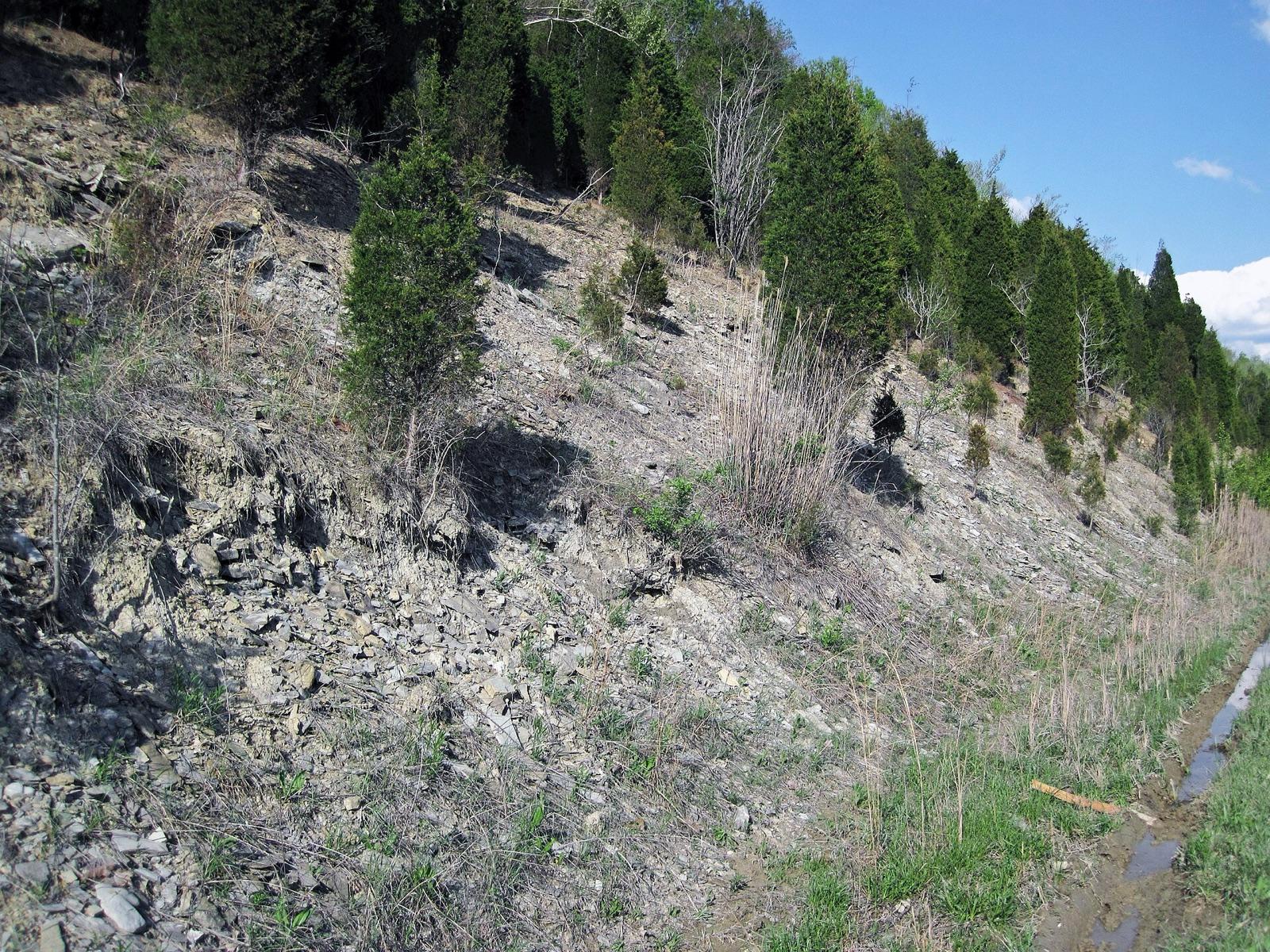 Best spotTrammel Fossil ParkHamilton County, OhioPublic access · Fossil, Trilobite, Brachiopod +2
 Arcola Creek ParkLake County, OhioPublic access · Slag, Crinoid, Fossil +1
- Breakwater BeachAshtabula County, OhioPublic access · Slag, Crinoid, Fossil +1
- Headlands BeachLake County, OhioPublic access · Slag, Crinoid, Fossil +1
Standout crinoid spots in Ohio
Hand-picked from the full list above, with the reason each one earns a trip.
Oakes Quarry Park
Greene County
Oakes Quarry Park exposes the Silurian Brassfield Formation, roughly 440 million years old, and preserves two ancient patch reefs that have yielded 29 species of crinoids, some among the largest ever described.
Trammel Fossil Park
Hamilton County
A graded hillside at Trammel Fossil Park lays bare several formations of Upper Ordovician Cincinnatian limestone and shale, over 440 million years old, in a suburb of the city that gives the Cincinnatian Series its name.
Hueston Woods State Park
Preble County
Hueston Woods is one of the few Ohio state parks that permits fossil collecting, and it is regarded as one of the best places in the world to find Upper Ordovician fossils.
Caesar Creek Lake Spillway
Warren County
The emergency spillway below Caesar Creek dam cut through Upper Ordovician bedrock and exposed one of the richest fossil beds in the eastern United States, packed with brachiopods, bryozoans, crinoids, horn corals, and the trilobite Isotelus, the animal Ohio adopted as its state invertebrate fossil.
Best counties for crinoid in Ohio
Ranked by the number of mapped crinoid spots. County links open the full rockhounding page for that county.
Before you go
Read the crinoid identification guide so you know what a keeper looks like in the field: Crinoid in the encyclopedia.
Crinoid in Ohio FAQ
Where can you find crinoid in Ohio?+
How many crinoid spots are mapped in Ohio?+
Is it legal to collect crinoid in Ohio?+
Where else to find crinoid
More minerals to hunt in Ohio
Hunt crinoid in Ohio with the map in your pocket
RockHoundR puts these spots on an offline map with BLM and Forest Service overlays, geology layers, and a log for your finds.

