
Hog Mountain: Arsenic & Arsenopyrite Rockhounding in Tallapoosa County, Alabama
- Minerals reported
- 8
- Elevation
- 1,070 ft
- Best months
- Year-round
Hog Mountain was the most productive lode gold mine in Alabama, yielding roughly 24,000 ounces from quartz veins in the Tallapoosa County schists during the early 20th century. The deposit pairs free gold with a sulfide suite of pyrite, galena, sphalerite, and arsenopyrite that marks the heart of the state's gold belt. The site is private and reclaimed, so it stands as the belt's marquee locality best worked with landowner permission or panned in the surrounding public creeks. Reported finds include arsenic, arsenopyrite, galena, gold, graphite, and more. Below: coordinates, access notes, nearby spots, and trip-planning links.
Plan your visit
Permission required before collecting
- County
- Tallapoosa County
- State
- Alabama
- Coordinates
- 33.07594, -85.84974
Coordinates are approximate. Confirm the exact ground in the RockHoundR app, where land overlays show which agency manages the area.
Land & collecting status
Permission required before collecting
Requires landowner or agency permission before any collecting. Do not enter without explicit authorization.
Access note: Hog Mountain was Alabama's largest lode gold producer and the ground is private and partly reclaimed, so collecting on the old workings requires the current landowner's permission. Trespass is a misdemeanor under Alabama Code, so secure access first. Placer gold can also be panned from nearby gold-belt creeks where public road right-of-ways or permission allow, using hand tools only.
Public-land rules vary by agency, season, and field office. The RockHoundR app pulls live BLM, USFS, NPS, and tribal overlays so you can see exactly which agency manages the ground at this spot.
Best time to visit Hog Mountain
Comfortable months (45 to 90°F highs)
Conditions here are workable year-round, with typical highs from 55°F in winter to 90°F in summer.
Climate normals: NOAA 1991-2020 monthlies, ALEXANDER CITY station (12 mi away), adjusted for elevation.
Geology at Hog Mountain
This spot sits on Bluff Springs Granite, mapped as tonalite, quartz monzonite, and trondhjemite that formed roughly 390 to 330 million years ago. Gold in granitic terrain like this is typically tied to quartz veins along contacts and shear zones, with placer color in the streams that drain them.
- Mapped unit
- Bluff Springs Granite
- Age
- 390–330 Ma (Middle Devonian to Mississippian)
- Rock types
- tonalite, quartz monzonite, and trondhjemite
- Elevation
- 1,070 ft
Geologic mapping via Macrostrat and the underlying state geological survey maps (CC BY 4.0). Bedrock at the surface can vary within a mapped unit.
Today's weather
Is today a good day to go?
The app shows live weather, recent rain, and a daily rockhounding score for Hog Mountain.
Get the appSources & verification
Spot details combine the public RockHoundR location dataset, normalized mineral labels, agency land-status checks in the app, and community submissions. Coordinates are approximate until verified in the field.
- Geological Survey of Alabama
- National Forests in Alabama
- Alabama State Parks rules
- Community submissions reviewed against published agency rules
Found at Hog Mountain
Each name opens all spots that produce that material; the encyclopedia link opens the full ID and field guide.
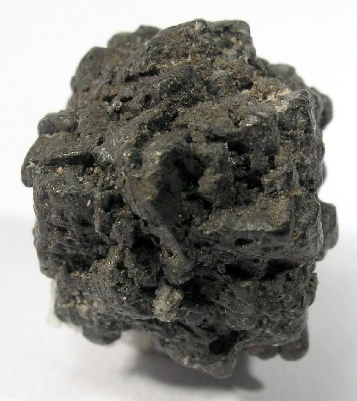
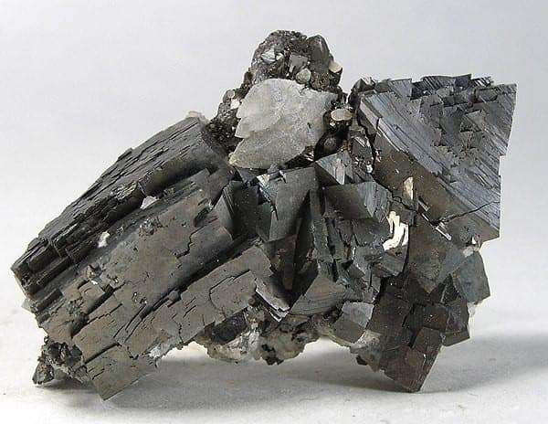
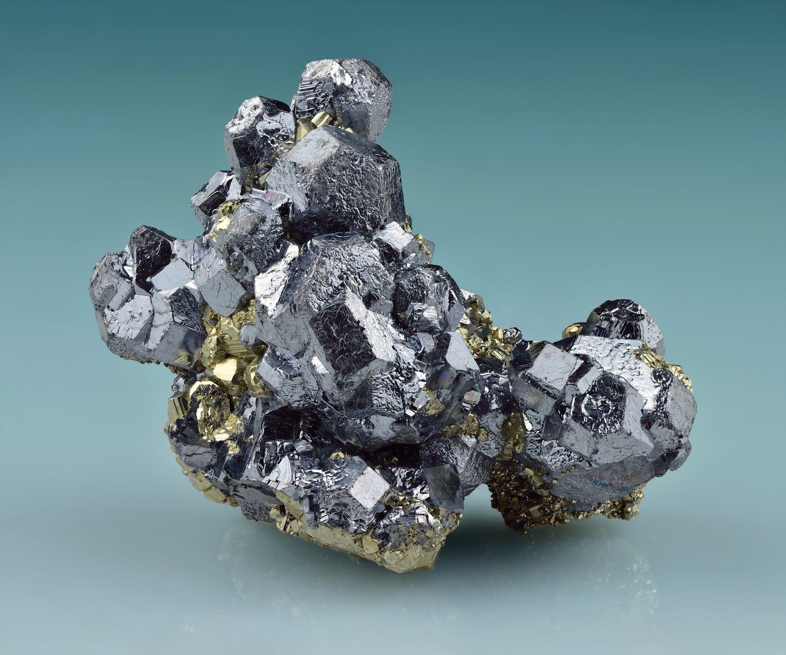
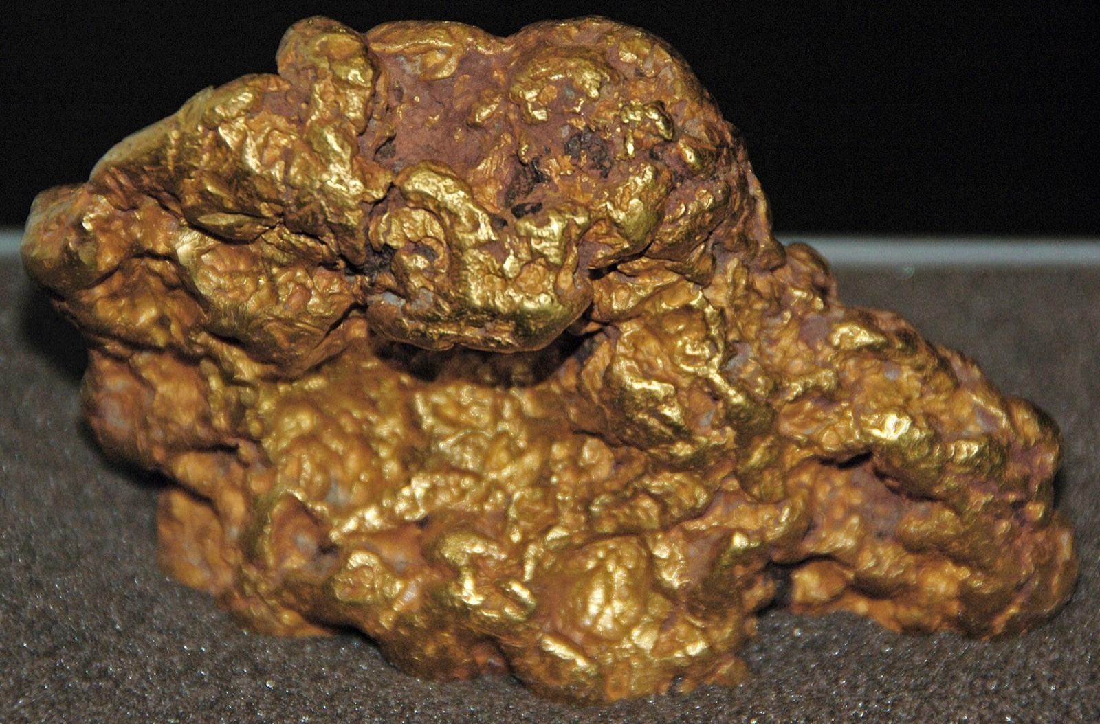
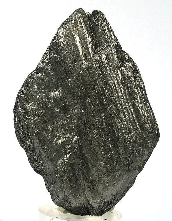
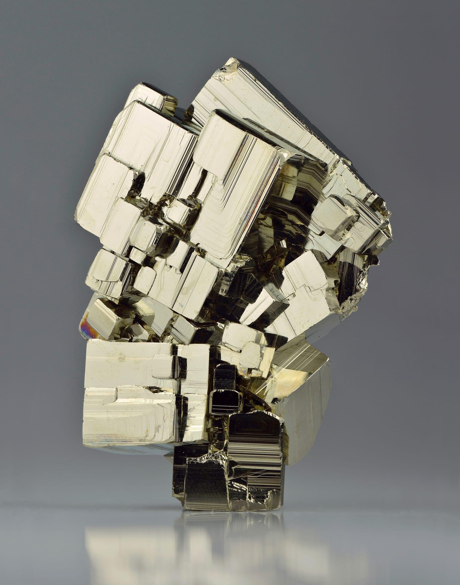
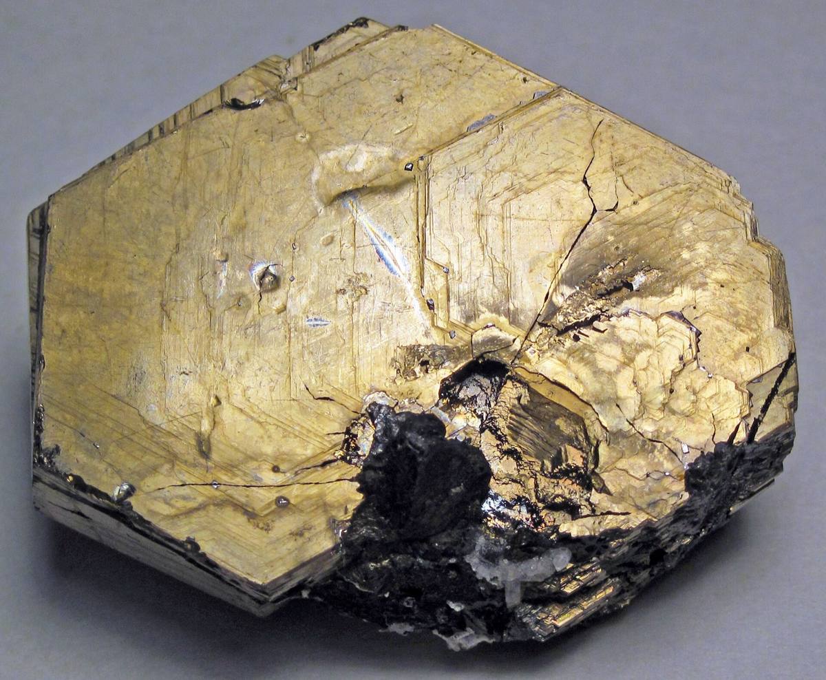
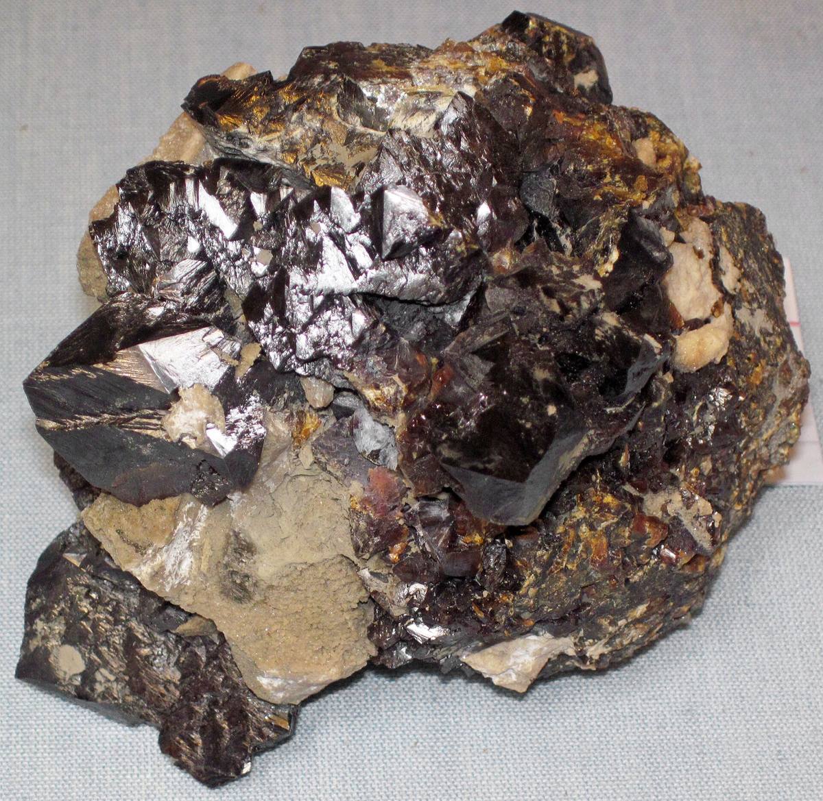
Nearby rockhounding spots
Other rockhounding spots within driving distance of Hog Mountain.
- Pleasant Grove ChurchClay County, Alabama · 17 mi awayCopper, Turquoise
- Buzzard CreekClay County, Alabama · 18 mi awayChlorite, Green Quartz
- Bob Lee MineClay County, Alabama · 18 mi awayGarnet
- Gibson MineClay County, Alabama · 19 mi awayGarnet
- Lake Martin OutcropsTallapoosa County, Alabama · 19 mi awayEpidote, Actinolite, Bronzite
- Gold Mines Creek (West)Clay County, Alabama · 19 mi awayApatite, Beryl, Albite
- Gold Mines Creek (East)Clay County, Alabama · 19 mi awayActinolite, Chlorite, Olivine
- Pleasant Grove RoadClay County, Alabama · 20 mi awayQuartz
Across the state line from Hog Mountain
Hog Mountain is close enough to the Alabama border that the next-closest rockhounding spots are in a neighboring state. Worth knowing if you are already on the road.
- Hogg MineTroup County, Georgia · 48 mi awayAmethyst, Aquamarine, Beryl
- Hogg MineTroup County, Georgia · 49 mi away
- Tallapoosa RiverCarroll County, Georgia · 56 mi awayRuby
- BremenHaralson County, Georgia · 56 mi awayQuartz
- CarrolltonCarroll County, Georgia · 59 mi awayAsbestos, Garnet, Olivine
- Chattahoochee RiverMuscogee County, Georgia · 63 mi awayChalcedony, Chert, Flint
Hog Mountain FAQ
Where is Hog Mountain?+
What rocks and minerals can you find at Hog Mountain?+
Is collecting allowed at Hog Mountain?+
What tools should I bring to Hog Mountain?+
When is the best time to visit Hog Mountain?+
How do I get to Hog Mountain?+
More rockhounding in Alabama
See all 30 Alabama spots →
Open Hog Mountain on the map
Use the RockHoundR app for live land overlays, weather, geology, directions, and saved finds.


