
Yellville Mines: Galena & Pyrite Rockhounding in Marion County, Arkansas
- Minerals reported
- 4
- Elevation
- 910 ft
- Best months
- Year-round
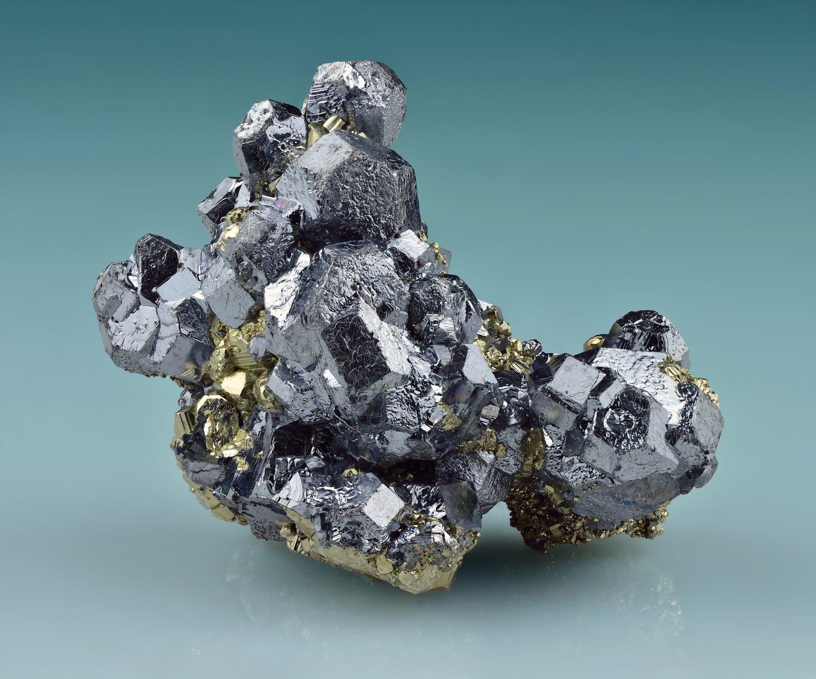
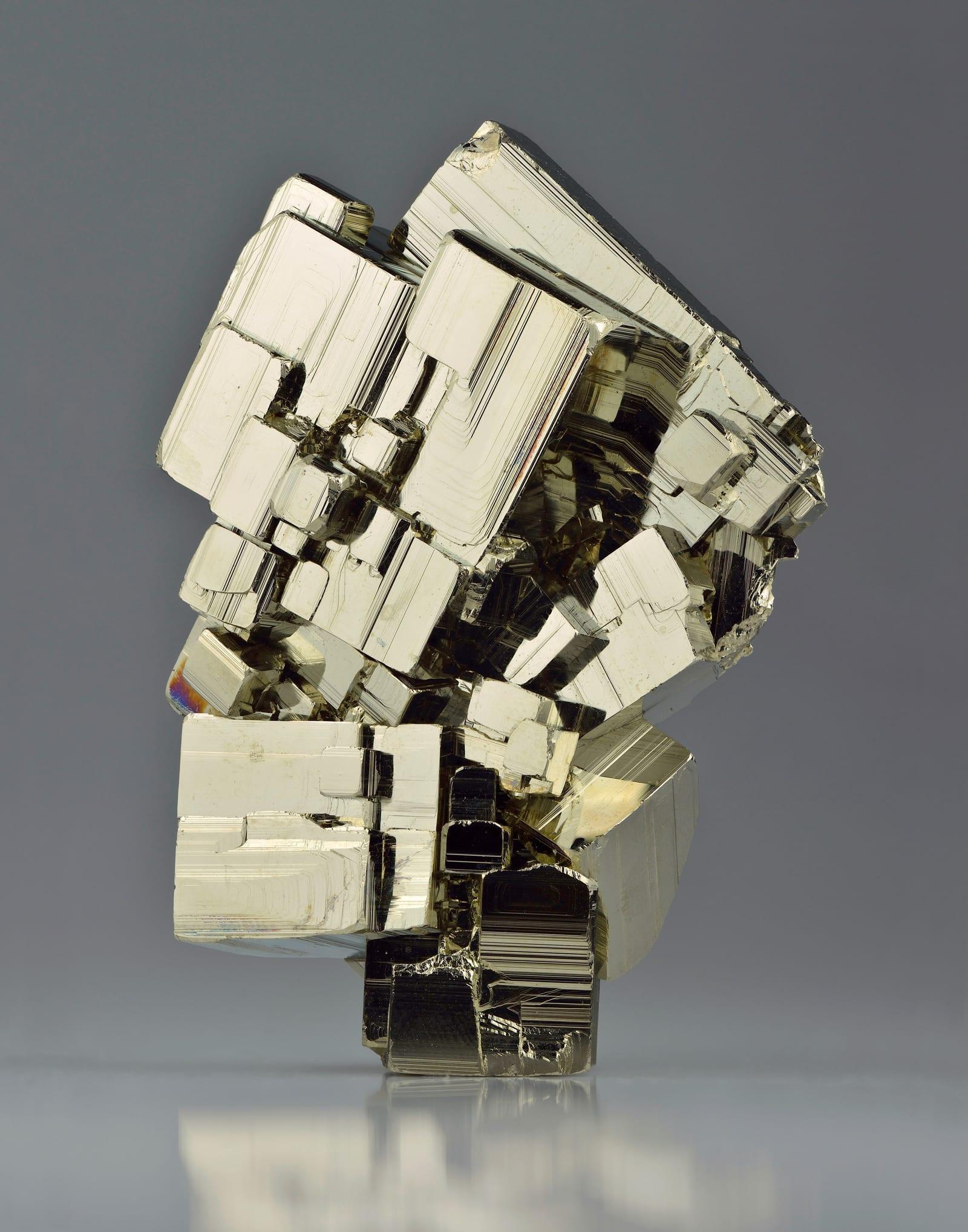
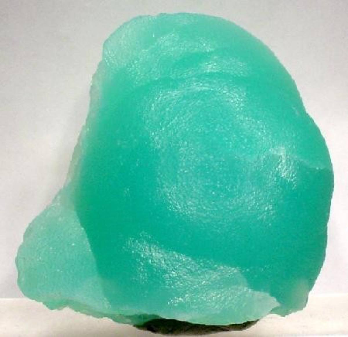
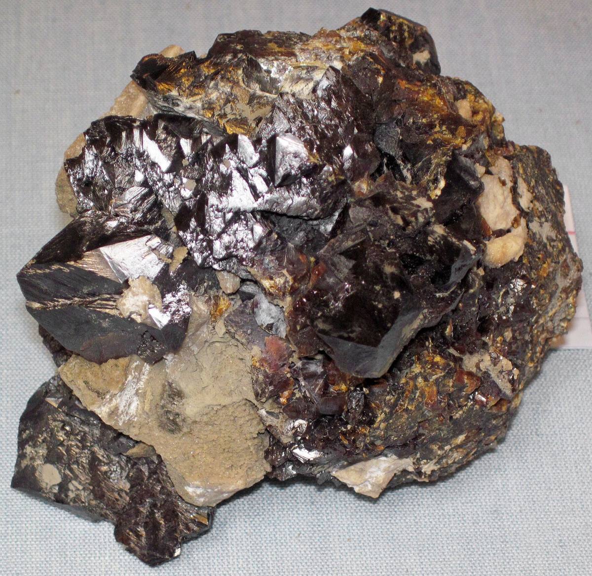
Yellville belongs to north Arkansas's historic lead-zinc belt, where Arkansas Geological Survey summaries record galena, sphalerite, and smithsonite production from Marion County and nearby Ozark districts. The mine-dump setting is notable because it exposes a compact suite of sulfide and carbonate zinc minerals in a state better known to many collectors for quartz and diamonds. Reported finds include galena, pyrite, smithsonite, sphalerite. Below: coordinates, access notes, nearby spots, and trip-planning links.
Plan your visit
Confirm rules before collecting
- County
- Marion County
- State
- Arkansas
- Nearest road
- Mine Level Trail
- Coordinates
- 36.13319, -92.56237
Coordinates are approximate. Confirm the exact ground in the RockHoundR app, where land overlays show which agency manages the area.
Land & collecting status
Confirm rules before collecting
Land status here is not confirmed. Verify with the managing agency before collecting, federal, state, and tribal rules differ.
Public-land rules vary by agency, season, and field office. The RockHoundR app pulls live BLM, USFS, NPS, and tribal overlays so you can see exactly which agency manages the ground at this spot.
Best time to visit Yellville Mines
Comfortable months (45 to 90°F highs)
Conditions here are workable year-round, with typical highs from 47°F in winter to 88°F in summer.
Climate normals: NOAA 1991-2020 monthlies, GILBERT station (13 mi away), adjusted for elevation.
Geology at Yellville Mines
This spot sits on St. Peter Sandstone and Everton Formation (Middle Ordovician), mapped as sandstone and dolostone that formed roughly 470 to 460 million years ago. Carbonate rock like this is the classic host for lead, zinc, and fluorite mineralization, which typically follows old cavities and replacement zones.
- Mapped unit
- St. Peter Sandstone and Everton Formation (Middle Ordovician)
- Age
- 470–460 Ma (Middle Ordovician)
- Rock types
- sandstone and dolostone
- Elevation
- 910 ft
Geologic mapping via Macrostrat and the underlying state geological survey maps (CC BY 4.0). Bedrock at the surface can vary within a mapped unit.
Today's weather
Is today a good day to go?
The app shows live weather, recent rain, and a daily rockhounding score for Yellville Mines.
Get the appSources & verification
Spot details combine the public RockHoundR location dataset, normalized mineral labels, agency land-status checks in the app, and community submissions. Coordinates are approximate until verified in the field.
State guidance last verified:
- Ouachita National Forest, Mineral Collecting
- Crater of Diamonds State Park, Rules and finds
- Arkansas Geological Survey
- Community submissions reviewed against published agency rules
Found at Yellville Mines
Each name opens all spots that produce that material; the encyclopedia link opens the full ID and field guide.
Nearby rockhounding spots
Other rockhounding spots within driving distance of Yellville Mines.
- Abandoned Mines (Yellville area)Marion County, Arkansas · 1 mi awaySmithsonite, Calcite, Quartz
- Silver Hollow Bluff MineMarion County, Arkansas · 2 mi awayZinc
- Clabber CreekMarion County, Arkansas · 3 mi awayAgate
- Willie Rickard Rock FarmSaline County, Arkansas · 95 mi awayQuartz
- Unnamed Location (Smoky Quartz & Calcite)Saline County, Arkansas · 95 mi awaySmoky Quartz, Calcite, Chert
- Unnamed Location (Serpentine)Saline County, Arkansas · 101 mi awaySerpentine
- Coleman's Crystal MineGarland County, Arkansas · 105 mi awayQuartz
- Ron Coleman MiningGarland County, Arkansas · 106 mi awayQuartz, Amethyst, Smoky Quartz
Across the state line from Yellville Mines
Yellville Mines is close enough to the Arkansas border that the next-closest rockhounding spots are in a neighboring state. Worth knowing if you are already on the road.
- Timber KnobOzark County, Missouri · 30 mi awayWhite Chert
- Alice Mine near ElijahHowell County, Missouri · 40 mi awayDolomite, Greenockite, Pyrite
- MansfieldWright County, Missouri · 68 mi awayGalena, Smithsonite, Sphalerite
Yellville Mines FAQ
Where is Yellville Mines?+
What rocks and minerals can you find at Yellville Mines?+
Is collecting allowed at Yellville Mines?+
What tools should I bring to Yellville Mines?+
When is the best time to visit Yellville Mines?+
How do I get to Yellville Mines?+
More rockhounding in Arkansas
See all 37 Arkansas spots →
Open Yellville Mines on the map
Use the RockHoundR app for live land overlays, weather, geology, directions, and saved finds.


