
Cape Henlopen: Quartz Rockhounding in Sussex County, Delaware
- Mineral reported
- 1
- Elevation
- 0 ft
- Best months
- Year-round
Cape Henlopen sits at the mouth of Delaware Bay, where longshore currents pile up the water-clear quartz pebbles known as Cape Henlopen (or Cape May) diamonds, sometimes tinted milky, rose, or smoky. The same beaches turn up jasper, chert, and the odd shark tooth or bone fragment worked down from offshore deposits. It is the single most recognizable rock-hunting beach in the state, wrapped around a 5,400-acre park of dunes, maritime forest, and a historic point. The wide public strand gives room to comb the pebble lines after storms and high tides. Reported finds include quartz. Below: coordinates, access notes, nearby spots, and trip-planning links.
Plan your visit
Permission required before collecting
- County
- Sussex County
- State
- Delaware
- Nearest road
- Post Road
- Coordinates
- 38.79720, -75.08948
Coordinates are approximate. Confirm the exact ground in the RockHoundR app, where land overlays show which agency manages the area.
Land & collecting status
Permission required before collecting
Requires landowner or agency permission before any collecting. Do not enter without explicit authorization.
Access note: Cape Henlopen is a Delaware State Park, and state-park rules (7 DE Admin Code 9201) restrict removing natural material without authorization; an entrance fee applies in season. In practice, casually picking up a few loose quartz pebbles on the open beach is a long tradition here, but this is not a dig site: no digging, stay off the dunes, and ask a ranger about current collecting rules and seasonal bird-nesting closures at the point.
Public-land rules vary by agency, season, and field office. The RockHoundR app pulls live BLM, USFS, NPS, and tribal overlays so you can see exactly which agency manages the ground at this spot.
Best time to visit Cape Henlopen
Comfortable months (45 to 90°F highs)
Conditions here are workable year-round, with typical highs from 46°F in winter to 88°F in summer.
Climate normals: NOAA 1991-2020 monthlies, LEWES station (4 mi away).
Geology at Cape Henlopen
This spot sits on Chesapeake Group, mapped as silt that formed roughly 66 to 3 million years ago. Loose deposits like these are float-collecting ground: erosion keeps moving durable rocks and minerals into gravel bars, cutbanks, and washes.
- Mapped unit
- Chesapeake Group
- Age
- 66–3 Ma (Tertiary)
- Rock types
- silt
- Elevation
- 0 ft
Geologic mapping via Macrostrat and the underlying state geological survey maps (CC BY 4.0). Bedrock at the surface can vary within a mapped unit.
Today's weather
Is today a good day to go?
The app shows live weather, recent rain, and a daily rockhounding score for Cape Henlopen.
Get the appSources & verification
Spot details combine the public RockHoundR location dataset, normalized mineral labels, agency land-status checks in the app, and community submissions. Coordinates are approximate until verified in the field.
- Delaware Geological Survey
- Delaware State Parks rules
- Community submissions reviewed against published agency rules
Found at Cape Henlopen
Each name opens all spots that produce that material; the encyclopedia link opens the full ID and field guide.
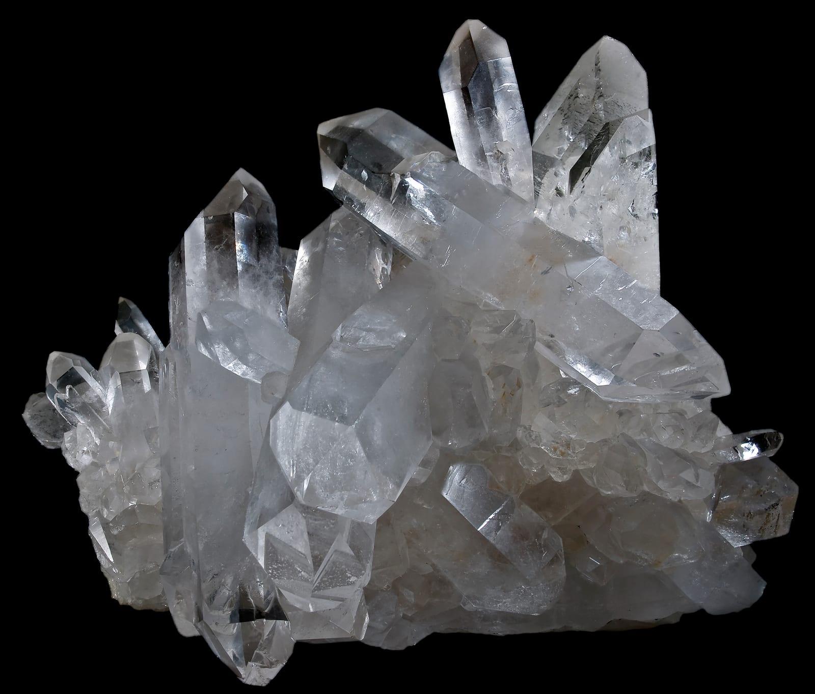
Nearby rockhounding spots
Other rockhounding spots within driving distance of Cape Henlopen.
- Deauville BeachSussex County, Delaware · 5 mi awayQuartz
- Fowler BeachSussex County, Delaware · 11 mi awayQuartz
- Slaughter BeachSussex County, Delaware · 14 mi awayQuartz, Jasper
- Pepper CreekSussex County, Delaware · 21 mi awayFossil
- Bowers BeachKent County, Delaware · 25 mi awayQuartz
- Coursey PondKent County, Delaware · 27 mi awayFossil
- Killen PondKent County, Delaware · 27 mi awayFossil
- LaurelSussex County, Delaware · 32 mi awayIron Ore
Across the state line from Cape Henlopen
Cape Henlopen is close enough to the Delaware border that the next-closest rockhounding spots are in a neighboring state. Worth knowing if you are already on the road.
- Higbee Beach Wildlife Management AreaCape May County, New Jersey · 12 mi awayQuartz, Chalcedony
- Cape MayCape May County, New Jersey · 13 mi awayQuartz, Chalcedony
- Ocean CityWorcester County, Maryland · 26 mi awayQuartz
- Salem CountySalem County, New Jersey · 54 mi awayAmber
- Atlantic CountyAtlantic County, New Jersey · 55 mi awayQuartz
- Oldman’s CreekSalem County, New Jersey · 62 mi awayAmber
Cape Henlopen FAQ
Where is Cape Henlopen?+
What rocks and minerals can you find at Cape Henlopen?+
Is collecting allowed at Cape Henlopen?+
What tools should I bring to Cape Henlopen?+
When is the best time to visit Cape Henlopen?+
How do I get to Cape Henlopen?+
More rockhounding in Delaware
See all 13 Delaware spots →
Open Cape Henlopen on the map
Use the RockHoundR app for live land overlays, weather, geology, directions, and saved finds.


